Day One
Because there are only so many roads into the park, Glacier is naturally split into 5 or so different areas – The North Fork, Goat Haunt, Two Medicine, Many Glacier, and The Going-to-the-Sun Road (which connects St. Mary to Apgar). It’s pretty much impossible to see the entirety of Glacier in one visit, especially since most of it is only open July – September. Some of the park areas are fully unpaved roads and can’t even be accessed if you’re driving RVs/trailers/larger vehicles!
One of the more popular areas is Many Glacier, the destination of our first day here! Because of the limited window this park is open, some of the trails aren’t even cleared for hiking (safely) this early in the season. Always be sure to check the NPS website to see if the trail you want to hike is going to be open when you’re there. Sadly for us, this meant the Grinnell Glacier trail was not open all the way to the glacier during our visit. But that didn’t stop us from making the best of it!
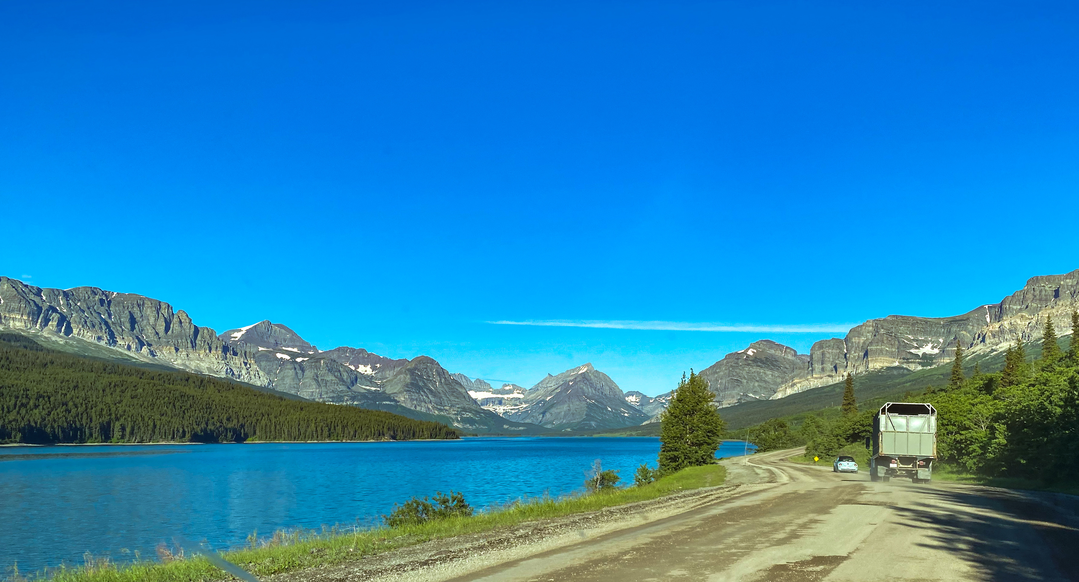
Many Glacier Road was both gorgeous and unattractive at the same time. The actual road is undergoing construction as warmer weather is needed to do so, and that means during peak season. On the other hand, driving past Lake Sherburne on the way in – one of Glacier’s 700+ stunning lakes (131 of which are named) – was a gorgeous sight to start our day in the park.
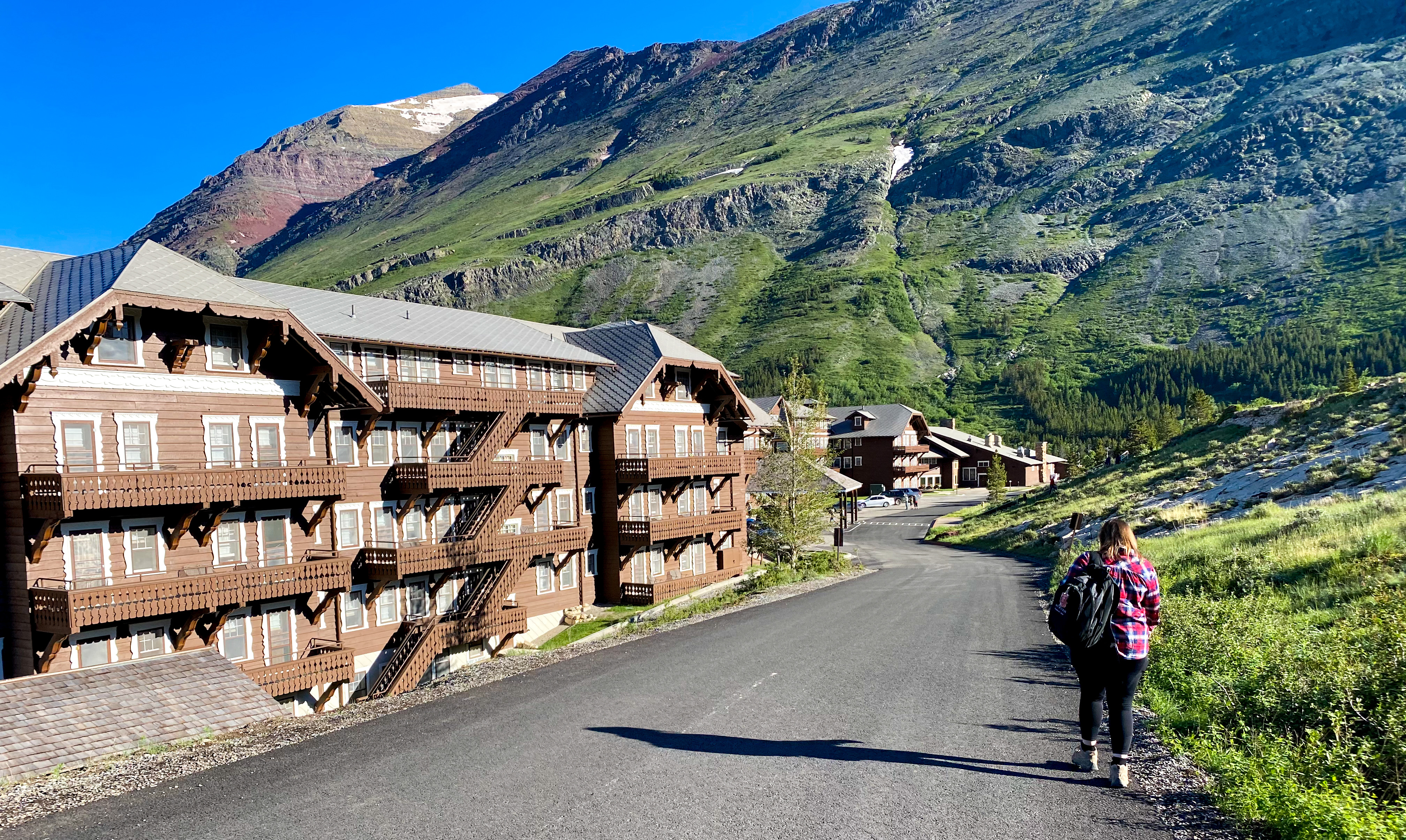
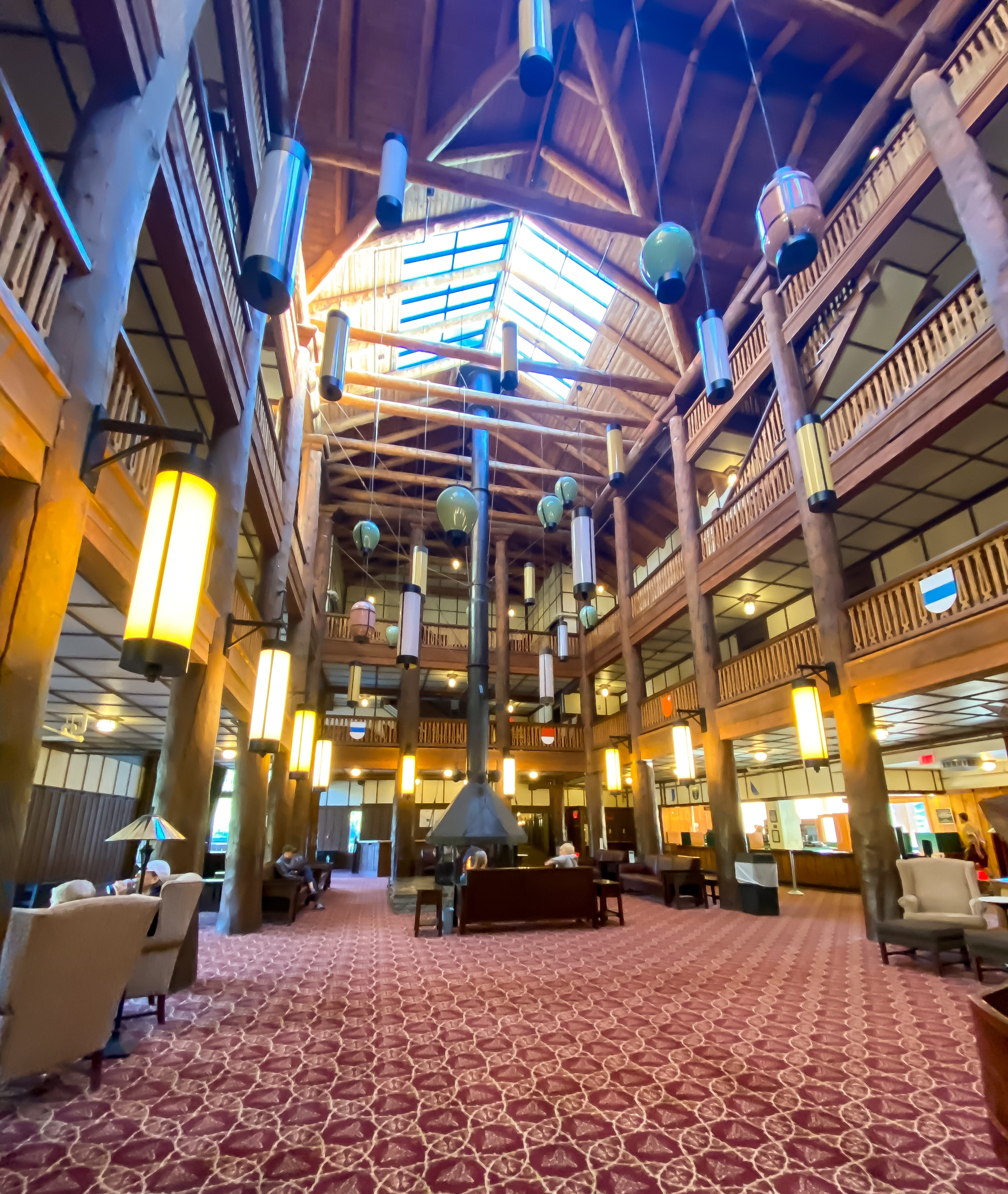
We parked in the Many Glacier Hotel parking lot and made our way into the building. Yet another historic park hotel, The Many Glacier Hotel was opened in 1915, 5 years after Glacier officially became a National Park. It takes inspiration from Swiss design style, which is fitting as it sits in what’s known as the “American Alps”.
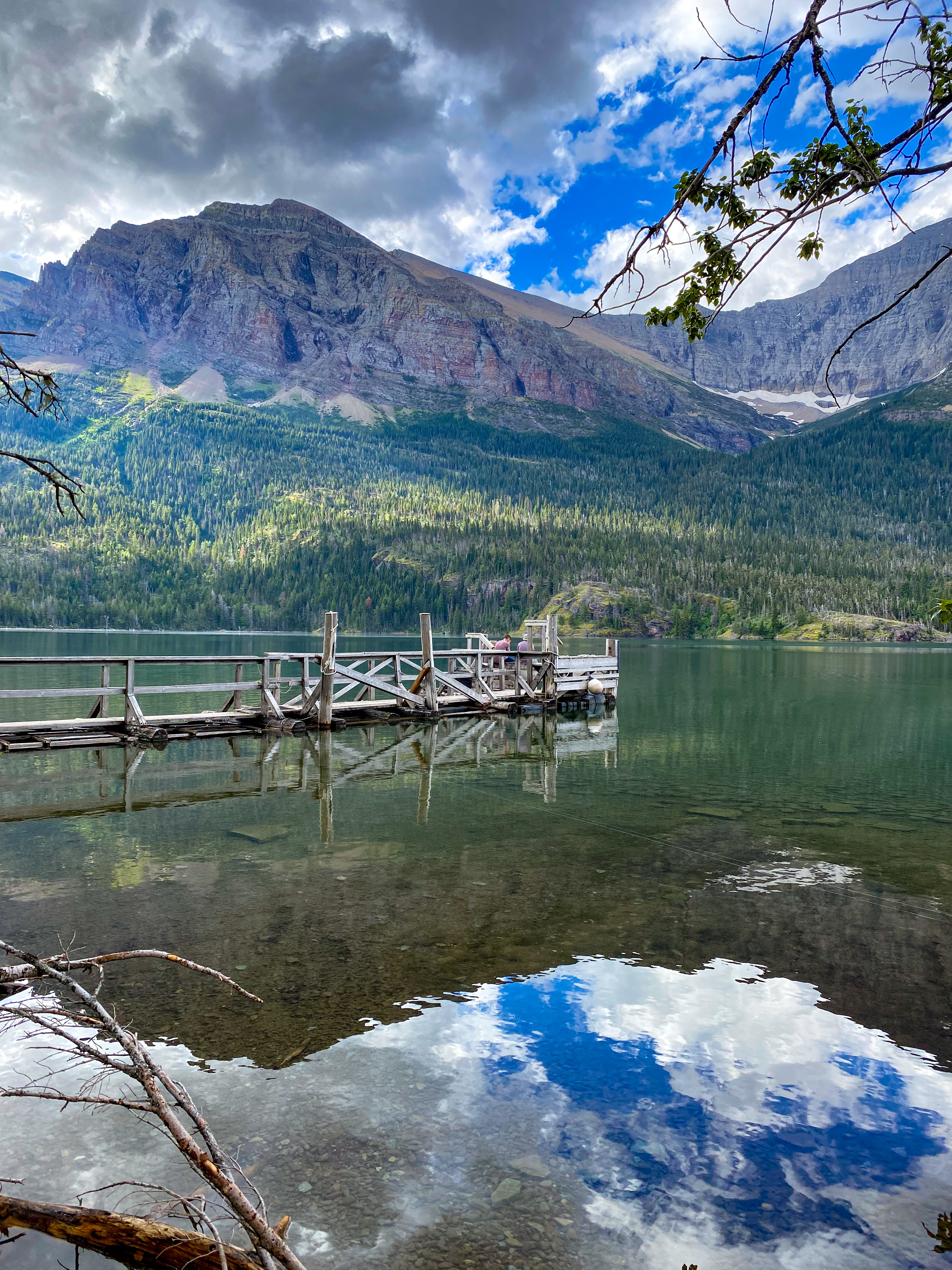
Because we arrived before 8:30 am, we decided to see if there were any boat shuttles available across the two lakes in the Many Glacier area, Swiftcurrent Lake and Lake Josephine. The hike to Grinnell Lake and Grinnell Glacier are on the other side of these two lakes, so taking the shuttle across shaves off 3.4 miles to your hike and allows you to see this beautiful landscape from a different point of view.
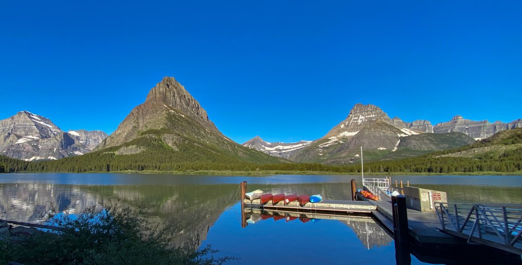
We were waitlisted, but thankfully because today was the first day the Going-to-the-Sun Road opened for the season, slots started opening up and we made it onto the 10 am boat shuttle! The way these boat tours work is you take one boat across Swiftcurrent Lake (the one in front of the hotel), hike 0.2 miles through the woods, and then another boat across Lake Josephine, which is a completely isolated lake – they talked about how they used the avalanche chute to get this boat into the lake because it’s all land-blocked. Scroll through the pictures below to see some amazing views from the boat of the hotel, eagles, ducks, beaver dams, and towering mountains!
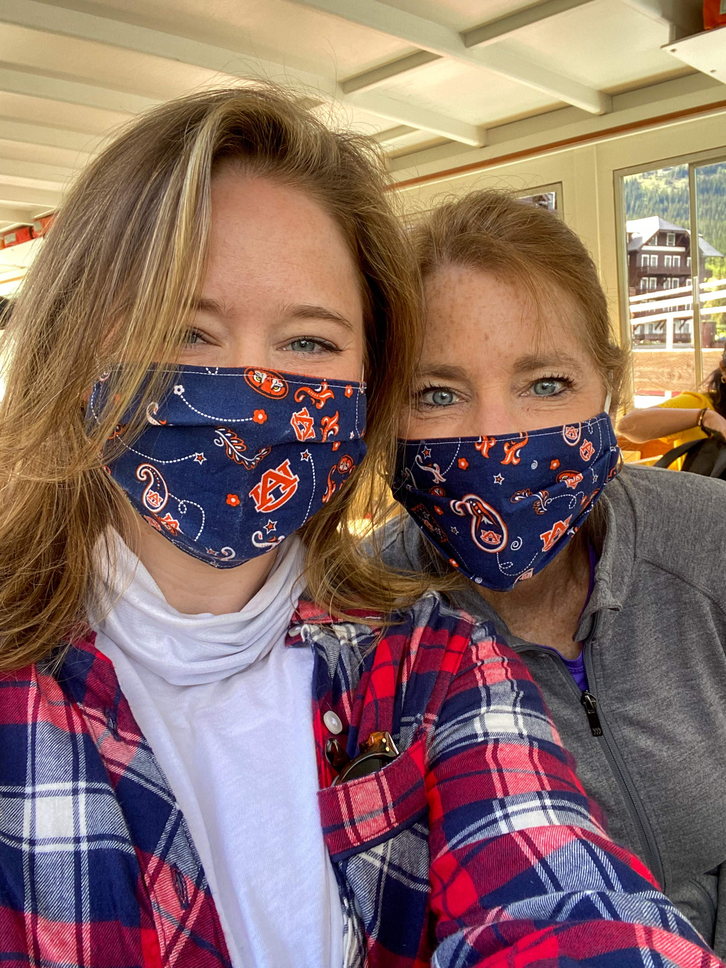
Boat Selfie! 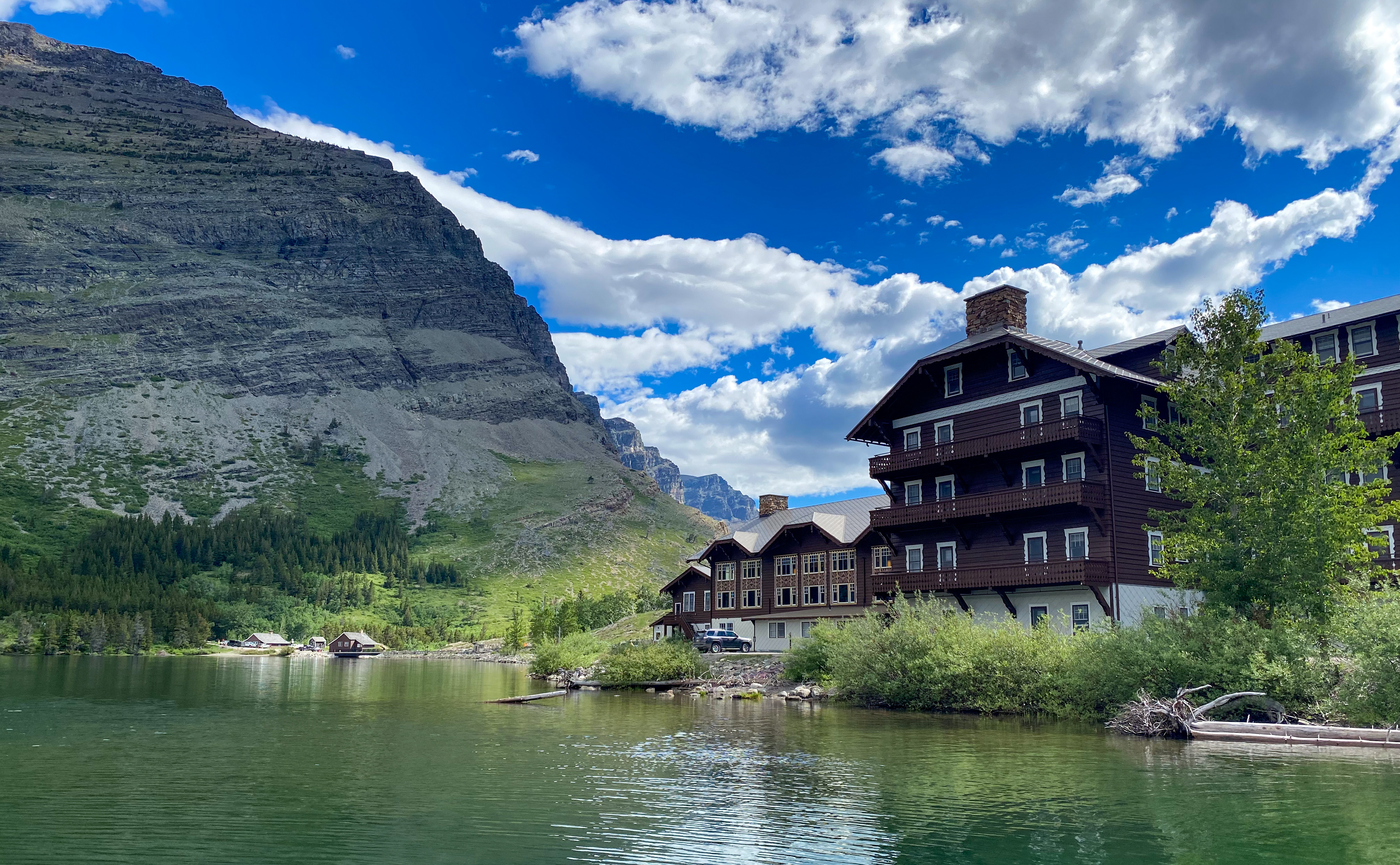
Many Glacier Hotel from the boat 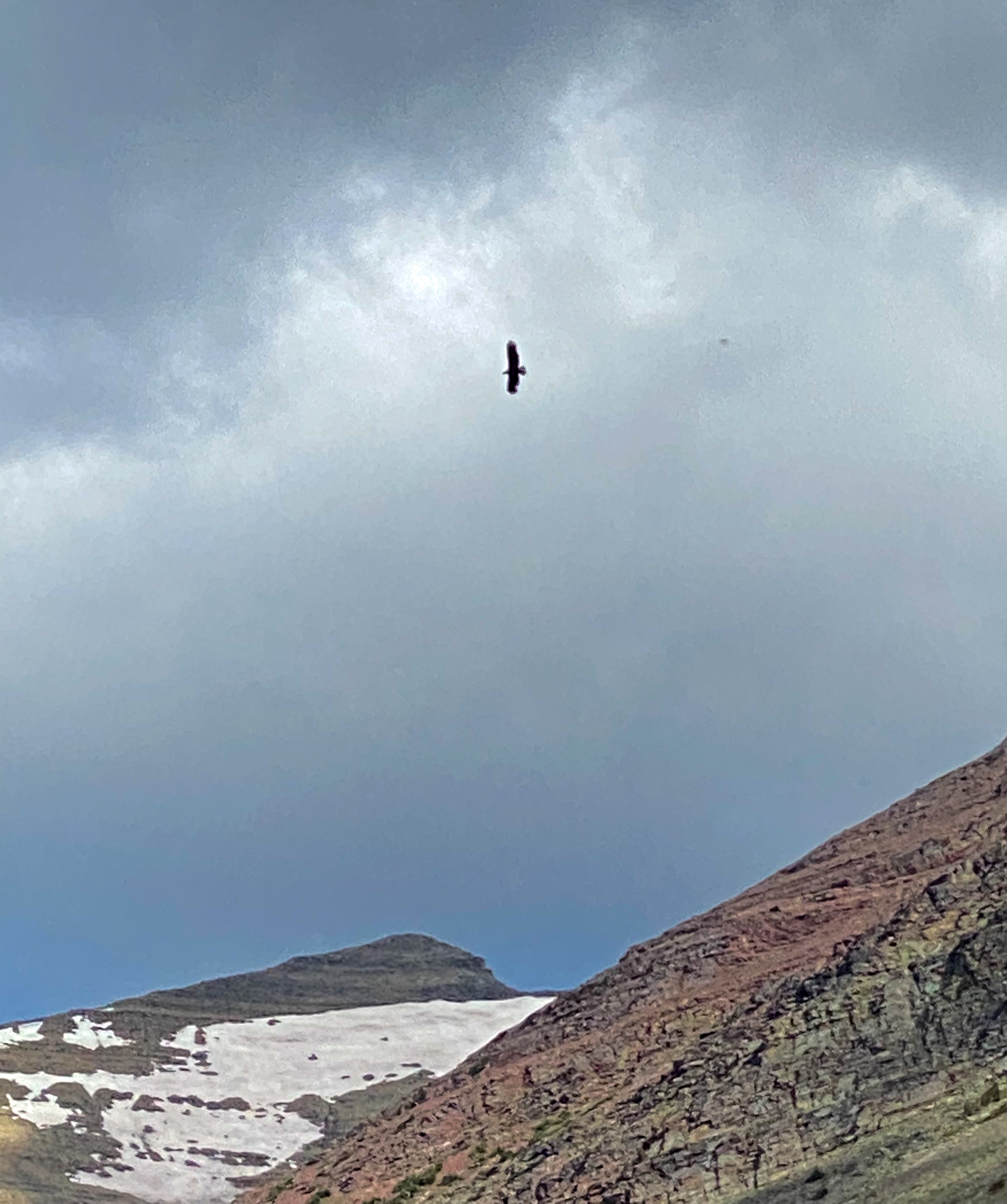
Bald Eagle flying above 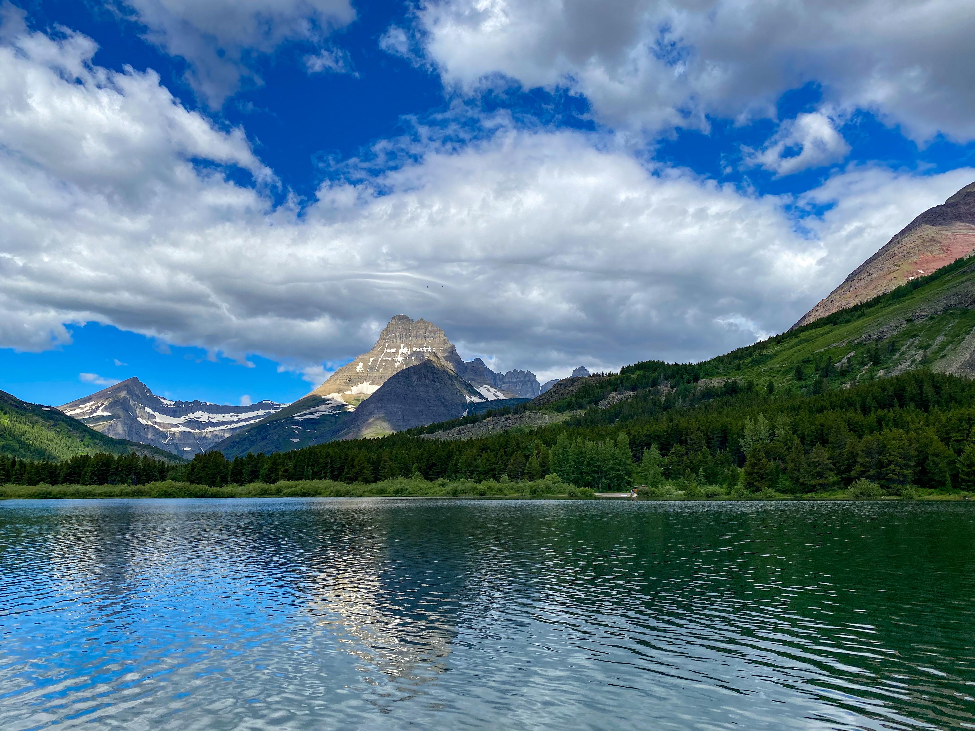
Views of Swiftcurrent Lake 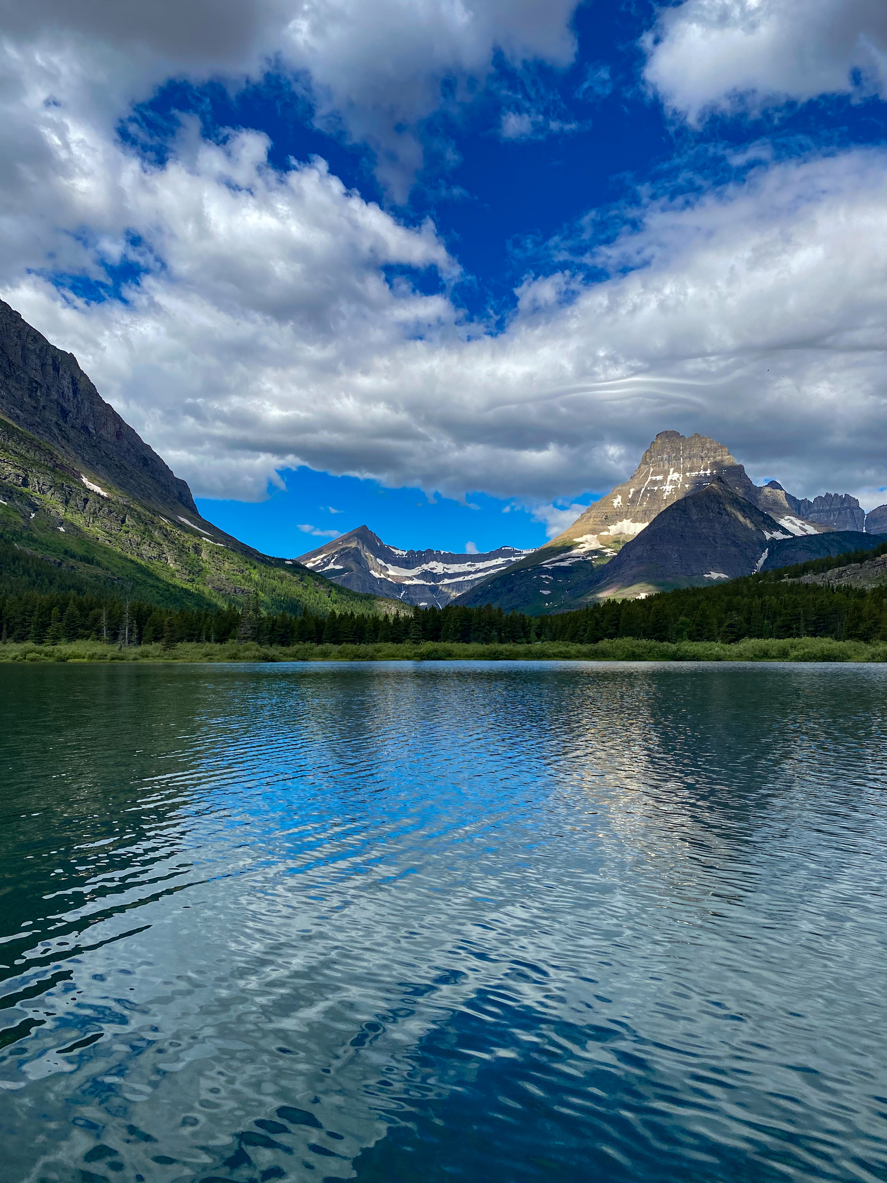
Mt. Wilbur 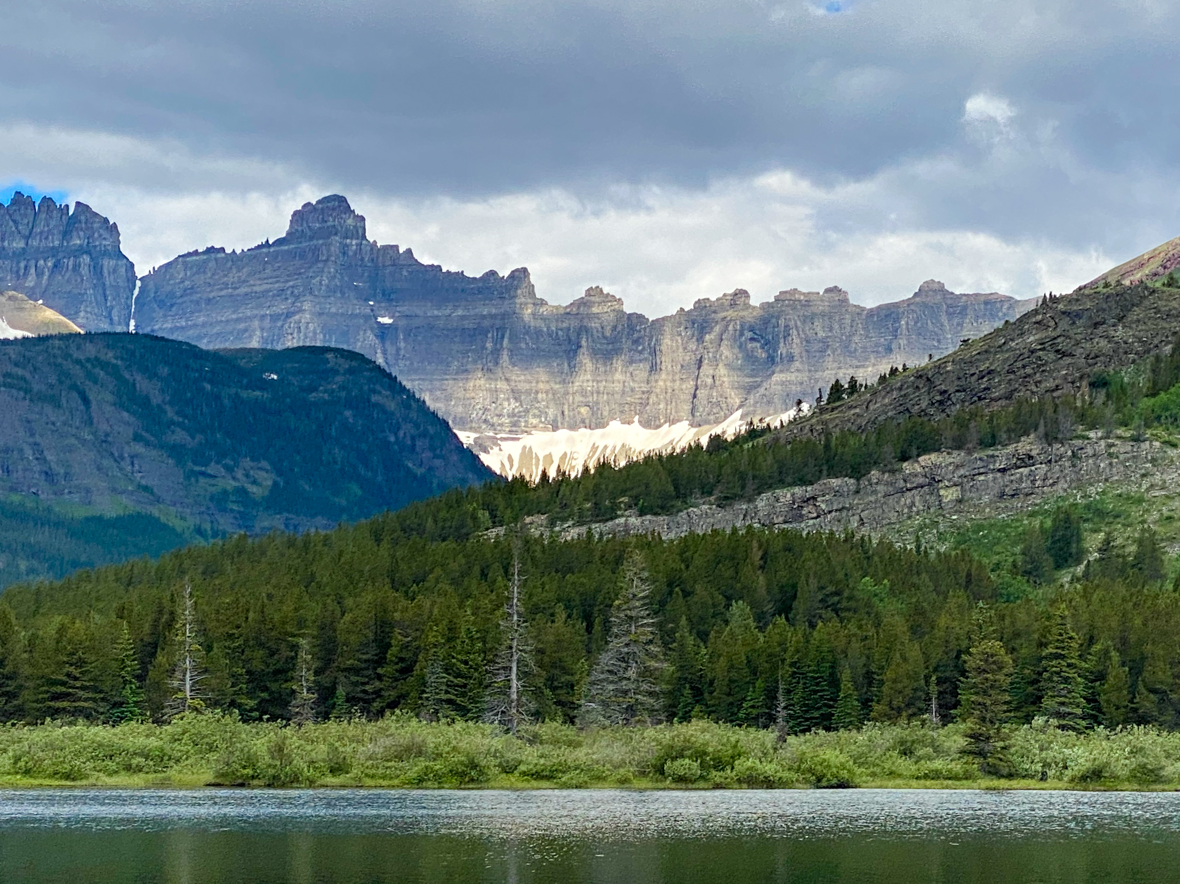
Ptarmigan Wall – so thin at the top, you could straddle it 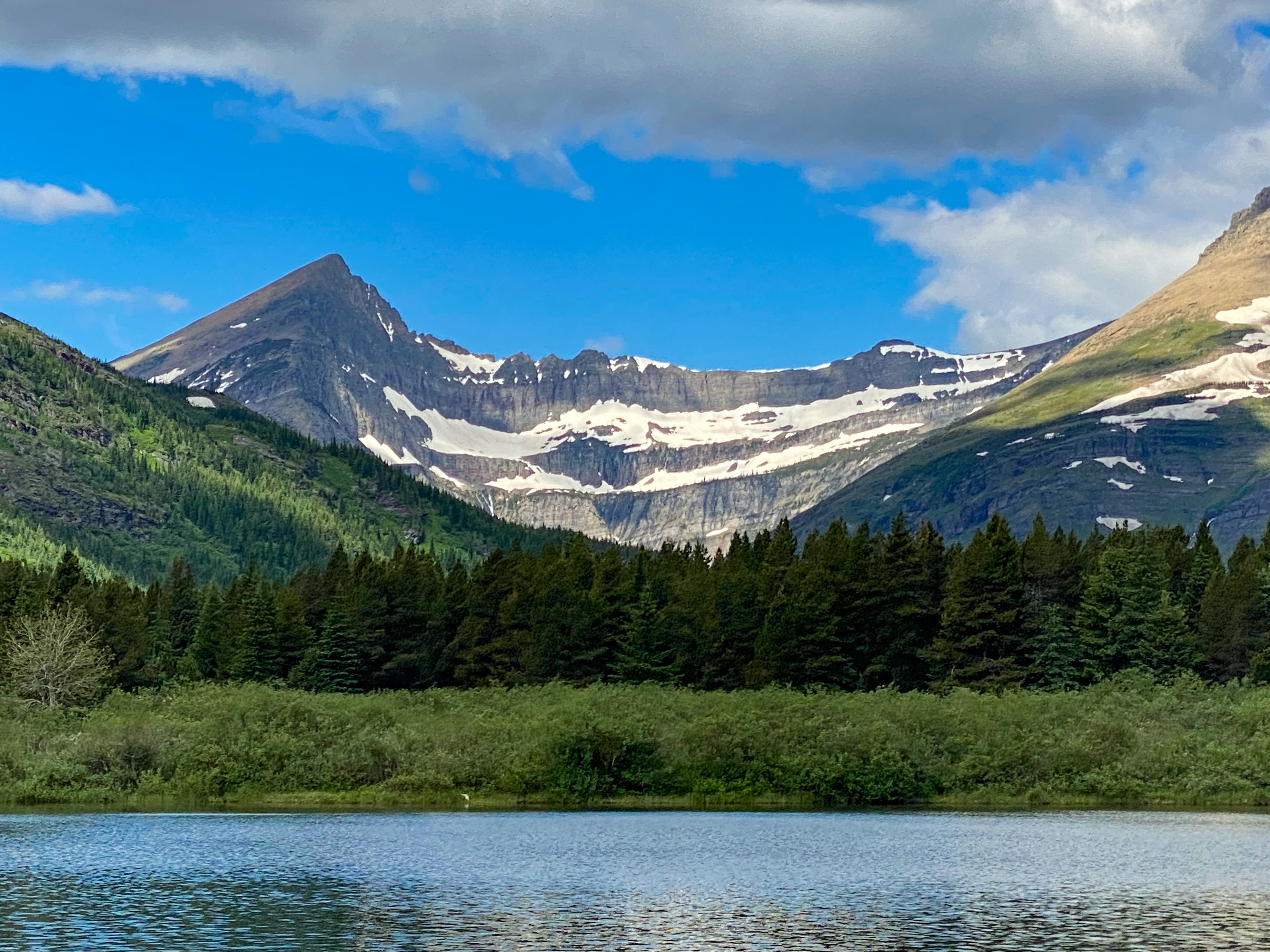
Swiftcurrent Mountain 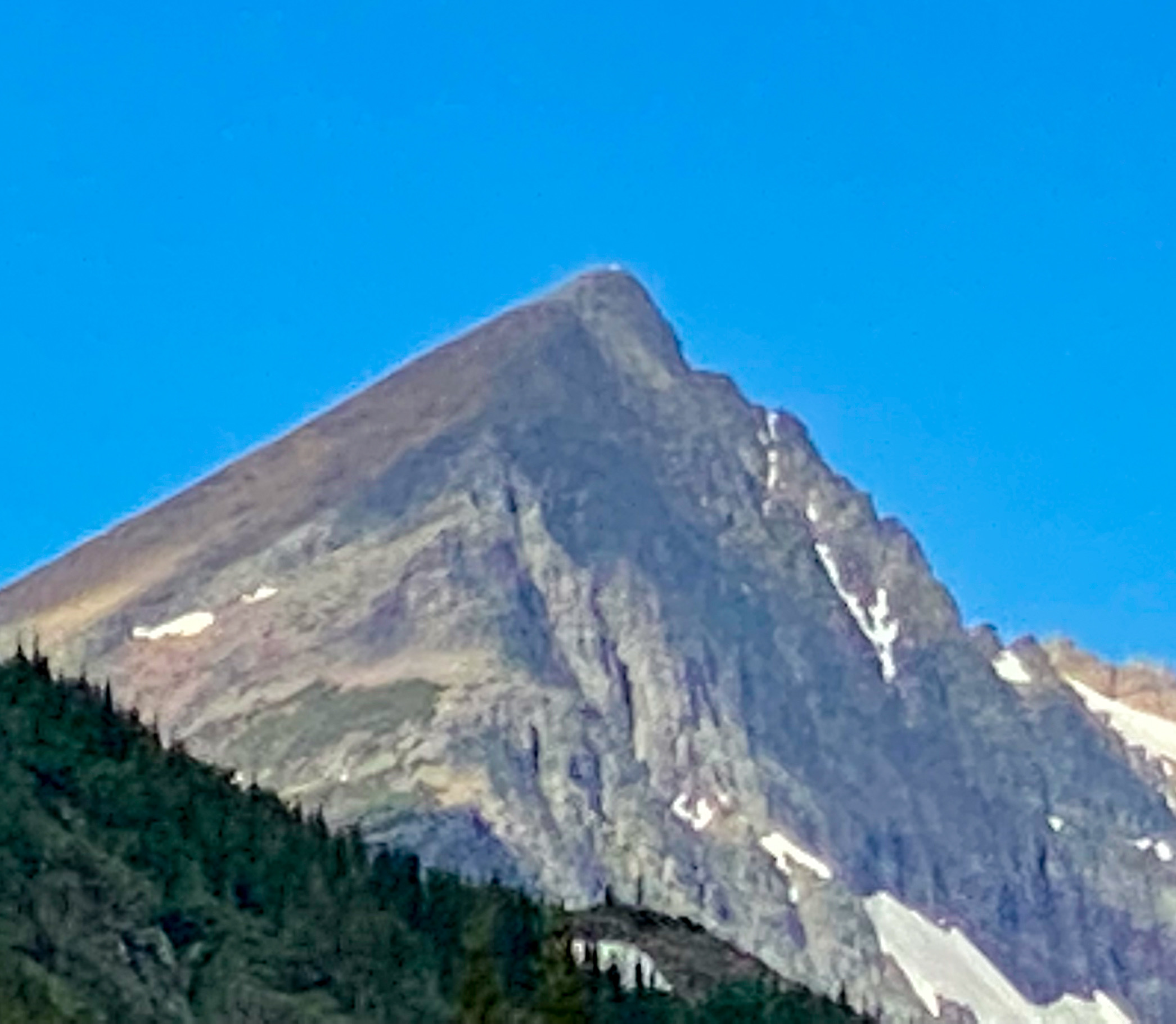
Fire lookout at peak 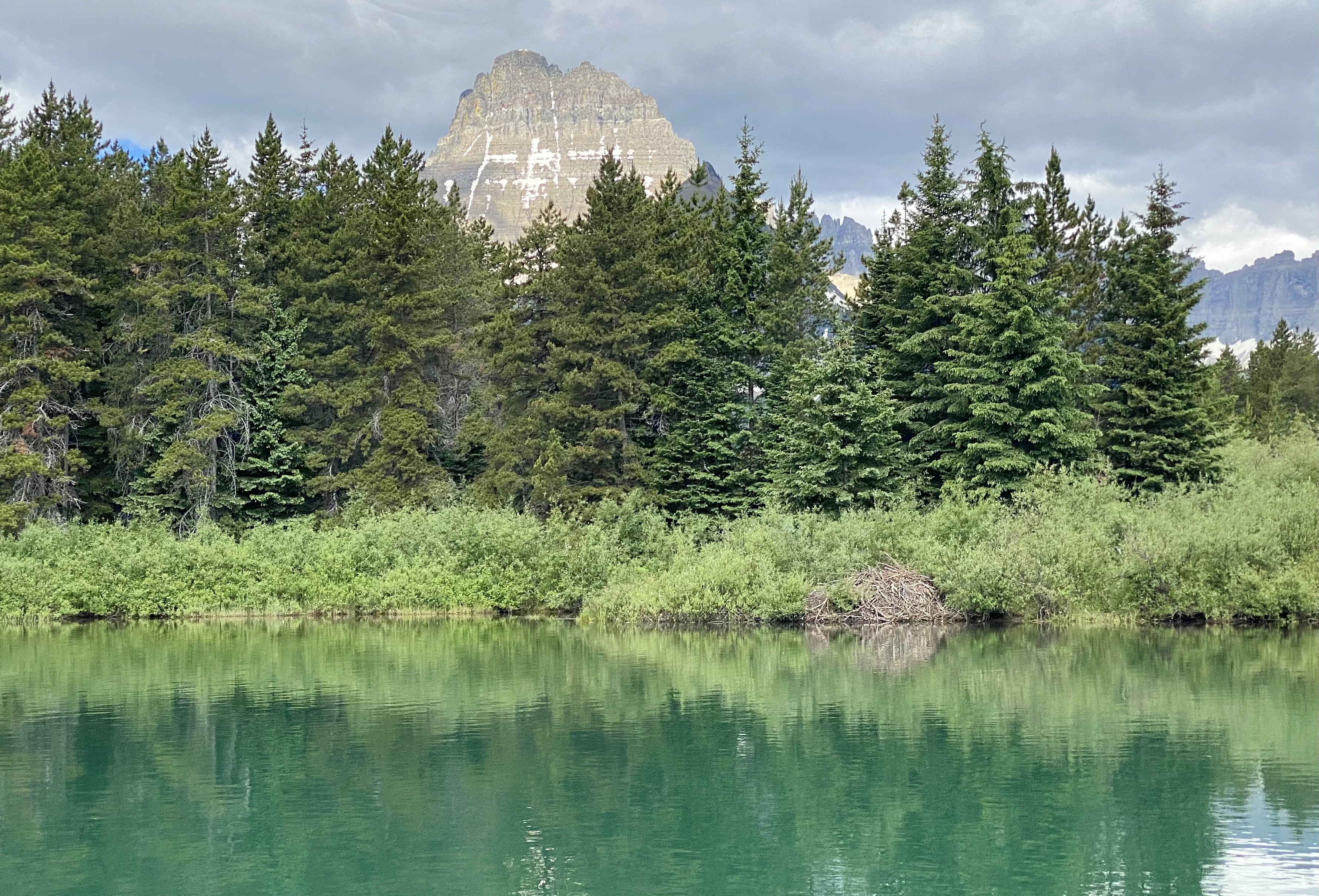
50-year-old beaver dam at the side of the lake 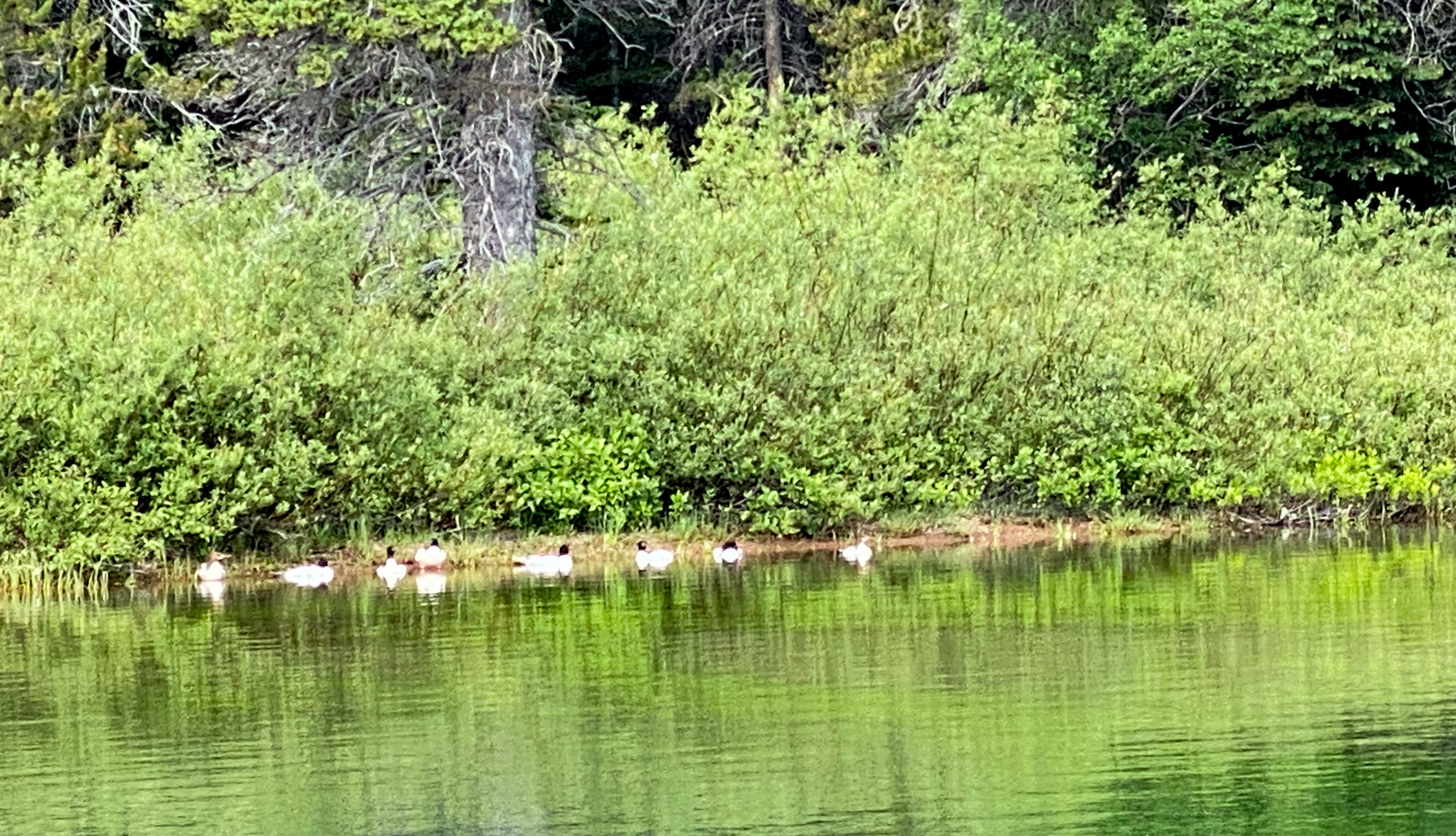
Merganser Ducks out hunting for their lunch 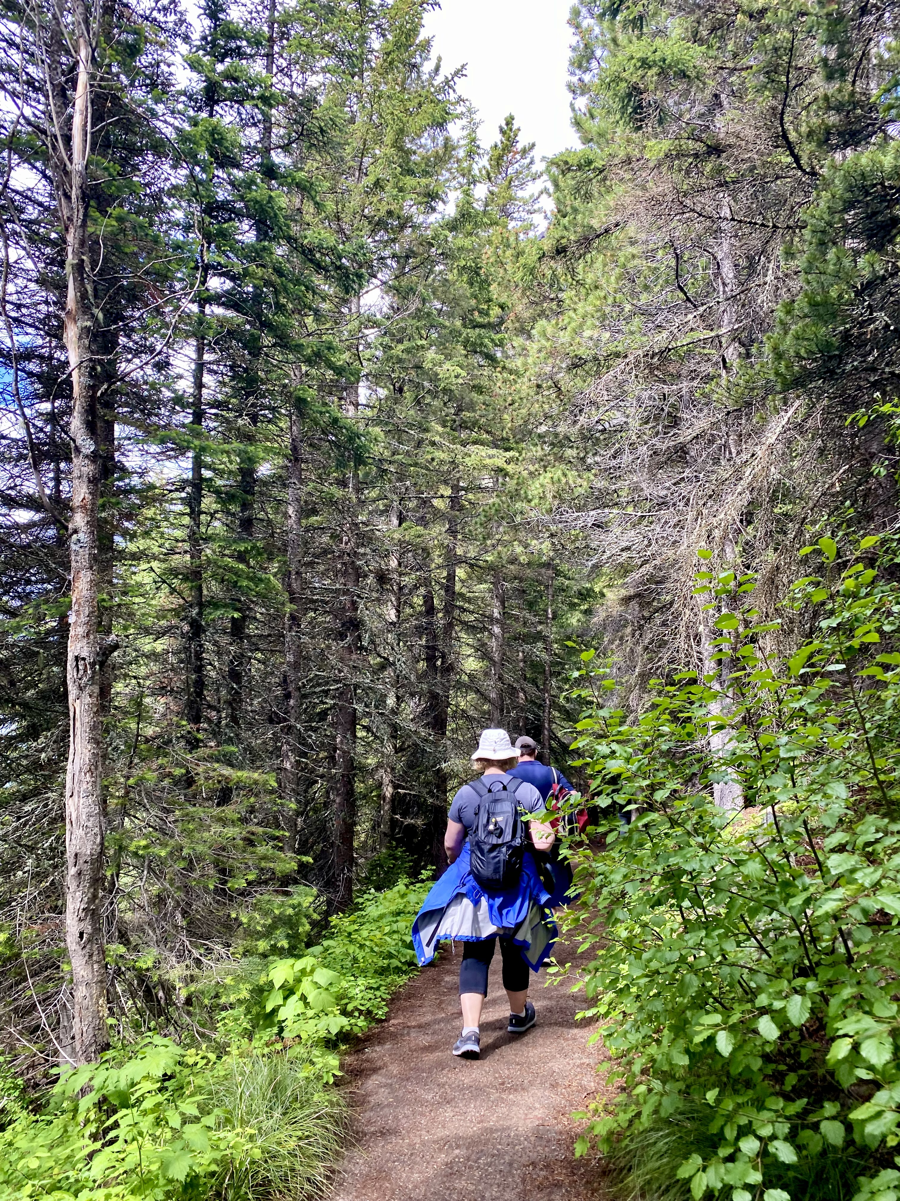
Trail between the two lakes 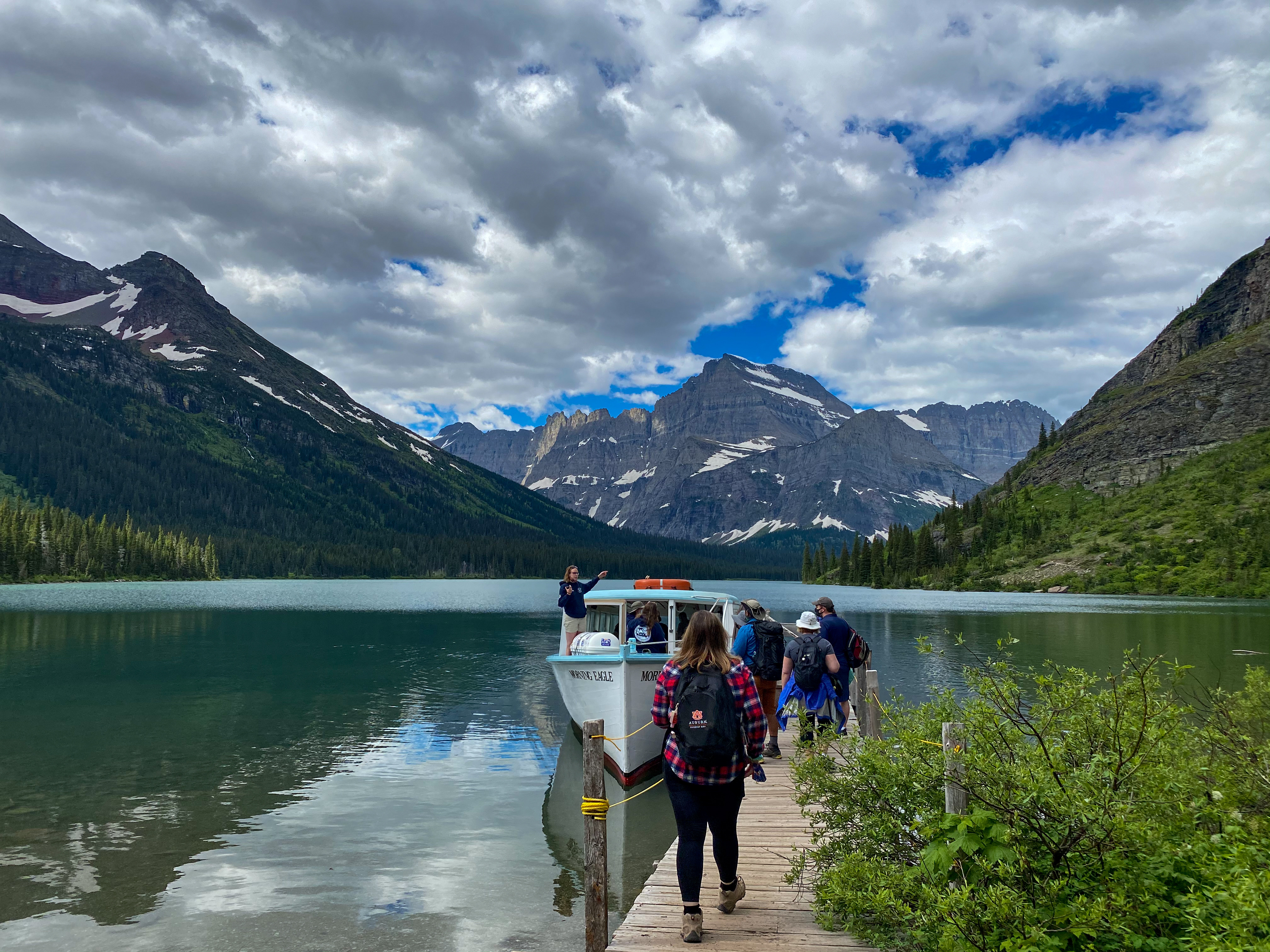
Lake Josephine 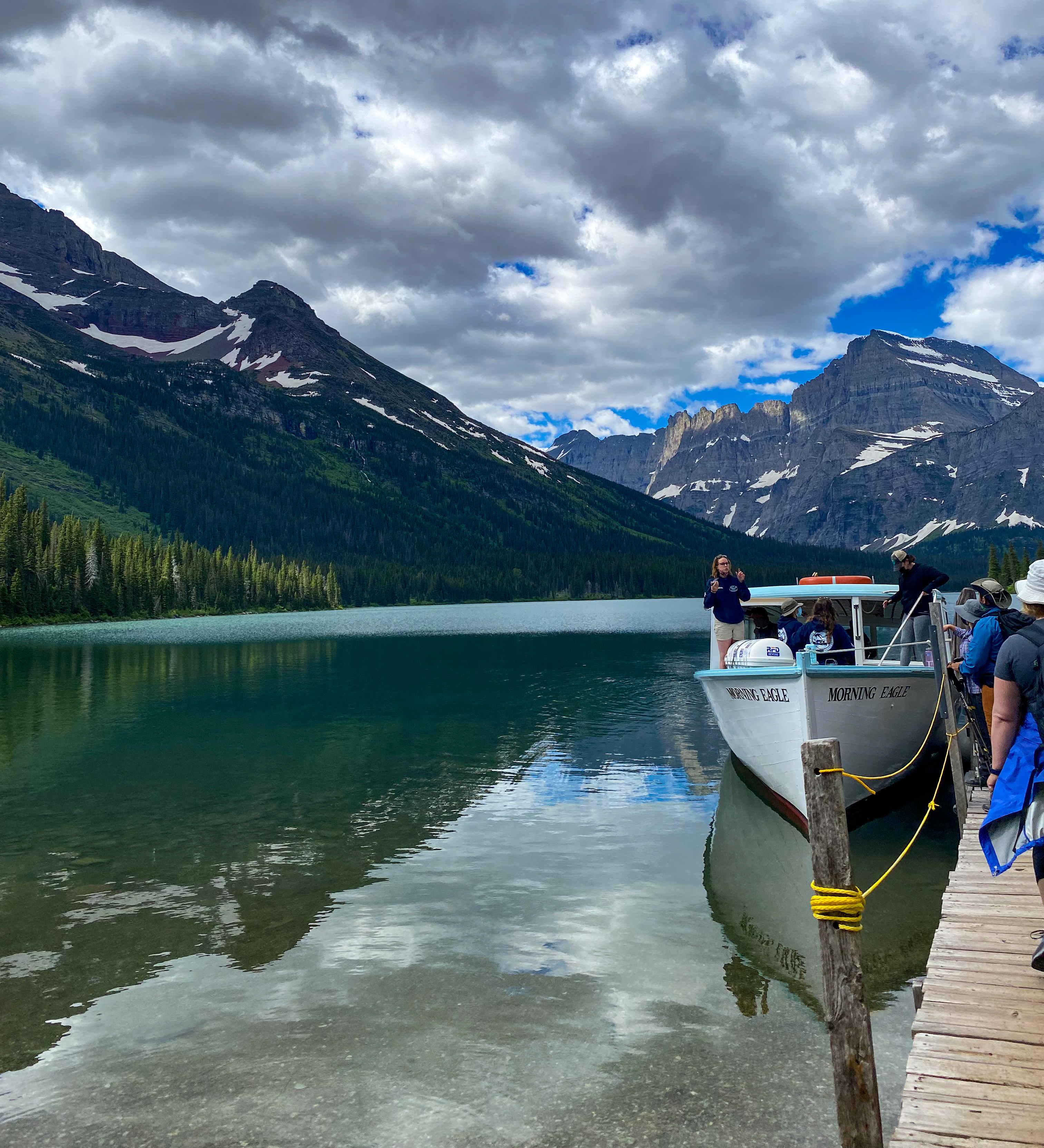
Boarding the Morning Eagle 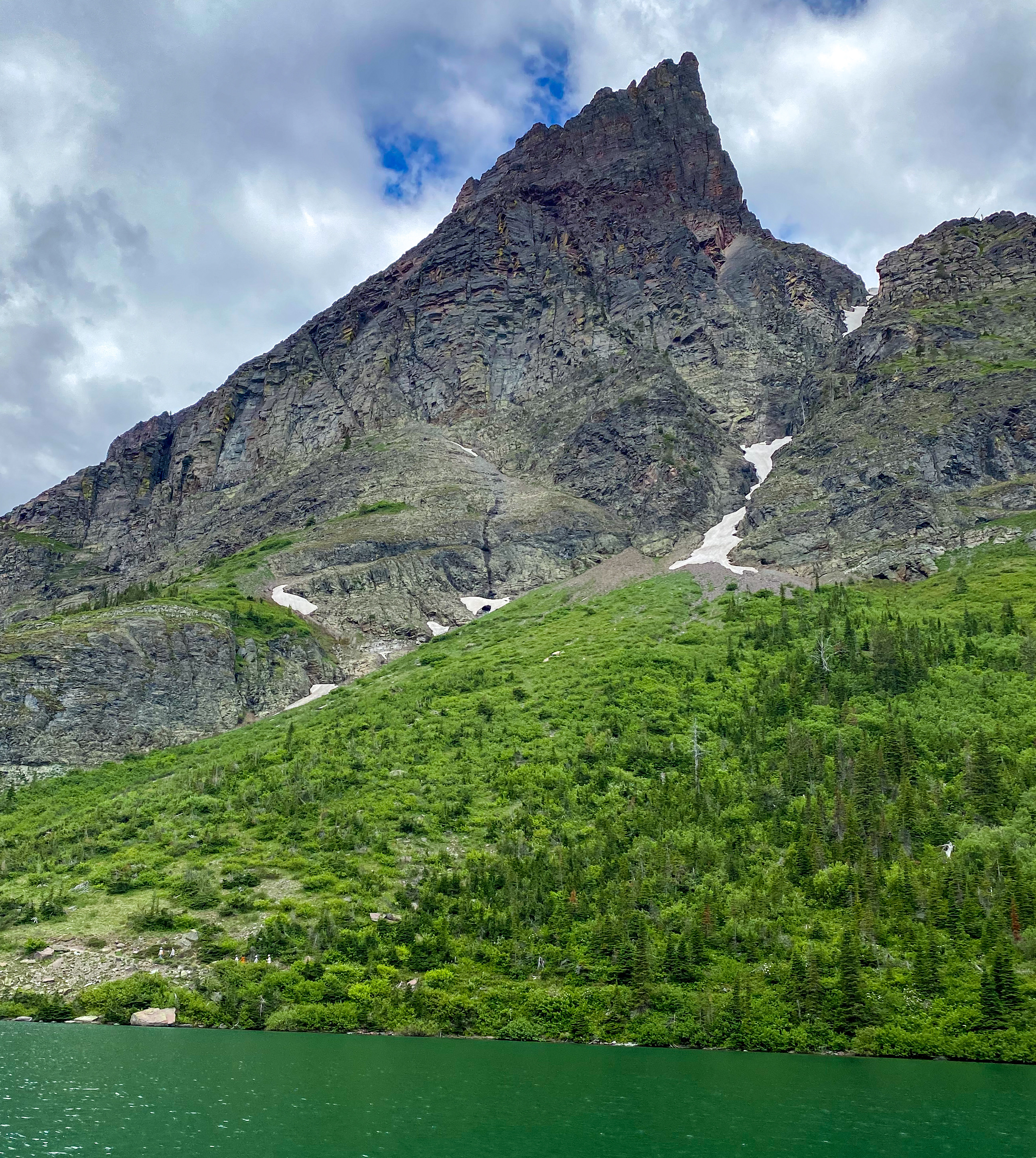
Avalanche Chute 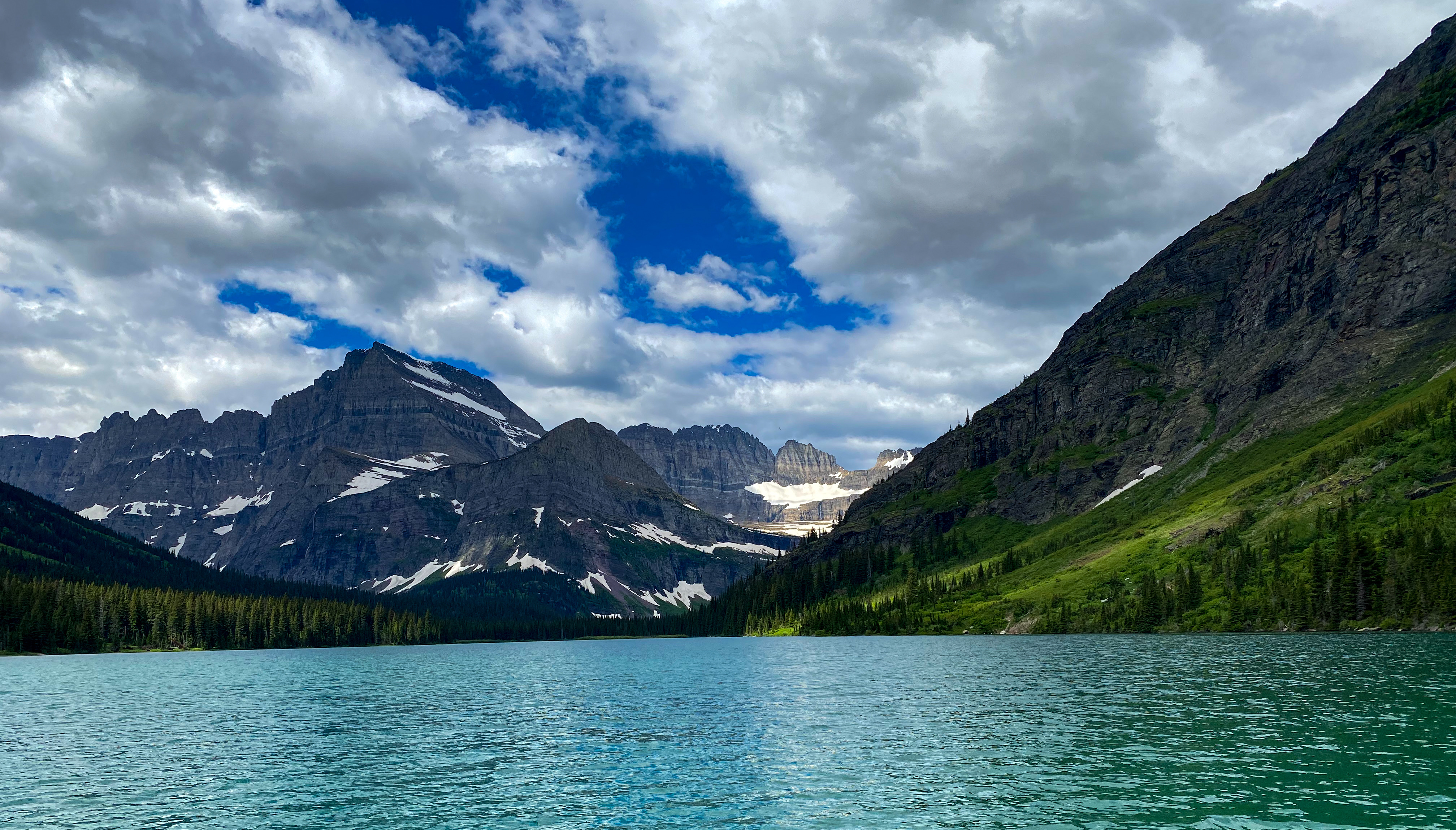
Angel Wing 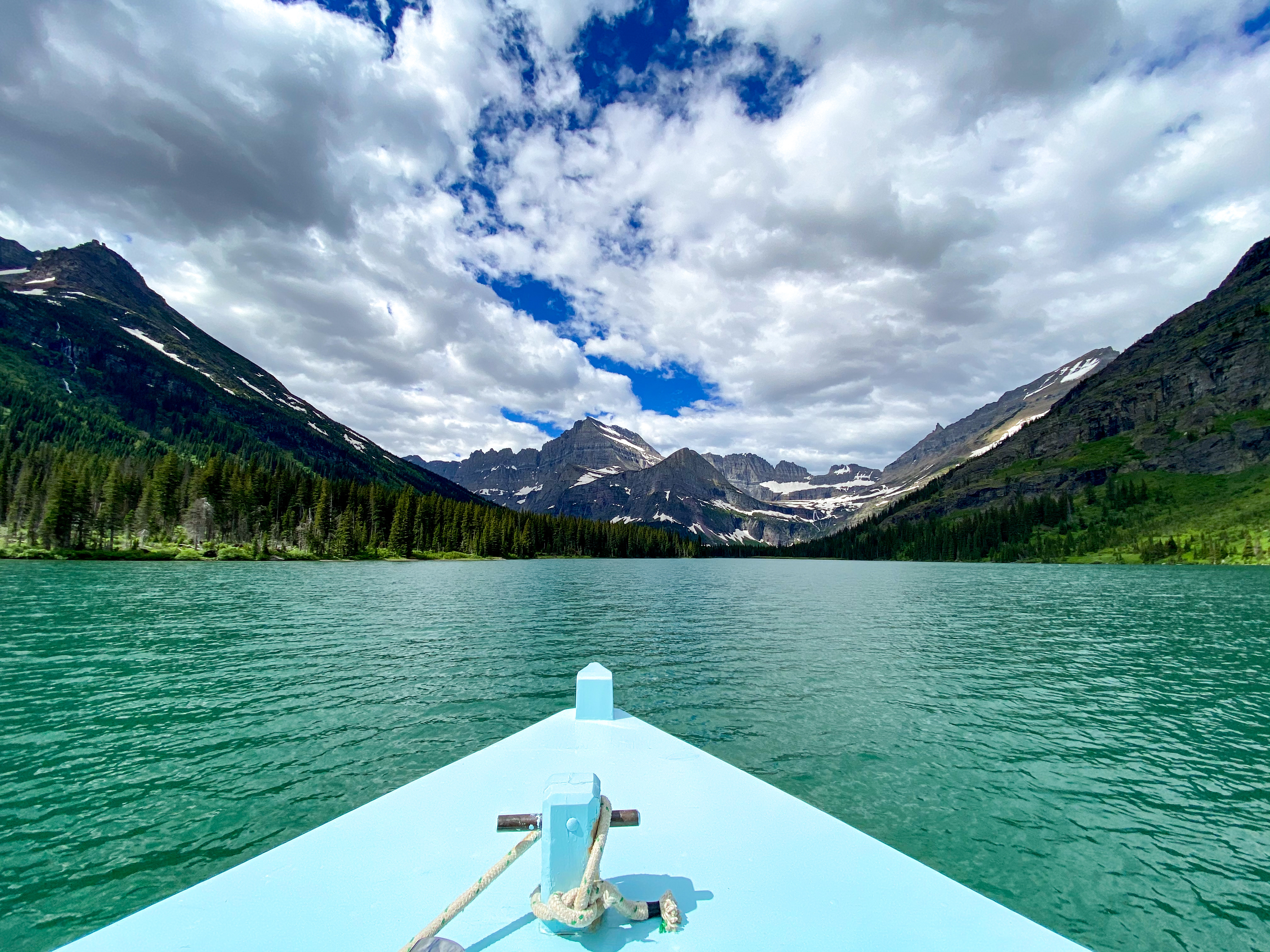
View of Angel Wing from the front of the boat 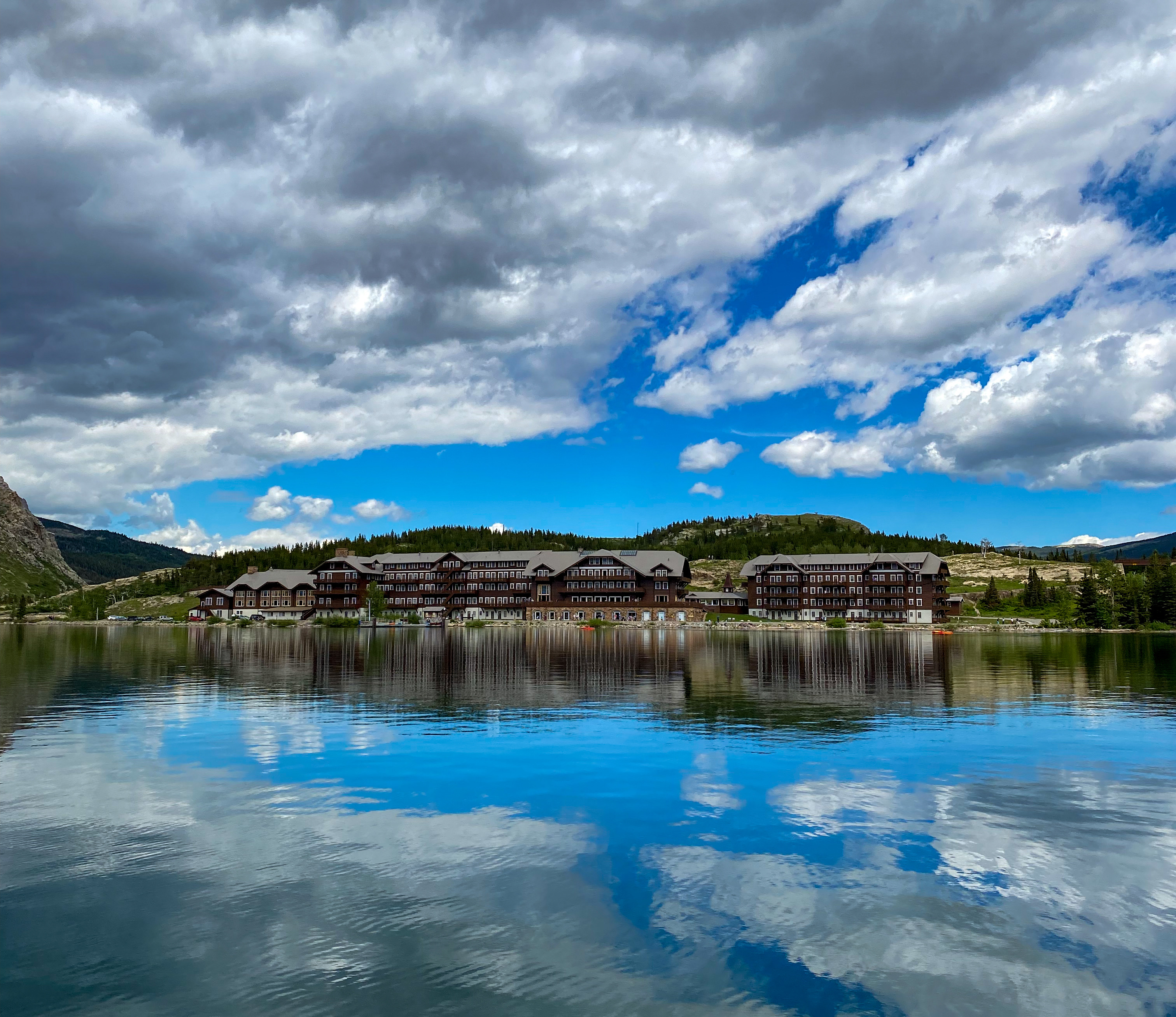
Mirror image of Many Glacier Hotel on the lake on the way back
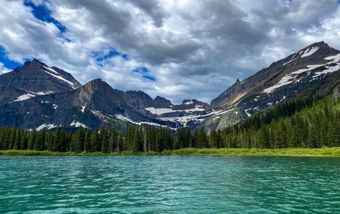
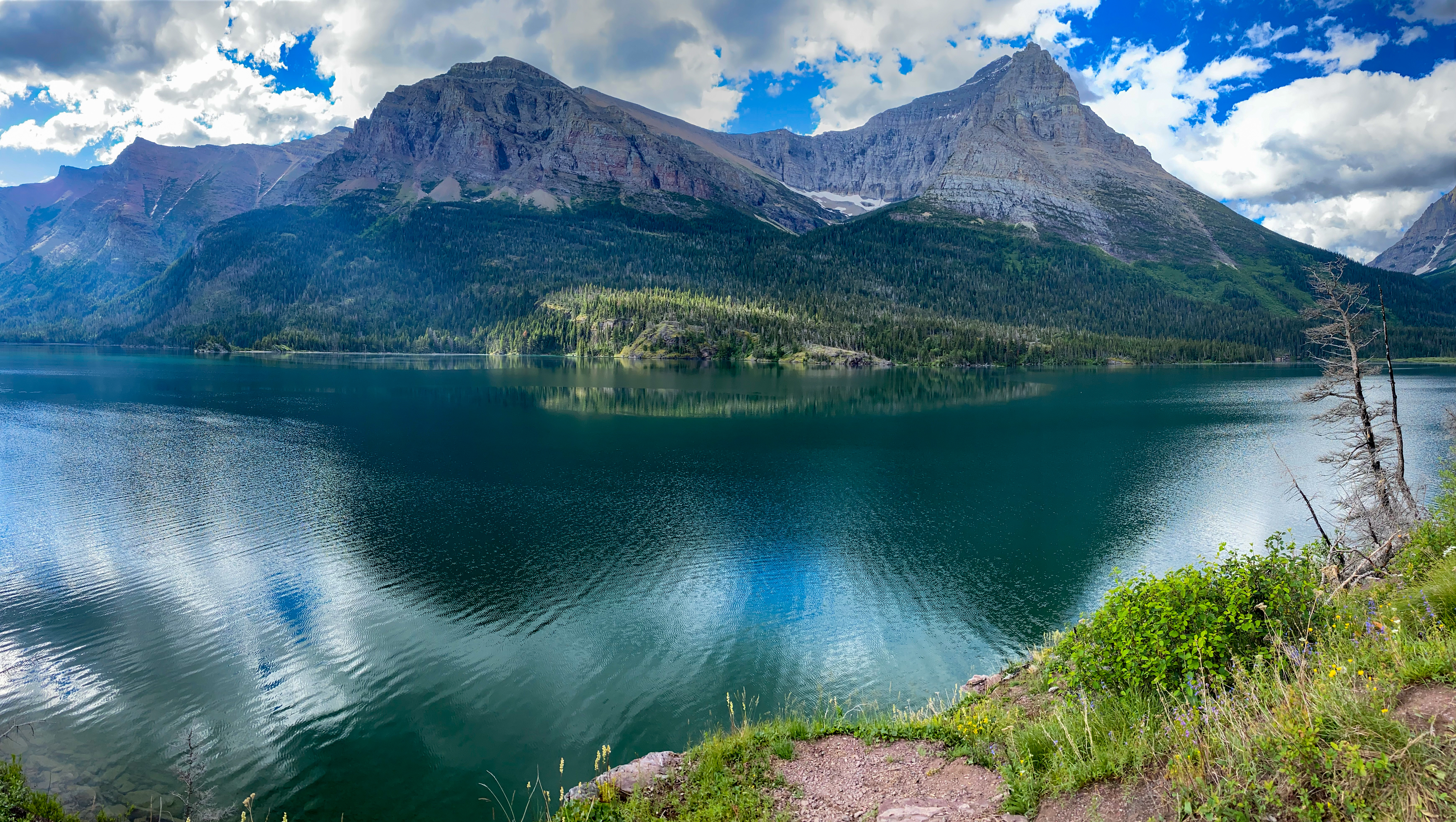
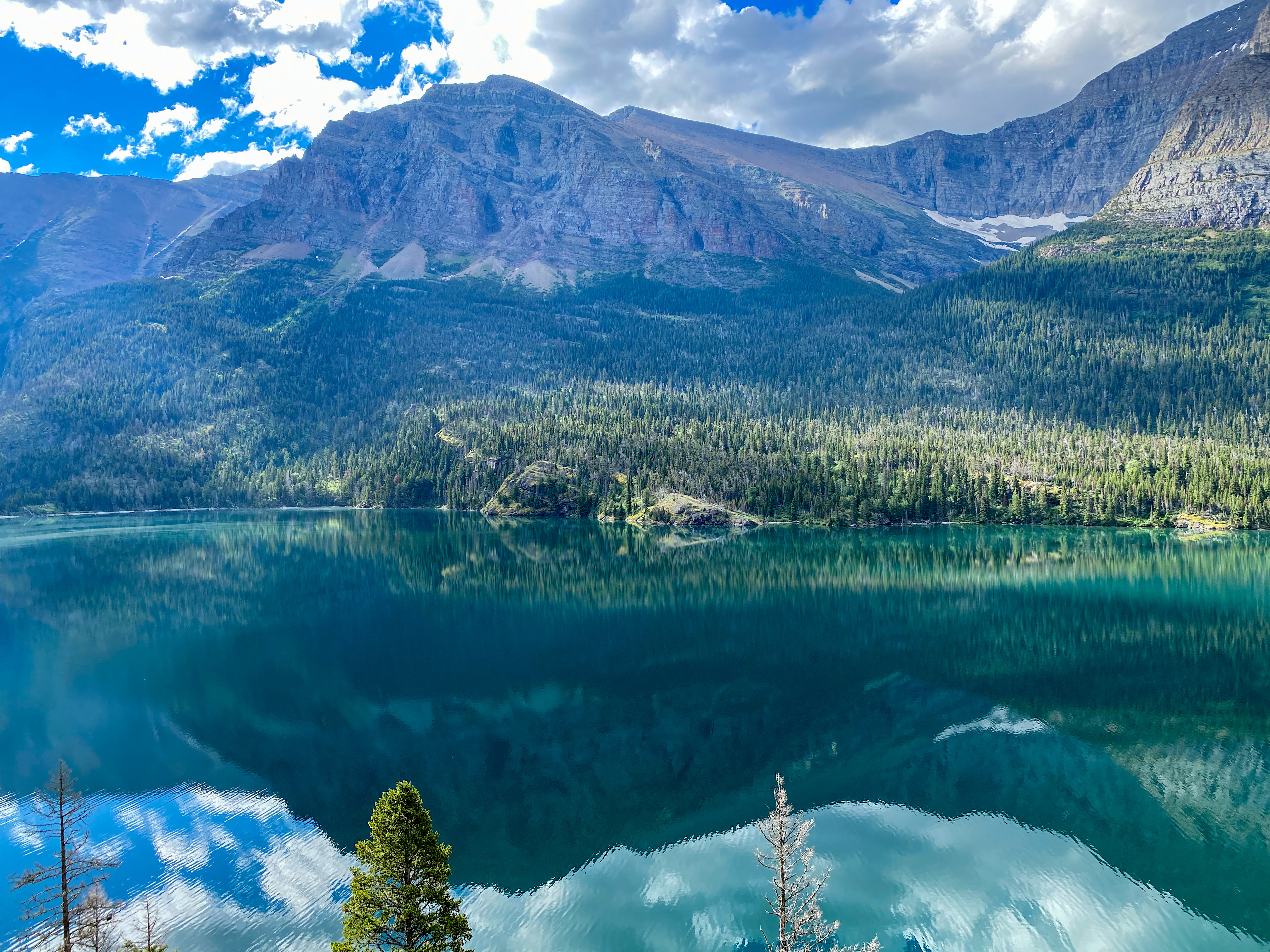
After taking in the spectacular views of surrounding mountains from the water, we made it to the dock to begin our hike. There are a couple options from the dock – you can hike right up to Grinnell Lake and Hidden Falls, which we were thinking about doing, but ultimately we decided to take the trail up to Grinnell Glacier as far as we could, which ended up being to an incredible overlook of Grinnell Lake.
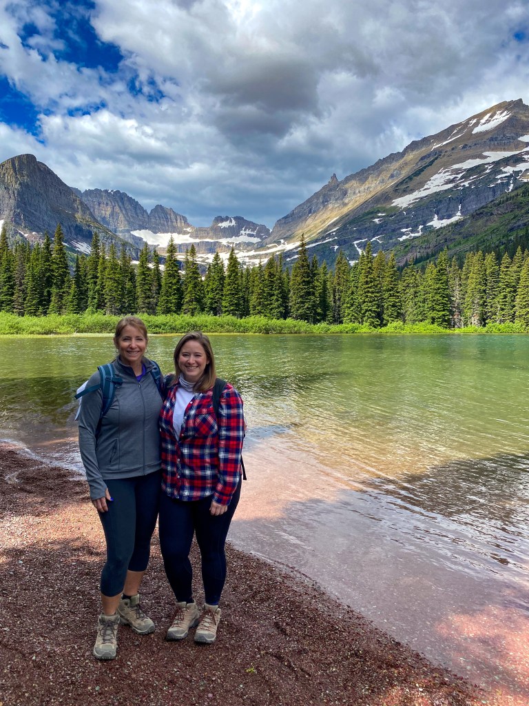
Hot off the boat about to begin our hike 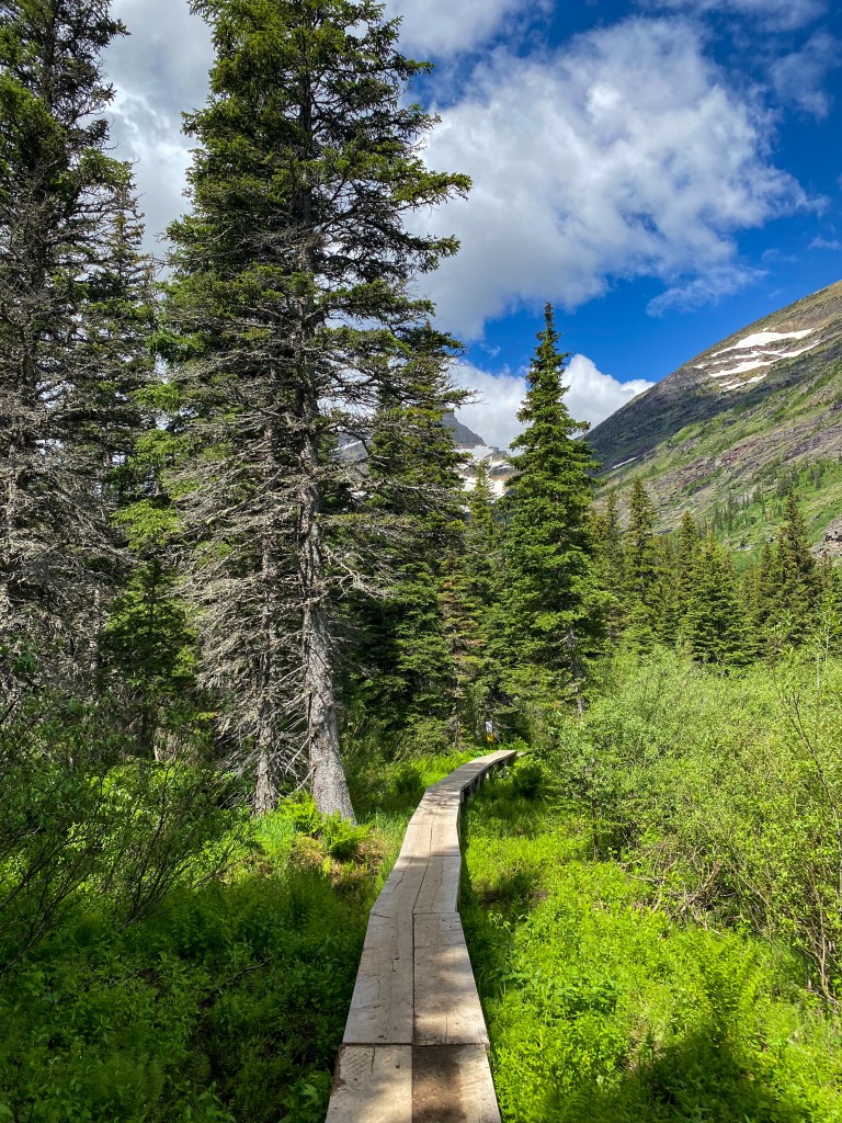
The beginning has you walking on logs above the marsh area 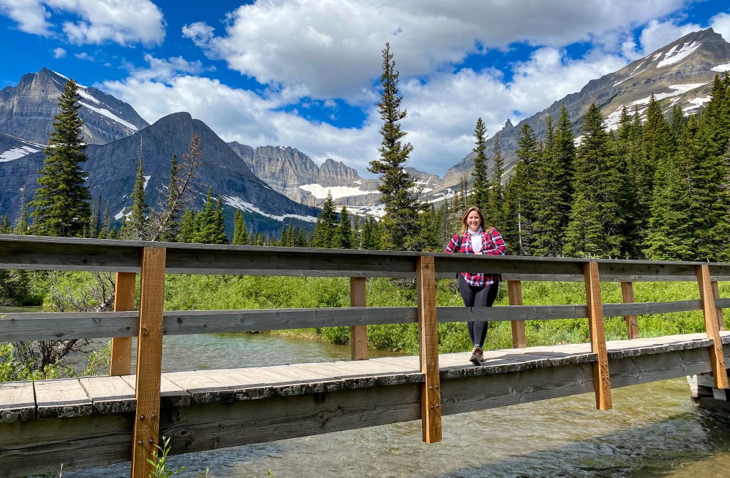
Bridge over Lake Josephine tributary 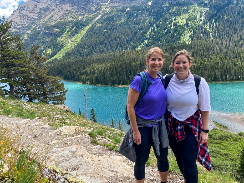
Look back at Lake Josephine 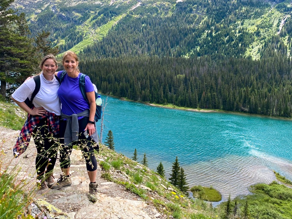
Look back take #2 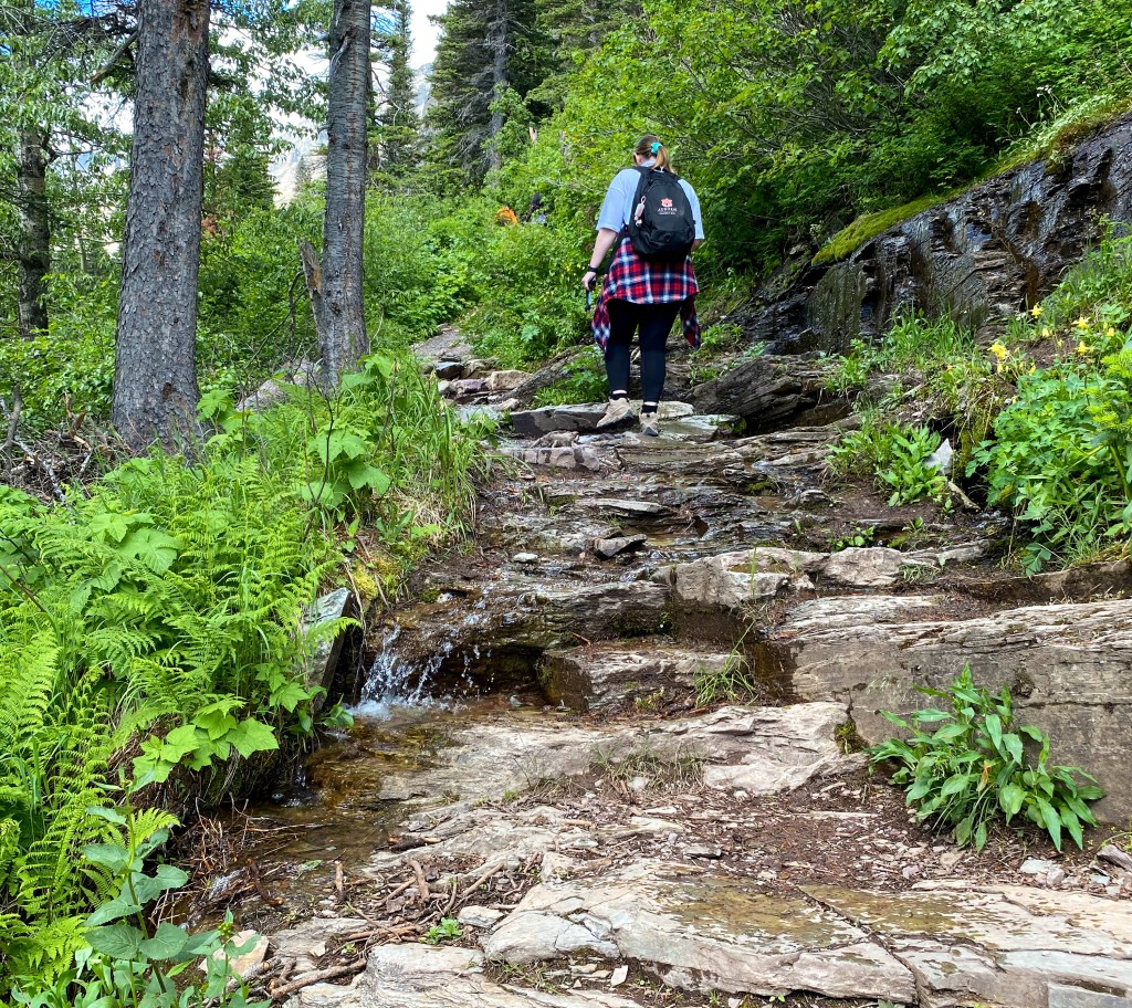
Hiking up to the Grinnell Lake Overlook 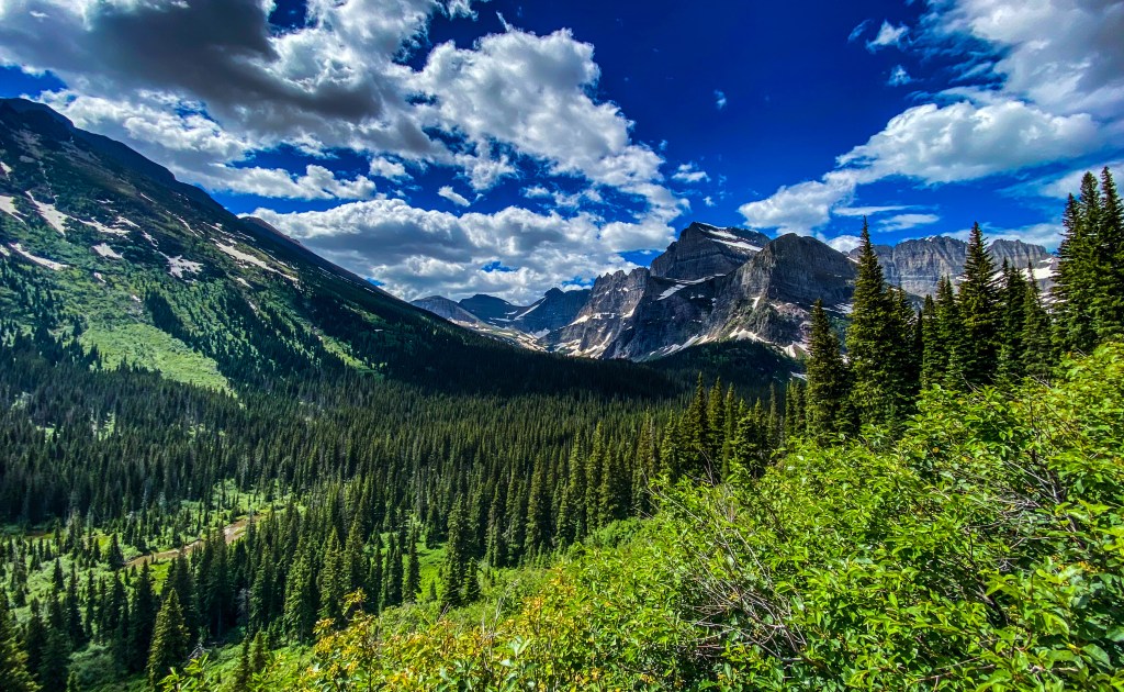
Taking in the amazing views of the wildflowers, forests, and mountains 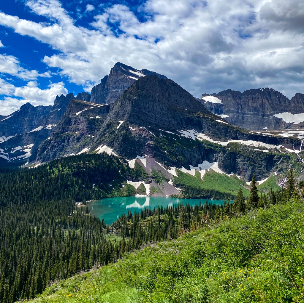
Our first look at Grinnell Lake! 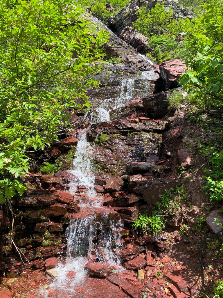
Trail-side waterfall from snow melt 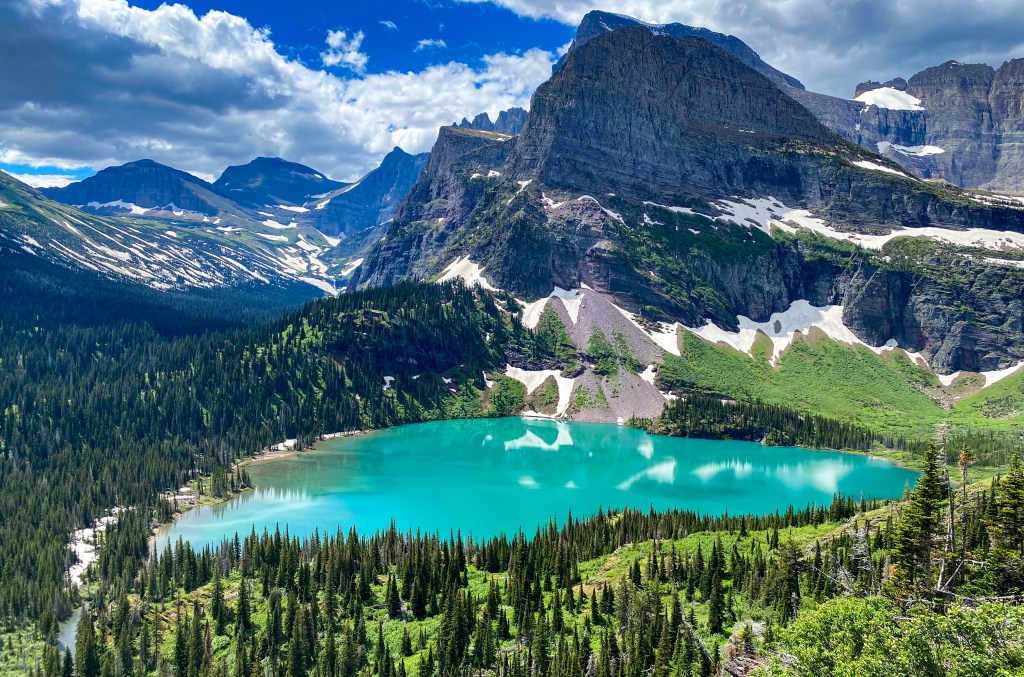
Grinnell Lake! 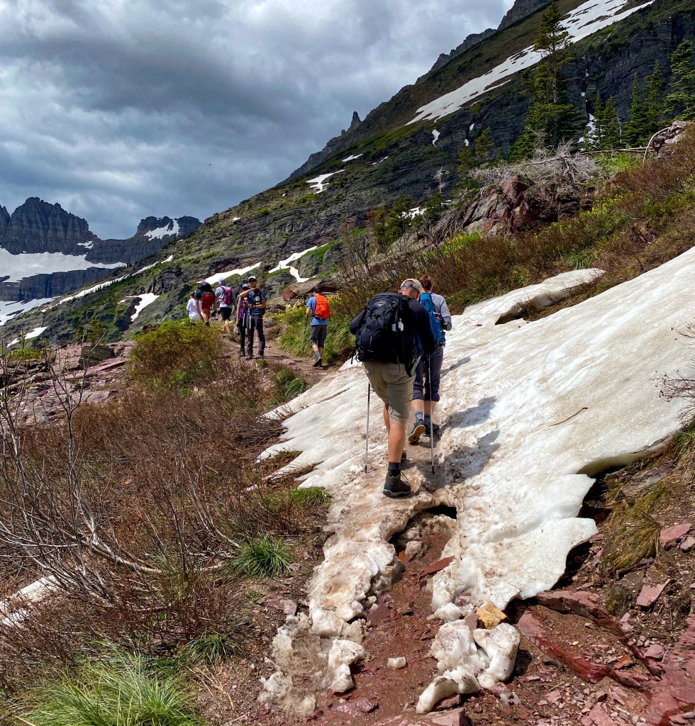
Crossing some of the snow still on the trail 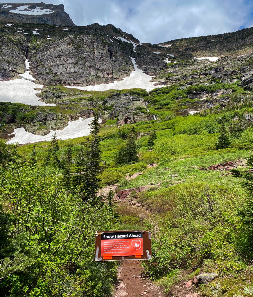
The rest of the trail is closed due to snow hazard 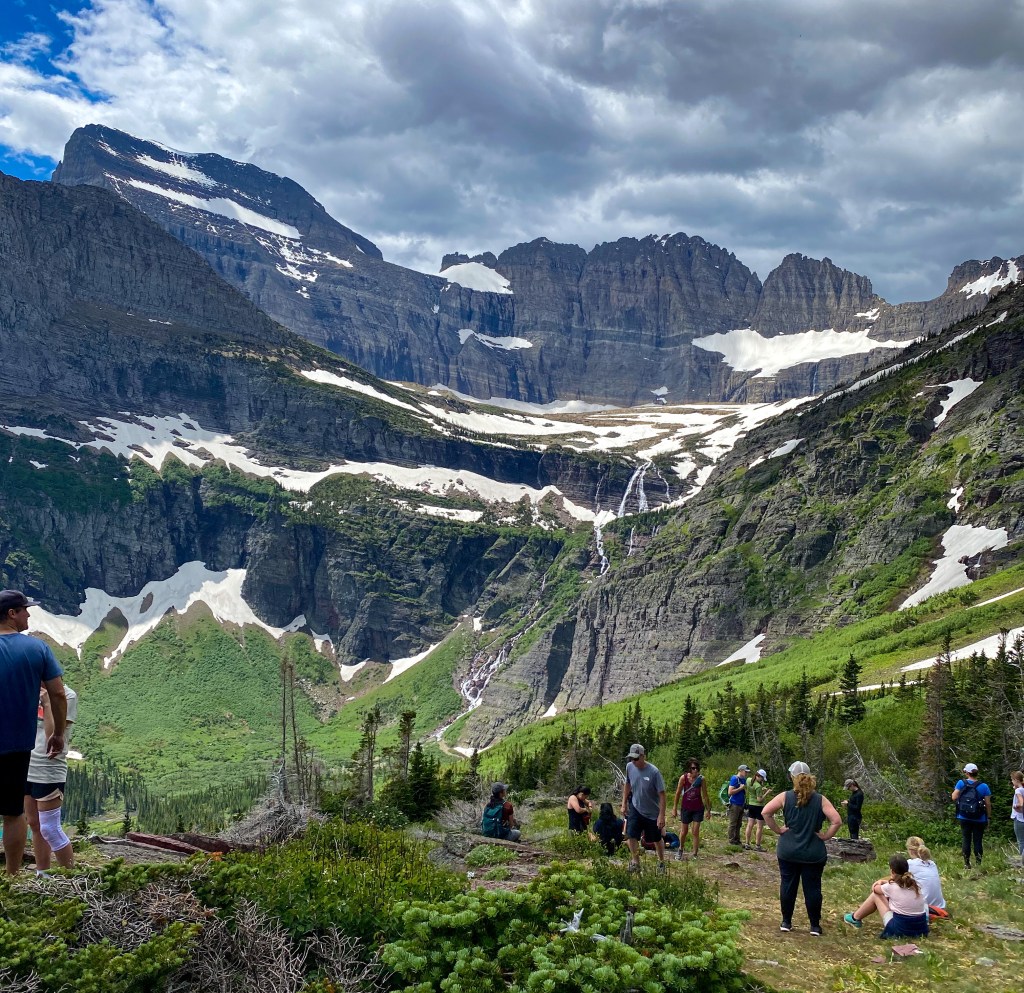
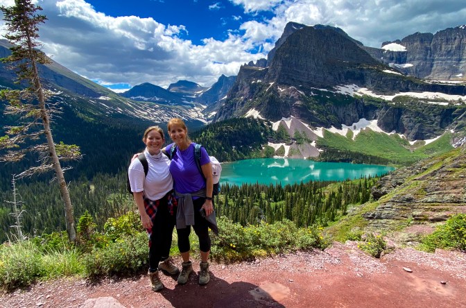
The opening at the end of the trail – nice place to relax and eat lunch 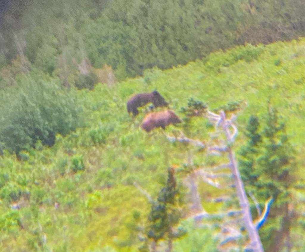
Two bears on the other side of the valley 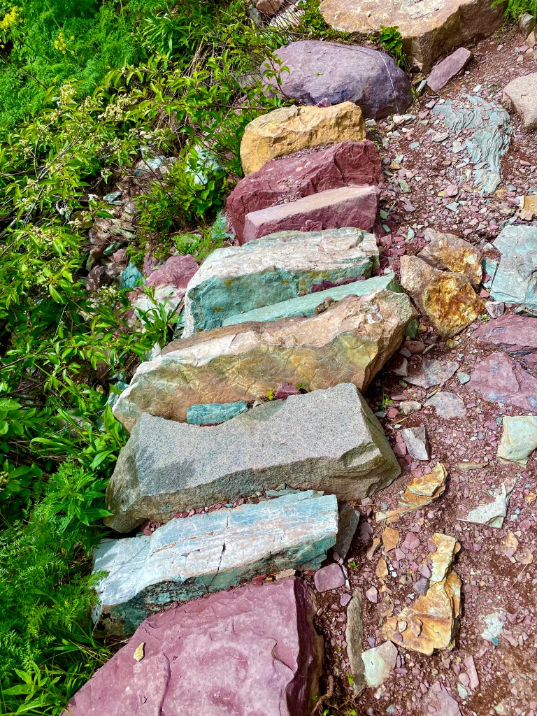
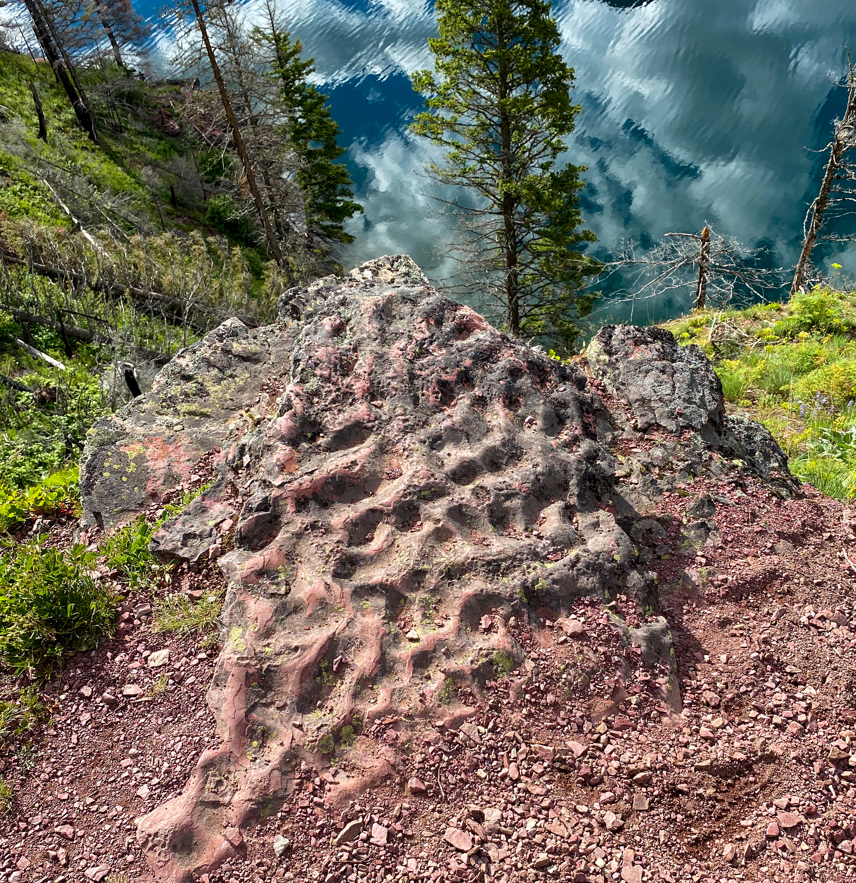
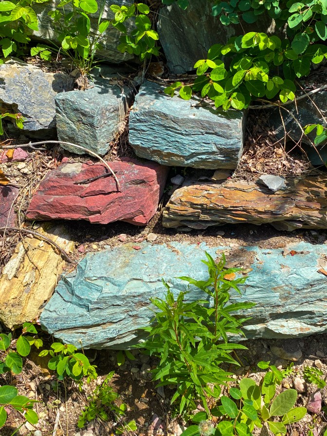
The insanely colored rocks all along the trail
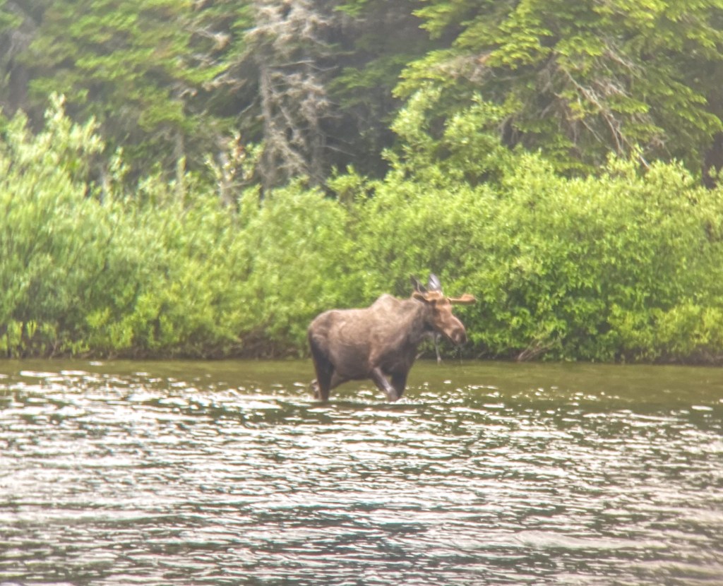
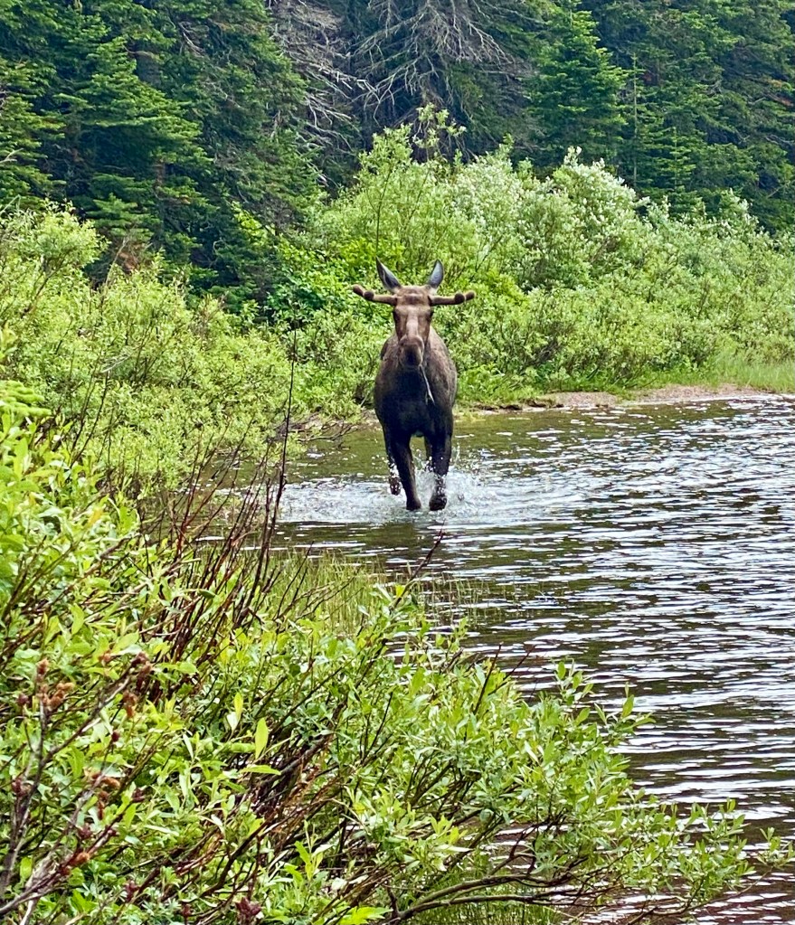
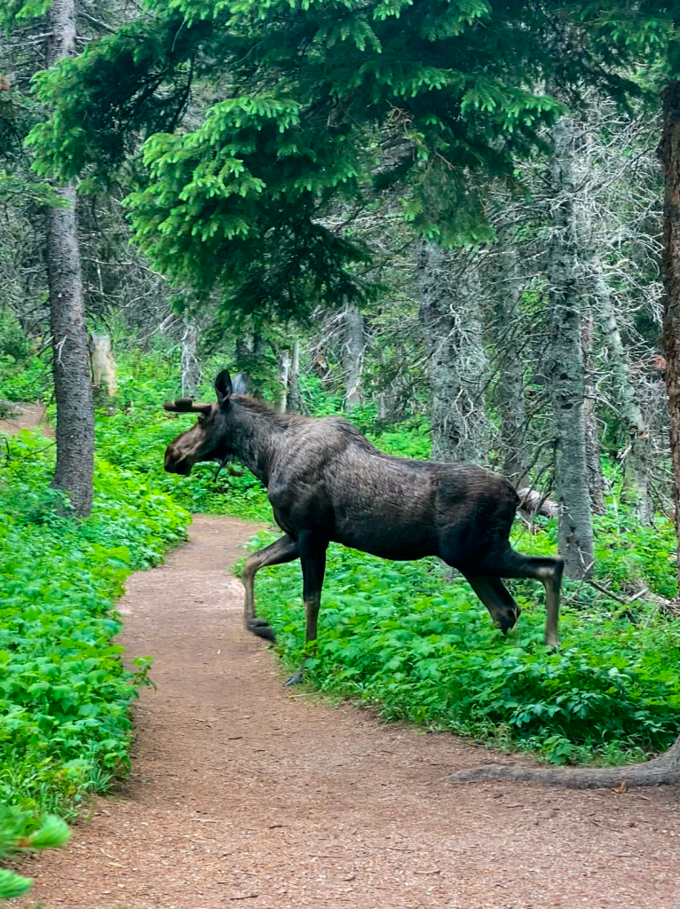
While waiting for the boat to come back after our hike, the thing we’d been waiting to see our entire trip finally made an appearance – A MOOSE! We were able to watch this guy bathe in the mossy shallows of the lake and walk all the way over to us, crossing the trail right in front of us – it was absolutely insane!!
We decided to take it easy that night and stopped by our hotel’s lounge – Mountain Bar – for happy hour. Keeping with the huckleberry theme, I tried the drink of the day: Huckleberry Mule. It was delicious! Huckleberries are pretty much superior blueberries, so it’s just the right amount of sweetness and freshness.
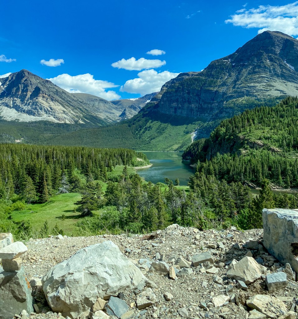
Drive back down to St. Mary 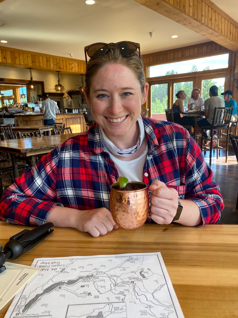
Huckleberry Mule!
We ended the night with Rising Sun Pizza and some Food Network, getting ready for our last day in the parks with the Going-to-the-Sun Road.
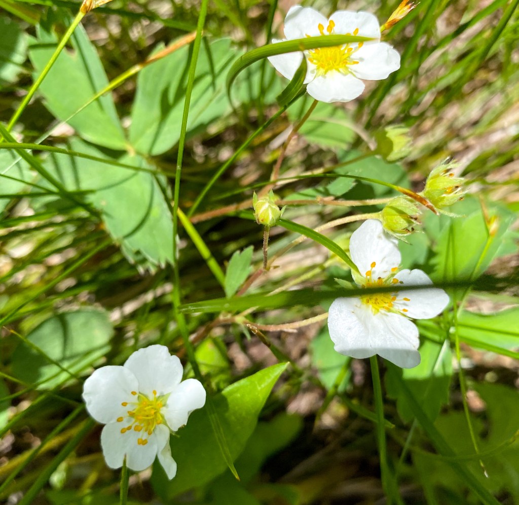
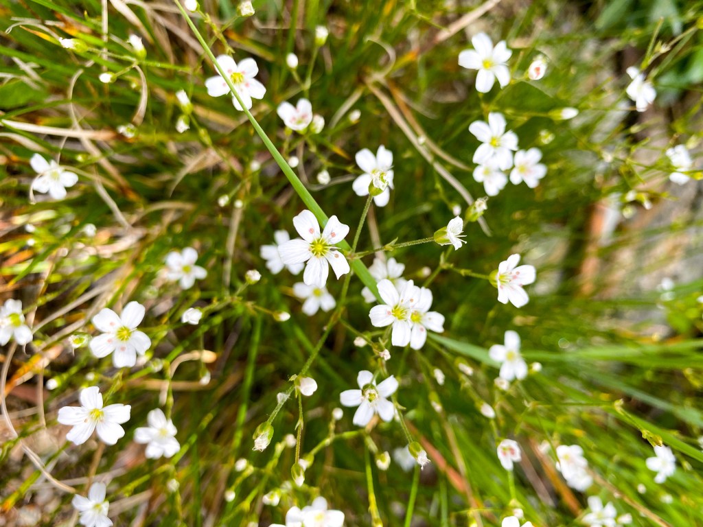
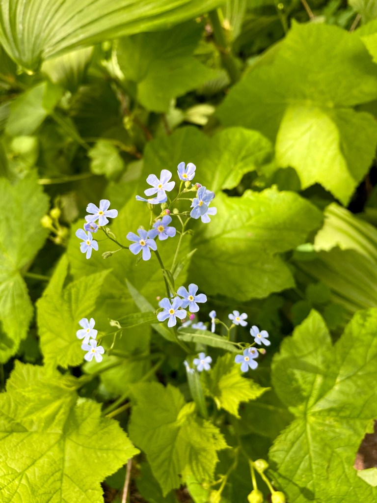
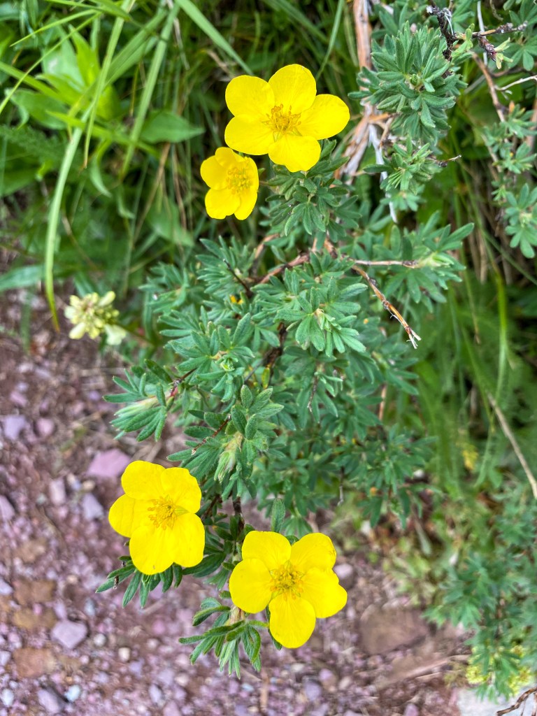
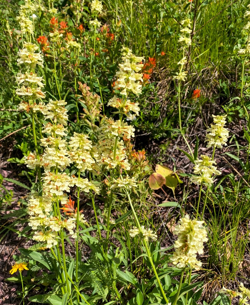
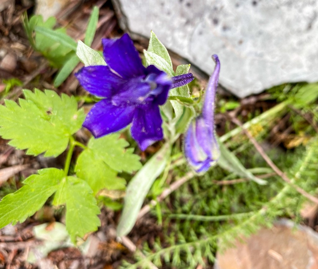
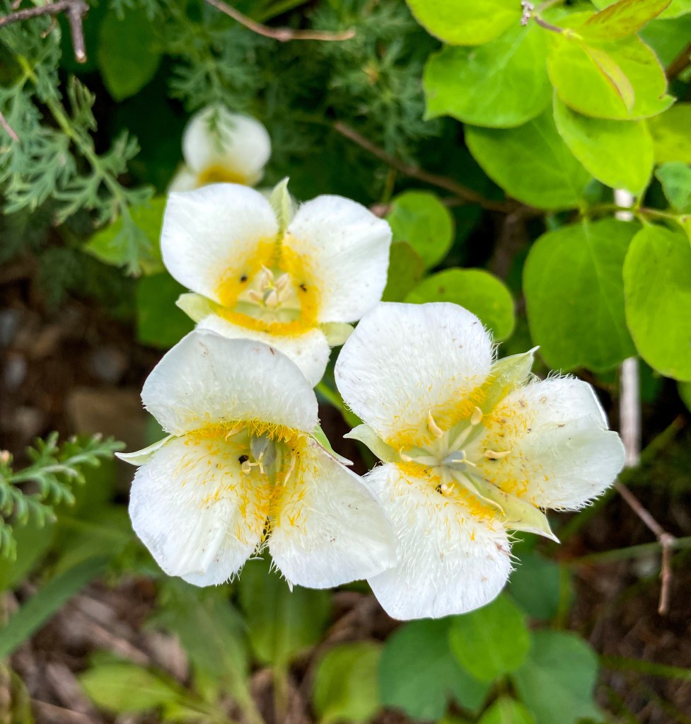
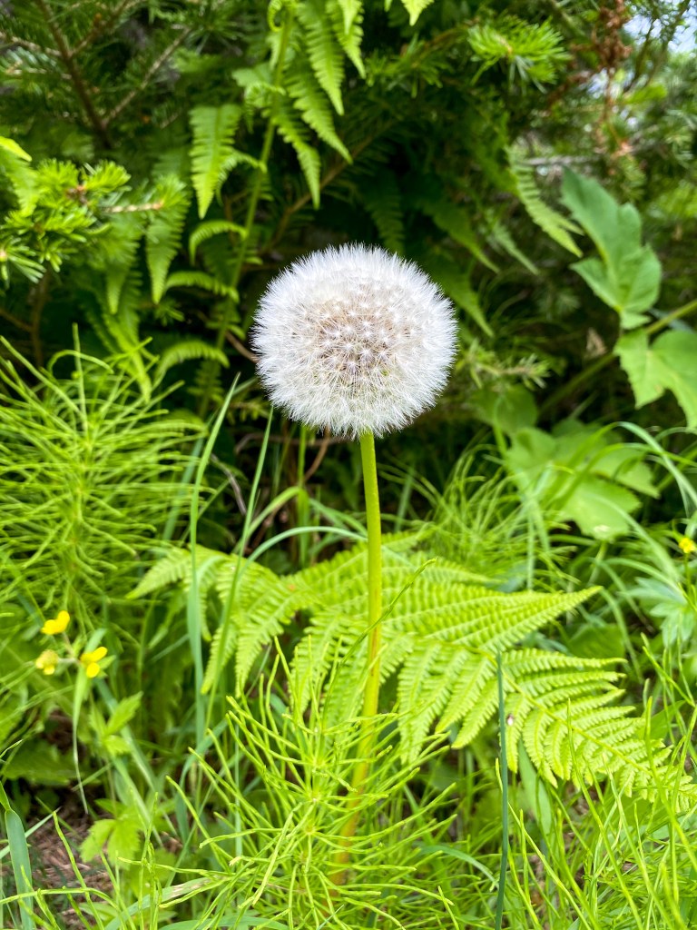
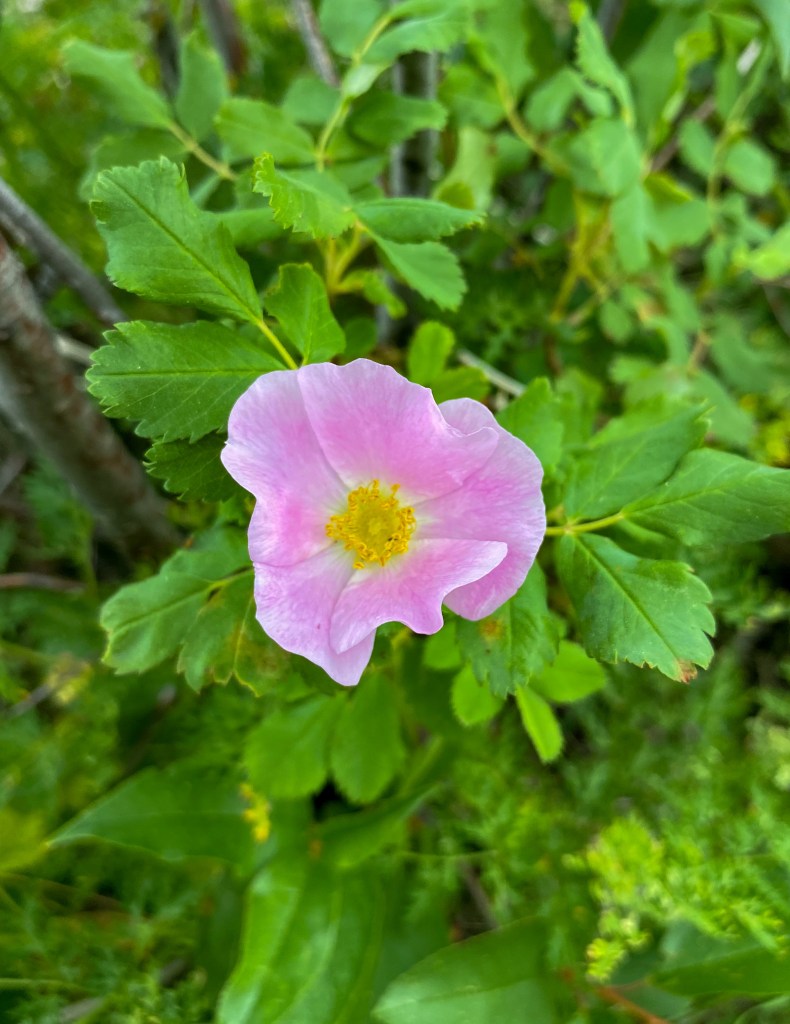
Also, how could I forget – below are all the beautiful flowers Jill captured in Glacier.
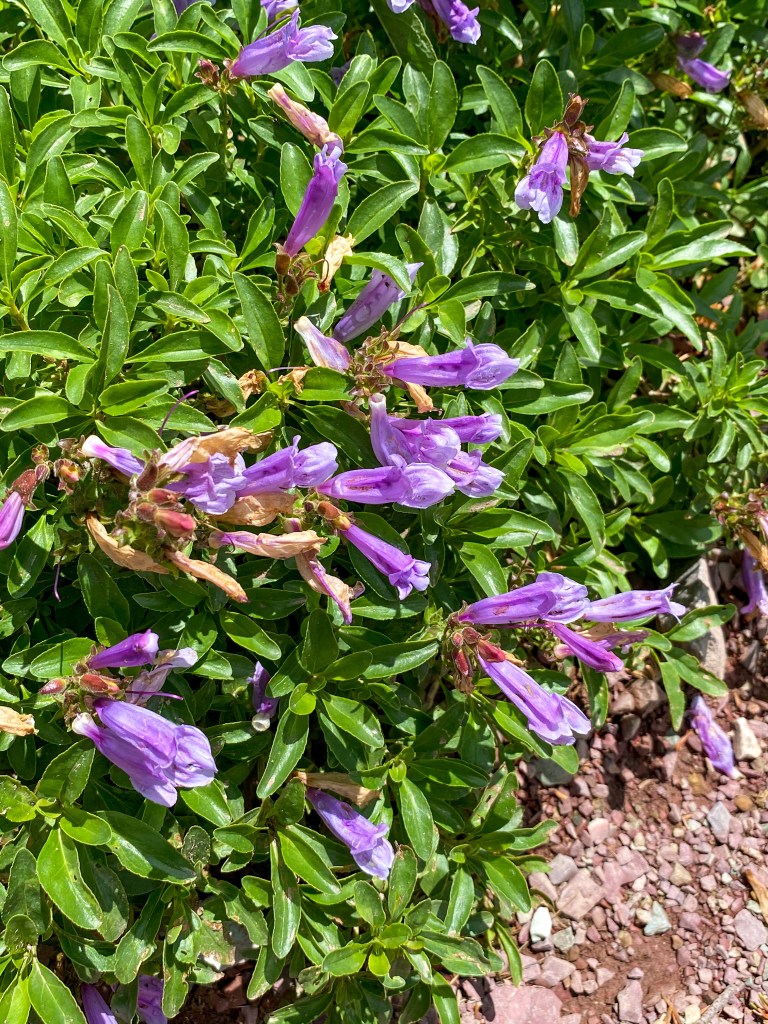
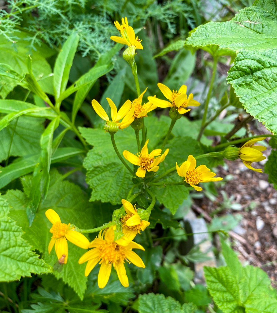
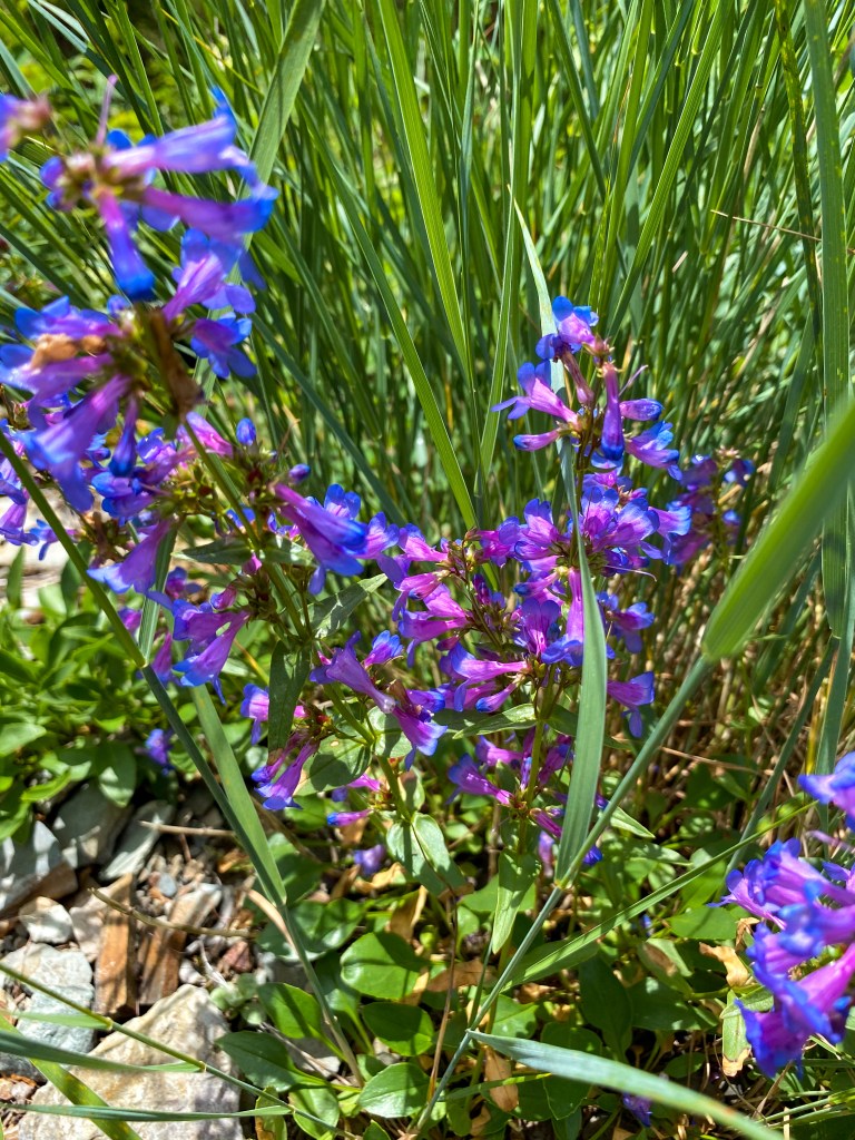
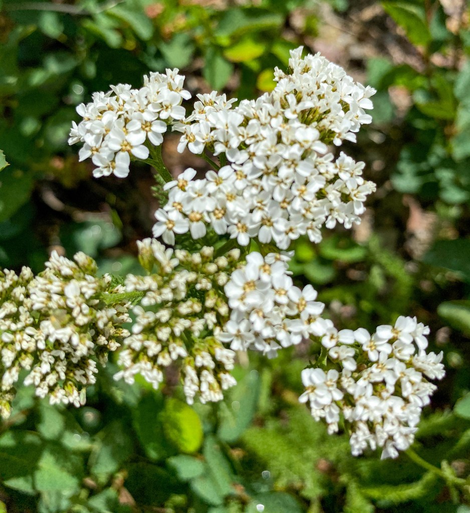
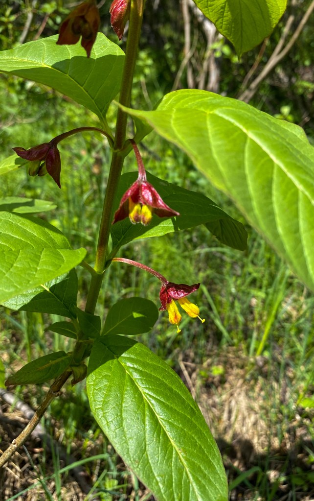
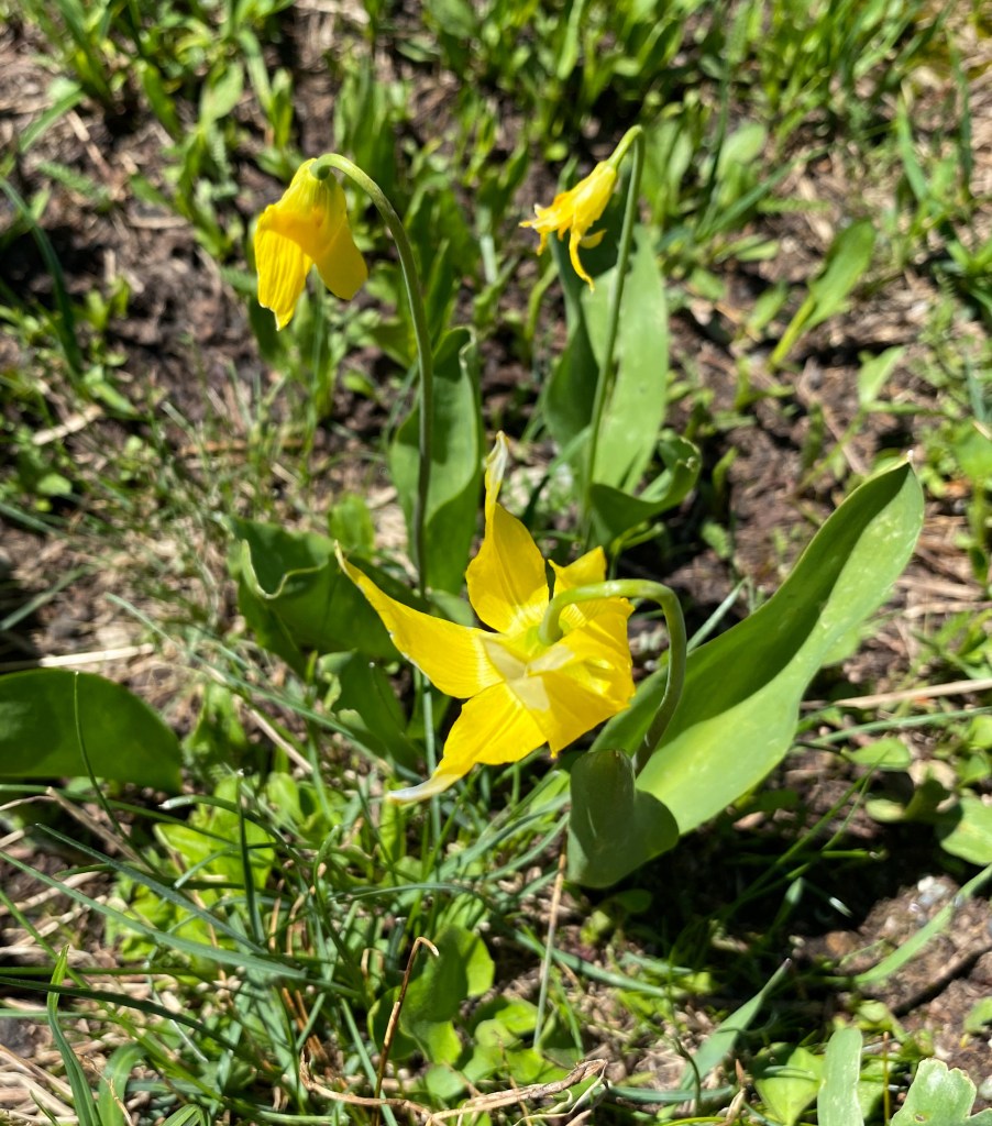
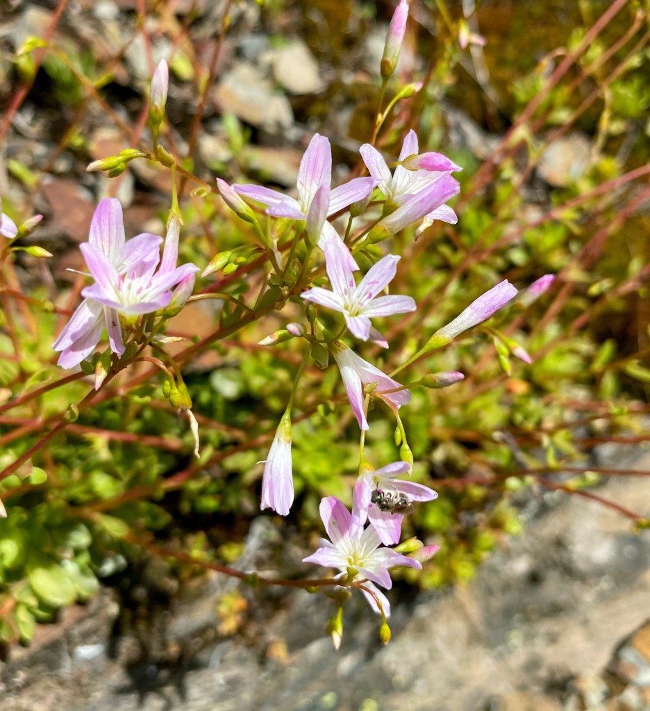
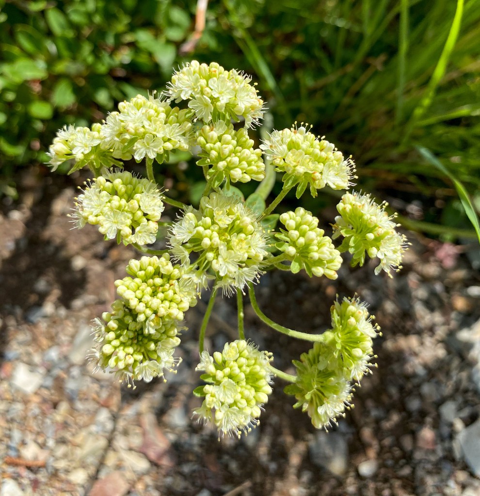
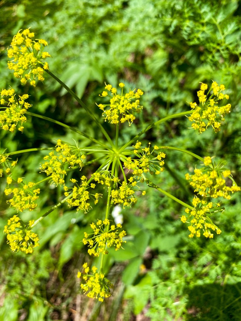
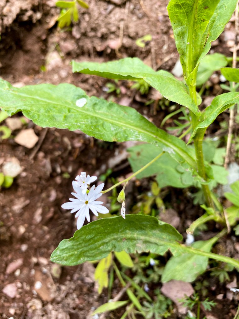
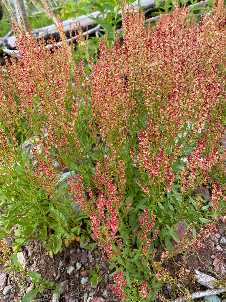
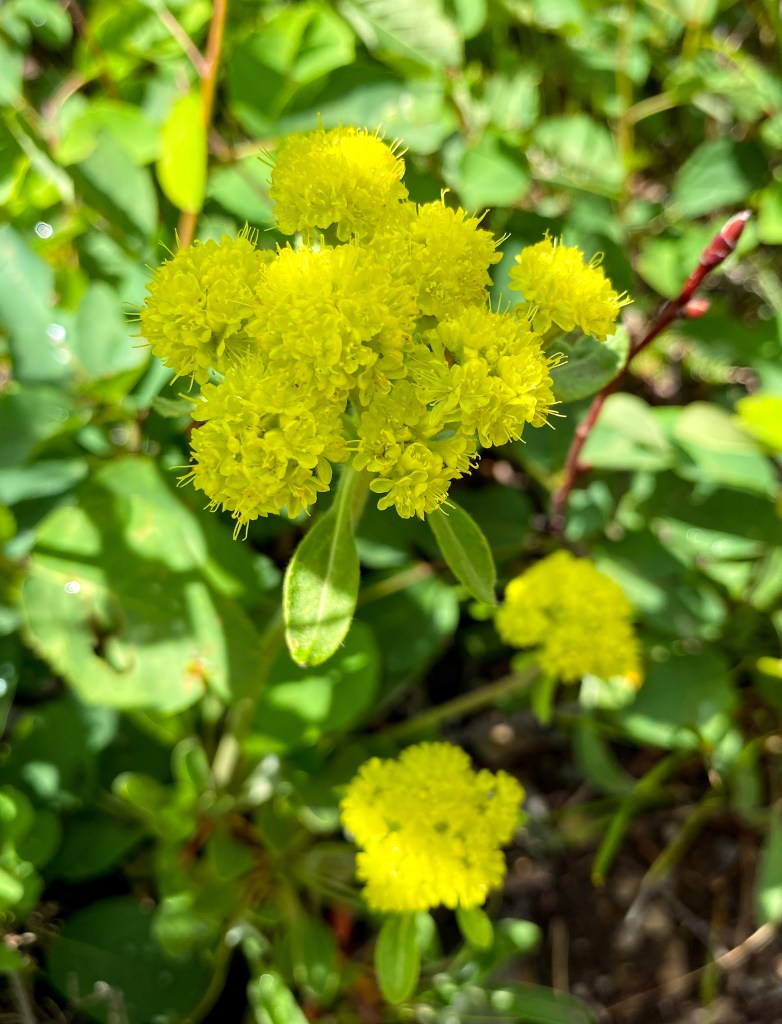
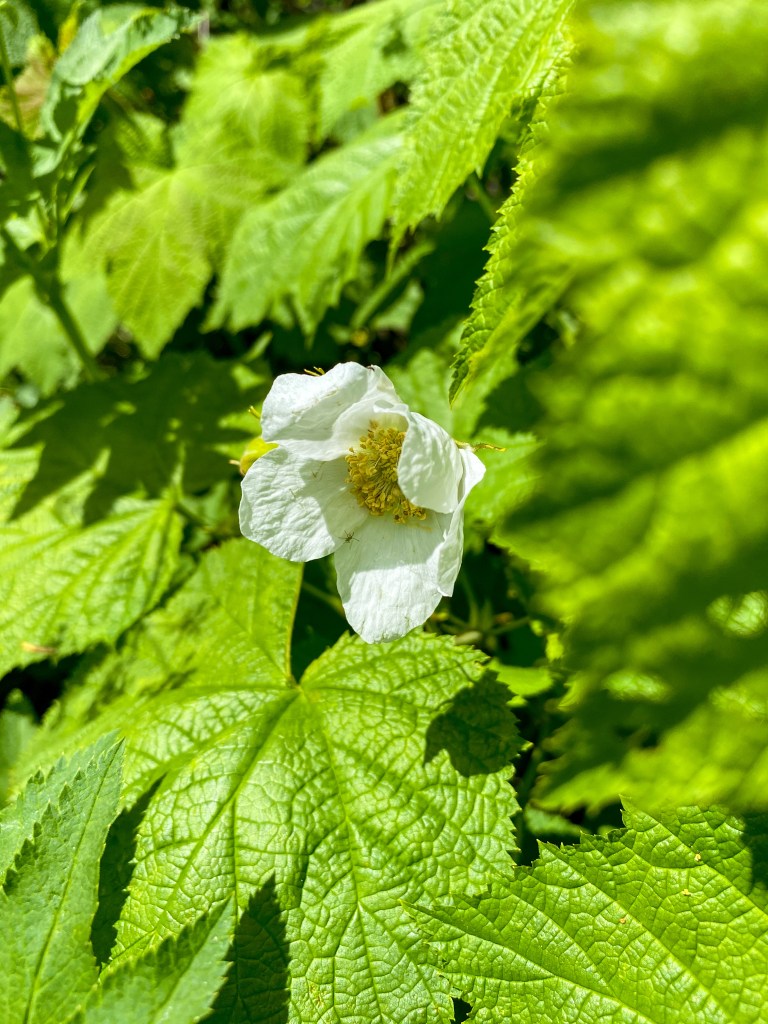
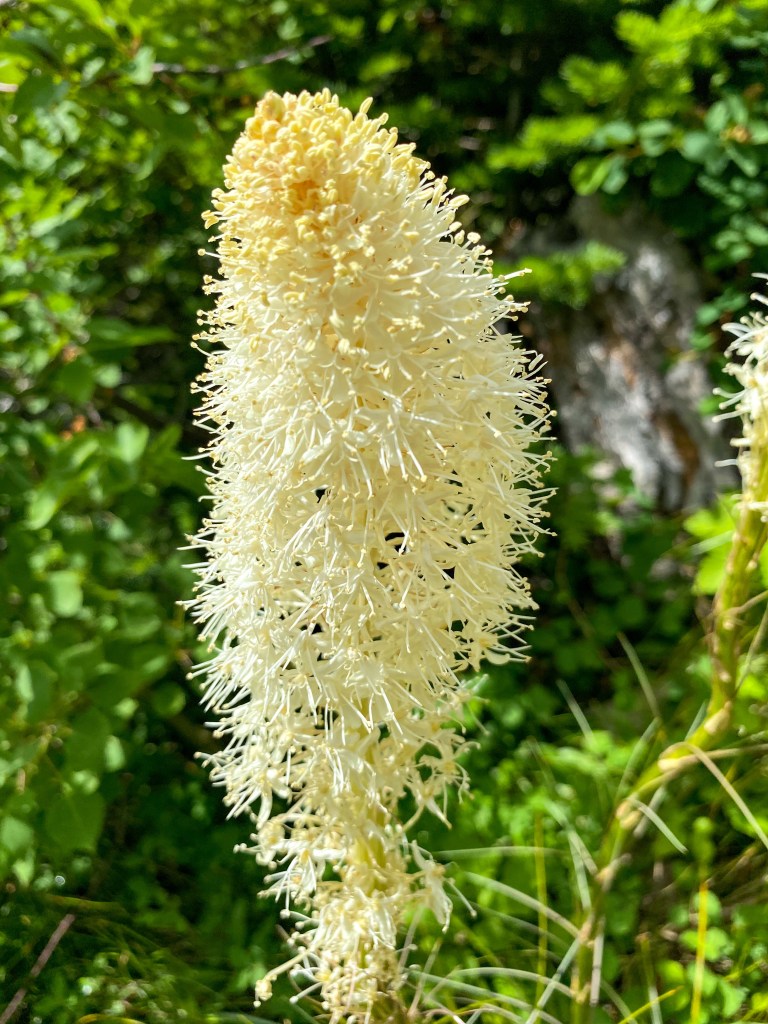
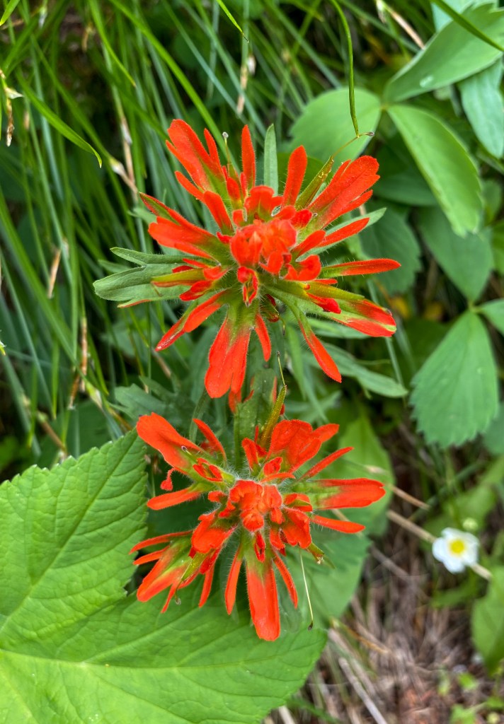
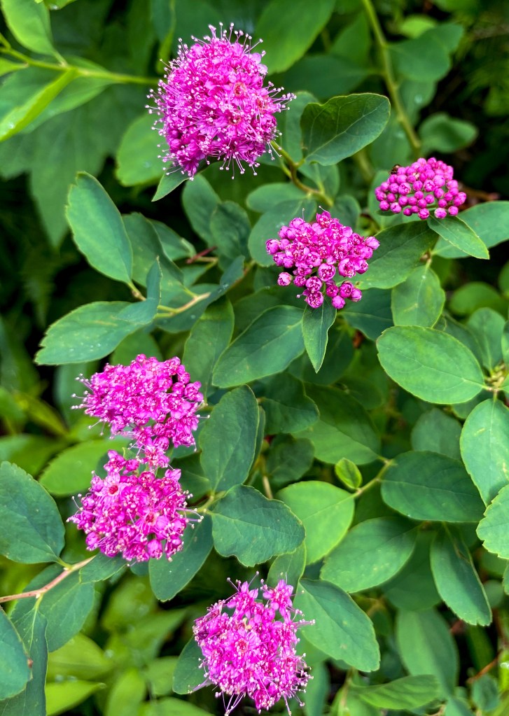
Day Two
The Going-to-the-Sun Road, one of the top US scenic drives, is the only road in Glacier that cuts across the entire park. In total, it’s 50 miles and takes 2 hours to drive without stopping (I don’t think that’s even possible, though!!). With the help of an amazing friend with high speed internet, we secured our Going-to-the-Sun Entry Ticket (needed in 2021 to drive on the road from 6 am to 5 pm), and we were off!
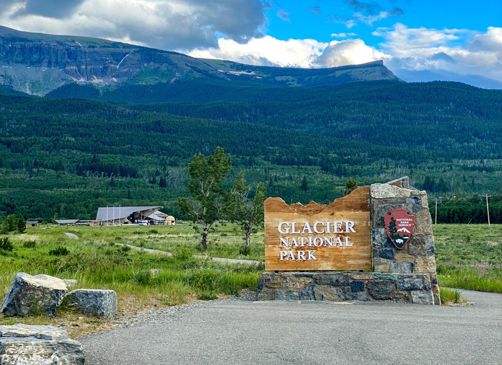
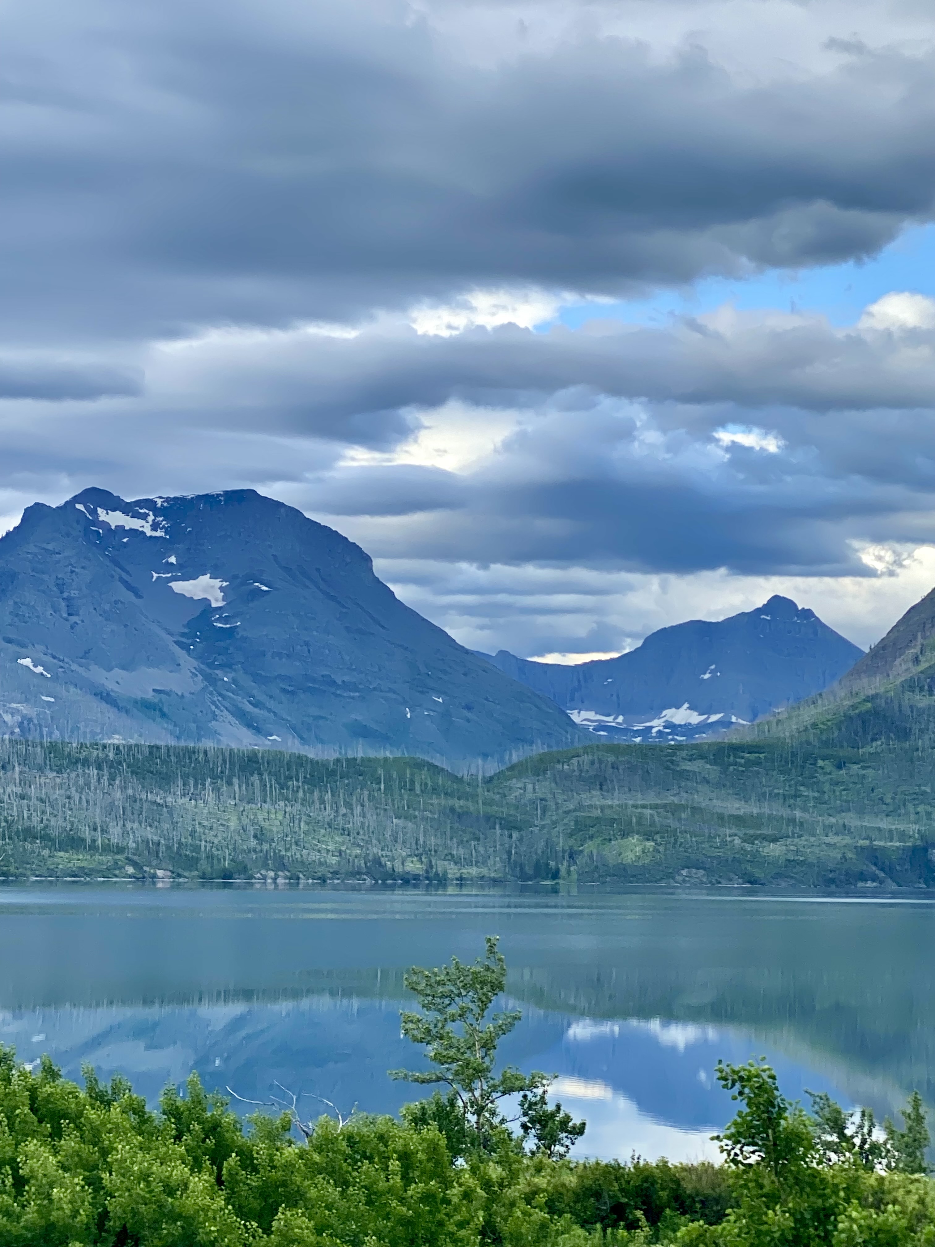
If the Highline Trail would have been open during our visit, we would have driven straight to Logan Pass to get a parking spot before 8 am, but because Logan Pass hikes were still not cleared, we thought it best to follow the GTSR (Going-to-the-Sun Road) points of interest in order from St. Mary to Apgar. First up was a gorgeous view of St. Mary Lake, Glacier’s second largest lake coming in at 10 miles long.
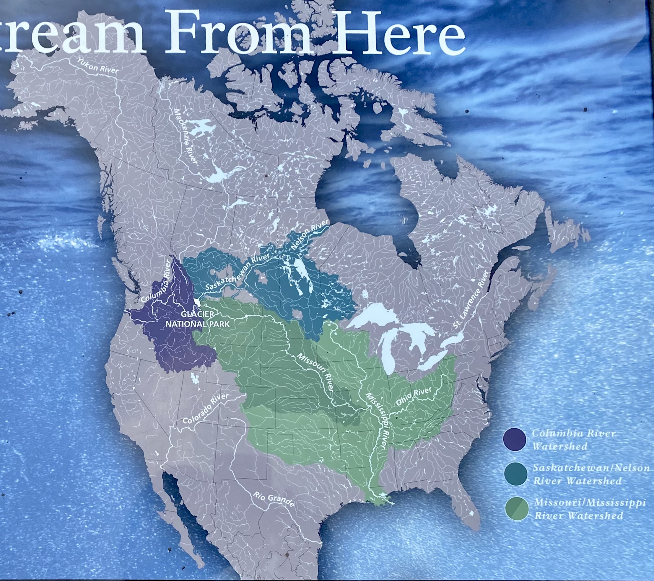
Next up was a pullover to view the Triple Divide Peak – remember the Continental Divide? This peak is one of the few places in the world where streams feeding three major watersheds originate – the water flows to the Pacific Ocean, Hudson Bay, and the Gulf of Mexico.
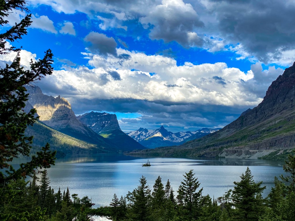
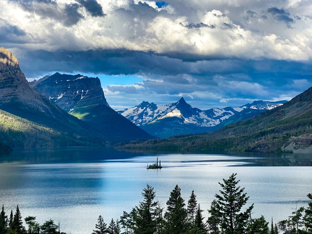
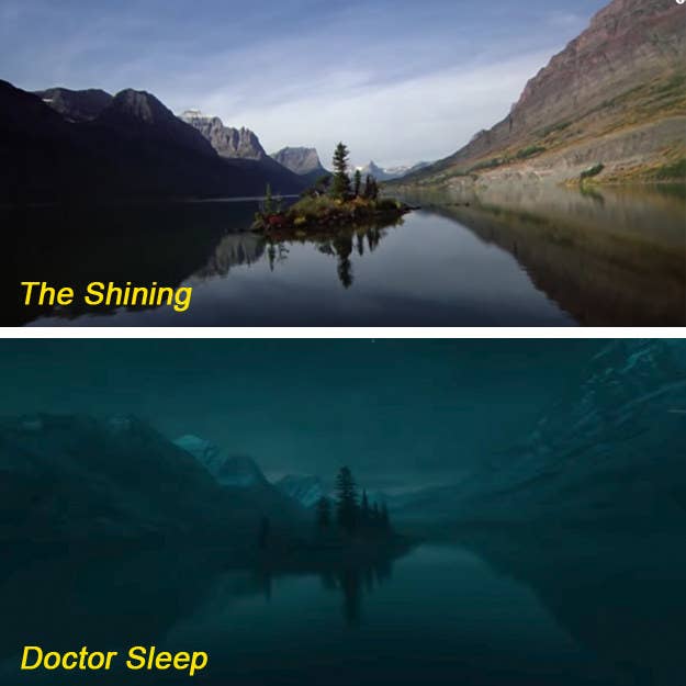
The next pullover is Glacier’s claim to fame in Hollywood. If you’ve seen Stephen King’s The Shining, you’ve seen this lookout. Called Wild Goose Island Lookout, this island makes an appearance in the opening flyover shot of the The Shining just before you see the Overlook Hotel (it also makes an appearance in the sequel ‘Doctor Sleep’ from 2019).
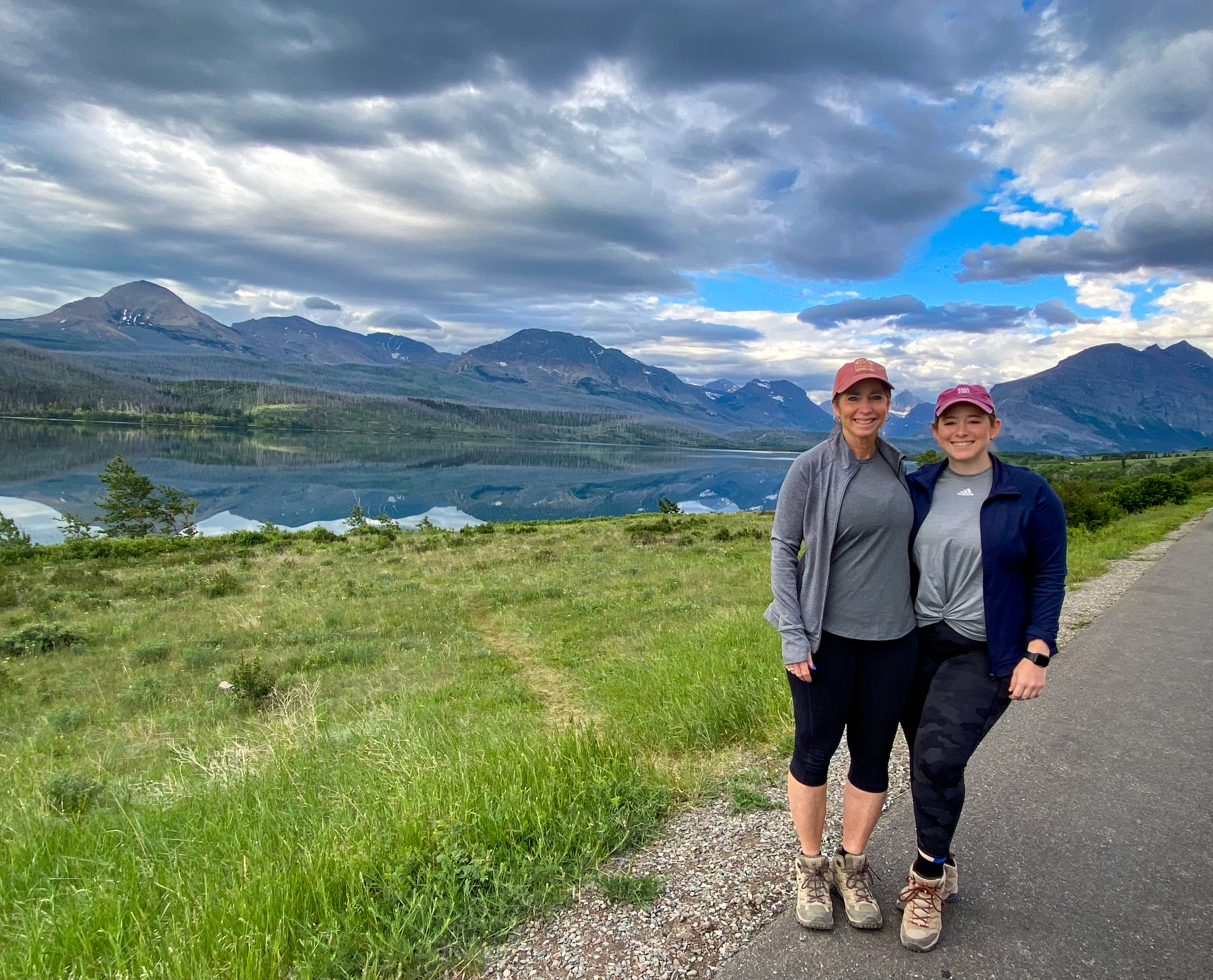
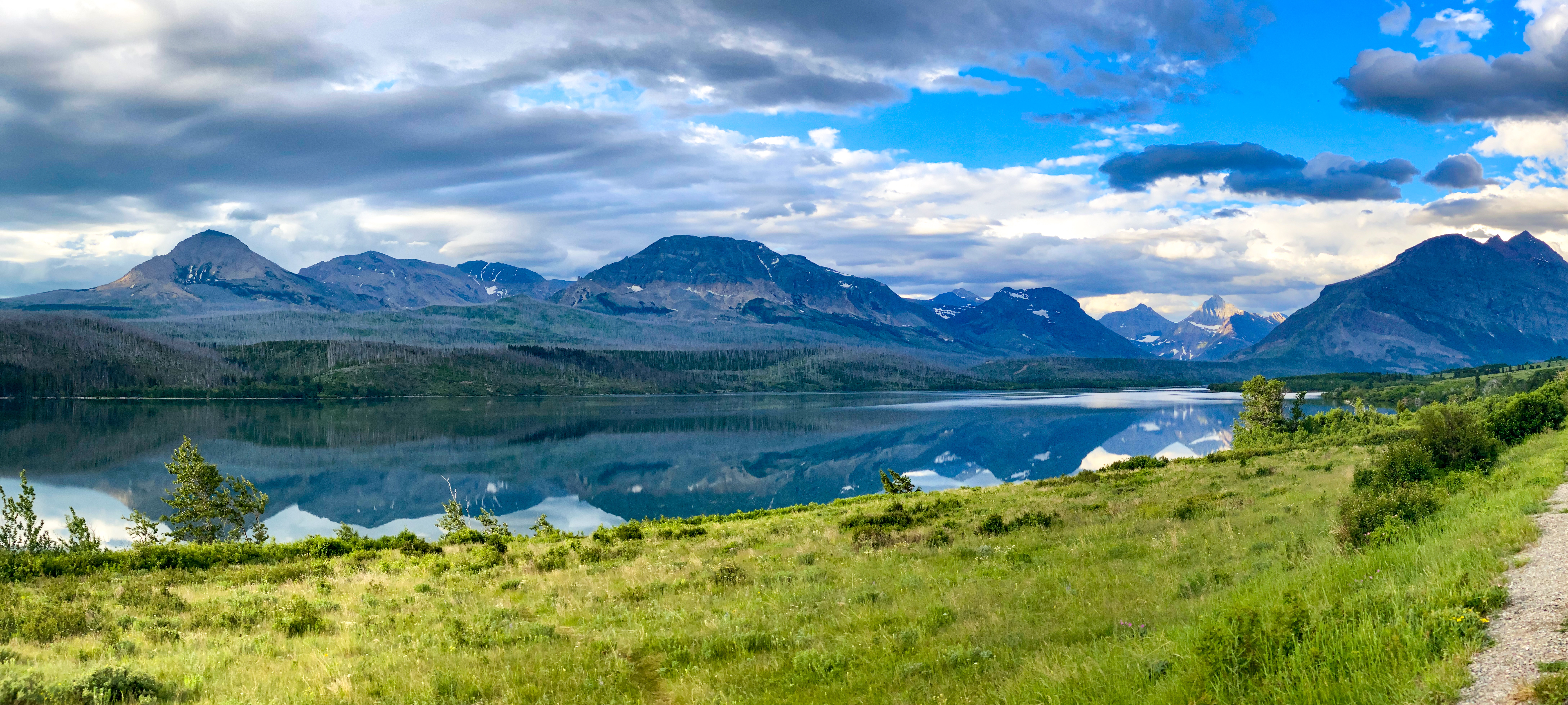
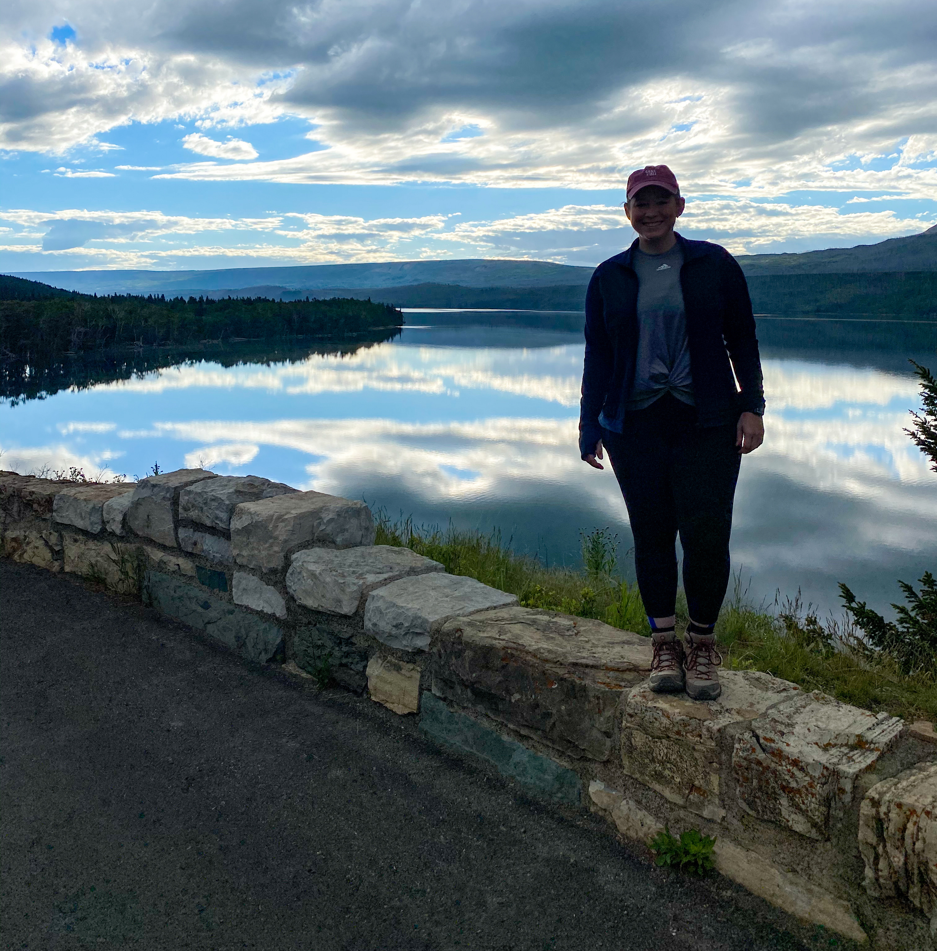
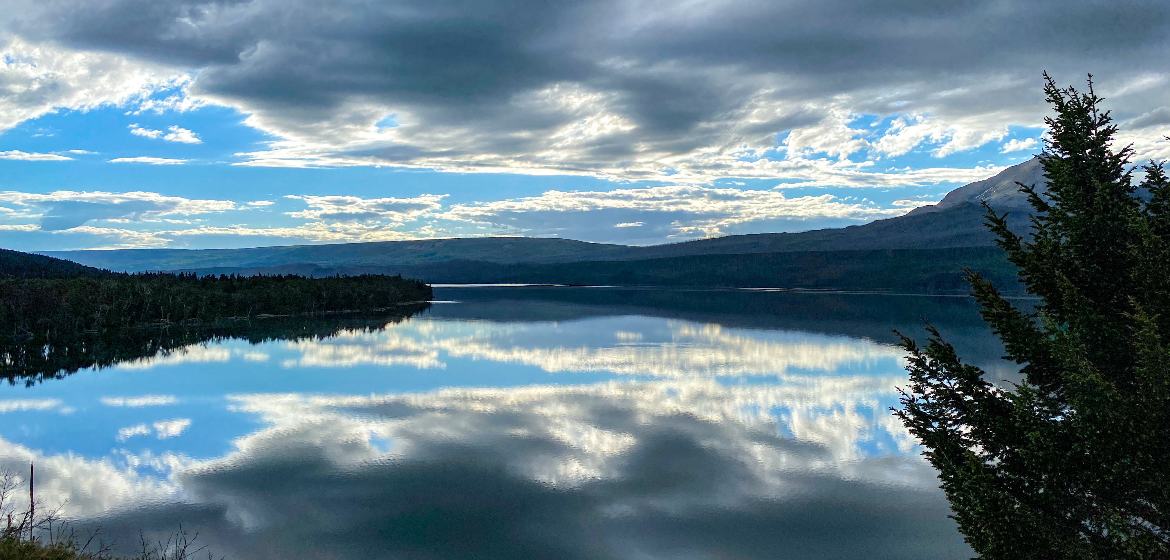
Just before we stop for our first hike of the day, we pull over to get a different view of St. Mary Lake. Because of the overcast morning (it’s still not even 8 am yet), we get beautiful mirror images of the cloudy skies on the calm surface.
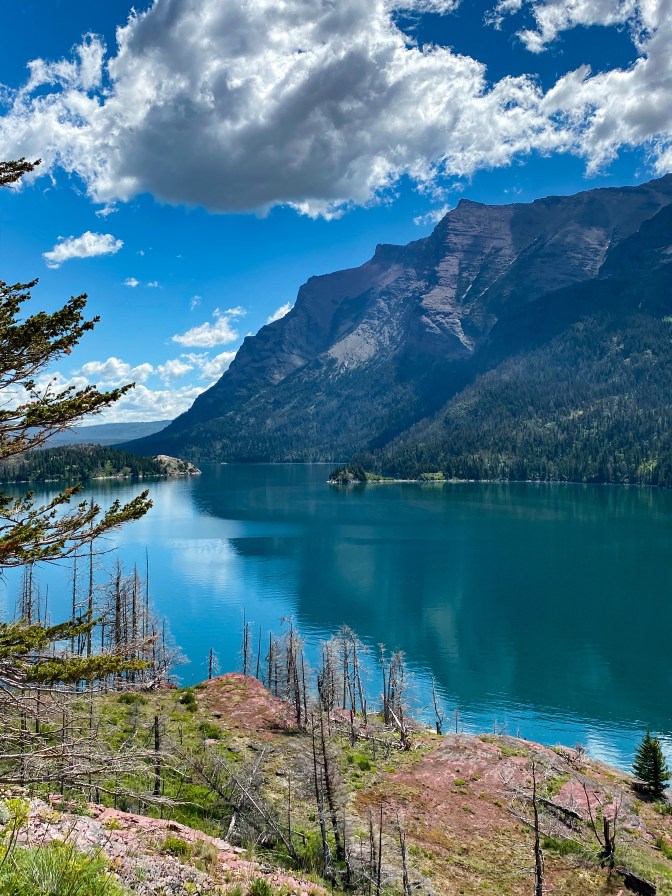
Our first hike – Sun Point. We hiked the 0.2 miles to the overlook to take in more views of St. Mary Lake and the Narrows and the surrounding mountains.
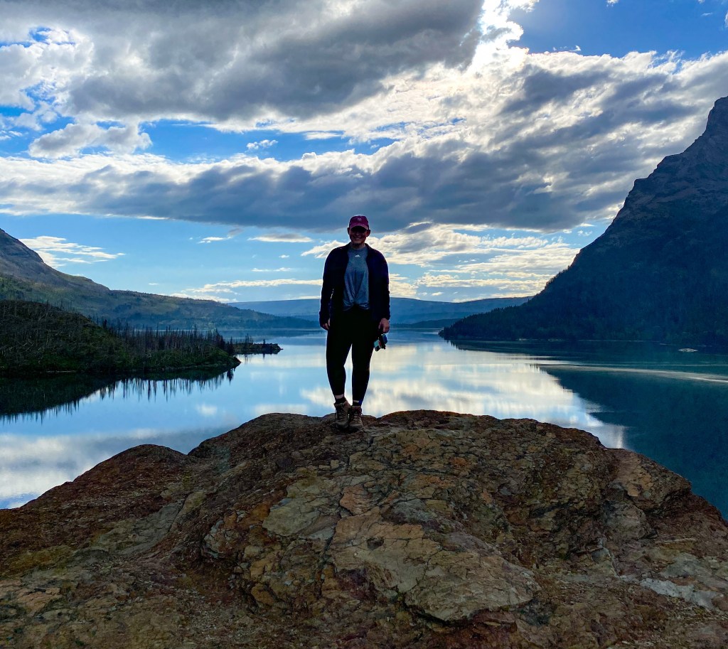
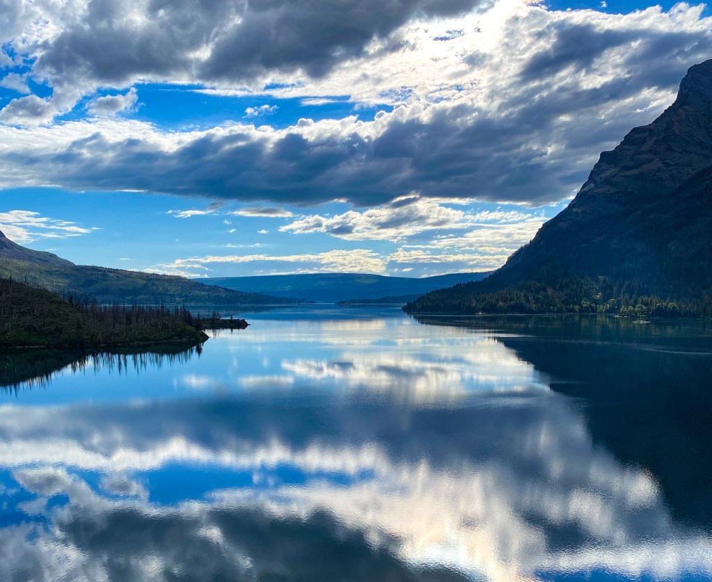
The Narrows at St. Mary Lake 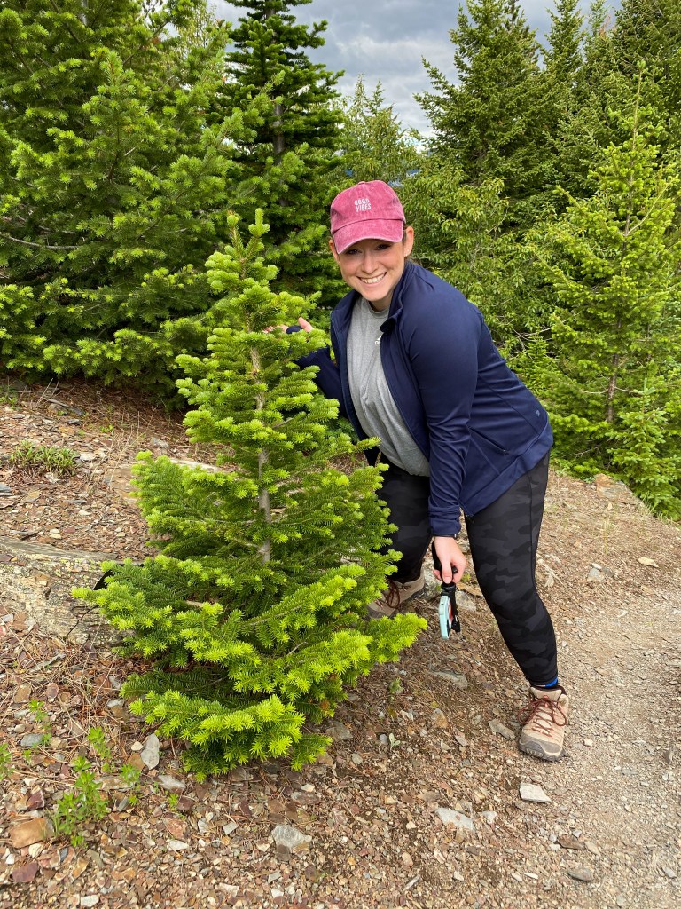
Tiny Christmas Tree! 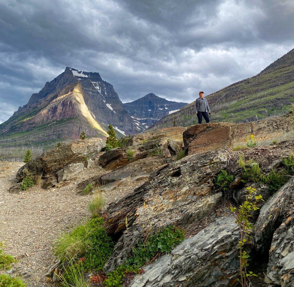
Jill taking in the views 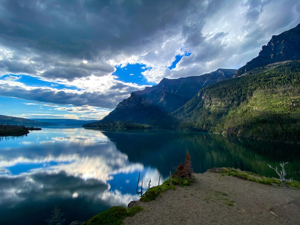
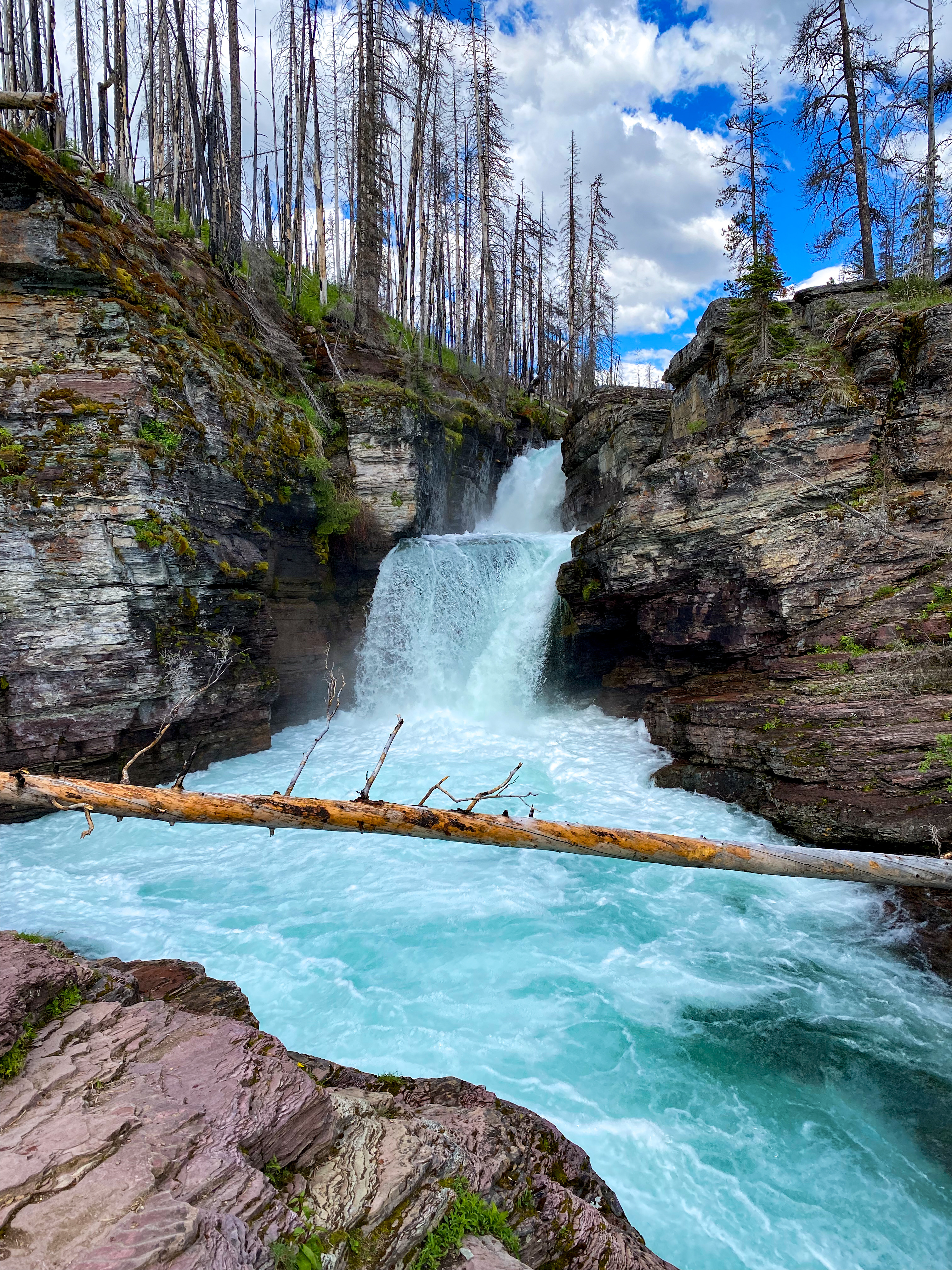
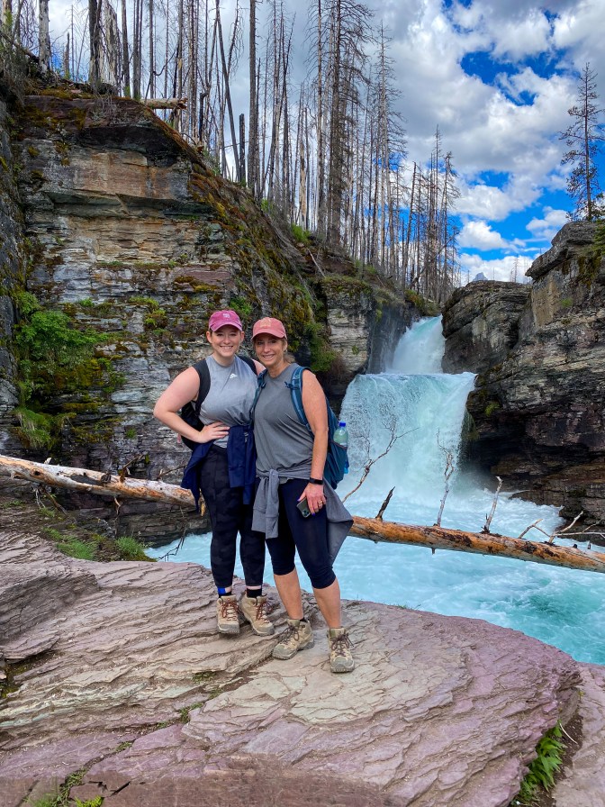
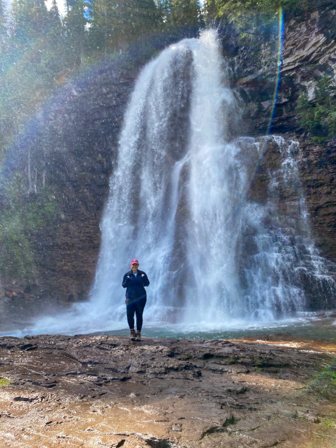
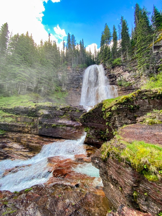
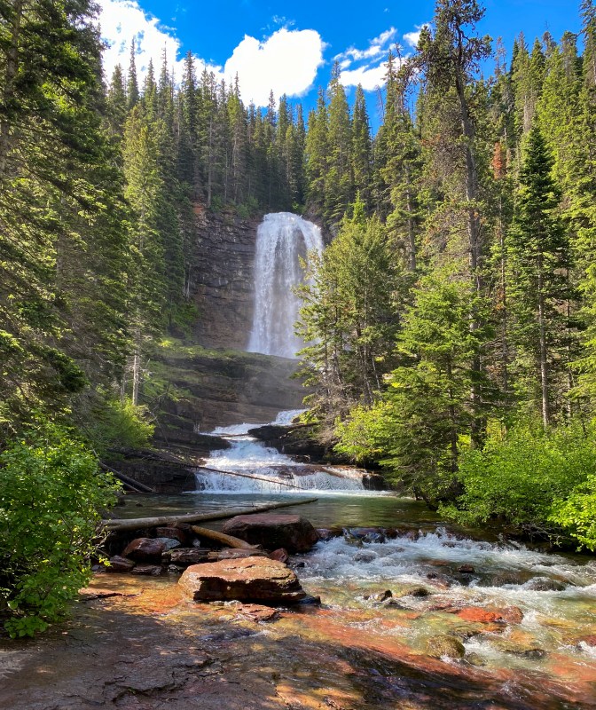
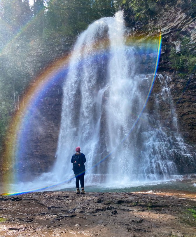
Just a few hundred feet down the road was Sunrift Gorge, where we parked to hike the Three Falls trail – Baring, St. Mary’s, and Virginia Falls. While it is a bit of a hike to get all the way out to Virginia Falls, it’s worth it! And remember to bring a jacket – up close to those falls is a bit chilly.
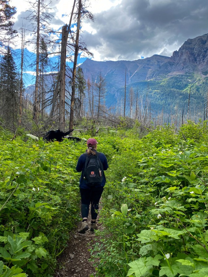
Into the thick of it… 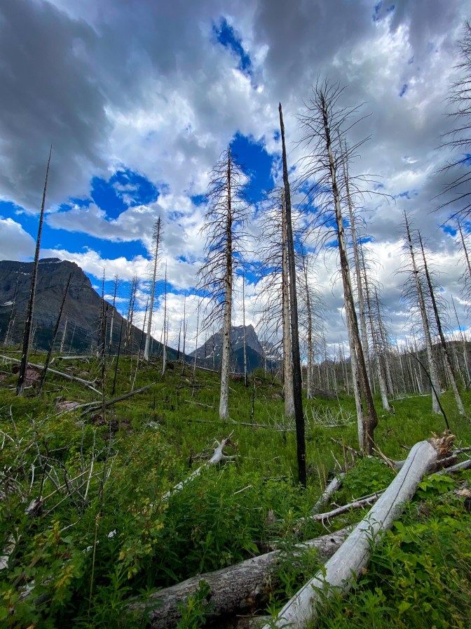
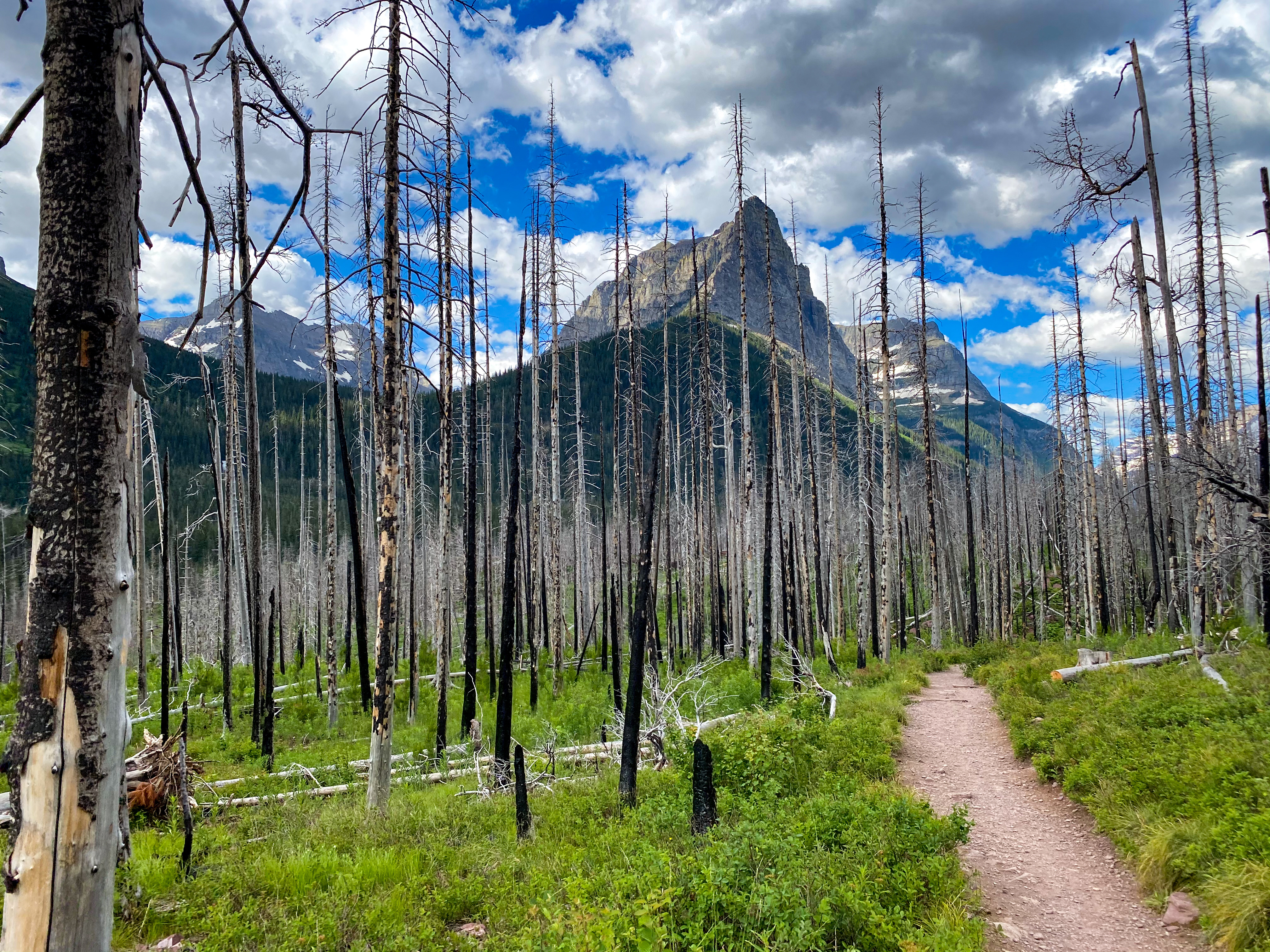
Lodgepole Pine fire aftermath 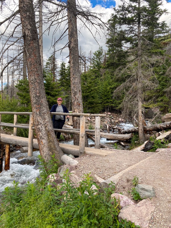
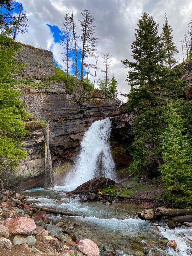
Baring Falls
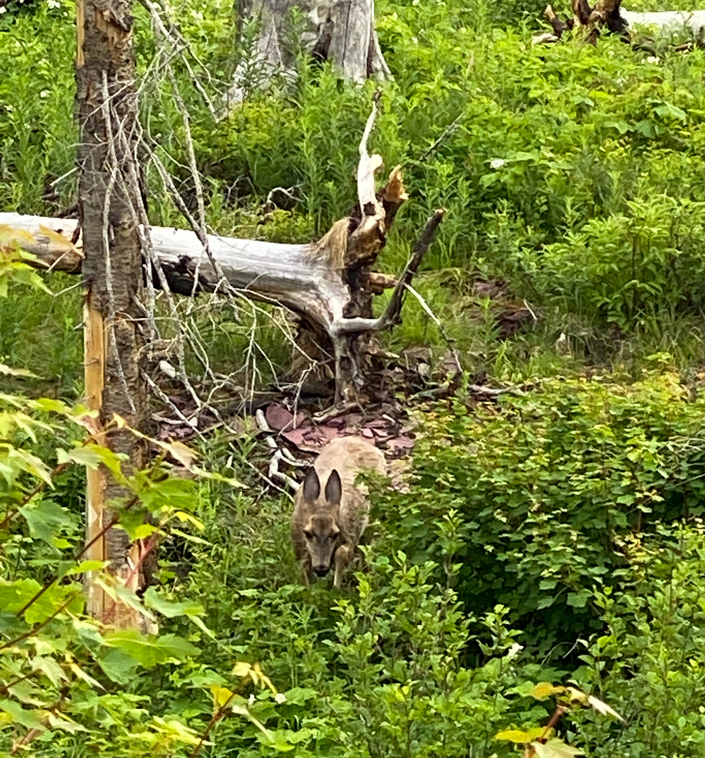
Scroll through the pictures below to see the hike from Baring Falls to St. Mary’s Falls. So many marmots along the way!
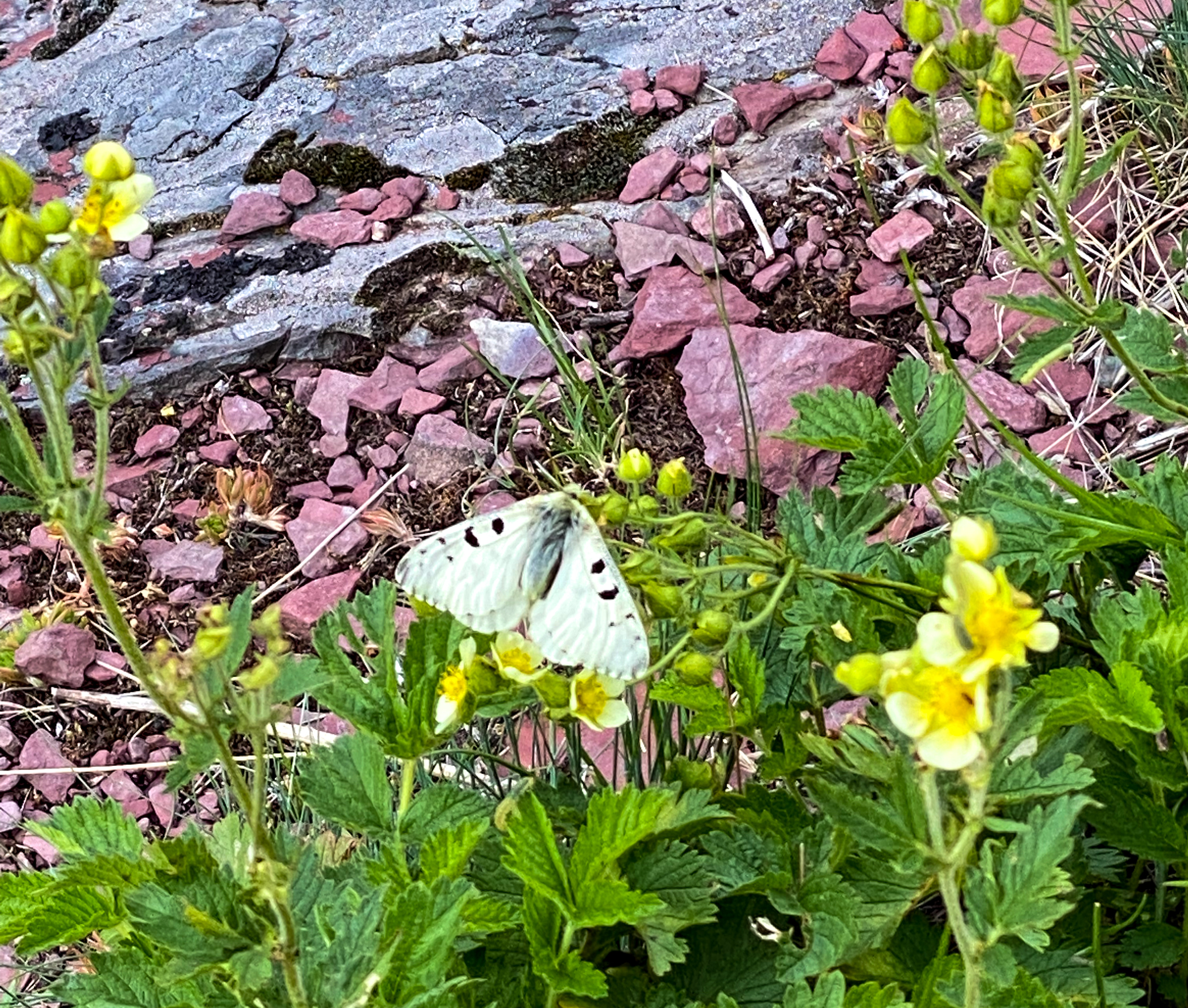
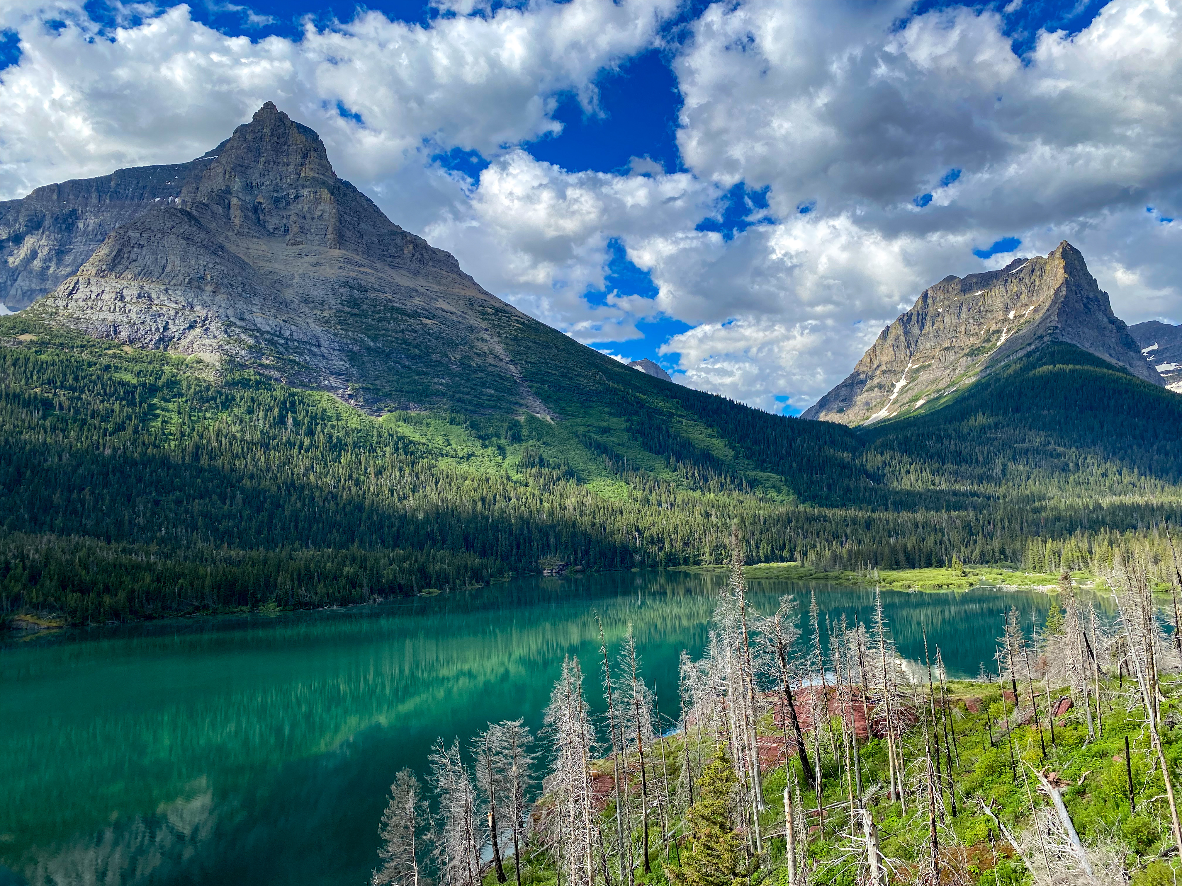
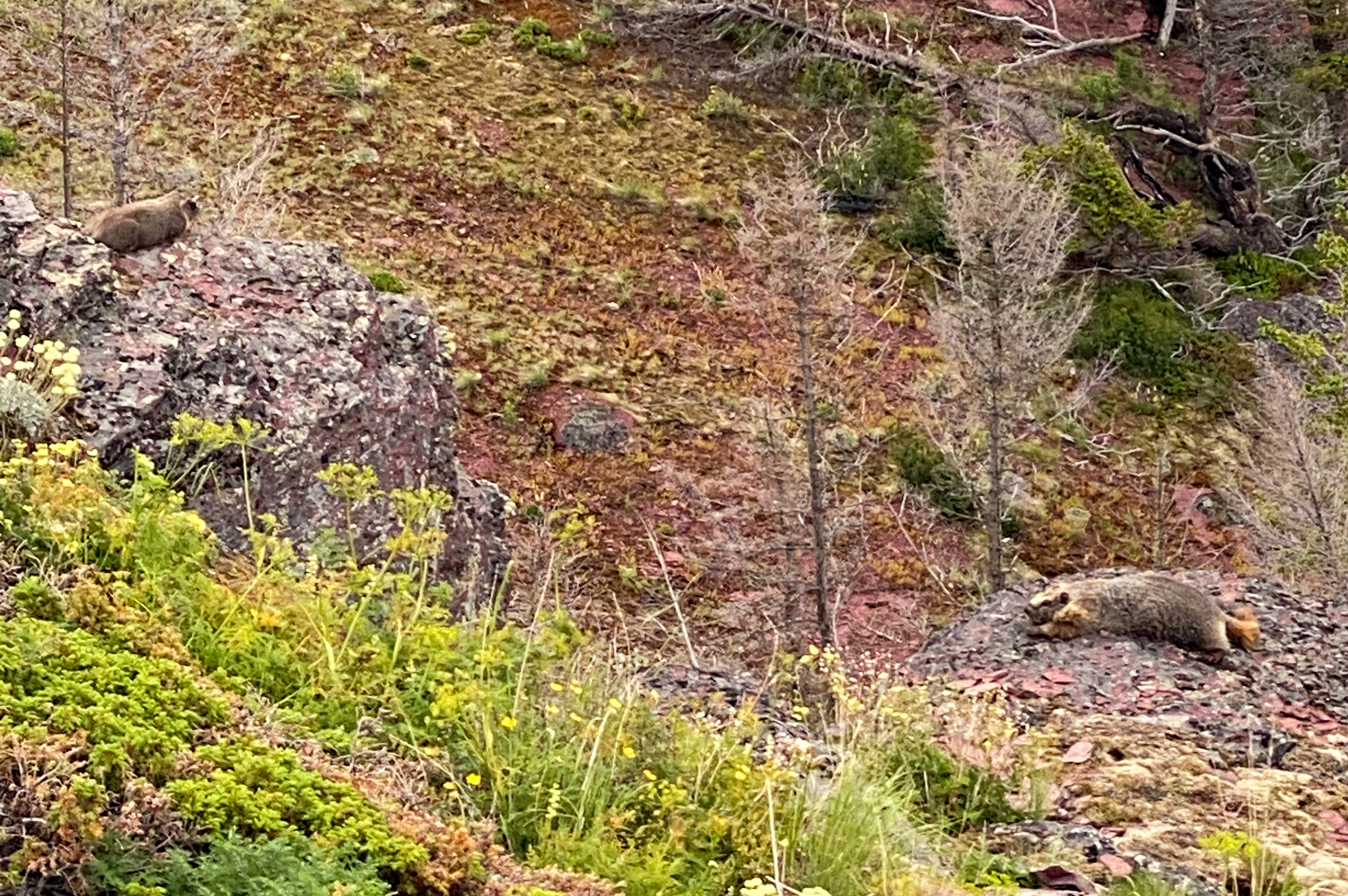
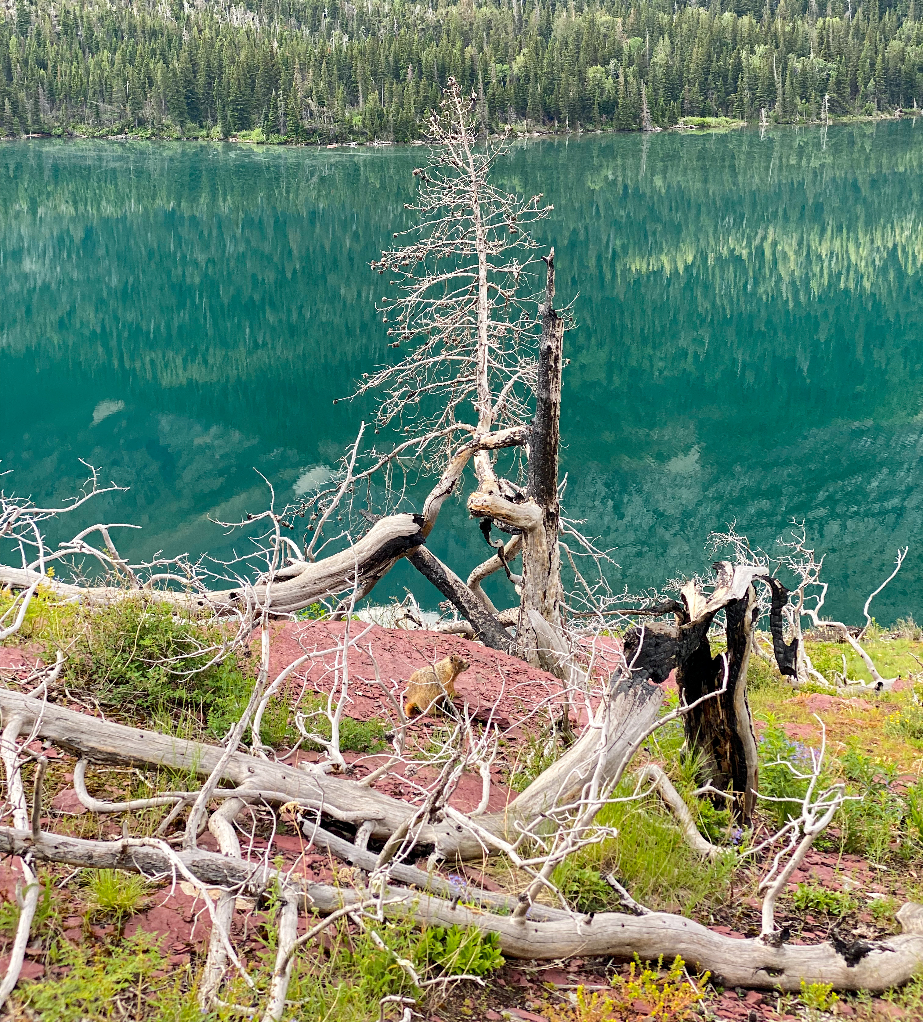
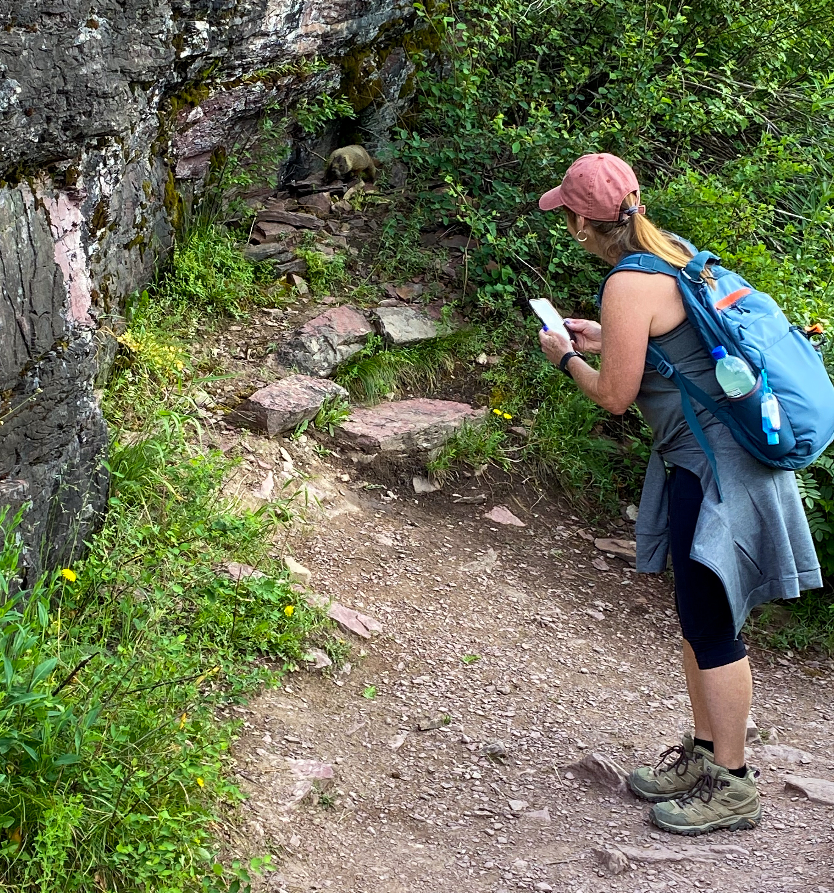
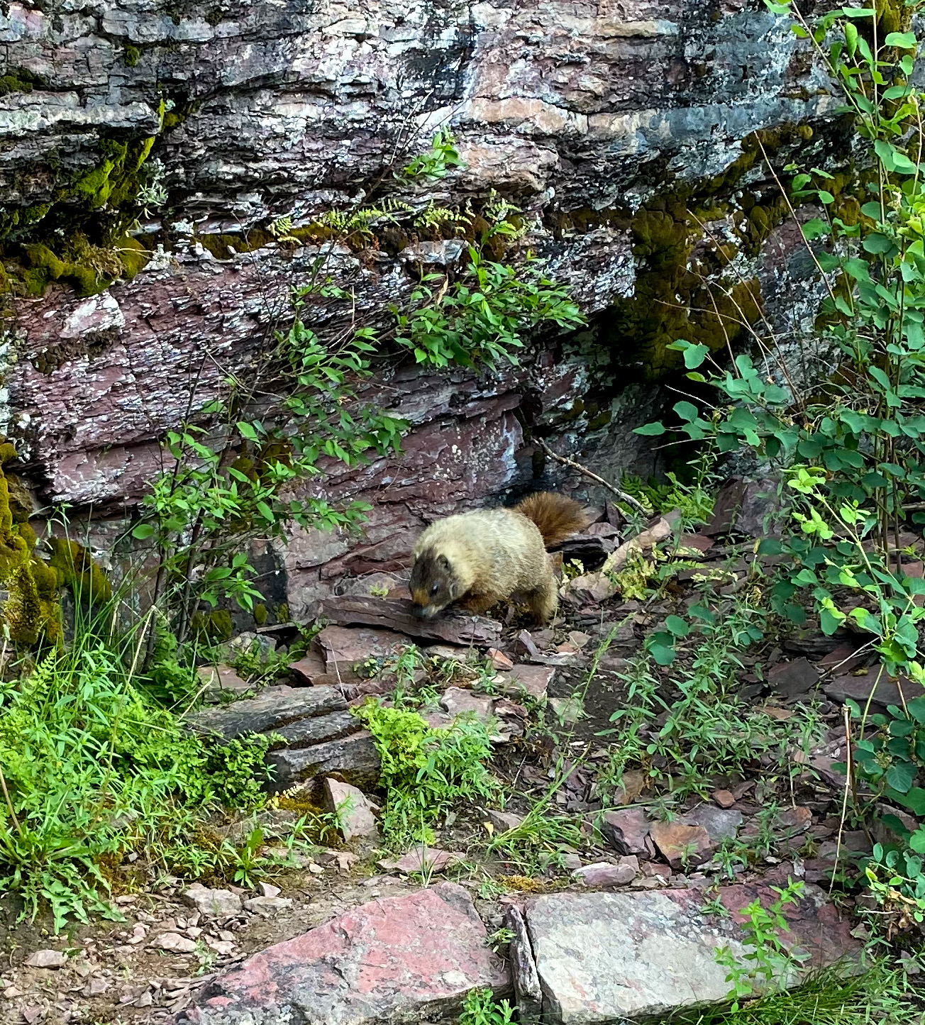
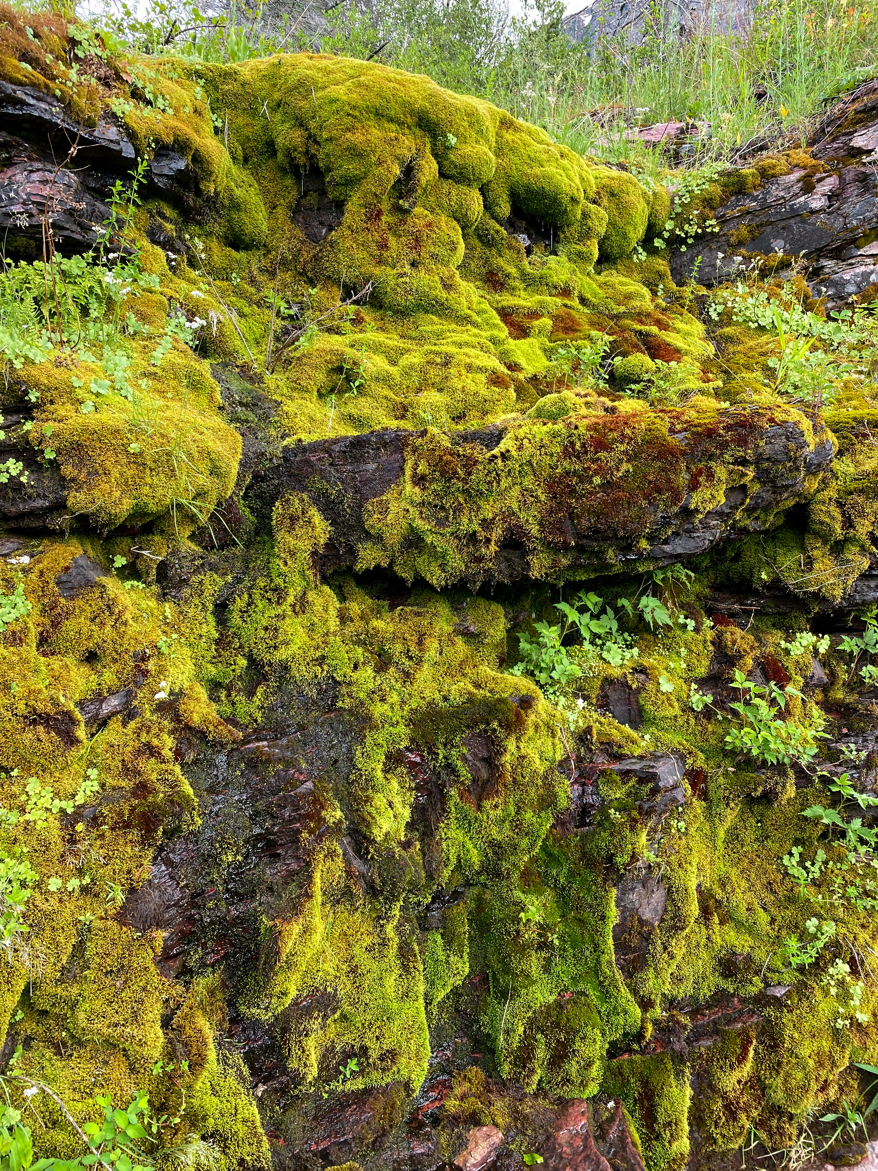
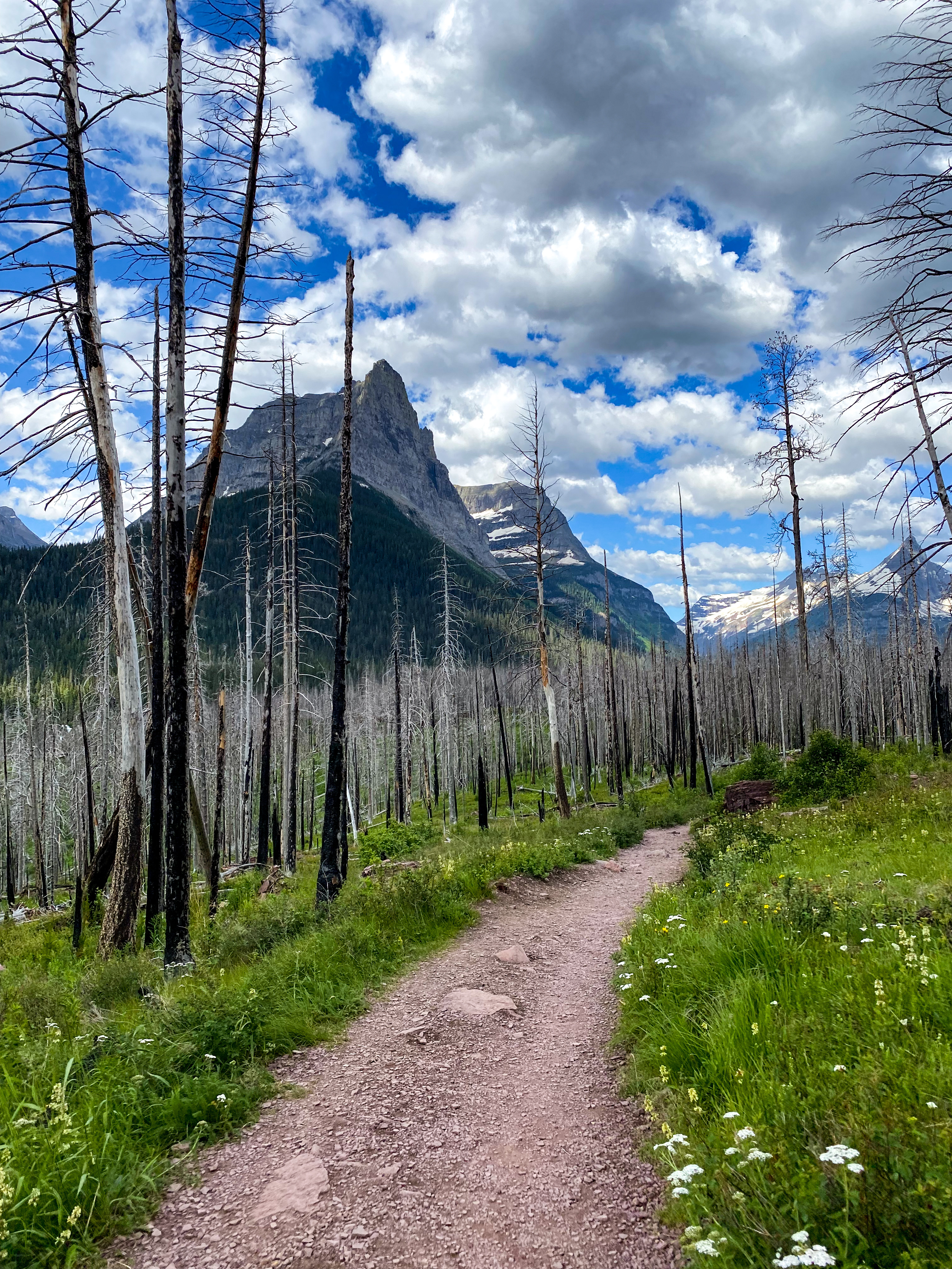
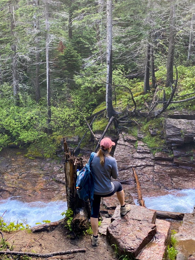
Scroll through the pictures below to see our hike between St. Mary’s Falls to Virginia Falls.
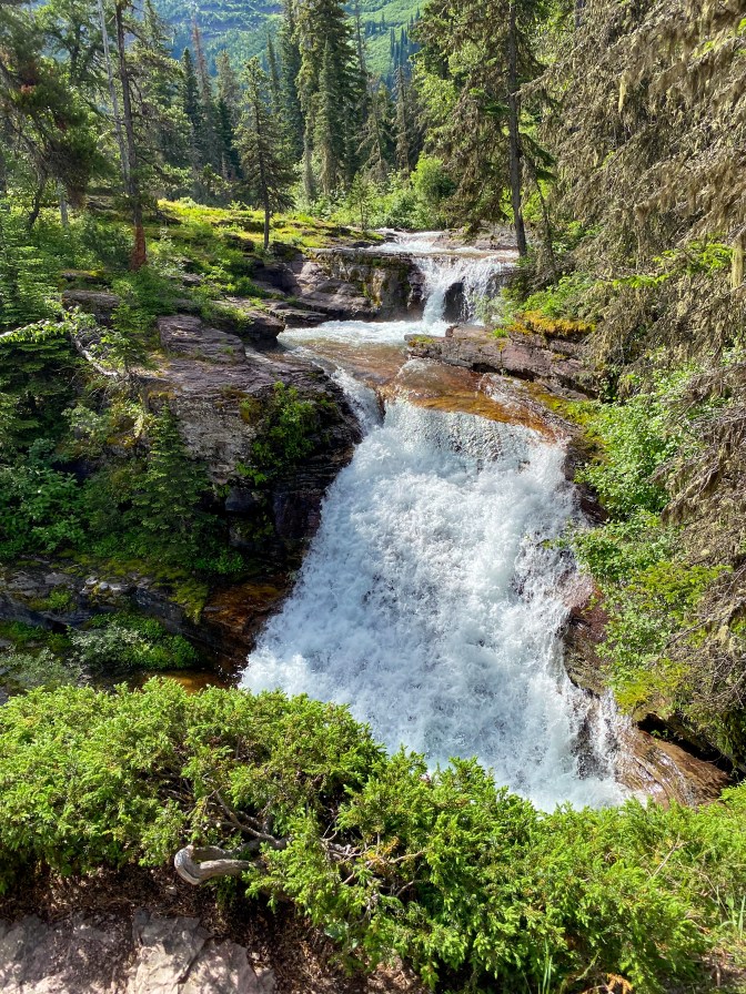
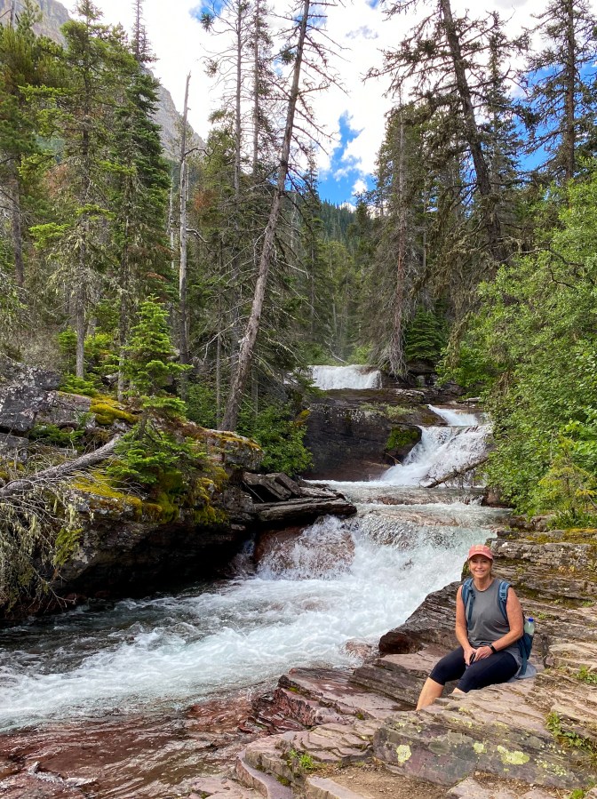
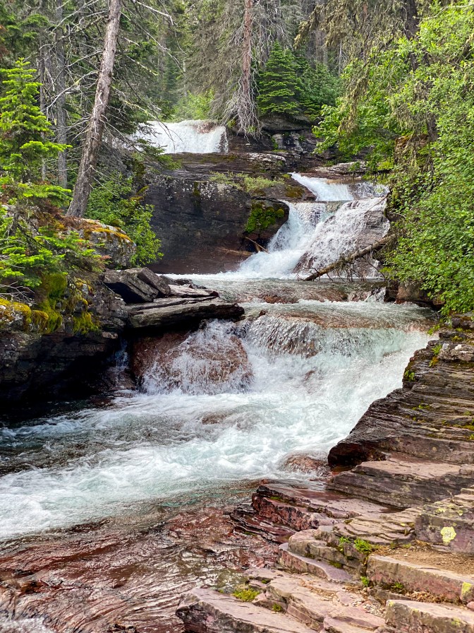
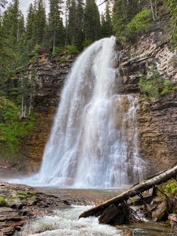
Back on the road, we passed the Going-to-the-Sun Mountain before pulling over to the Jackson Glacier Overlook. Jackson Glacier is now only one of 25 active glaciers left – for comparison, in 1910 there were over 100 glaciers in the park.
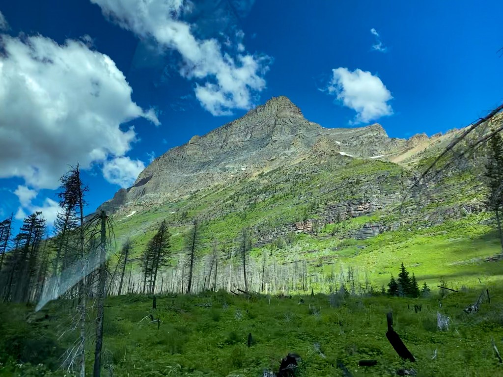
Going to the Sun Mountain 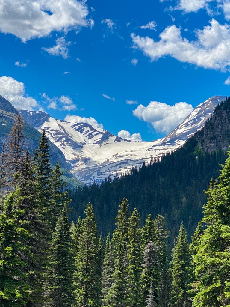
Jackson Glacier underneath a snow field 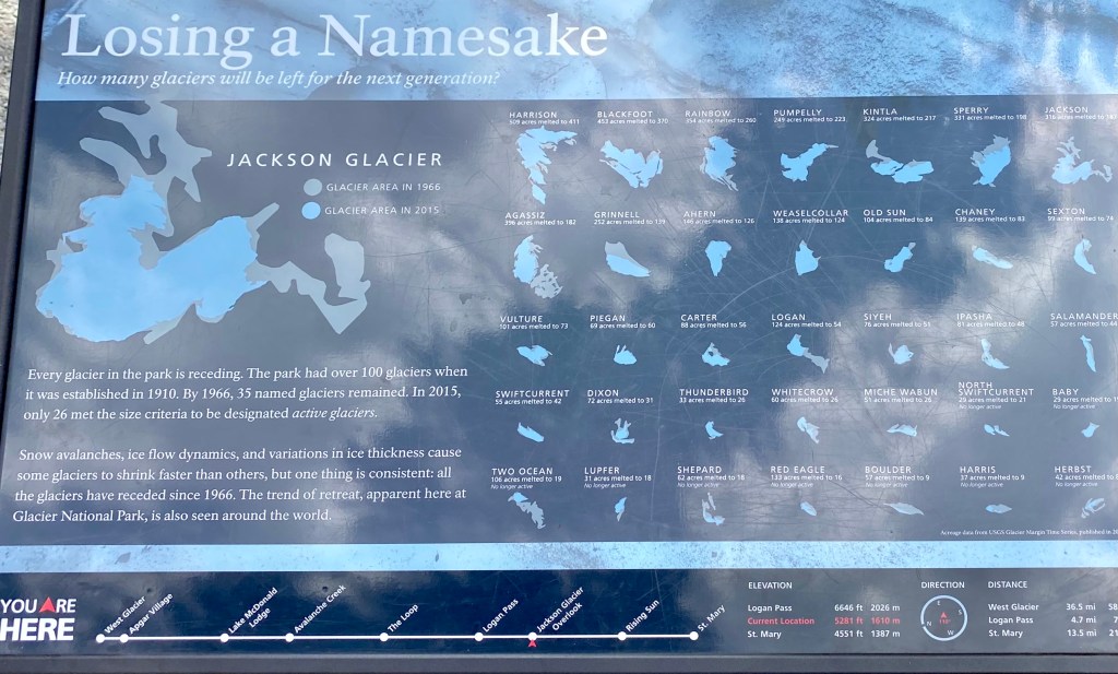
Some info about the disappearing glaciers and which ones remain
Next stop, Siyeh Bend. The road crosses over Siyeh Creek and has parking on both sides of the bend. The people parked in this area are either stopping for a quick pic or on a serious hike, as some of the park’s popular long hikes leave from here – Siyeh Pass, Piegan Pass, and Gunsight Pass. Just down the road is a great pullover to view some more Glacier mountains, too!
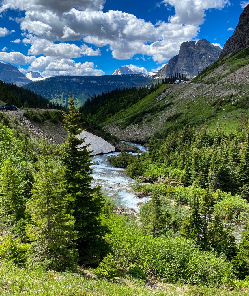
Siyeh Creek 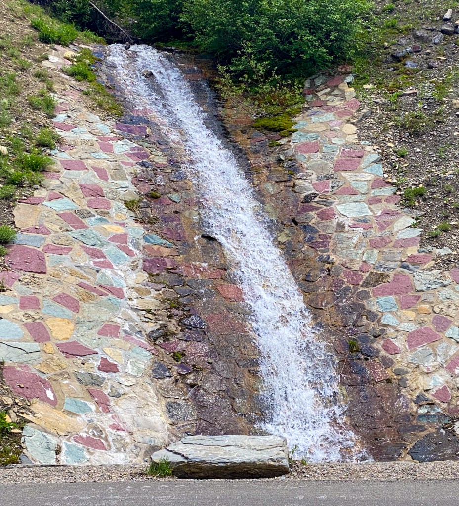
Roadside waterfall made from all the colorful Glacier rocks 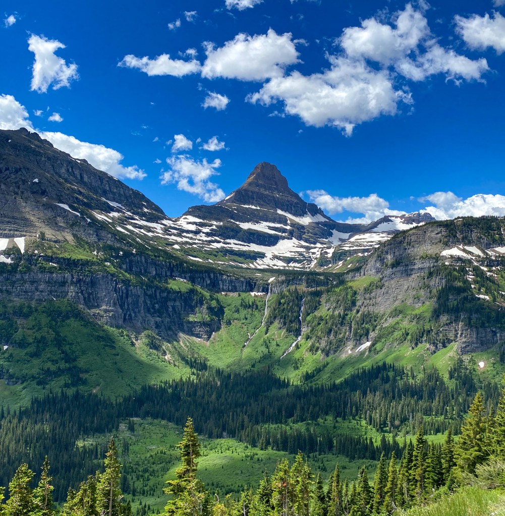
Reynolds Mountain 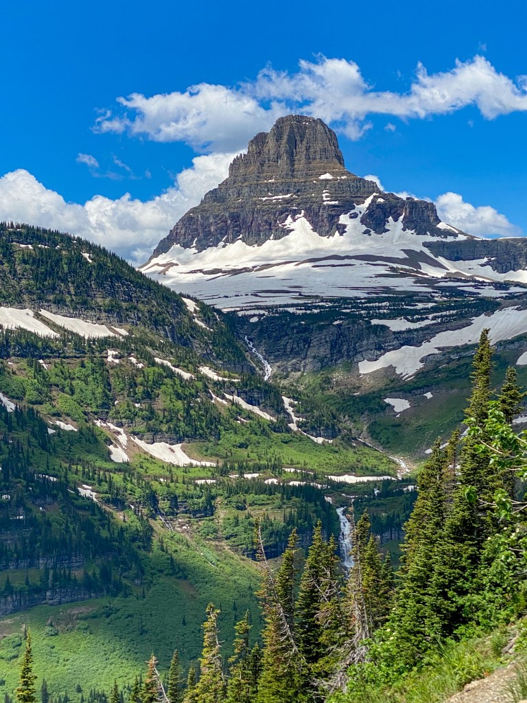
Clements Mountain 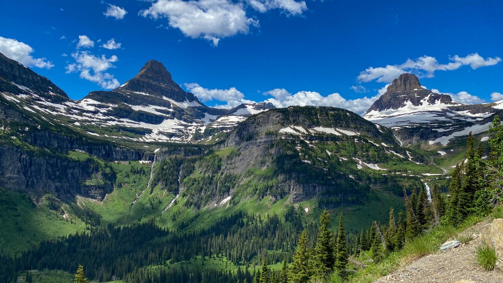
All the mountains
The next point of interest isn’t a stop per se – The East Tunnel, the most challenging part of constructing the road on the east side of Logan Pass back in the 1930s before the road was complete in 1932. There’s also a nice little waterfall right before the tunnel from all the snow melt.
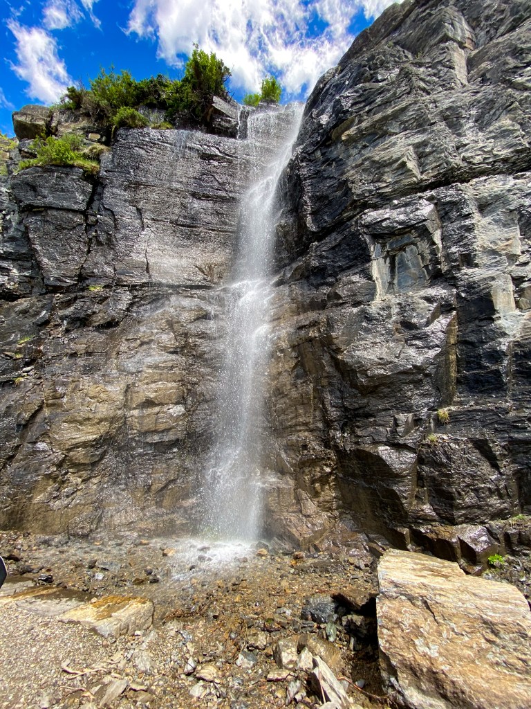
Another roadside snow melt waterfall 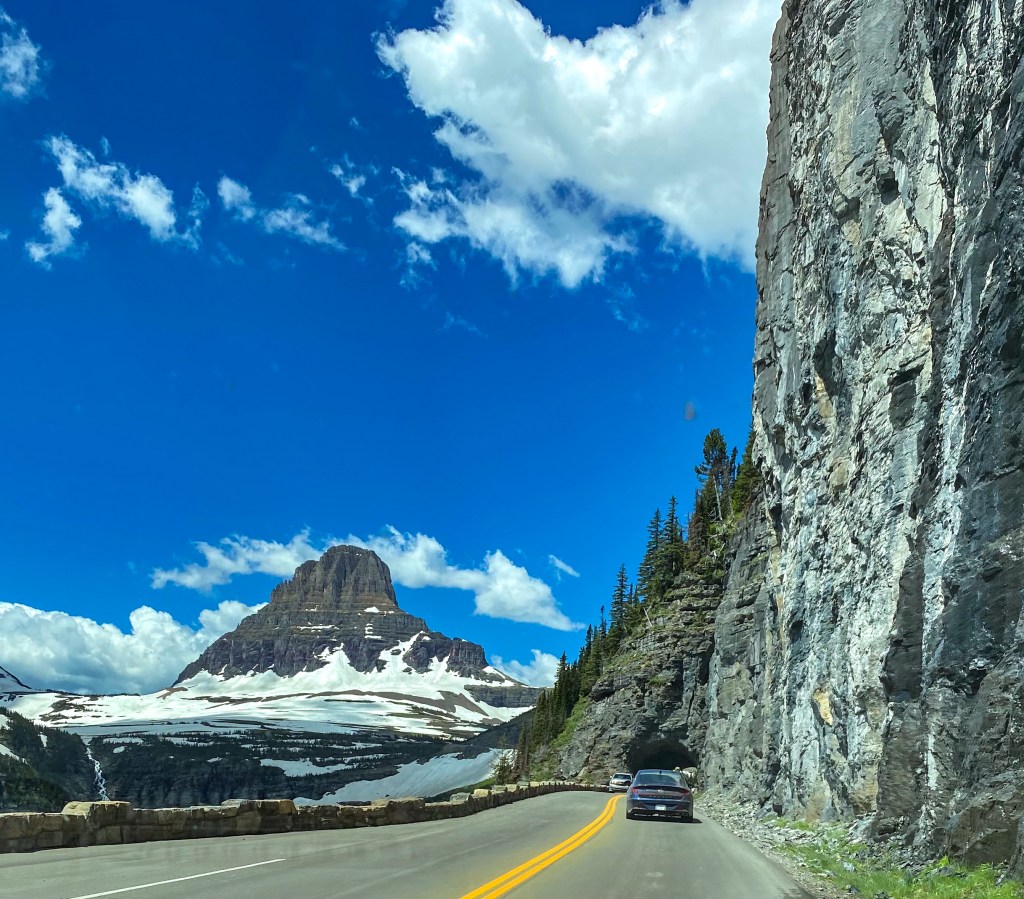
Heading into the East Tunnel with Clements Mountain in view
18 miles down the road and we’ve finally made it to Logan Pass! This is the highest point of the road at 6,646 ft. As you’ll see, there’s still a bunch of snow on the ground. This was only the 2nd day the entire road was open, and the last portion to be plowed is usually Logan Pass and the Big Drift, which can reach up to 80 feet deep of winter snow. Imagine having to plow through that much snow!
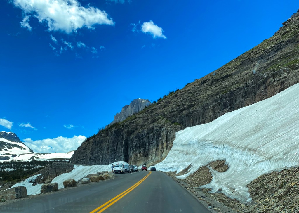
Driving through the Big Drift 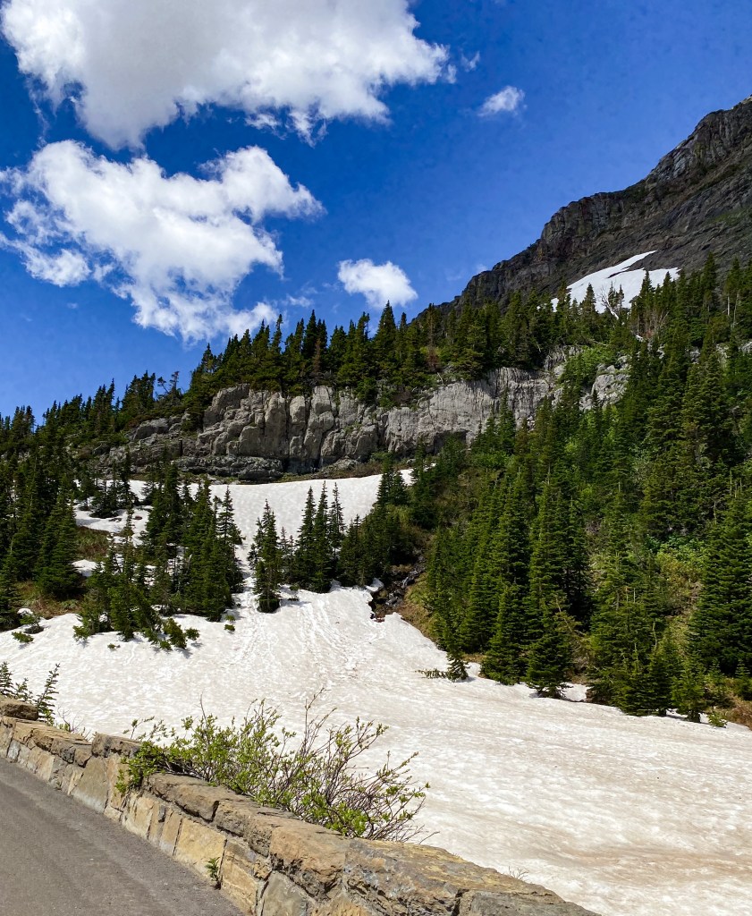
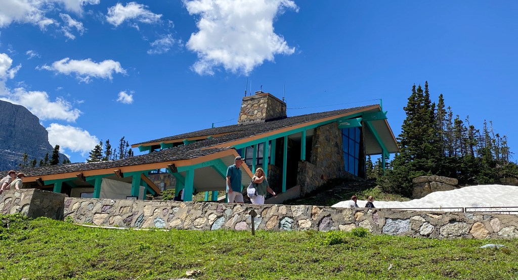
Logan Pass Visitor Center 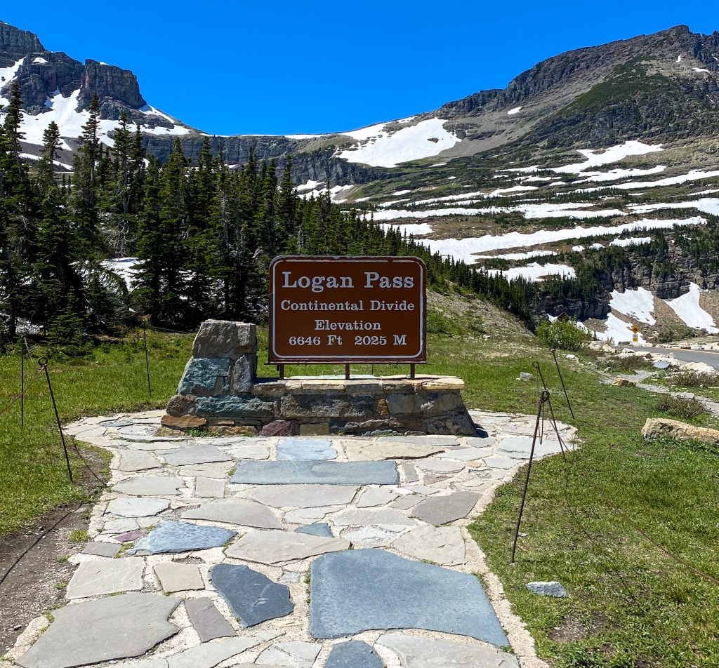
Logan Pass is yet another Continental Divide we passed through
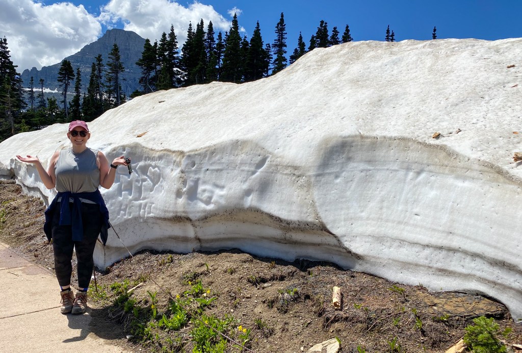
Giant wall of snow at the visitor center 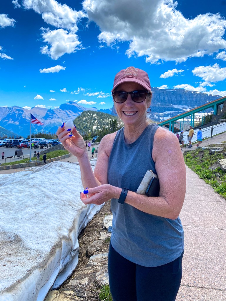
Jill really wanted to make a snowball 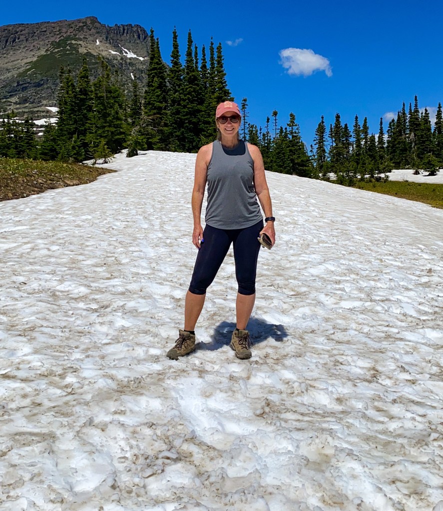
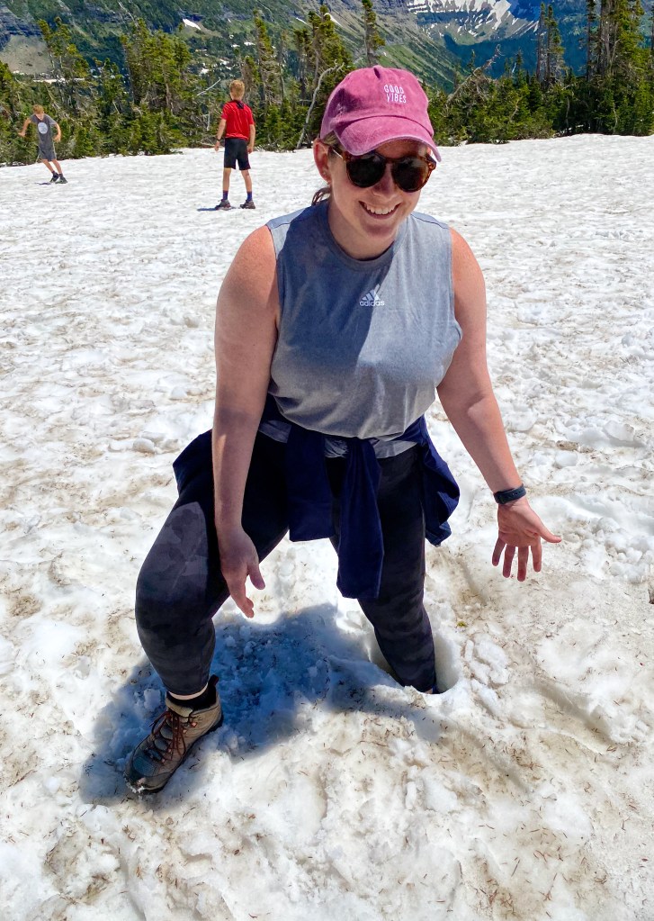
Dani got stuck in a couple feet of snow 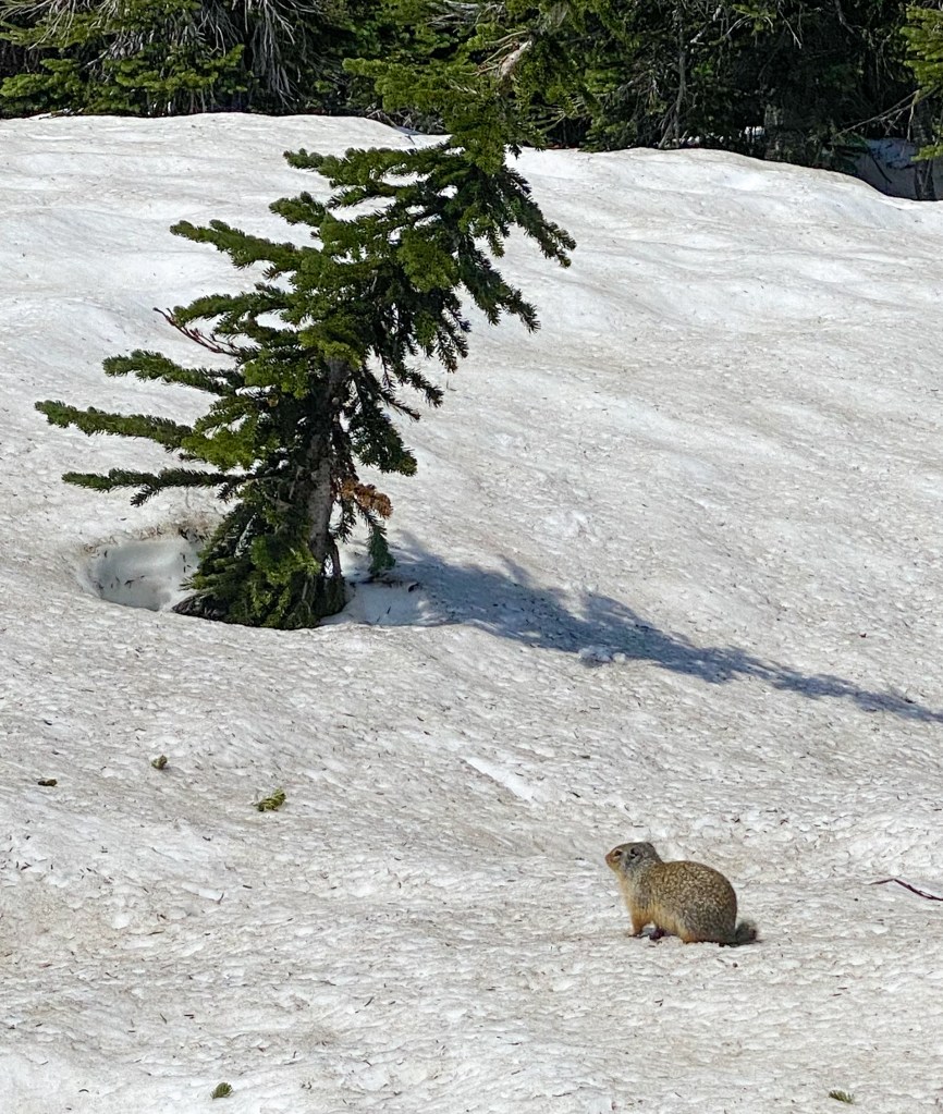
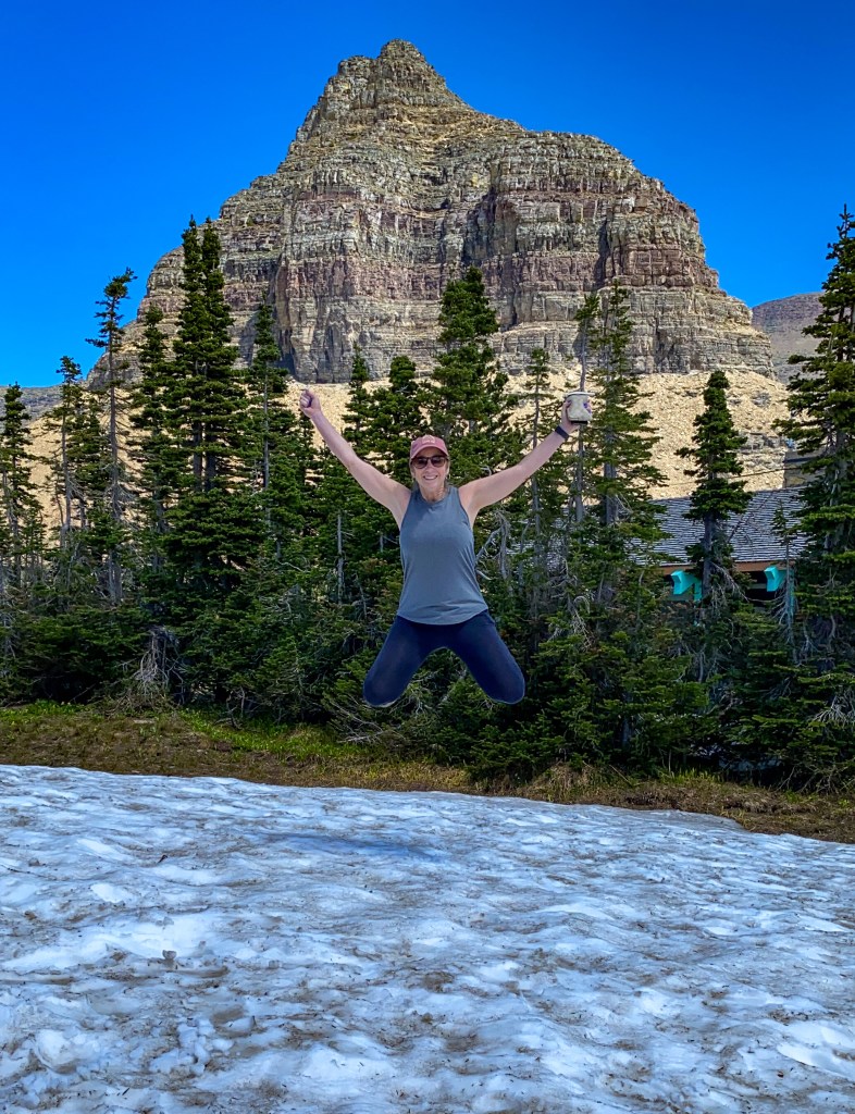
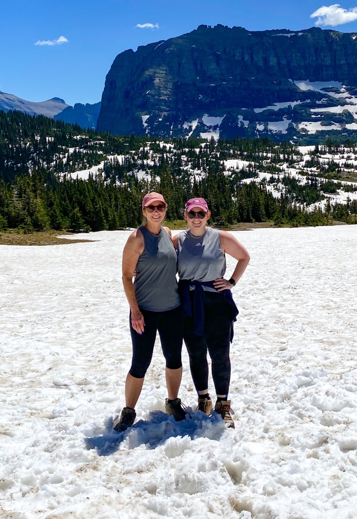
The two popular hikes at Logan Pass are the Hidden Lake Trail and the Highline Trail. Unfortunately, the Highline Trail – the trail you can hike all the way to an overlook of Grinnell Glacier – was closed due to snow hazards while we were there. I had only wanted to hike the first mile or so to the Garden Wall, where you hike along the mountain side with the valley right below you. The other hike, Hidden Lake, had snow hazards but people were still hiking out there. We didn’t have the right equipment to handle hiking through snow – crampons and hiking poles, etc. – so we opted to not go.
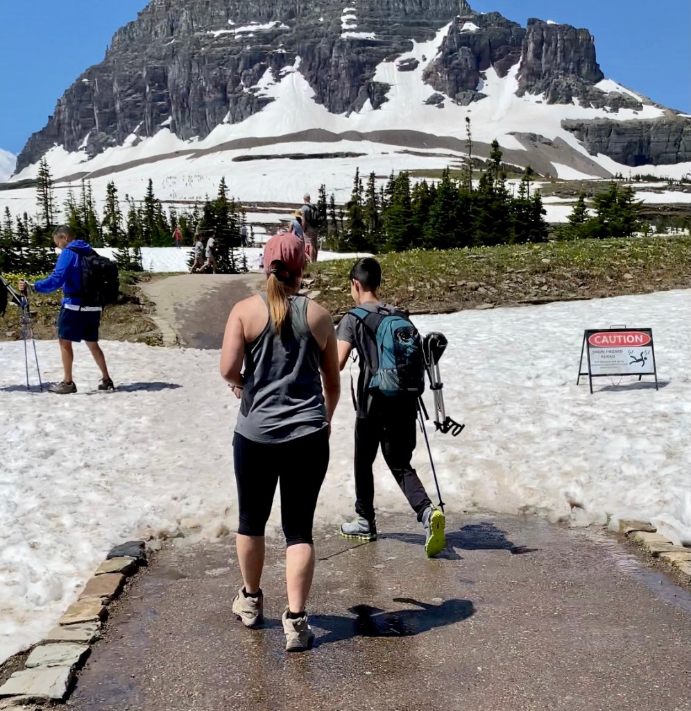
The start of the Hidden Lake Trail – if you click on the picture, you can see all the teeny tiny people hiking up that snow-covered mountain in the background 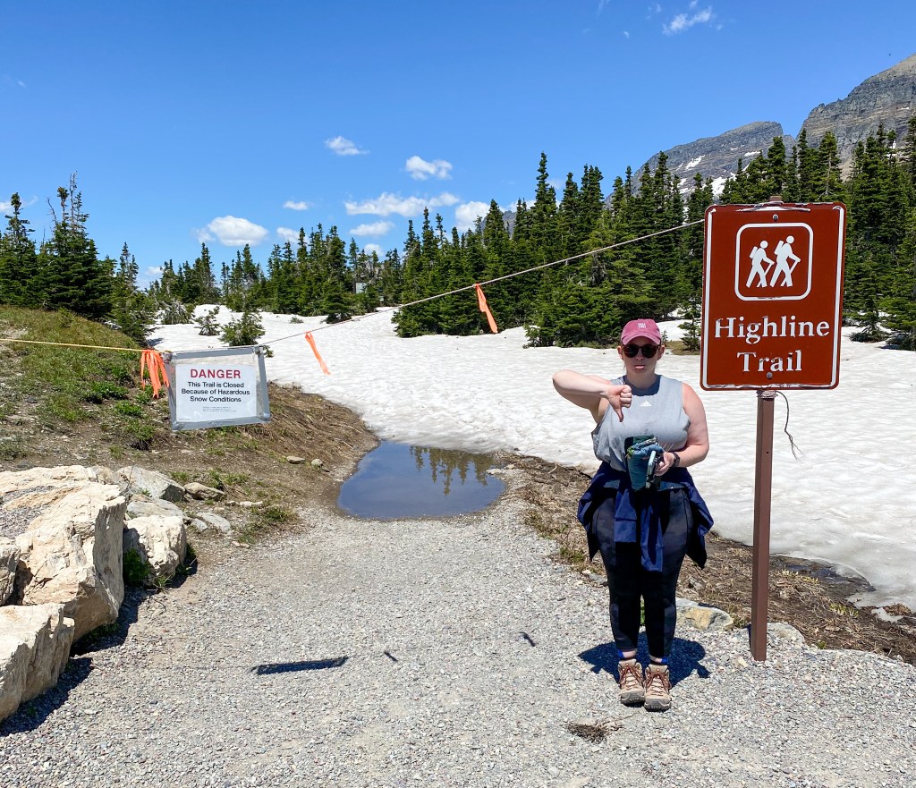
Highline Trail closed
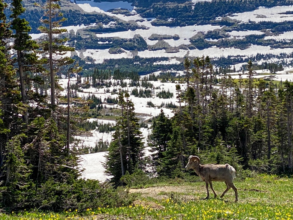
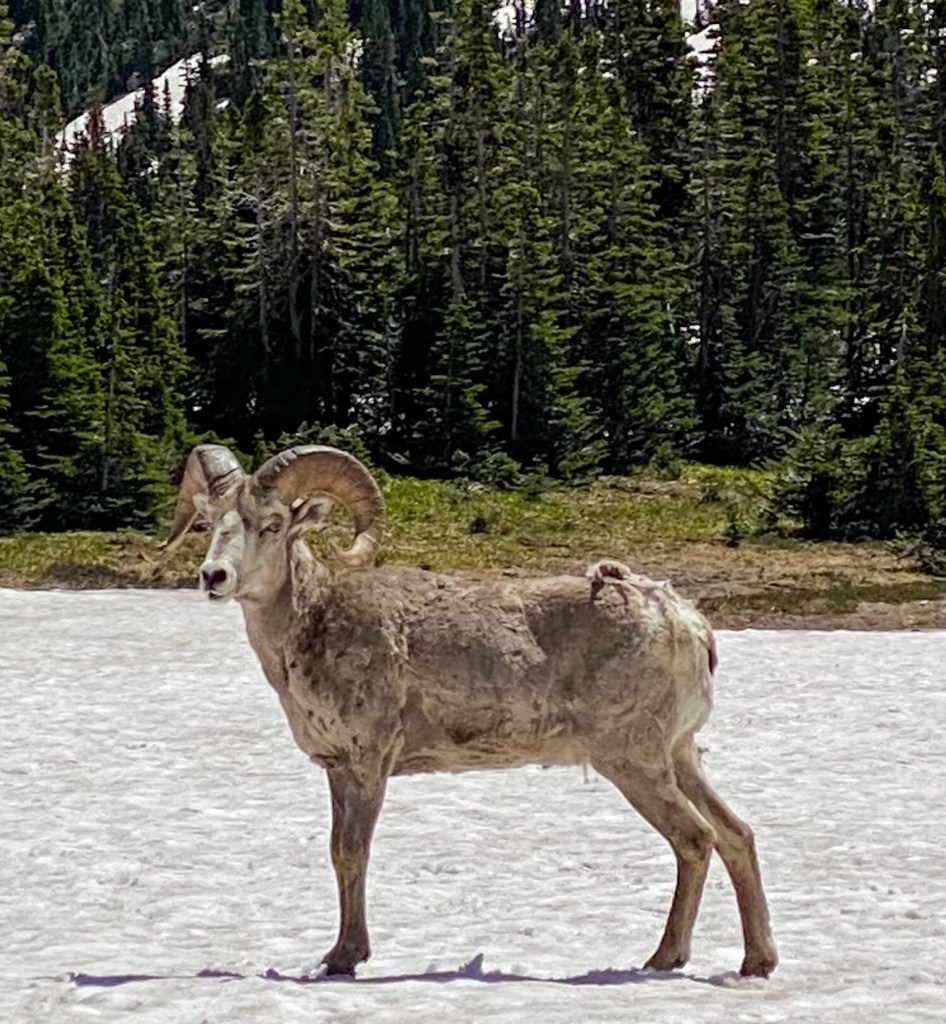
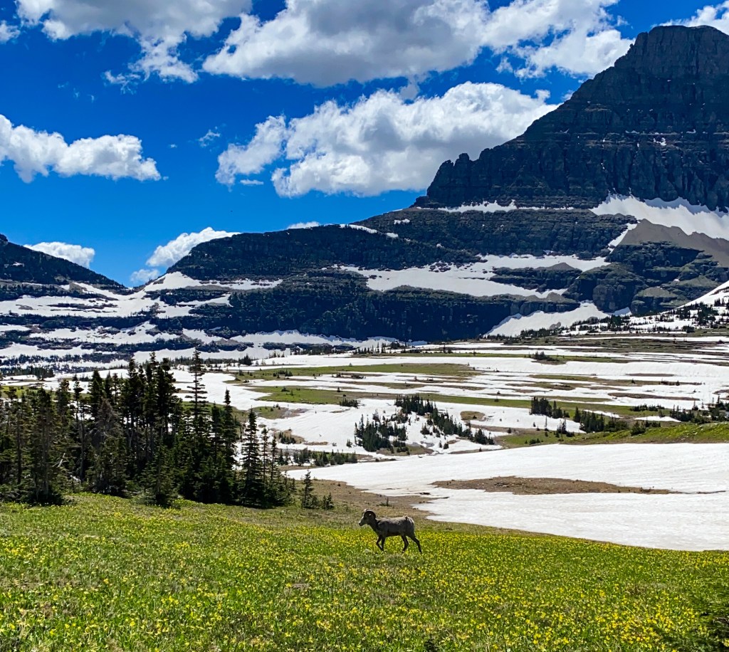
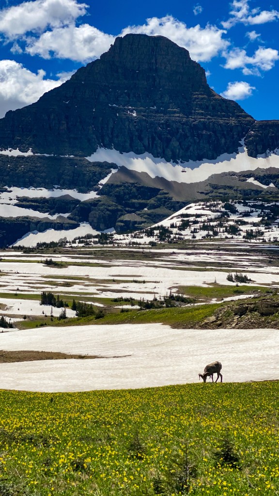
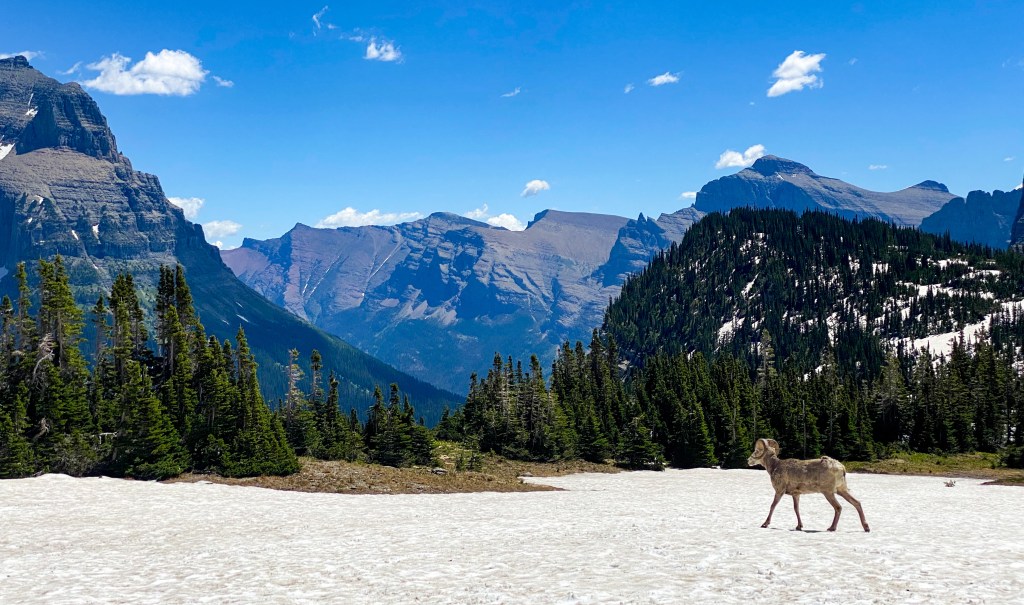
Logan Pass was also the place where we saw our first Bighorn Sheep! It was wild watching this animal walk across the snow with wildflowers in the front and snow-capped mountains in the back. Enjoy these 6 pictures because I couldn’t narrow them down any further.
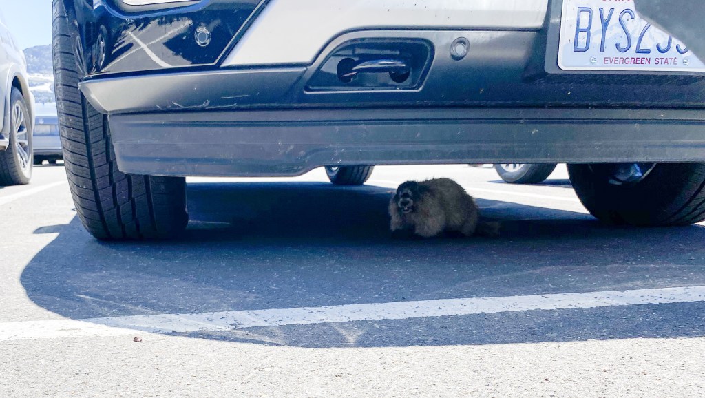
On our way back to our car, we started hearing a sort of cry coming from under the car in front of us. We found a lone marmot stuck under there! Worried for its safety, we called a park ranger over to alert her of the situation, and she told us that she believed this was the same marmot they’d tracked earlier that hitched a ride up to Logan Pass in someone’s undercarriage, so she thanked us for telling her and said they’re going to work on relocating the animal back to where it should be.
After helping our furry friend, we were back on the road. We stopped soon after at Oberlin Bend. While the actual overlook was closed for maintenance, we walked a little ways down the road for the same views of the GTSR and the Highline Trail cutting through the mountain wall, as well as the mountain range that stretches all the way to Canada.
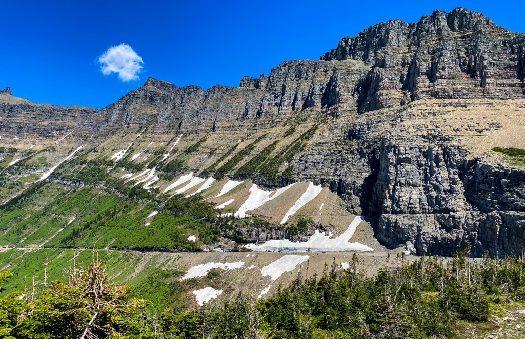
The indent in the wall about a fourth of the way up the mountain is the Highline Trail. Right below that is the Going-to-the-Sun Road 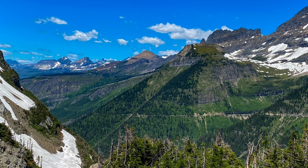
You can see the road cutting through the mountains in the middle and the range going as far back as you can see
The next point of interest also isn’t a stop as much as an experience – The Weeping Wall. The waterfall is caused by snow runoff, so in the summer your car will get a nice bath, but by the close of the season in September, the wall will be a small trickle. Before driving by the Wall, though, we stopped to take in Big Bend.
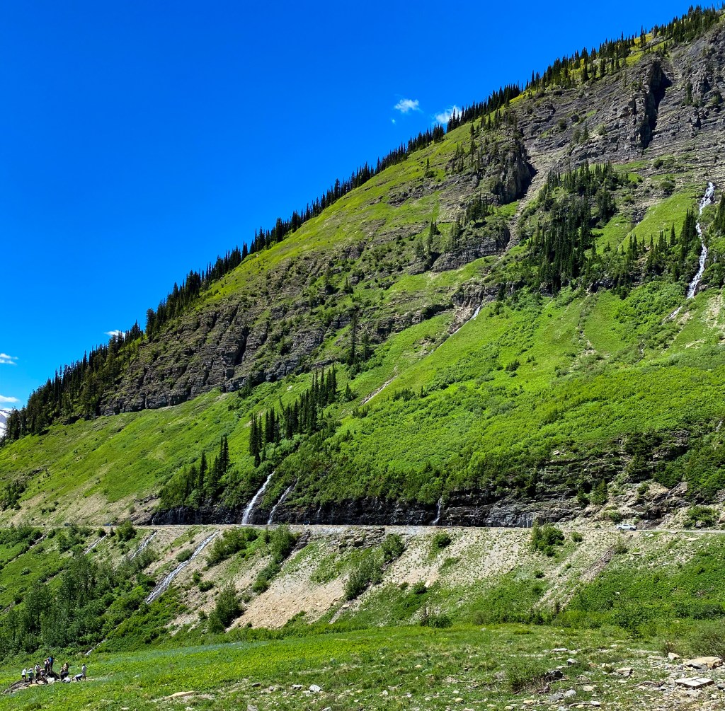
Across from the Weeping Wall 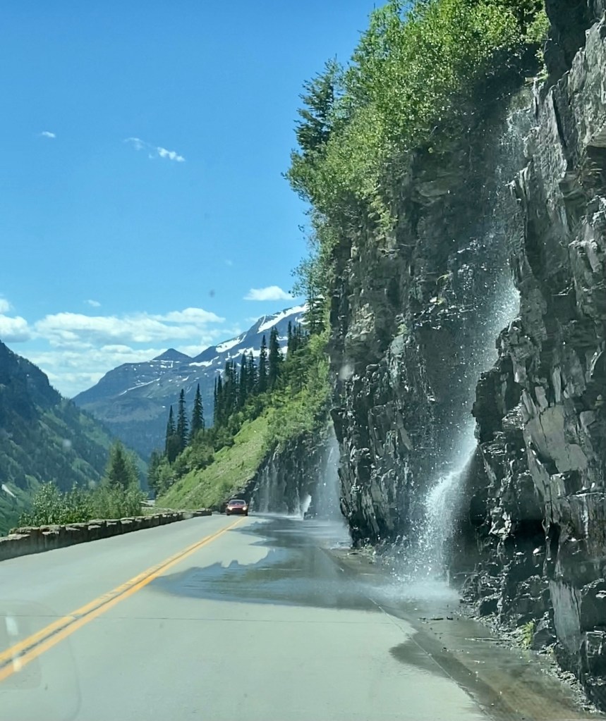
Driving through it! 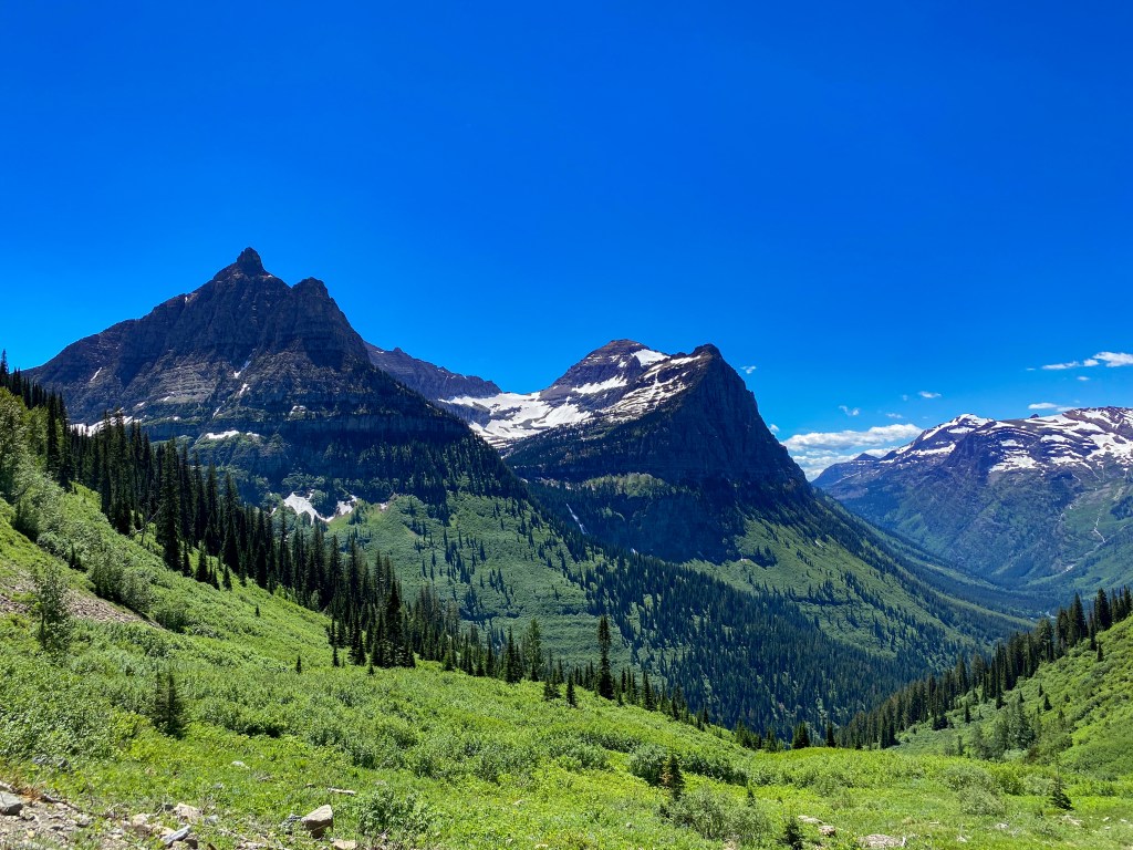
The view from Big Bend
Haystack Falls was the next roadside waterfall we came across, followed by Bird Woman Falls from a distance. But before that, I got a great picture of Glacier’s famous Red Jammers driving past Haystack Falls – these 1936 tour buses are some of the oldest National Park tour vehicles still in operation today.
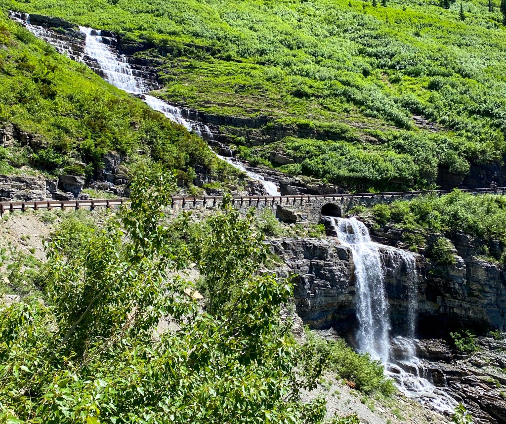
Haystack Falls 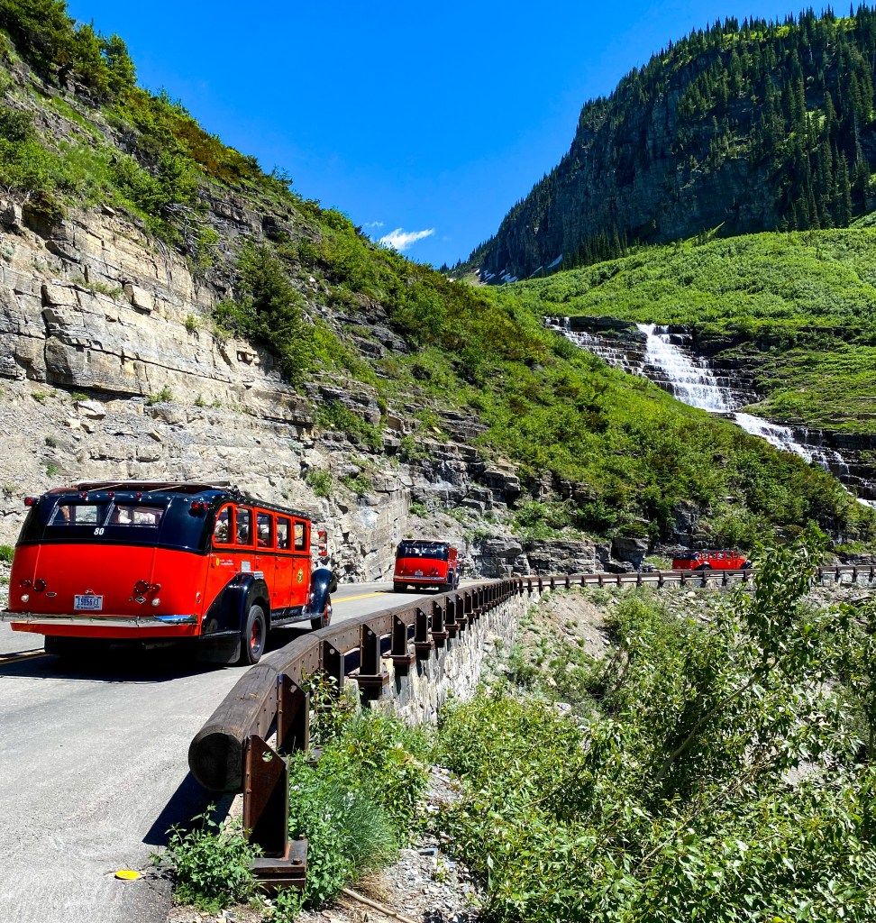
The Red Jammers 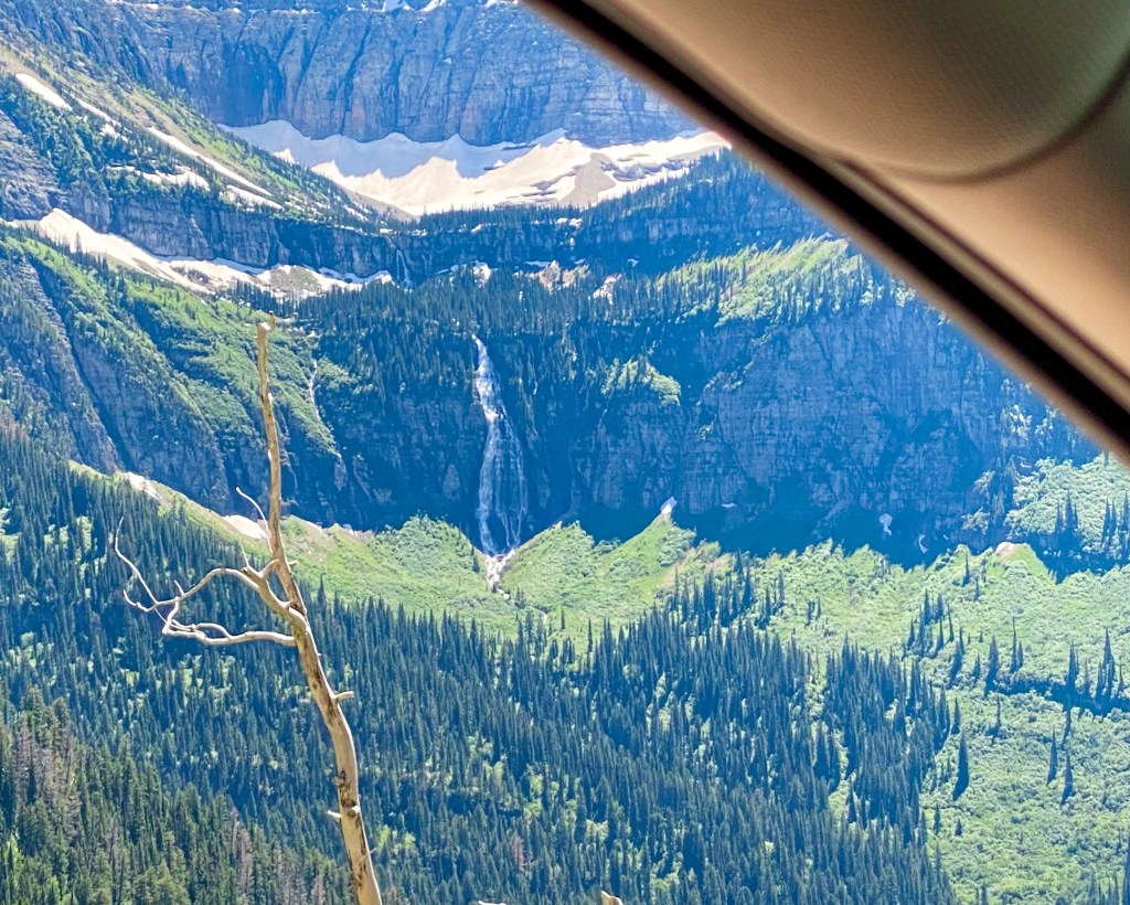
Bird Woman Falls
The next part of the road is called “The Loop”, an area named for GTSR’s only hairpin turn. The parking lot is rather small, so expect parking to be full in the middle of the day. This stop gives you excellent views of Heaven’s Peak, one of the highest peaks in the park at 8,987 ft. The Loop is also an ending point for the Highline Trail and a trailhead for access to the Granite Park Chalet, one of the park’s chalet’s that’s only accessible by trail.
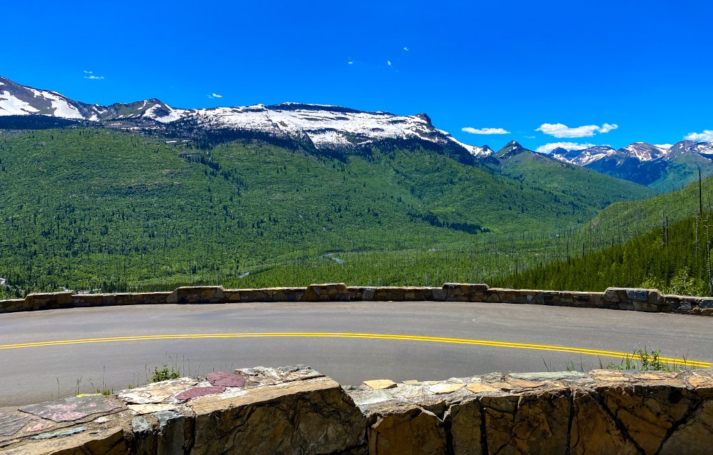
The view from The Loop parking area 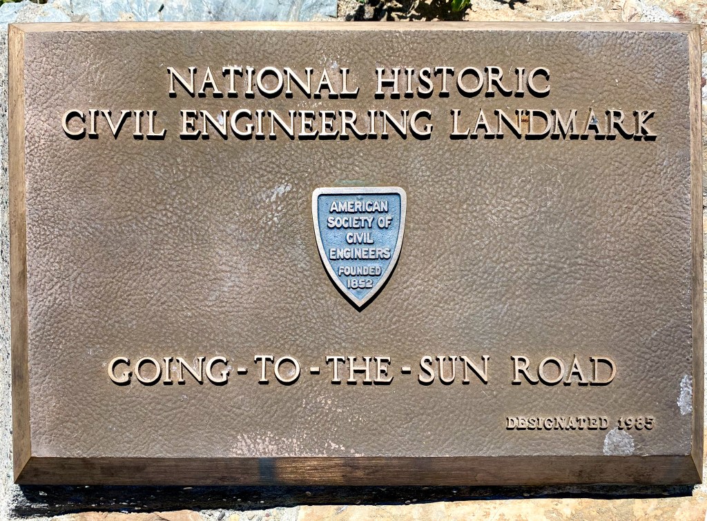
Plaque commemorating the engineering feat that is The Loop and the GTSR 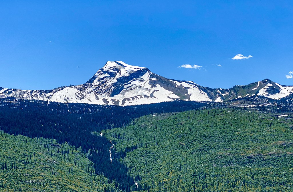
Heaven’s Peak
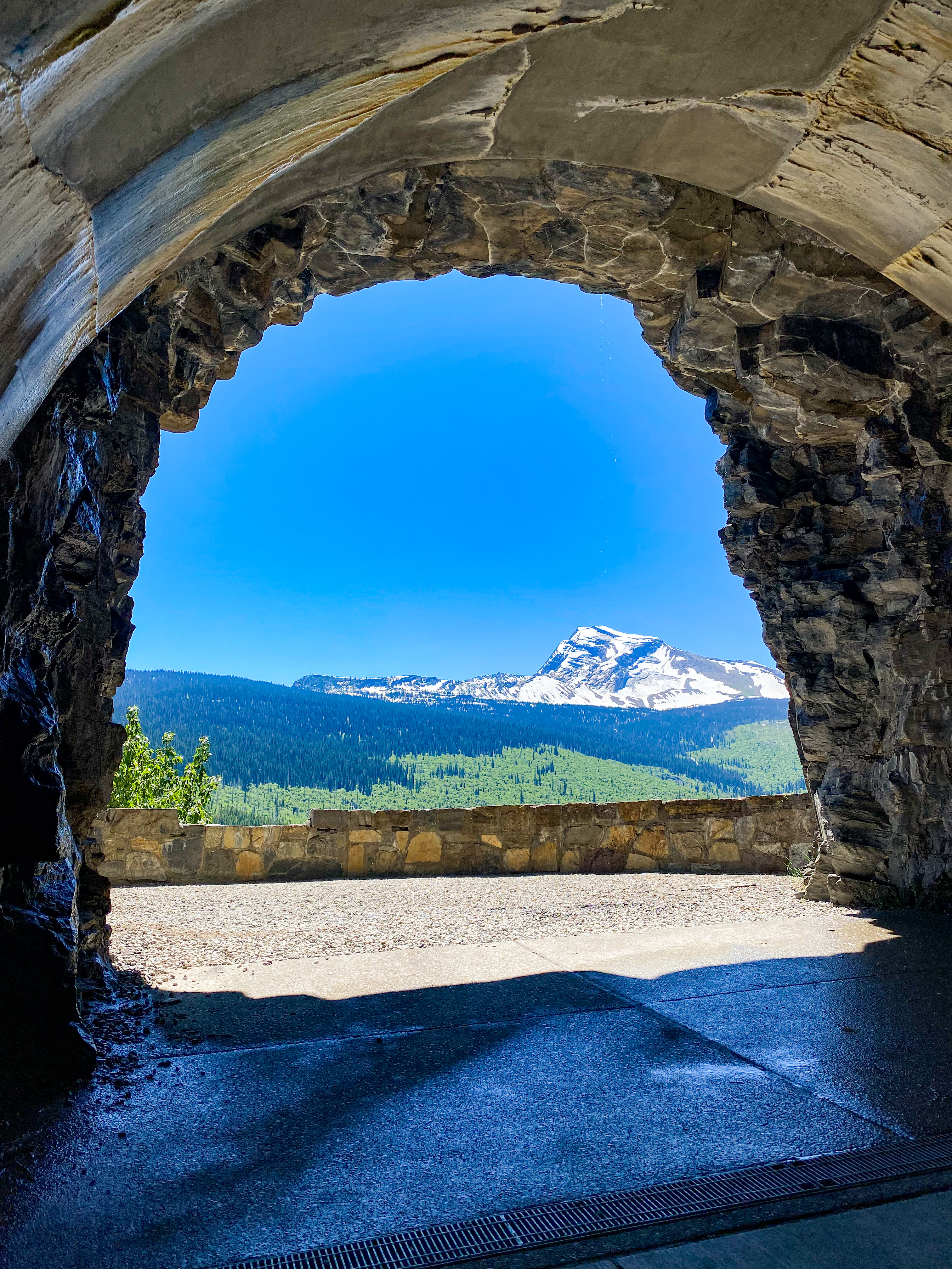
Arguably, the better view of Heaven’s Peak can be seen a little down the road through the West Tunnel window. We didn’t stop to take in the view, but there’s pullovers on either side of the tunnel where you can park and walk through the tunnel to the window.
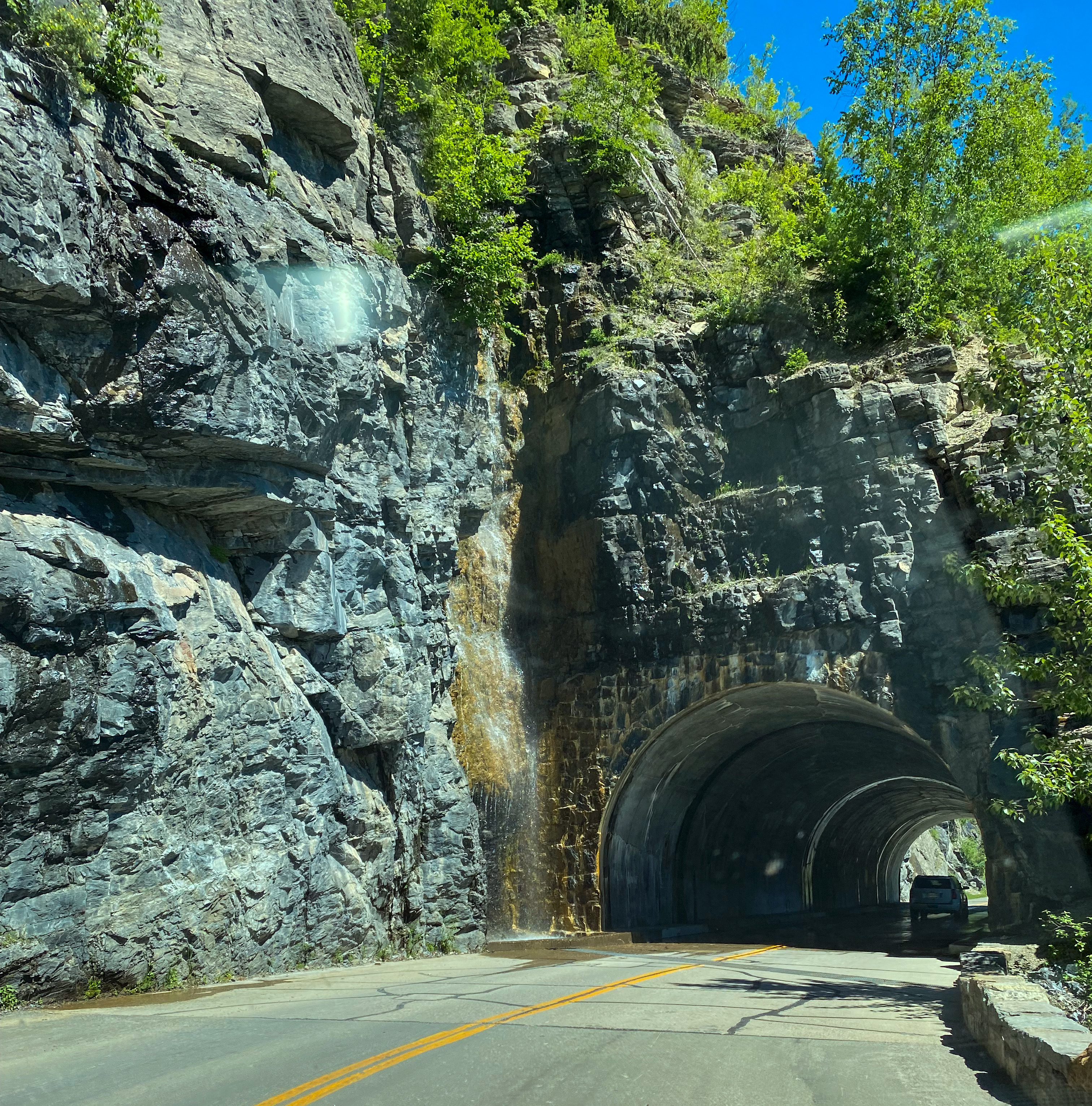
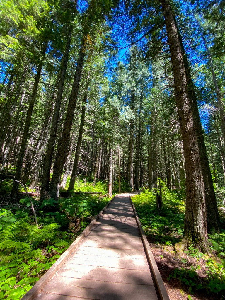
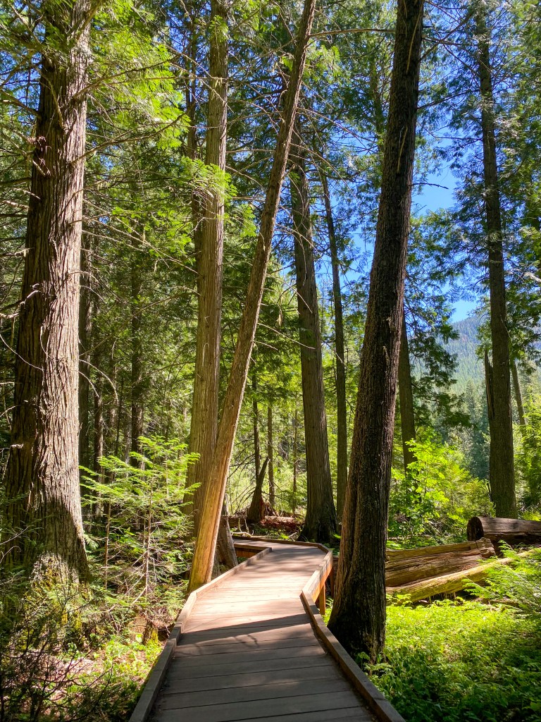
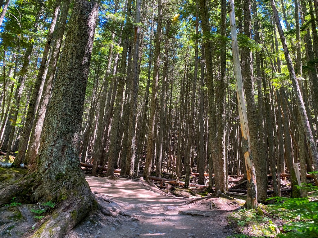
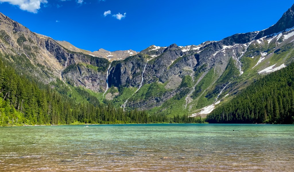
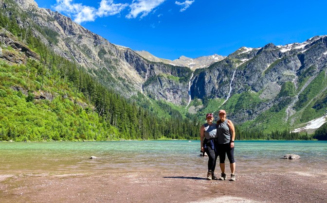
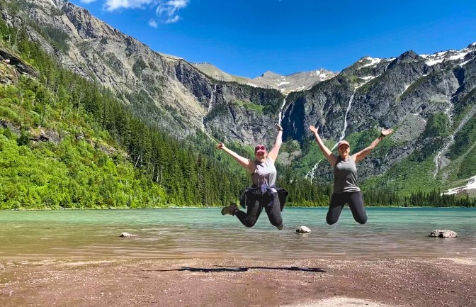
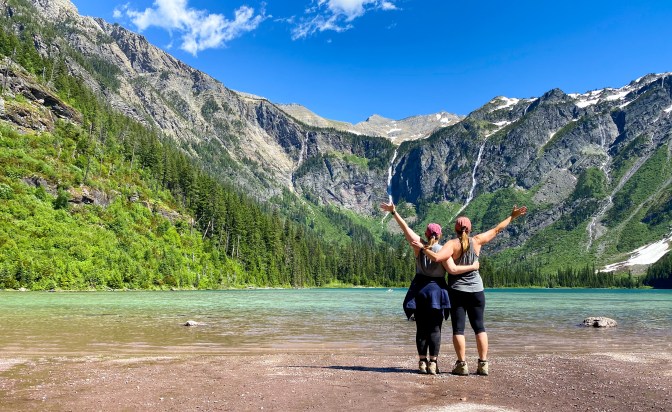
By 3 pm, we’ve finally made it to Avalanche Creek area, home to the very popular hikes – Trail of the Cedars and Avalanche Lake Trail. Parking is hard to find here, especially in the middle of the afternoon, so don’t be afraid to loop around the parking lots a few times or have an eye out for brake lights turning on! If you’re looking for a short, shaded trail, the Trail of the Cedars is a 1 mile roundtrip boardwalk hike through giant red cedars and western hemlocks. At about the halfway point is the junction to hike up to Avalanche Lake. It’s only a 1.6 mile hike from that point to the lake, uphill most of the way. The views are worth it, though!
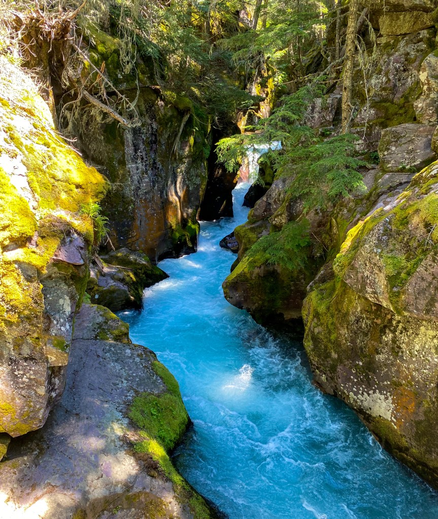
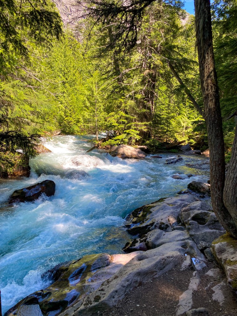
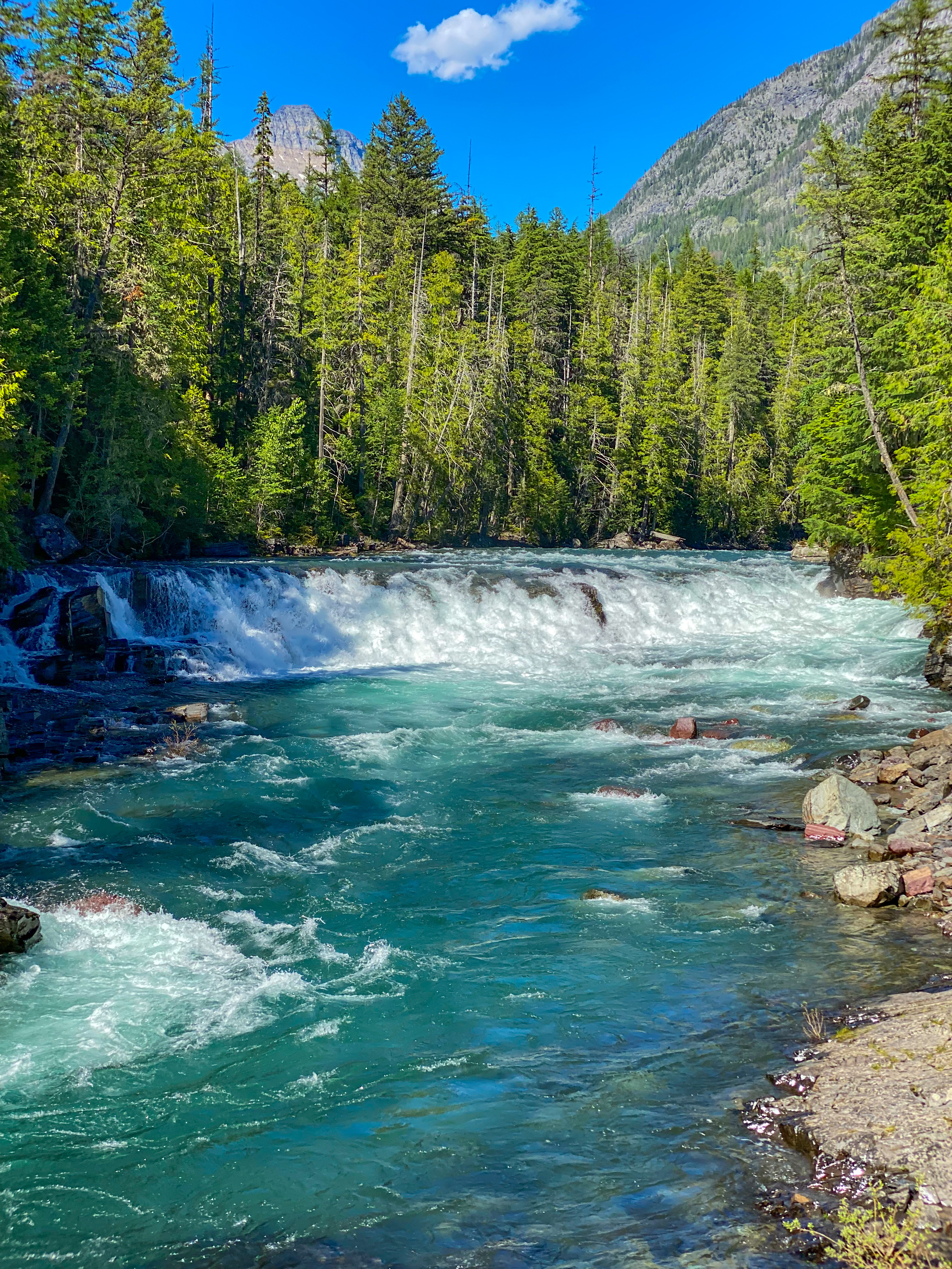
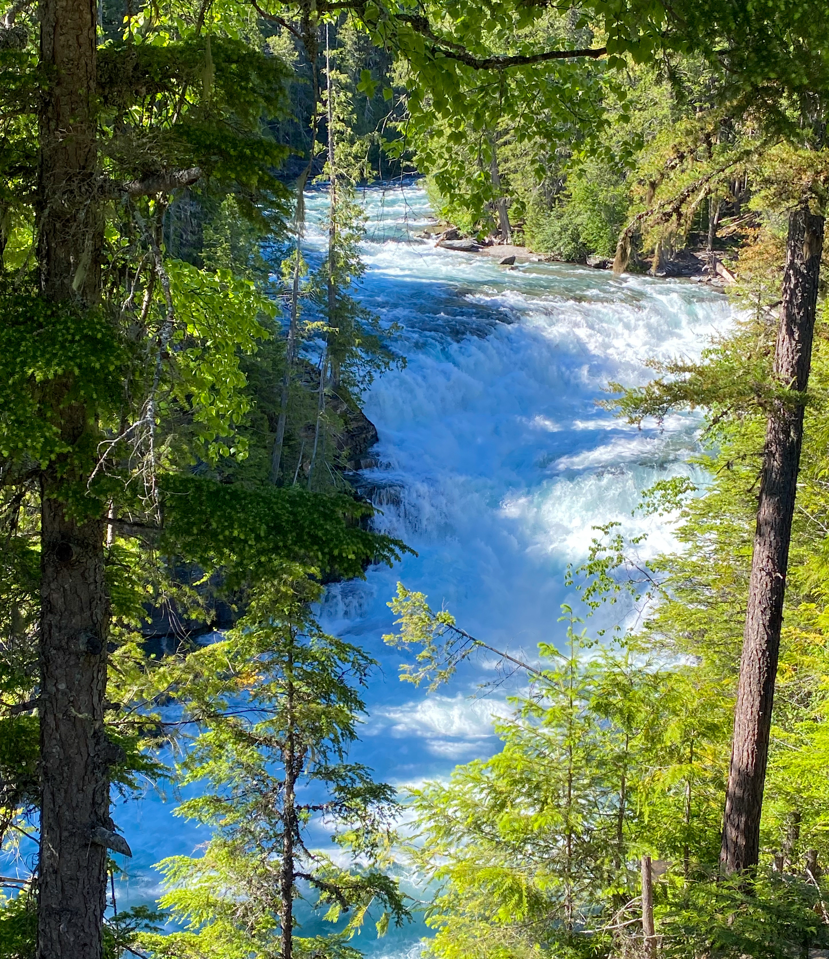
The next two stops were along the McDonald Creek on our way to Lake McDonald – Sacred Dancing Cascades (left) and McDonald Falls (right).
We arrived at the Lake McDonald Lodge before heading out back to board our boat tour of Lake McDonald. The large-scale Swiss chalet lodge was built in 1913 and became a National Historic Landmark in 1987 and is a member of the Historic Hotels of America, joining most of the park lodges we’ve visited this trip. The most eye-catching feature is the giant fireplace – we could actually smell it before we saw it.
The boat tour was a great way to end our trip – a nice relaxing ride around one of Glacier’s beautiful, clear lakes. Lake McDonald is actually Glacier’s largest lake at 10 miles long, 1.5 miles wide, and 464 ft deep. At 7 pm, I highly suggest having sunglasses and a hat or something with a brim – the sun was shining bright this day. Take in the beautiful surrounding mountains – the far side is the Howe Ridge, which suffered from a fire in 2018 caused by a thunderstorm; the opposite is Snyder Ridge – some of the mountains in between are Mount Cannon, Mount Brown, Little Matterhorn, and Stanton Mountain.
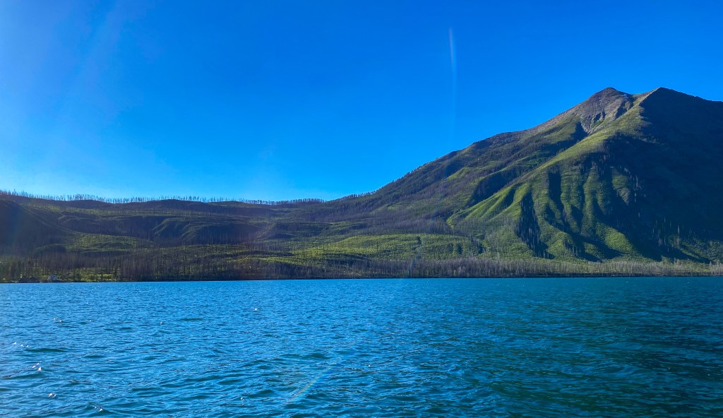
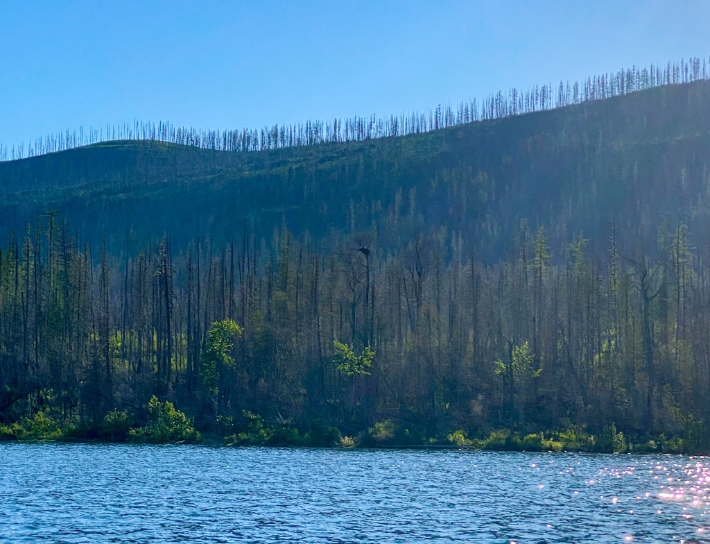
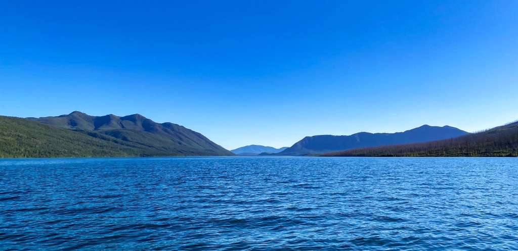
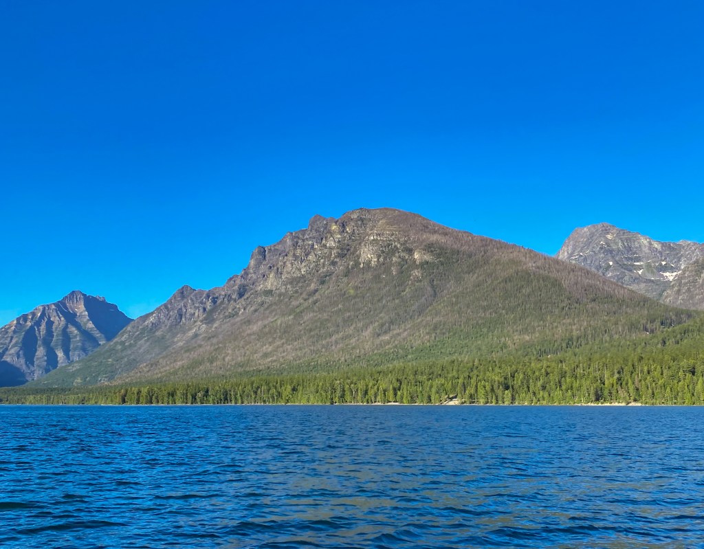
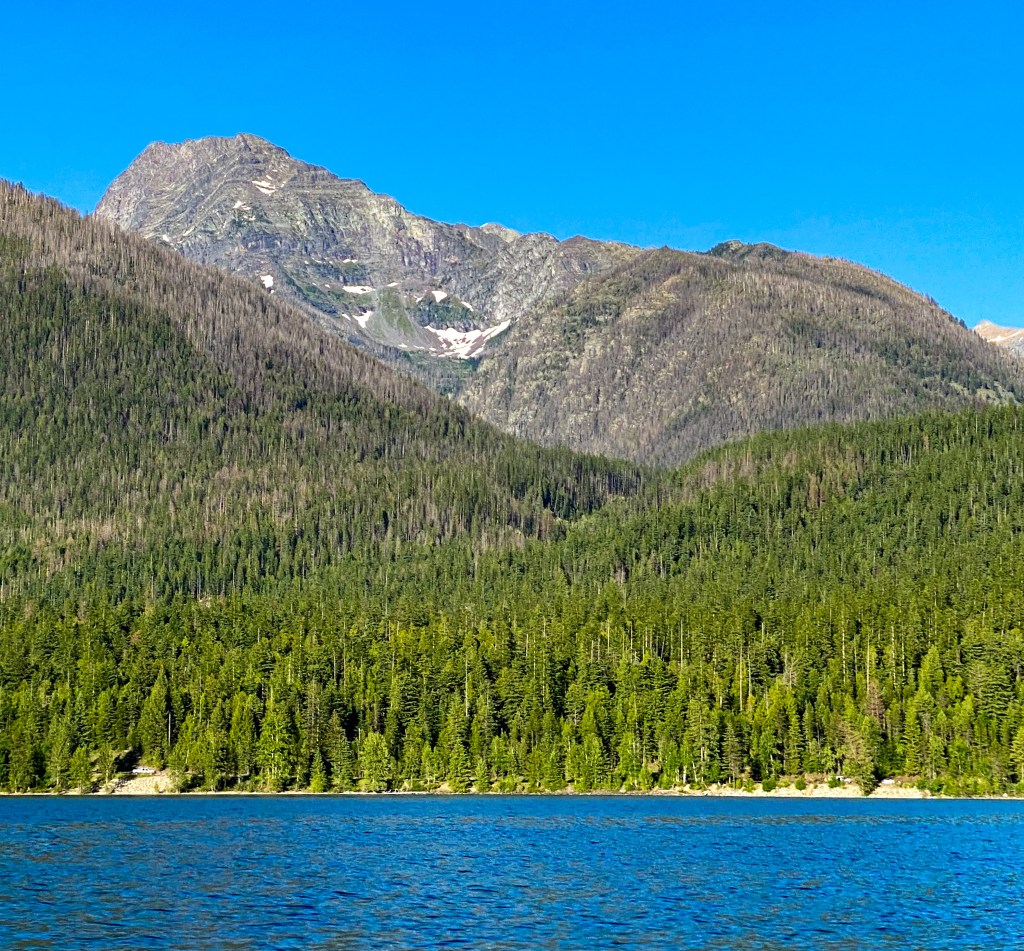
Last stop was Apgar Village, where we went to our last park general store to buy the remaining souvenirs from our list. An evening stroll down the banks of Lake McDonald was the cherry on top to an amazing trip.
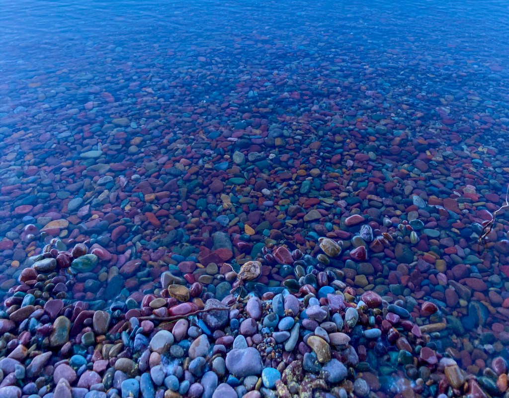
The infamous Lake McDonald colorful rocks 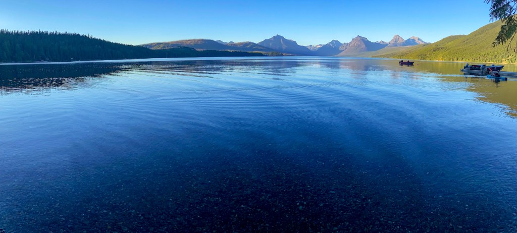
We headed out of the park to spend the night in Whitehall at the lovely Best Western Rocky Mountain Lodge. The next morning, it was time to return our rental car, board our flight in Kalispell, and head home. This trip was just as amazing as the last, and I can’t wait to see what the next one brings. Until next year!
MILES HIKED: 6.7 miles (Day One) & 14.5 miles (Day Two)
STEPS TAKEN: 16,948 (Day One) & 35,831 (Day Two)
# OF NATIONAL PARKS NOW VISITED: 12


