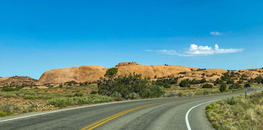
Park No. 2 – Canyonlands. We’re still in Moab, Utah, but instead of 10 minutes down the road, Canyonlands is about 45 minutes away. Not super ideal when you’re trying to get up and out there by sunrise, but we persist! As we drive into Canyonlands, we realize how different this park is from Arches just miles down the road.
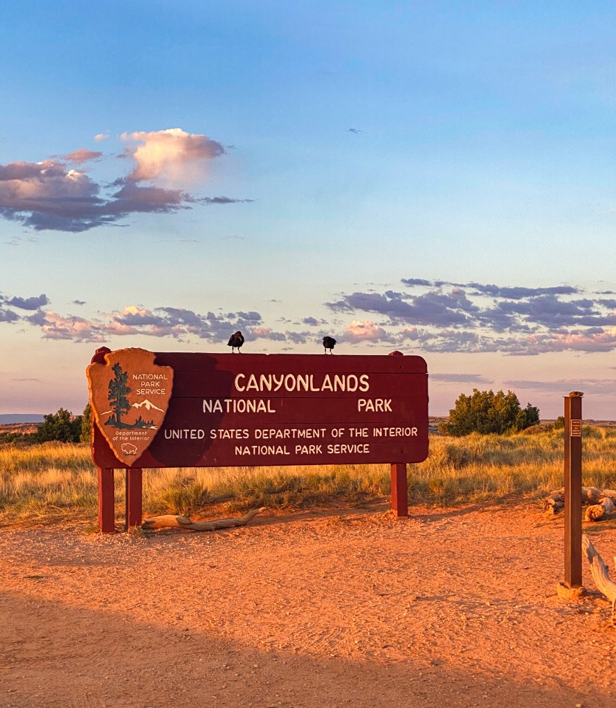
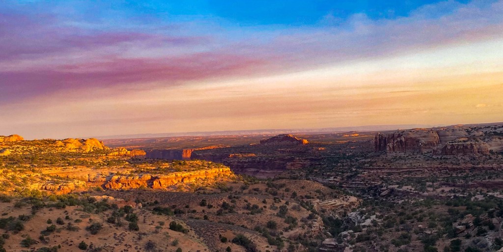
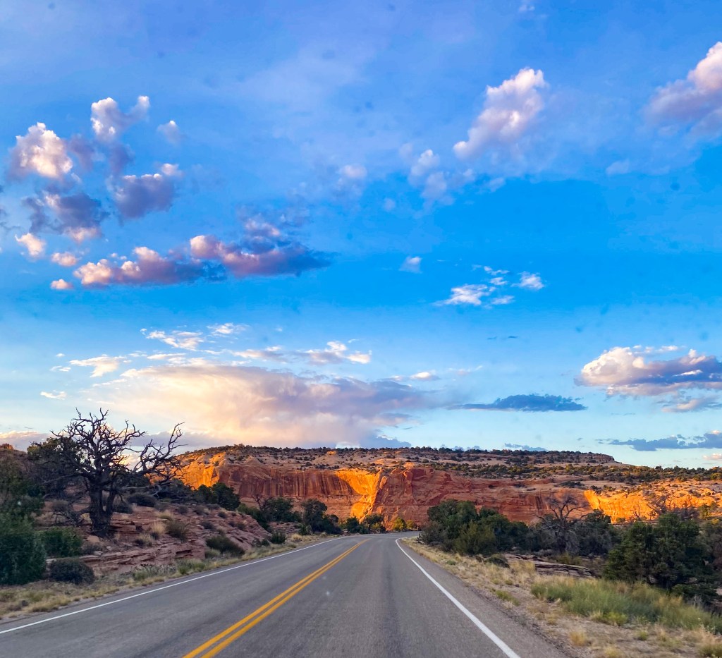
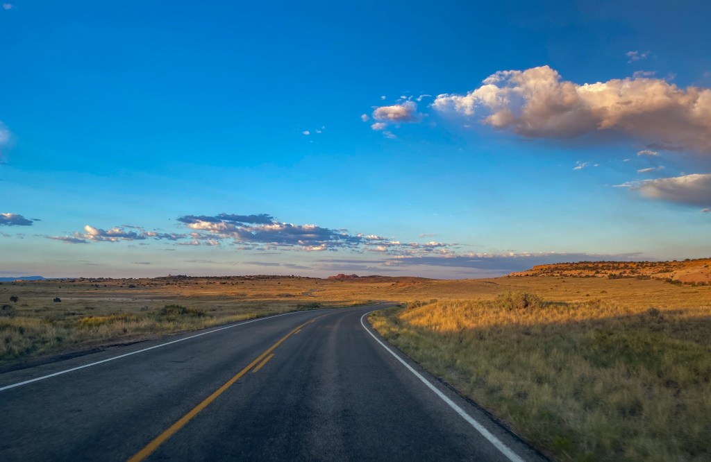
So different from Arches
Our first stop is the Mesa Arch – one of the most famous and busiest locations in Canyonlands at sunrise. Sometimes there can be 50+ photographers out there waiting to catch the perfect shot of the sun rising over the horizon, poking through the arch. Now, I’m no photographer, but I think I did a pretty good job.
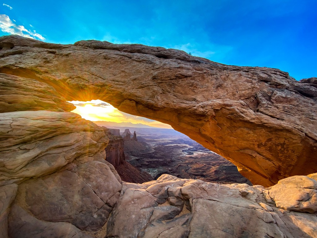
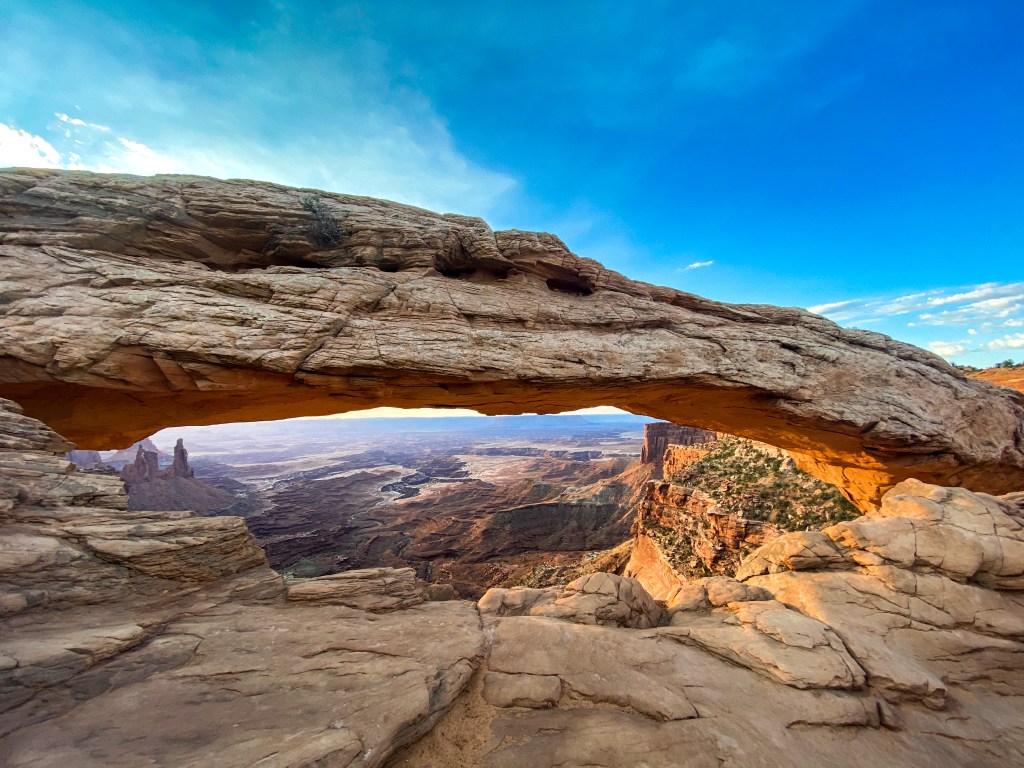
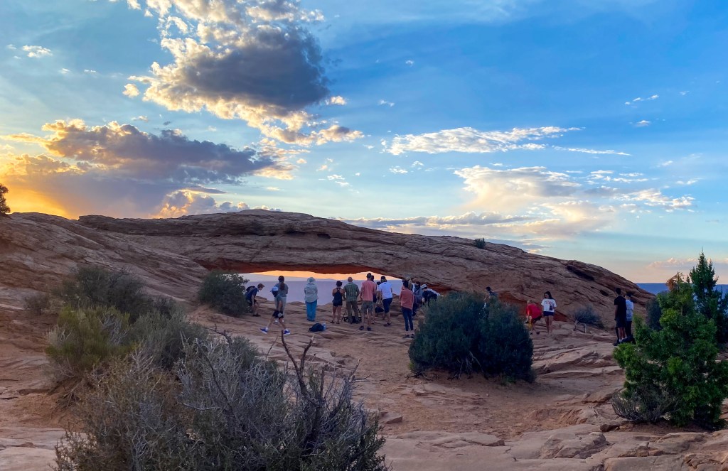
Pretty crowded for 6:30am 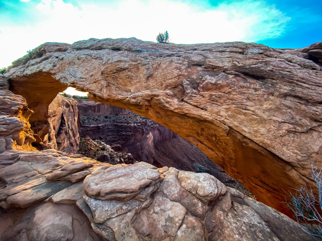
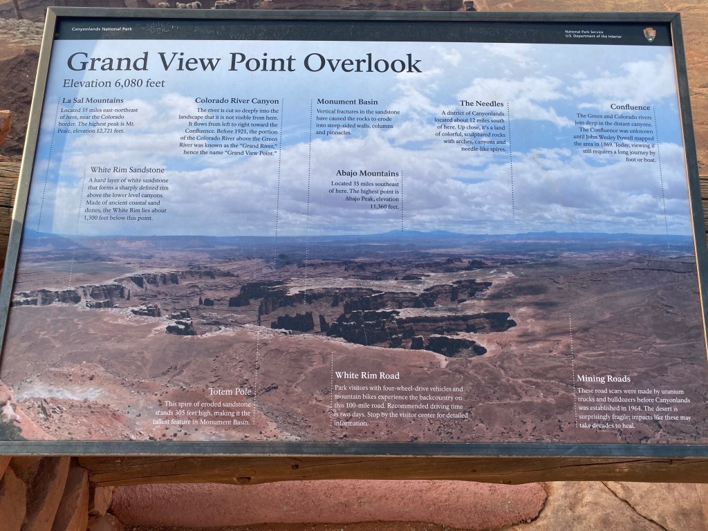
It was weird being done with our first hike before 7am (the hike to Mesa Arch was 0.5 miles round trip so makes sense!). We made our way to the next viewpoint – Grand View. This viewpoint overlooks the Colorado River Canyon and so much more! Monument Basin, Totem Pole (the tallest feature in Monument Basin), Abajo Mountains in the background, old mining road left over before the park officially became a National Park, the White Rim Road (only 4WDs can take this 100 mile road weaving through the Island in the Sky District of Canyonlands – the district we visited today), and even more!
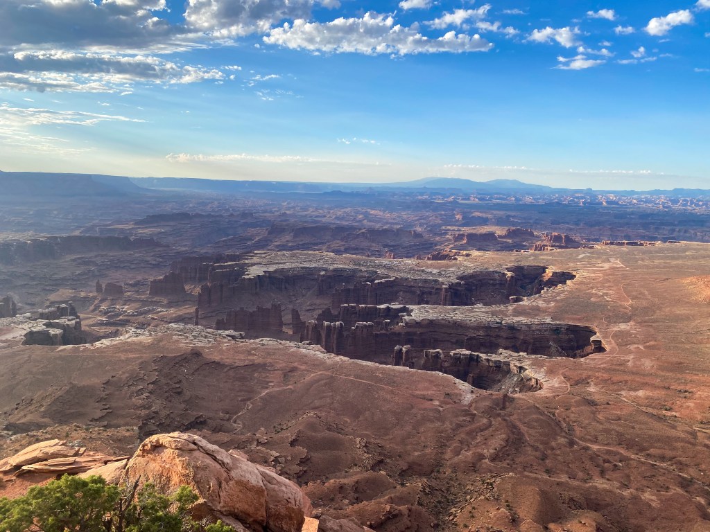
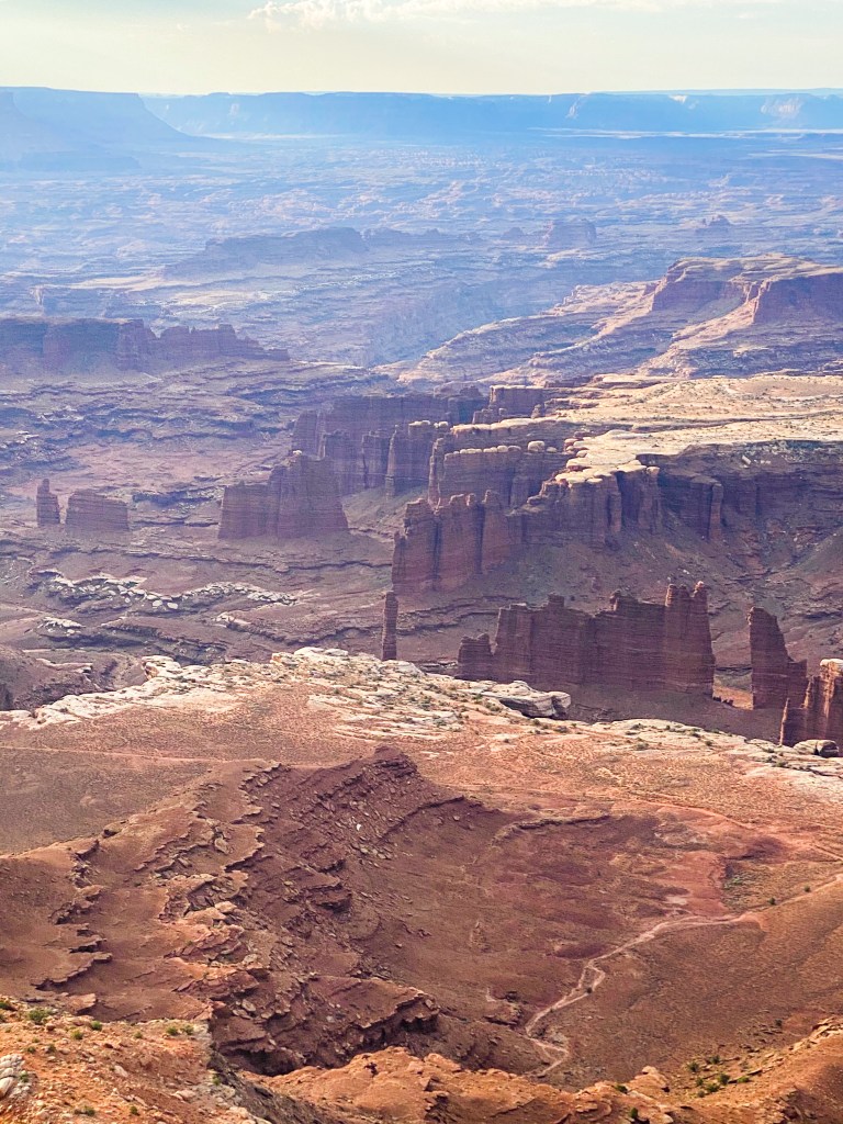
Totem Pole + Monument Basin 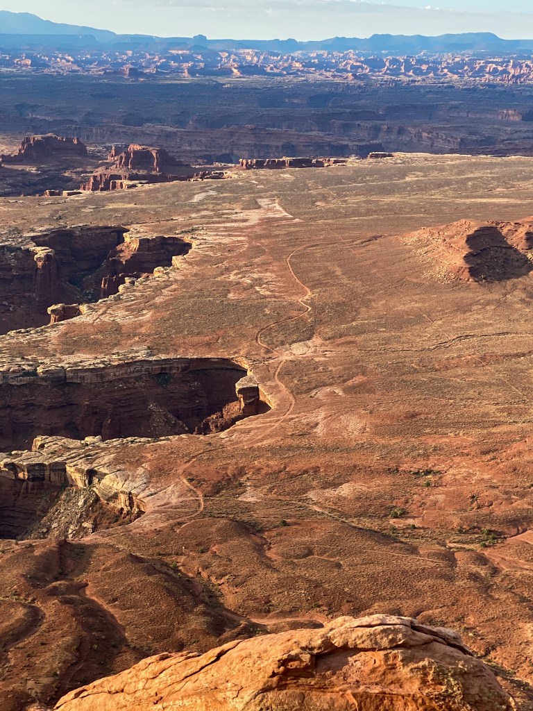
White Rim Road 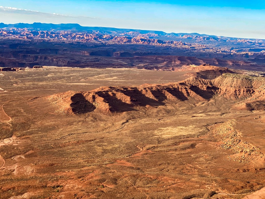
Old mining roads carved into the ground 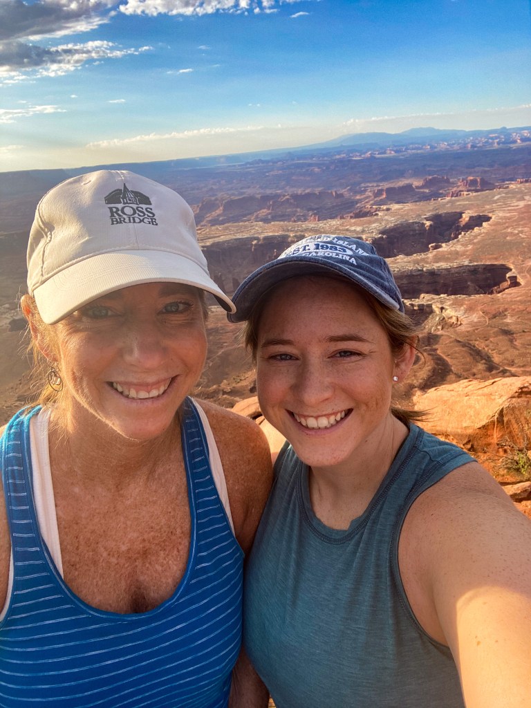
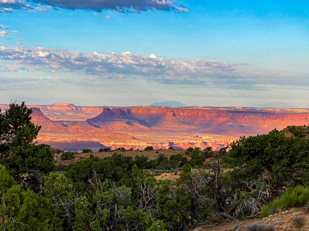
Next, we stopped at the Orange Cliffs Overlook, which were definitely named that for a reason. When the sun hits them in the morning, they’re a gorgeous orange hue that stands out against the blue sky.
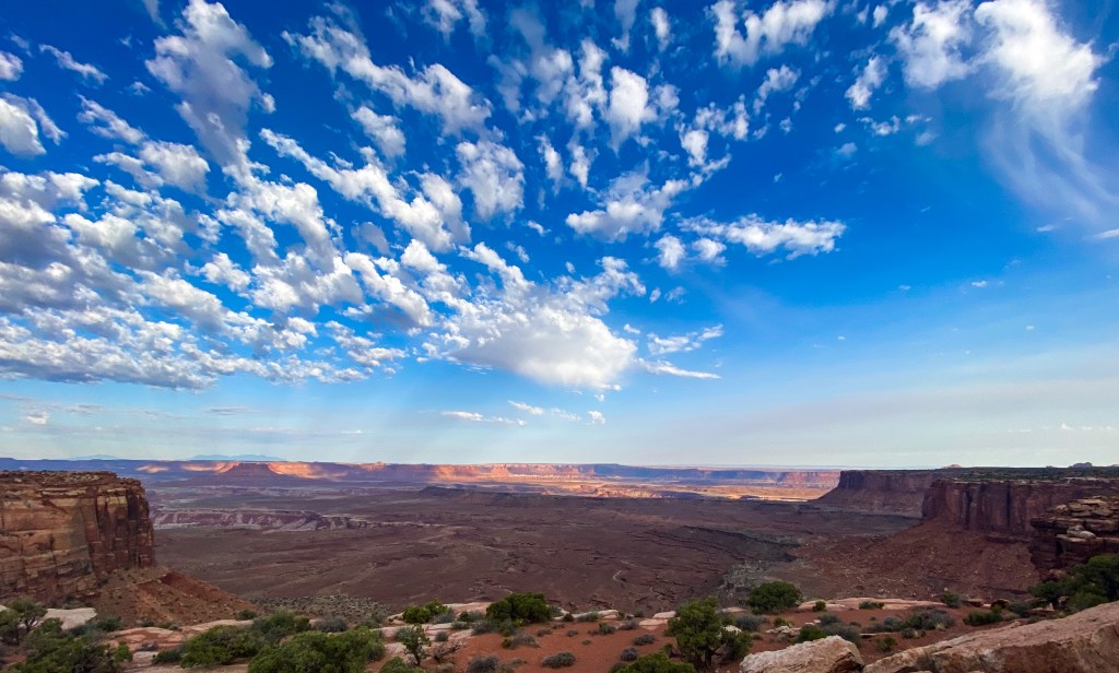
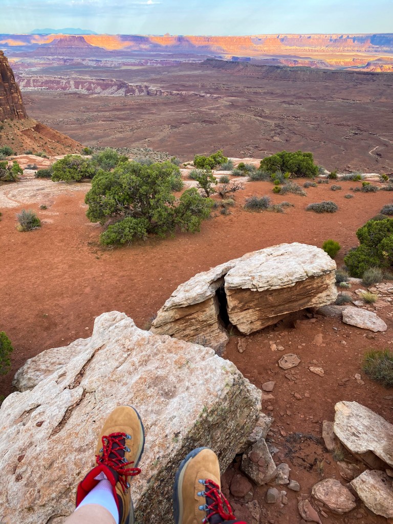
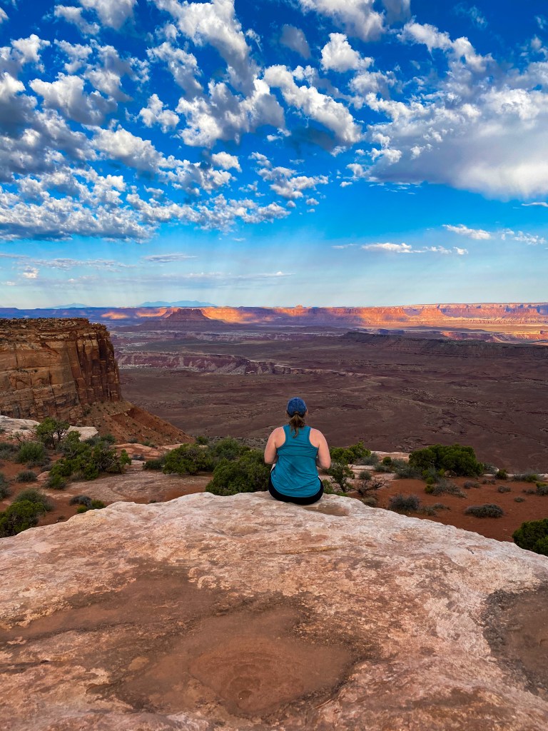
Onto our first hike of the day! The White Rim Overlook trail is a 1.8 mile out and back hike that goes out on a rock plateau to overlook the “White Rim” of both Colorado River Canyon that we saw at the Grand View Point and Buck Canyon (that we’ll see from a different angle next!).
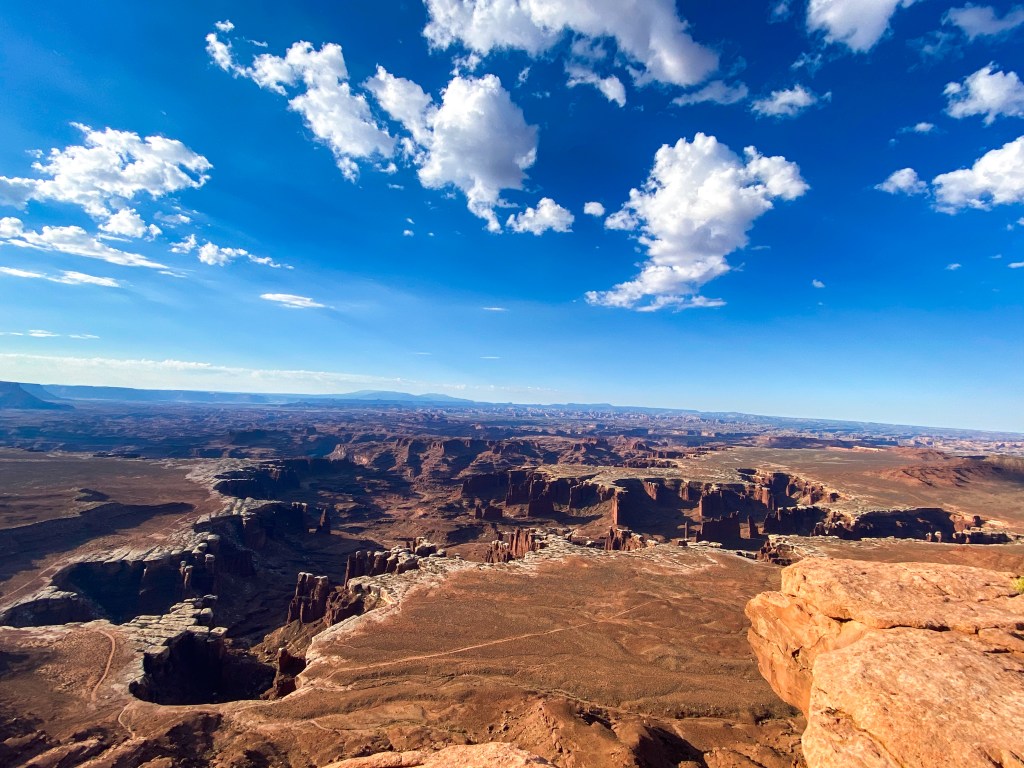
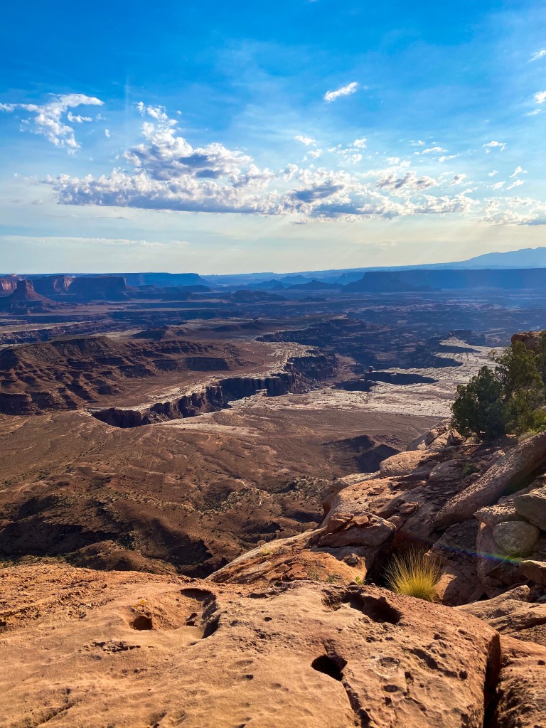
Also, in case you’re asking “But Dani, why is the rim white?” Well, the rims of these canyons are made of white sandstone (made of ancient coastal sand dunes) that is more resistant to erosion, which is why it gives these canyons their distinct rims. The more you know!
And back to more of the hike!
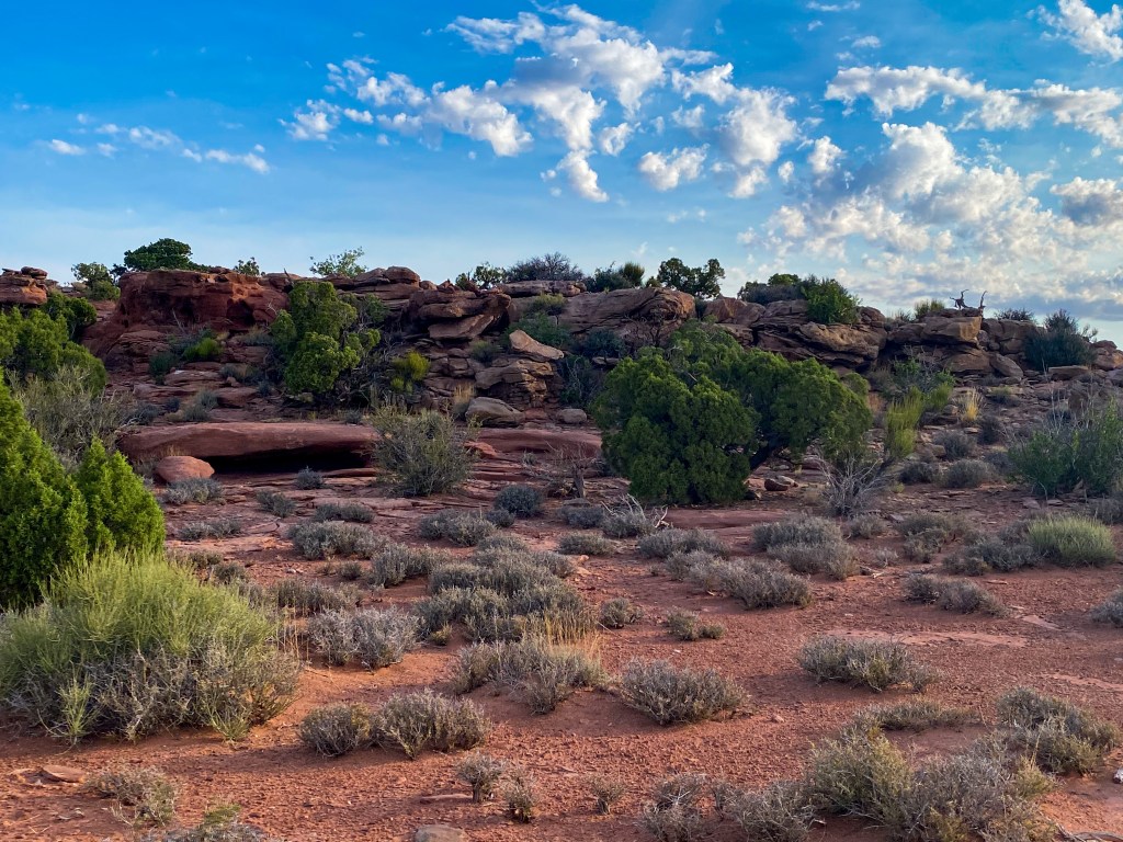
Such different landscape and even plants than Arches 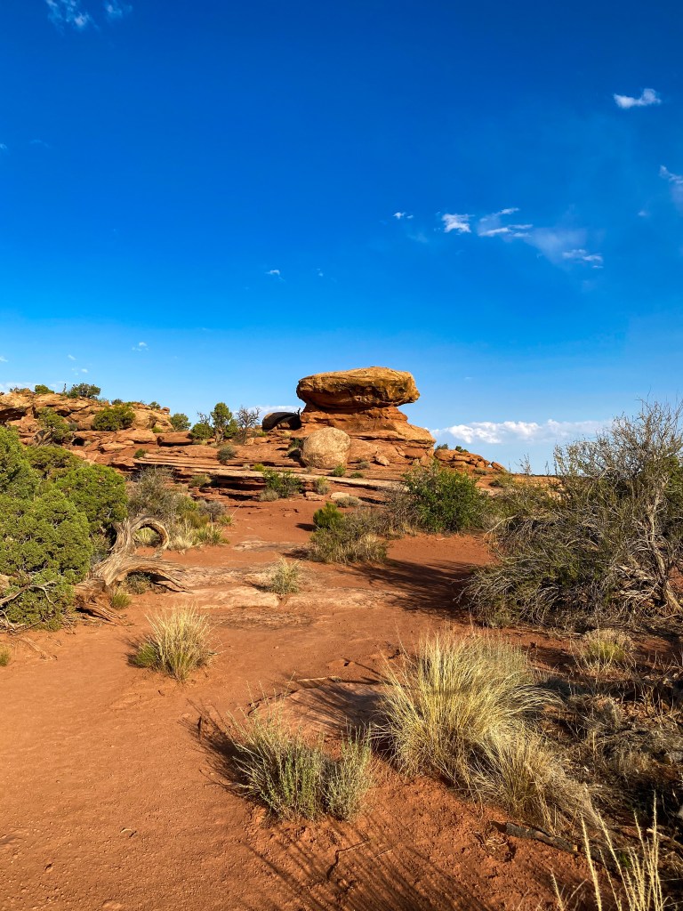
Bunch of rock outcrops 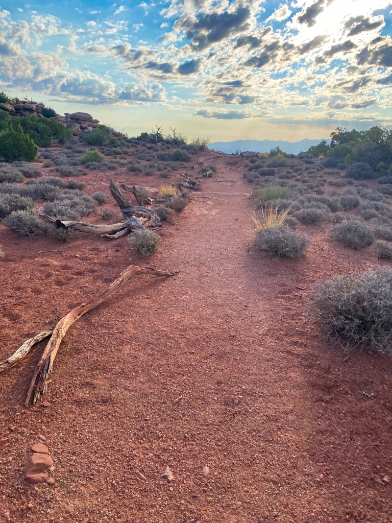
Part of the trail 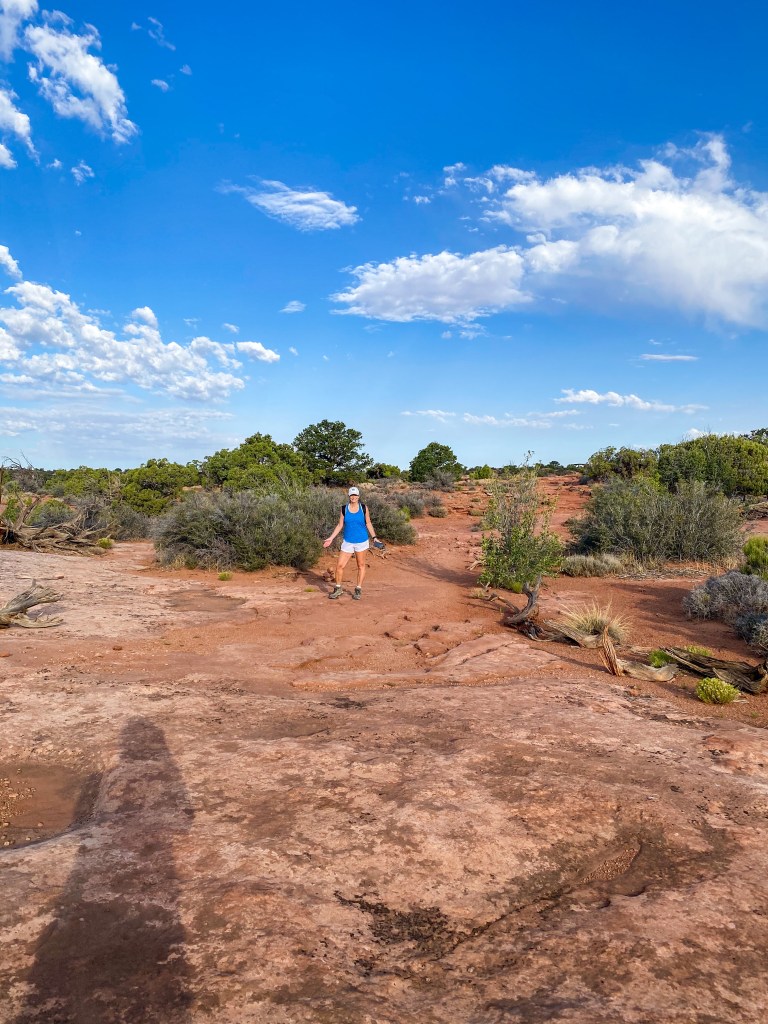
Hi Jill! 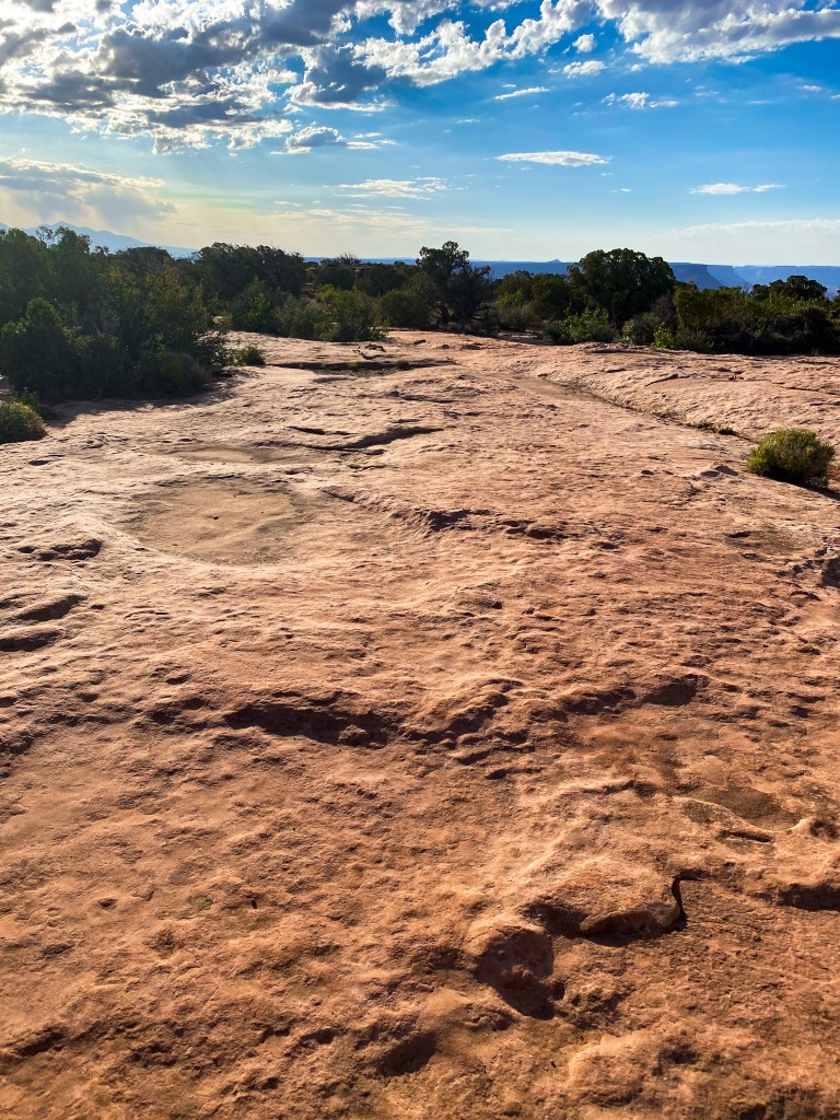
Parts of the trail looked like the surface of the moon 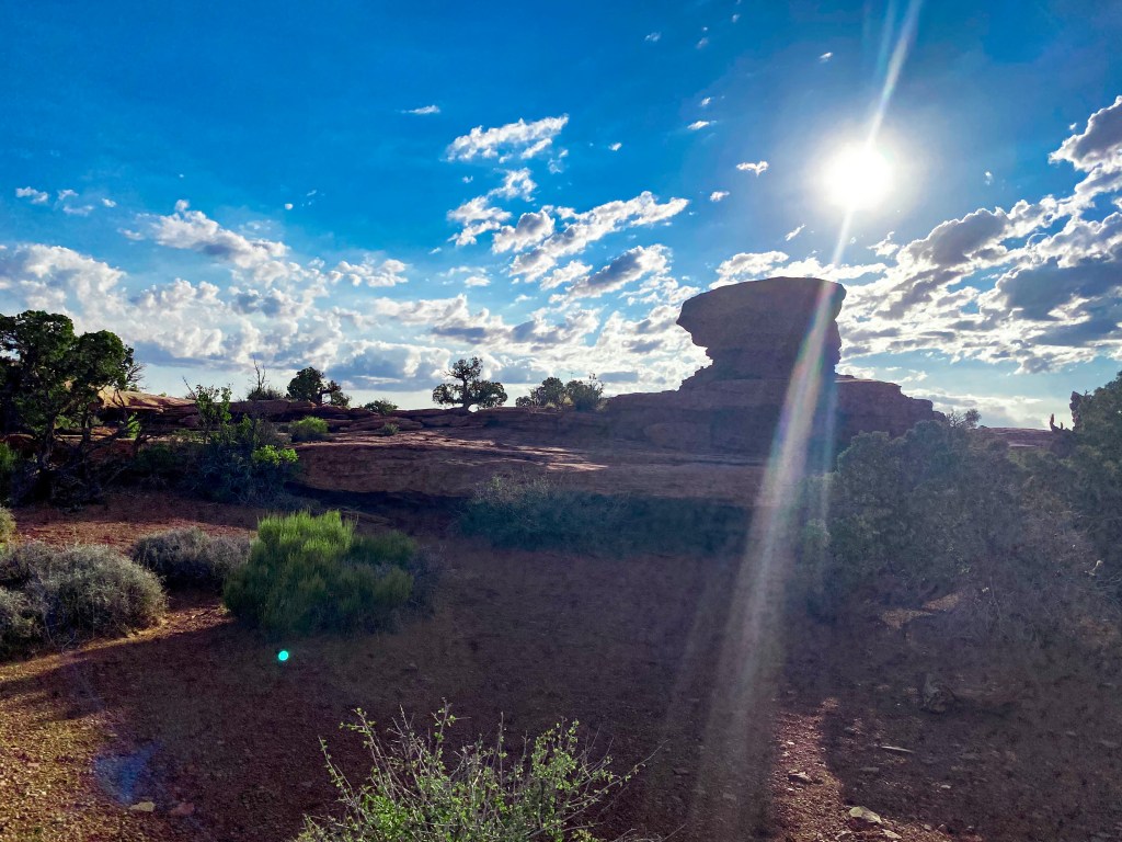
Fun rock outcrop that kind of looked like a spaceship 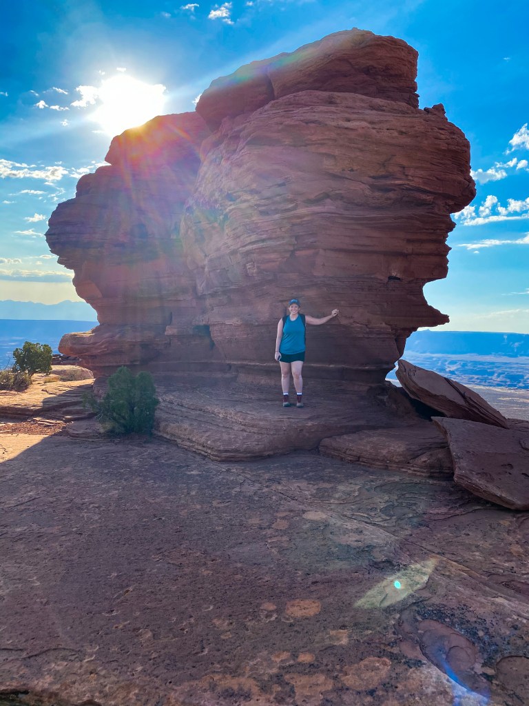
Loving the shade 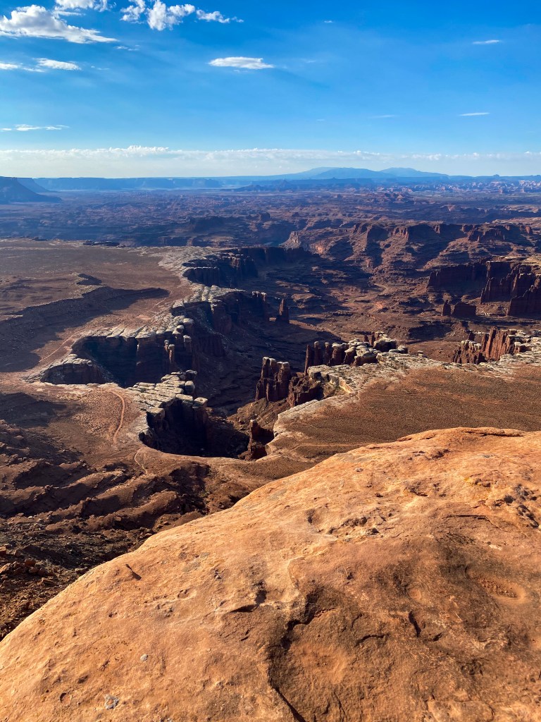
Another view of Colorado River Canyon 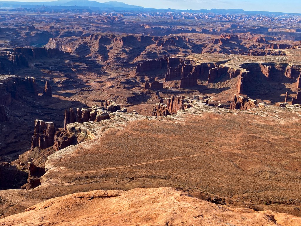
Colorado River Canyon closer up 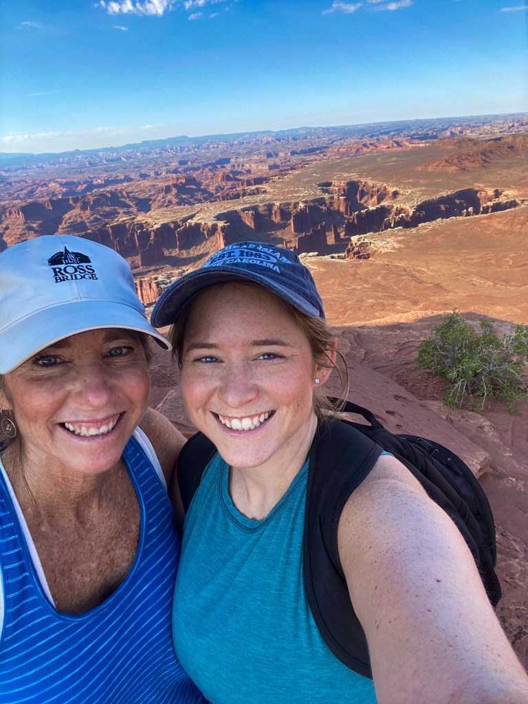
Selfie with the canyon! 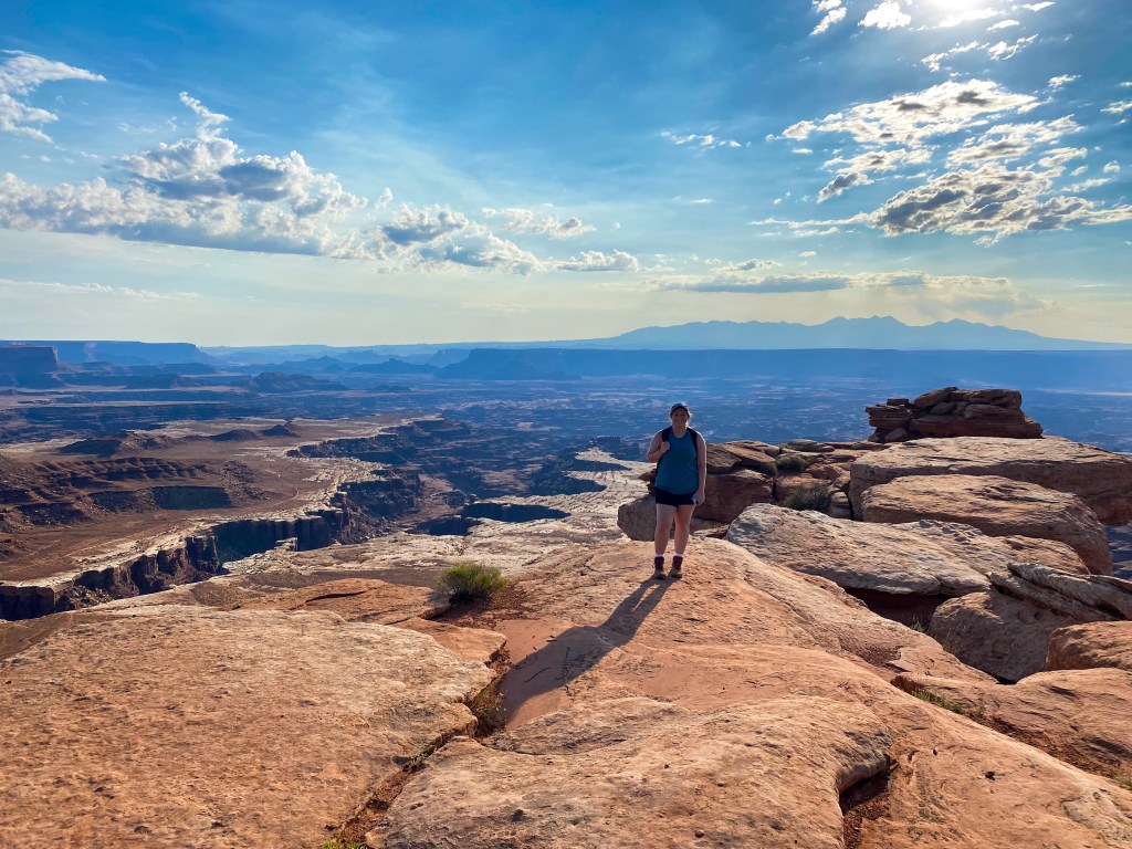
Me and Buck Canyon
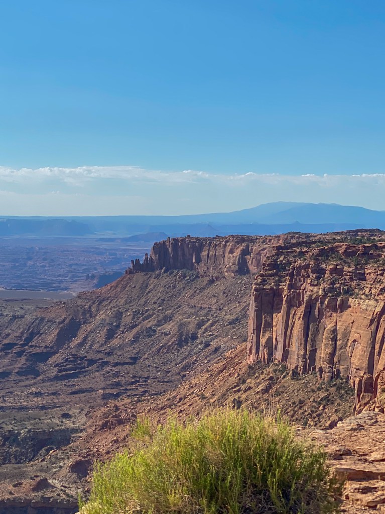
Remember how I said we’ll see Buck Canyon from a different angle later? Well here it is!
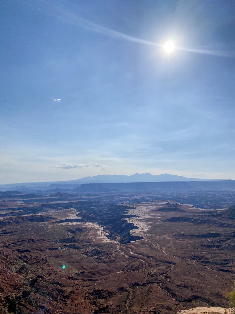
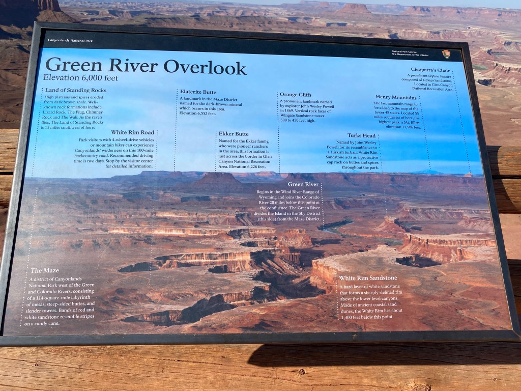
Next up on the overlooks is the Green River Overlook. The differentiator to this canyon is that it was carved by the Green River and not the Colorado River like the other canyons were. If you look closely, you can still see the Green River flowing through the canyon.
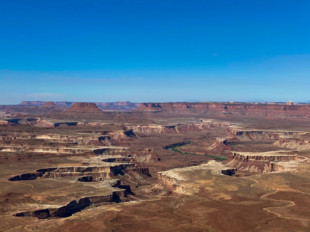
Also in the shot are the Elaterite and Ekker Buttes, the Orange Cliffs in the background, Turks Head – the butte next to the river, and Cleopatra’s Chair alllll the way in the back on the right.
While driving to our next hike, we passed another aptly named landmark – Whale Rock. It looks like a big blue whale lying out in the middle of the desert. You can take a hike across the entire rock, but we opted for a different hike that scaled some other rocks. More on that later!
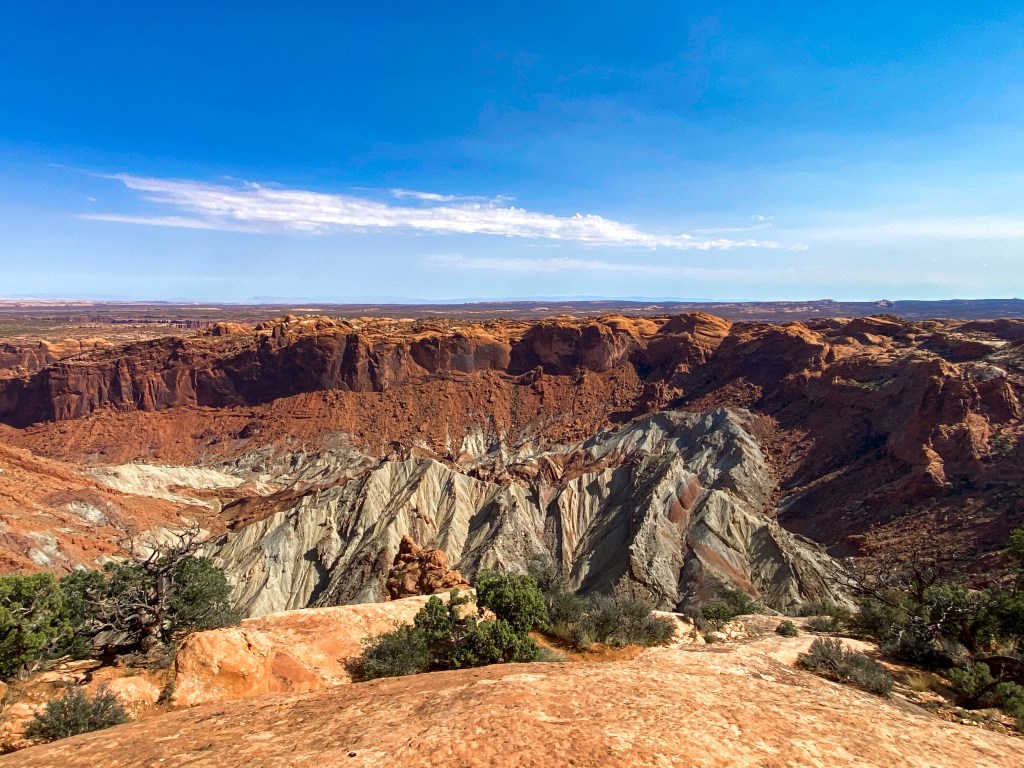
For the next hike, we went to the Overlooks of the Upheaval Dome. This unique geological feature is still a mystery to scientists as to how it got here. The two prevailing theories are either the remnant of a meteorite impact or a salt dome uplift. What do you guys think?
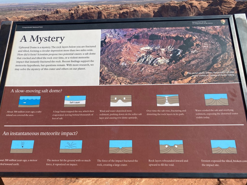
Click to learn more about its creation! 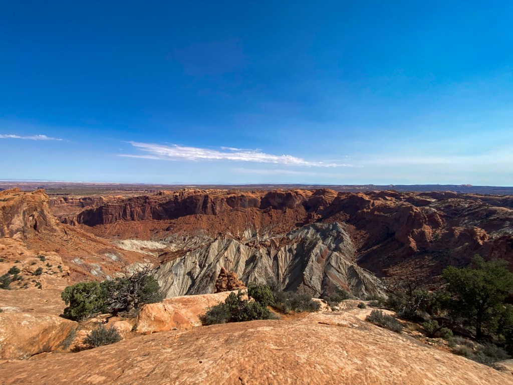
The crater is 2 miles wide! 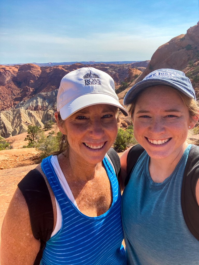
Us and the Dome!
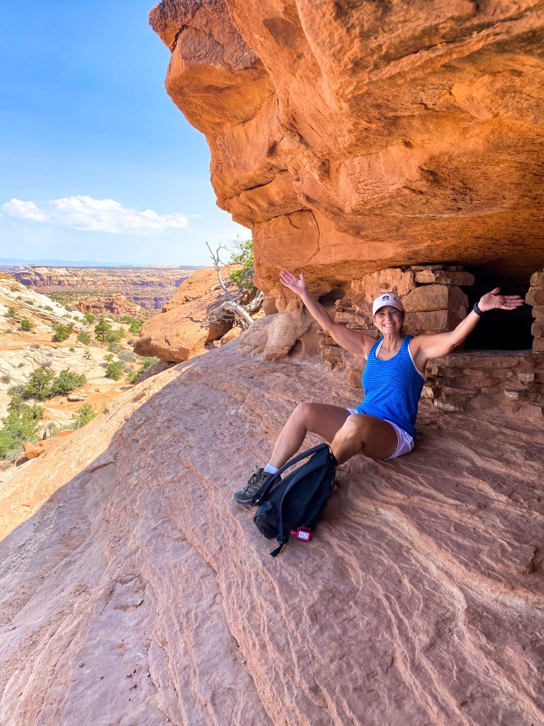
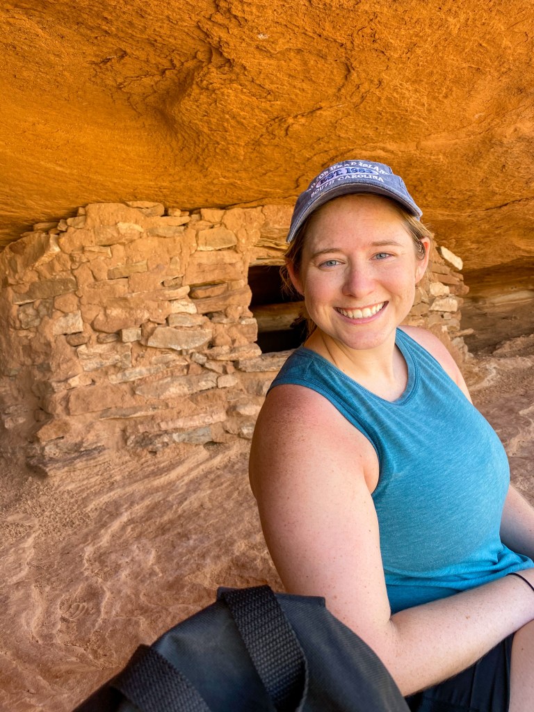
Our final hike of the day incorporates that rock scaling I mentioned earlier, and let me just say, this was one of the most difficult and exciting hikes we’ve done yet! We hiked the Aztec Butte trail – scaling the larger Aztec Butte and the lower butte while checking out some ancient Puebloan granaries.
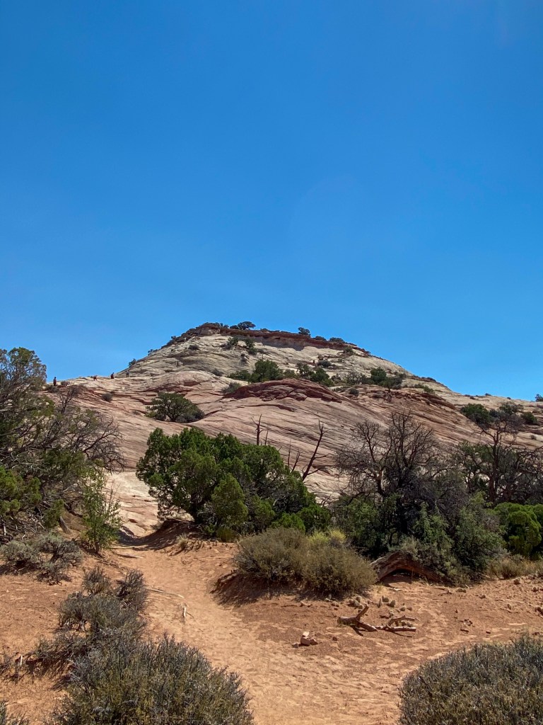
I wish one of us had a GoPro attached to our forehead while we climbed this butte. We were nervous to keep going up because we didn’t know how we would get down! The pictures don’t show you how steep this really was. It was slightly terrifying but so much fun! Also, click on the photos below and look closely for the people on top of the butte – that’s where we were!
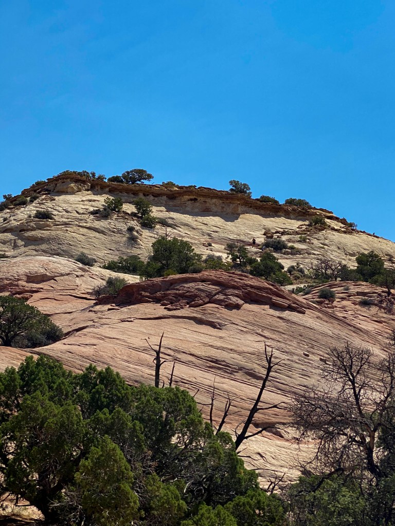
Click and zoom in to see the people climbing up! 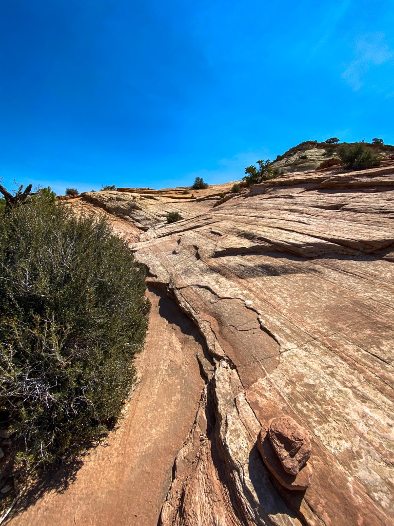
This is what we climbed…straight up 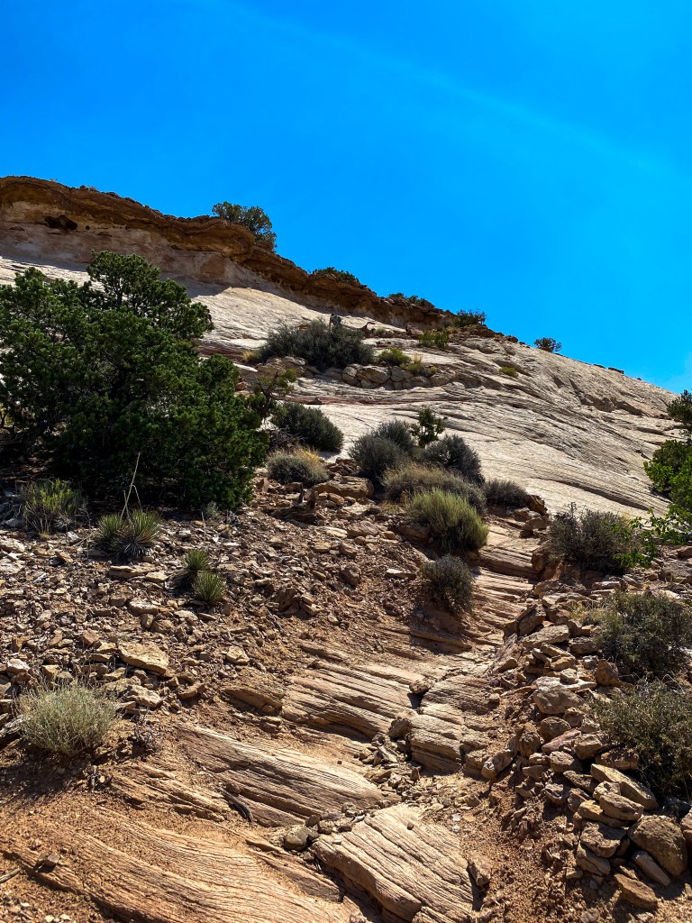
More crazy rock scaling 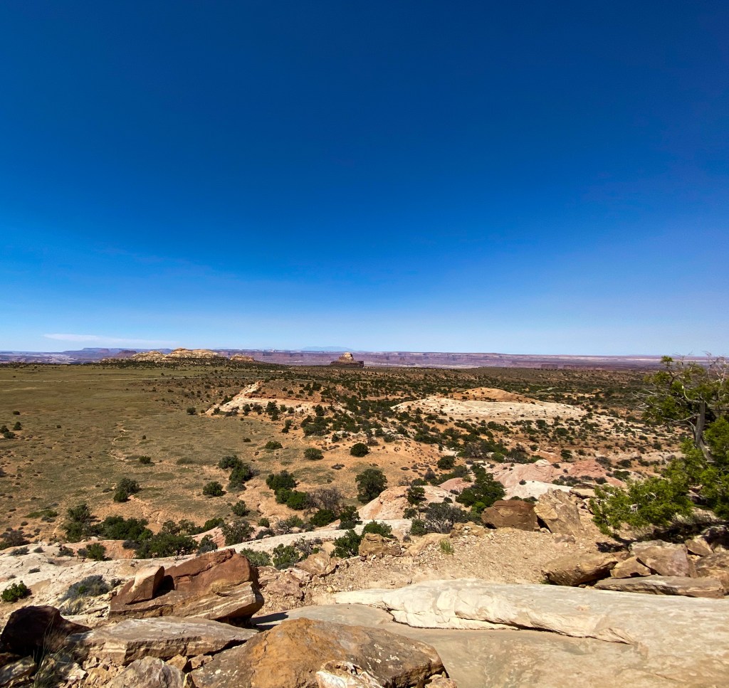
The view from the top! 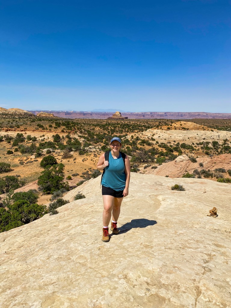
Also the view from the top!
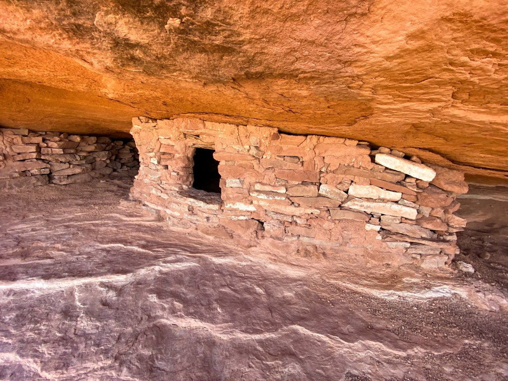
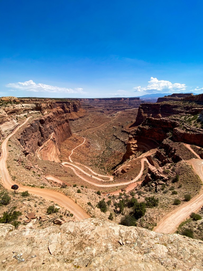
Two more viewpoints and we were done with Canyonlands! The first was the Shafer Trail Viewpoint, but the real view is of the White Rim Road switchbacks! Looks like a crazy, beautiful drive!
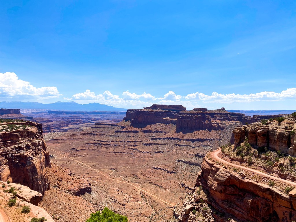
The final view was actually at the Visitor Center. The skies were pretty clear today, so you can see the La Sal Mountains in the background of this great canyon shot.
And another park done! The only thing left here in Moab is to head back to Arches to see Delicate Arch at sunset. Unfortunately, there was a huge cloud covering the sky as the sun was setting, so we didn’t get the sunset views everyone raves about. We did, however, still walk up a steeper, longer version of Stone Mountain to reach the acclaimed Arch, and it was a beautiful sight to see.
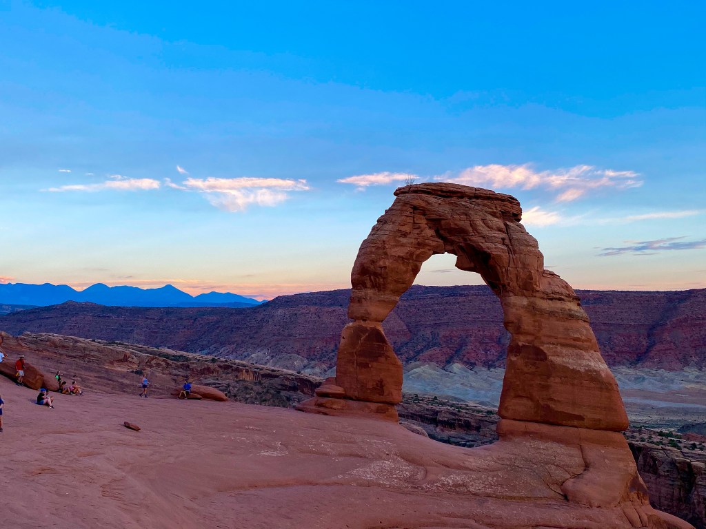
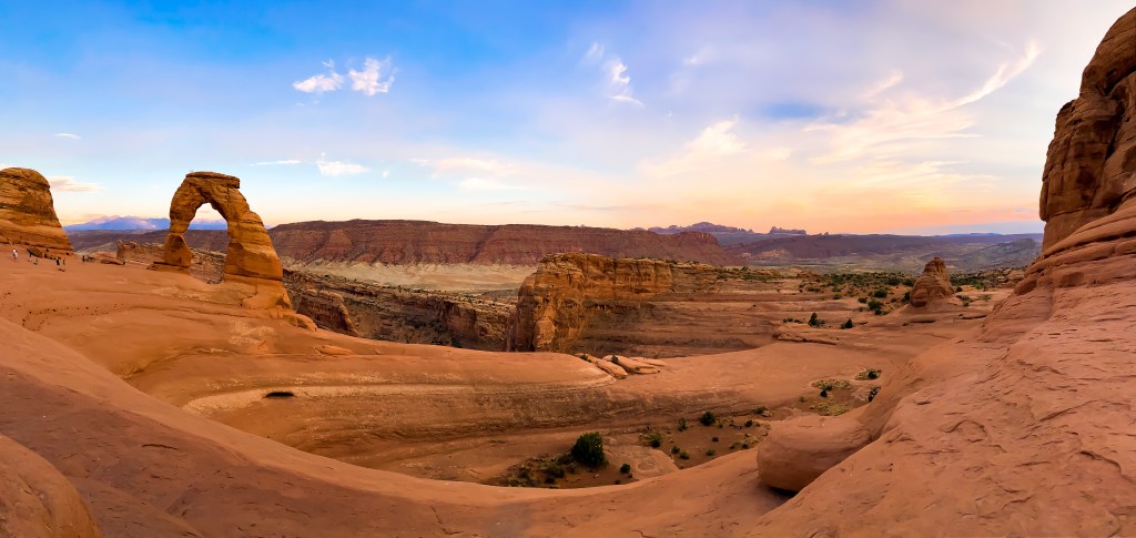
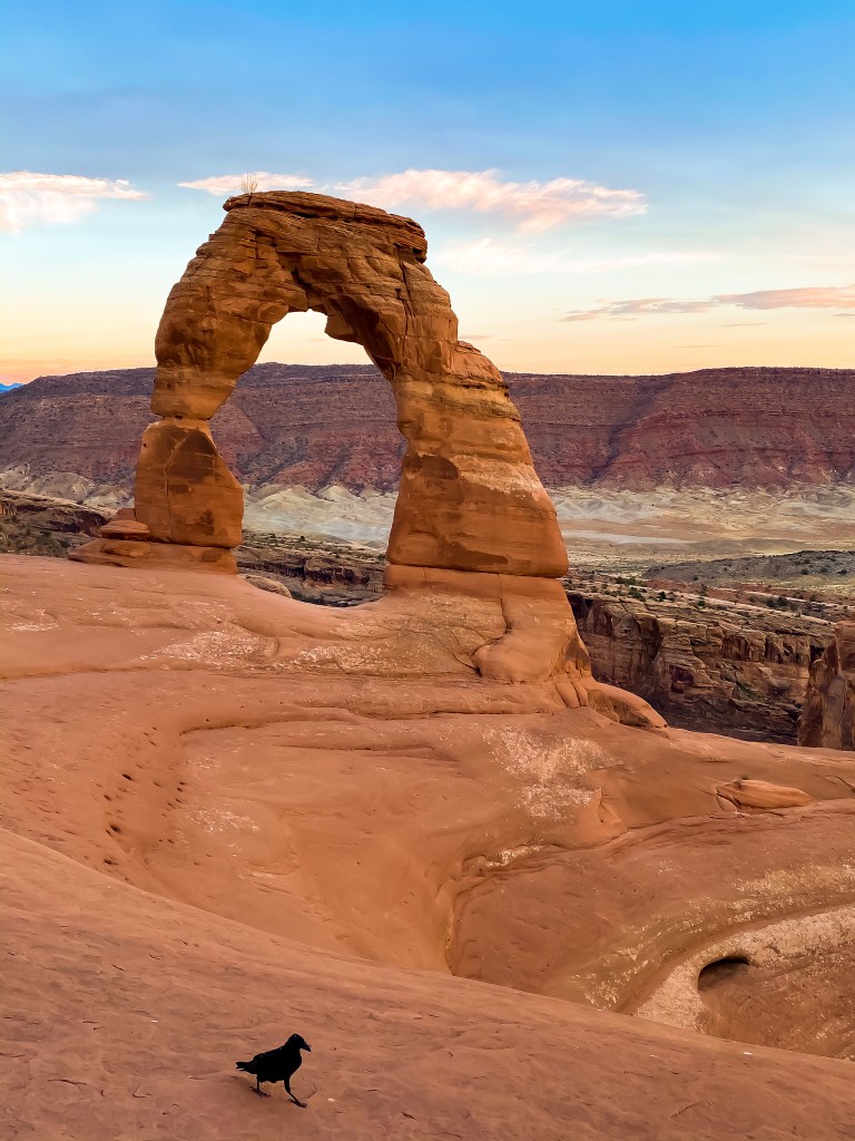
There were a bunch of people sitting up there, waiting for the same spectacular views. Don’t worry – for the most part, every party was at least 6 feet apart or had their masks on. We all just wanted to be a part of this natural beauty. It was funny, though, how at sunset everyone left and it looked like a great migration down the mountain.
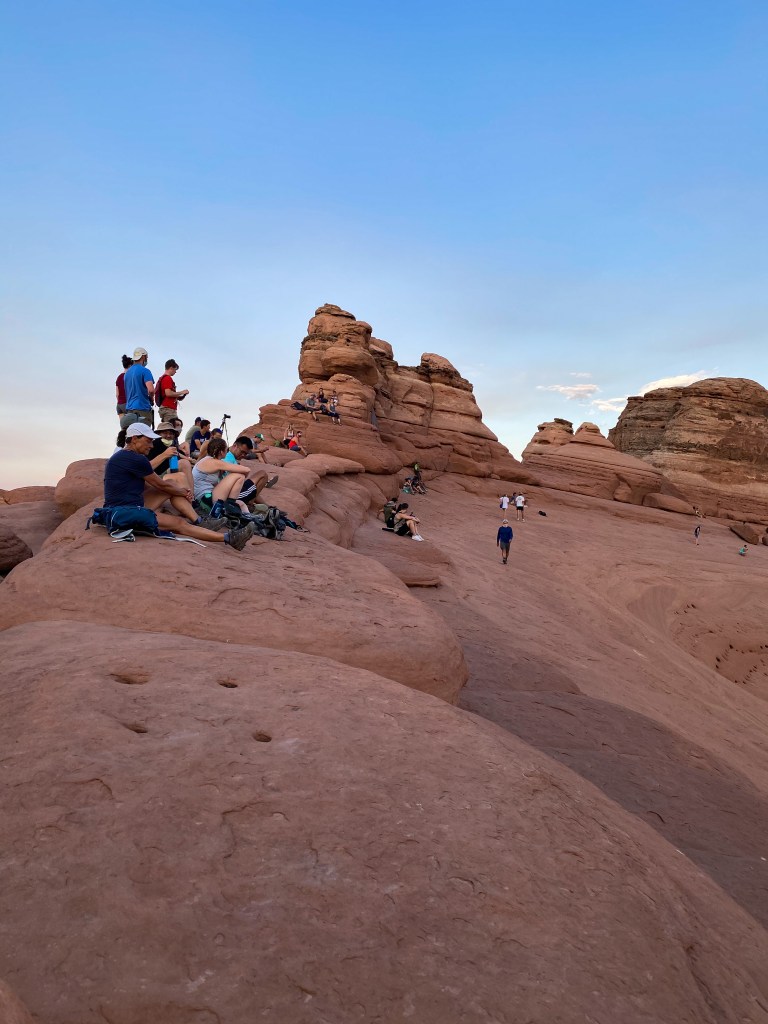
They really were 6 ft apart – the photo is a lie 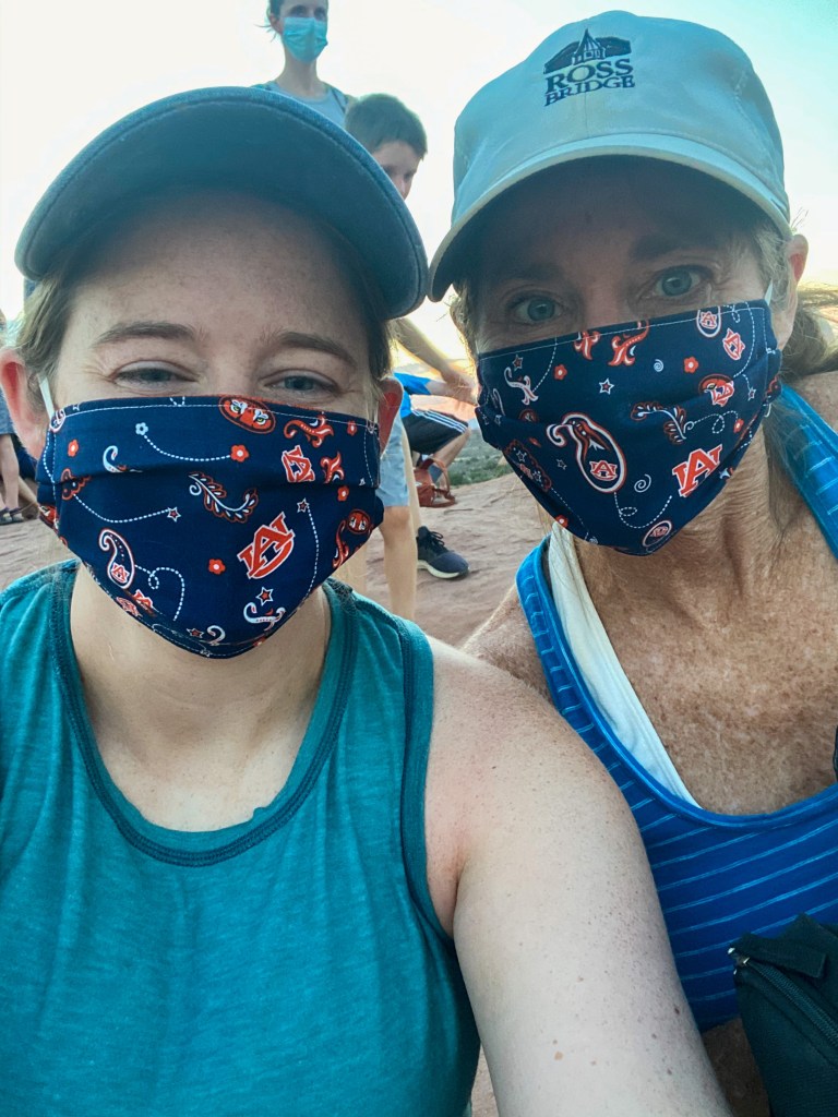
Showing off our Auburn masks! 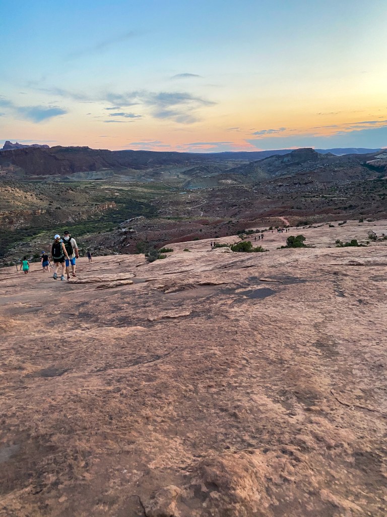
The great migration down the rock
The hike up and down the mountain lent itself to some amazing sites and finds, too.
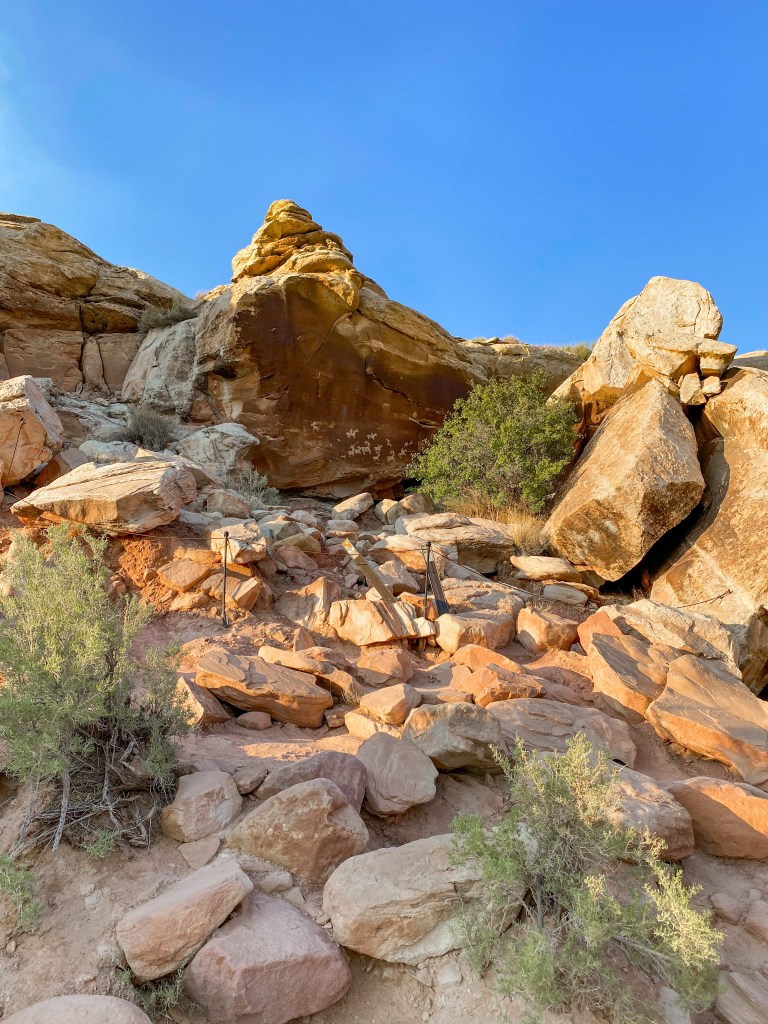
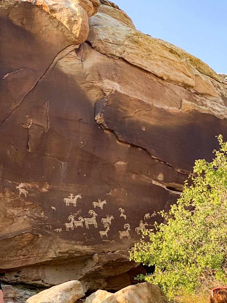
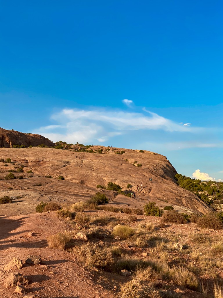
Looking up the rock we had to climb 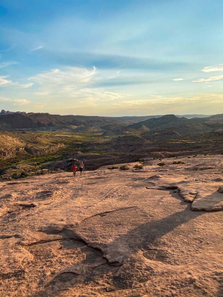
Looking down it 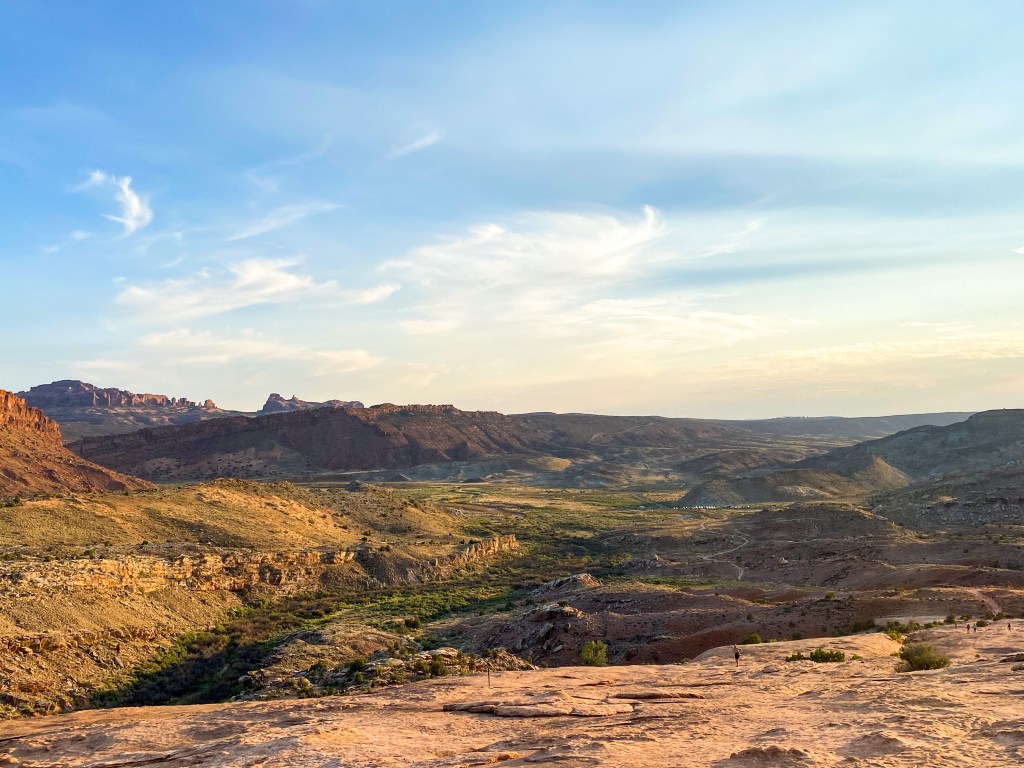
The views from the top of said rock 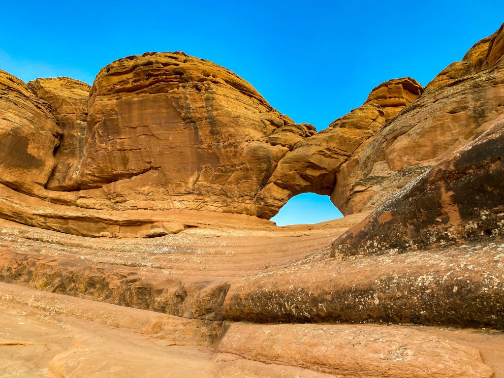
The little window arch before you get to Delicate Arch 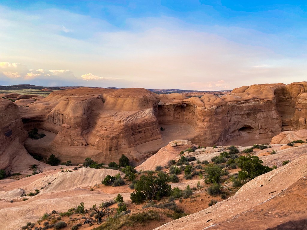
Some of the amazing landscape on the hike up 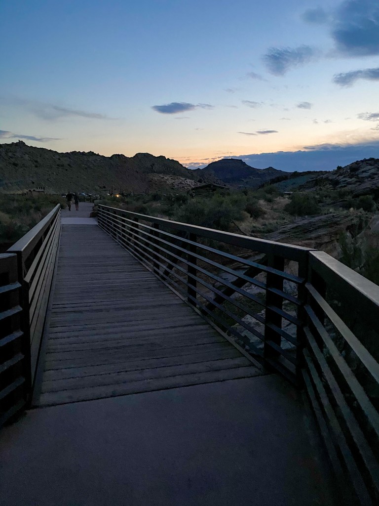
Almost dark by the time we got down to our cars
By the time we got back to our car, it was almost dark out, so we headed to Panorama Point to view the night sky in one of the International Dark Sky Parks (Arches certified in 2019). We hit it on a great night, too, because both Jupiter and Saturn were visible tonight.
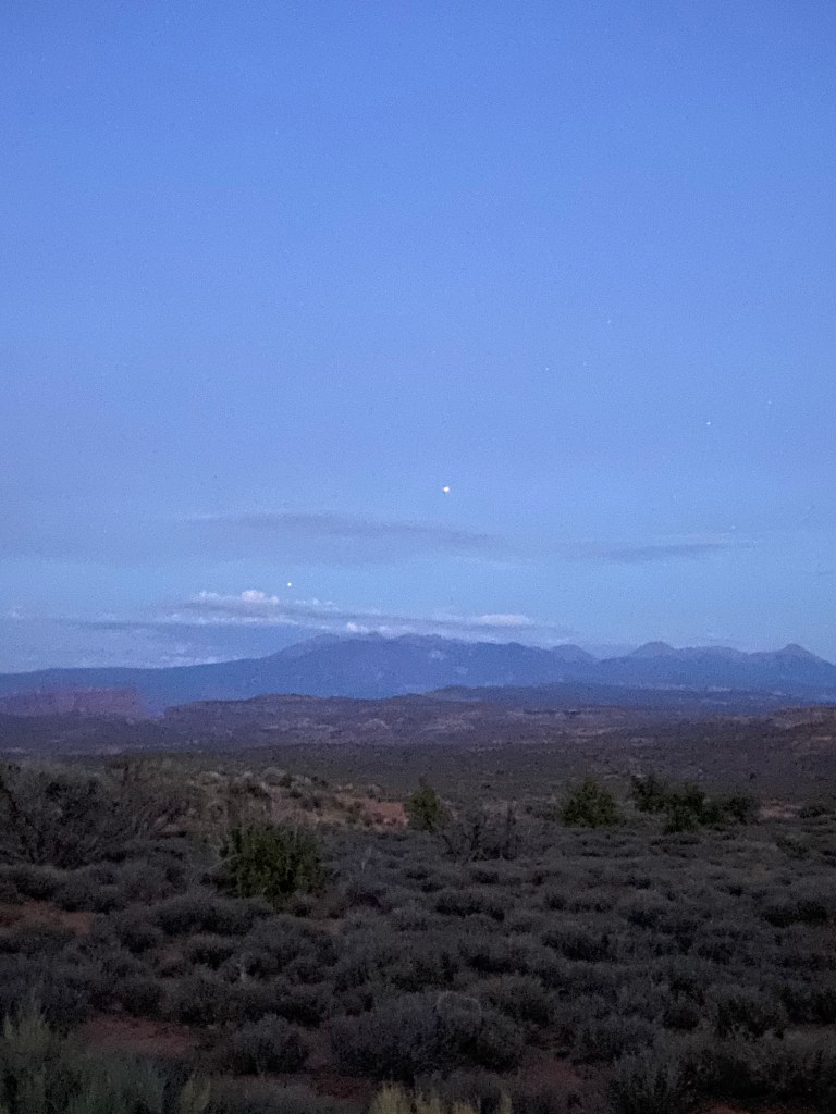
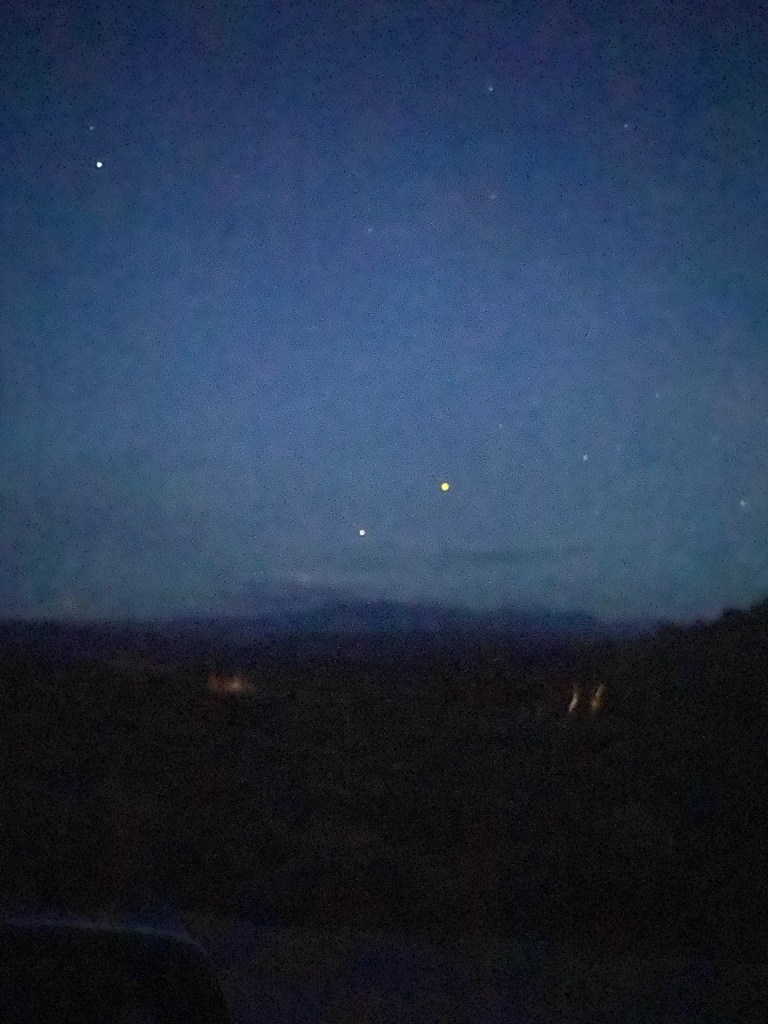
We also did some stargazing, and I found the constellation Scorpius.
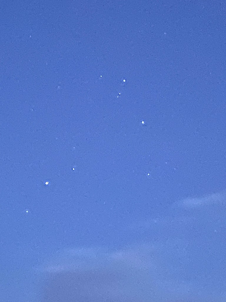
It was amazing seeing such a clear night sky full of stars. Many of us who live in cities never get to experience the vast darkness that is the night sky due to light pollution, so we lingered to take in the immense wonder a little longer.
We finally headed back to the hotel for one last night, packing everything up to head out on our next adventure tomorrow – Capitol Reef National Park!
STEPS: 27,264
MILES HIKED: 10+
PLANETS SEEN: 2!!!


