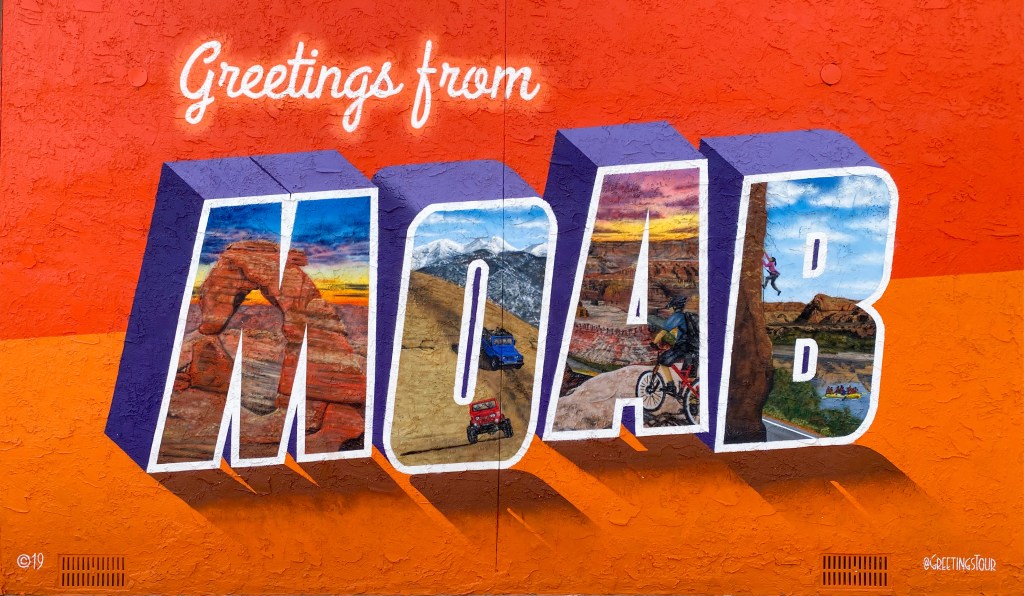
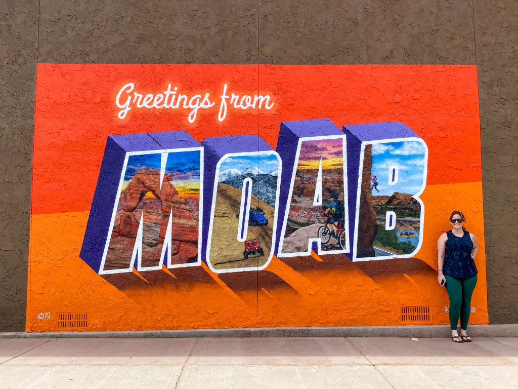
Closing out our first week with a brand new city and brand new park! But before we left Moab, we had to get a picture of the postcard mural downtown.
Back on the road! After getting off I-70, we took Utah’s scenic byway SR-24 that cuts right through Capitol Reef National Park. Little did we know that we not only passed a Mars Desert Research Station, but also a dinosaur bonebed, home to one of the largest dinosaur quarries in the U.S. Both of these outside of Hanksville, UT. Missed opportunities there, but I’m mentioning them here in case someone takes this trip one day!
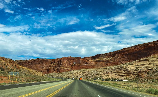
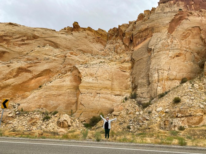
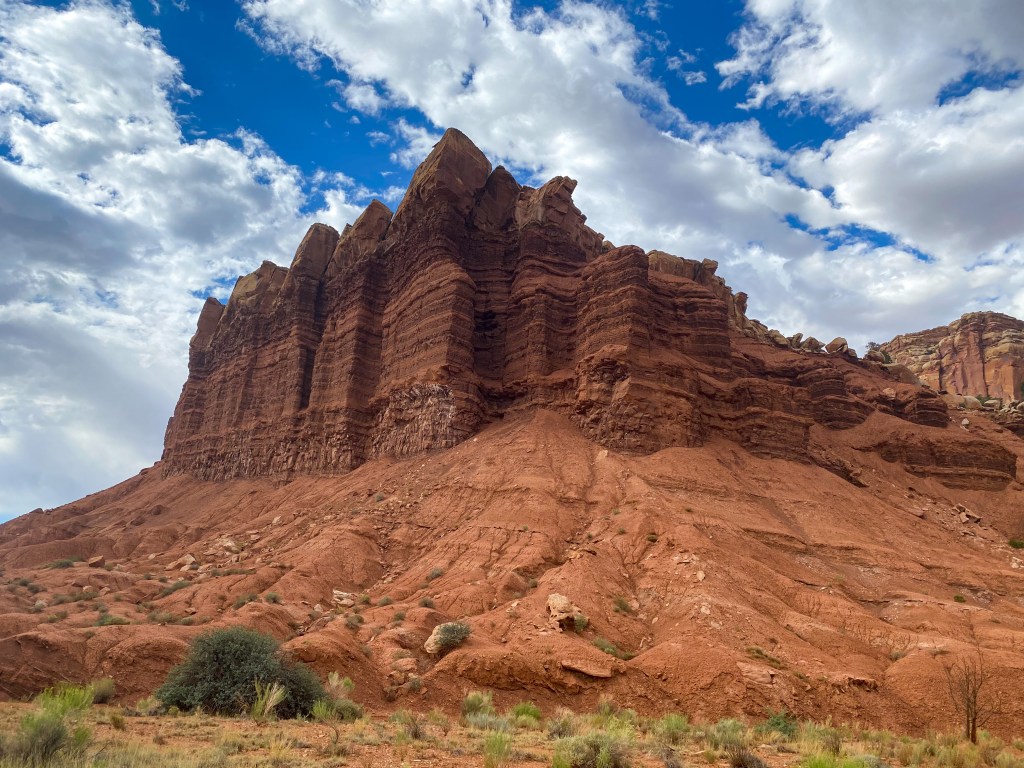
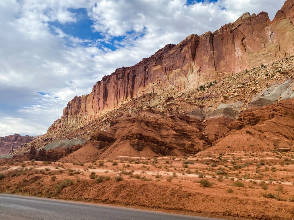
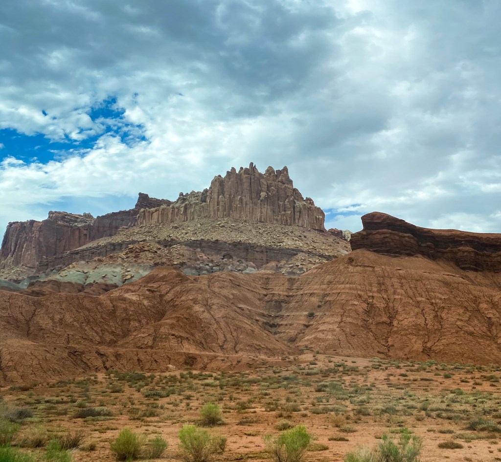
We could tell as we were driving in that a whole new terrain was popping up around us. The coloration of the rocks were changing, as well as the shapes.
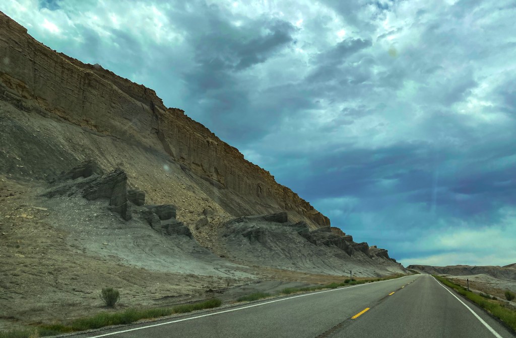
The rocks protruding from the ground were a new sight to see 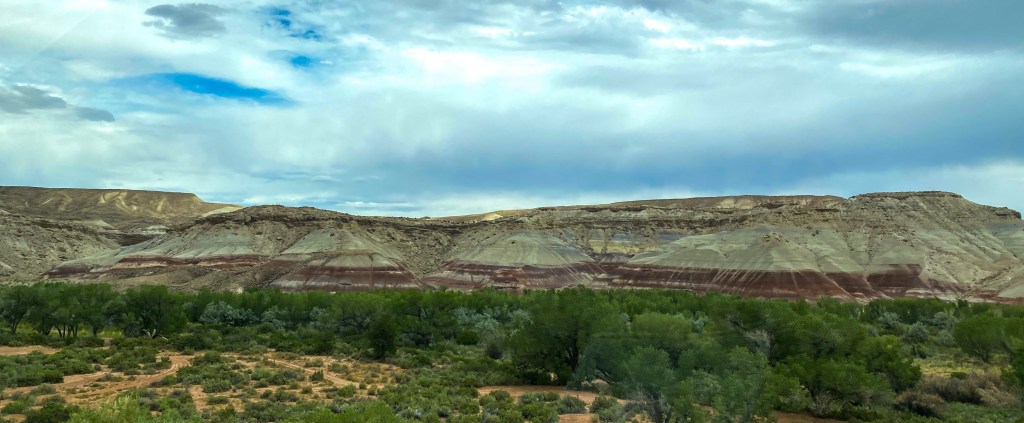
The coloration of the rocks started changing
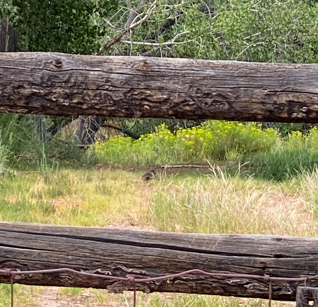
When we finally made it into Capitol Reef, one of the most distinct changes was the amount of vegetation and greenery in the actual park. The other parks had been straight deserts for the most part. Capitol Reef was the first to look somewhat green!
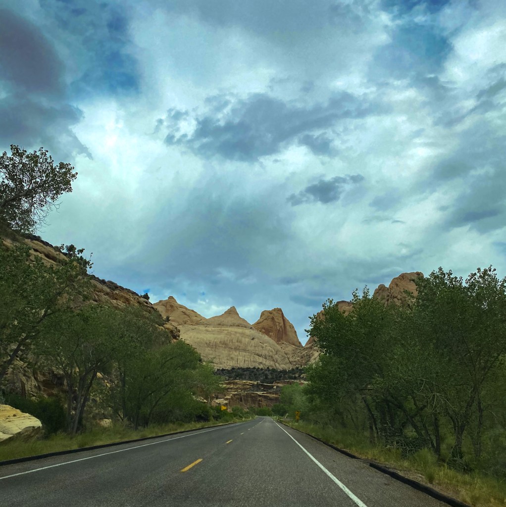
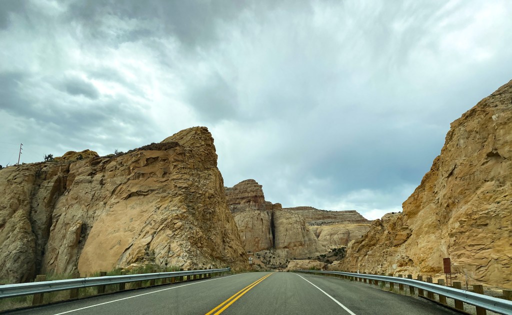
There were still a lot of giants rocks, though
One of the first interest points we saw when we entered the park was a rock wall of ancient petroglyphs from the Hopi Tribe. They lived and thrived in this area from 300 to 1300 C.E. These petroglyphs help preserve their culture and serve as a testimony to the Hopi people of their ancestral clan migration across these lands.
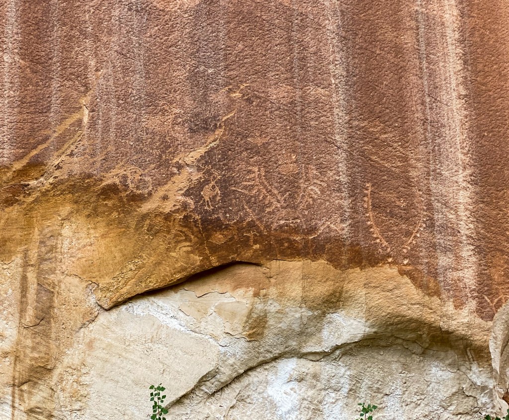
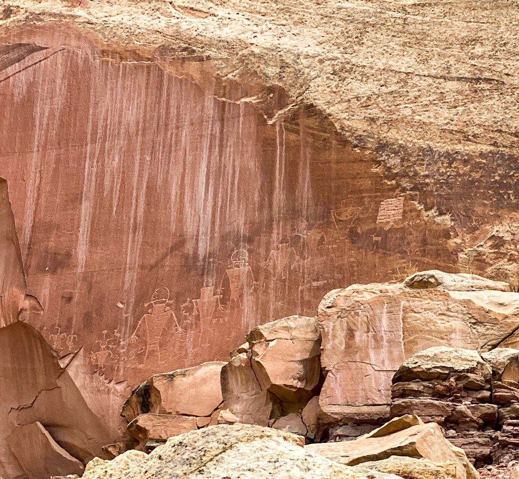
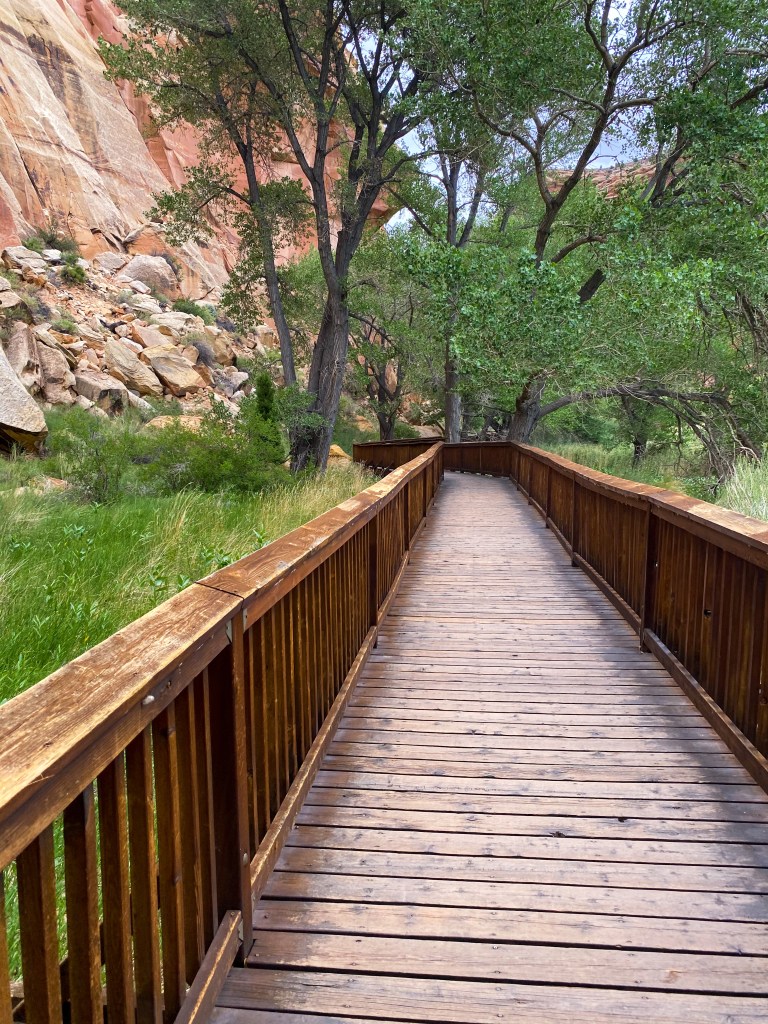
Bridge across a marsh to get to the petroglyphs 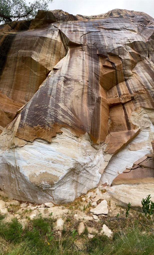
Giant rock wall where these petroglyphs were found
Speaking of migration, toward the entrance of the park still stands an old cabin named the Behunin cabin after the Mormon settlers, who arrived here in the 1880s. The cabin remains as a reminder of the hardships these early settlers had to face, as the Behunin family quickly moved from this area to higher ground in the Fruita district due to flooding of the Fremont River washing out their crops.
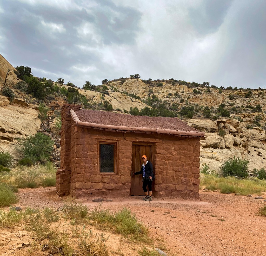
What makes Captiol Reef unique is in the middle of this giant park remains the quaint Fruita Historic District with many of the old buildings converted to museums and exhibits.
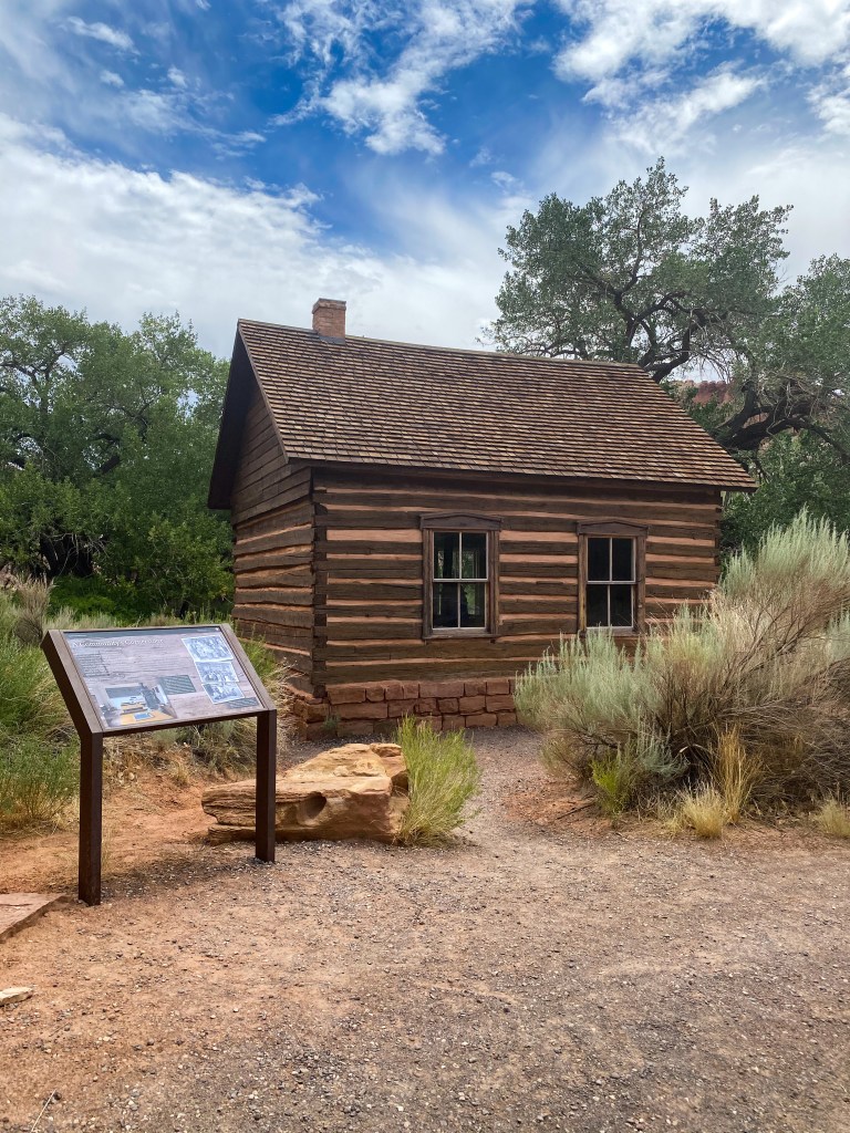
Schoolhouse built in 1896 for the 8 families living at this junction 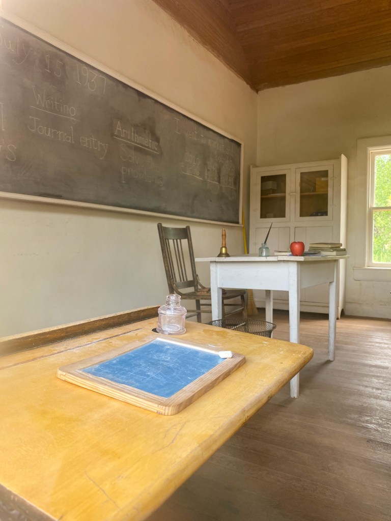
Nettie Behunin became the first schoolteacher at age 12 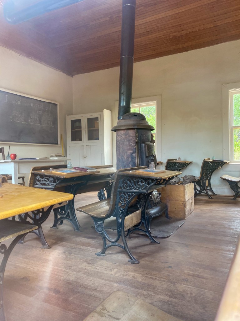
The park restored the old 1930s look to the inside
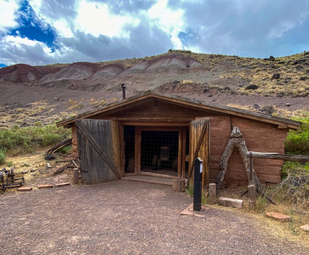
Old blacksmith shop 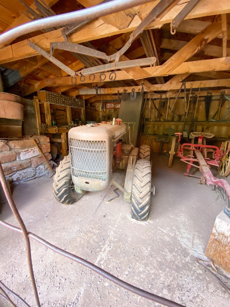
Some of the tools and machinery inside
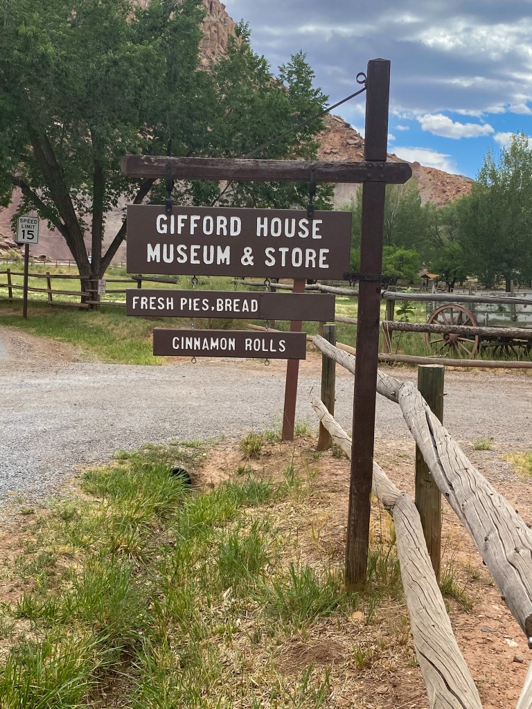
In the heart of the Fruita district lies The Gifford House. The house was originally built in 1908 by some of the first Mormon settlers but the namesake comes from Dewey Gifford and his family who lived there from 1928-1969. Dewey sold the house to the National Park Service then and moved away, and so the story of the farming community of Fruita came to an end.
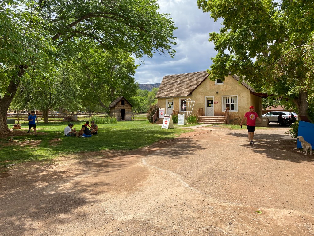
There are also over 2,000 trees that make up the multiple orchards in the district, growing apples, pears, apricots, plums, cherries, and peaches. You can pick them, too! But there was nothing mature yet when we visited.
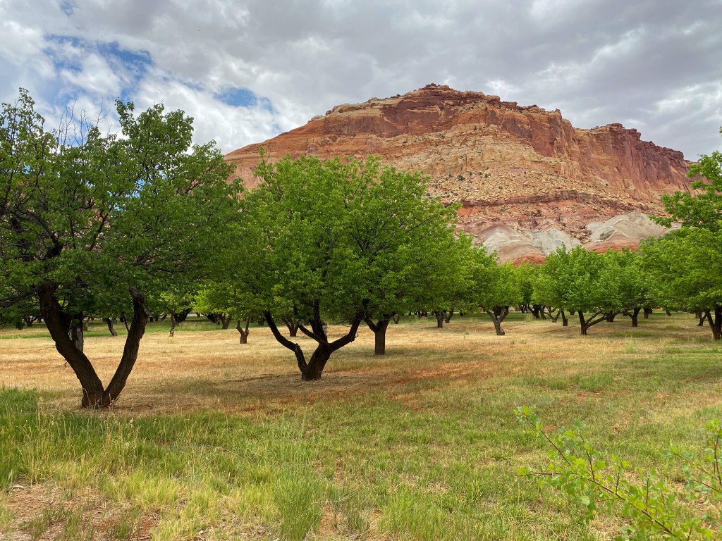
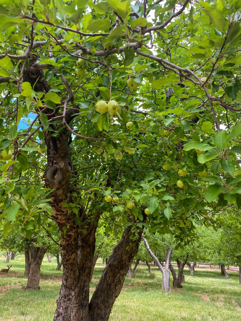
Apple trees 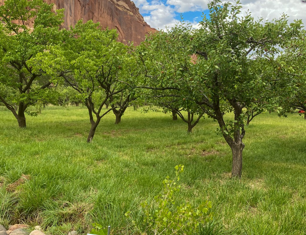
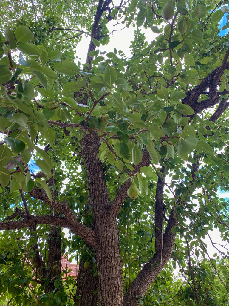
Pear trees 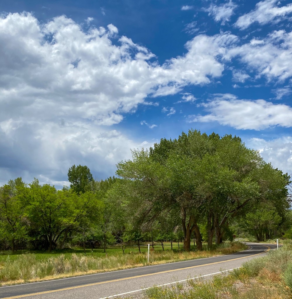
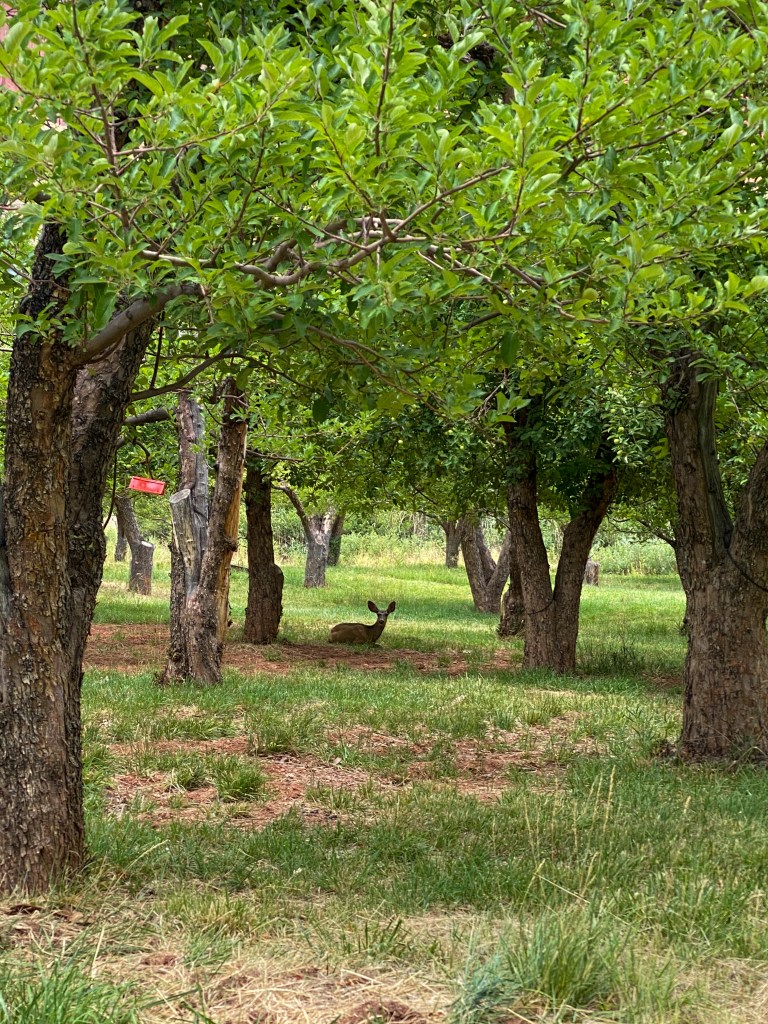
Even though we couldn’t sample the fruit straight off the branch, good news – the Gifford House Store bakes fresh fruit pies every day, so of course we had to try it out!
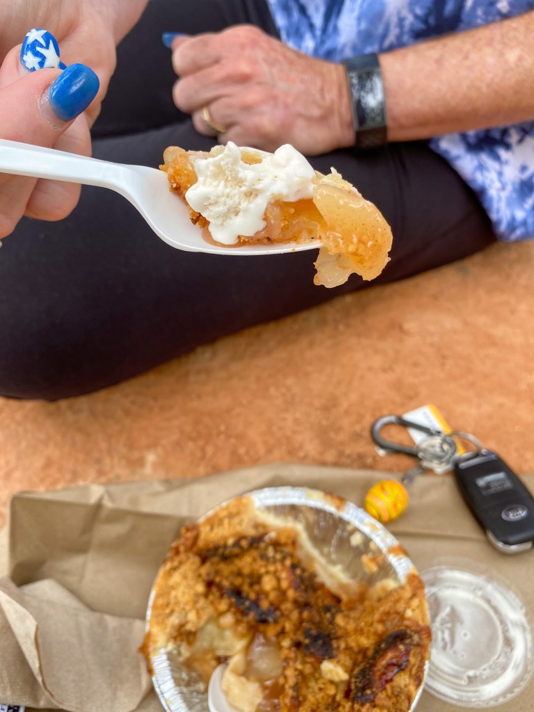
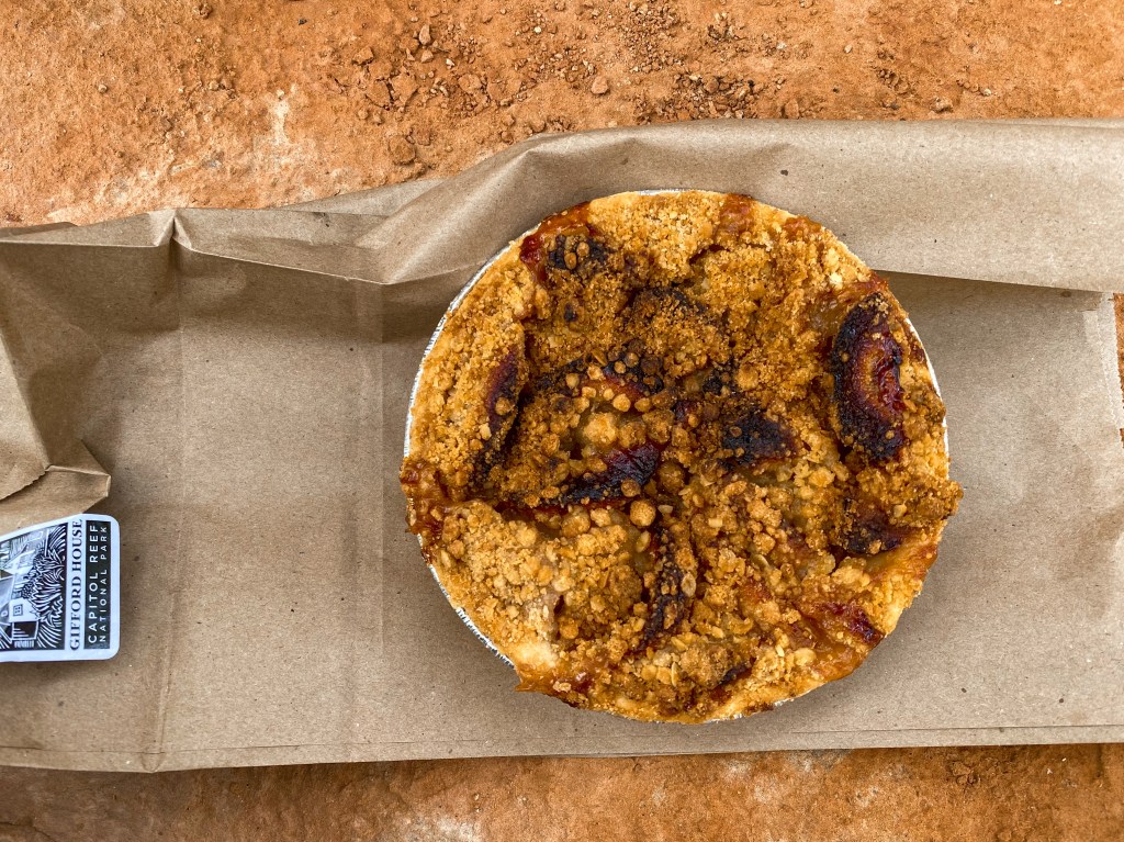
Fresh-baked apple pie 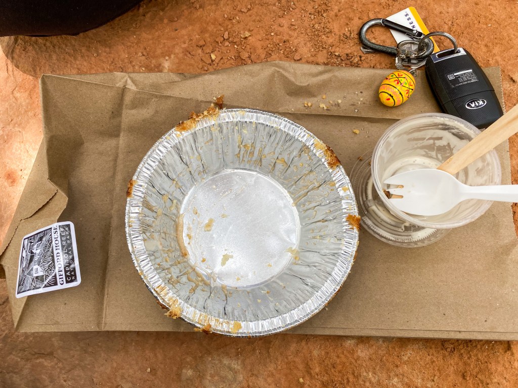
Empty pie tin because it was that good!
We also bought some other goodies that are made especially for the Historic Gifford Store – salsas and relishes that look delicious!
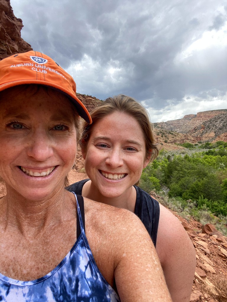
Before we left this lovely historic district, there was one hike within the Fruita campground area – The Fremont River Trail – so we took a stroll down the riverside.
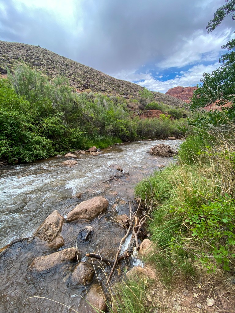
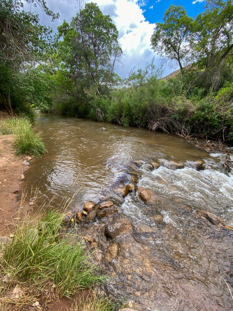
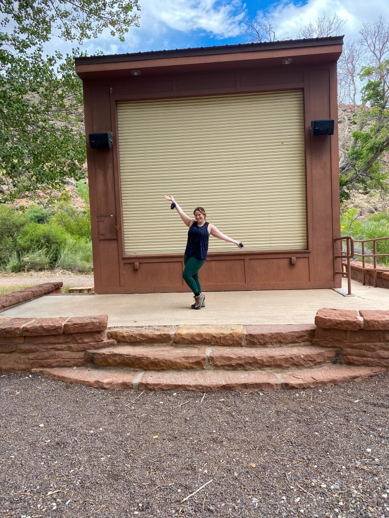
Stage at the campground next to the trail
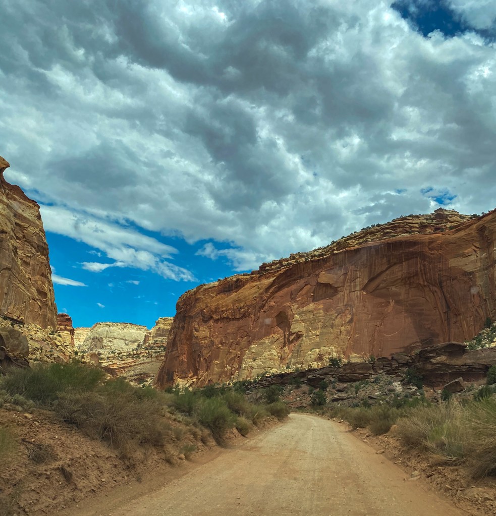
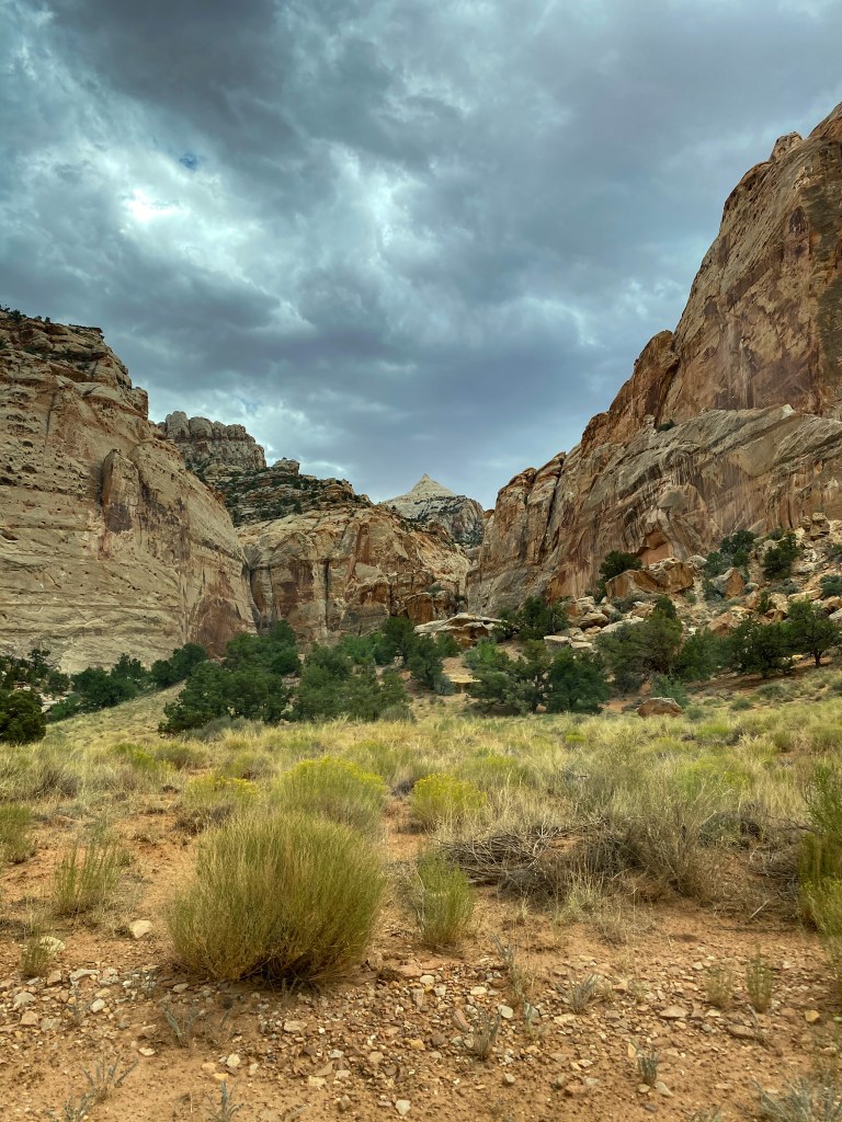
After the Fruita district, we headed down the Capitol Reef Scenic Drive, a 10 mile drive through the park with viewpoints and hikes along the way. First up, the Grand Wash. If you’re like me, you had no idea what a wash was before this, so allow me to help: a wash is a dry creek, stream bed or gulch that temporarily or seasonally fills and flows after sufficient rain. While the pictures below aren’t of the actual wash trail (they’re on the road to the wash trail that we did not do), they can provide a semblance of what to expect on that trail – dryness and soaring cliffs surrounding the path.
Along this road were two other landmarks – Cassidy Arch and old uranium mines. Cassidy Arch is so named because the infamous Butch Cassidy ( and the Sundance Kid) were known to hideout in the Grand Wash while traversing the Waterpocket Fold here.
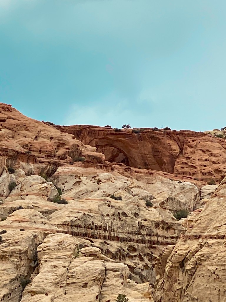
Also if you’re asking yourself what the Waterpocket Fold is, here’s the answer: it is the major geologic feature that defines Capitol Reef National Park – a buckle in the earth’s surface, almost 100 miles long, running north-south. Along The Fold, rocks have been pushed upward and erosion has cut through the layers, creating deep narrow canyons and interesting formations. One could call it a “barrier reef”, hence the latter name of the national park.
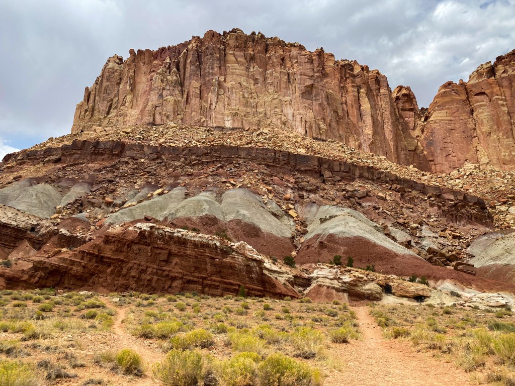
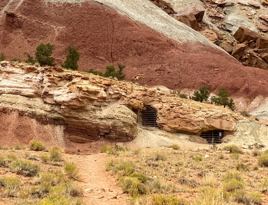
The second interesting point on the Grand Wash road were the old uranium mines hidden within these rocks. The thin layer of white you see in the rocks in the picture above is a part of the Chinle Formation, a layer of ancient, river-deposited sandstone containing trace amounts of uranium. Prospectors began searching in the early 1900s for this promise of health and profits. Even into the late 1950s, they were building roads, digging mines, and constructing camps on these previously undisturbed lands. Ultimately, little uranium was found here, and now these dangerous mine shafts still remain. This one is specifically the abandoned Oyler Uranium Mine that opened in 1901.
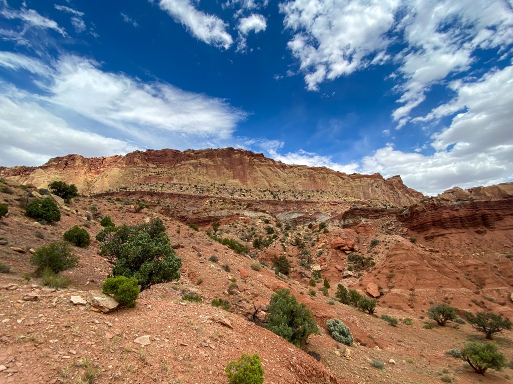
The next stop along the highway was Slickrock Divide. This is another divide much like the Continental Divide we saw when leaving Denver. This one separates two large drainages. To either side of this hill, streambeds channel rain runoff and debris into Grand Wash to the north, and Capitol Gorge to the south.
We then drove to the end of the paved Scenic Drive and headed out on the unpaved road to Capitol Gorge.
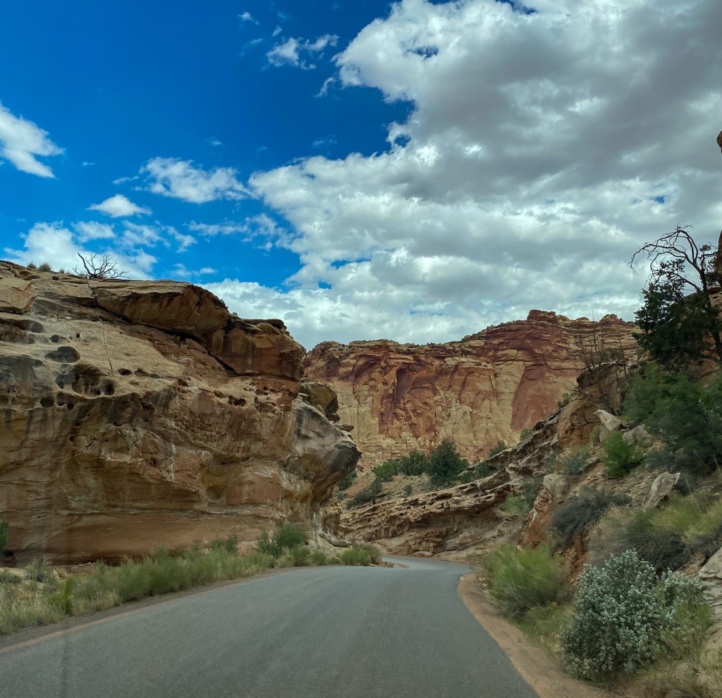
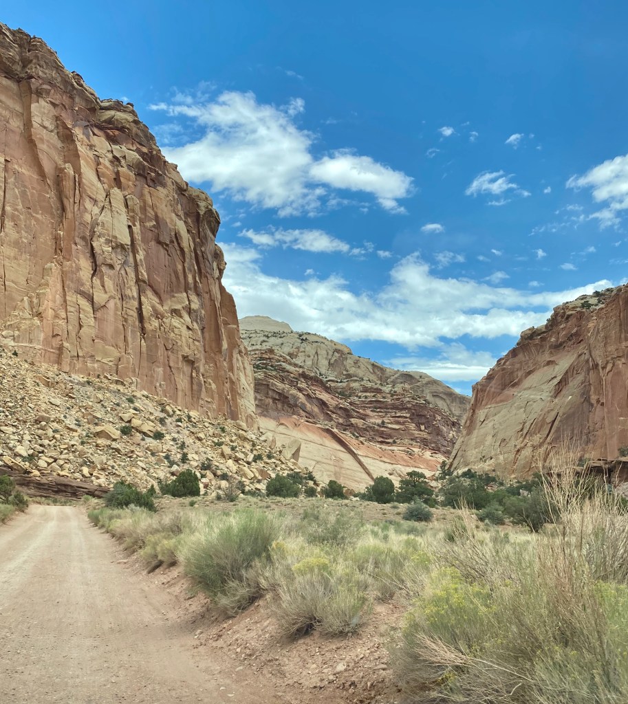
This hike was by far one of our favorites. Not only was it incredible walking through a gorge, but this hike was different because we were walking through history.
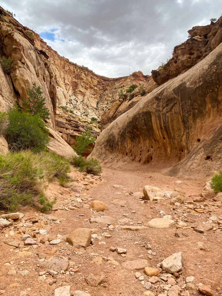
The first “discovery” were more ancient petroglyphs on the walls, showing more variety with the ones we saw at the entrance to the park.
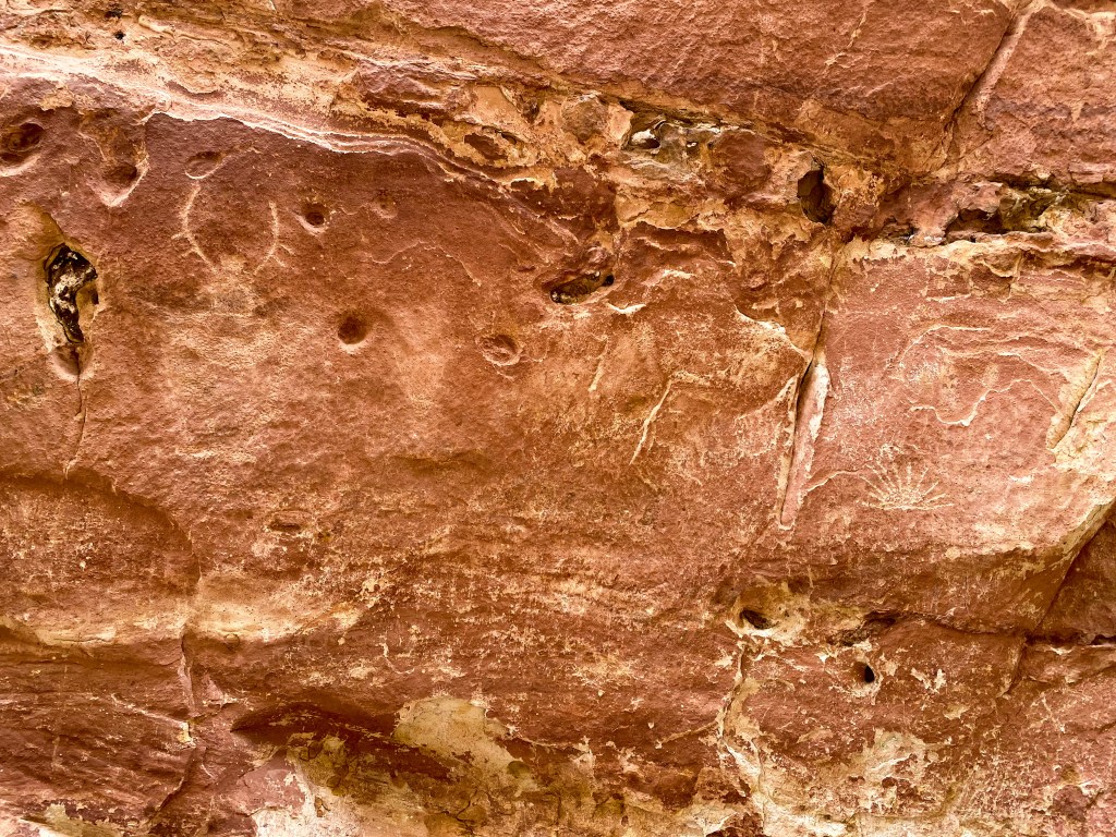
Walking through this gorge was surreal. You look up at the canyon walls and see the erosion that’s taken place to create such a deep gorge. So deep and wide that this dry streambed was used as a through road from 1884 to 1962 before the completion of SR-24. Can you imagine wagons traveling or cars driving through here??
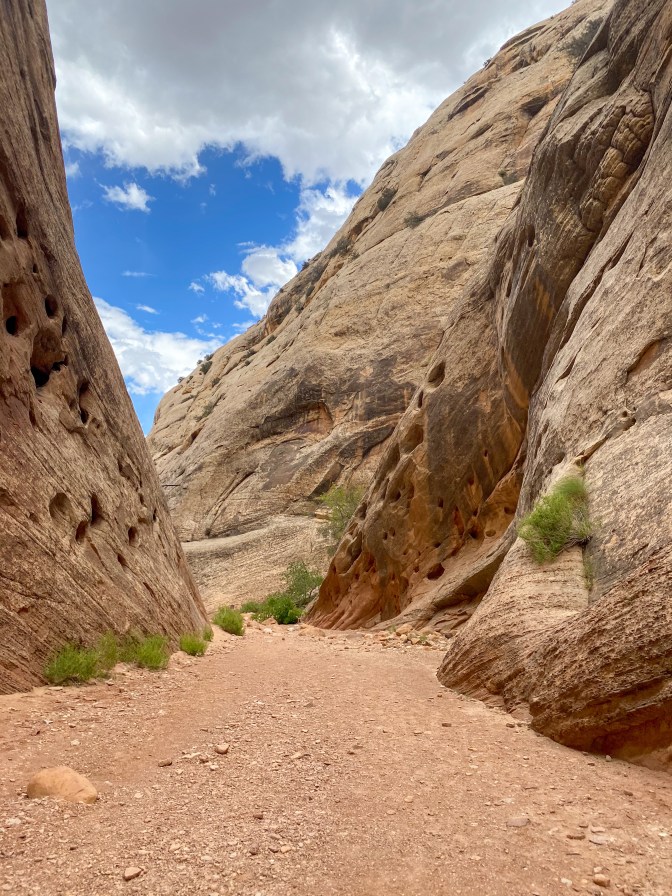
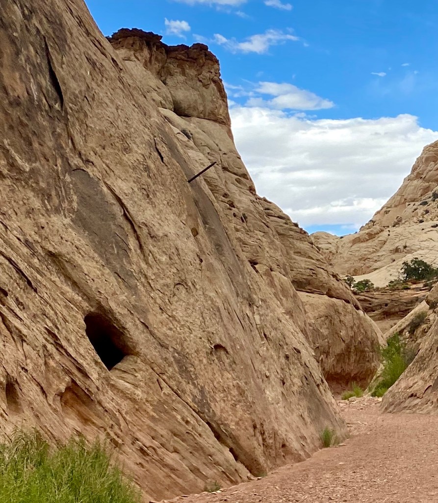
The next discovery were these metal rods sticking out the rock walls spread throughout the gorge. These were used to carry telephone wire in the early days so the settlers of Fruita could contact with the outside world, given how isolated they were.
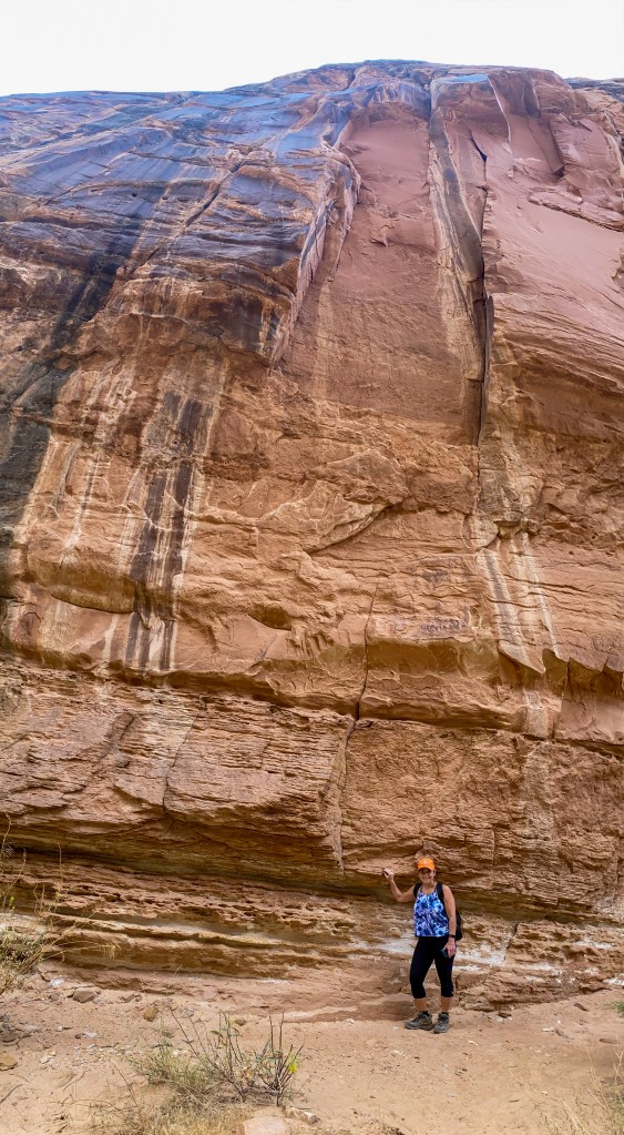
Also, these canyon walls were massive – which provided great shade, but were slightly scary when it started to drizzle on us.
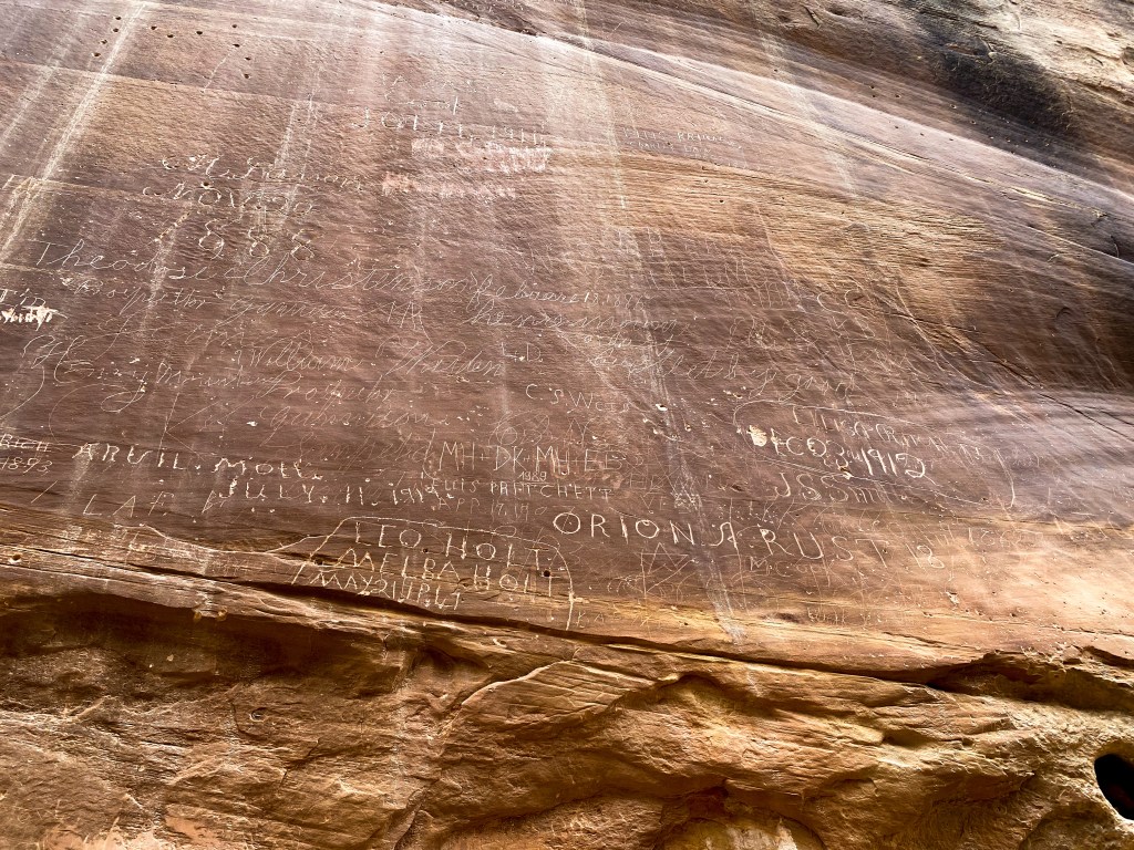
The third discovery (and what I think to be the most fascinating!) is called the Pioneer Register. These inscriptions were made by the Pioneers traveling through the gorge. They would stand on their wagon beds or ladders and carved their names and dates into the rock wall. These date back as early as the 1880s. Some of the names were even “carved” by firing their rifles into the rock! Of course, people have been known to add their own names and dates, tarnishing this piece of history. The wall is now under camera surveillance to make sure visitors for years to come can witness this historic site!
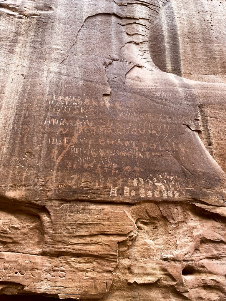
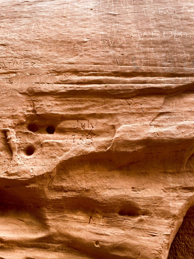
After we got to the end of the trail, there’s a little spur trail that climbs up steep rocks to a landmark called “The Tanks”. These are (usually) filled with water as a natural water tank for the settlers coming through here. They were of course bone dry when we saw them, but nevertheless, still really cool to see.
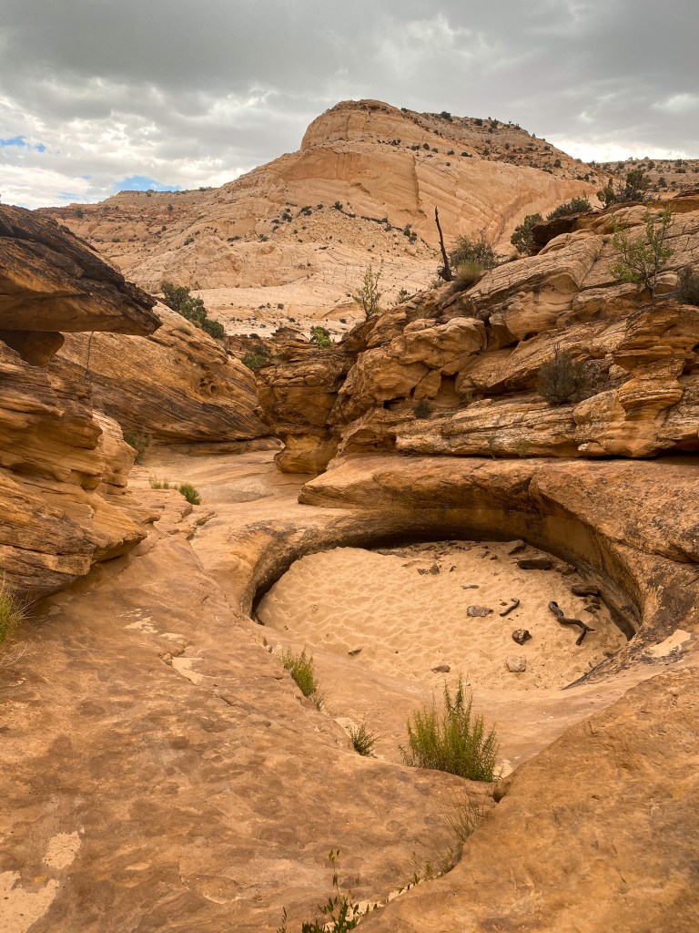
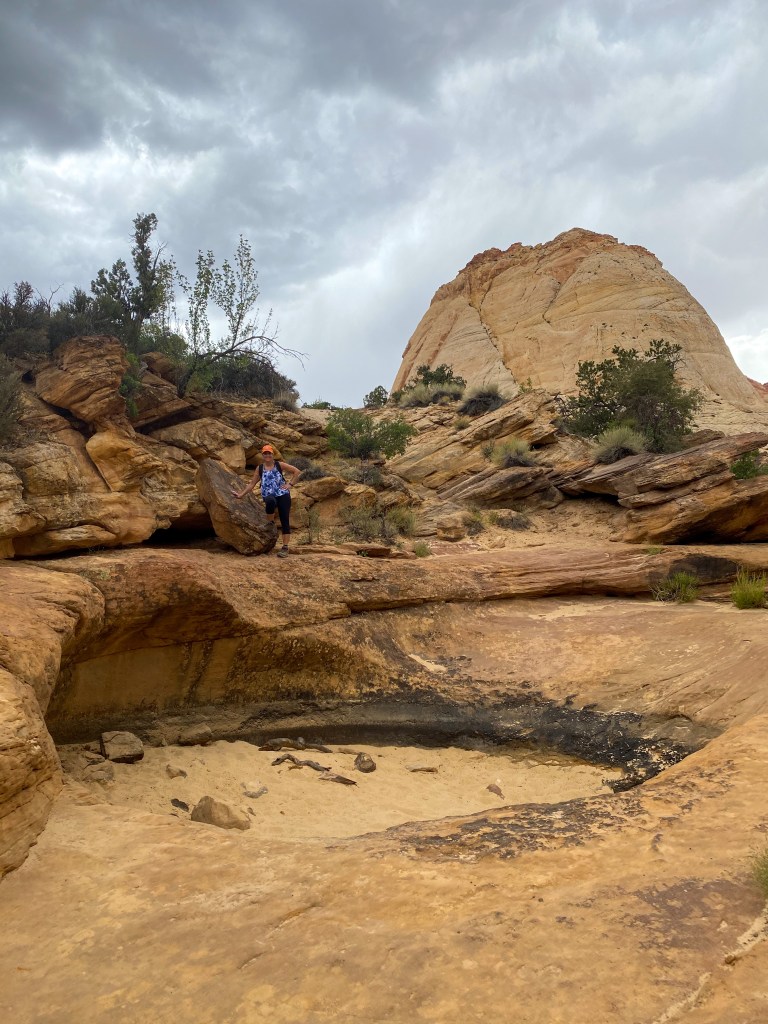
Jill standing over the upper tank 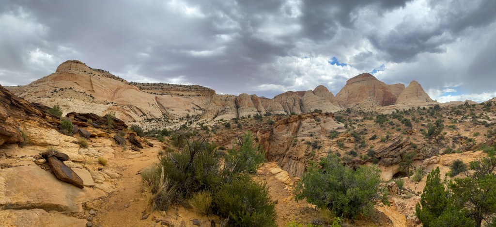
The view back out across the gorge from up near the tanks
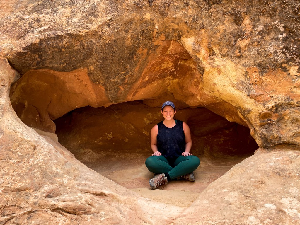
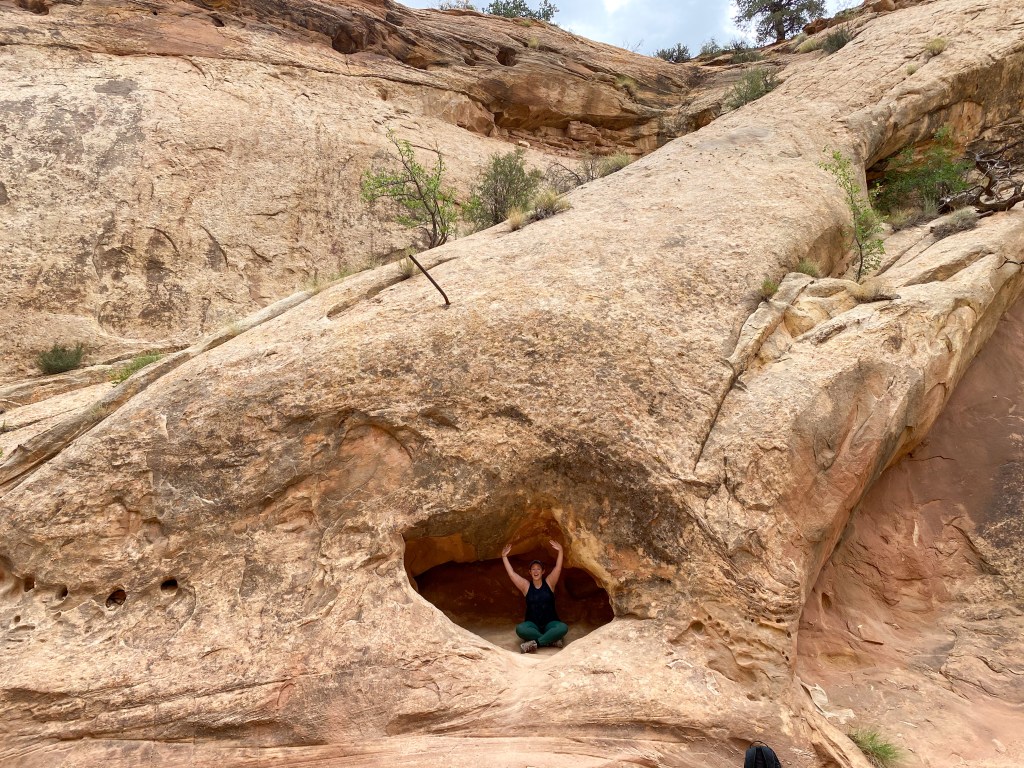
On the way back out of the gorge, I decided to climb into one of the many holes in the walls because why not!
After this hike, we set out to see the viewpoints we missed on the way down the Scenic Drive.
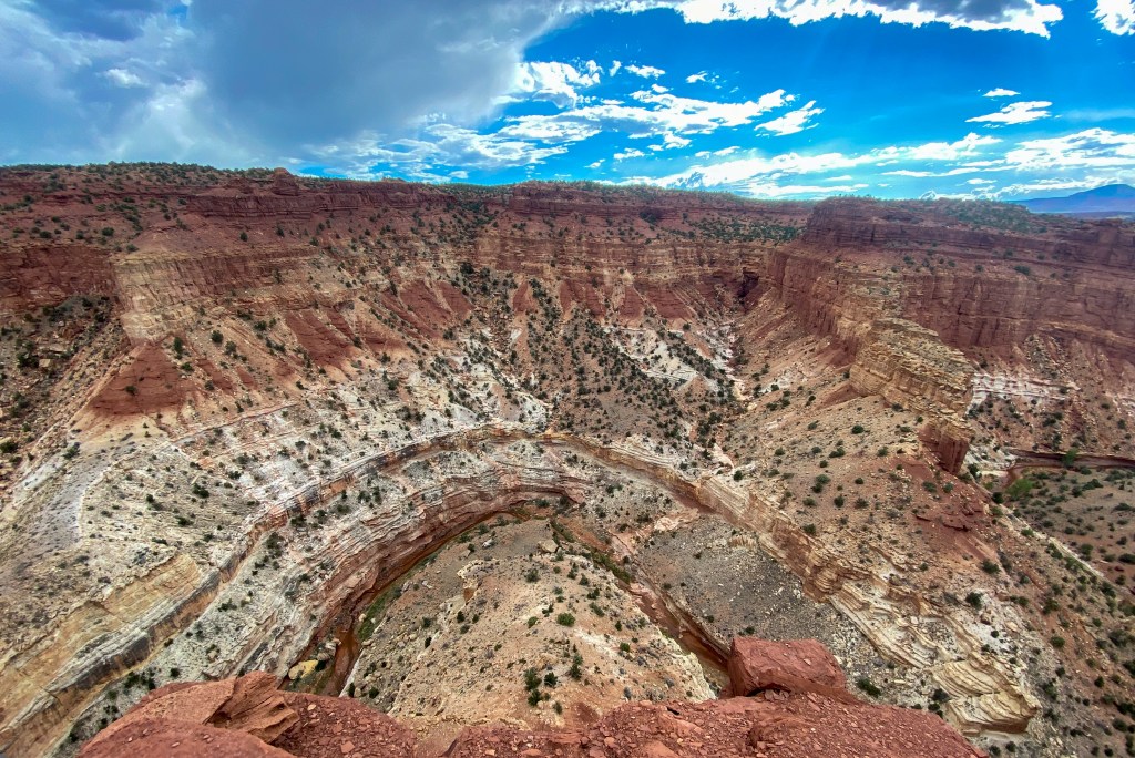
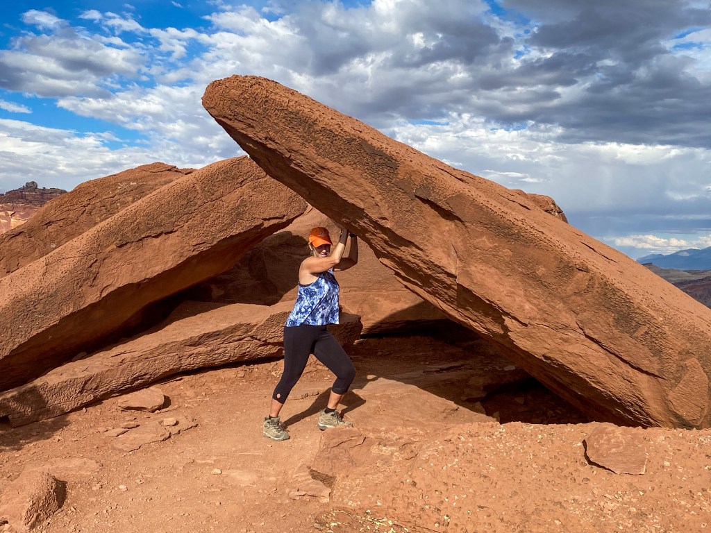
Jill “holding up a rock” at Sunset Point 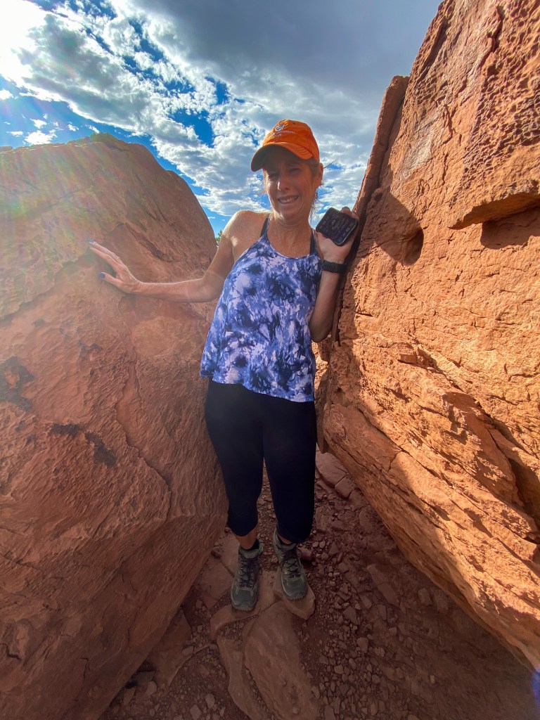
Now Jill is squeezing through more of those rocks 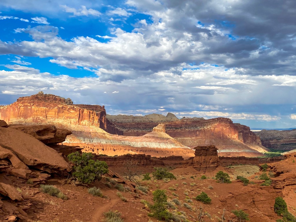
Actual view at Sunset Point
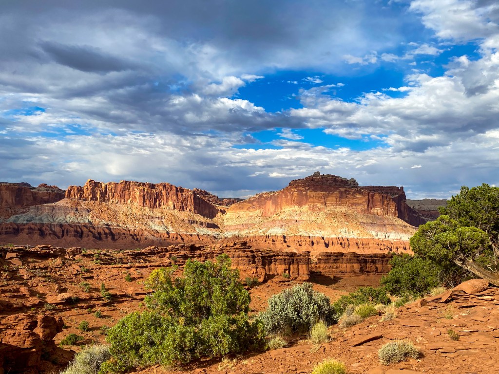
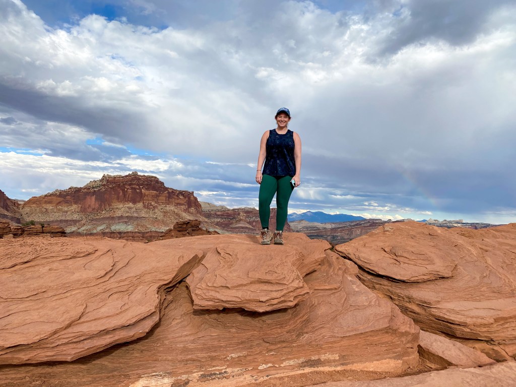
Standing on a rock at Panorama Point 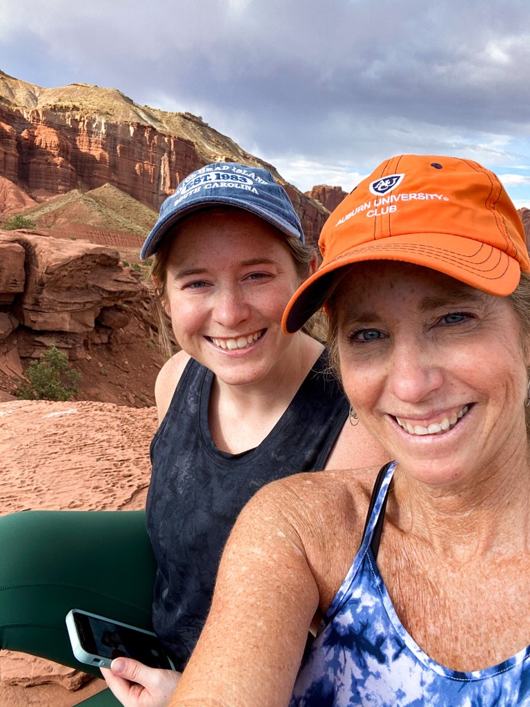
Relaxing at Panorama Point
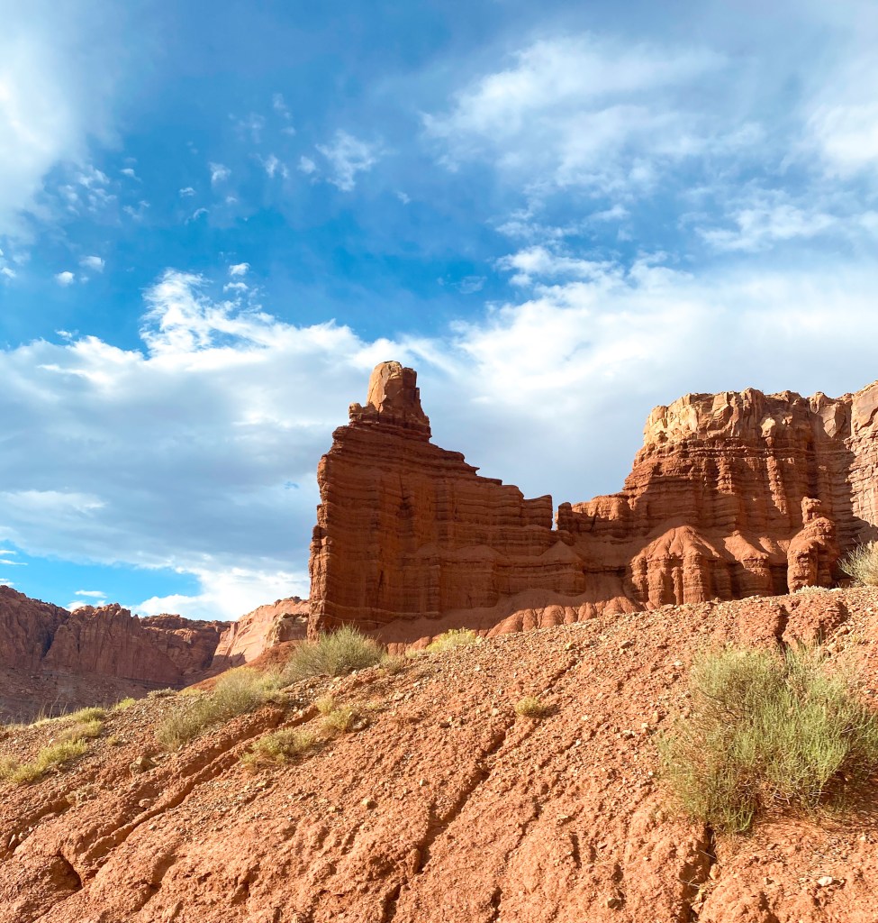
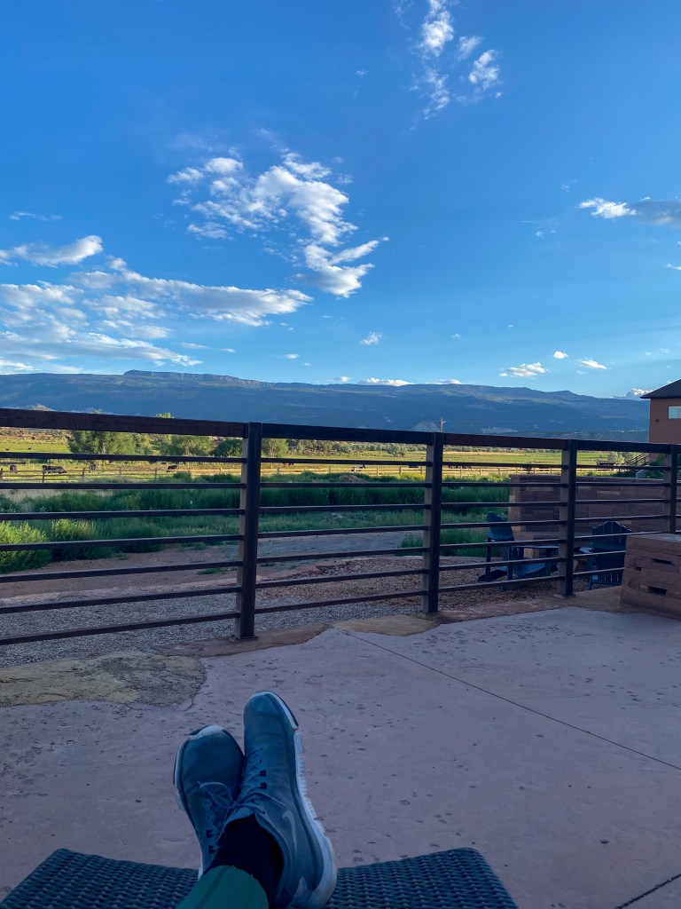
When we left Capitol Reef, there were still a few things left on the list to do and see, but we’d hit those tomorrow before leaving for Tropic, UT. Now it was time to head to our hotel in Torrey, UT – a little town outside of Capitol Reef. We stayed at this resort and spa named Red Sands Hotel. It felt so luxurious out in the middle of nowhere. I mean, there were cows in the backyard.
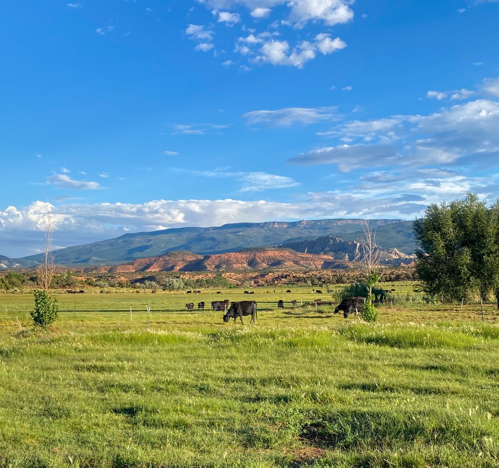
But the hotel was amazing, and the restaurant attached to it, Rock Garden, was DELICIOUS! We sat outside for a bit, relaxing, before it was time to head in for a good night sleep to make the drive on Utah-12 from Capitol Reef to Bryce Canyon tomorrow morning!
MILES DRIVEN: 155
STEPS: 16,790
MILES HIKED: ~5


