When we woke up this morning in our little log cabin, we realized today was going to be a bit different. The weather app told us it was a nice 50 degrees outside. At 8,000 – 9,000 ft elevation, the temperature wasn’t going to get over 90 today – the perfect weather to go traversing through canyons.
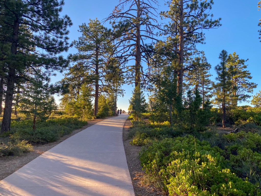
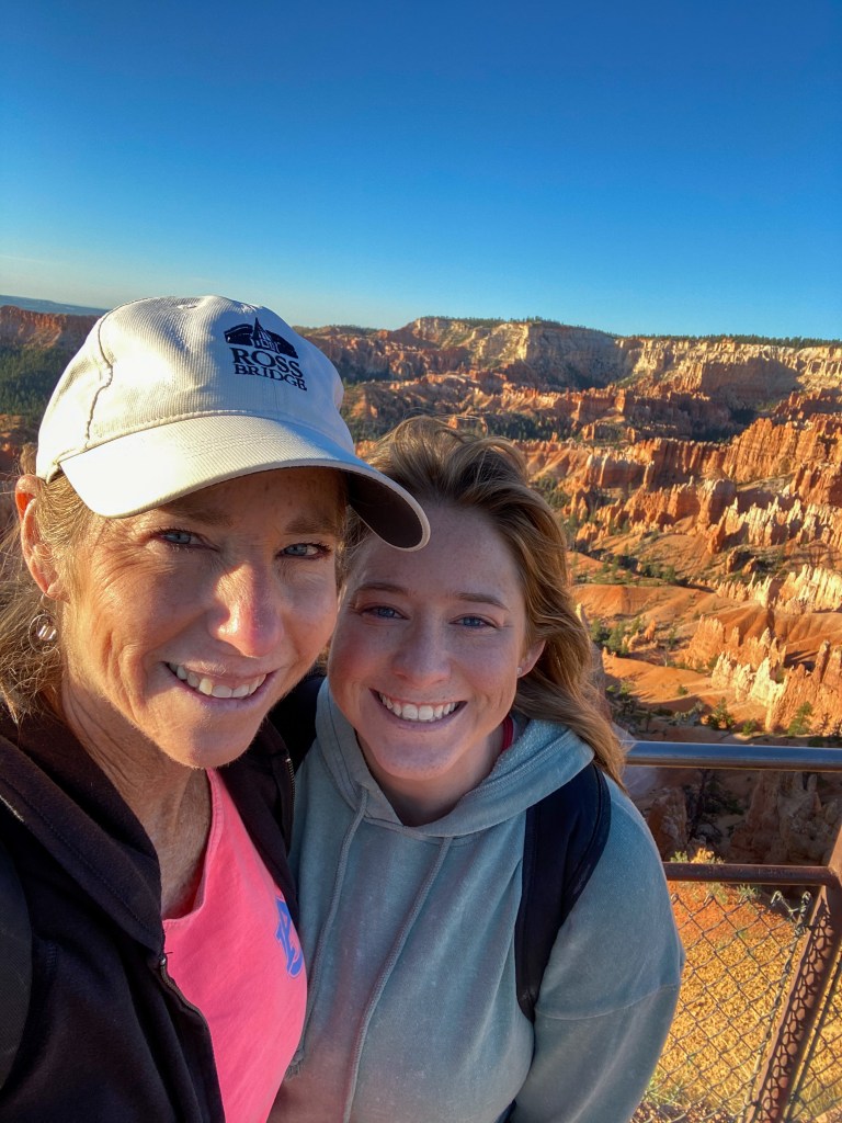
By 7am, we were parked at our first stop in Bryce Canyon National Park, jackets on. Not only was it still chilly with the sun just coming up, it was windy at the top of the canyon walls. But that wouldn’t stop us from taking in the spectacular views of the famous Bryce Amphitheater and all its hoodoos from Sunset Point.
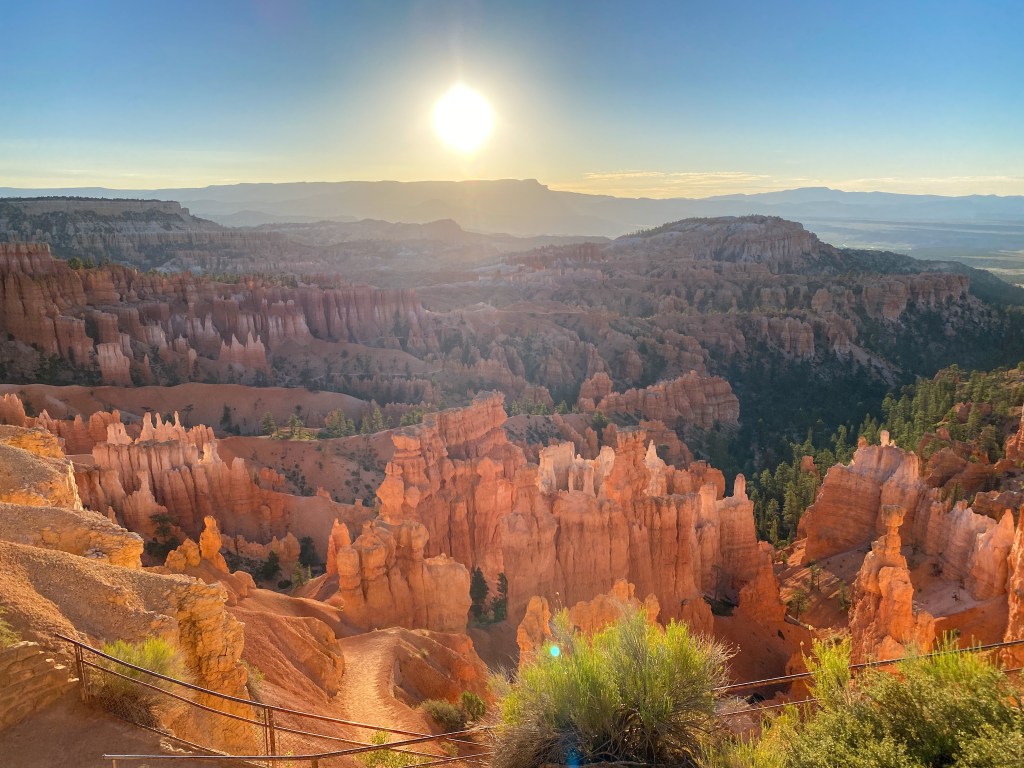
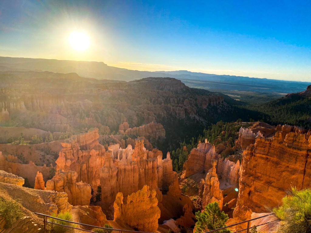
In case you’re wondering, hoodoos are tall, thin spires of rock that protrude from the bottom of an arid drainage basin or canyon. Bryce Canyon is known for its hoodoos, as it has the largest concentration of them found anywhere on Earth.
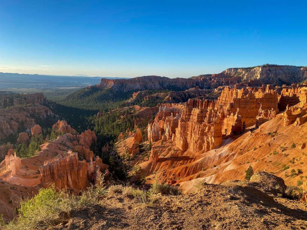
After Sunset Point, we walked along the Rim Trail to Sunrise Point. Oddly enough, people say the sunrise is better at Sunset Point, and the sunset is better at Sunrise Point. Both were beautiful, but I’ll let you all decide which sunrise pictures are better.
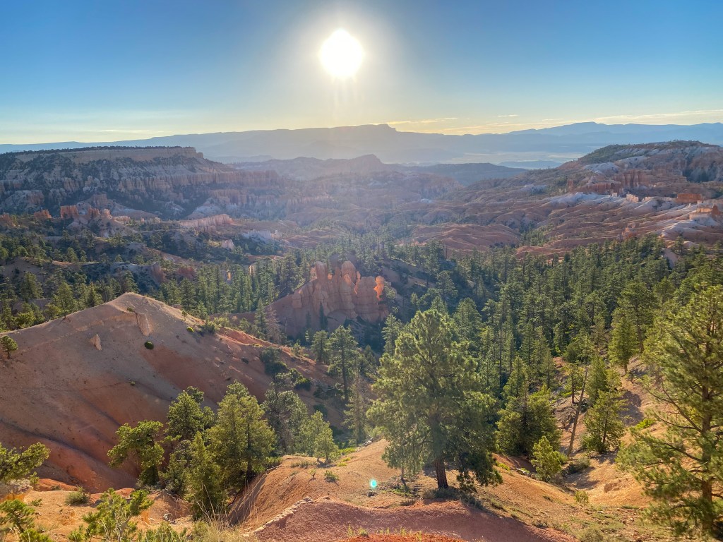
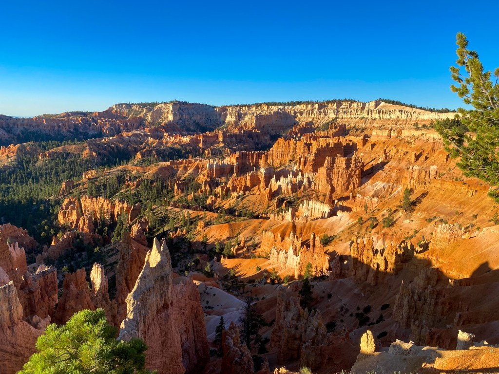
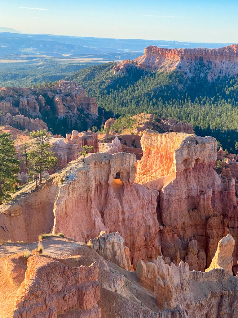
From Sunrise Point, we start our descent into the canyon along the Queen’s Garden Trail.
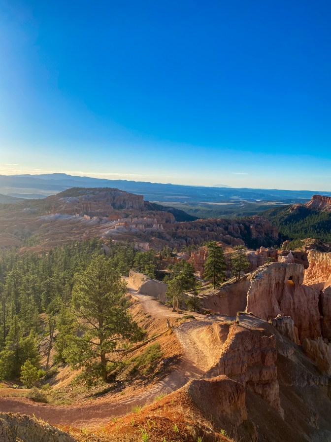
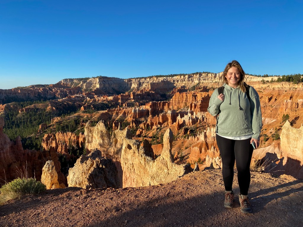
Along this trail, we get to see some of the hoodoos up close, walk under little rock tunnels / doorways, and see more of our chipmunk friends!
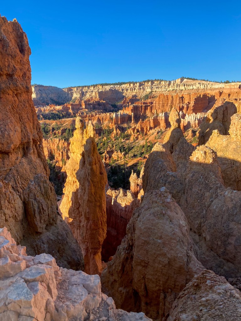
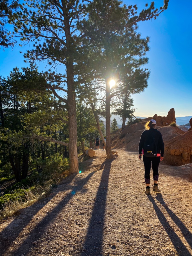
Morning sun greeting us through the trees 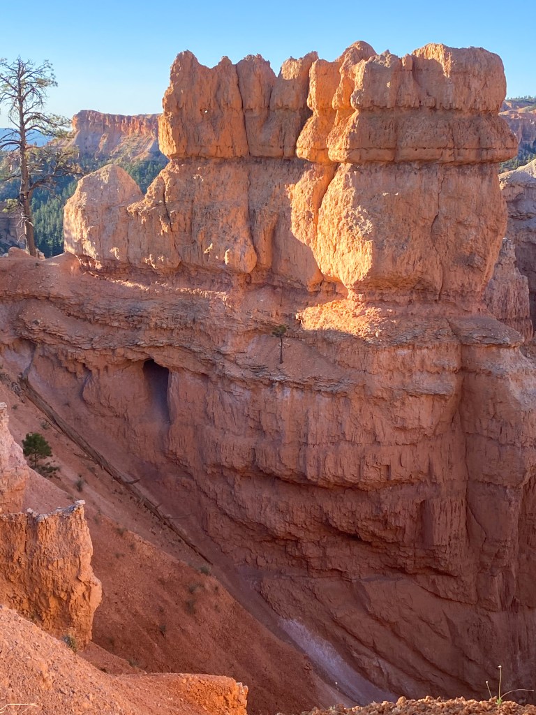
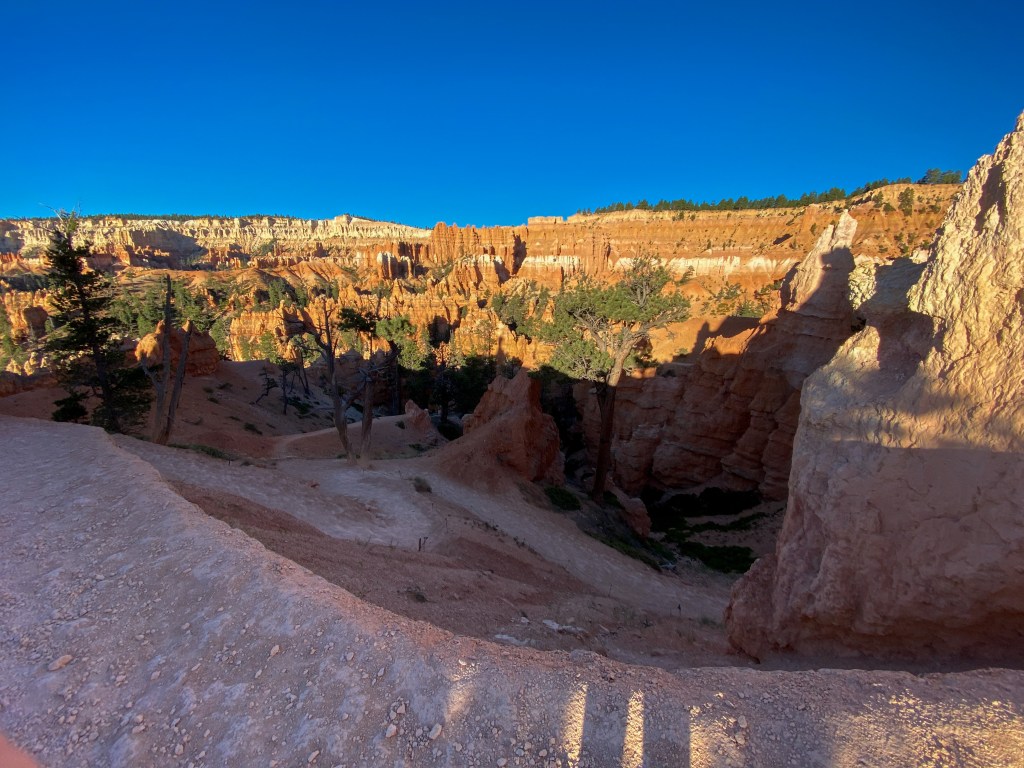
Thankfully walking down these switchbacks 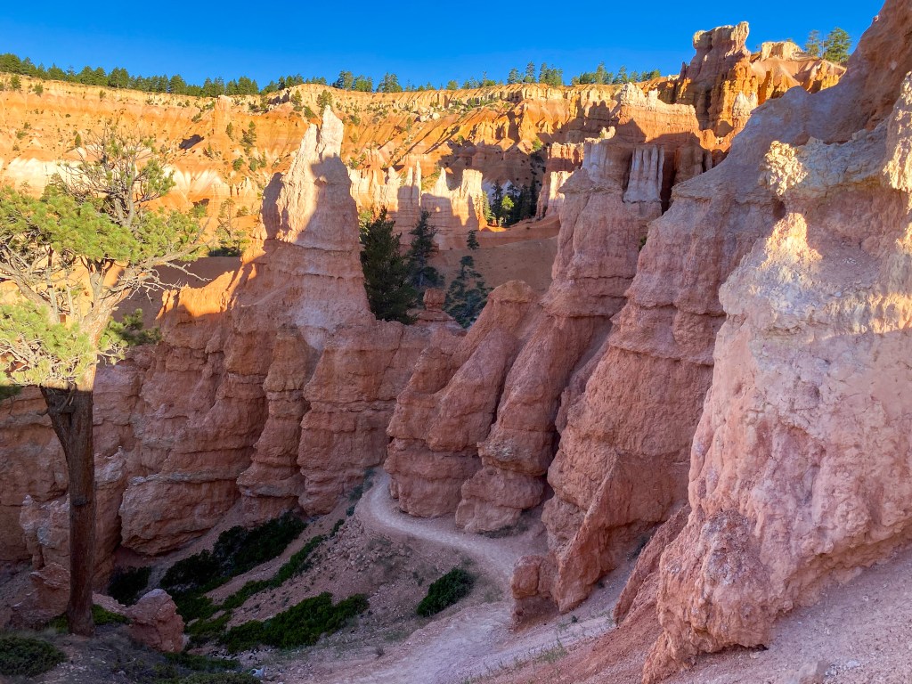
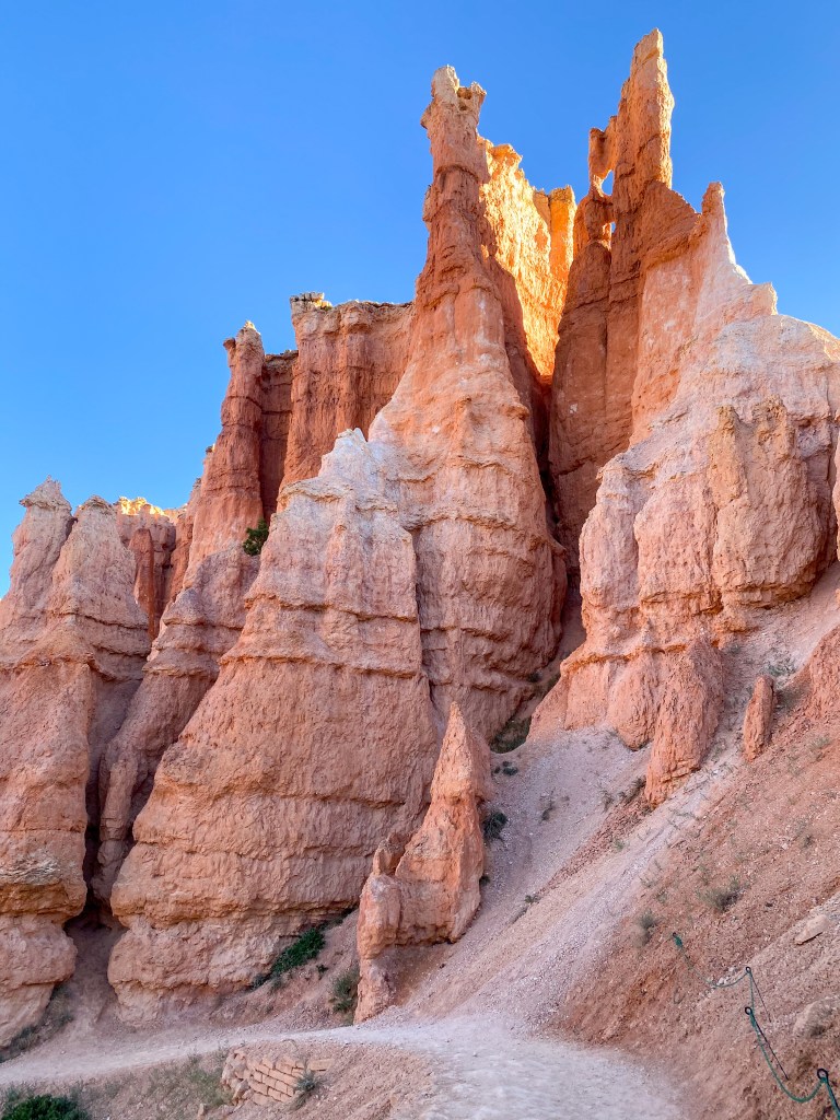
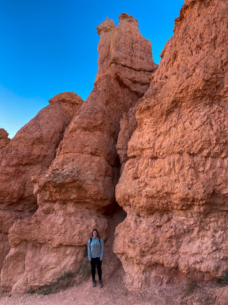
Dani standing there for reference of how big some of these hoodoos are
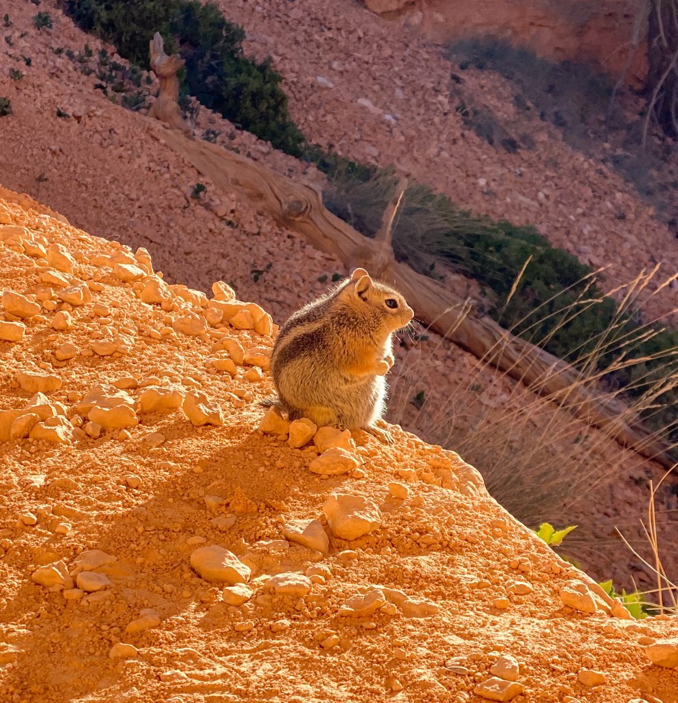
The CUTEST (and chunkiest) chipmunk!! 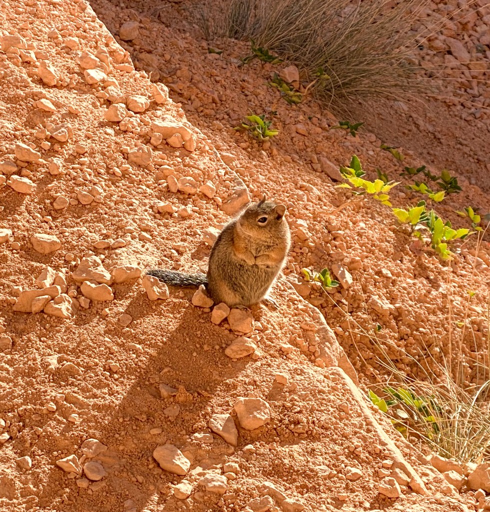
Look at his little hands!!
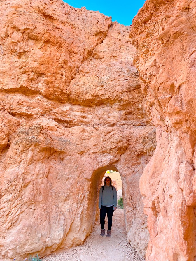
Fun tunnels on the path 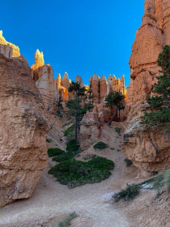
Strange to see these pockets of green 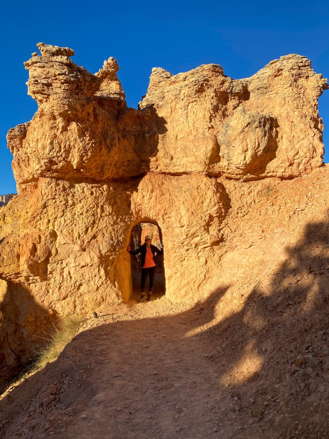
Jill joining in on the fun 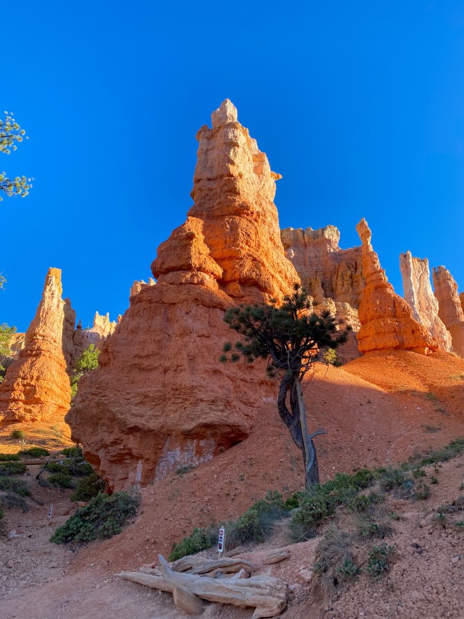
Hoodoos down in the valley
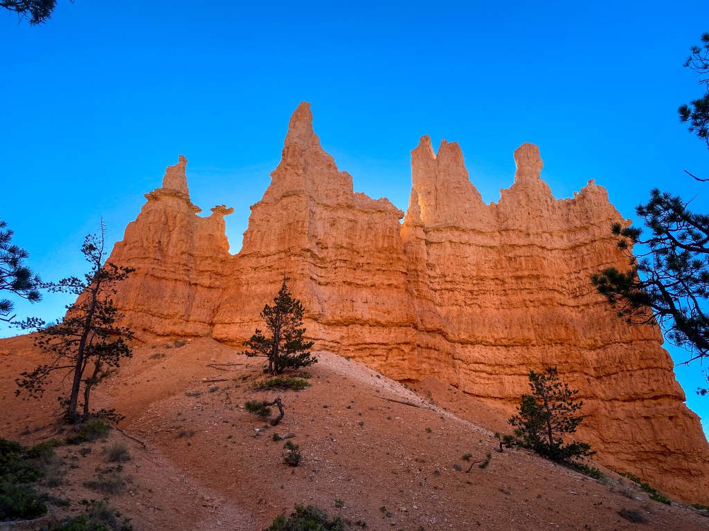
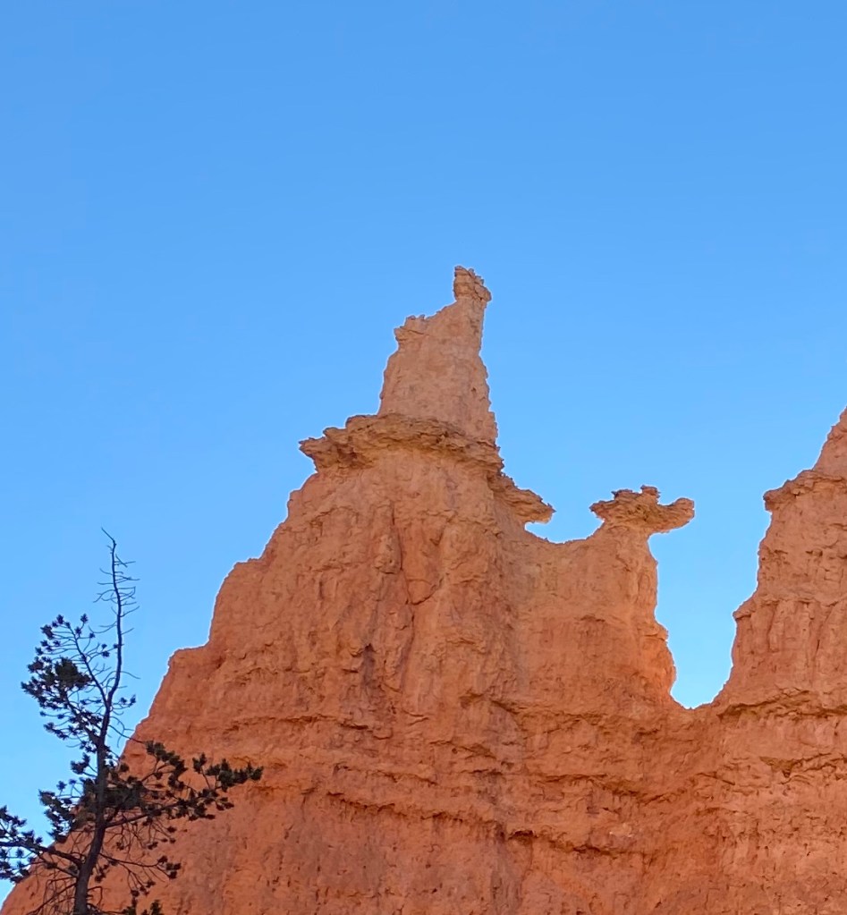
At the bottom of the trail stands a hoodoo named Queen Victoria, named after a statue in London of the queen. If you use your imagination, you can see the resemblance at the top of the hoodoo furthest to the left.
After we reach that landmark, we come to the end of the Queen’s Garden Trail. One option is to just turn back around and go back up to the top. But we take one of the connecting valley trails to another popular hike in the canyon.
On this valley trail, we see how different the view is from the bottom. The hoodoos and trees are now towering over us instead of us looking down at them.
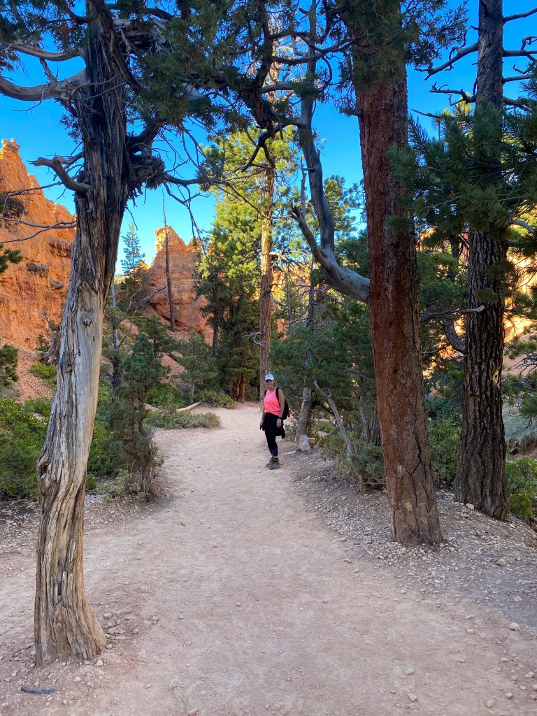
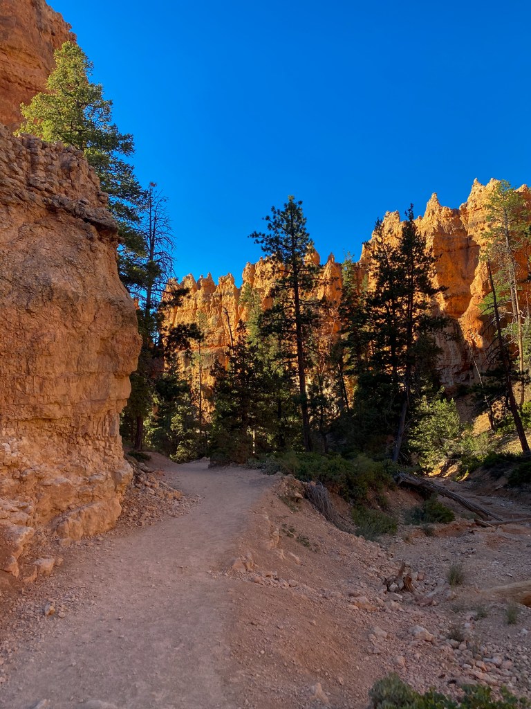
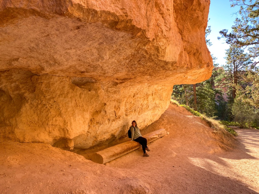
There are benches along the way under shaded rocks – love to see it! 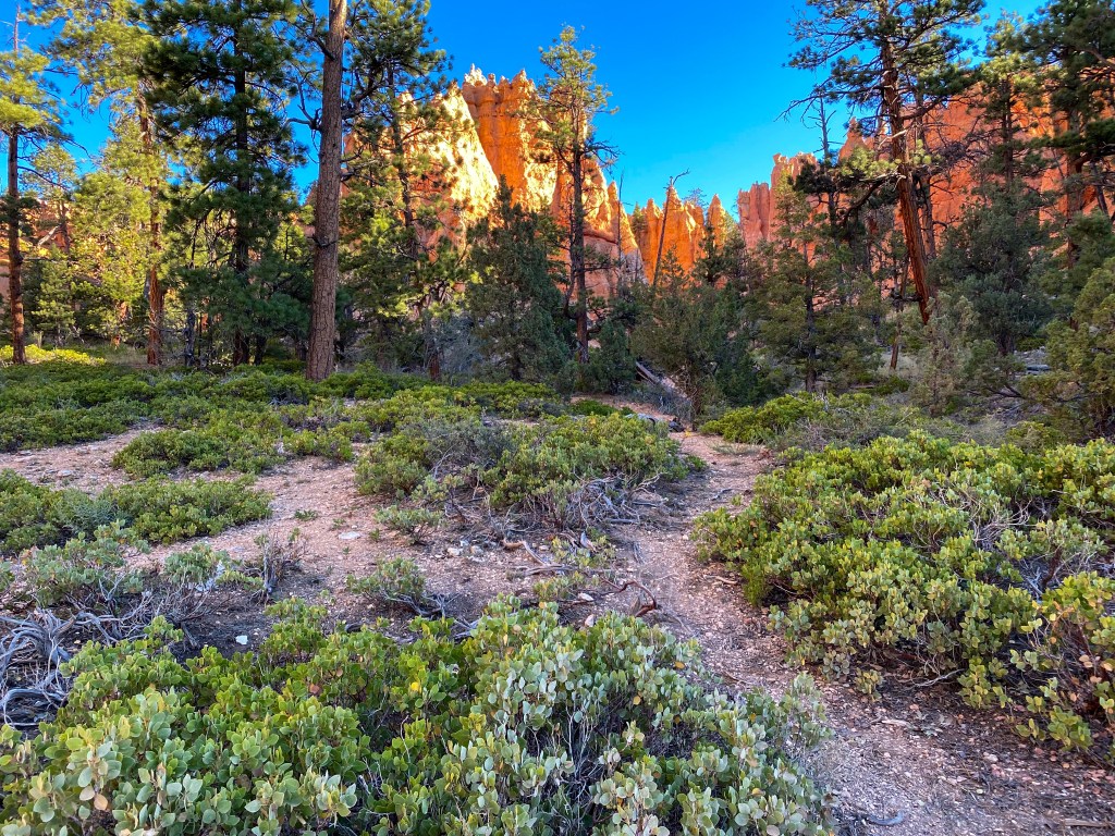
So much more vegetation down in the valley of Bryce Canyon
We reach another crossroads, where you can decide to head up one of the Navajo loop sides or take a small trail to the Peekaboo Loop. Feeling adventurous, we opted for the latter.
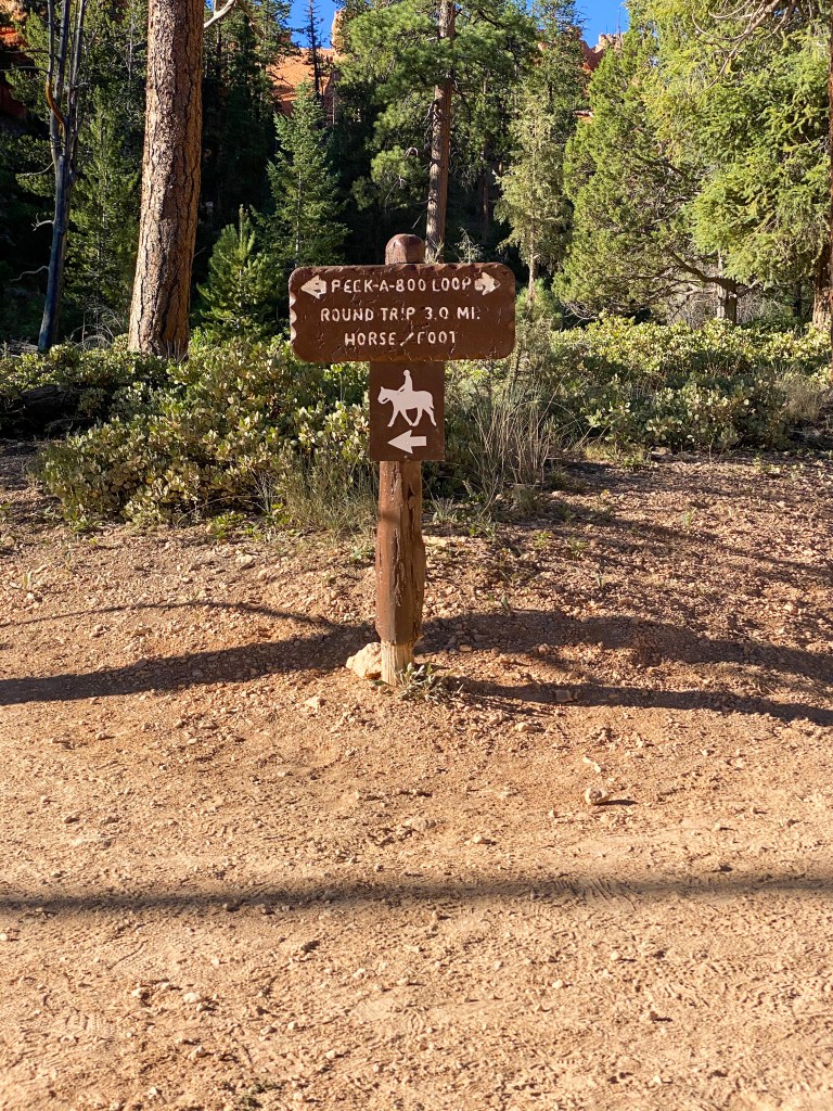
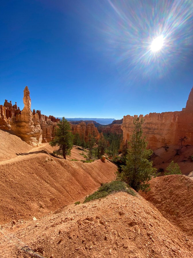
The Peekaboo Loop is a 3 mile loop that is also a horse and mule trail. After hiking up the first hill, I feel really bad for those horses. The trademark of this hike is the never-ending ups and downs along the trail. Once you indulge in the respite of walking downhill, it’s time to walk back up again.
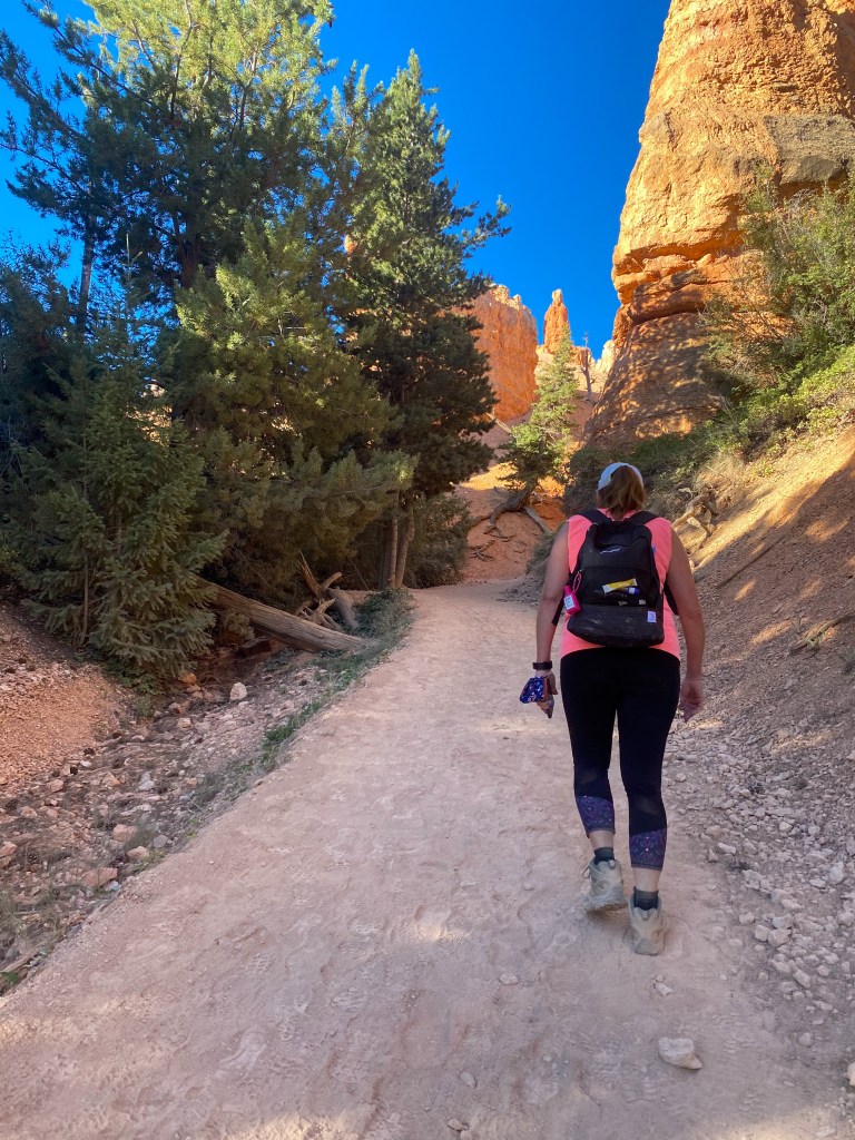
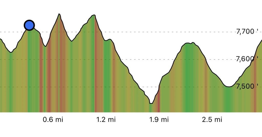
The good thing is there’s plenty to see along the way!
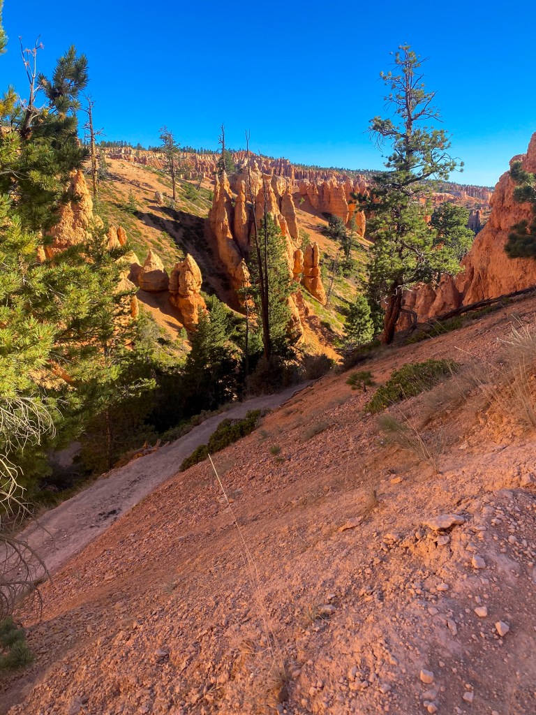
Looking back at an uphill climb 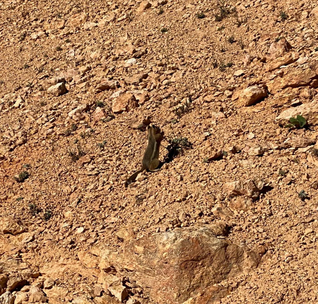
Saw another adorable chipmunk! 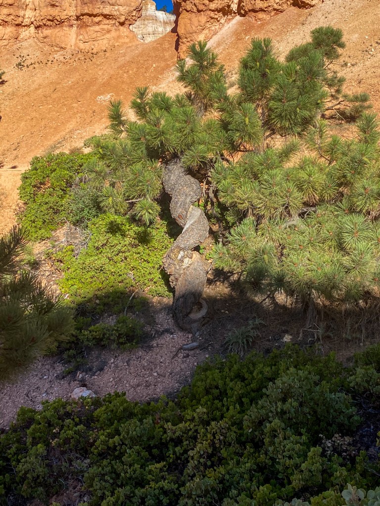
The trees sometime grow is the strangest shapes 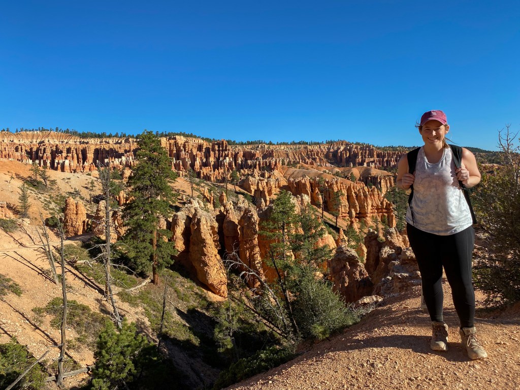
From the top of one of those hills
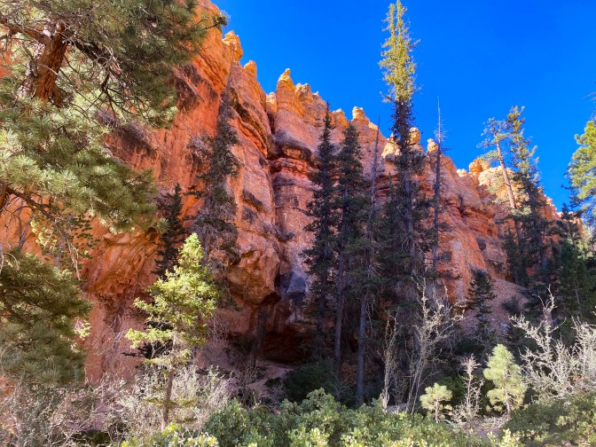
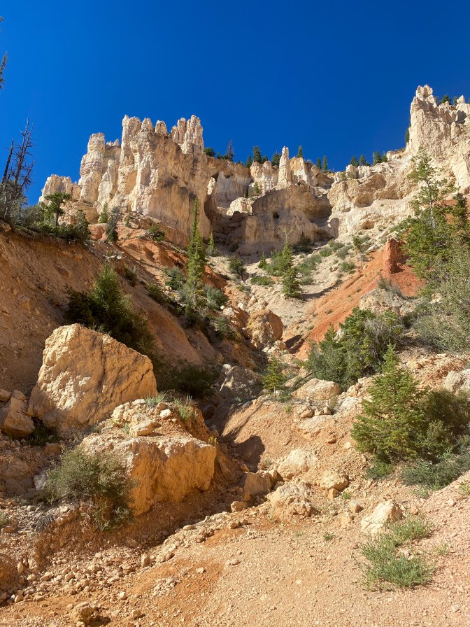
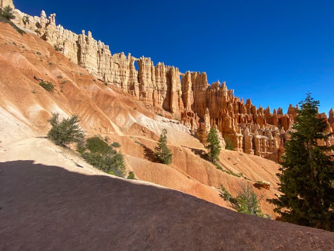
The Wall of Windows landmark 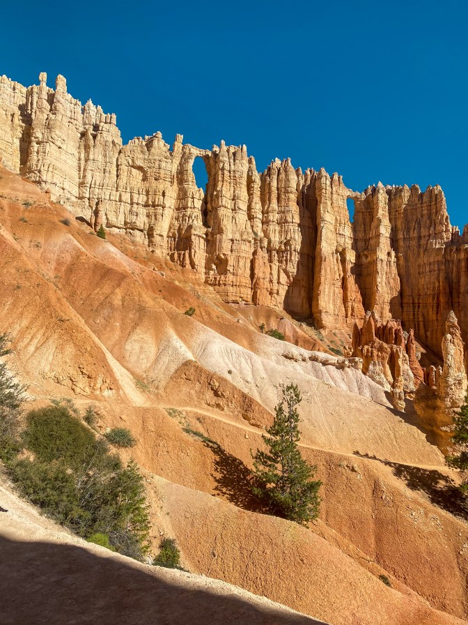
Wall of Windows 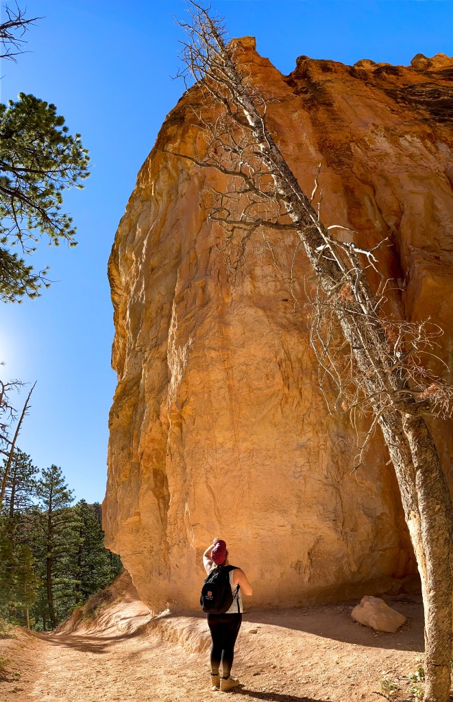
These rocks (and slanty trees) are really REALLY tall
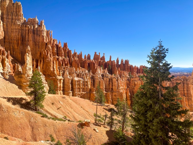
So many hoodoos! 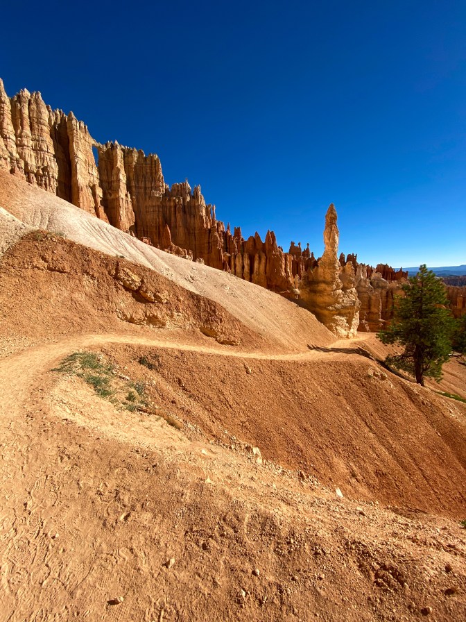
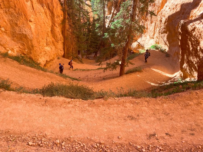
We had to walk up these switchbacks unfortunately 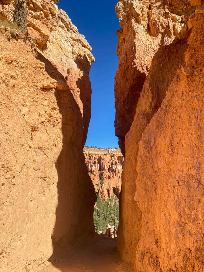
This little sliver was the strongest wind tunnel ever 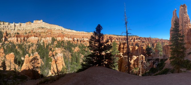
We make it back to the crossroads with the Navajo Loop and decide to head up the trail to Wall Street (the only slot canyon in Bryce Canyon NP). The thing about the Navajo loop is it’s just that – a loop. So when you come down into the canyon at the beginning, you know you have to go back out. We are hitting the loop in the middle, so it’s just a 625 ft climb out of the canyon for us.
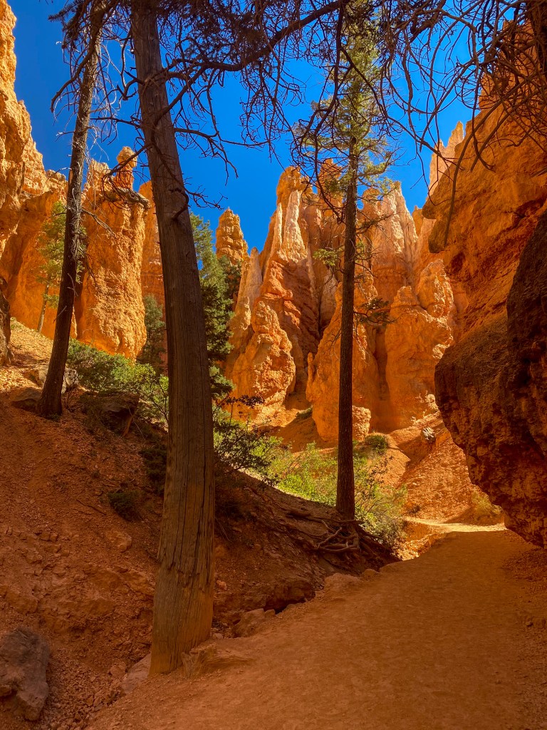
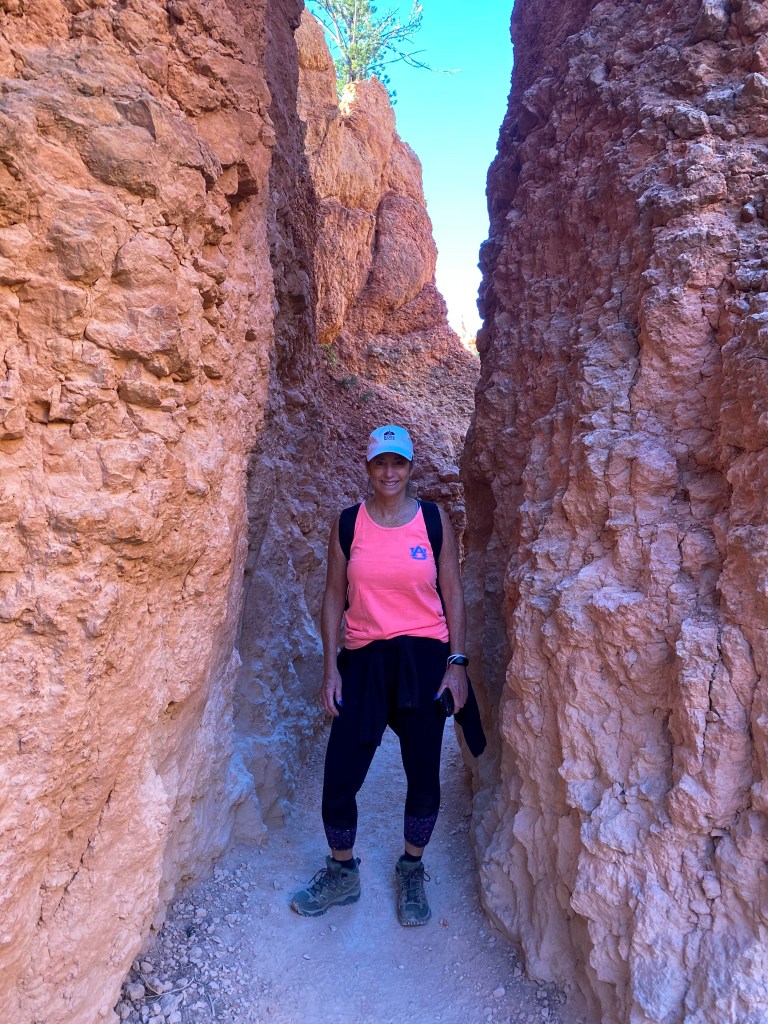
The climb is all worth it to walk through Wall Street. It might not be a long section of the hike, but it was one of the best parts. The canyon walls close in on you, and the place just feels majestic. It was also shaded, which is always welcome!
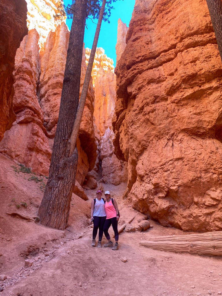
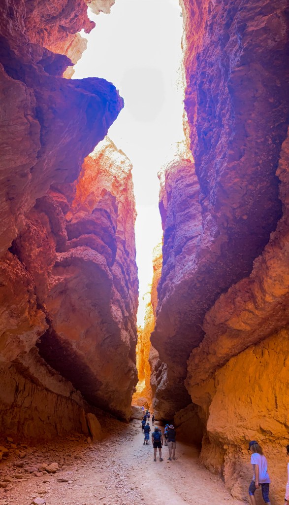
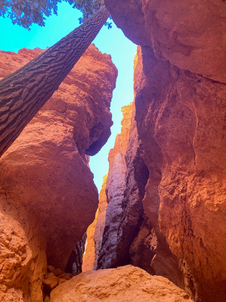
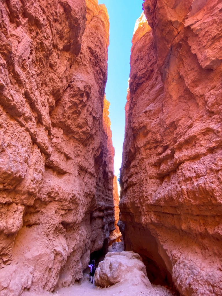
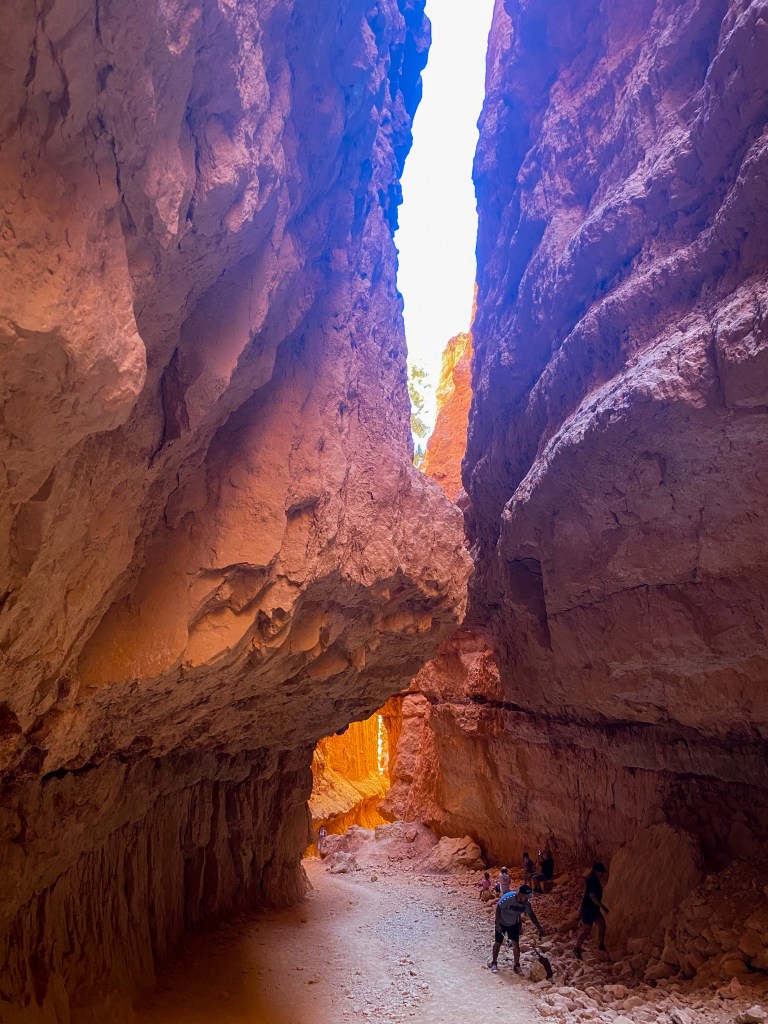
After Wall Street, it’s time for the true climb. The switchbacks. Slow and steady wins the race is definitely the mantra that was going through my head during this. Not to mention we’re walking uphill the entire time, but we’re at 8,000 ft elevation, so we’re already out of breath to begin with (Sandy Springs, GA is only 1,093 ft in elevation).
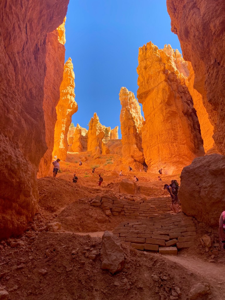
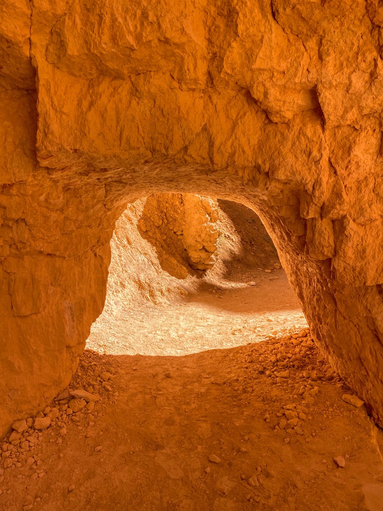
A little tunnel you could crawl through (the kids on the trail loved it) 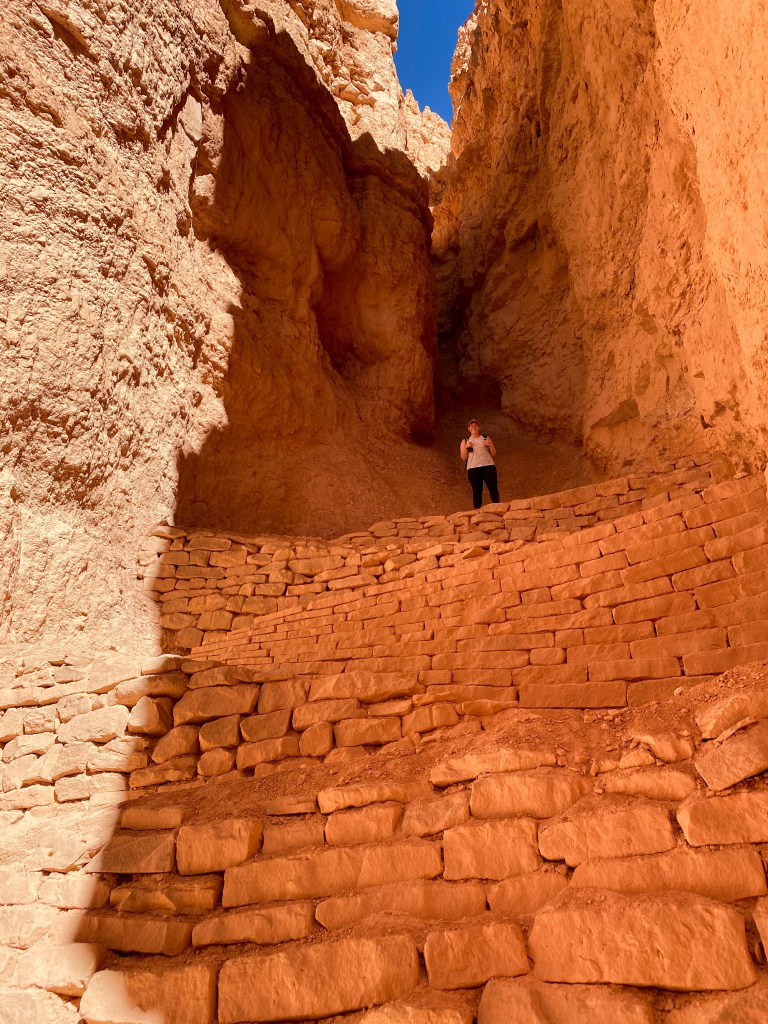
We’re almost there!
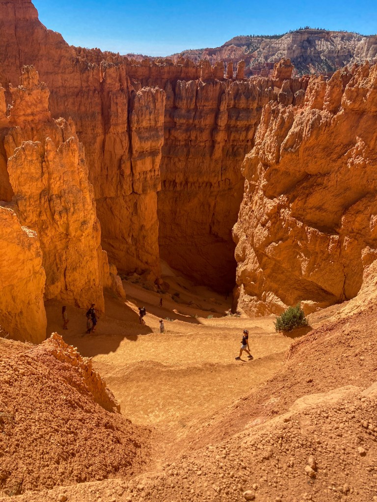
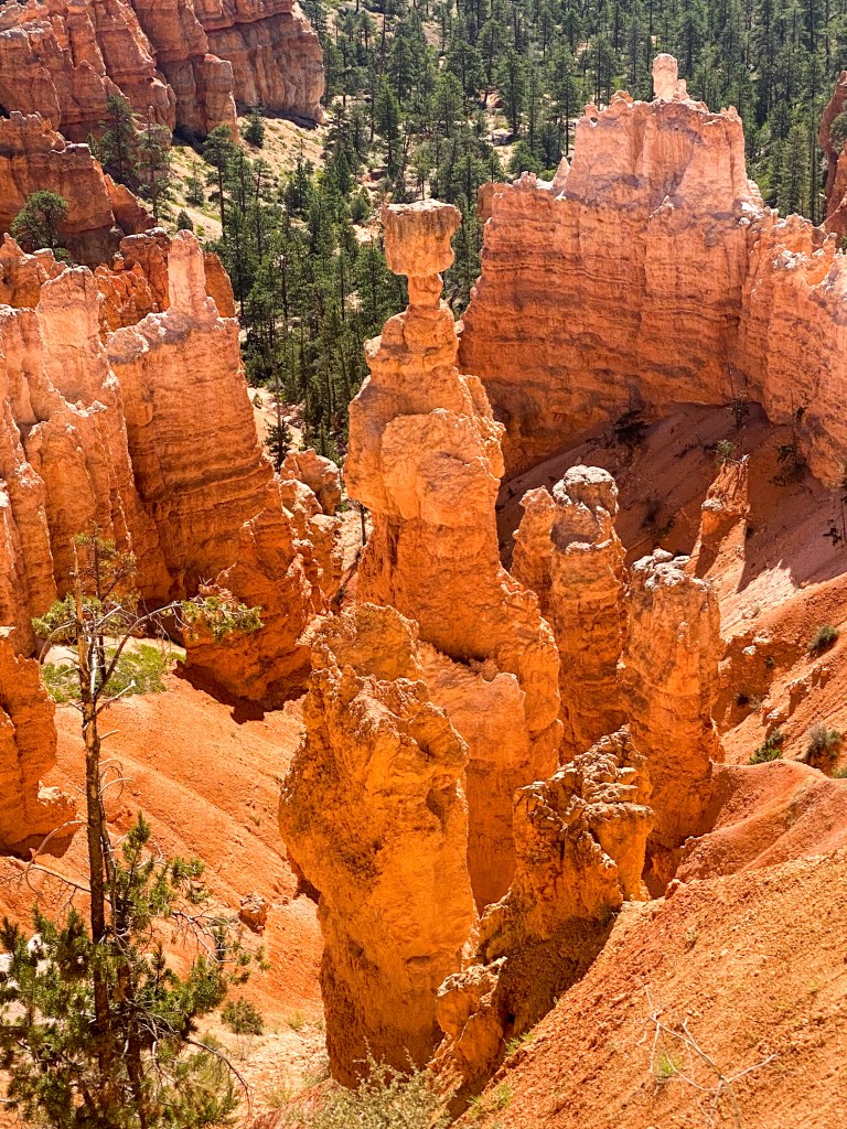
We did it! 6.4 miles in total – called the ‘Figure Eight’ hike, as we make two adjoining loops – the Peekaboo loop and the Queen’s Garden/Navajo loop. Before hopping back in the car, we walk to the other side of the Navajo Loop to snap a picture of an aptly named hoodoo – Thor’s Hammer.
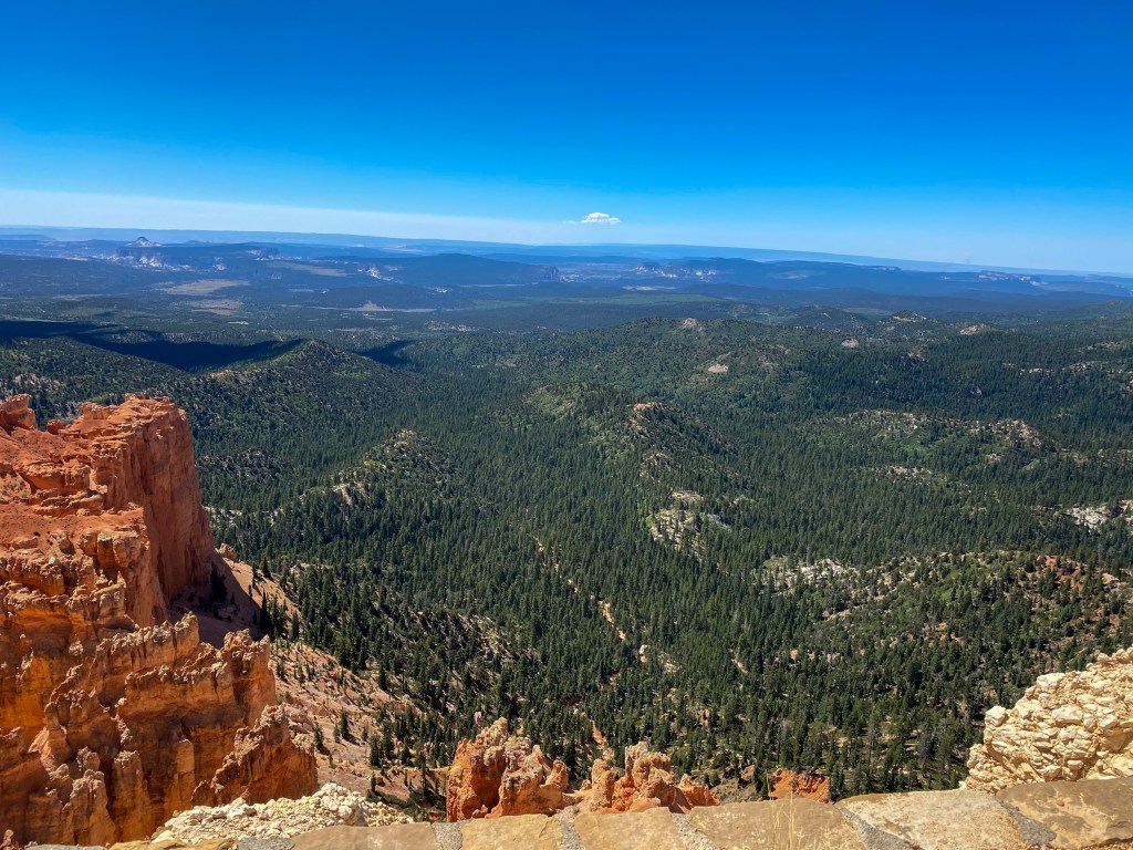
I think we earned a nice break, so we take a leisurely 18-mile drive out to the end of the park. We luck out finding a parking spot (Woo!), and head out to the first viewpoint – Yovimpa Point. This is one of the only points where you can see a large portion of The Grand Staircase, an immense sequence of rock layers that stretch south from the pink cliffs of Bryce Canyon (top layer) into the Grand Canyon’s North Rim Chocolate Cliffs. From this point, you can see the top three layers – the pink cliffs, the grey cliffs (much of the trees you see), and the white cliffs further back toward the horizon (this layer is what Zion National Park is made of).
From Yovimpa Point, we start the next hike, an easy 1 mile loop called Bristlecone Pine Loop. It takes us through the forests at the highest point in the park – 9,100 feet in elevation. This forest is made up of Blue Spruce, Douglas Fir, White Fir, and Bristlecone Pines that are over 1,800 years old!
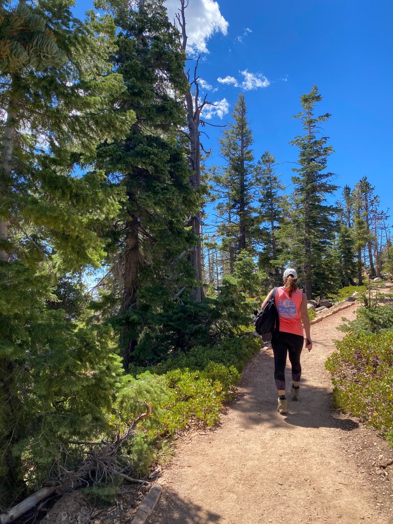
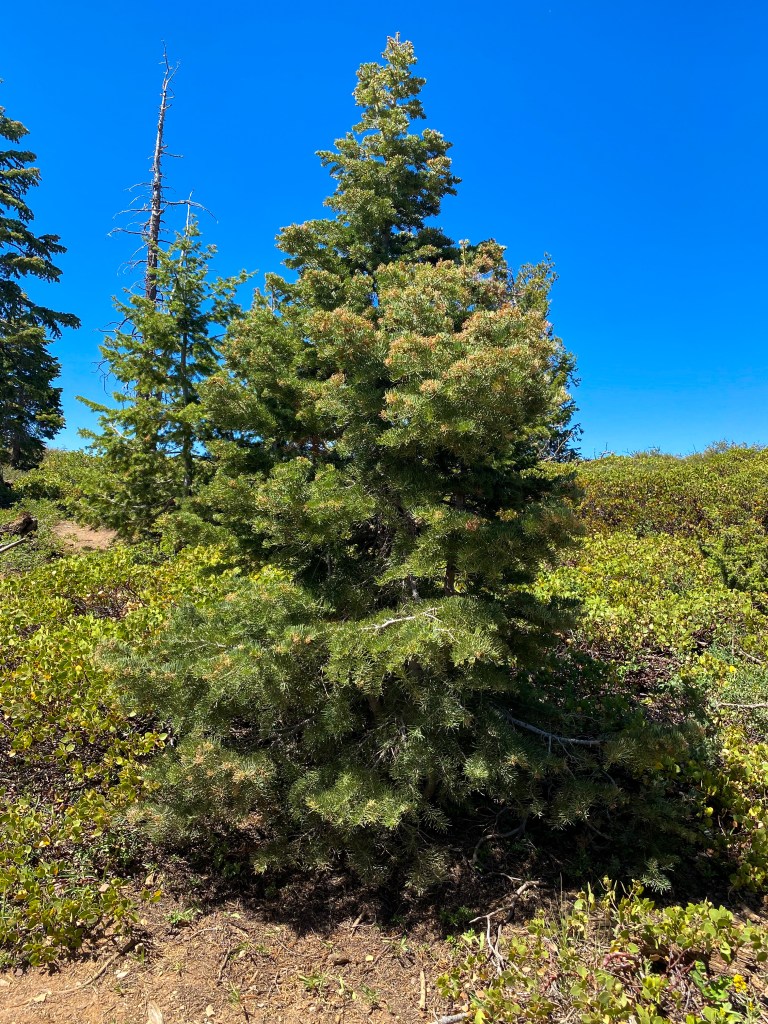
Christmas in July! 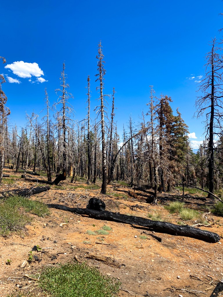
The park routinely does controlled burns to help the underbrush regrow 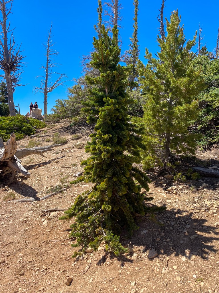
Little Christmas in July! 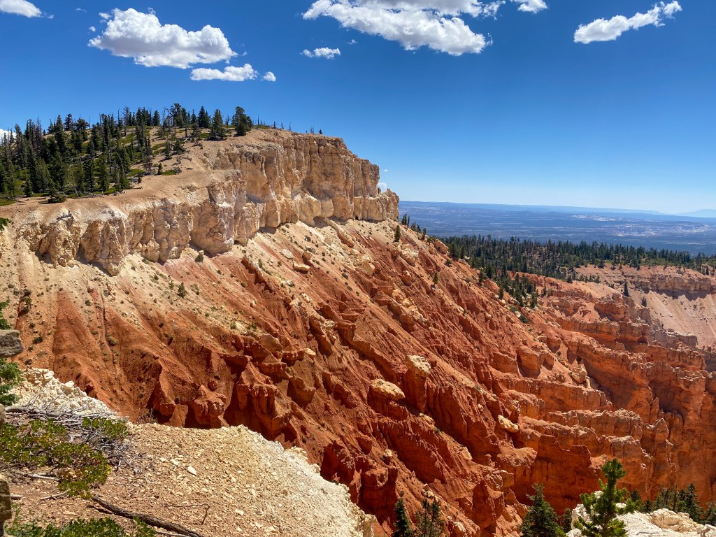
Beautiful ombre cliff 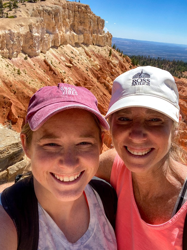
And now we’re blocking that cliff
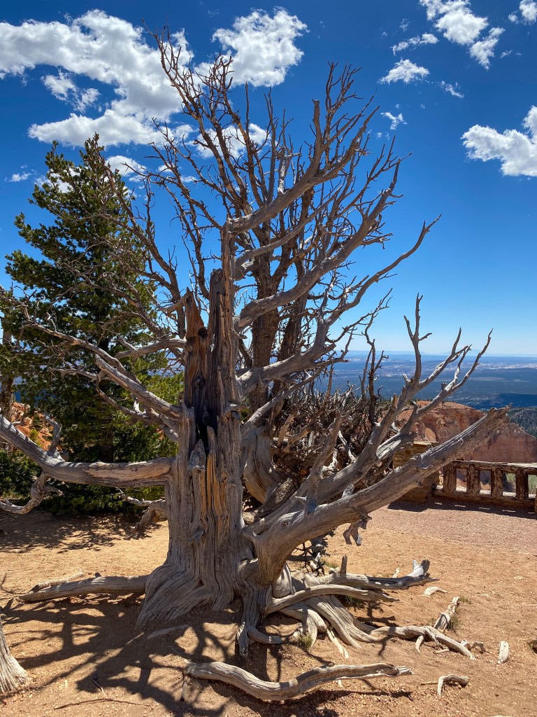
The trail loop leads us to Rainbow Point, an overlook showing you the entirety of the park back to the north.
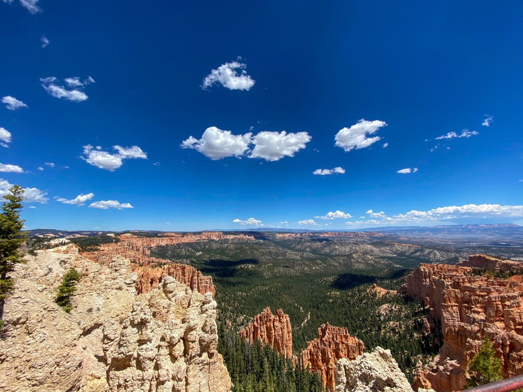
You can also see the Aquarius Plateau from across the valley. The Paunsaugunt Plateau that Bryce Canyon is on used to be connected to that plateau that’s now 30 miles away. Crazy to think how much this land has changed and how it will continue to change into the future. These parks will look completely different in the next 100, 1000, 10,000 years.
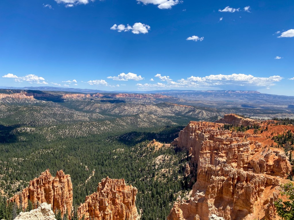
On our way out of the park, we stop at all of the overlooks to take in every view of Bryce Canyon National Park.
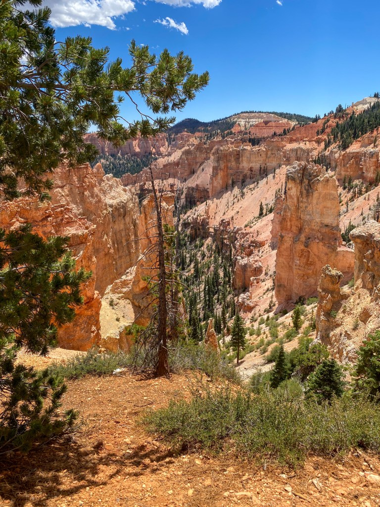
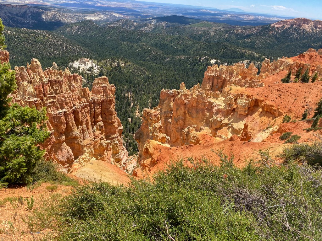
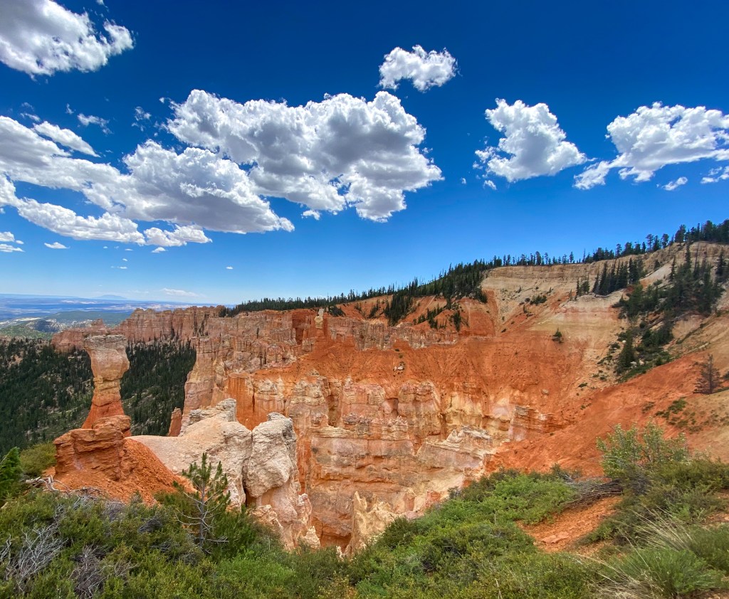
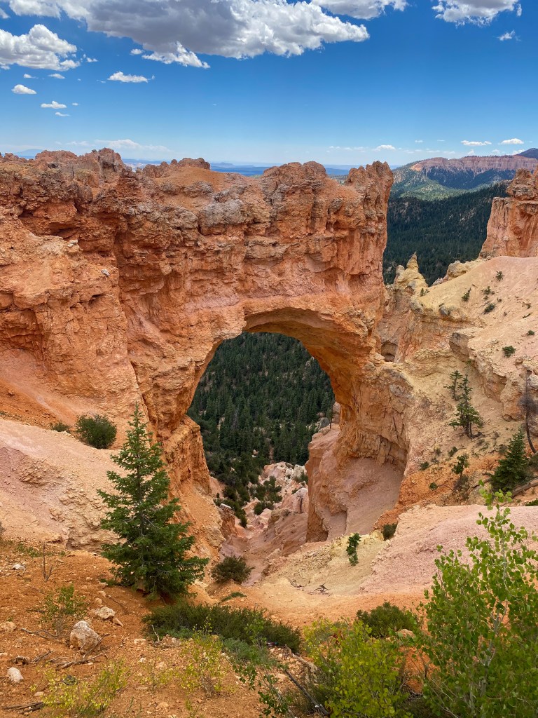
Natural Bridge – Elevation: 8,627 ft 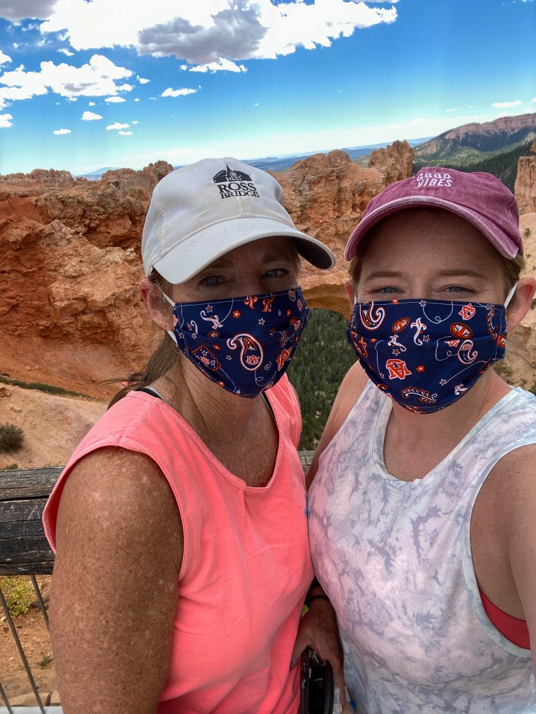
Mom and I with the bridge
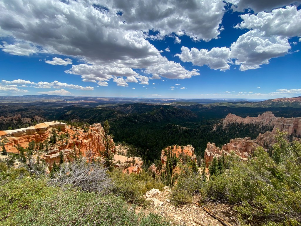
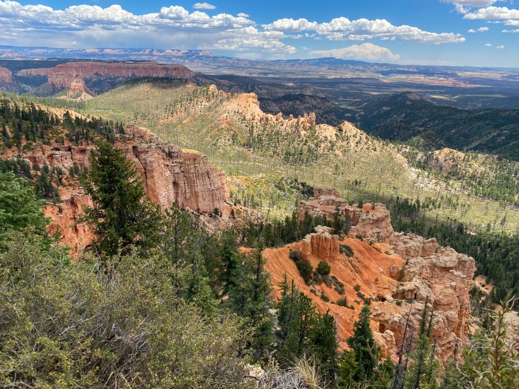
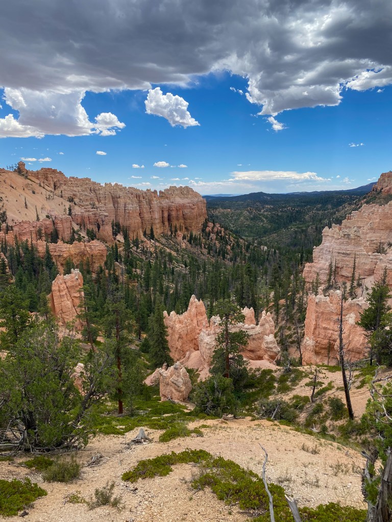
Piracy Point 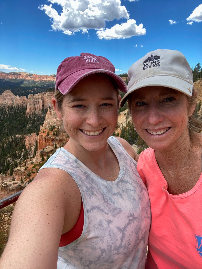
Mom and I at Piracy Point
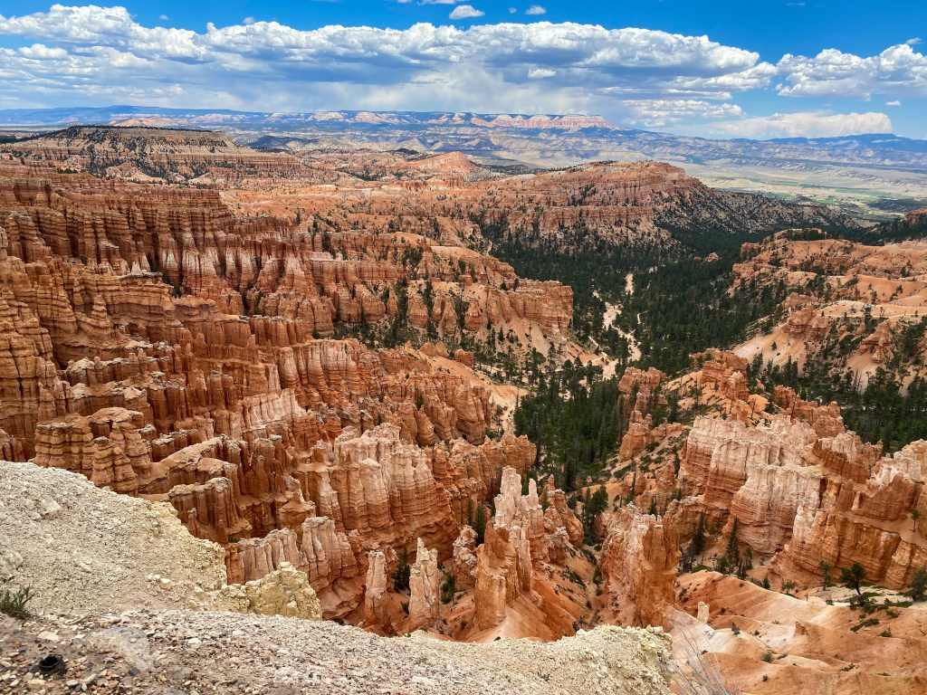
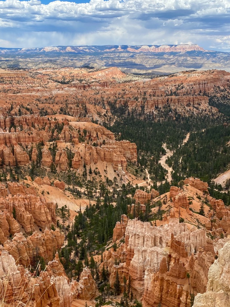
You can see the Navajo Loop trail from here 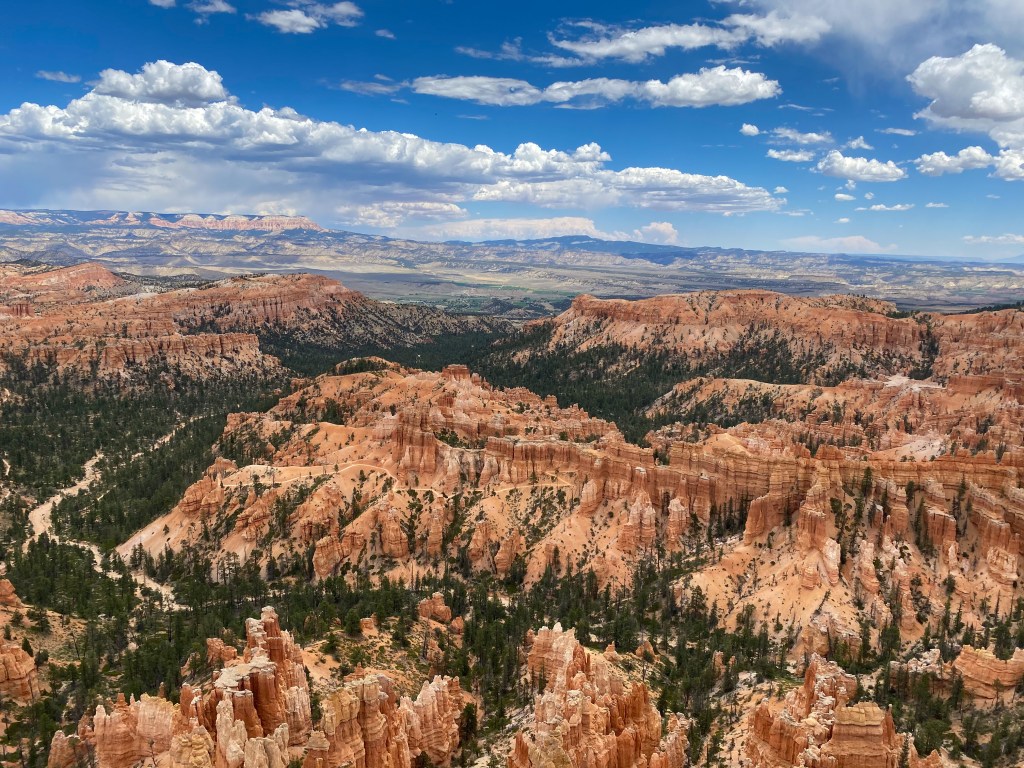
You can see the Peekaboo Loop trail from here
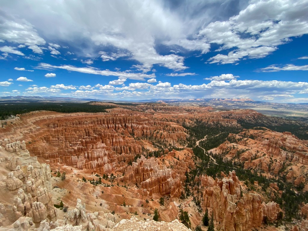
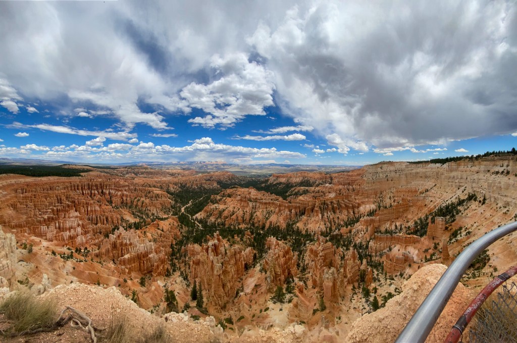
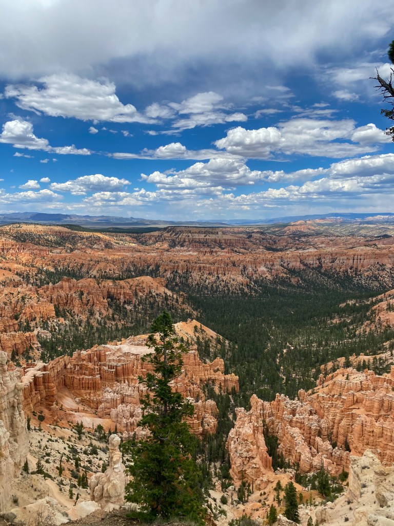
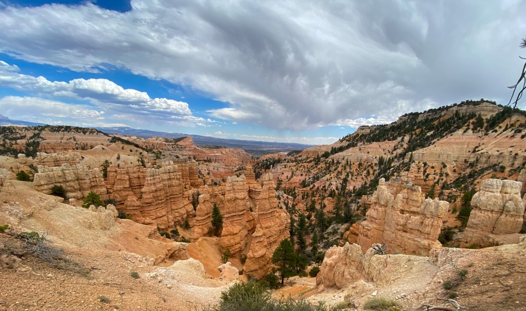
And that’s Bryce Canyon National Park! We head back to Tropic to get some dinner from IDK Barbecue (voted the best BBQ in Utah!) and get a good night sleep for the road to Zion tomorrow!
STEPS: 26,549
MILES HIKED: 10+
CHIPMUNKS SEEN: So many, and they are the cutest things in the world.


