We finished with our 5-park adventure, but luckily, there was still one more day of activities and sights to see before making the long journey home. We headed back to SR-9 through Zion one last time to get back on HWY 89 south to Kanab, UT. The first stop was to the “Belly of the Dragon.”
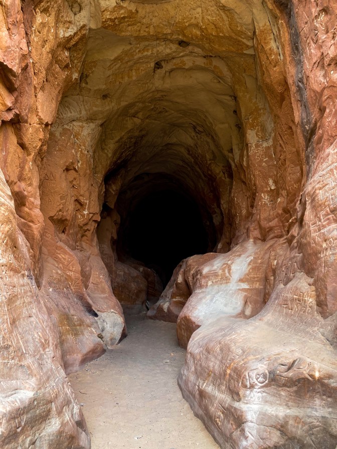
This place looks way cooler than its actual purpose – we look like we’re headed into a never-ending cave deep within the mountains, but it’s actually just a tunnel under Highway 89 used as a drainage tunnel for the upper canyons that feed into the North Fork River.
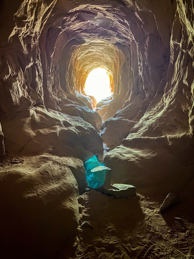
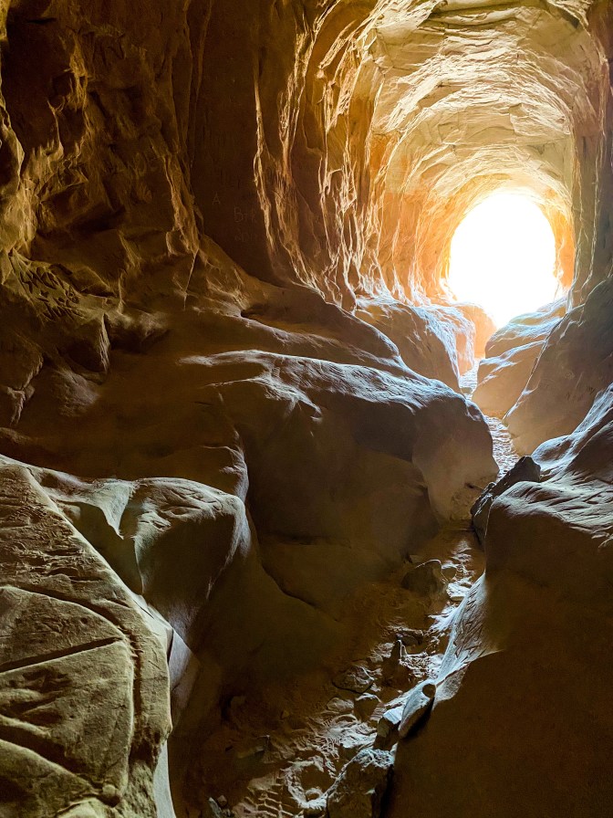
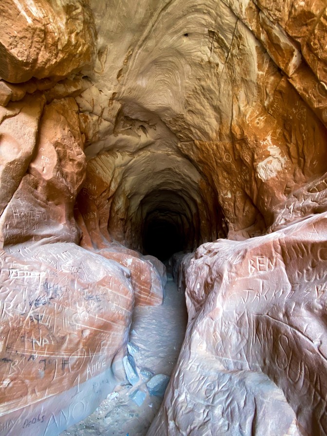
What’s interesting about it is it’s lined with visitor’s initials throughout the entire tunnel.
The next little pit stop would have been longer if it wasn’t beginning to rain – The Sand Caves outside Kanab. We just got a picture from the road because I wasn’t about to hike up the side of a rock when it’s wet, but apparently these are a prime Instagram spot. So suggest stopping here for an artsy picture when it’s not raining.
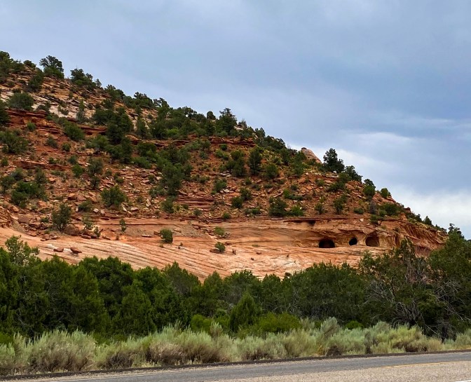
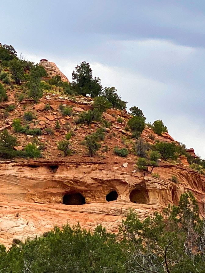
We arrived in Kanab and went to the Information Center to figure out if we wanted to take HWY 89 or 89A on our way down to Flagstaff. We chose 89A that goes into Arizona immediately, so we waved bye to Utah for good!
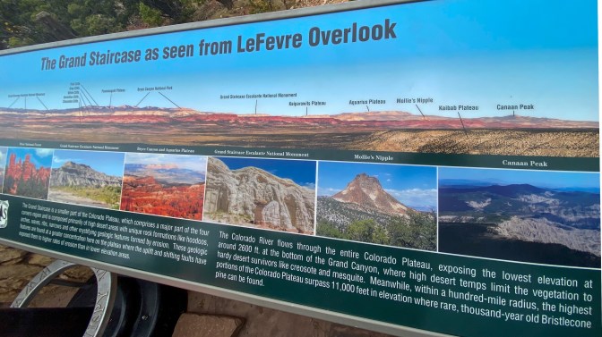
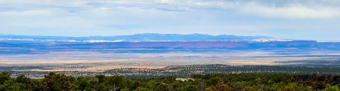
The first stop on 89A is the Le Ferve Overlook. At this overlook, we get the rare chance to see all the ‘steps’ of the Grand Staircase.
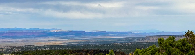
If you look on the left-hand side of the picture above, starting from the bottom of the cliffs, you can see the Chocolate, Vermillion, White, Gray, and Pink cliffs rise over each other like a staircase.
The next stop was a place called Jacob Lake. There is in fact no lake but the Jacob Lake Inn and their famous homemade cookies! We got a half dozen to bring with us for the car ride home.

Yummmmmm! 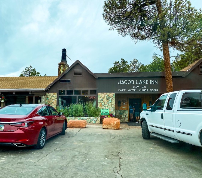
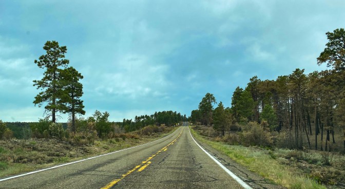
Jacob Lake is nestled in the Kaibab National Forest – a 1.6 million acre forest bordering both the North and South Rim of the Grand Canyon (Jacob Lake is about 45 miles away from the Grand Canyon North Rim). For the most part, it was a gorgeous, green forest.
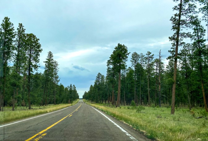
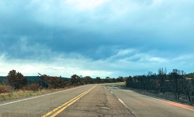
But we also get a glimpse of the controlled burns they do throughout the area, painting a less-than-green picture for part of the drive.
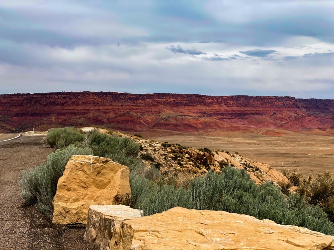
As we get out of the forest, the Vermillion Cliffs are straight ahead. We pull over to the Overlook at House Rock Valley to get a better view.
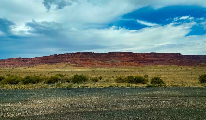
The road followed alongside the cliffs for a while, which made for a great scenic drive.
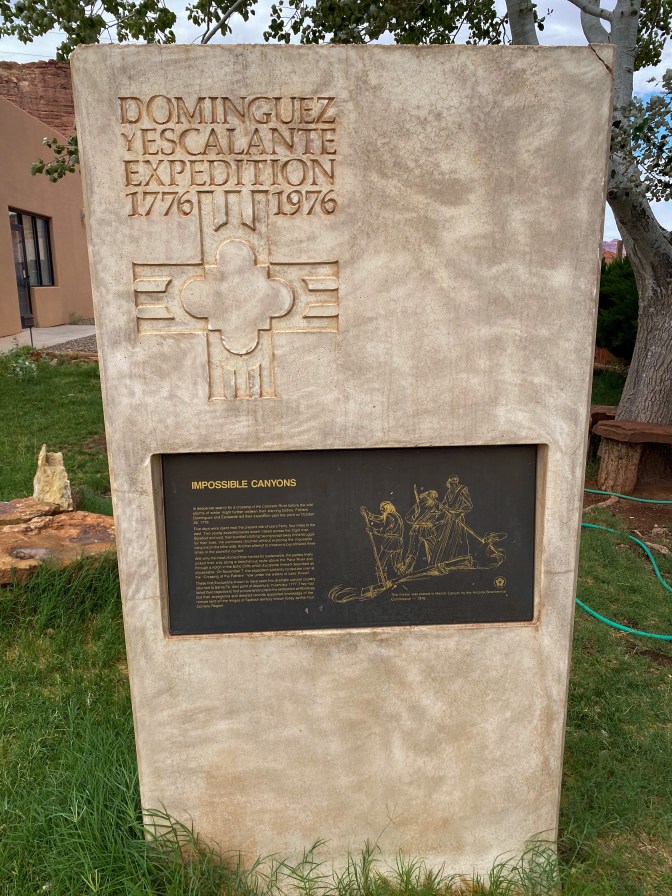
We also found the Dominguez Escalante Expedition trail! You know when you see the “historical marker” signs on the side of the road and just keep driving by? Well, we pulled over to see what this one was about.
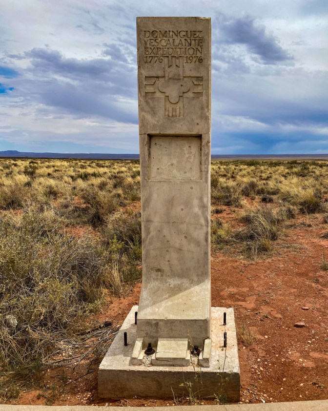
The Domínguez–Escalante expedition was a Spanish exploration conducted in 1776 by two Franciscan priests, Atanasio Domínguez and Silvestre Vélez de Escalante, to find the route from Santa Fe, New Mexico, to their mission in Monterey, California. 89A travels along the original trail for a couple miles.
The next stop was by far one of the most interesting. The area is called Cliff Dwellers – these are the remnants of homes built under fallen rocks.
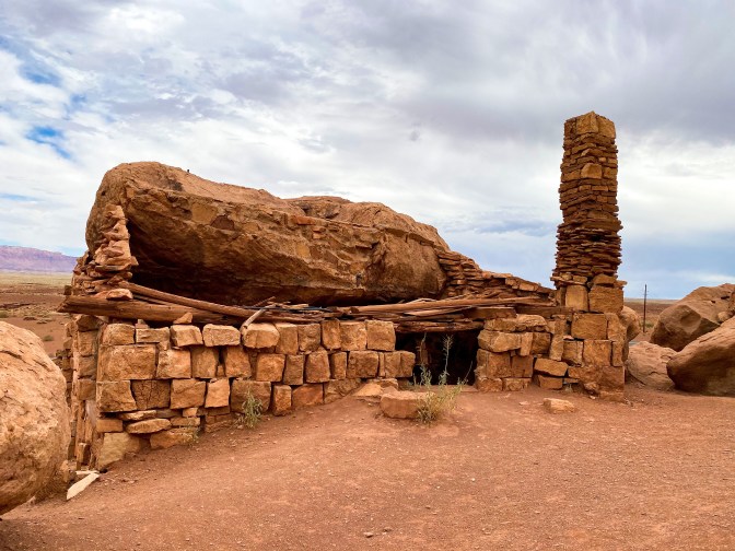
It’s also the home of 1920s Ziegfeld Follies star Blanche Russell. Her car broke down in Marble Canyon nearby. She camped at this site for the night, and woke up the next morning having fallen in love with the area. She and her husband purchased the land and built a unique rock house that was later converted into a roadside trading post. The structure was built with stacked rock against a large fallen boulder, and the original home remains on the property today!
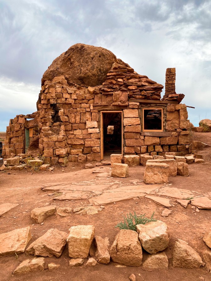
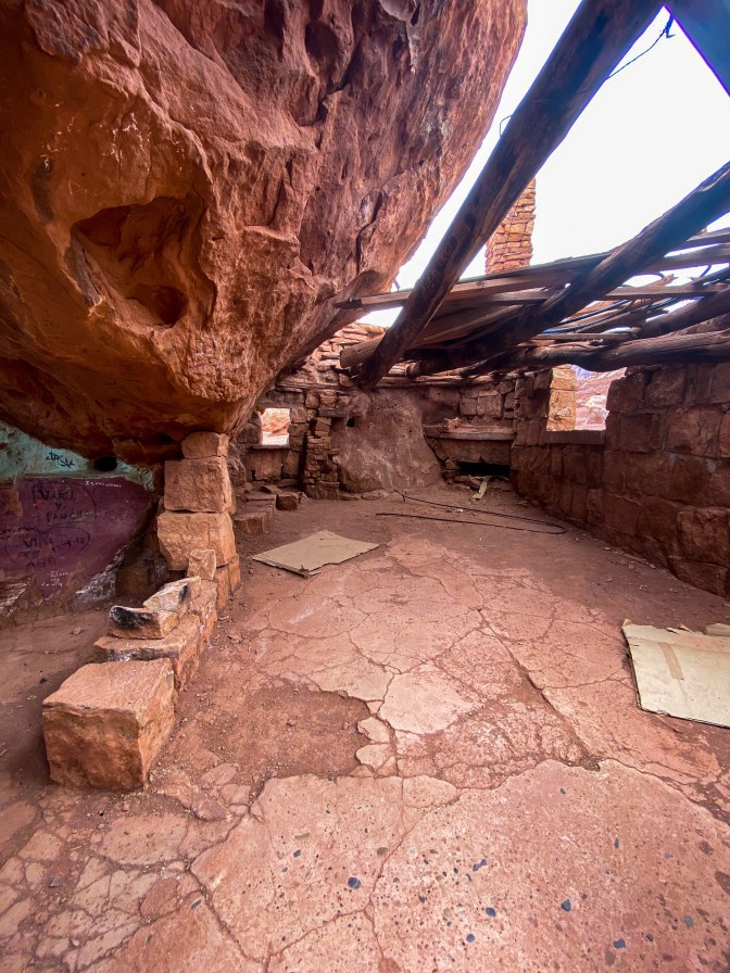
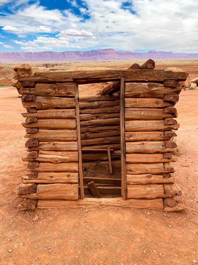
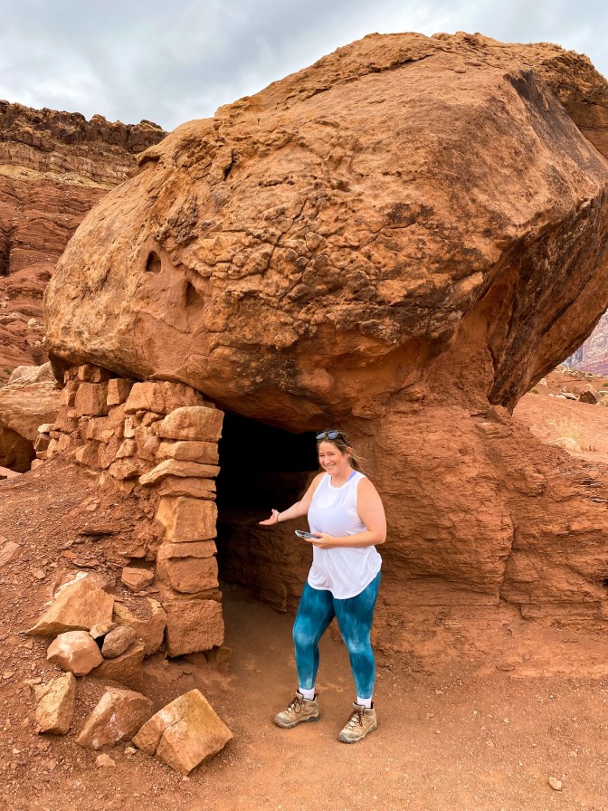
Come on in! 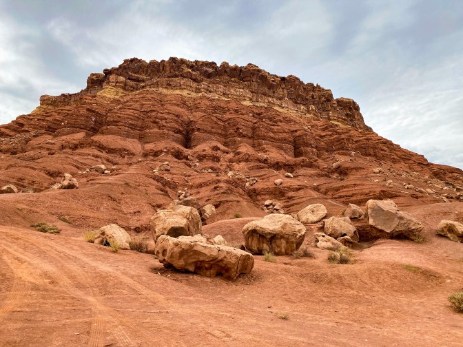
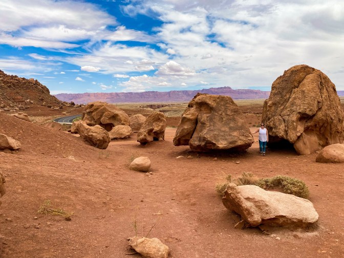
The boulders were huge! 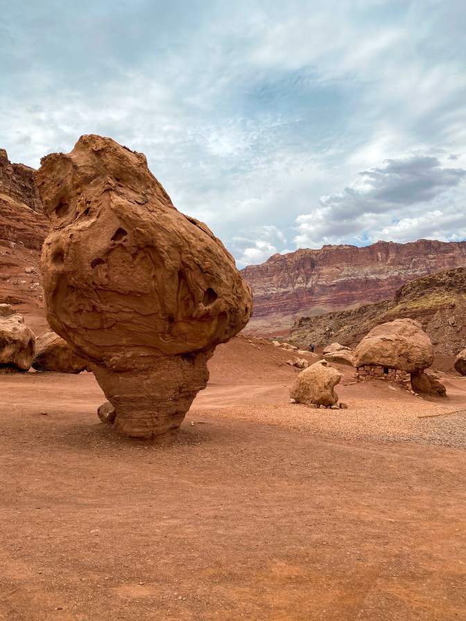
I get major Star Wars vibes from this place 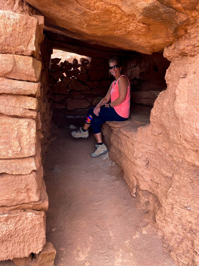
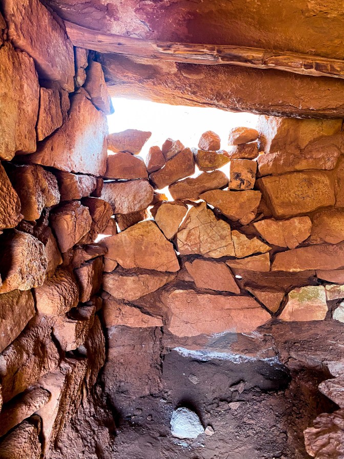
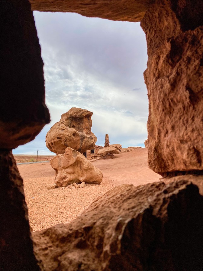
From inside one of the houses 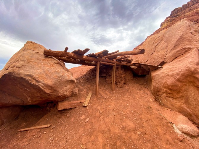
More remains within the boulers 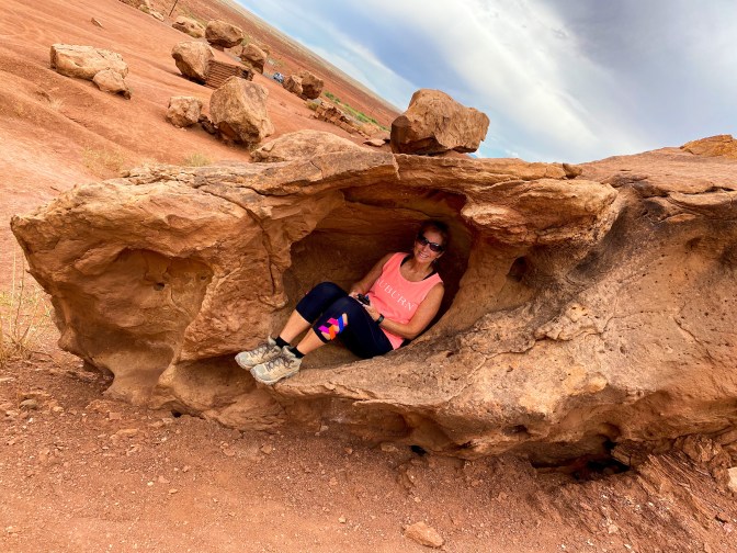
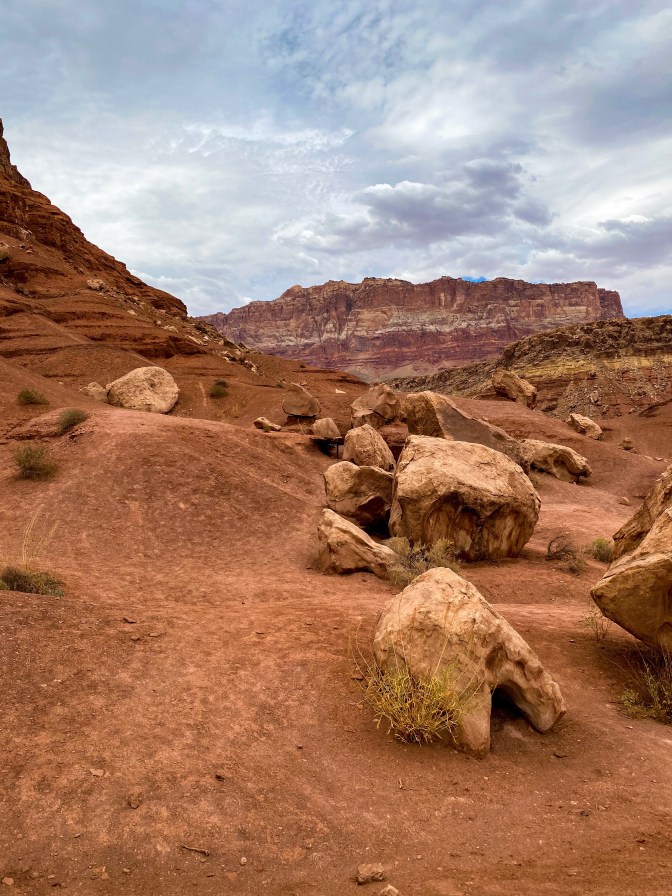
It looked like we were on another planet
Before we head over the Colorado River, we enter Glen Canyon, which on a different trip I would have loved to explore more, but we were just heading to Lees Ferry.
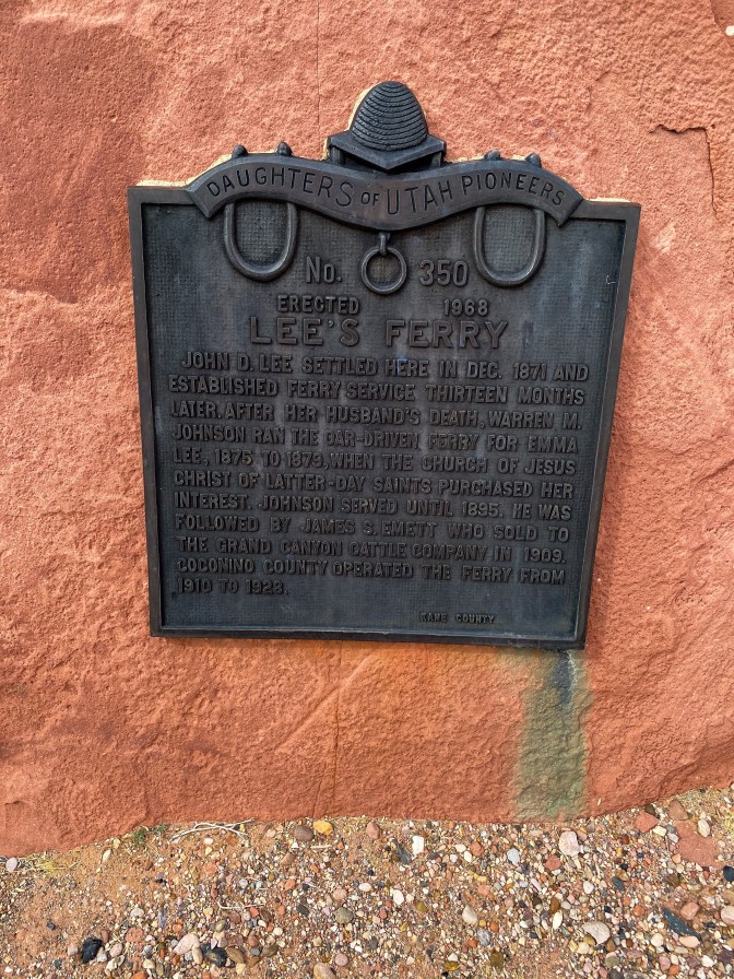
In the 1800s, Mormons settled the area and began running a ferry business and ranch. The trails at Lees Ferry follow what remains of their lives and those who came before and after them.
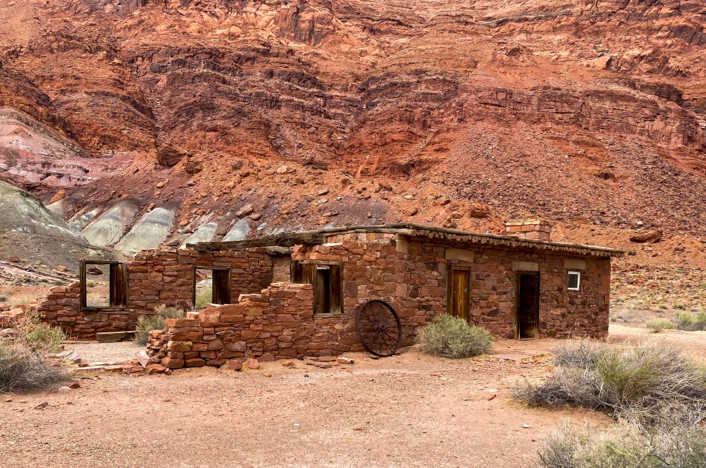
Less Ferry Fort built in 1874 and served as Spencer’s crew mess hall in 1911 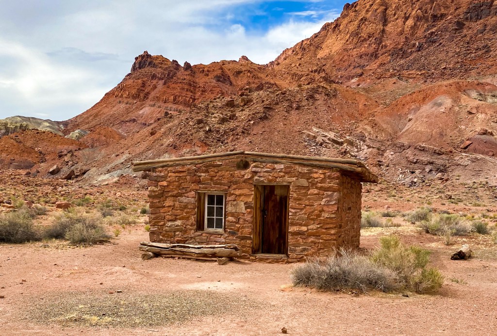
Charles H. Spencer’s gold mining company headquarters built in 1911
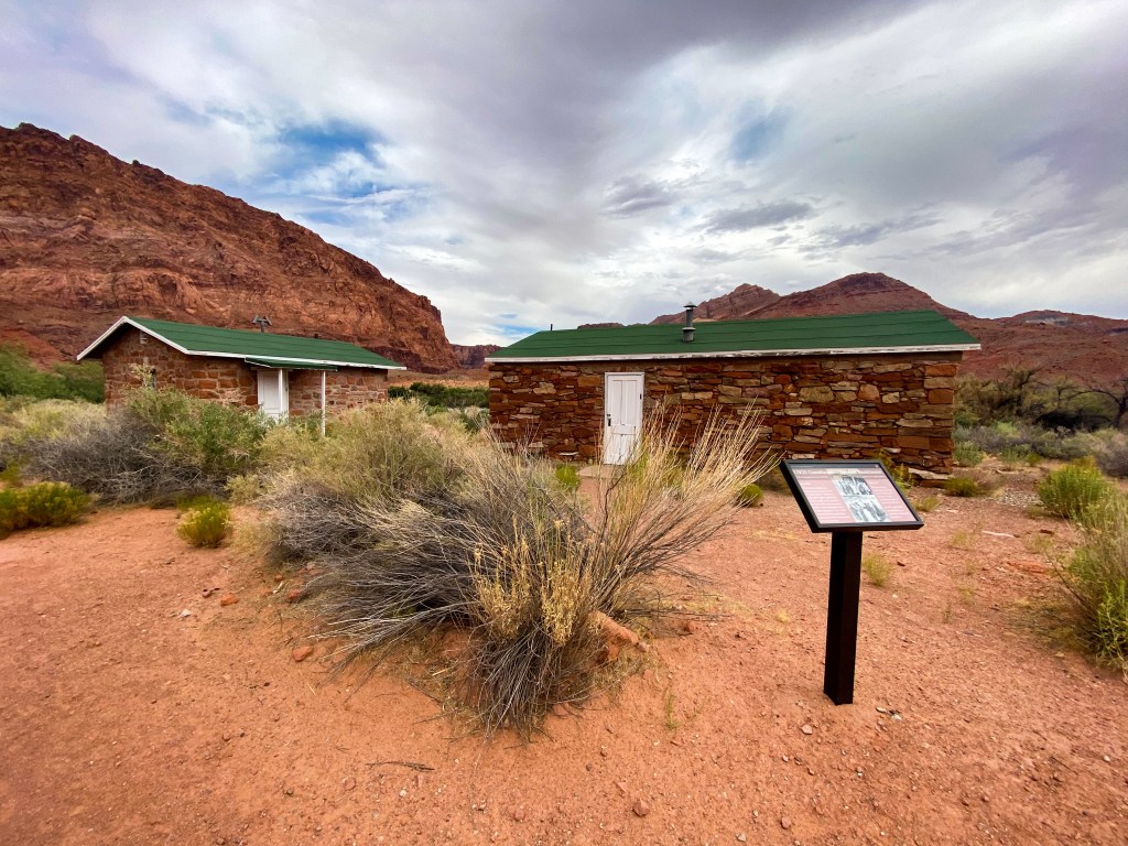
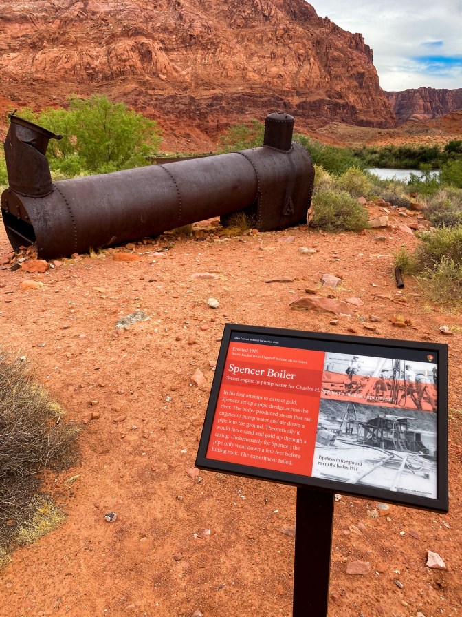
Spencer’s boiler 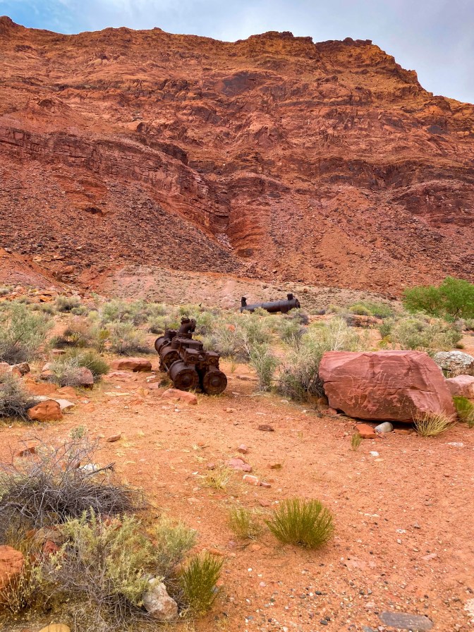
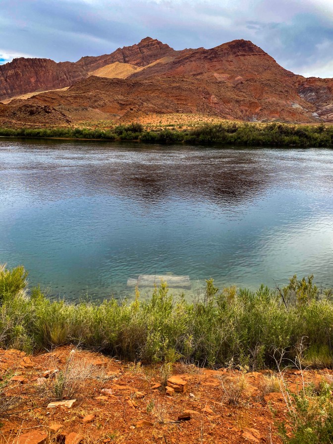
Spencer’s sunken steamboat 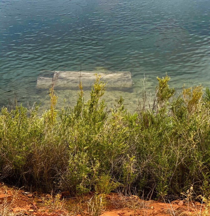
Closer view of the steamboat 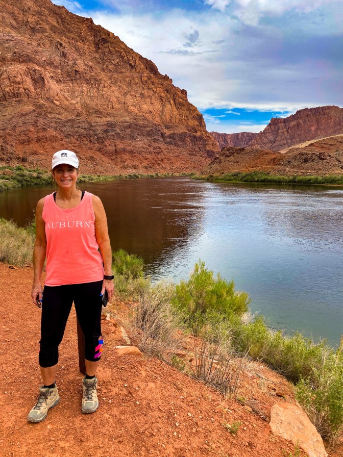
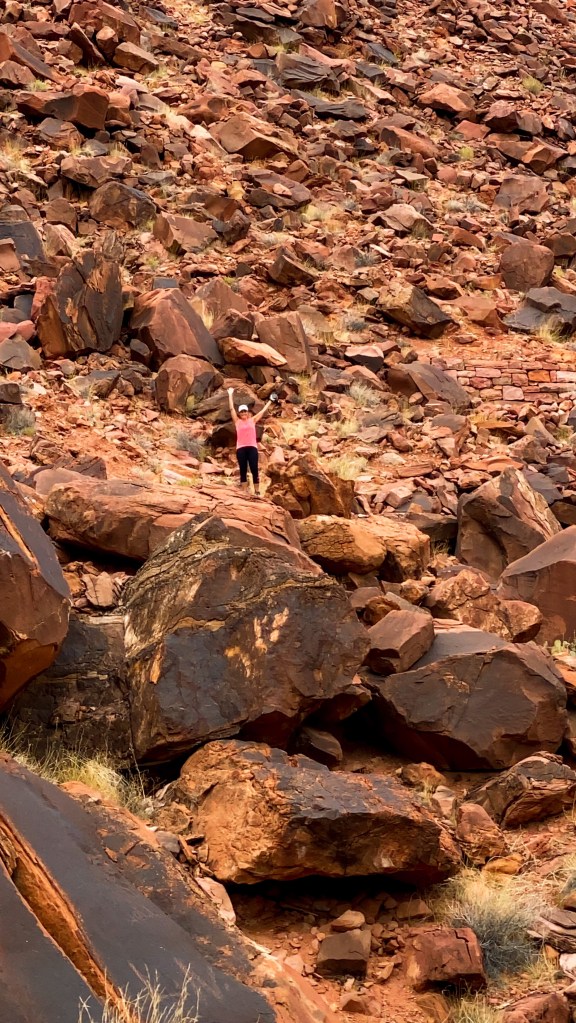
Wave hello Mom! 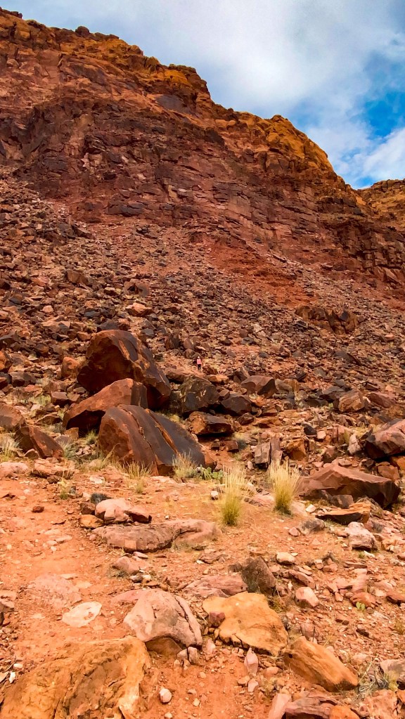
Can you spot the Jill?
The best part about our little side excursion to Lees Ferry, though, was the fact that it is one of the only places (that’s not at the bottom of the Grand Canyon) where you can touch the Colorado River.
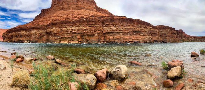
The little spot here was named Paria Beach, where you could take a little dip in the Colorado River, which was freezing by the way!
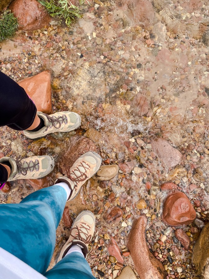
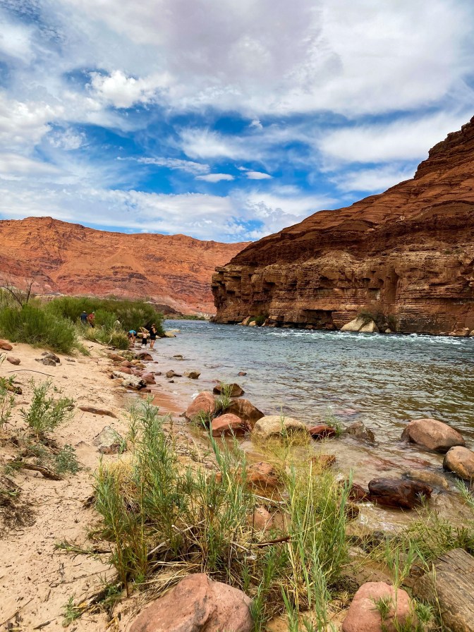
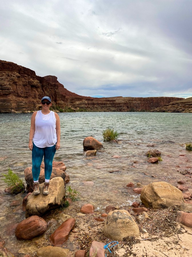
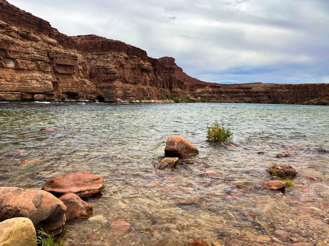
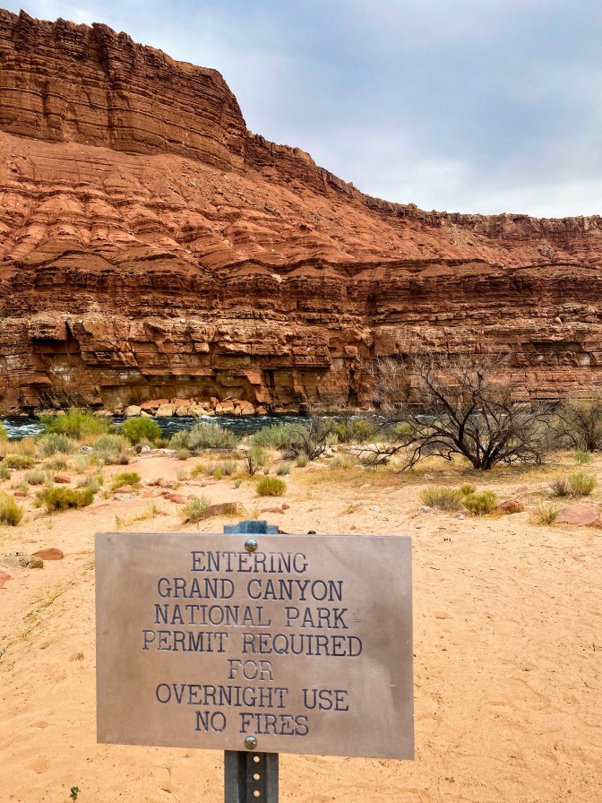
The funniest thing about walking up to the river was this sign – so technically we could say that we went to the Grand Canyon on this trip.
On the drive out of Glen Canyon, we stopped by a couple other pull-overs to read up on some of the geological wonders out here.
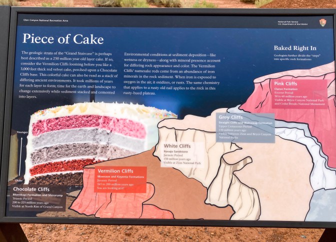
Click to read about the Grand Staircase steps 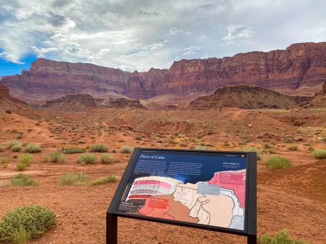
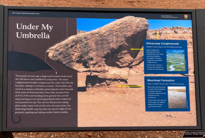
Click to read about these “balanced” rocks 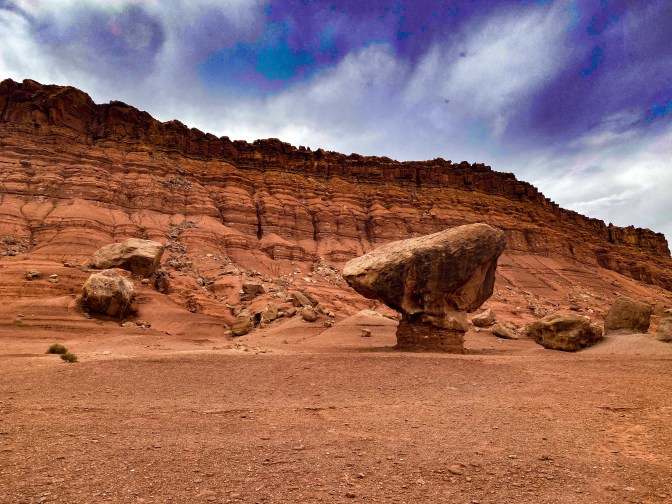
One more balanced rock for the trip!
It was finally time to cross the mighty Colorado River. We did so over the Navajo Bridge, or technically the second Navajo Bridge. The first one constructed is for pedestrians.
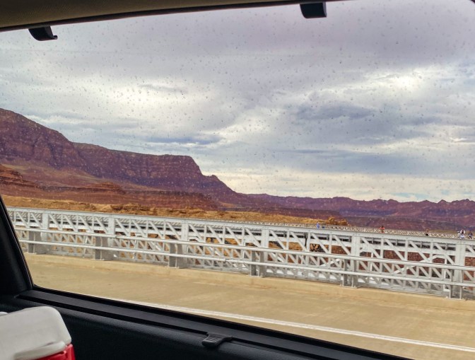
The pedestrian bridge is right next to us 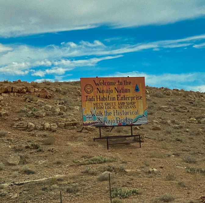
Welcome to the Navajo Nation! (We only drove through briefly as it was the only road available) 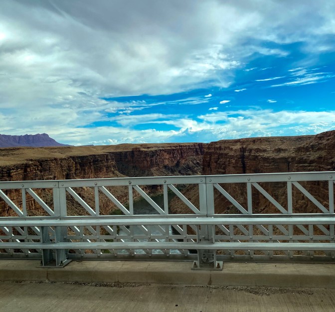
The view of the Colorado River from the Navajo Bridge
Before 89A joins back up with 89, we follow the Echo Cliffs to our right for a few miles.
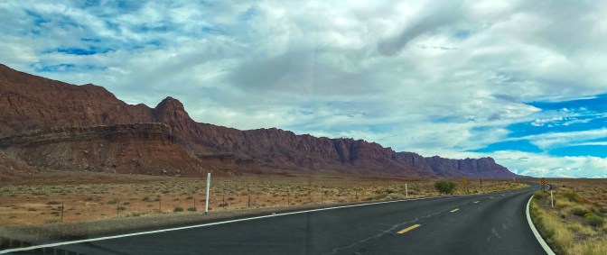
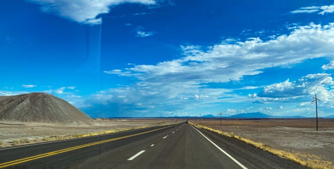
The drive from here into the Flagstaff area was much more scenic than I thought it was going to be. Well, at first there was nothing.
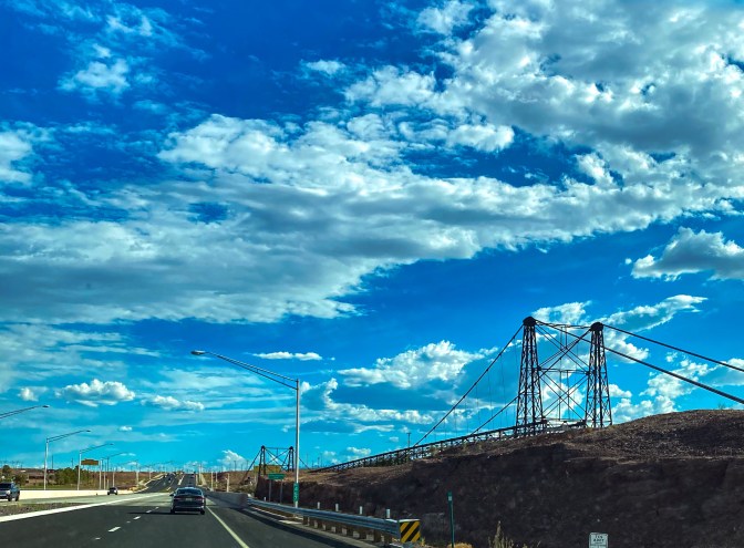
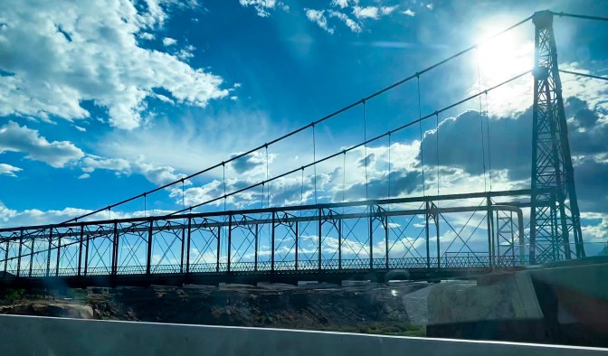
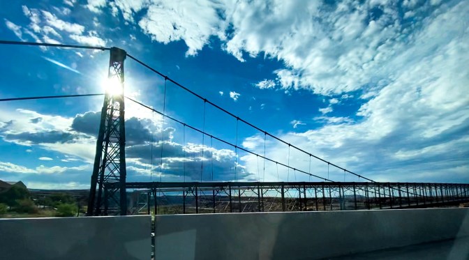
But then an old bridge crossing the Little Colorado River popped up, called the Cameron Suspension Bridge built in 1911.
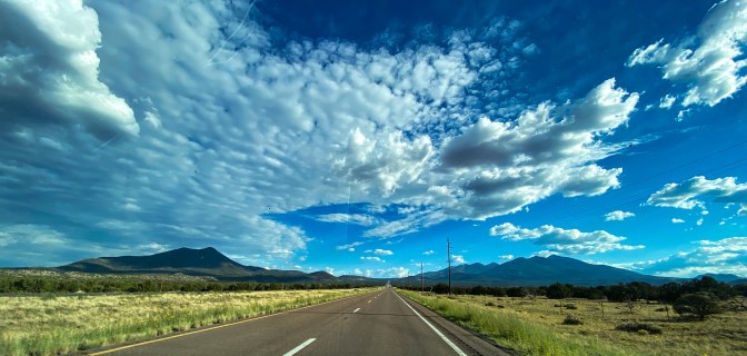
And then the San Fransisco Peaks came into view – a volcanic mountain range with the highest point at 12,633 feet!
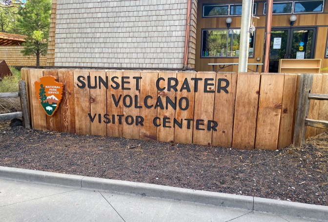
So what better to do after seeing a volcanic mountain range than go to a volcano park – Sunset Crater Volcano National Monument to be exact.
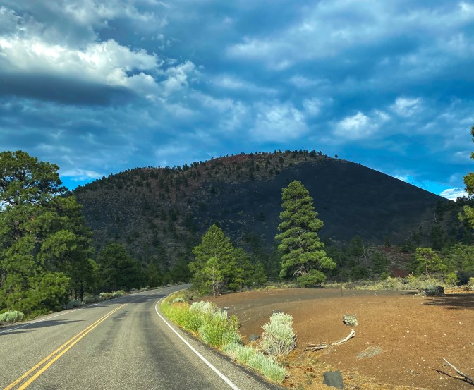
Here we saw the 1,000 ft high cinder cone that is Sunset Crater. It was formed by a volcanic eruption less than 1,000 years ago. That eruption transformed the landscape and all life surrounding it.
One of the trails near the Crater is the Bonito Vista Trail that’s a paved trail across a field of cinders to look out at the Bonito Lava Flow, essentially what was a river of lava that pooled around the base of this volcano.
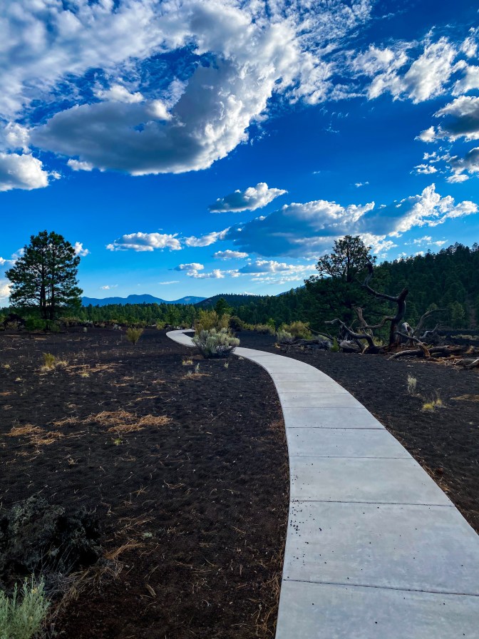
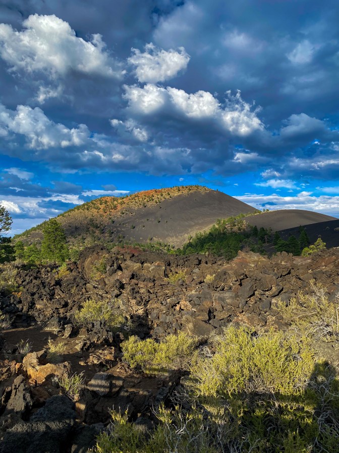
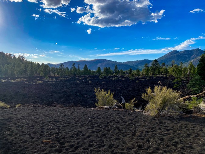
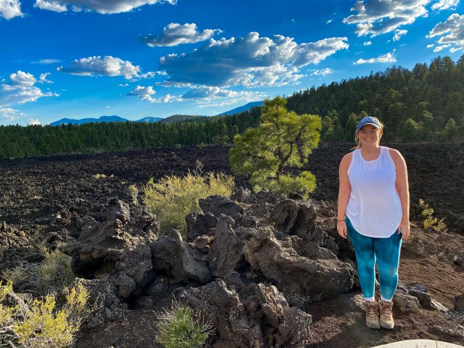
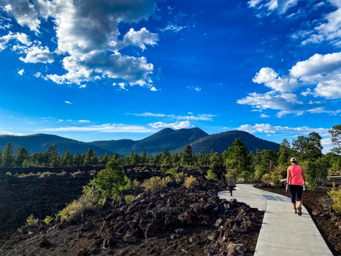
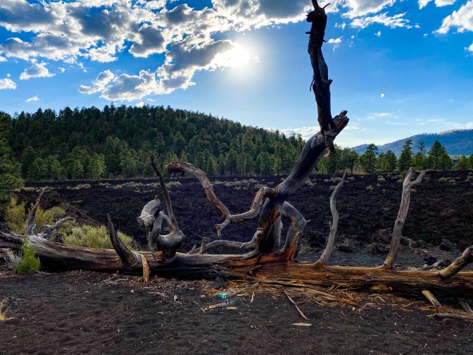
The next hike (the Lava Flow Trail) took us right next to the base of the volcano while walking through cinders, lava clinkers, and next to a spatter cone.
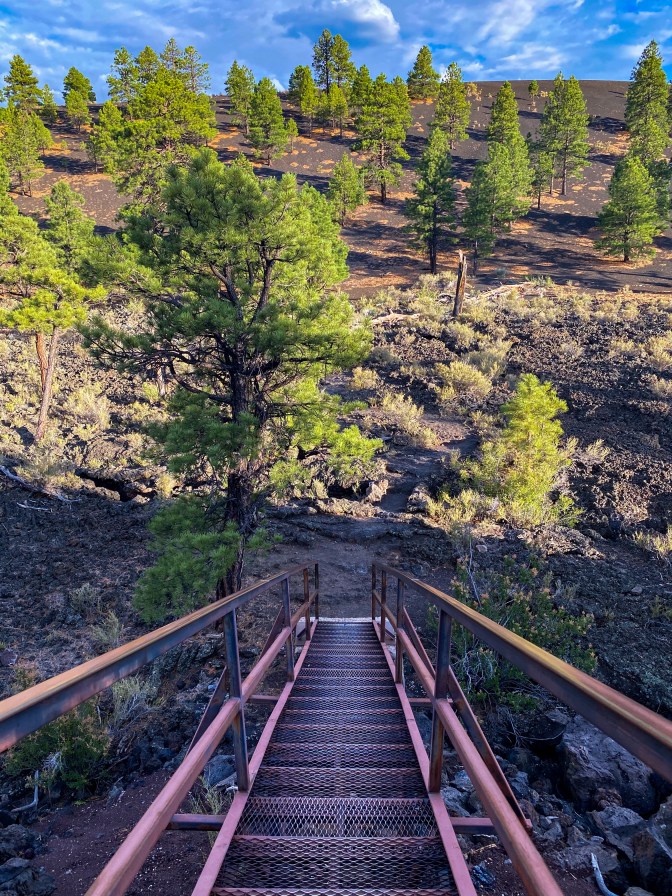
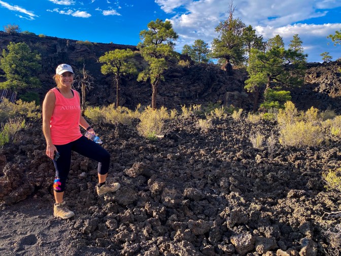
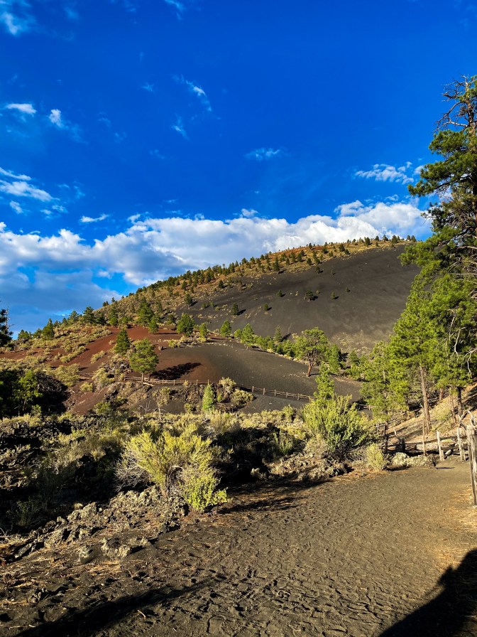
At the base of the volcano 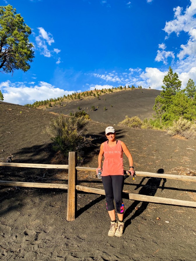
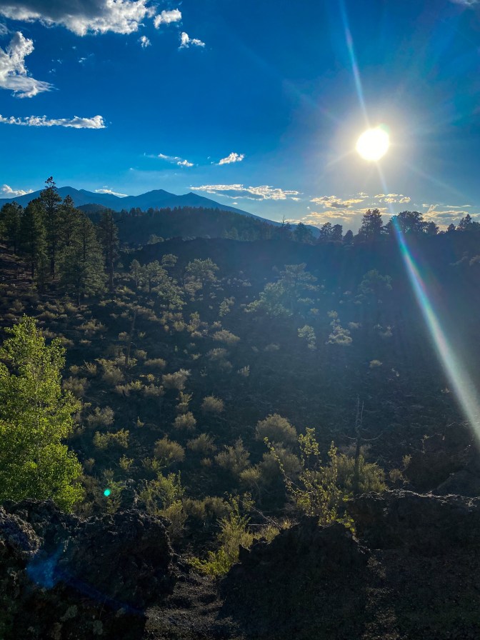
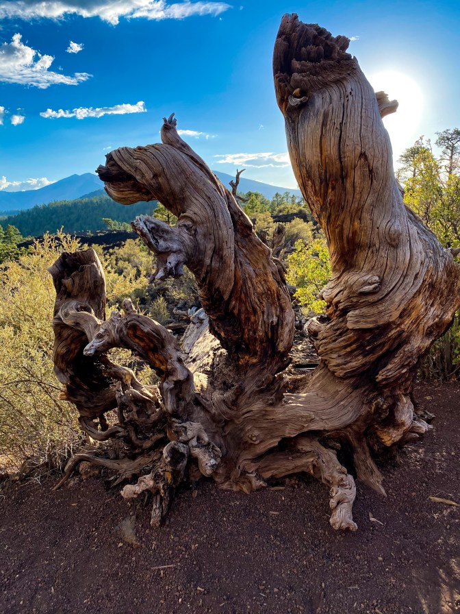
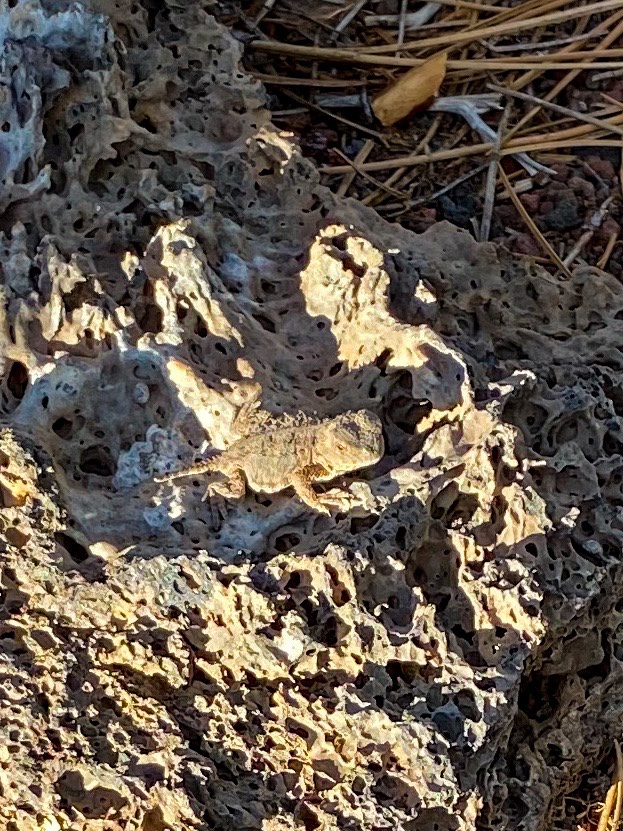
Spot the little lizard on the rock! 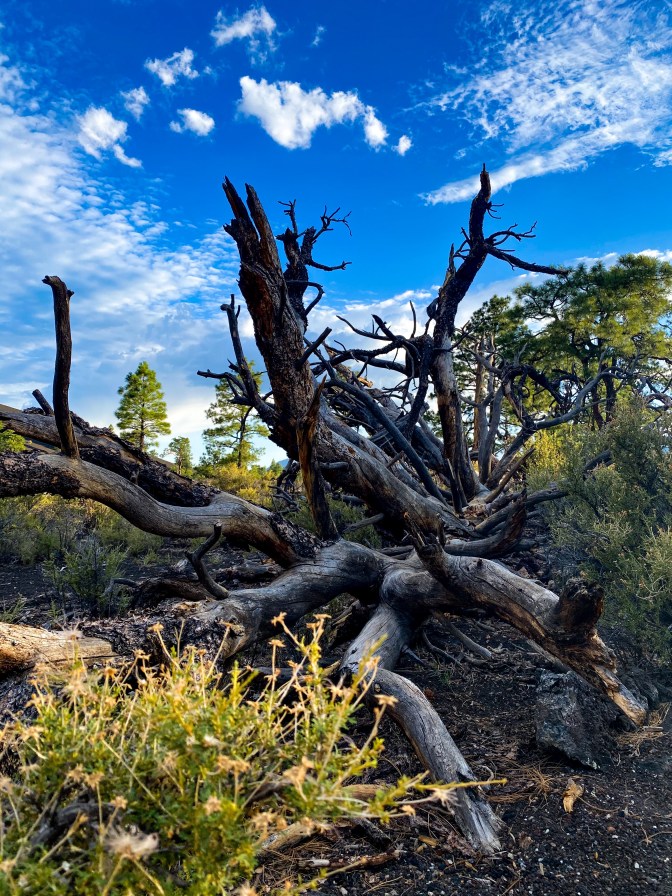
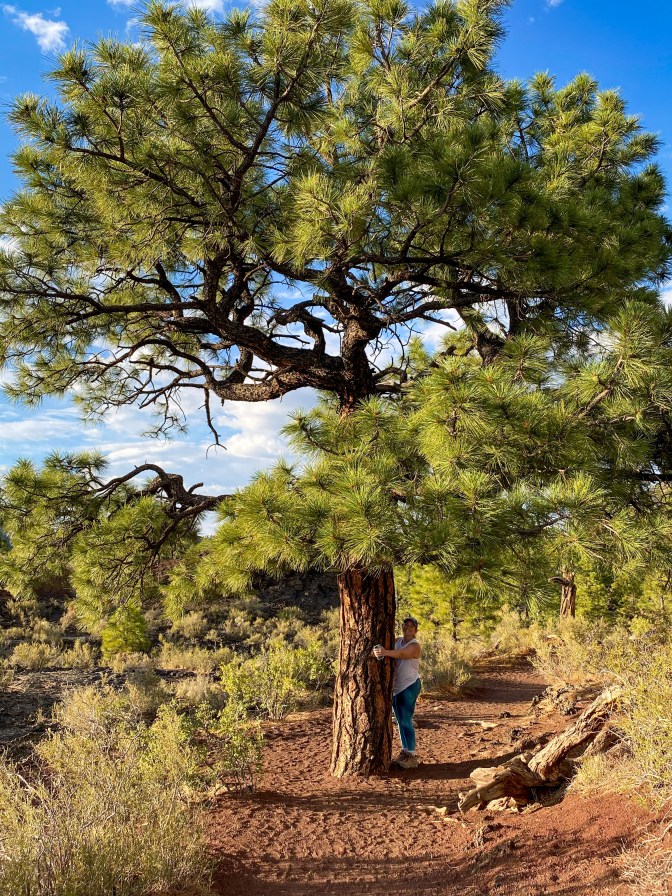
We found one last ponderosa pine to hug!!
The final trail we hiked was the A’a Trail (Hawaiian for “stony rough lava”). This hike takes us down into the Bonito Lava Flow, and we can see the formation of this ‘lava lake’ and also how life is growing and transforming out here in this extreme landscape.
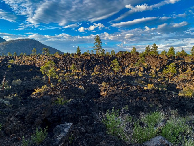
By the time we finished, the sun was slowly making its way under the horizon, and it was time for us to call it a night. We picked up some dinner and reached our hotel in Flagstaff, AZ. Our adventure had really come to an end.
MILES DRIVEN: 241
STEPS: 12,931
PICTURES TAKEN OF THE STUNNING VIEWS: Way more than what’s on this blog


