Day Three
Today we focused on the middle of the “figure-8” Grand Loop – Norris-Canyon Road. A slight detour on a side road to start the day – Virginia Cascades Drive – was part of the original road when the park first opened. Now it’s a one-way street, but back in the late 1800s, one could see horse and buggies traveling both ways down this 2.5 mile road.
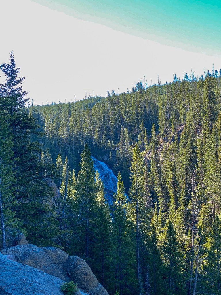
Our morning adventure was exploring the Grand Canyon of Yellowstone. We decided to visit this area first as parking became more of an issue later in the day. Stop #1: Brink of the Upper Falls. The amount of water traveling through the Yellowstone River over this waterfall and the Lower Falls is insane, especially when you get to see it so up close!
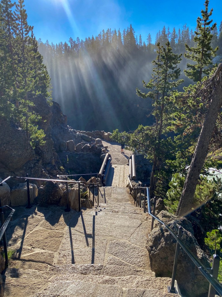
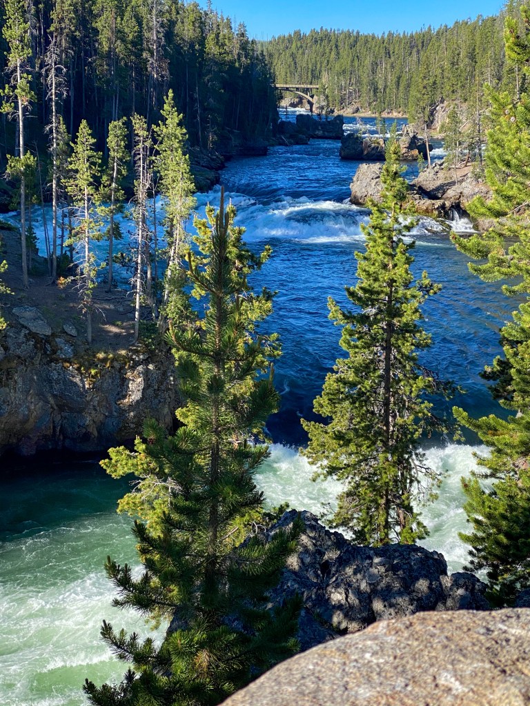
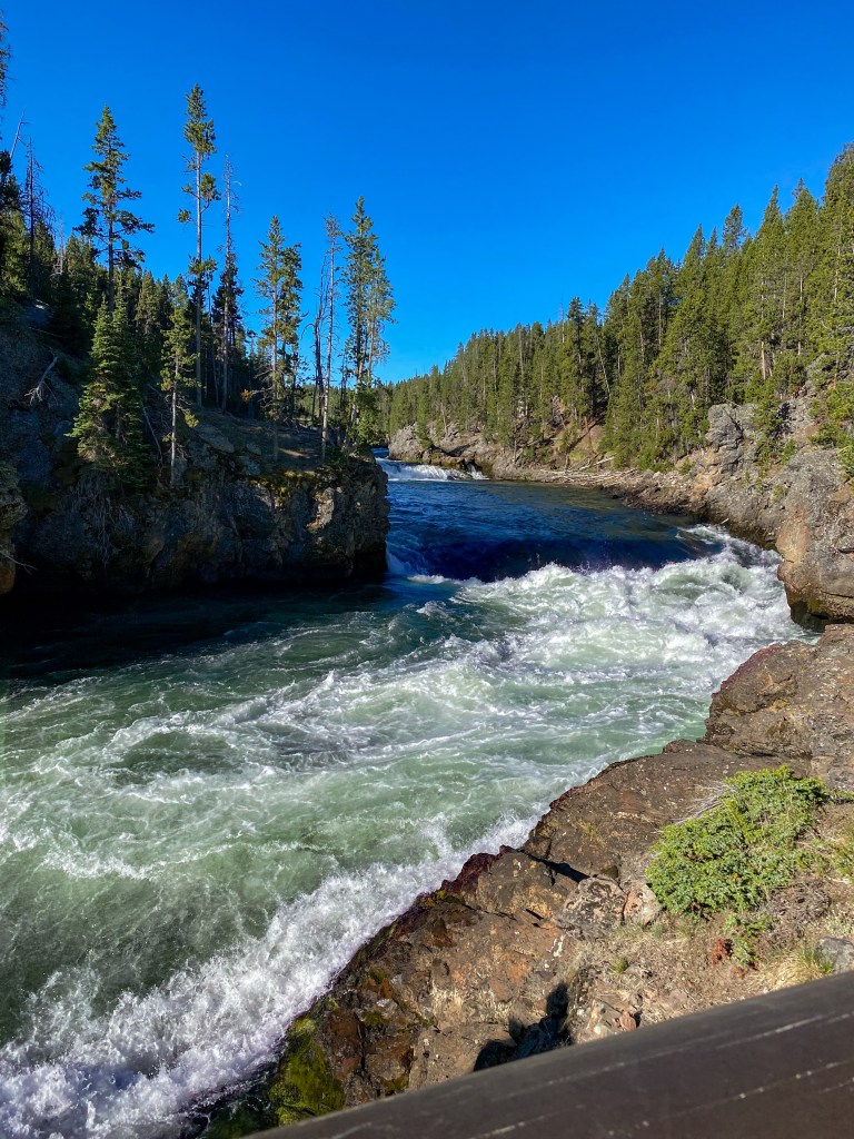
60,000 gallons of water flow over the waterfall per second during peak spring runoff
A short drive on the South Rim led us to an overlook of those same Upper Falls from across the way, so we could now see them in full view – this is all from “Uncle Tom’s Point” even though Uncle Tom’s Trail is still closed due to maintenance – it’s 328 metal steps down to an overlook on the side of the canyon, so I would rather be safe than sorry with this one! Also, look at that amazing rainbow in the mist!!
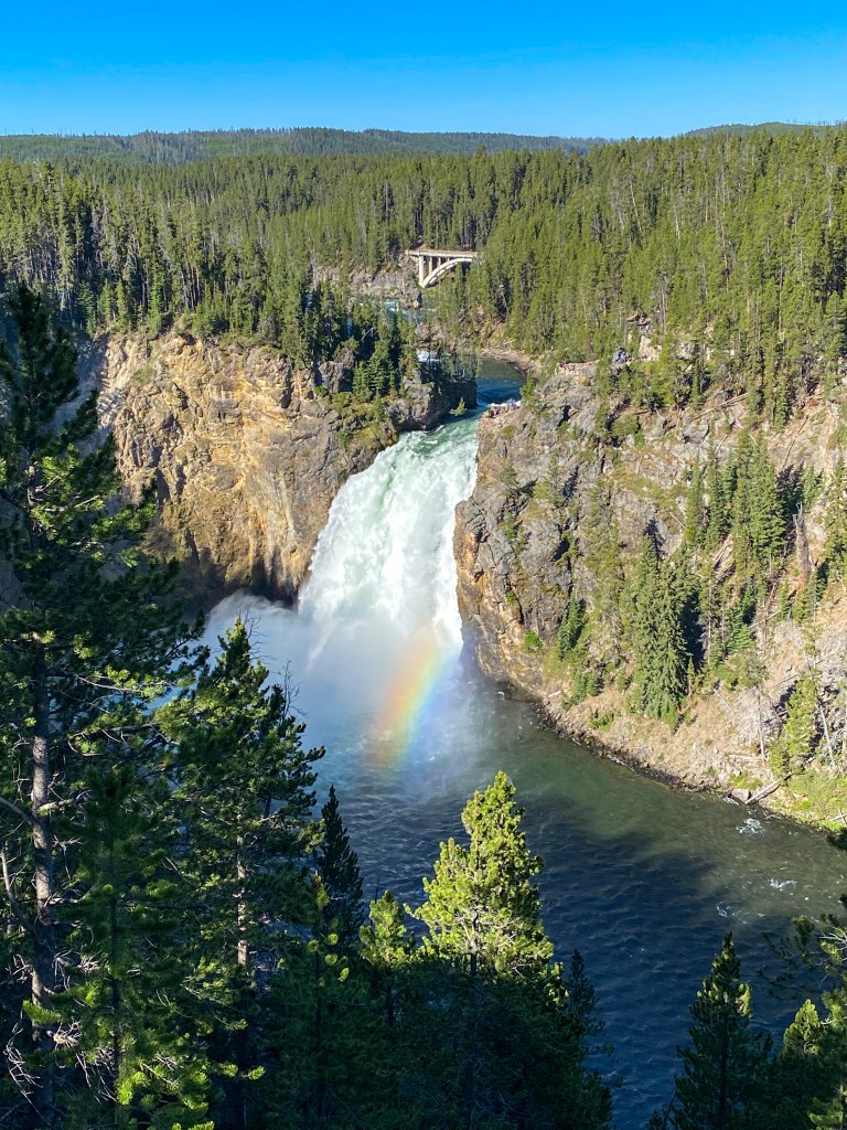
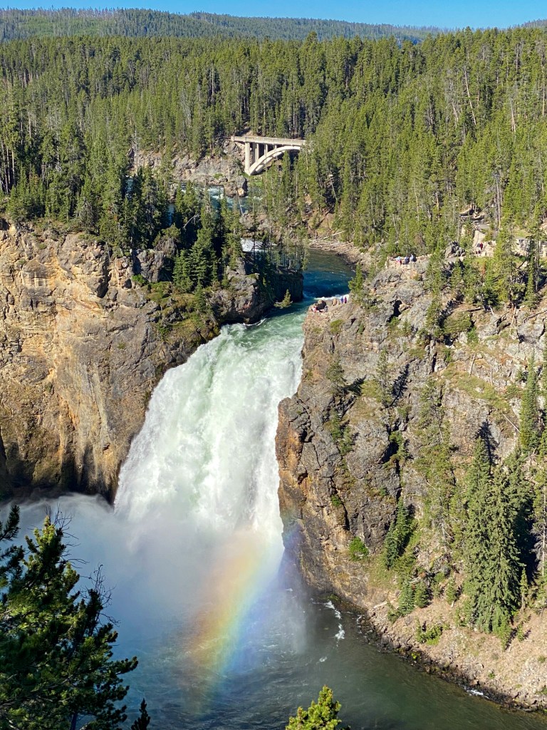
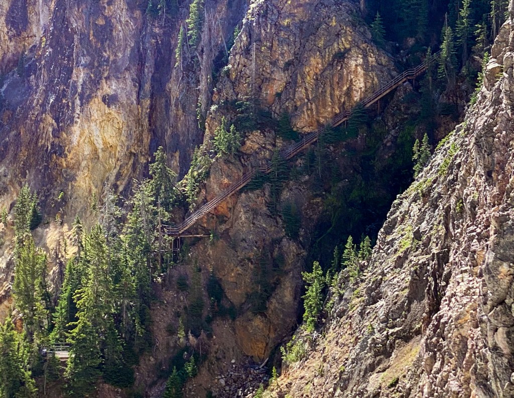
Look closely to see the metal staircase along the side of the canyon 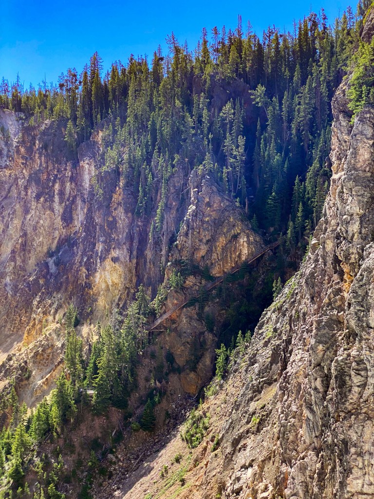
We got some more wildlife sightings on this trail, too! Say hello to this family of yellow-bellied marmots.
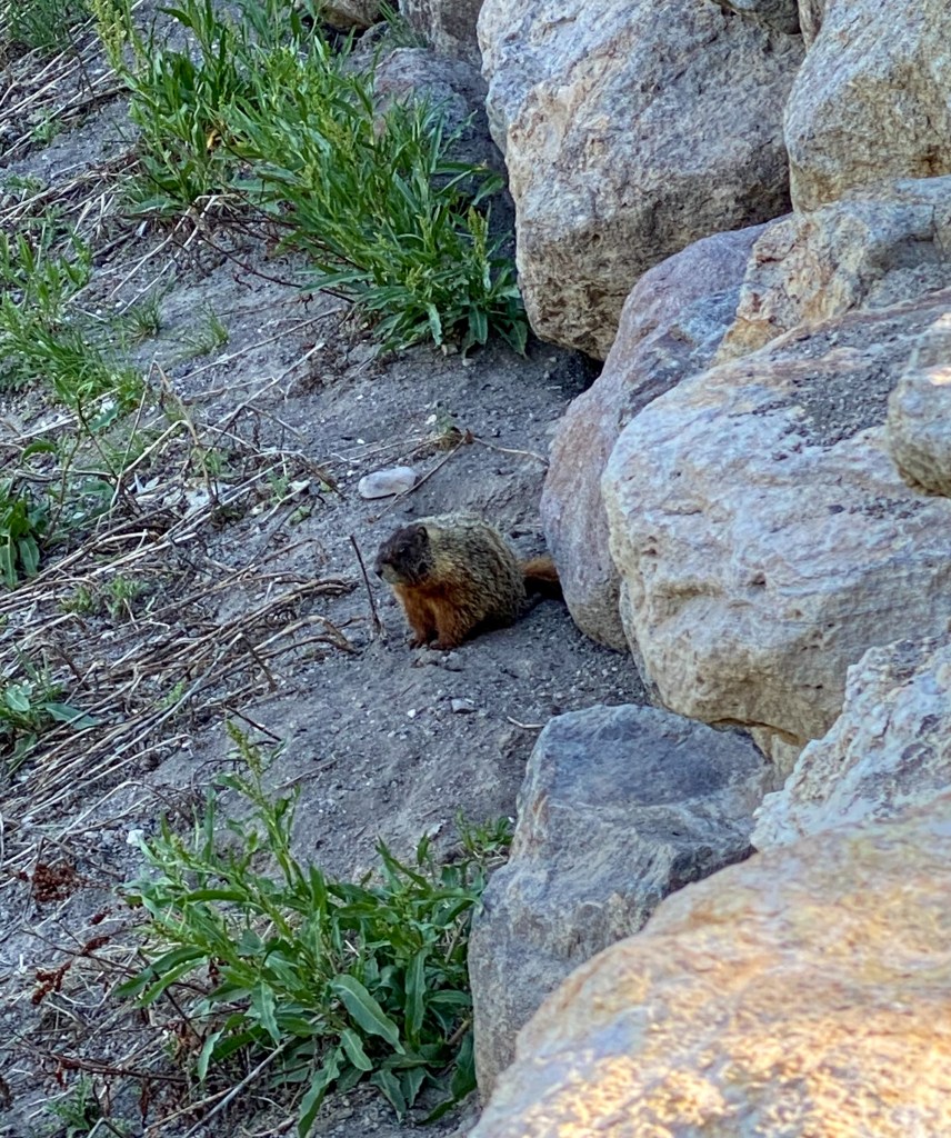
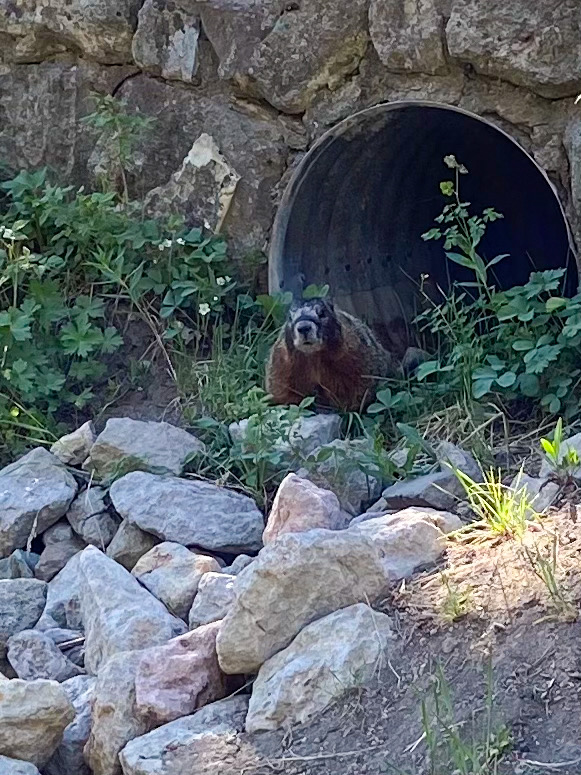
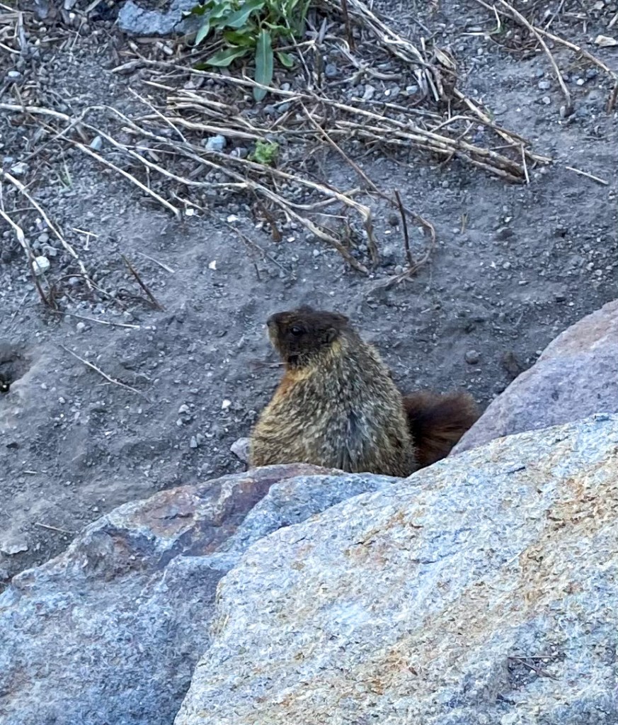
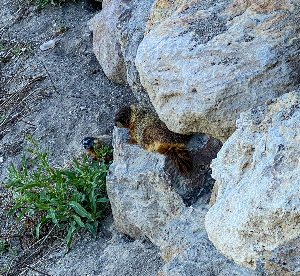
Look at the little baby!!
The final stop on the South Rim was at Artist Point. This overlook is famously named by Frank Jay Haynes who mistook the point for the place where Thomas Moran sketched his 1872 paintings of the falls. Later, it was determined that his paintings were from the North not South Rim, but the name had already stuck. It’s one of the most popular backdrops for families vacationing here, and rightfully so. The 308 ft. Lower Falls makes for a stunning photo.
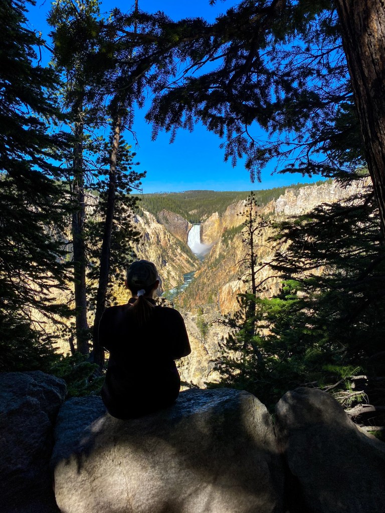
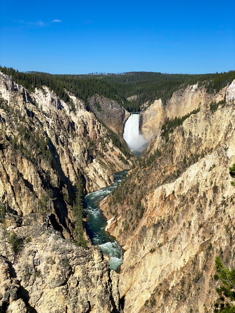
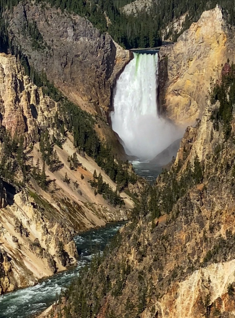
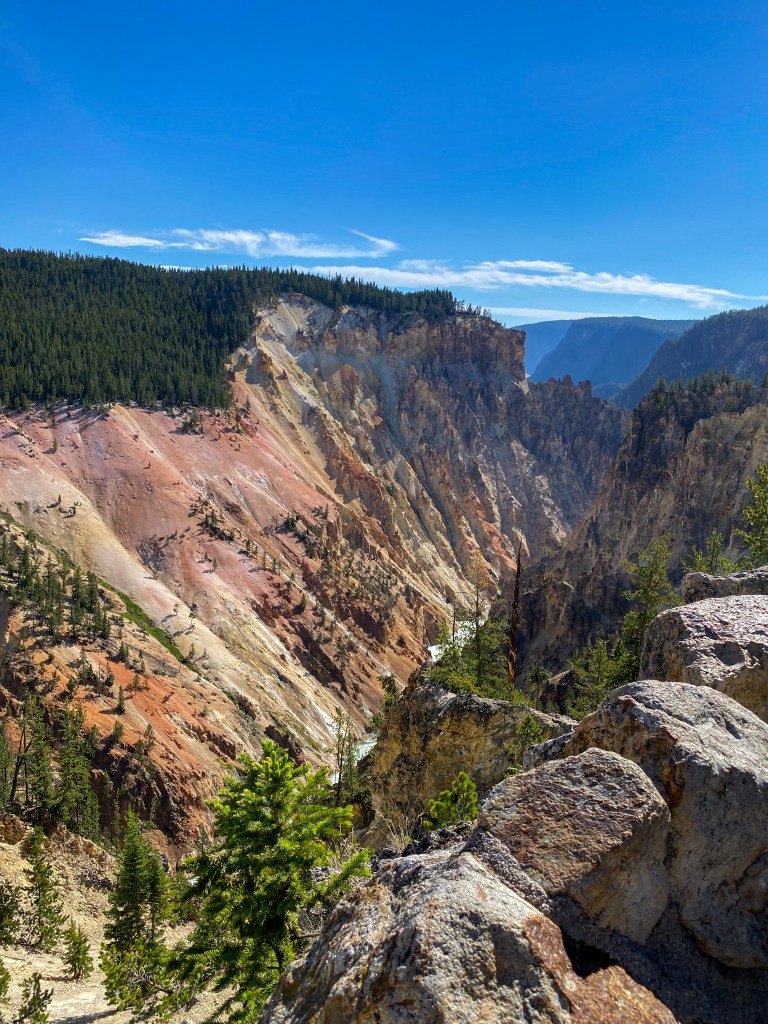
View down the canyon away from the Falls 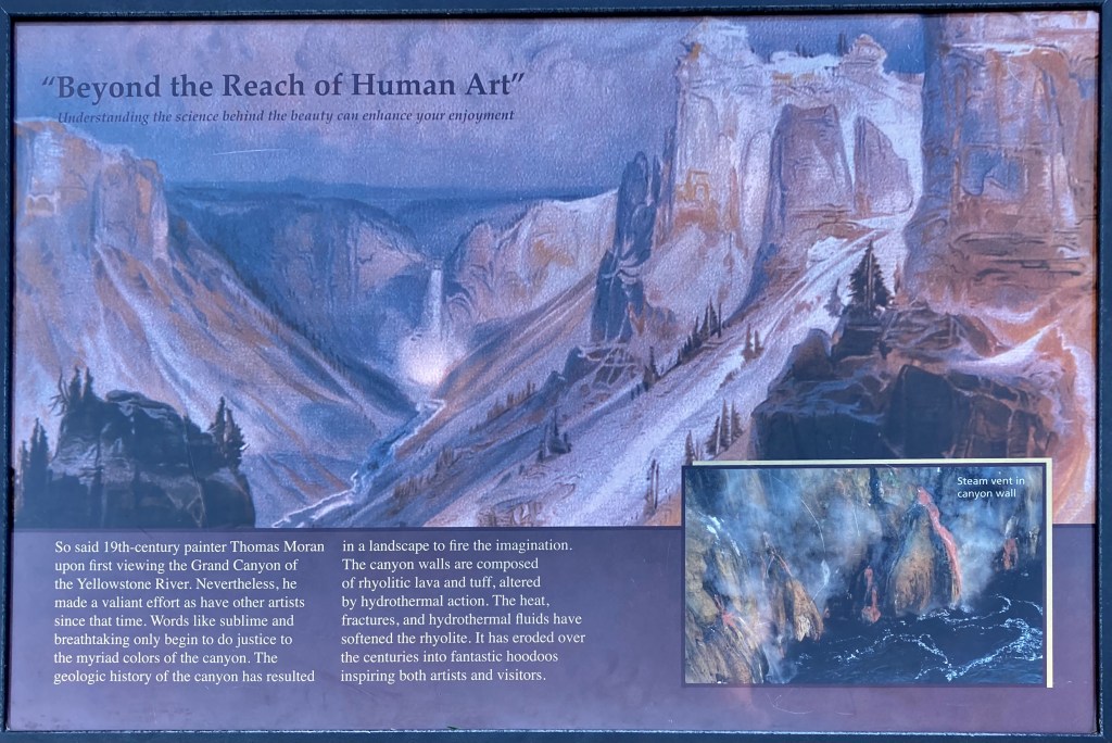
Thomas Moran’s famous painting of the Lower Falls
Next up was the North Rim and all its lookouts – Lookout Point and Red Rock, Grand View, and Inspiration Point. We started with the Brink of the Lower Falls – a 600 ft. descent down a 0.38 mile steep trail to experience the rushing power of the Lower Falls (just like the Upper Falls). The walk down was great – it’s that walk back up that’ll kill you.
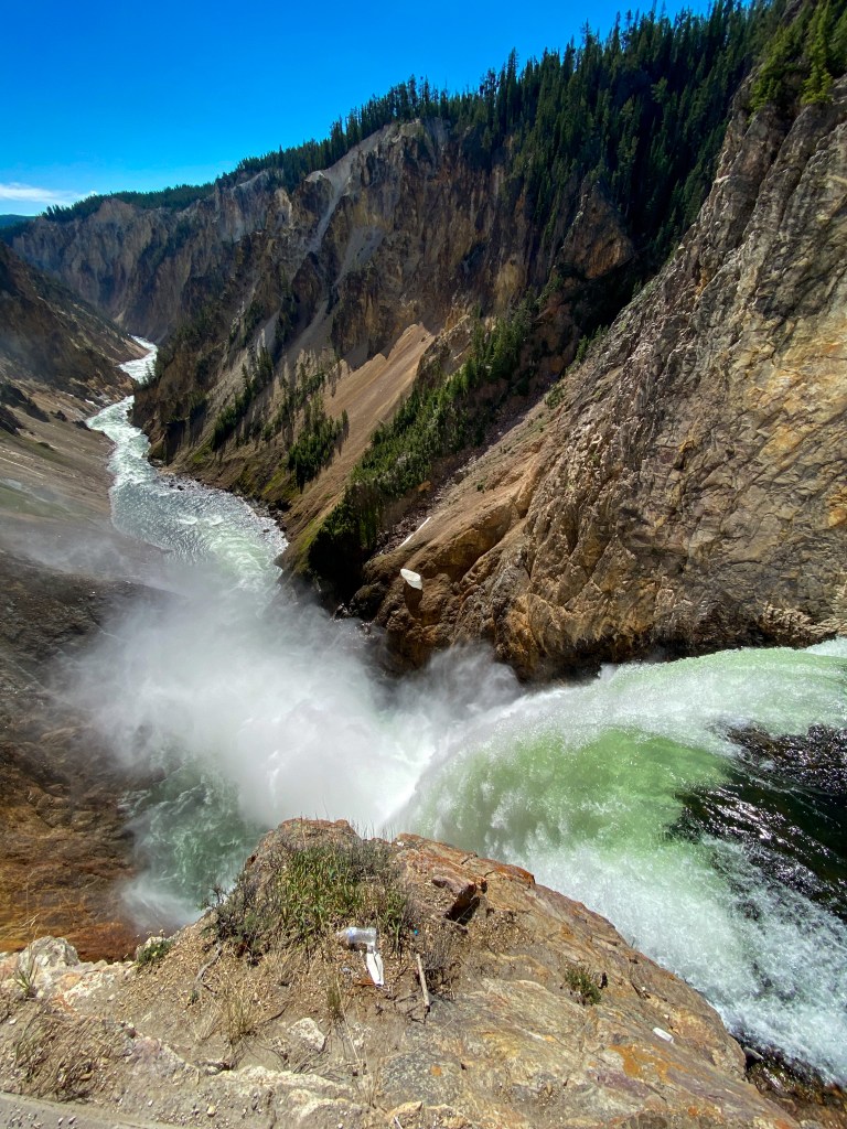
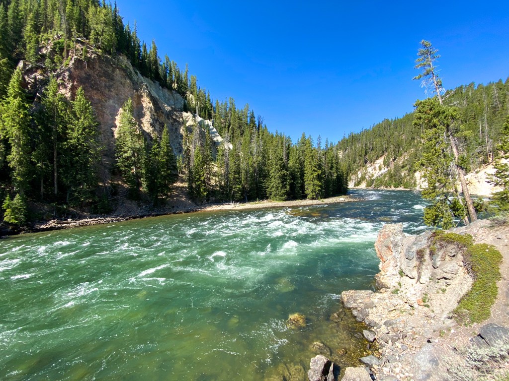
After finishing that 600 ft climb, what do we do? Hike the Red Rock trail, another 500 ft. drop into the canyon over 0.38 miles. The trail ends in 91 wooden steps to take you the closest you can get to viewing the full Lower Falls (other than the Brink itself). Back at the start of the trail, Lookout Point sits a tad higher for the same dramatic views of the canyon and the Lower Falls.
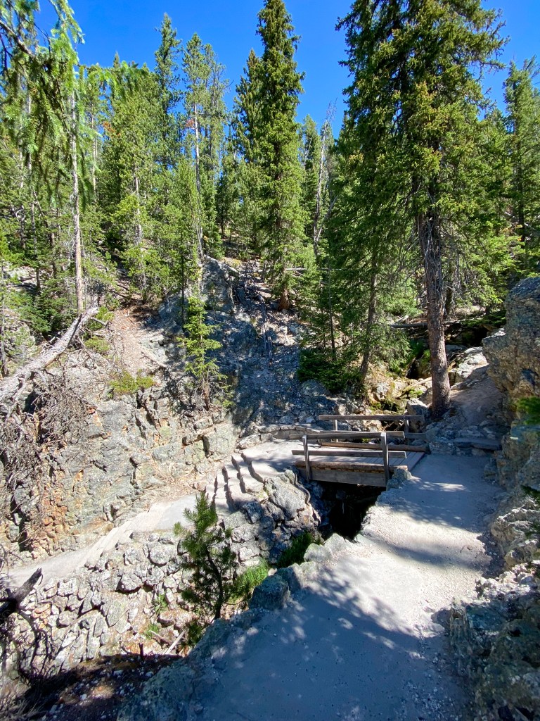
Trail down to Red Rock Lower Falls overlook 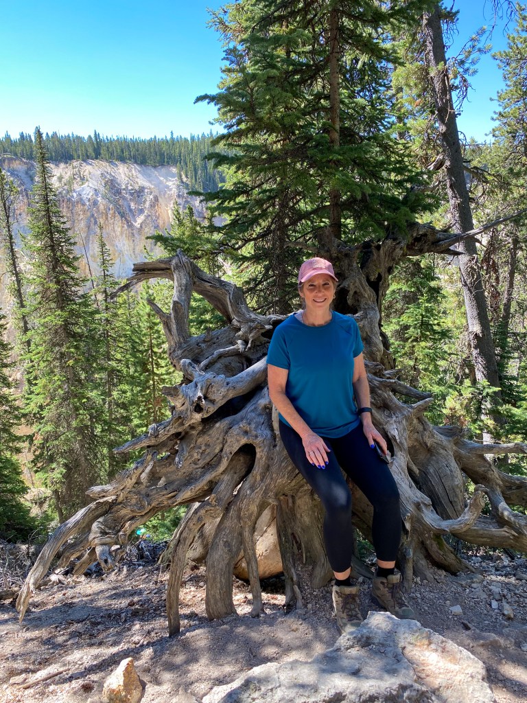
Mom found a tree chair! 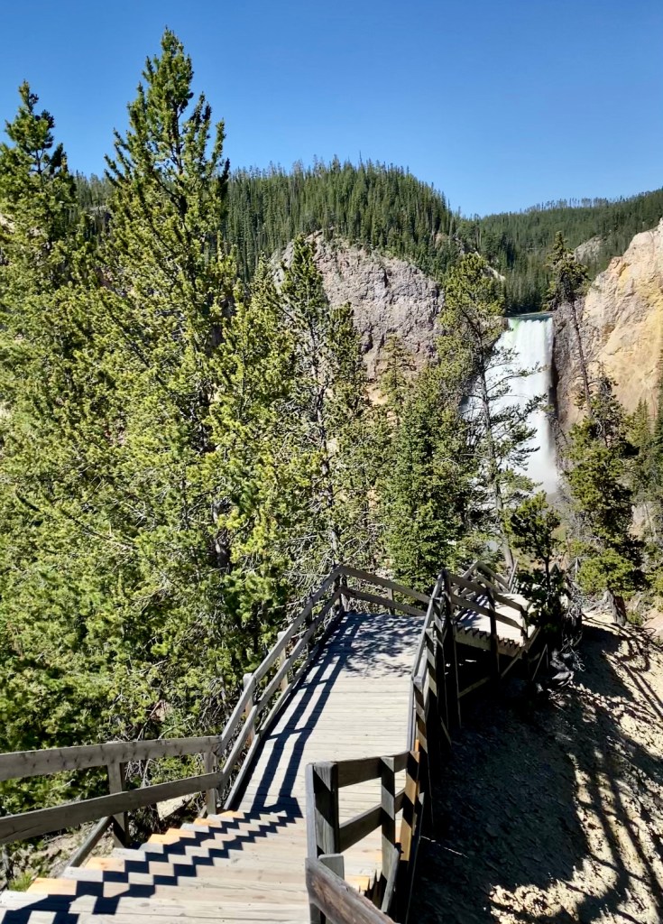
91 wooden steps to the overlook 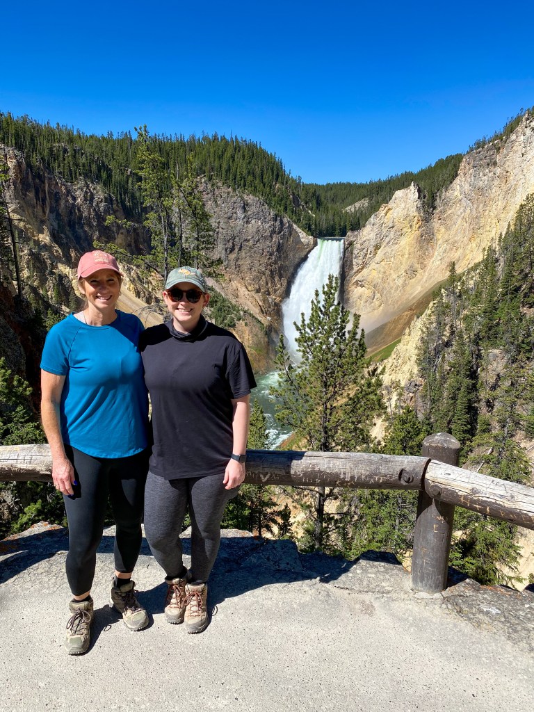
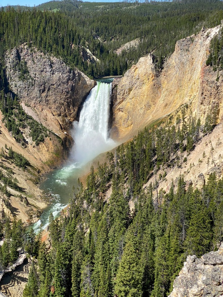
Lower Falls from Lookout Point 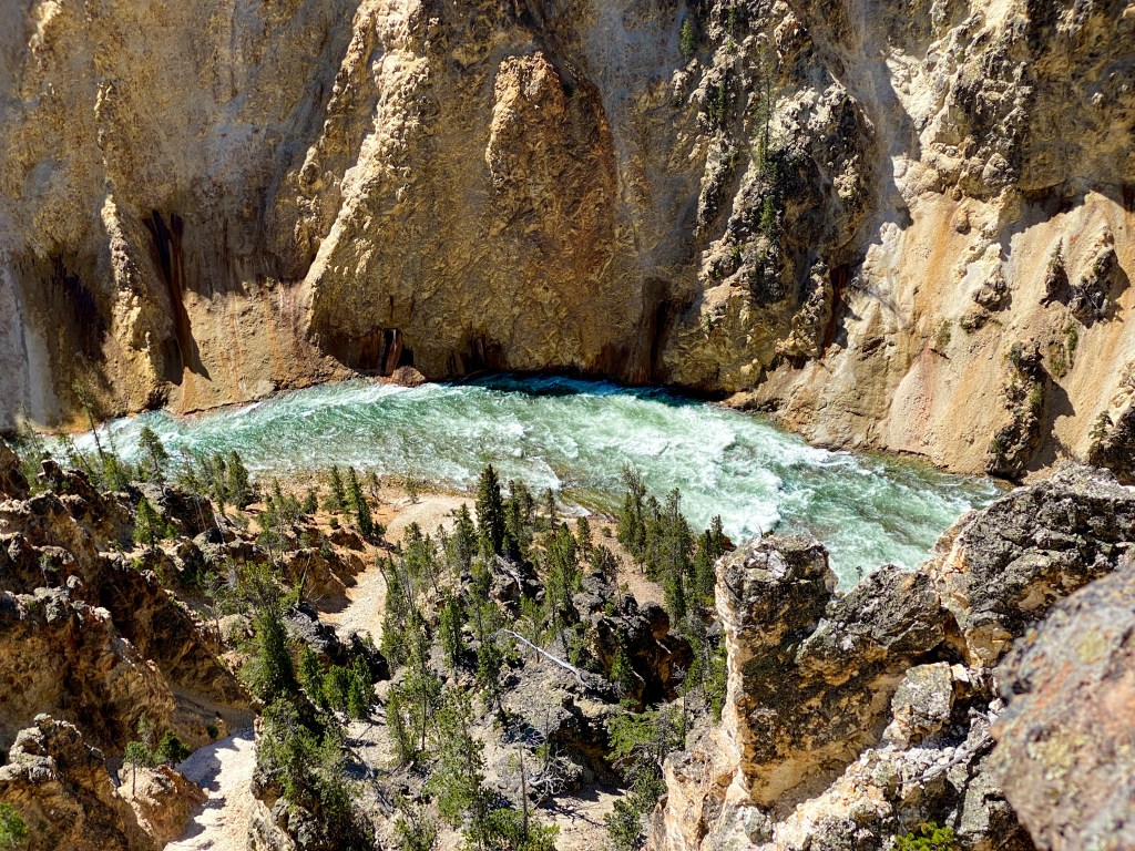
Yellowstone River below Lookout Point
The Grand View and Inspiration Point provided different views of the canyon and the Yellowstone River snaking through down below. You can really notice the distinct colors on the canyon walls left by different mineral stains from hot springs and steam vents. This upper 2.5 miles of the 24 mile canyon are the most colorful.
There was also a great example of a glacial boulder on the side road to Inspiration Point. These were the kind of rocks exposed by a glacier and then left behind once the glacier melted, which is why they seem so out of place.
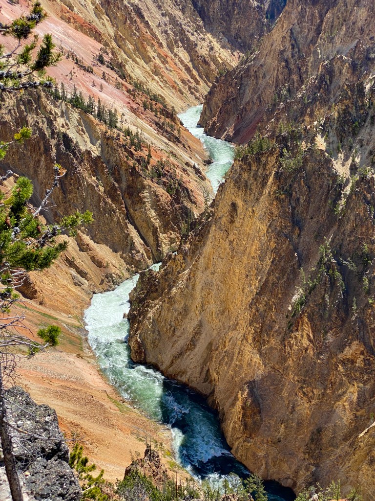
Yellowstone River from Grand View 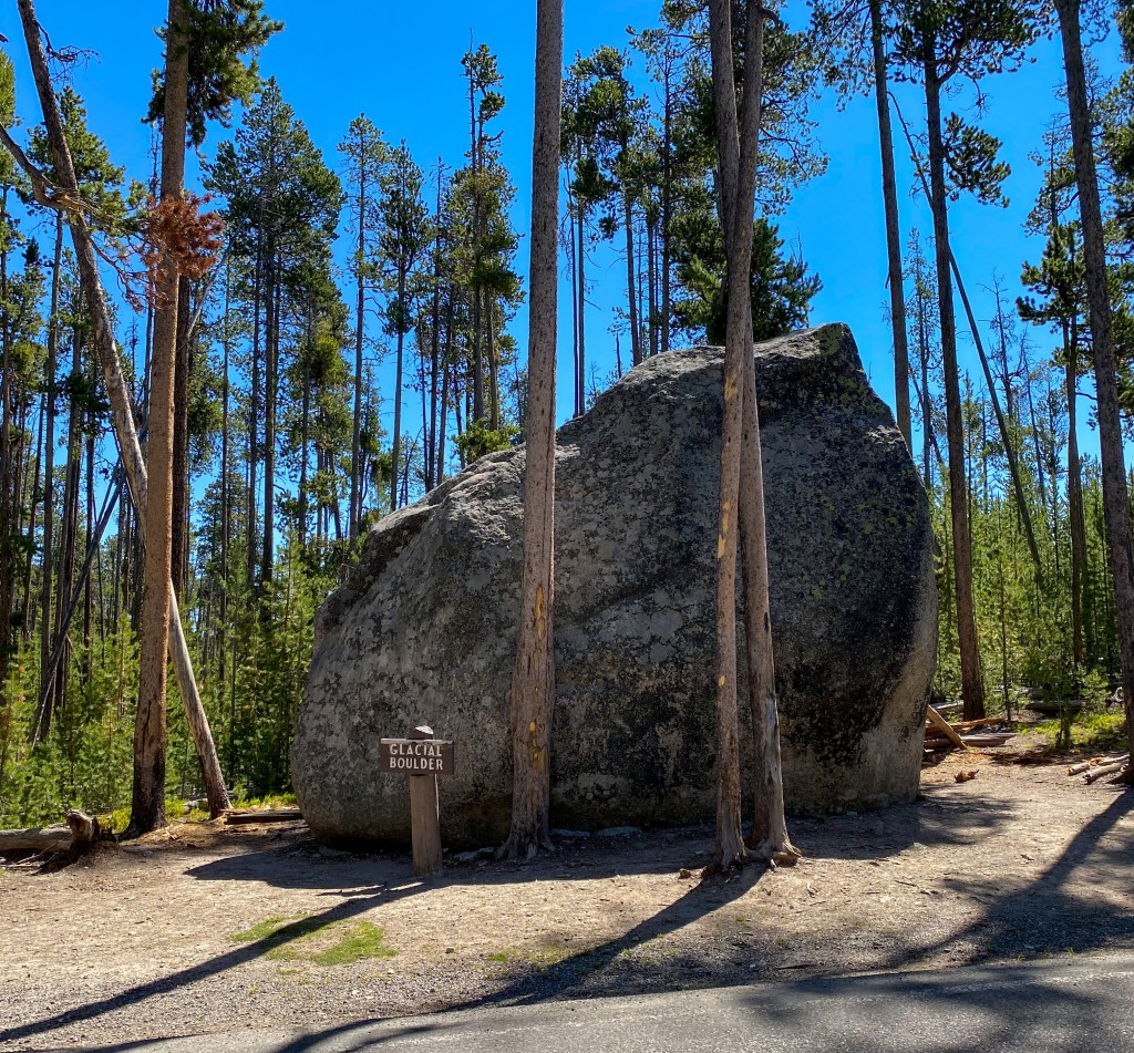
Glacial Boulder 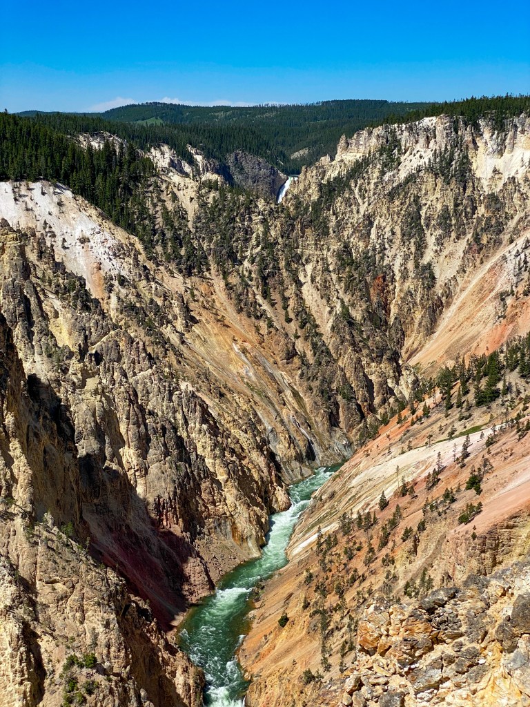
Inspiration Point back toward the Falls 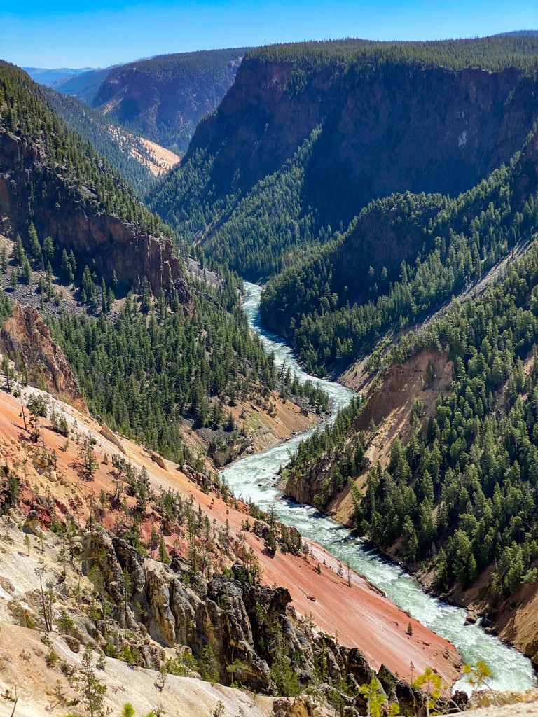
Inspiration Point into the canyon
After spending the first half of the day in the Canyon Area, we drove back over to the west side of the park to walk the Artists’ Paintpots trail, which is filled with…can you guess? More hot springs and geysers and mudpots!
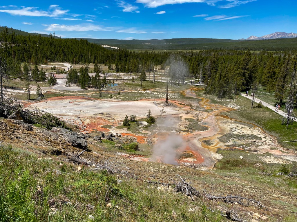
View from the top of Paint Hill 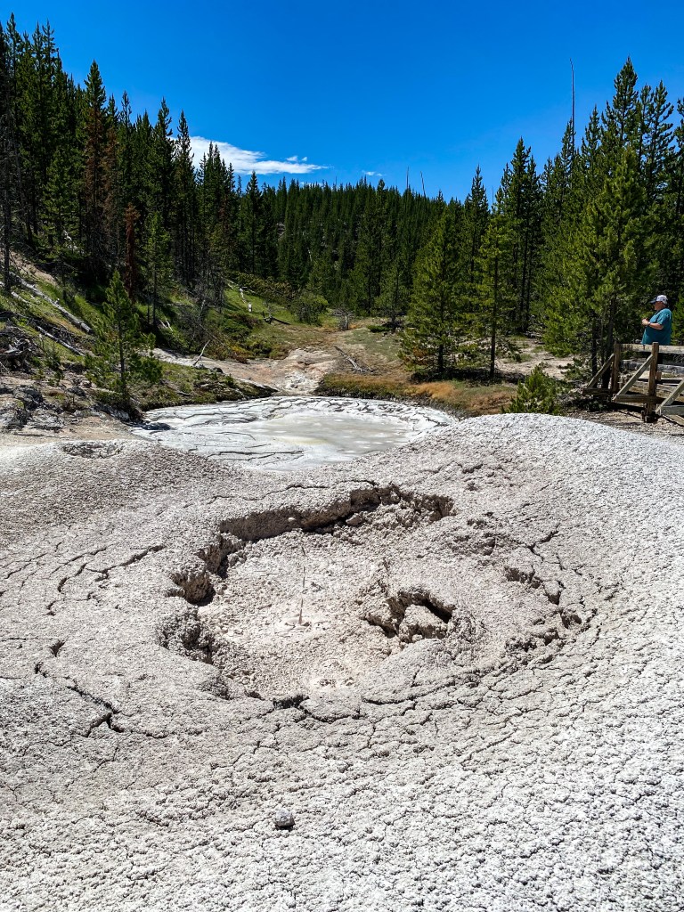
Artists’ Paintpots – careful of flying mud! 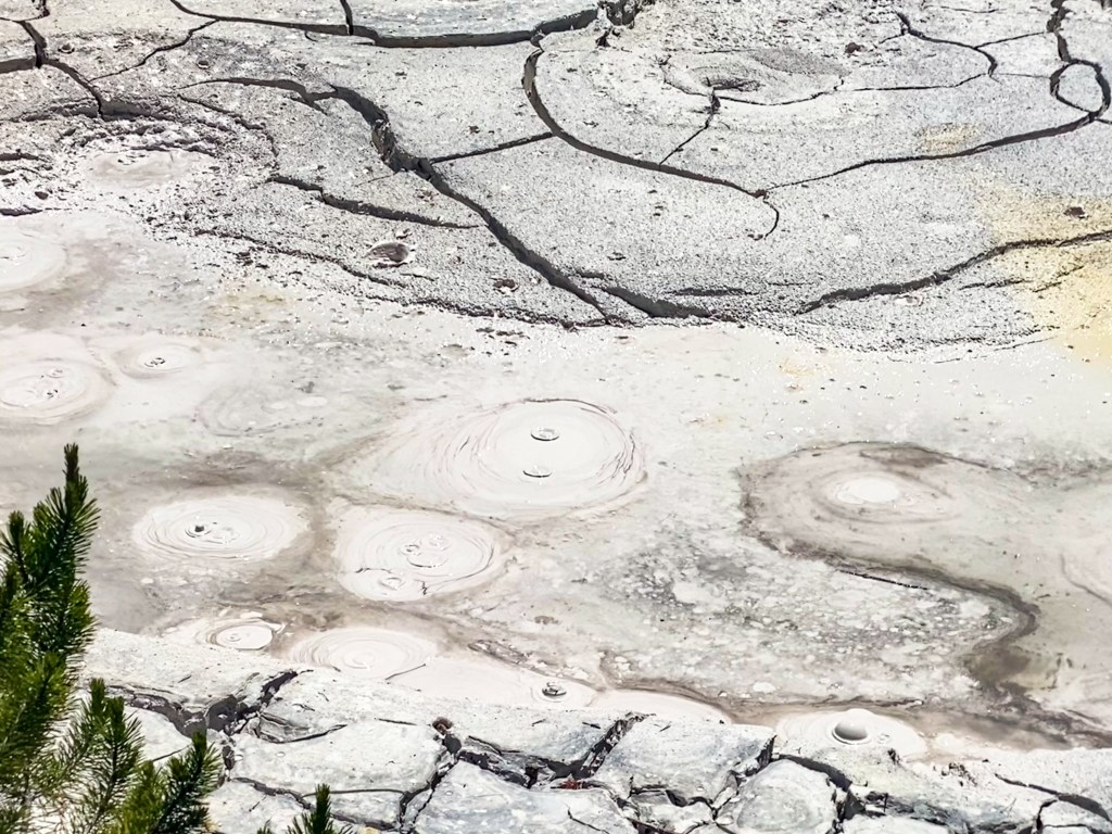
More of the paintpots and bubbling mud
The second big stop of the day was Norris Geyser Basin, which is made up of the Back Basin, home of the world’s tallest active geyser Steamboat Geyser (although now its eruptions are sporadic and unpredictable or minor) and the Porcelain Basin that has the Porcelain Springs overlook, one of the fastest changing areas in the basin. The milky color of the mineral deposited here (Siliceous sinter) inspired the name Porcelain. Scroll through to see some of the highlights from Norris Geyser Basin – there were a lot more features that just didn’t have the same wow factor.
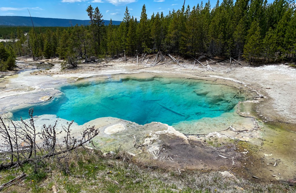
Emerald Spring – the yellow sulfur present here gives it its greenish hue 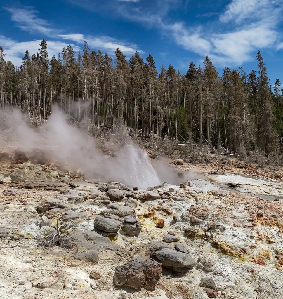
Steamboat Geyser 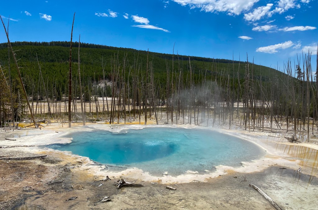
Cistern Spring 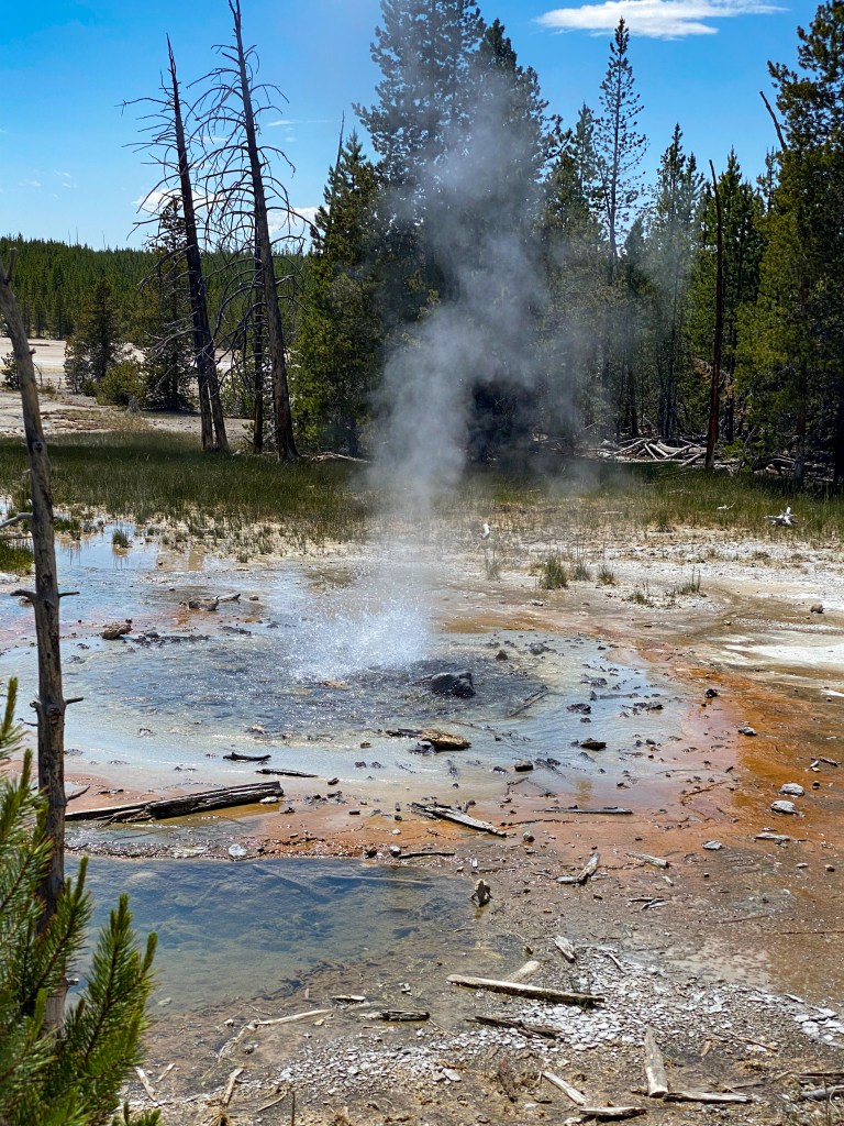
Minute Geyser – used to erupt every minute 50-60 ft but is now clogged with unremovable rocks due to early negligent visitors 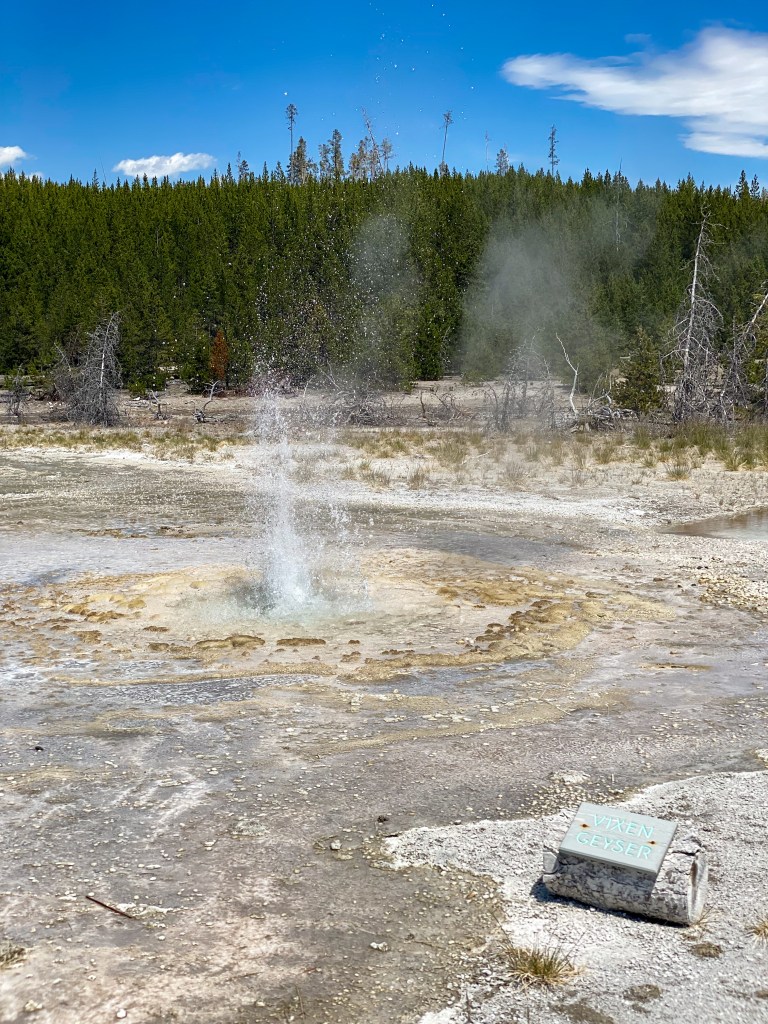
Vixen Geyser 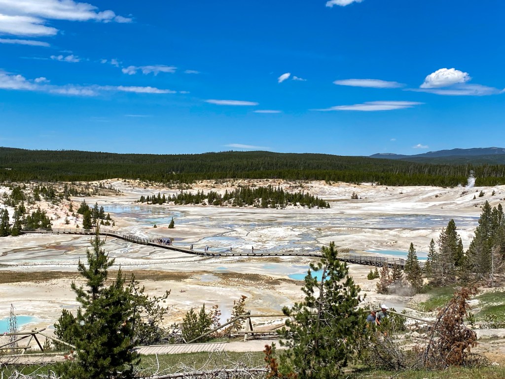
A look across Porcelain Basin 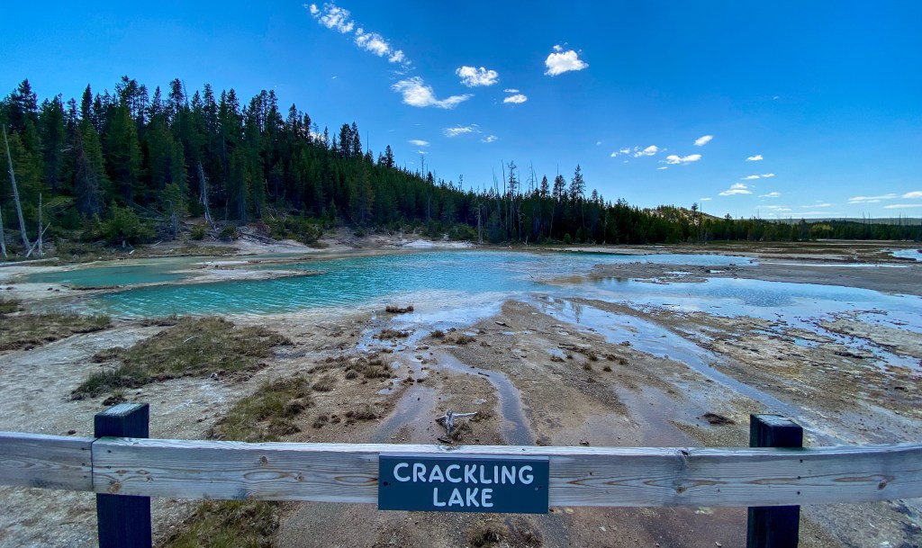
Crackling Lake 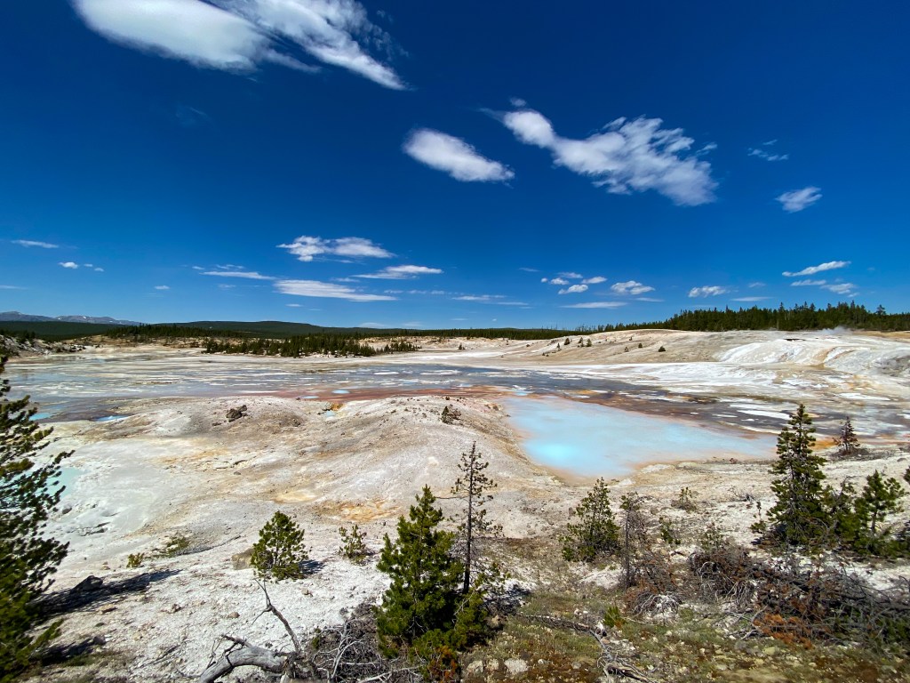
Porcelain Springs Overlook
The rest of the day was spent making pit stops along the way up to Mammoth and yet another traffic jam brought to you by the buffalos of Yellowstone.
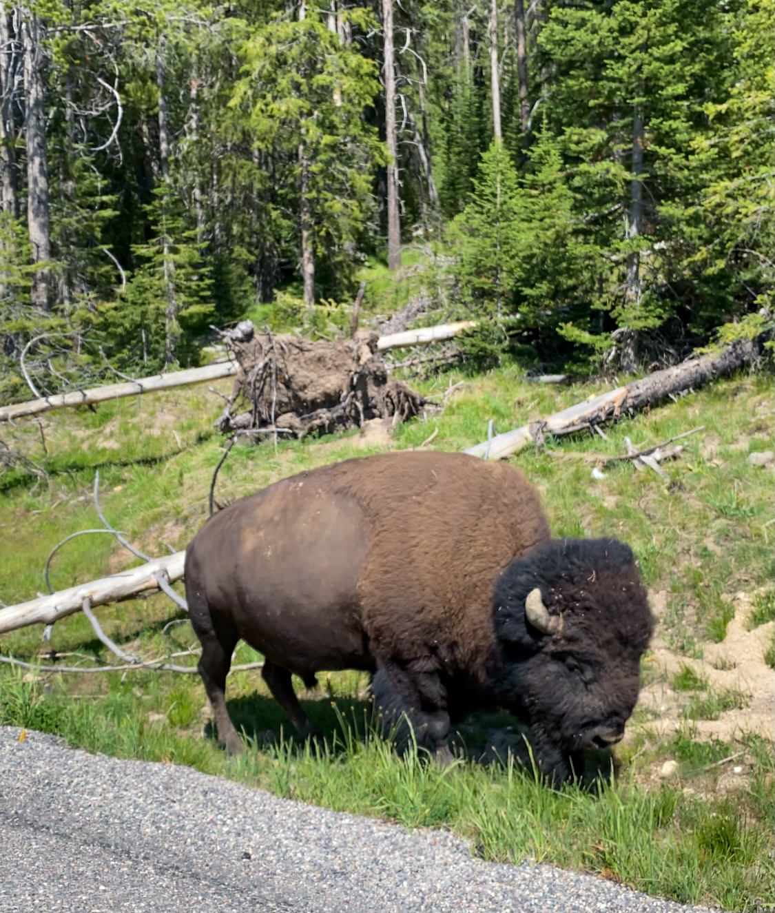
Another buffalo traffic jam! 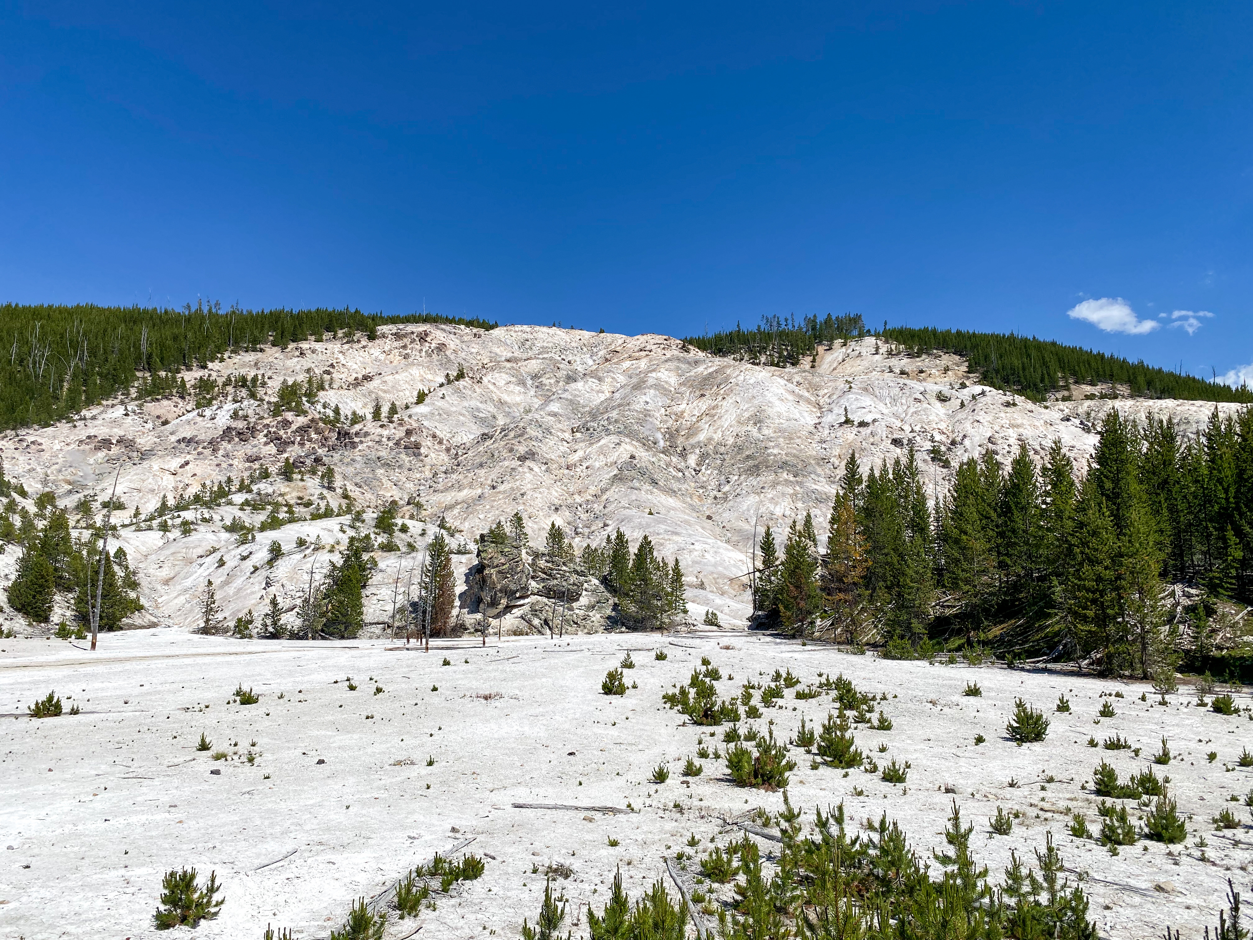
Roaring Mountain 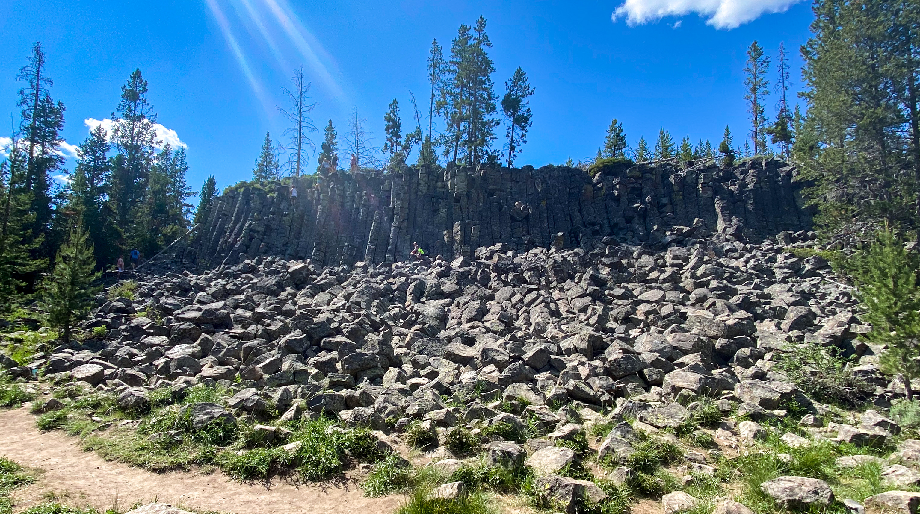
Sheepeater Cliff – named for the Shoshone tribe for their use of Bighorn Sheep 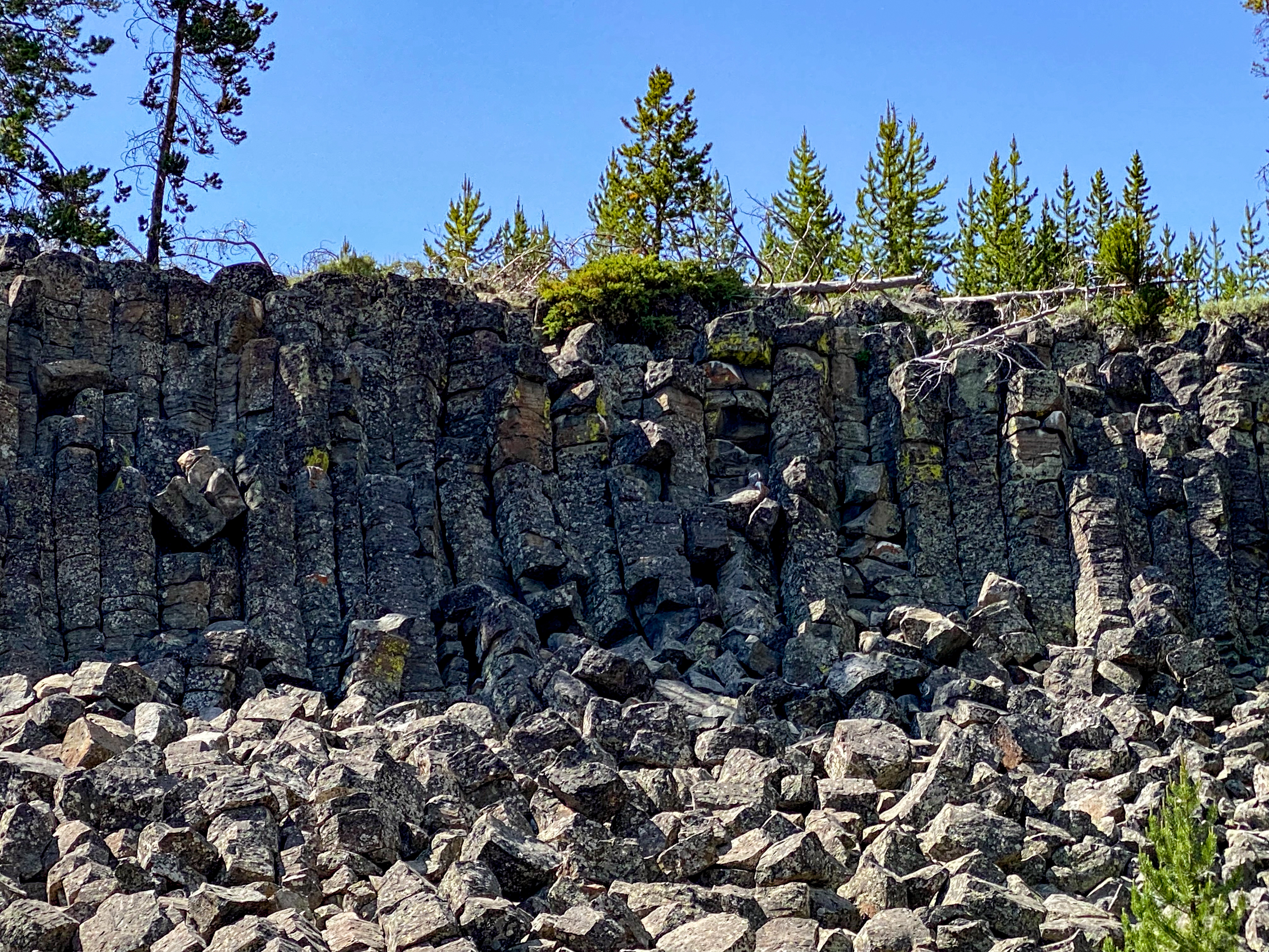
The cliff is basalt lava that formed ‘columnar’ Joints when it cooled around 500,000 years ago 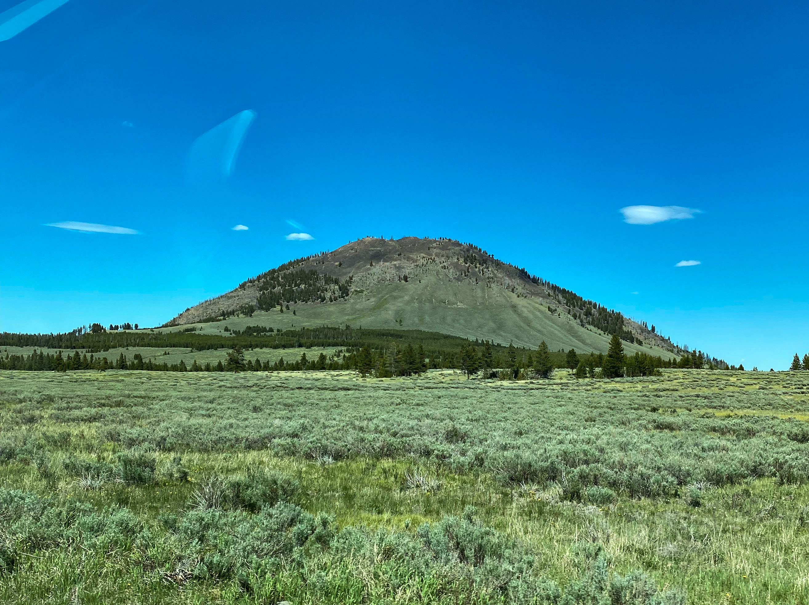
Bunsen Peak – 4.5 mile up and down hike to the top 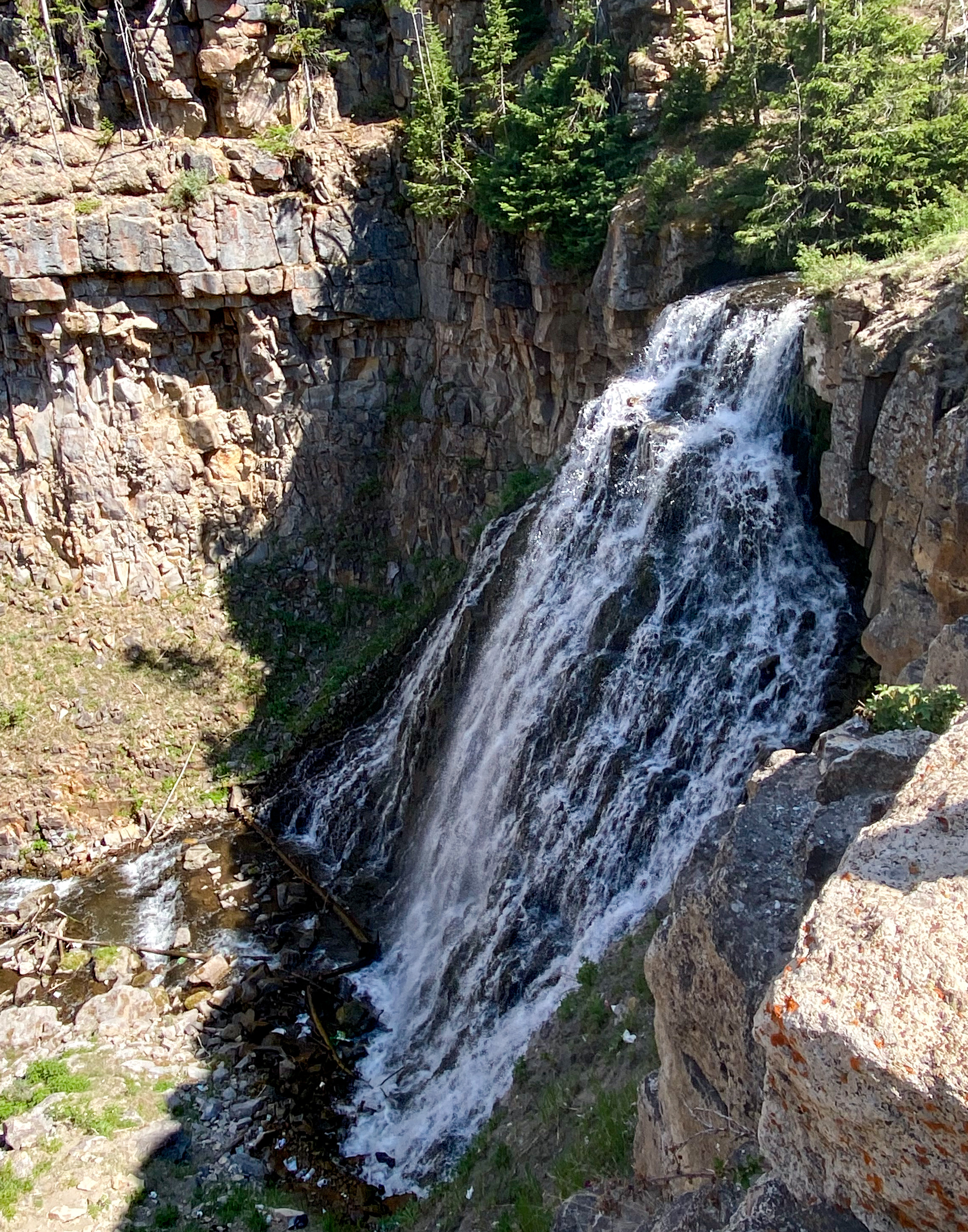
Rustic Falls 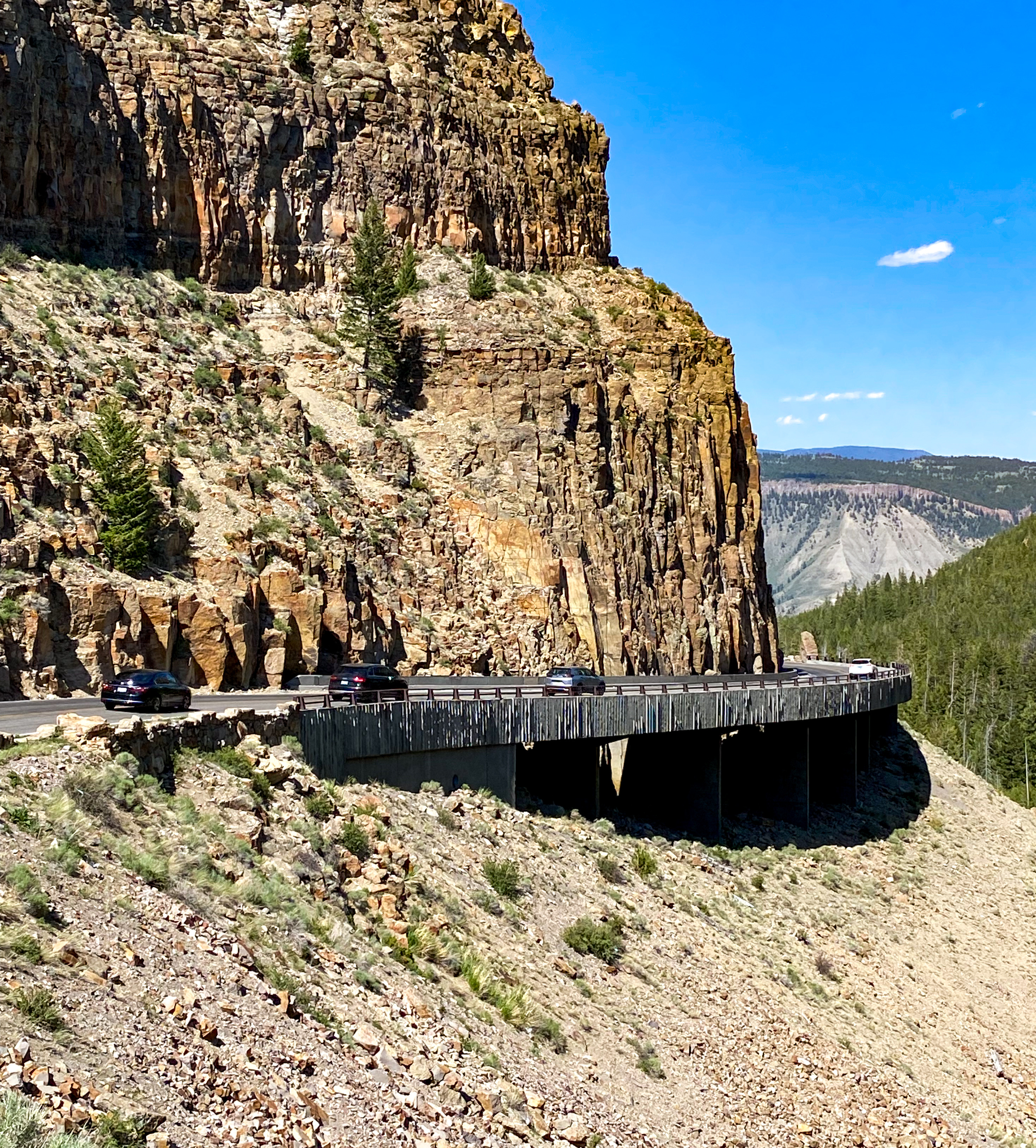
Golden Gate – the most difficult and expensive challenge the engineers faced building the first roads in the park 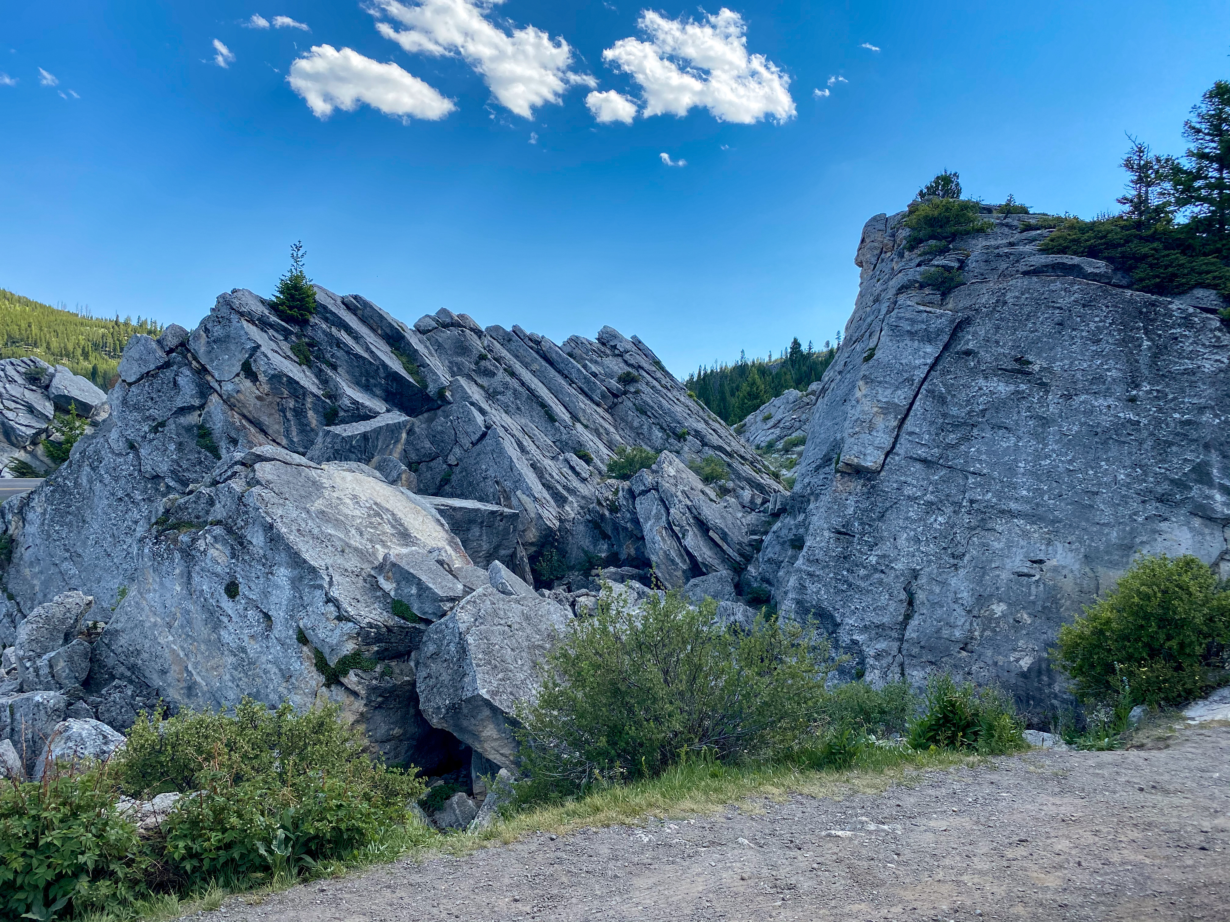
The Hoodoos 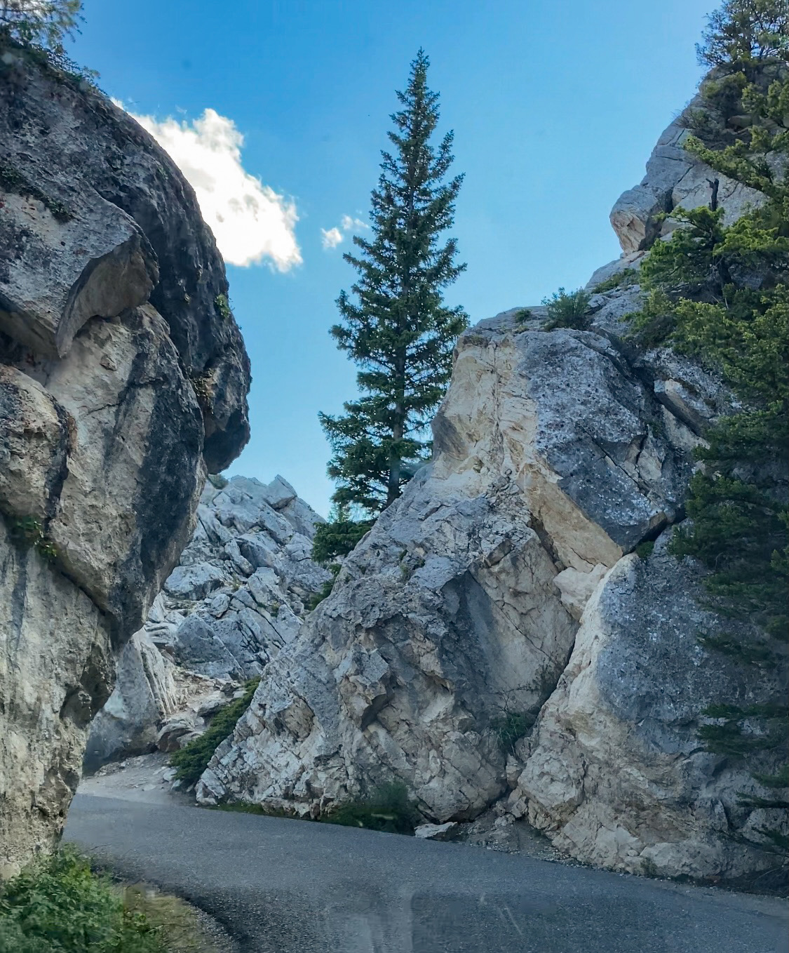
Formed from a previous rock slide 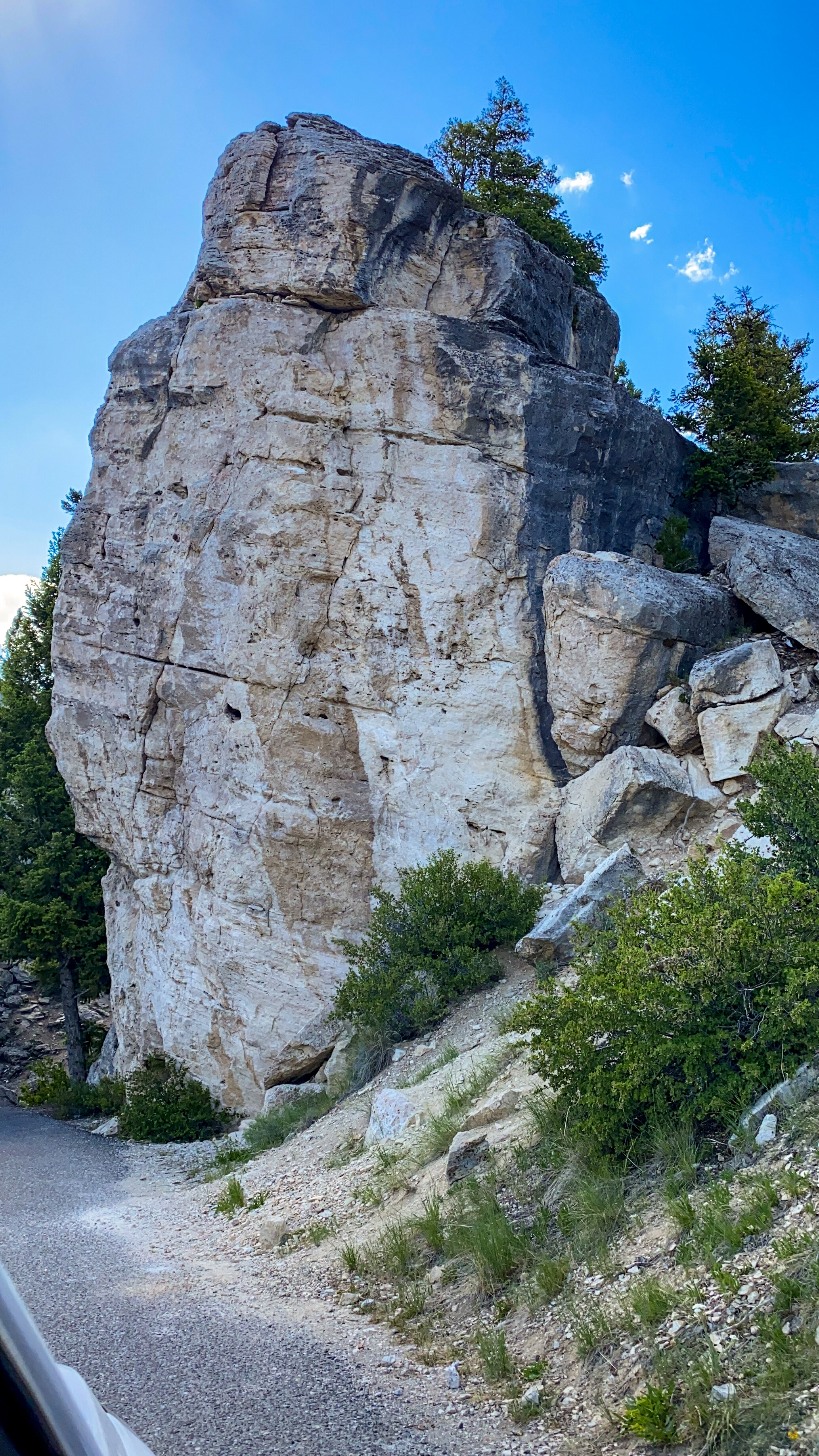
You can drive through them off a little loop road 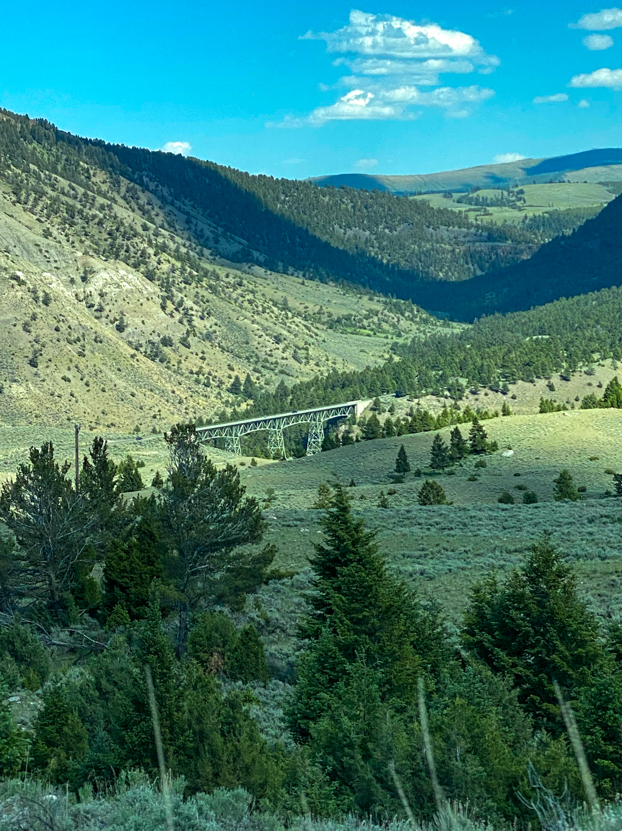
Bridge over Gardner River 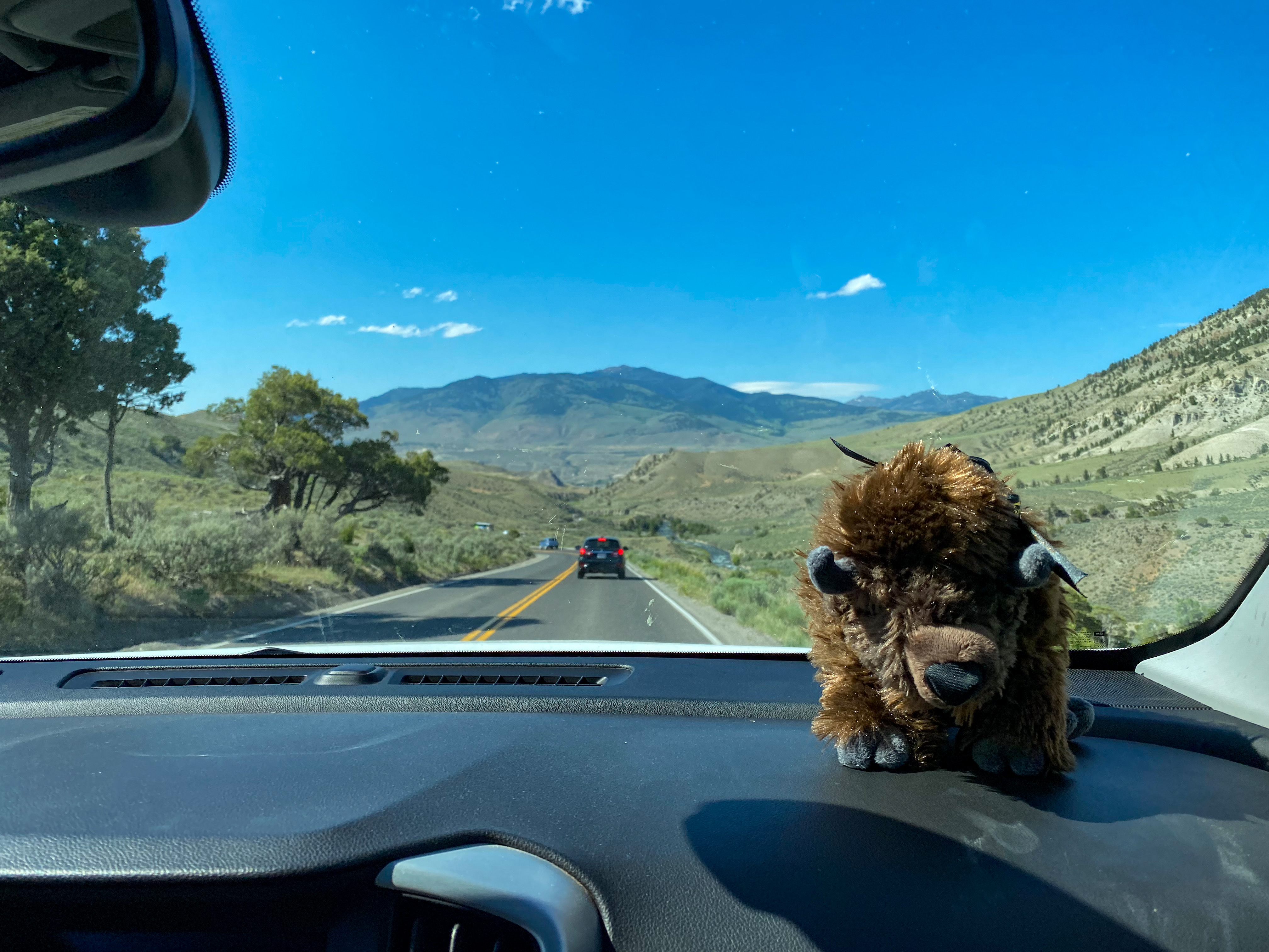
Buffy the Bison has a front row seat on the road trip 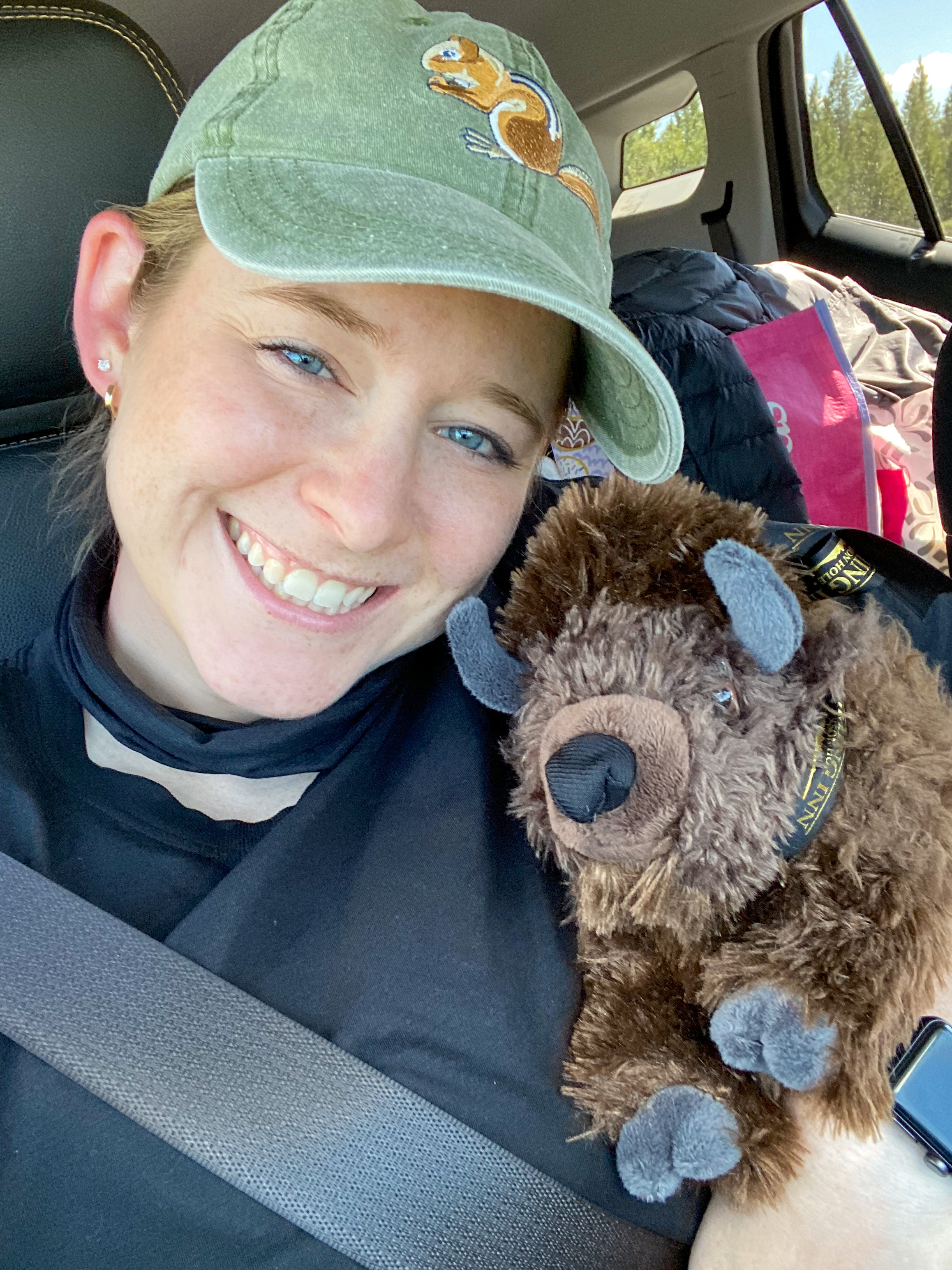
He’s having a great time!
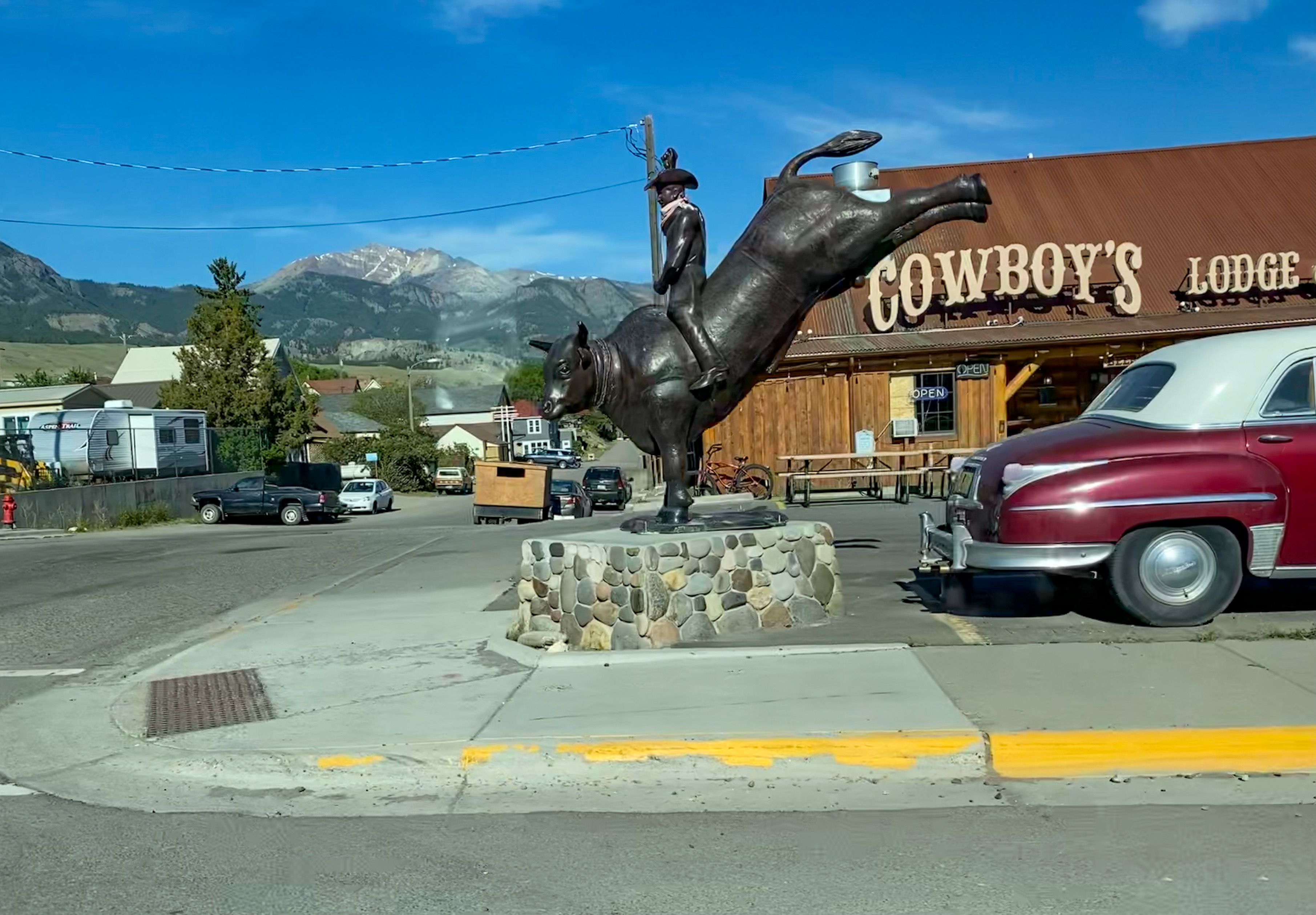
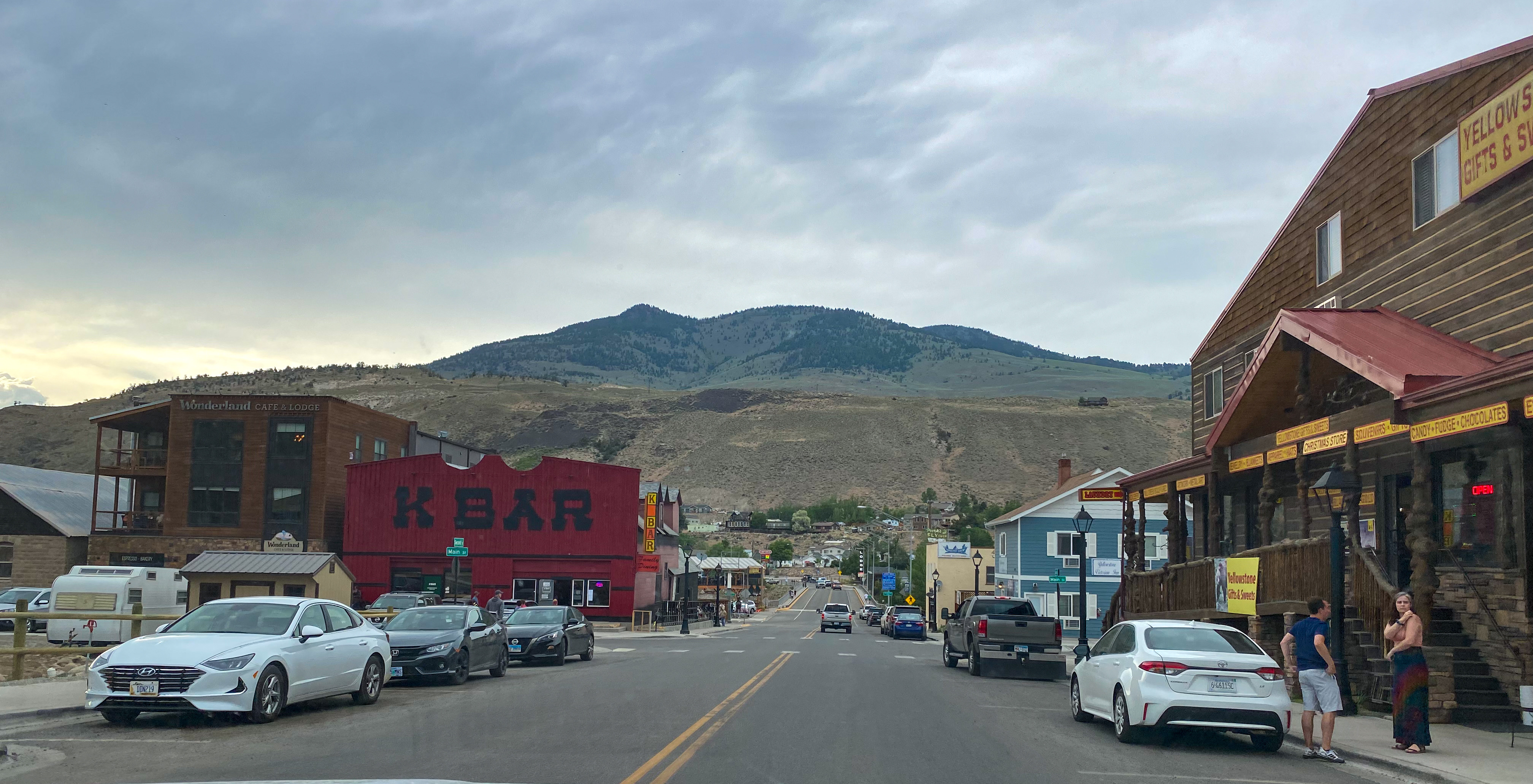
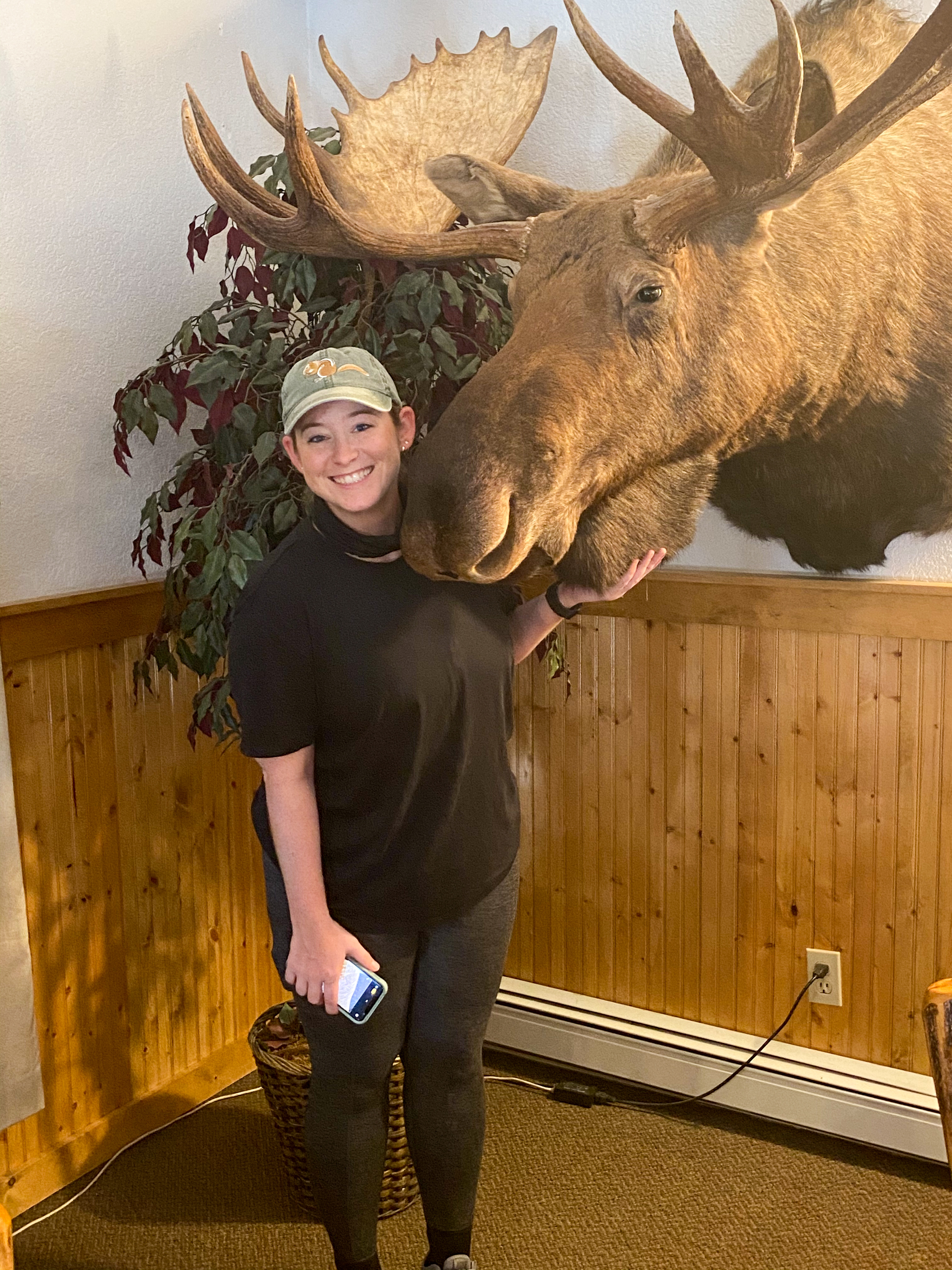
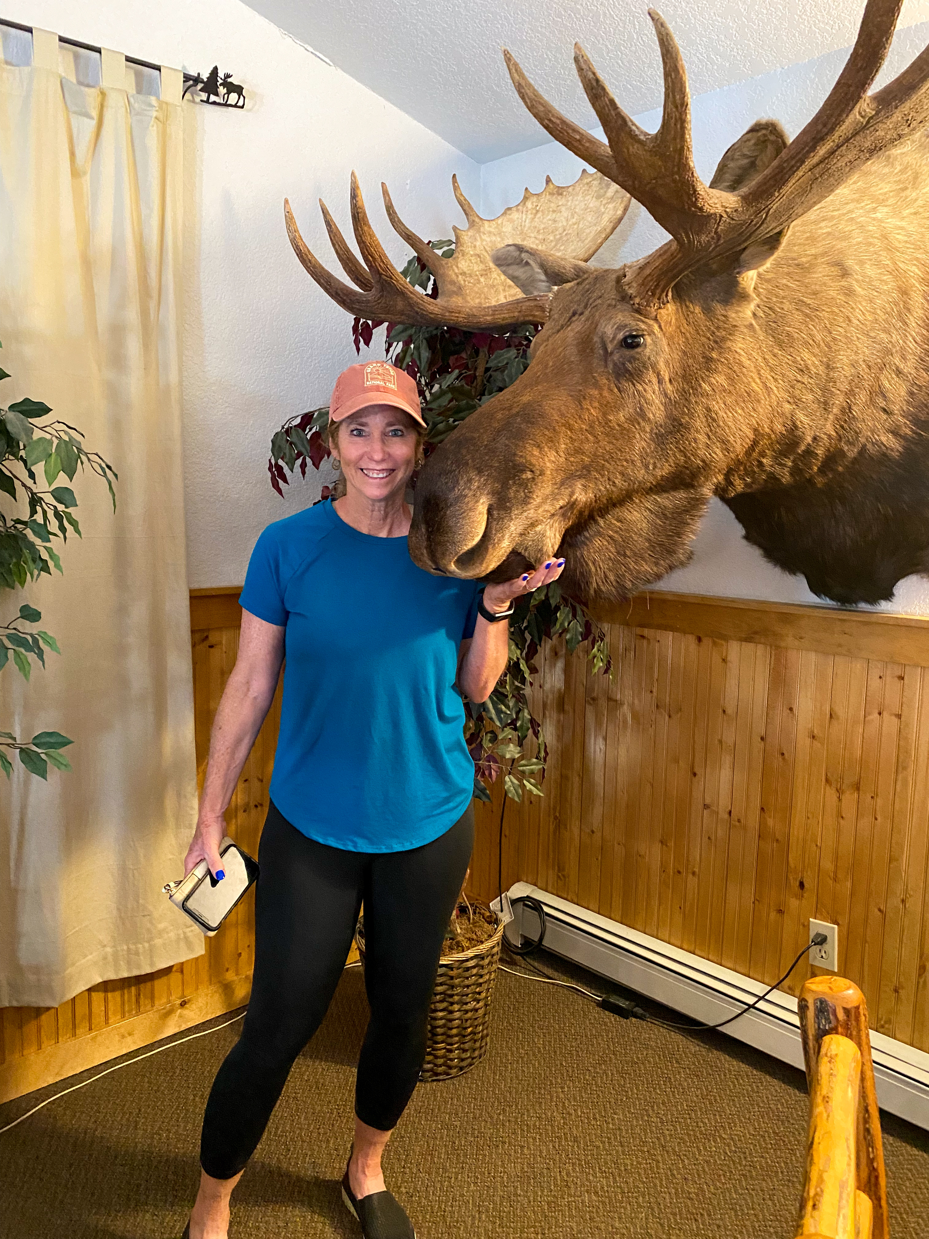
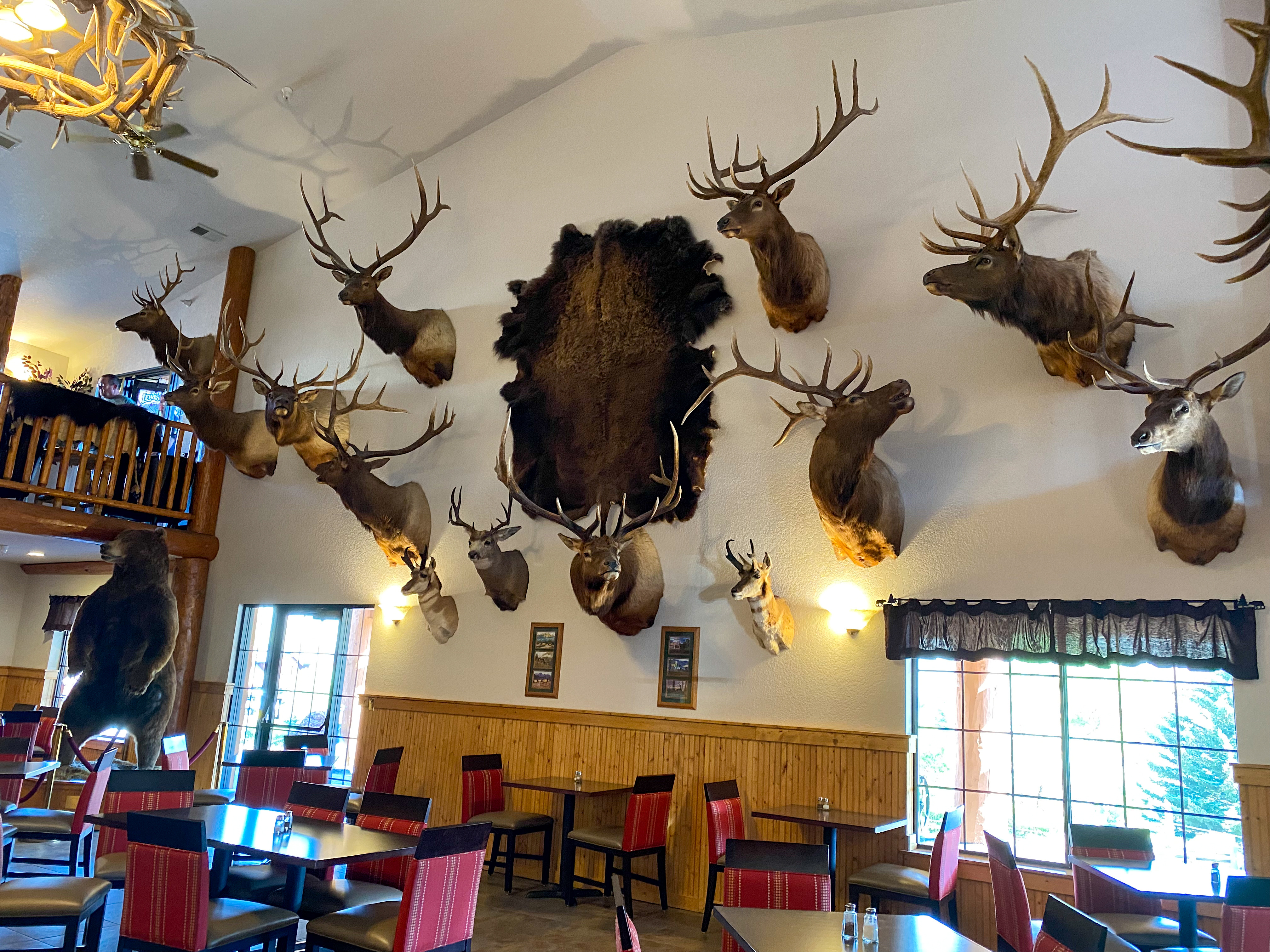
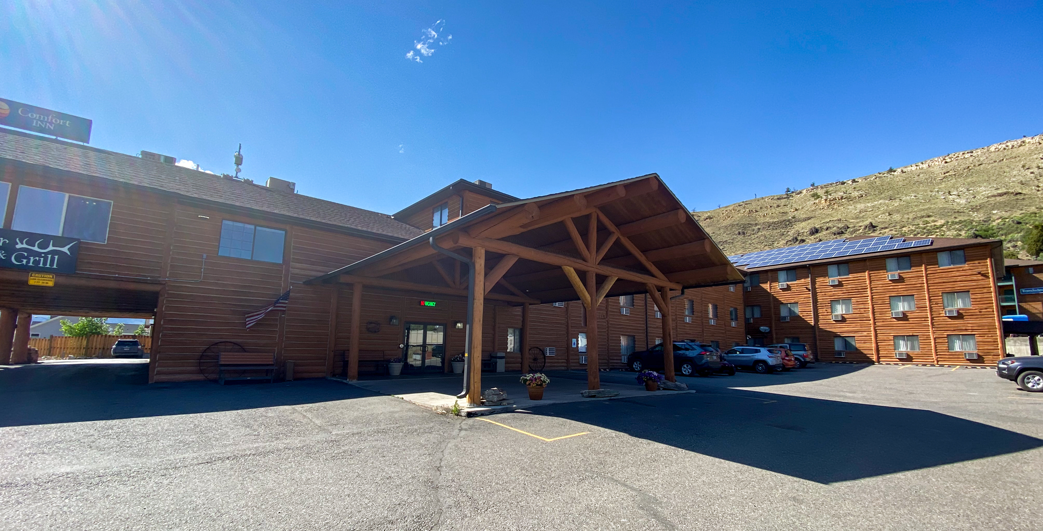
We made it up to Gardiner, MT the town right outside the North entrance to Yellowstone and stayed at the Comfort Inn, which definitely fit the mountain theme (a little more so than we were ready for!). The hotel had a restaurant – The Antler Pub and Grill, so dinner was extremely convenient (and delicious!) this night. Only one more day left in Yellowstone, so we were ready to make the most of it!
Day Four
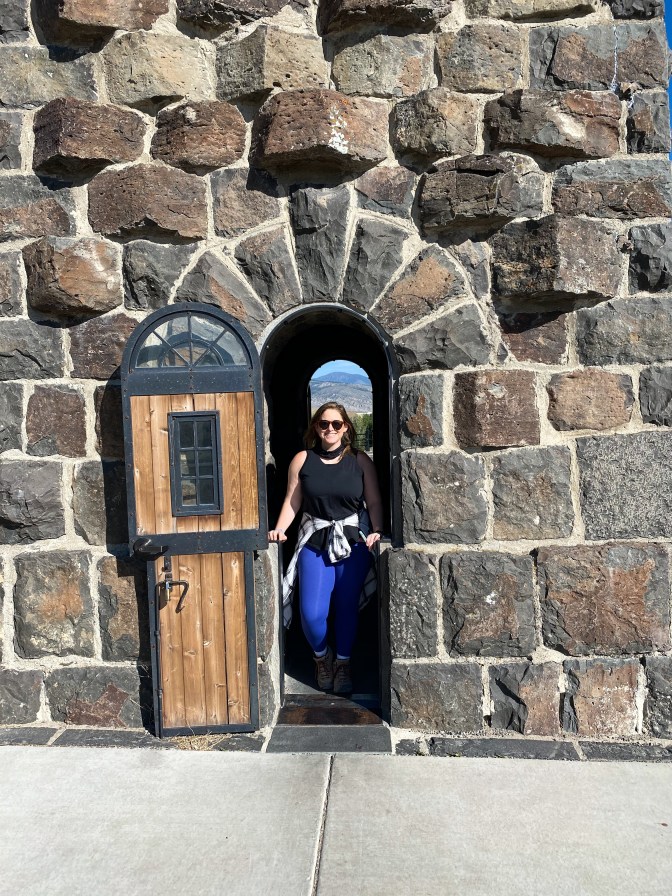
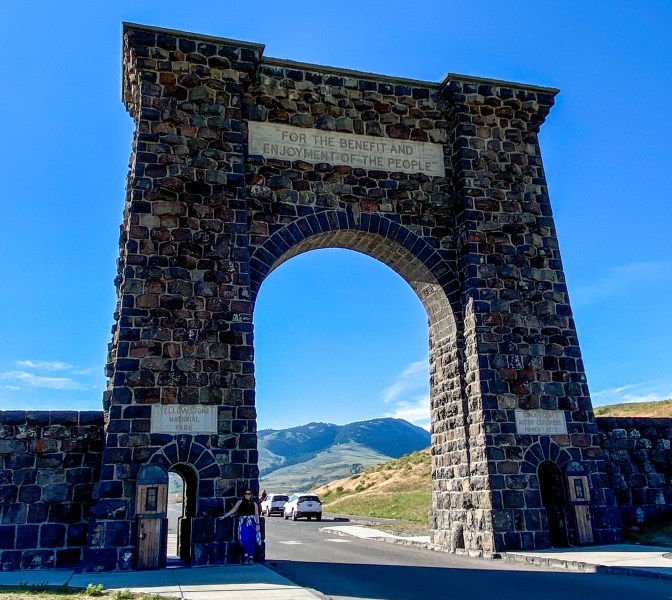
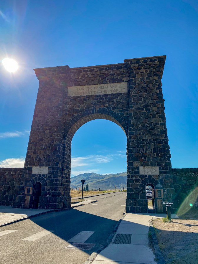
The day started with a quick stop to the Roosevelt Arch. Gardiner is Yellowstone’s original entrance where visitors would travel by horse and buggy through the arch to enter the park after traveling to Gardiner by train. The arch was built in 1903 – 31 years after Yellowstone was made a National Park – and was dedicated to President Theodore Roosevelt with the inscription at the top from the Organic Act of 1872, the legislation which created Yellowstone, which reads: “For the Benefit and Enjoyment of the People”. A monumental morning indeed!
The last big area of Yellowstone we had to visit was Mammoth Hot Springs. This was by far the most staggering landscape with the white mounds and terraces coming up out of the greenery surrounding it. Science lesson: the white color and material is actually called travertine, made from calcium carbonate that gets deposited on the surface from the hot springs water after traveling through all the buried limestone underground. This is why this area is ever-changing and evolving – this process never ends! Scroll through the photos below to see some amazing formations.
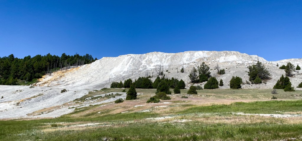
Mammoth Hot Springs from afar 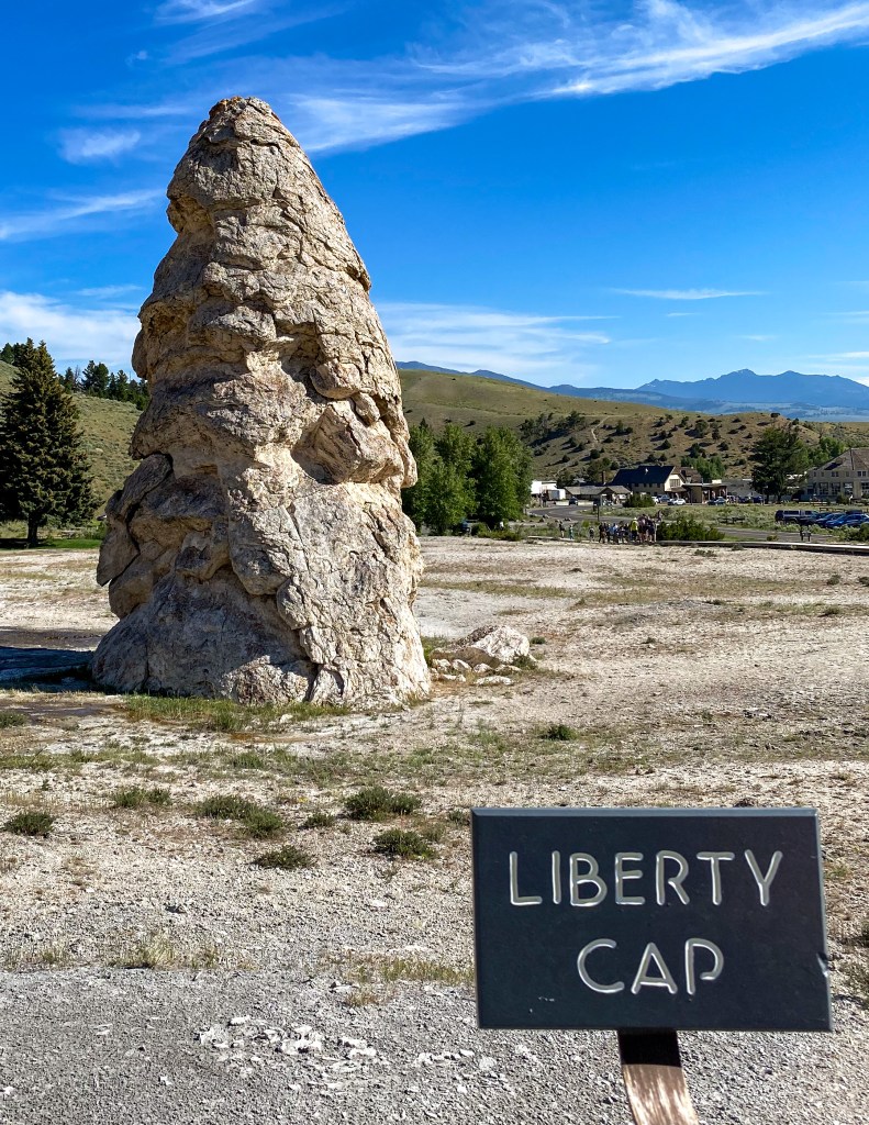
Liberty Cap – 37 ft. feature created by a hot spring that was active here in one location for a long time 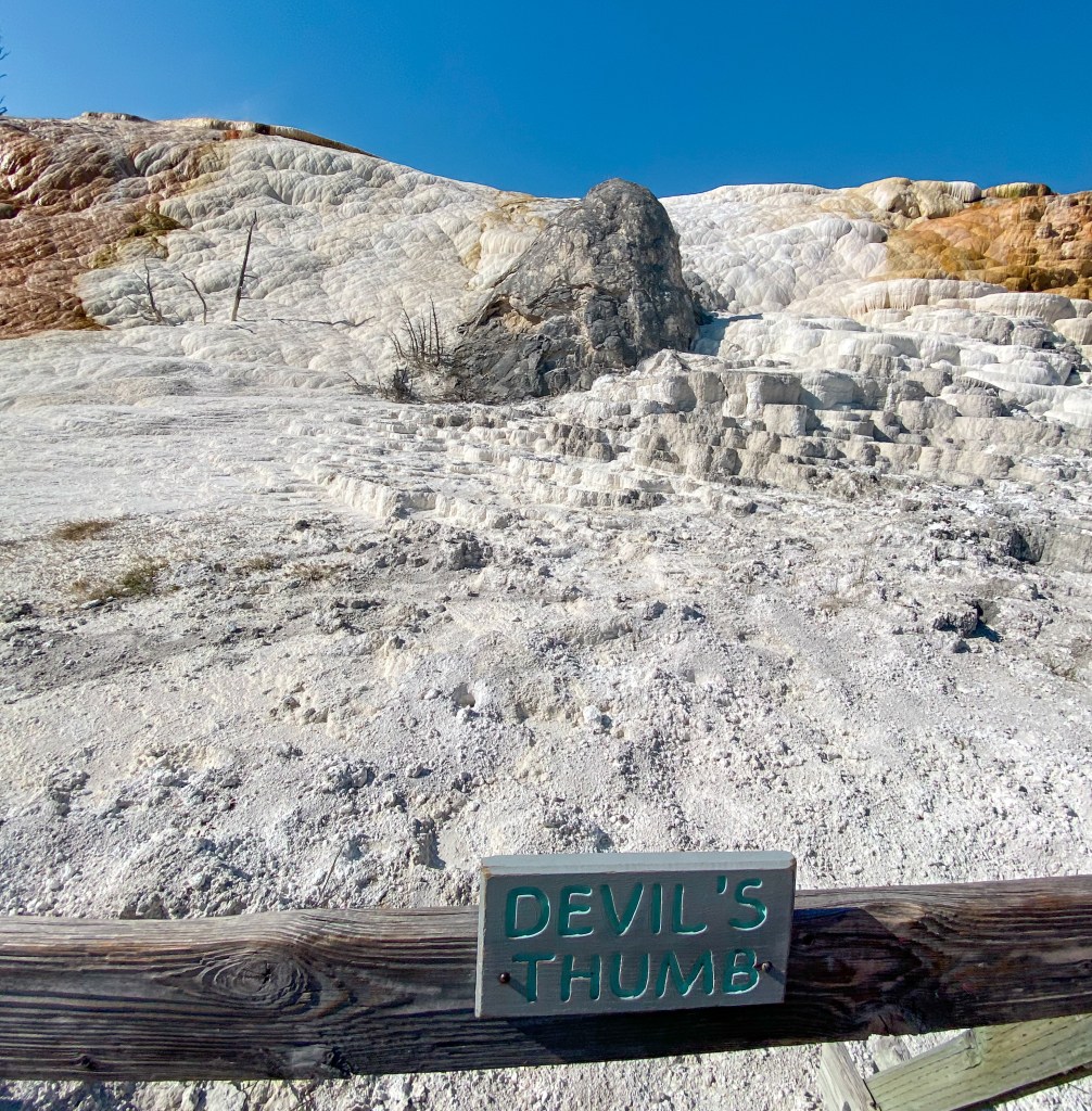
Devil’s Thumb 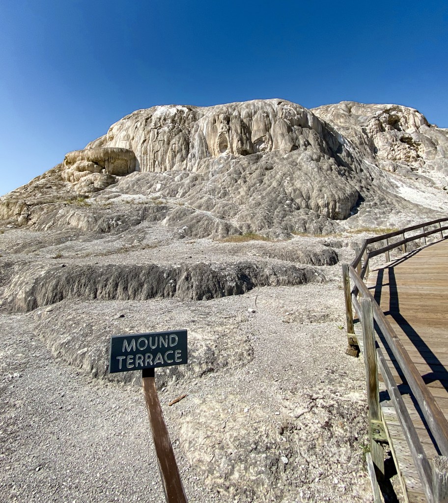
Mound Terrace – this terrace cycles through activity, inactive or dry for decades at a time 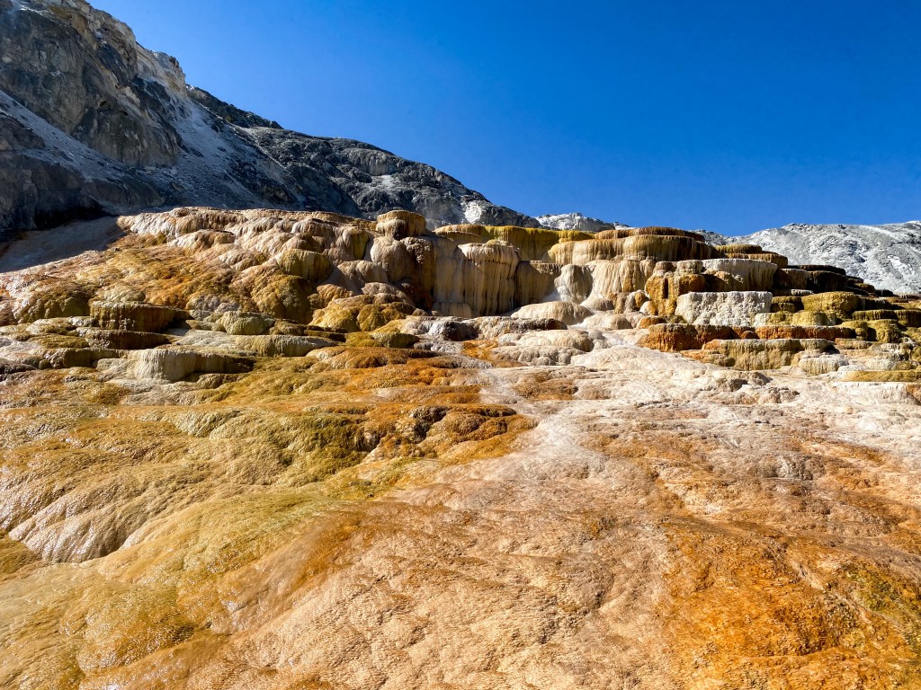
Mound Spring 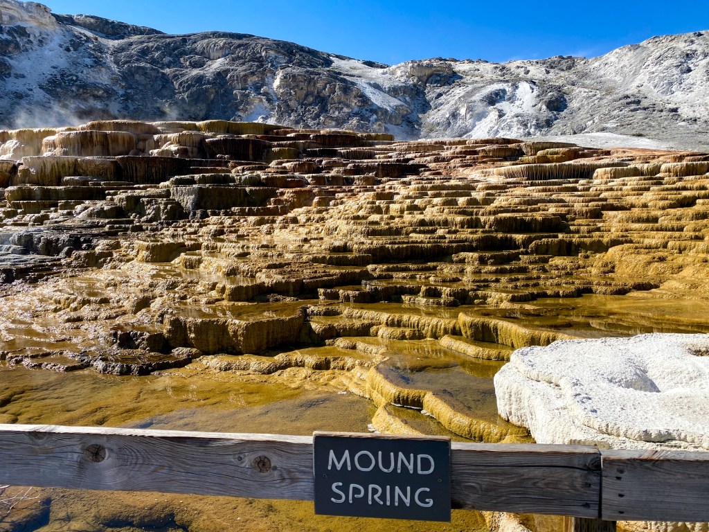
Mound Spring 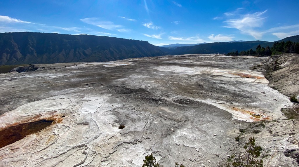
Overlook of Main Terrace 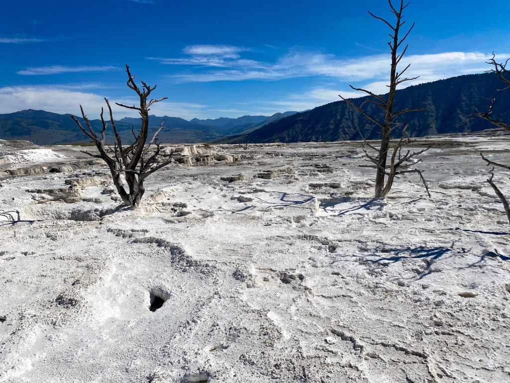
The Main Terrace looks like the surface of the moon 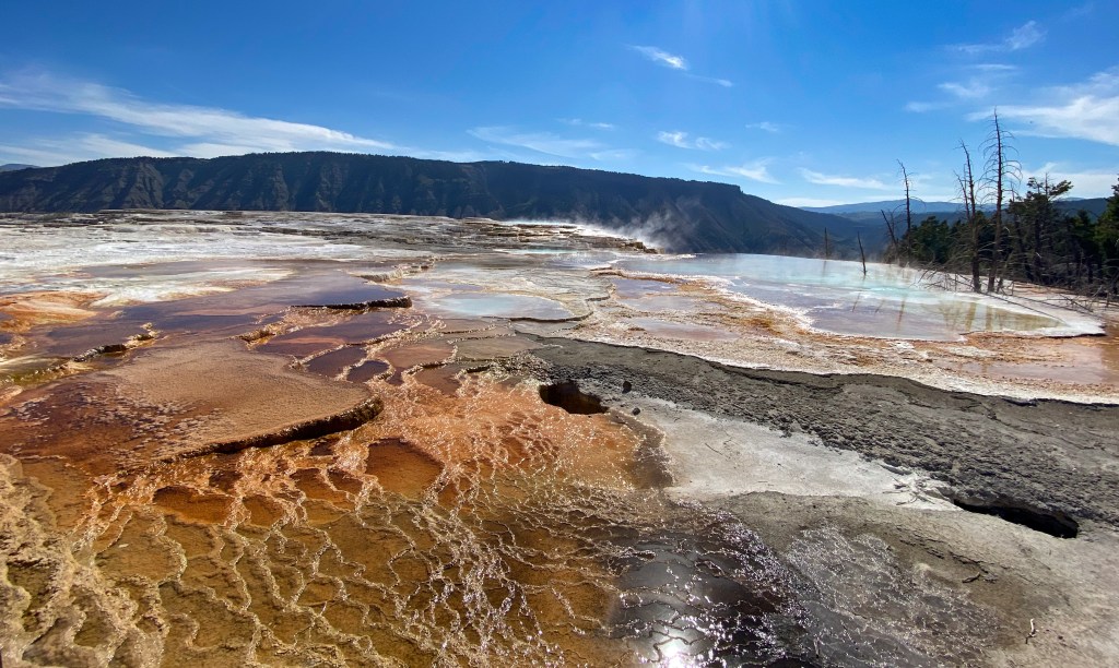
Canary Spring 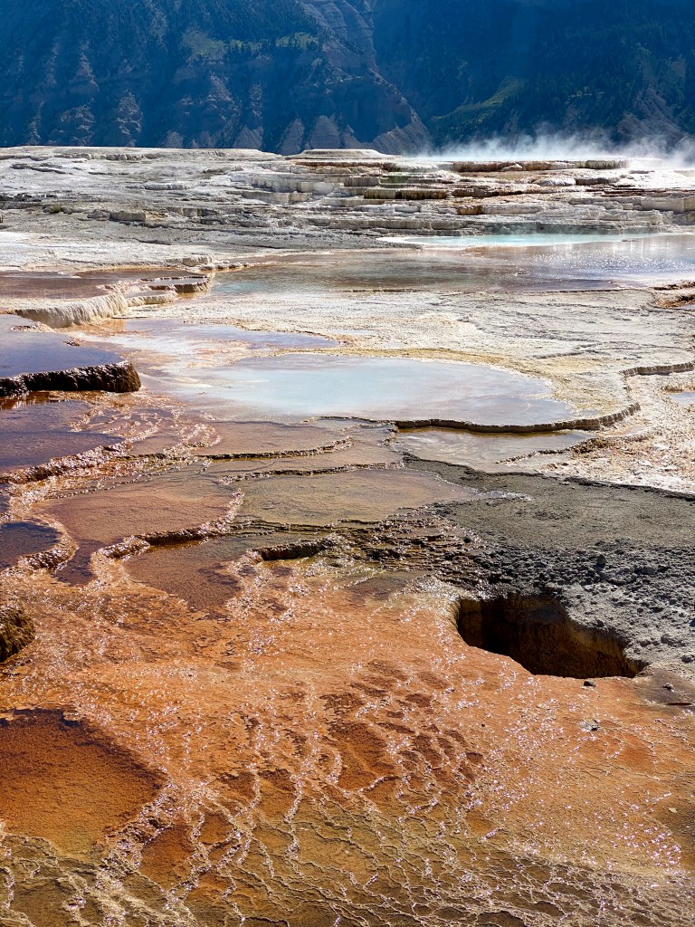
Closer look at Canary Spring 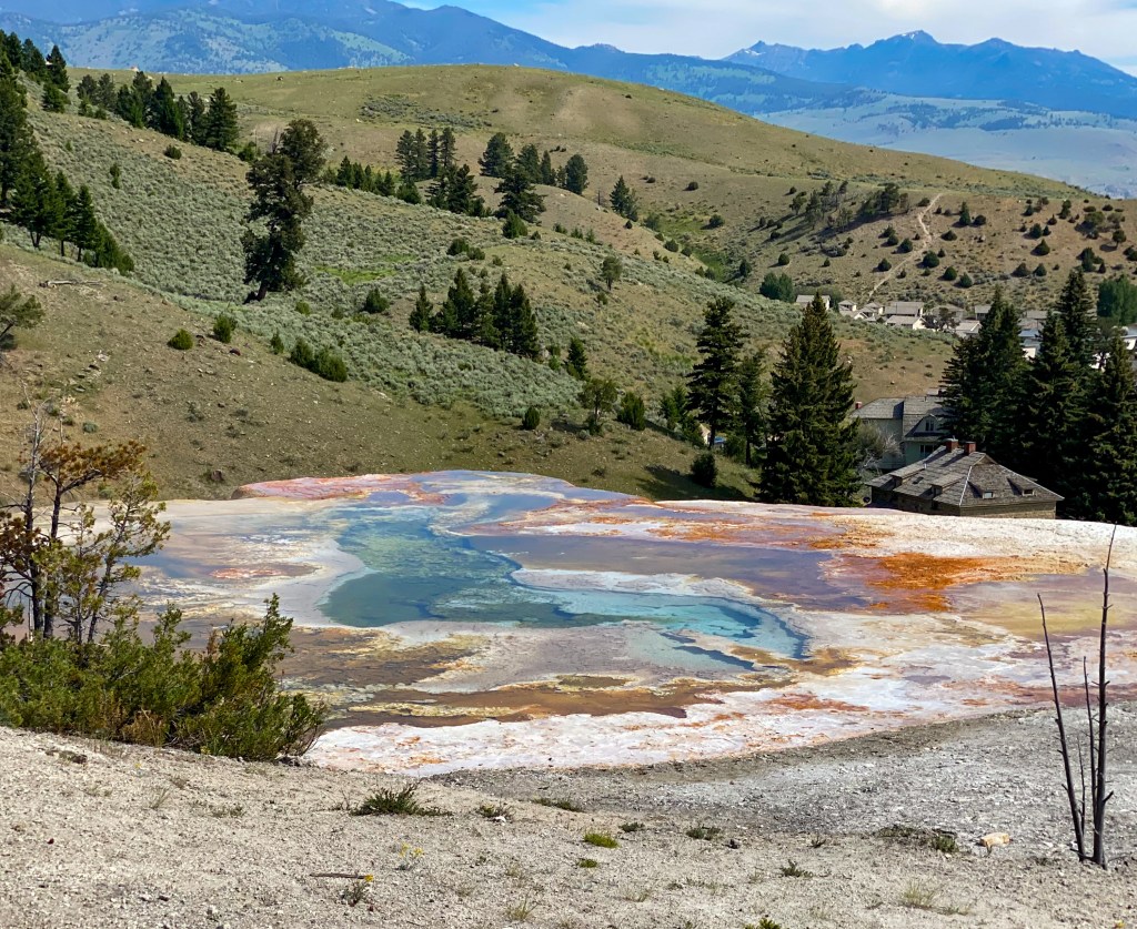
Palette Spring 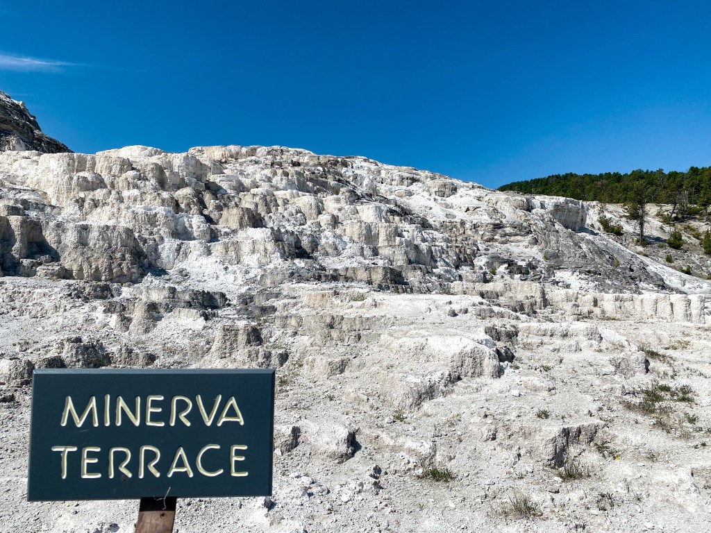
Minerva Terrace – the travertine formations look like layer cakes 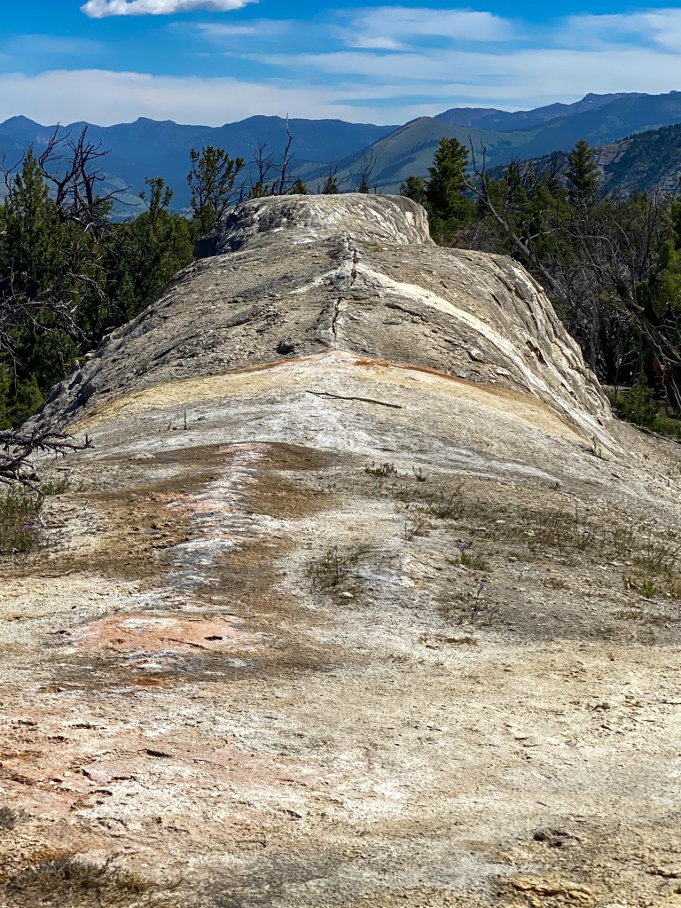
White Elephant Back Terrace – this looks like the back of an elephant, you can almost see the ears in the trees 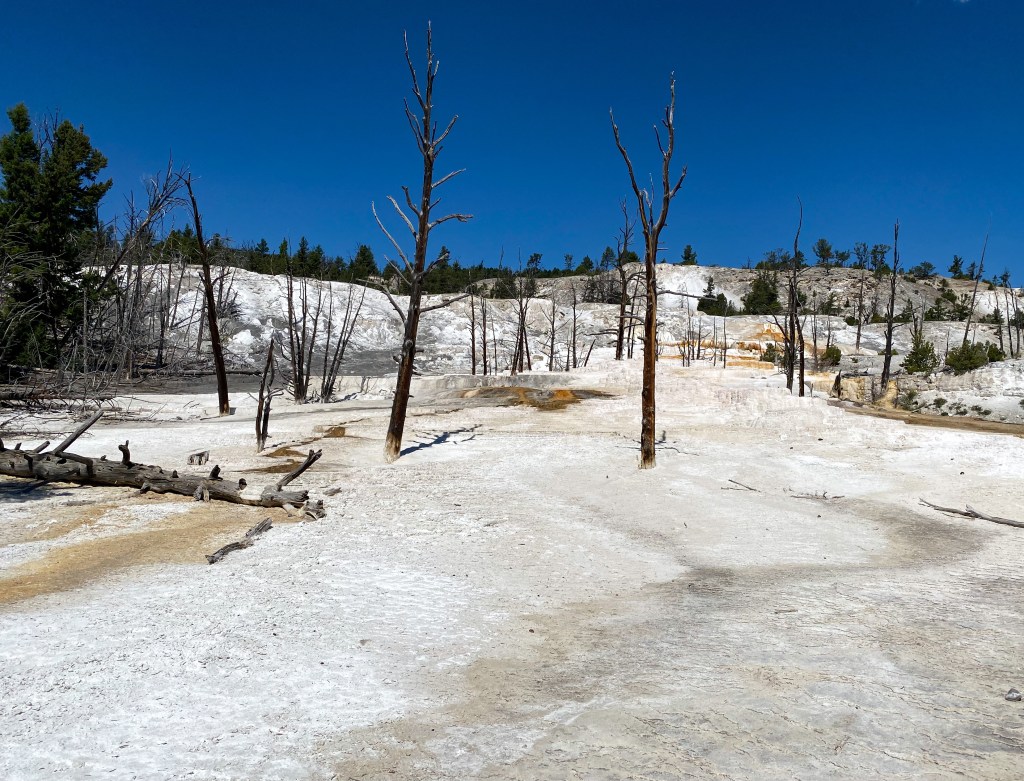
Angel Terrace – the stark white comes from an abundance of water and white travertine formations 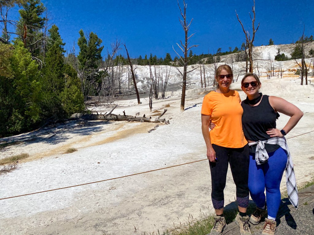
Angel Terrace
Once we finished the drive through the Upper Terraces, we visited the actual town of Mammoth, which is where the park headquarters are located and Fort Yellowstone. Before the National Park Service and Rangers were created in 1916, the US Army was brought into Yellowstone to manage and protect the park from vandalism, poaching, and other destructive activities. This fort and some of the other old barracks and buildings make up the Mammoth Hot Springs Historic District and are still being used today by Federal workers administering the park.
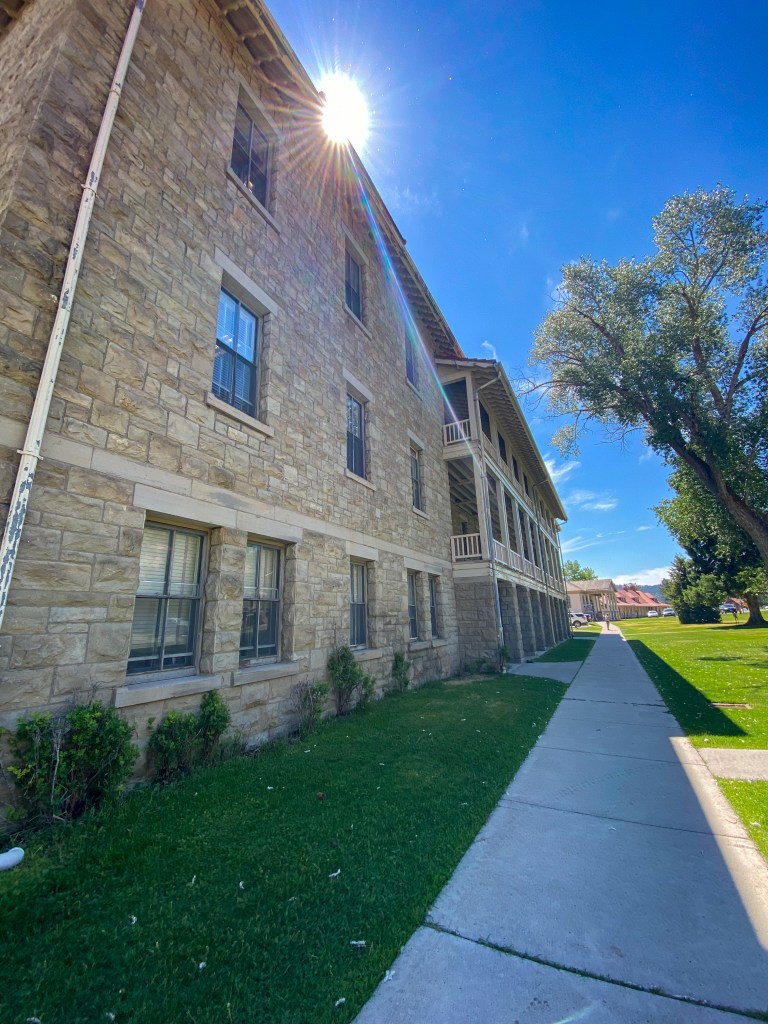
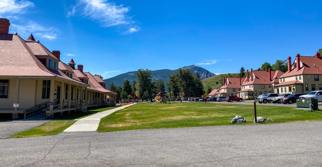
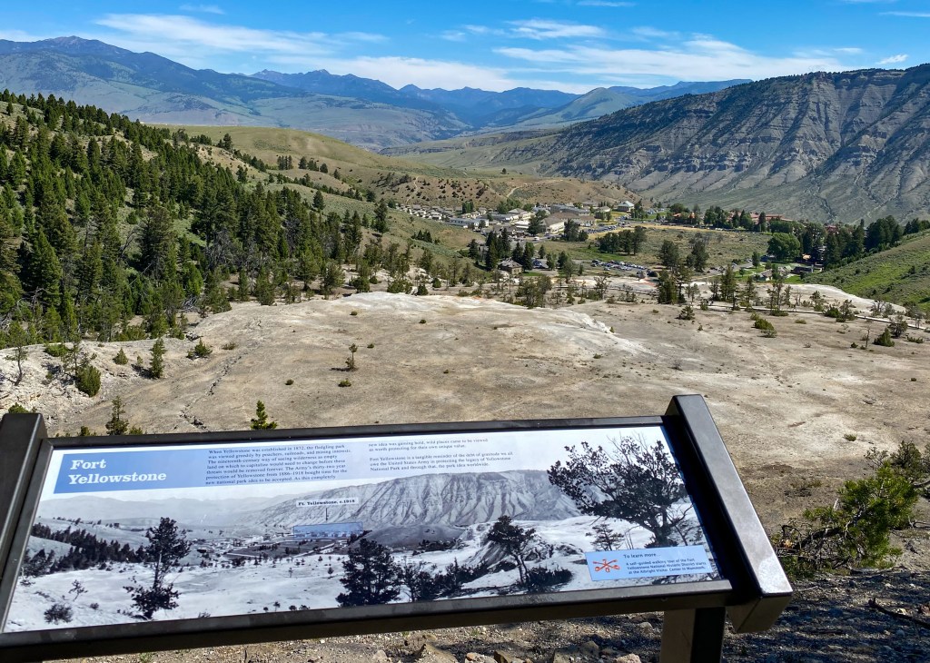
Click to see the Fort Yellowstone and Mammoth Overlook
Another key feature is the Mammoth Hot Springs Hotel. The hotel as it stands today was built in 1936, while retaining a wing of guest rooms originally built in 1911, and features its signature Map Room containing a large wooden map of the United States constructed of 15 different kinds of wood from nine countries. You can also usually spot some elk grazing in front of the hotel.
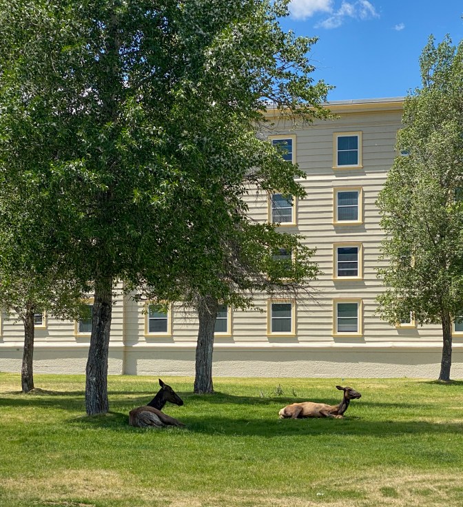
Elk having a relaxing morning in the shade 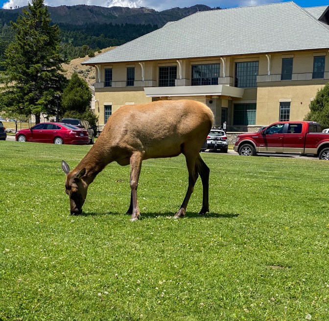
Female Elk grazing 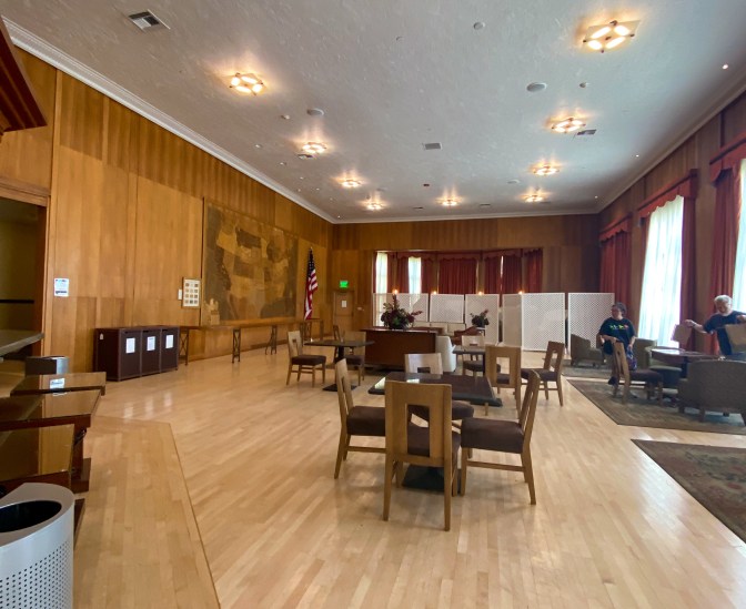
The Map Room 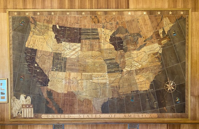
Infamous wood Map 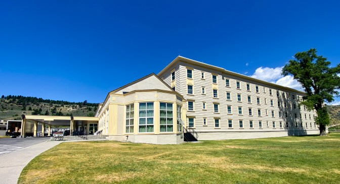
Mammoth Hotel
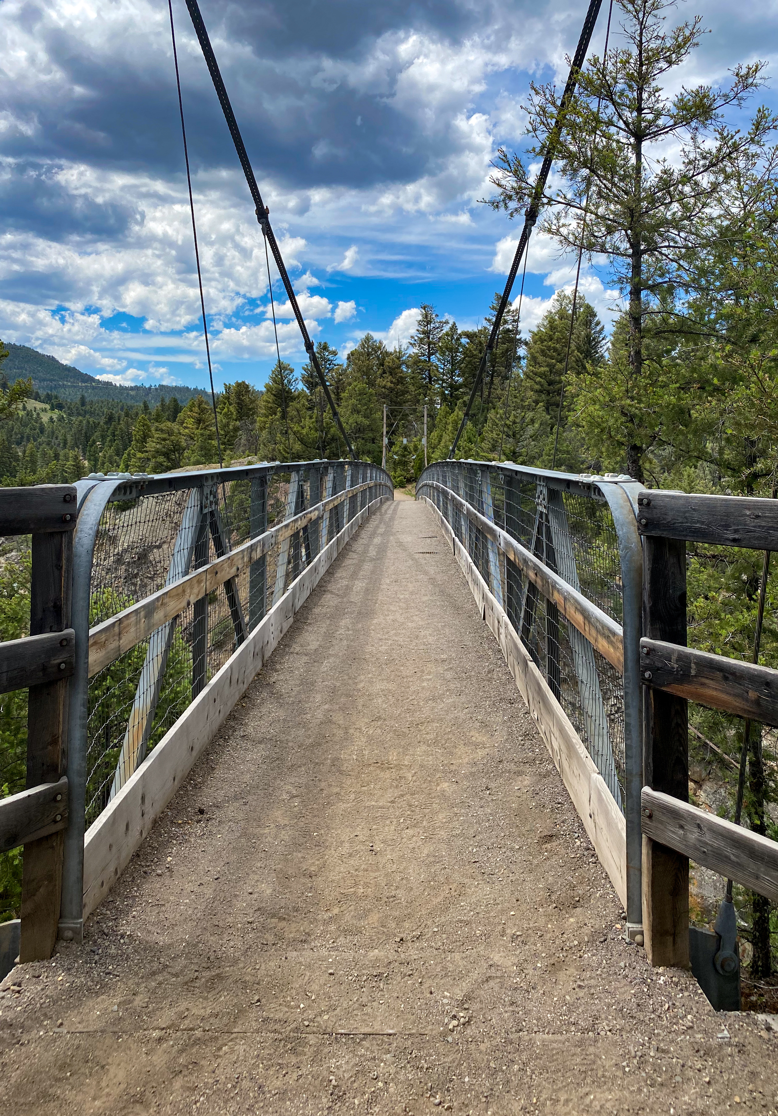
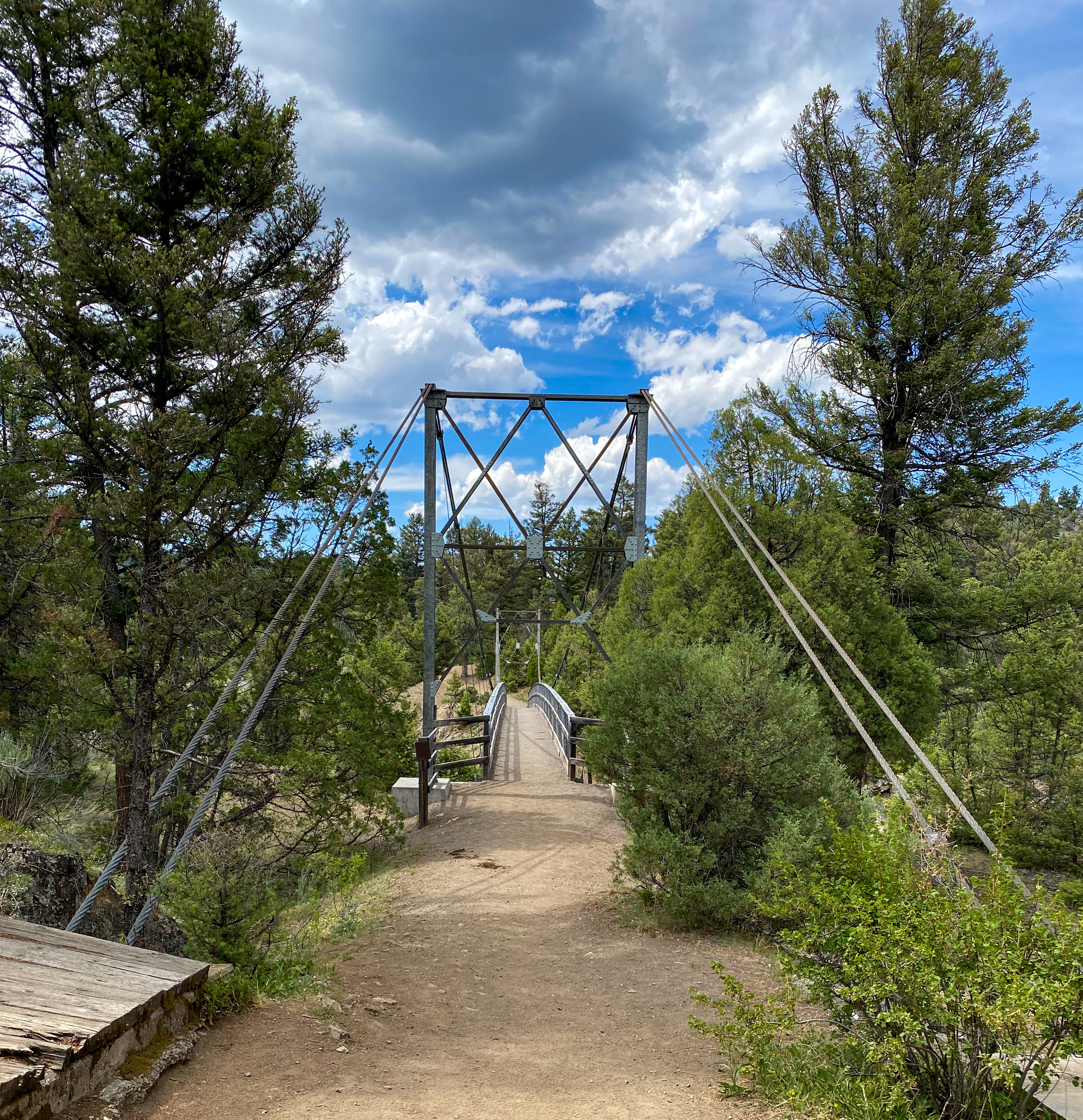
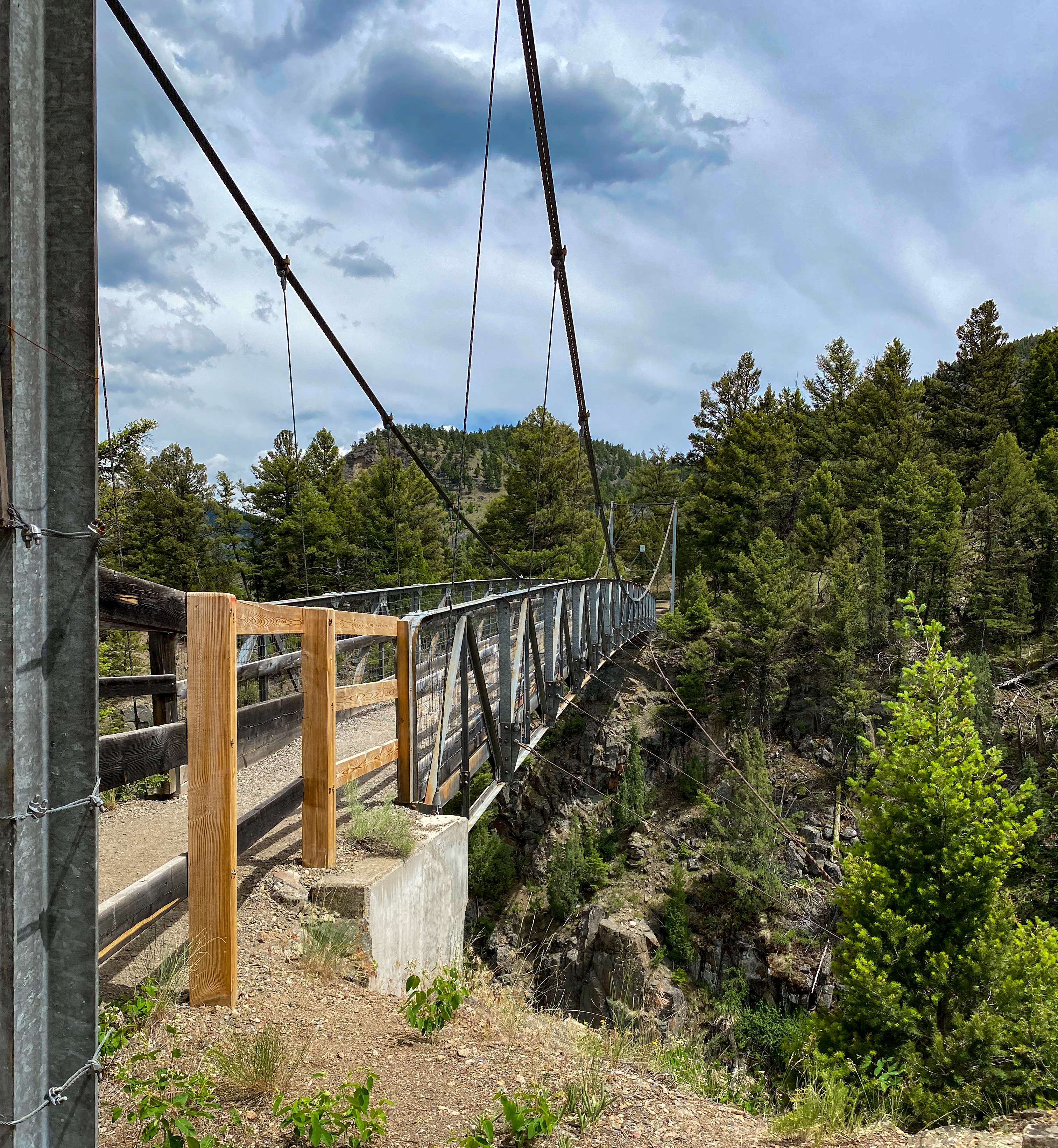
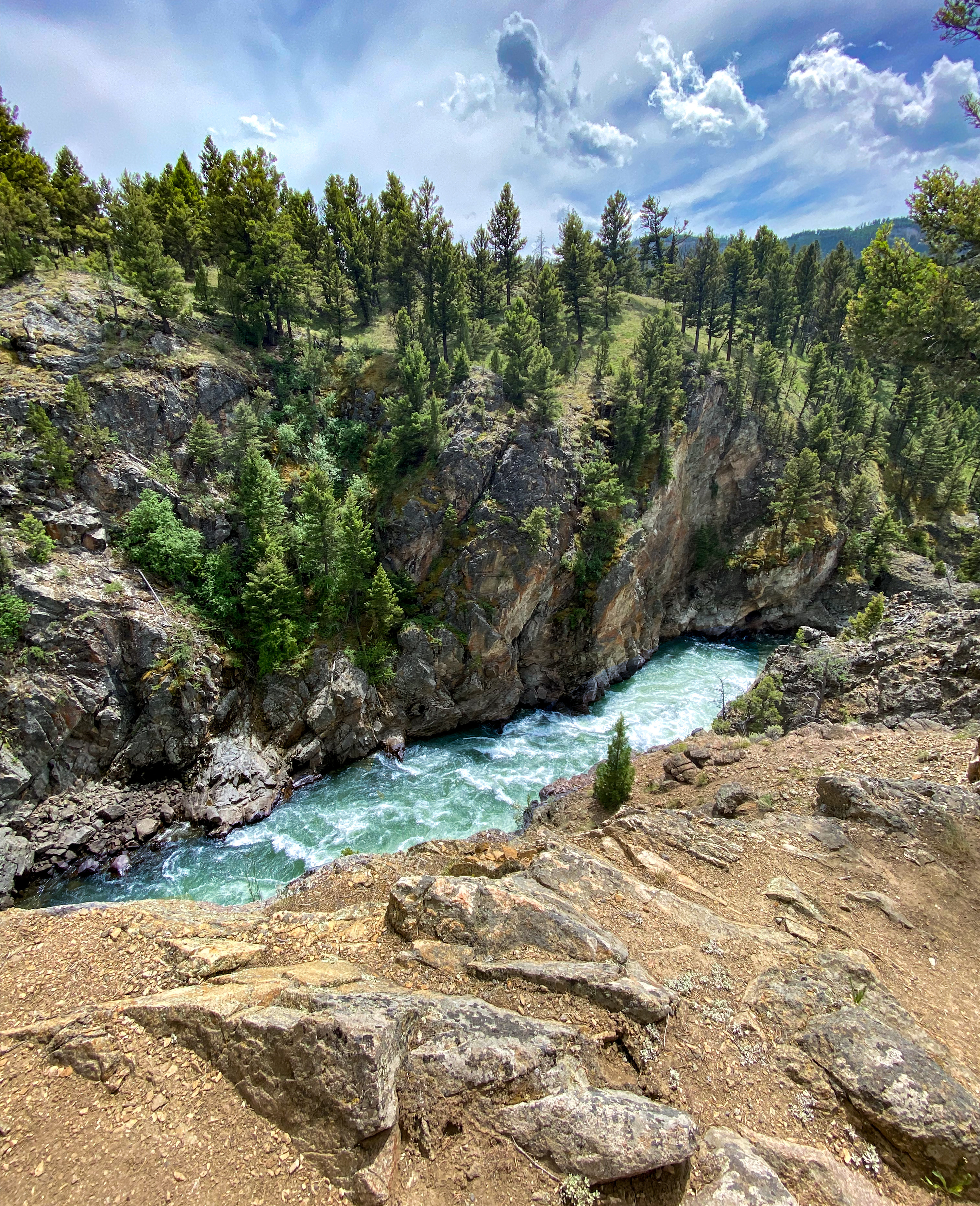
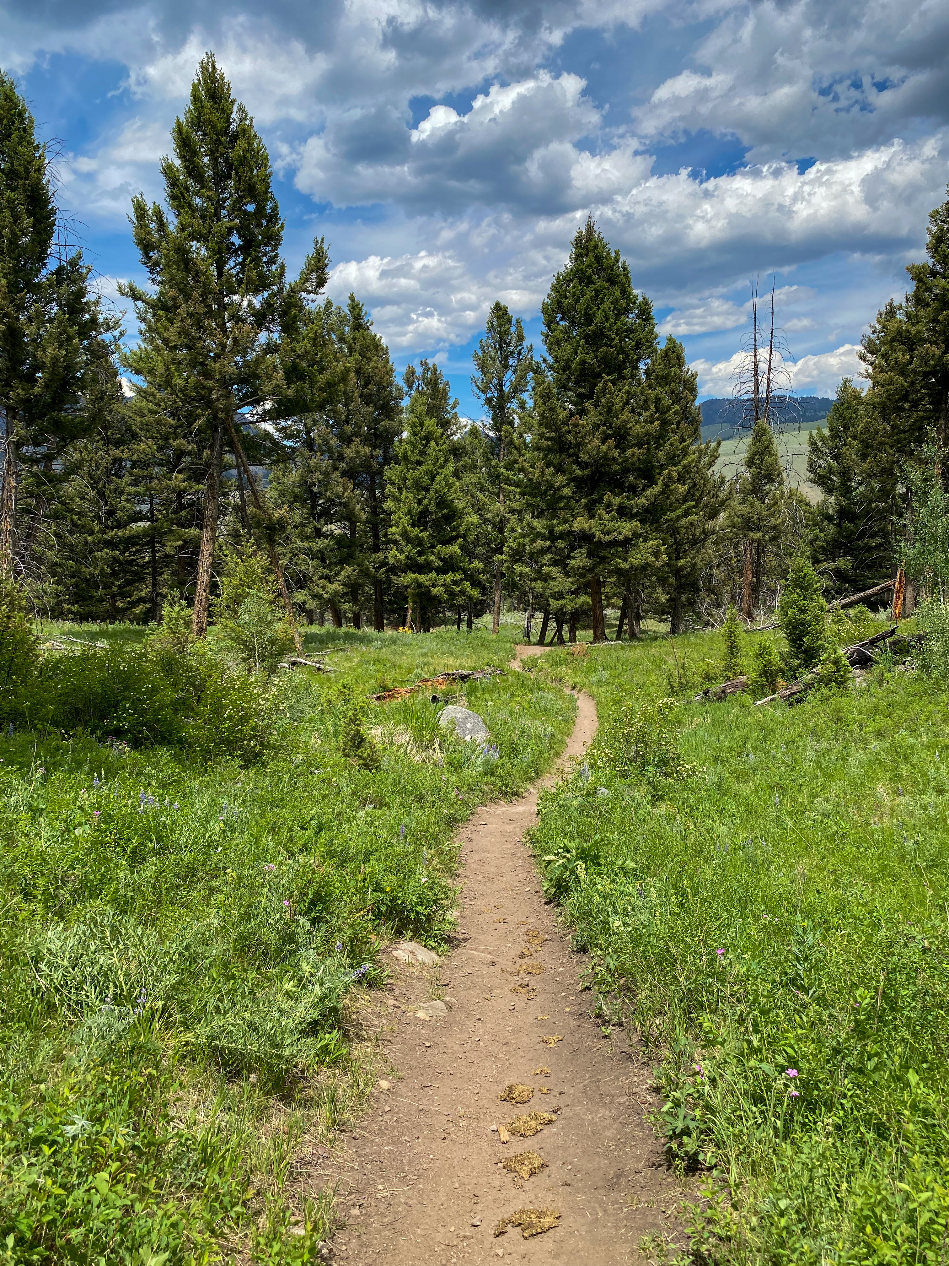
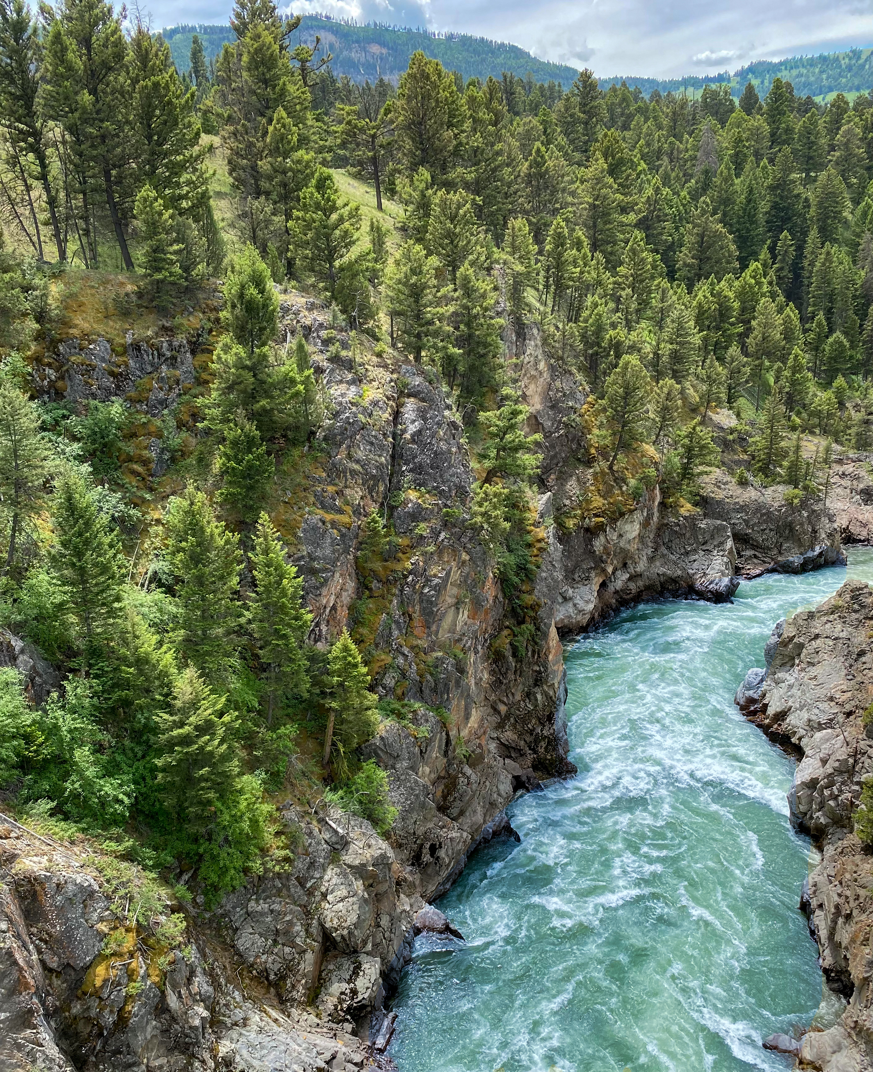
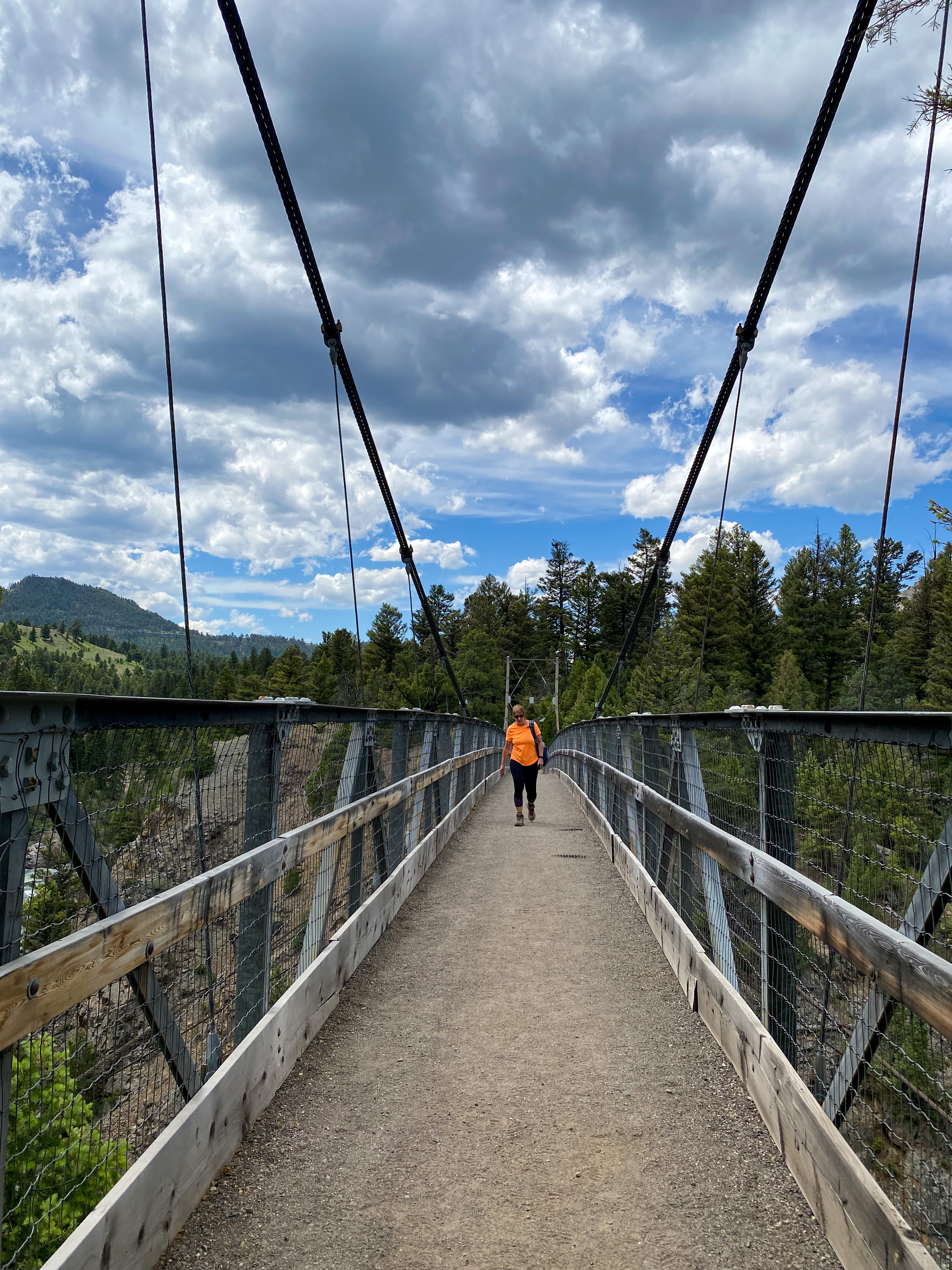
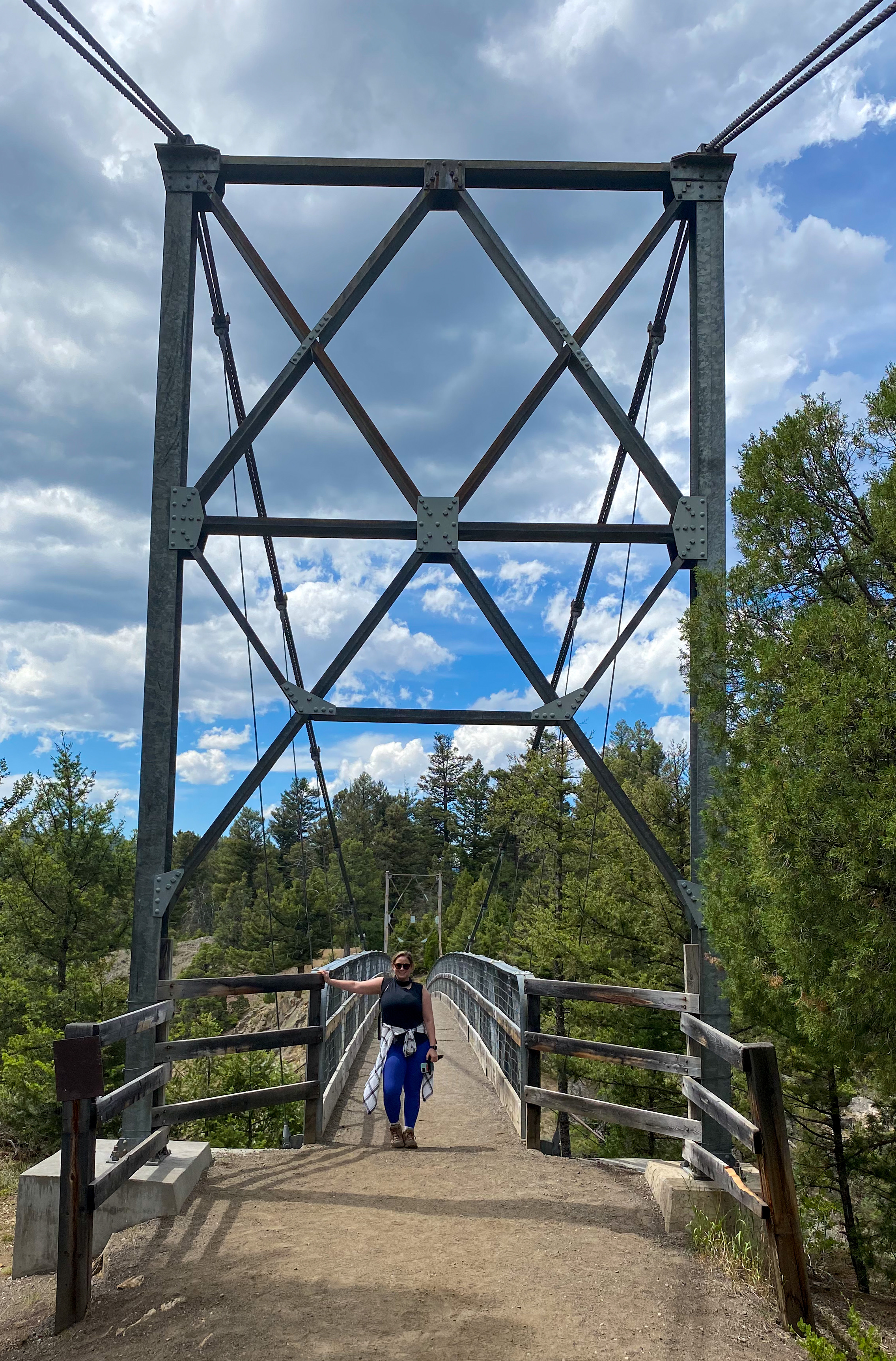
The rest of the afternoon was spent making our way out to Lamar Valley. We made a couple stops, admiring the plentiful waterfalls, spacious valleys, and even more wildlife! And we threw in another hike that cut down the side of a canyon to the Hellroaring Creek Suspension Bridge – a bridge only hikers can cross that passes over the Black Canyon and Hellroaring Creek winding underneath.
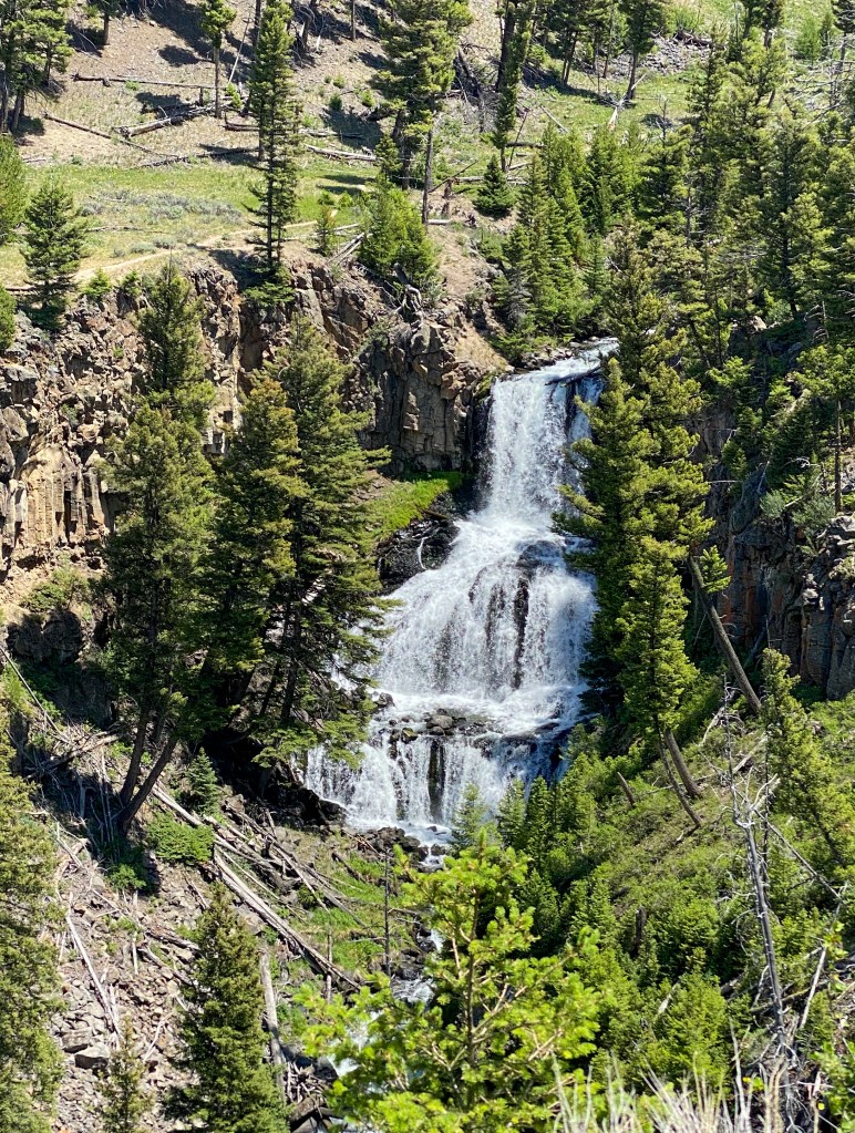
Undine Falls 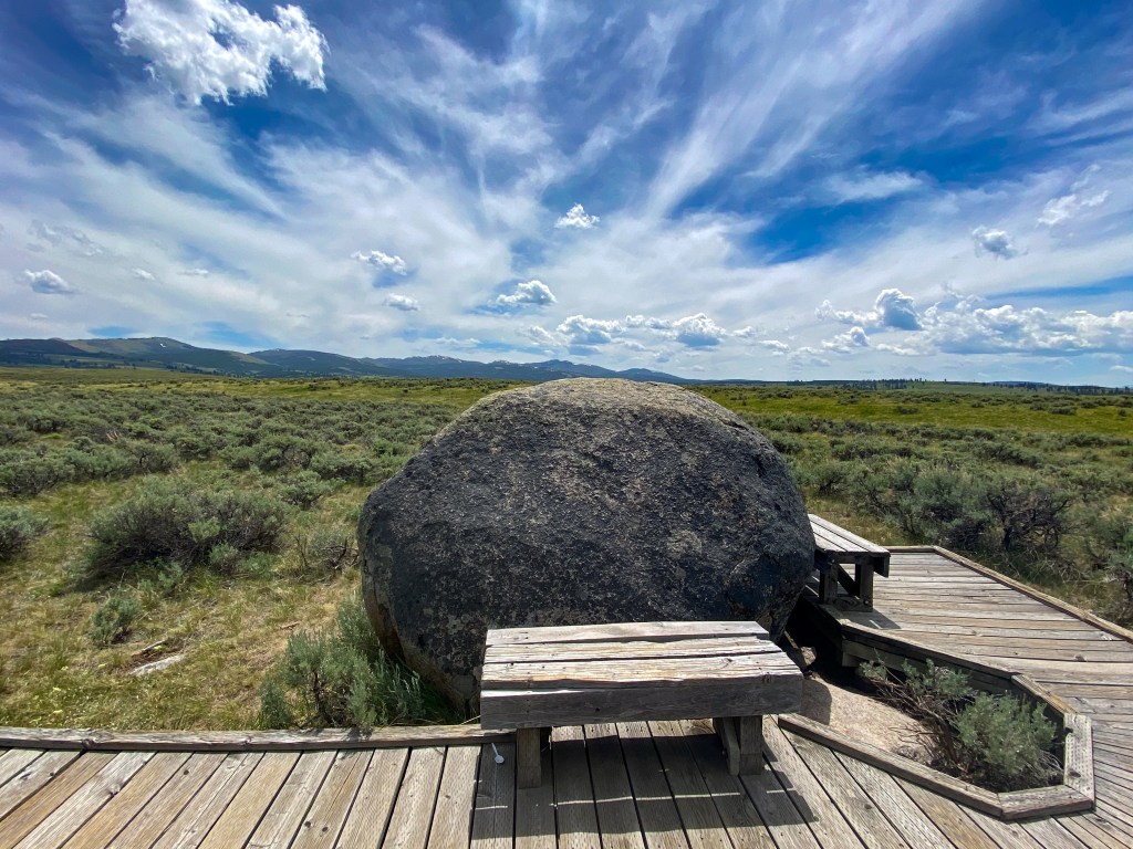
Forces of the Northern Range Trail – another glacial boulder 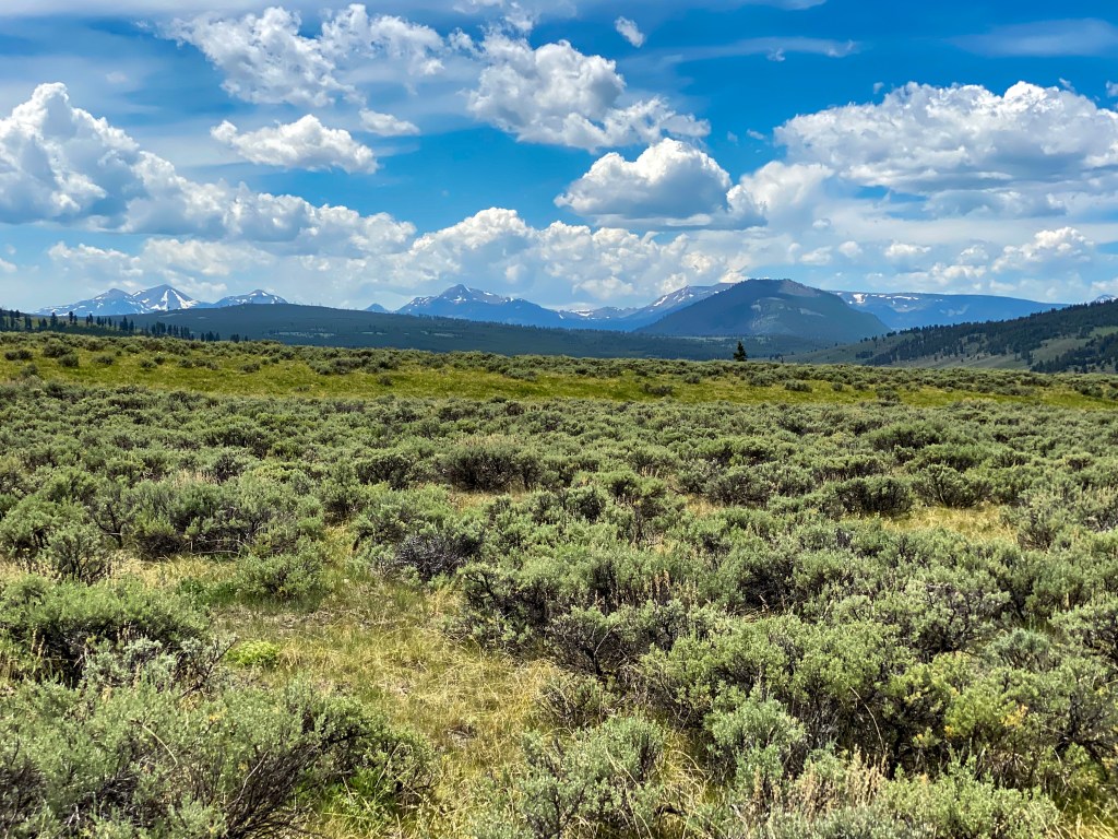
Forces of the Northern Range Trail – Mountain View: Bunsen Peak is the large darker one on the right; Antler Peak is in the middle; Trilobite Point, Mount Holmes, and Dome Mountain on the left
We made it to the beginnings of Lamar Valley, and already the wildlife was abundant. This river valley spans 40 miles and makes for some of the best viewing opportunities of all the animals Yellowstone has to offer. We were lucky enough to see antelope, open plains blanketed with Bison, Pronghorns, a bald eagle, two mountain goats, a black bear mama and her two baby cubs, and yet another buffalo traffic jam. By the end of this day, I think we had seen enough buffalo to last us a lifetime. Scroll though to see all the animals we saw!
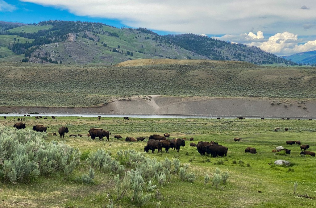
Herd of buffalo 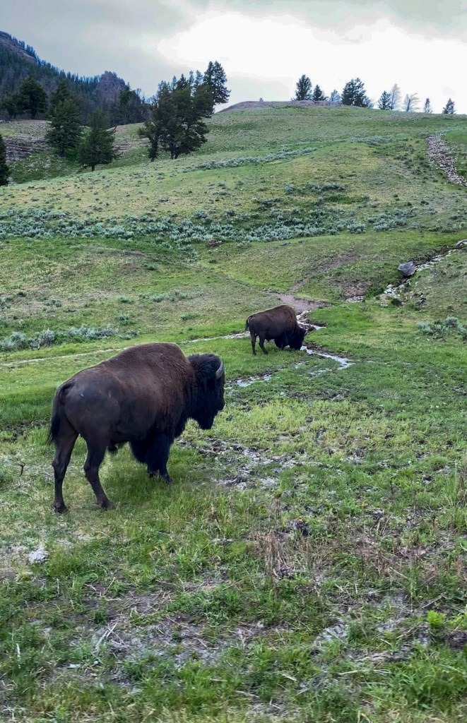
Grazing buffalo 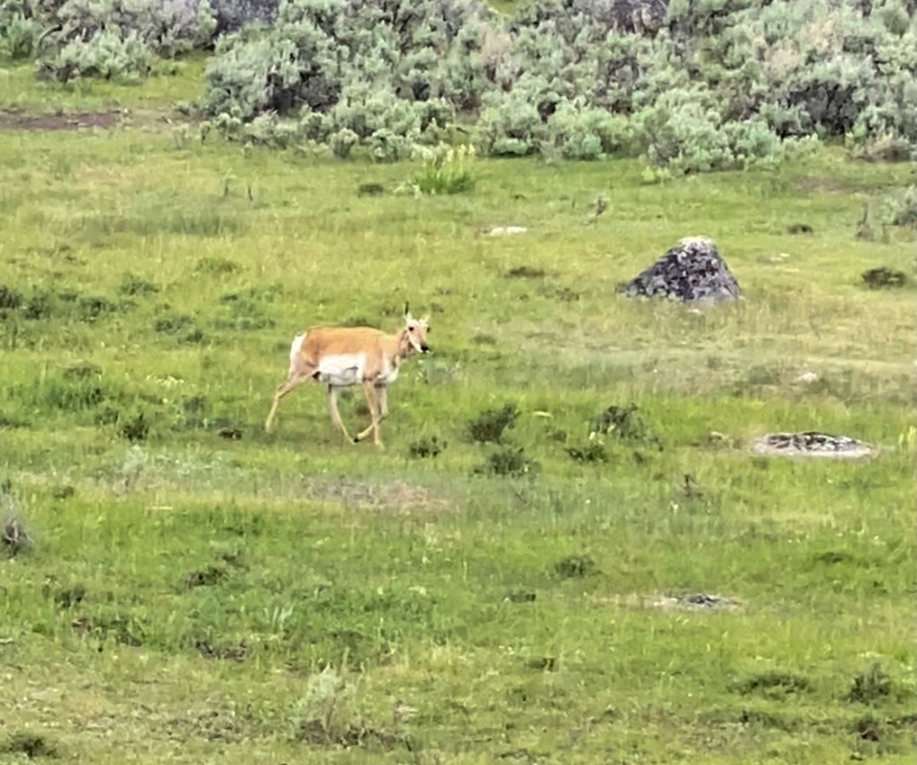
Antelope 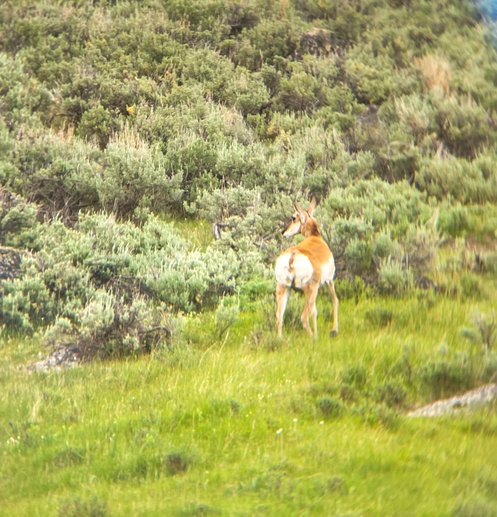
Antelope 
Black Mama bear & cubs 
Don’t mind the quality – it was so far away 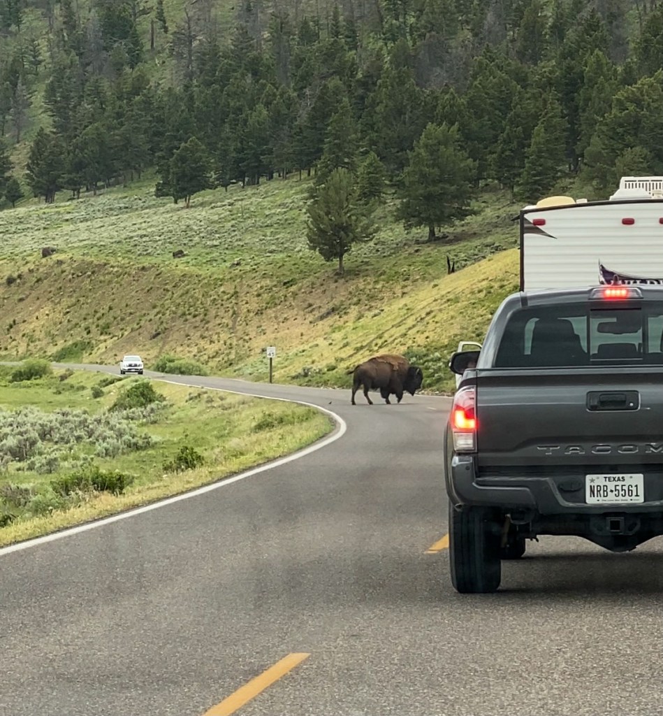
Buffalo traffic jam 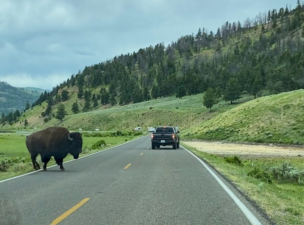
Buffalo traffic jam 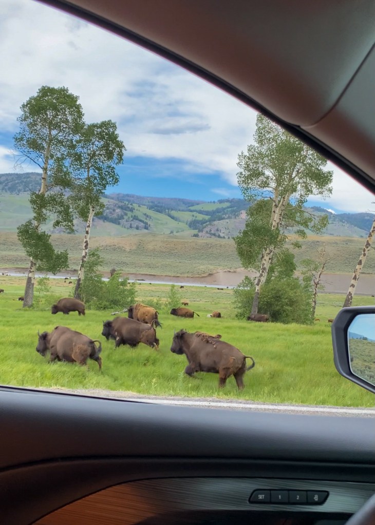
Herd got scared and ran away 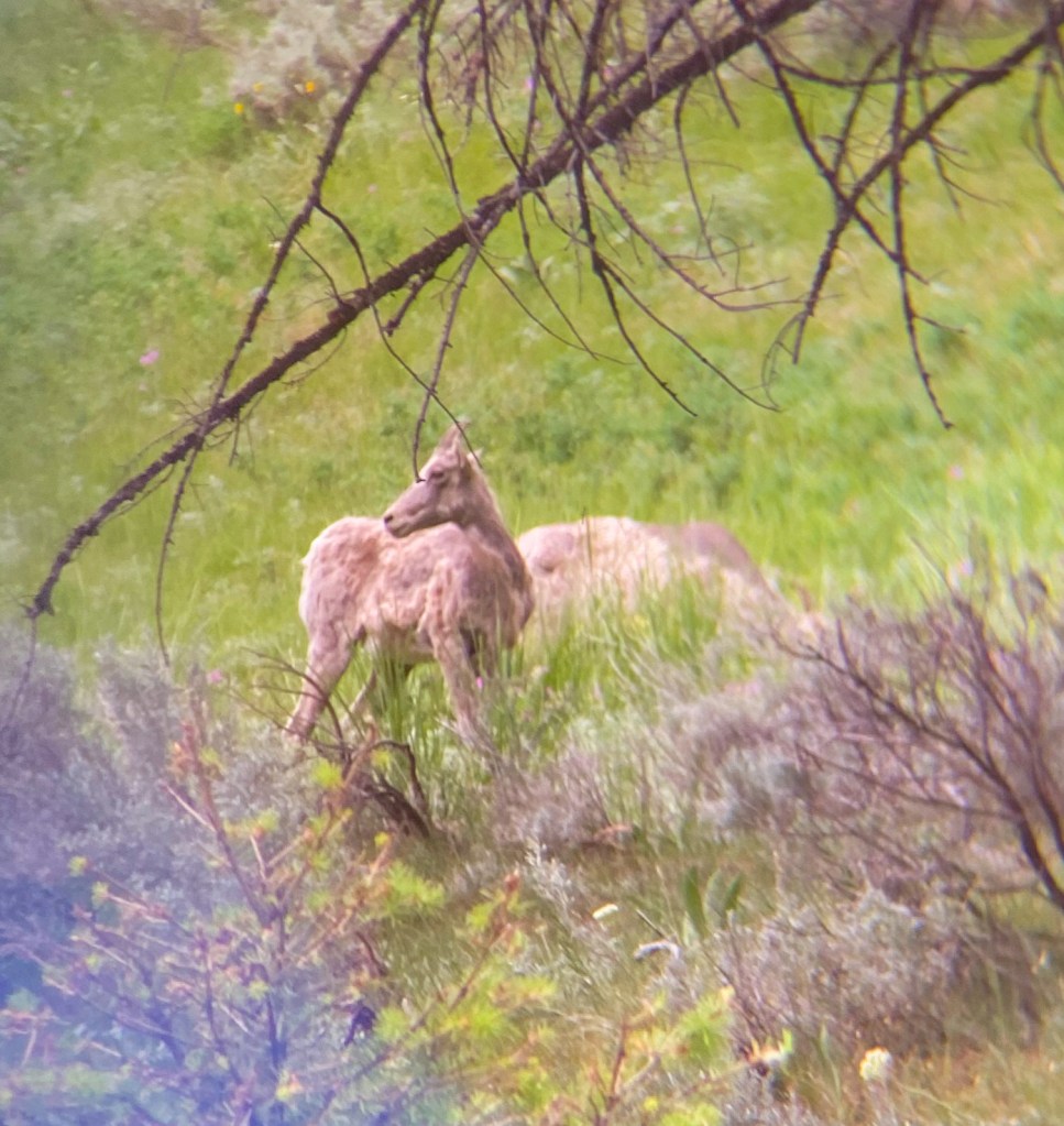
Mountain goats 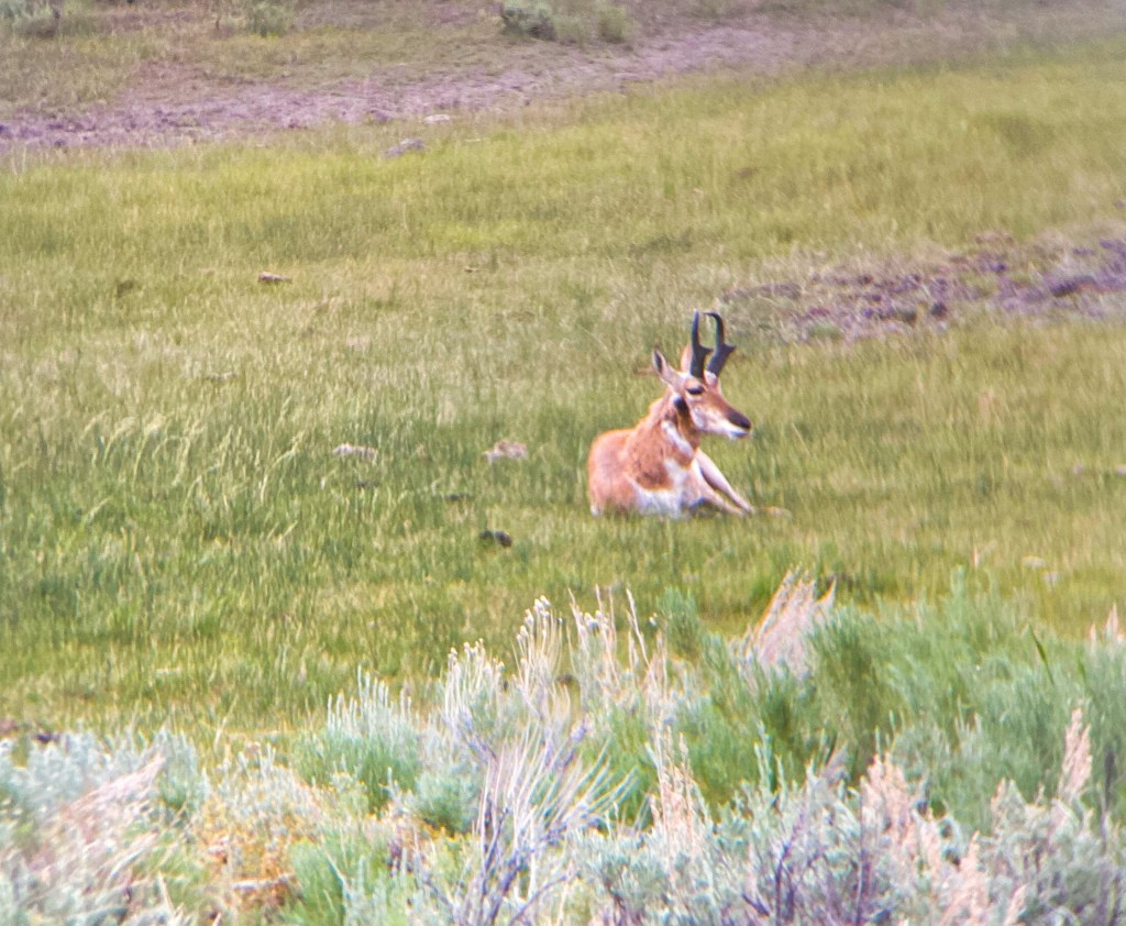
Pronghorn 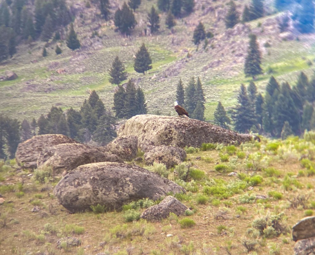
Bald Eagle 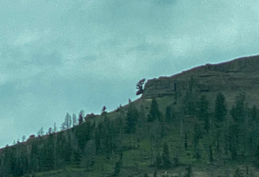
“Moose Tree” – the tree at the top of the mountain looks like a side profile of a moose head 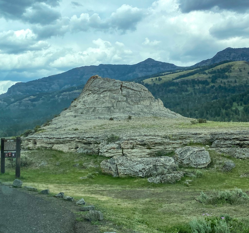
Soda Butte – not wildlife but in Lamar Valley
As we made our way back to the hotel, we said goodbye to Yellowstone and the unique experience it provides and began preparing to head further north to our final destination, Glacier National Park.
MILES HIKED: 9.5 miles (Day Three) & 7.2 miles (Day Four)
STEP TAKEN: 23,555 (Day Three) & 18,267 (Day Four)
ANIMALS SEEN: SO MANY BUFFALO, black bears, bald eagle, antelope, pronghorn, mountain goats, elk, marmots


