Red Sands Hotel in Torrey, UT – 10/10 would stay again, especially when the spa is up and running again!
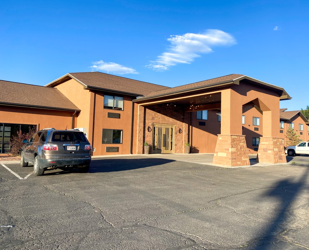
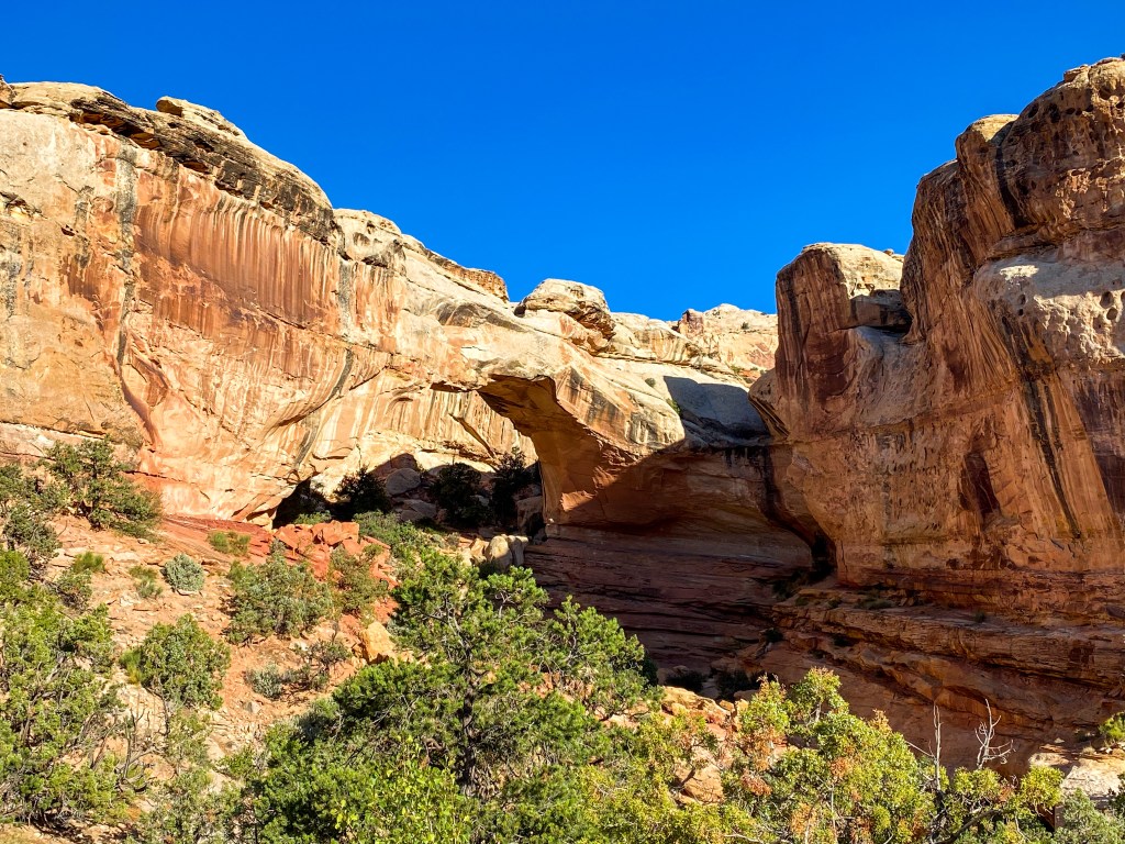
As we start the second week of our adventure, we say goodbye to Capitol Reef with one last hike! The Hickman Bridge trail is one of the most popular in Capitol Reef. It takes you to a beautiful 133 ft long natural bridge and through Capitol Reef’s diverse natural history along the way.
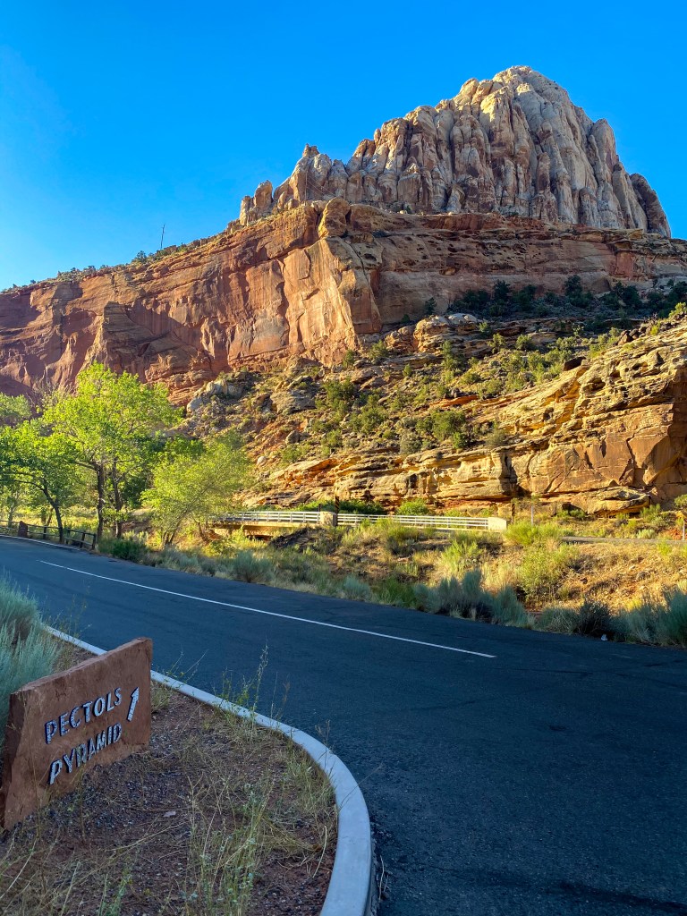
The first thing we see is actually in the parking lot – another one of the major geologic features of the park: Pectols Pyramid!
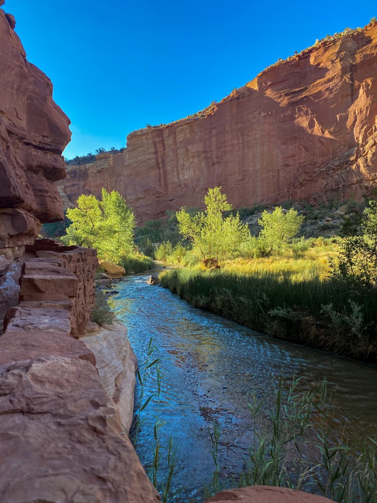
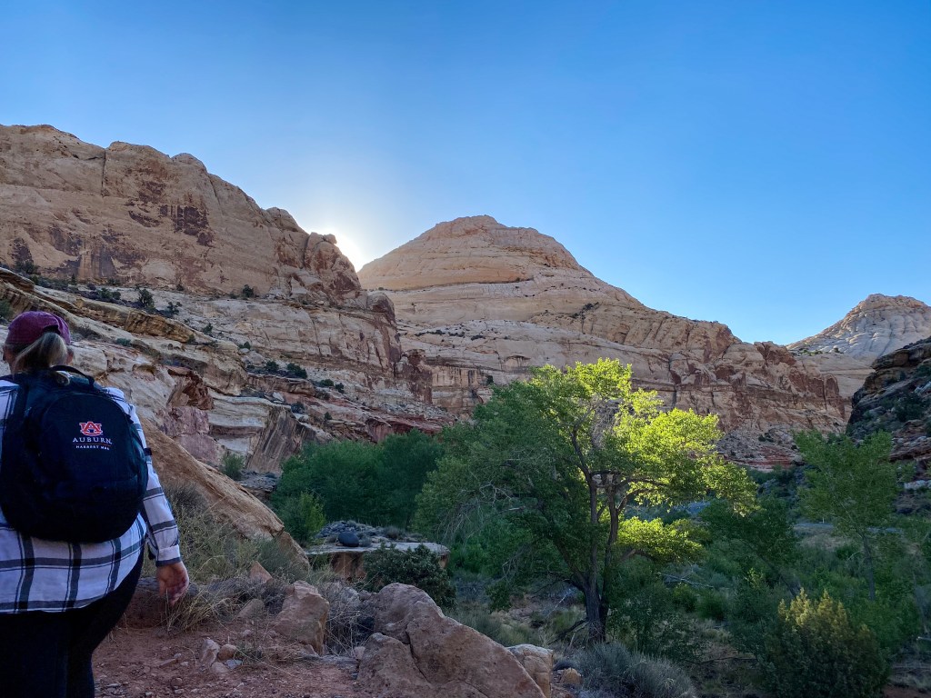
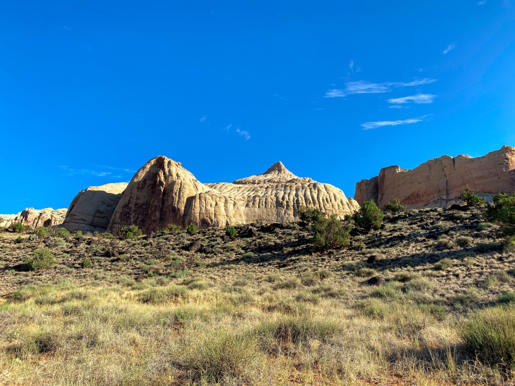
The actual hike starts by following the Fremont River toward Capitol Dome, which resembles the Capitol building in Washington, DC and how Capitol Reef got the first half of its name.
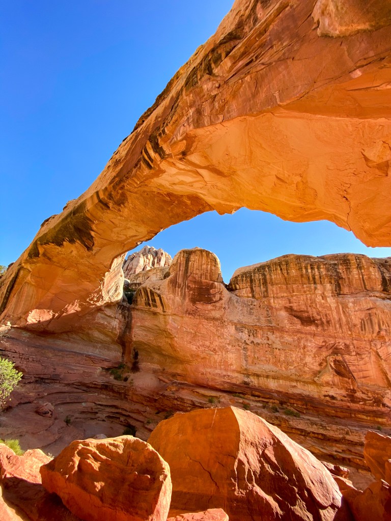
The bridge finally comes into sight, and it’s an amazing thing to behold! The story behind its formation is incredible, too. The bridge is firm sandstone, while the trail is red shale, crumbling easily. Water would course down the sandstone fin and erode the soft shale underneath until it finally broke through, creating the 125 ft space underneath the bridge!
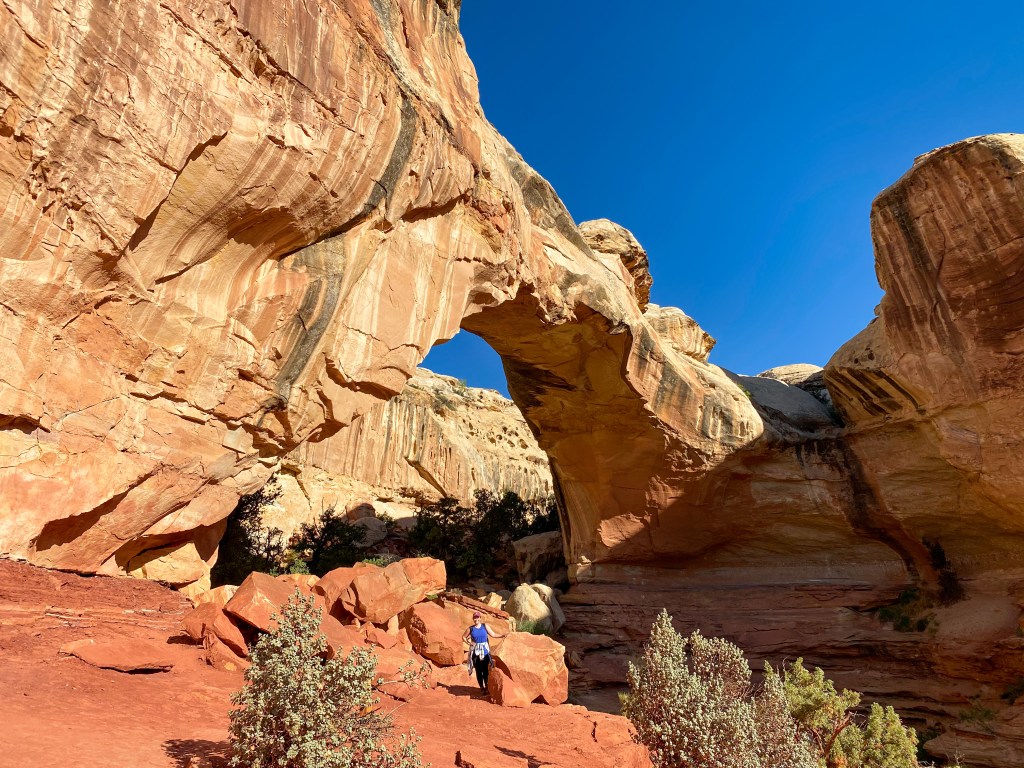
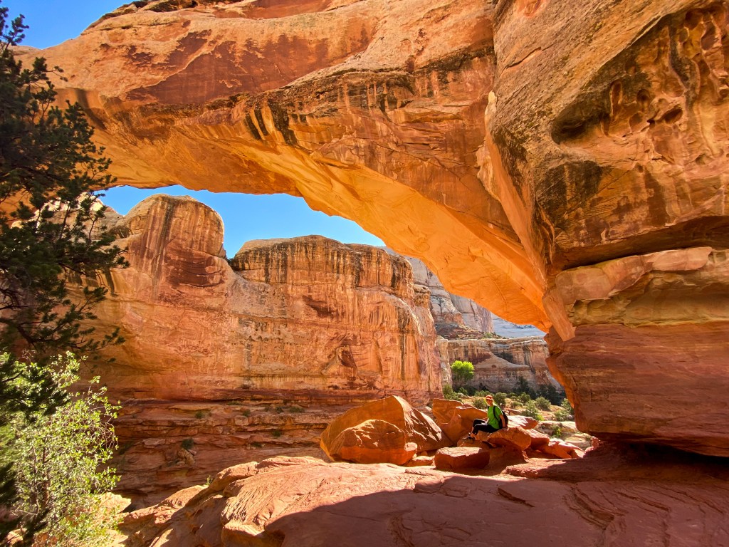
Find the Jill! 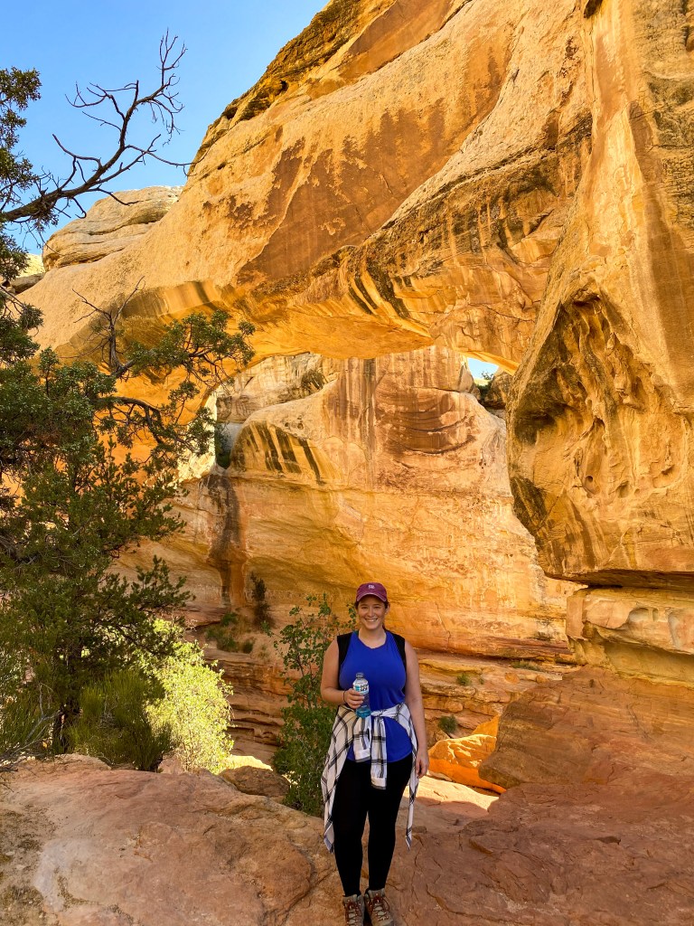
Stopped for a celebratory Powerade 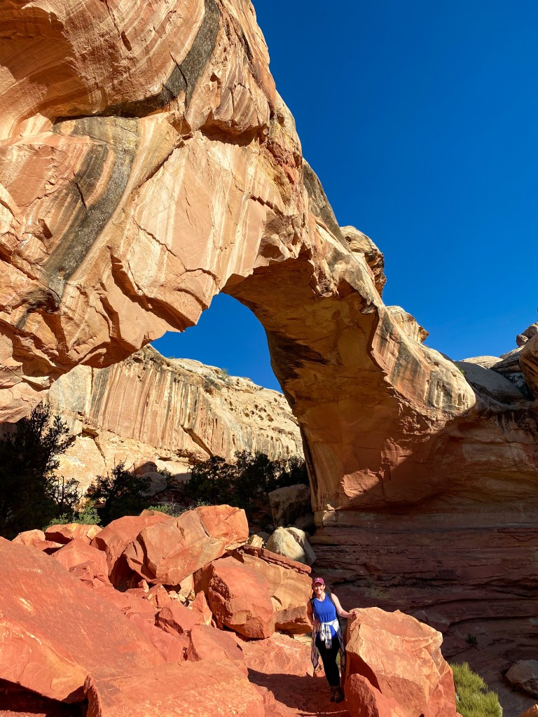
The bridge is truly unbelievable
On our way back from the bridge, we decided to have some fun with the rocks and holes we found along the way.
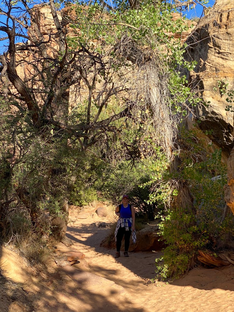
Walking through a wash on the way back 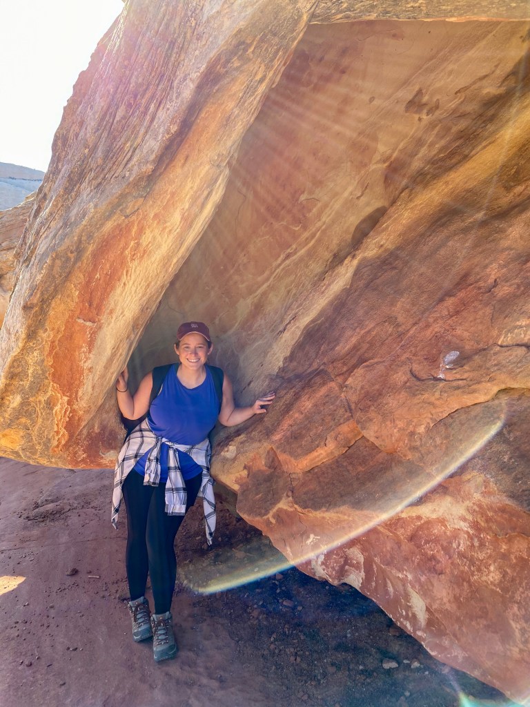
Got to find shade wherever you can! 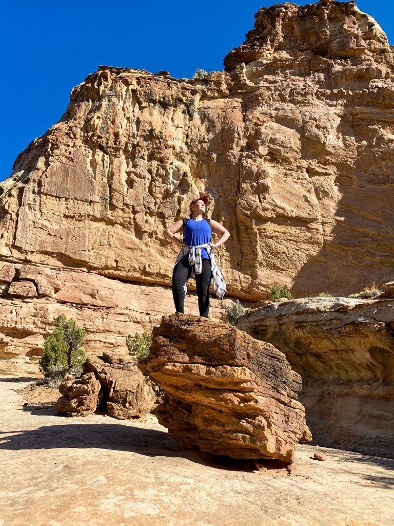
Mulan moment: “I am Yao, king of the rock!” 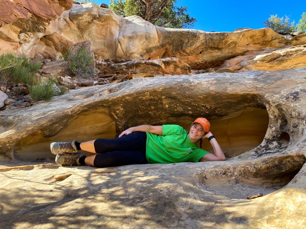
Just taking a relaxing nap in this hole in the rock
When we got back to the car, it was time to get back on the road and head down Utah’s Scenic Byway 12. This 124-mile road is an experience unto itself. Not only are there national parks, state parks, viewpoints, and national forests along the way, the actual road itself at times is part of the experience. The road begins in Capitol Reef and Torrey, UT.
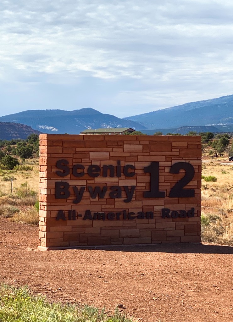
The first part of the journey is through Boulder Mountain, as we climb to over 9,000 ft in elevation, winding through the Dixie National Forest.
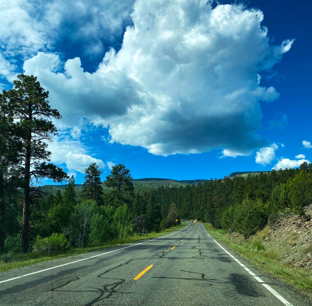
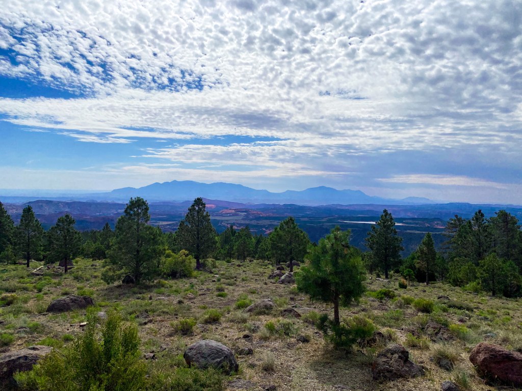
The first lookout point is Larb Hollow Overlook. As we pull over to the side of the road, we are rewarded with an amazing view of the Henry Mountains in the distance. This region we’re viewing is so remote, it was the last to be surveyed and mapped in the United States!
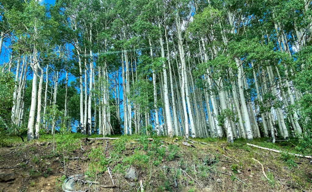
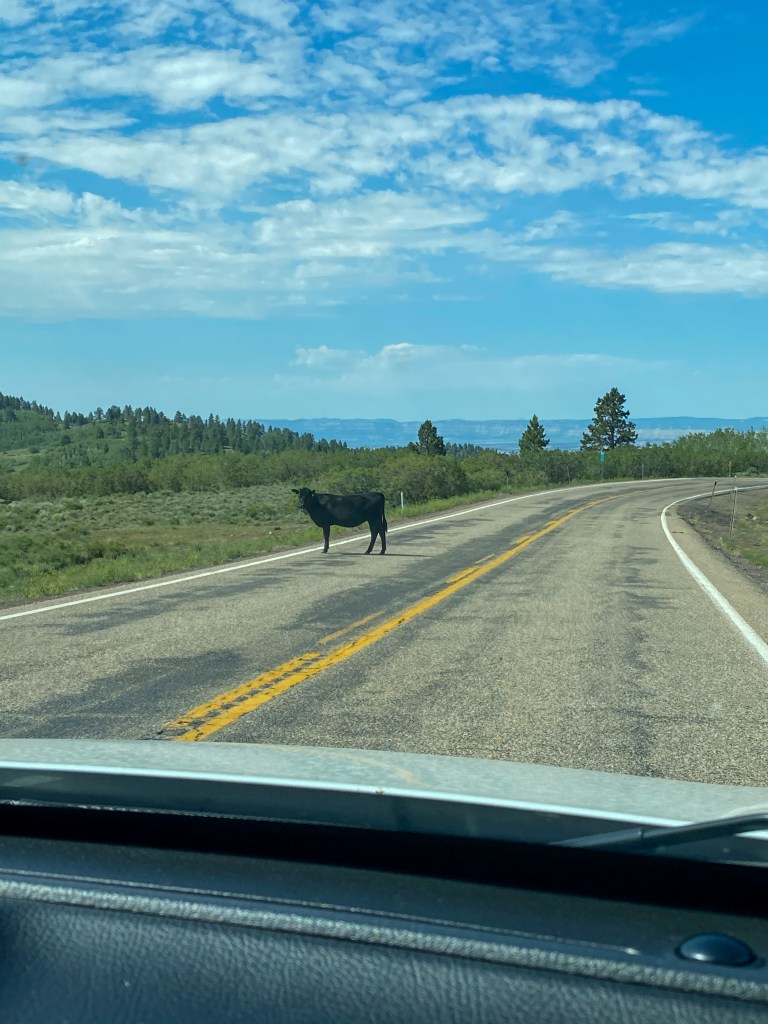
On our way to the next pullover, we see a change in scenery. We go from towering pines to these beautiful white-barked Aspens. Also, up here on the mountain, the cows are all free range, so you will be seeing some close up shots of our adorable uddered friends walking down the road. You’ve been warned.
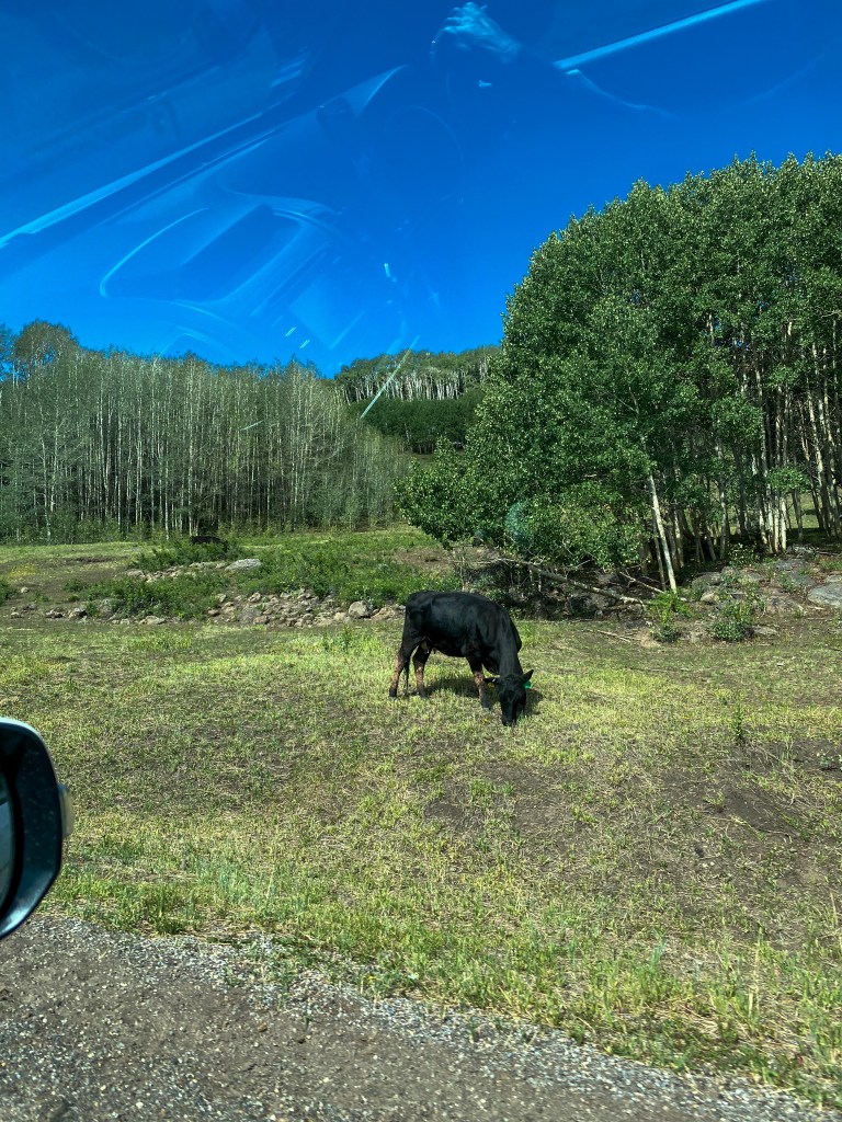
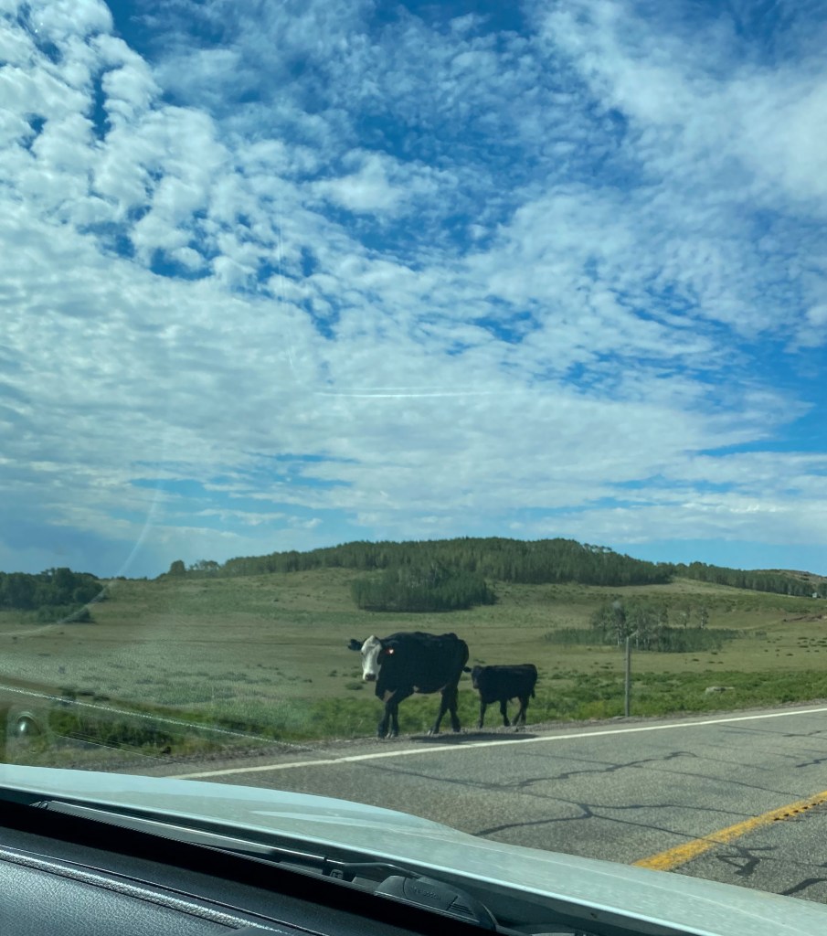
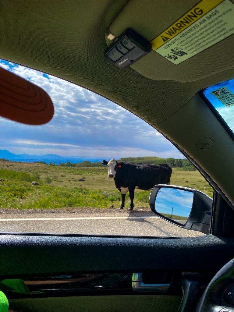
Hey Mama! 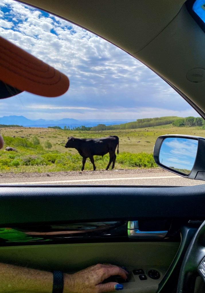
Better catch up little one!
Homestead Overlook is the next stop, providing us with views from a 9,400 ft vantage point. From here, we can see the Henry Mountains and the Little Rocky Mountains to the left, and the Kaiparowits Plateau and the town of Boulder to the right.
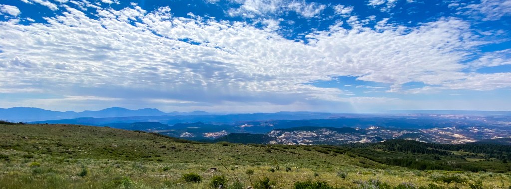
More cows!
Within the town of Boulder, we visited the Anasazi State Park Museum, located on the site of an Ancestral Puebloan habitation that archeologists believe was occupied between AD 1050 and 1175. The site remains partially excavated and reconstructed, consisting of over 100 rooms. The visitor center has a museum of all the excavated artifacts and tells the history of the site and its people.
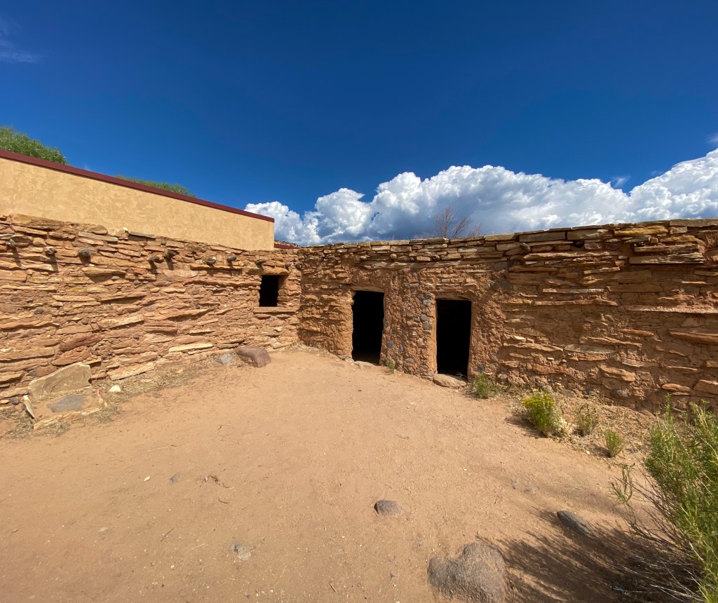
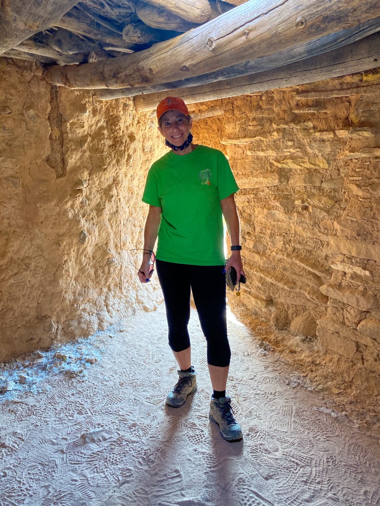
Jill is almost too tall for the pueblo! 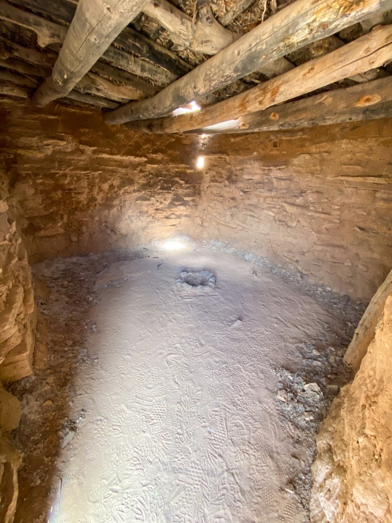
The little fire pit in the middle of the room means it was part of the living quarters
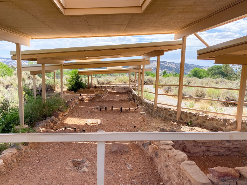
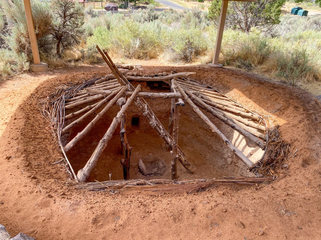
Pit houses were also used to provide more insulation 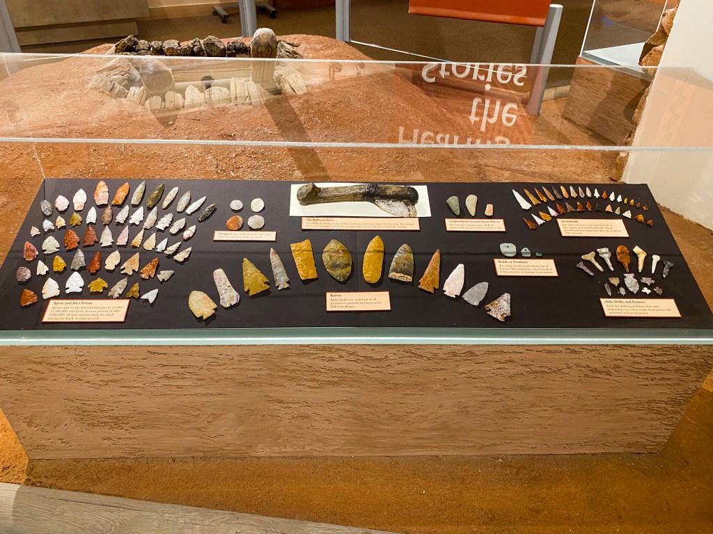
The different arrowheads and uses of these stones 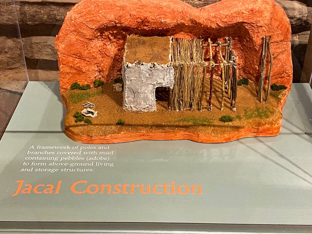
Jacal Construction 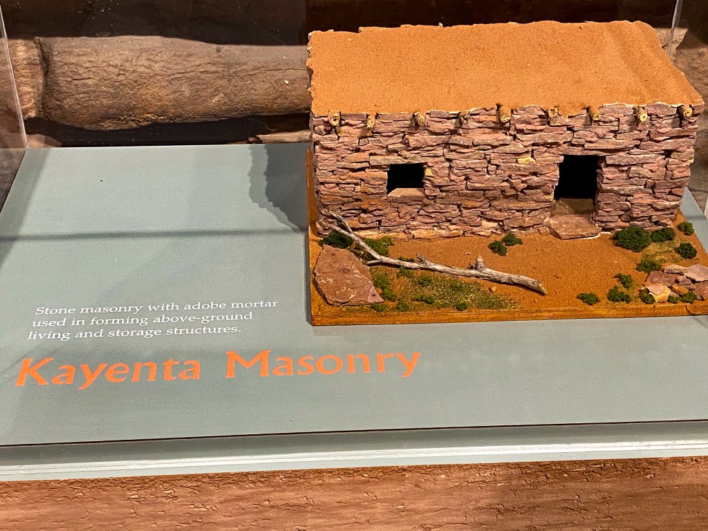
Kayenta Masonry 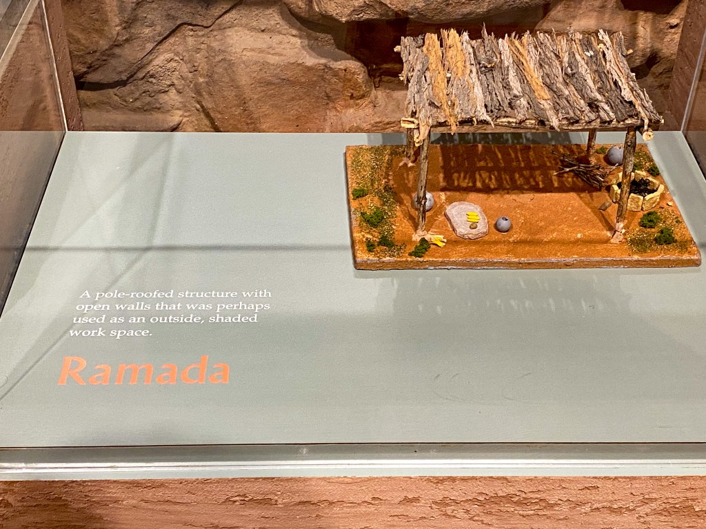
Ramada 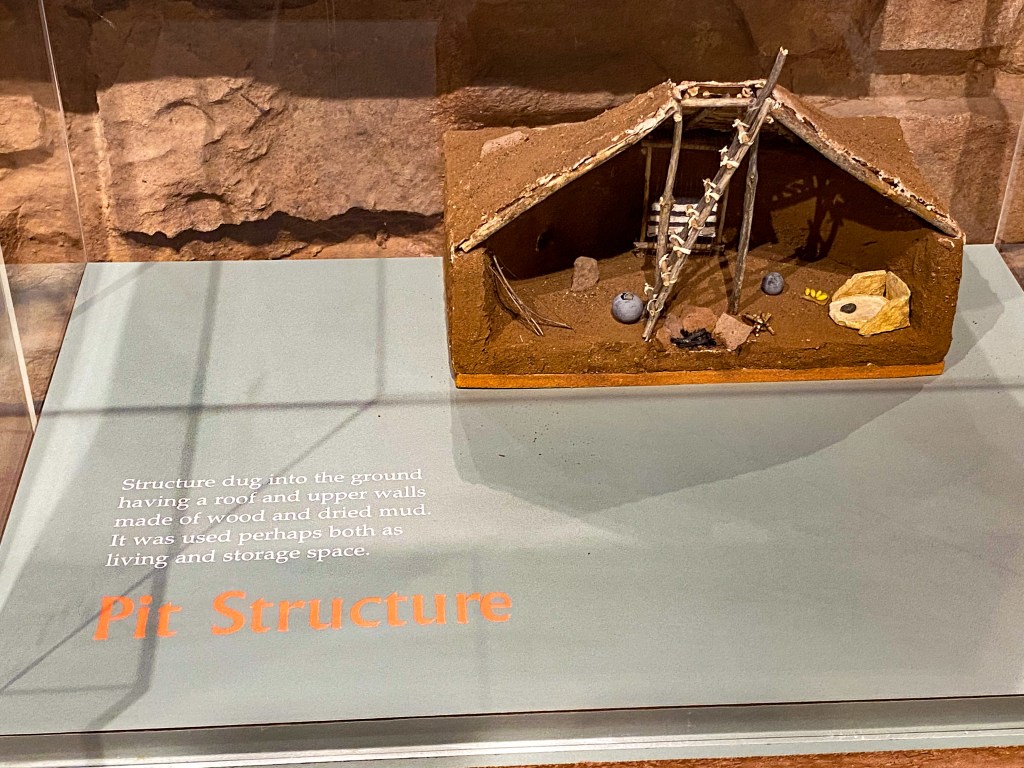
Pit Structure 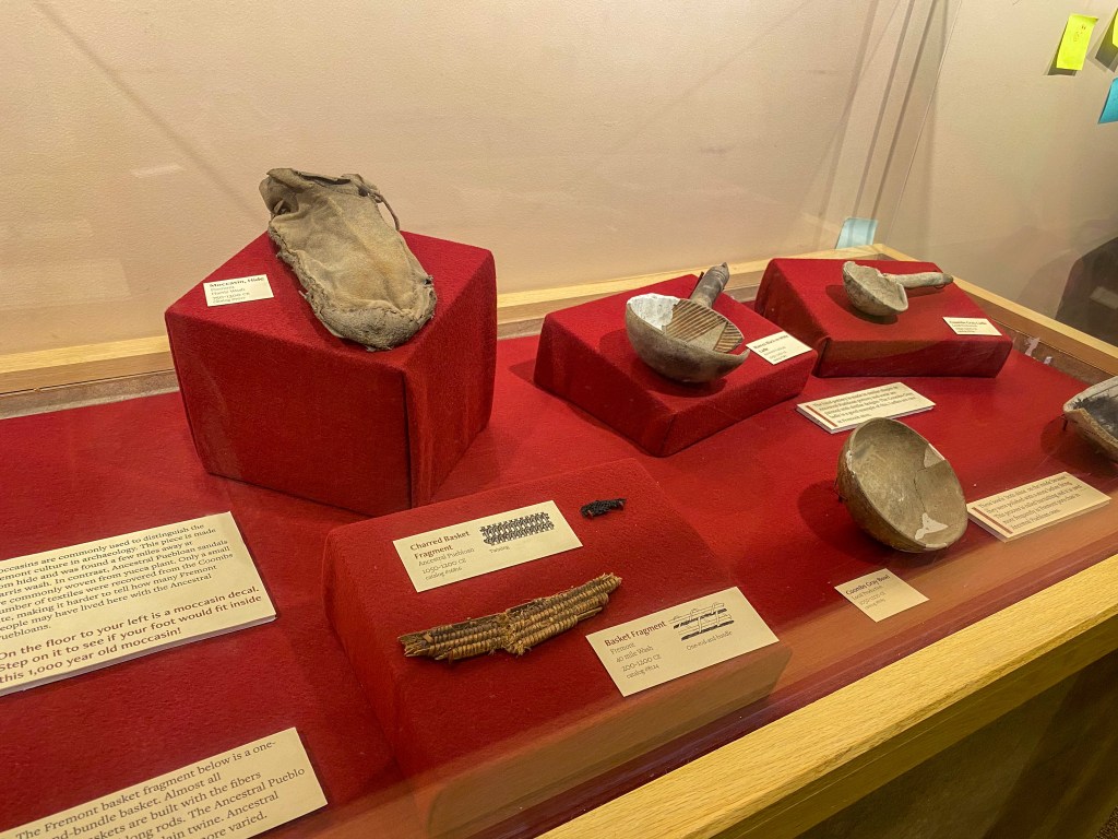
Artifacts excavated from the site outside 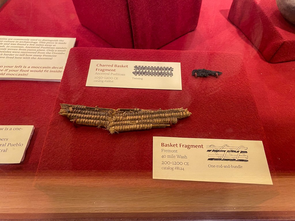
Fragments of baskets 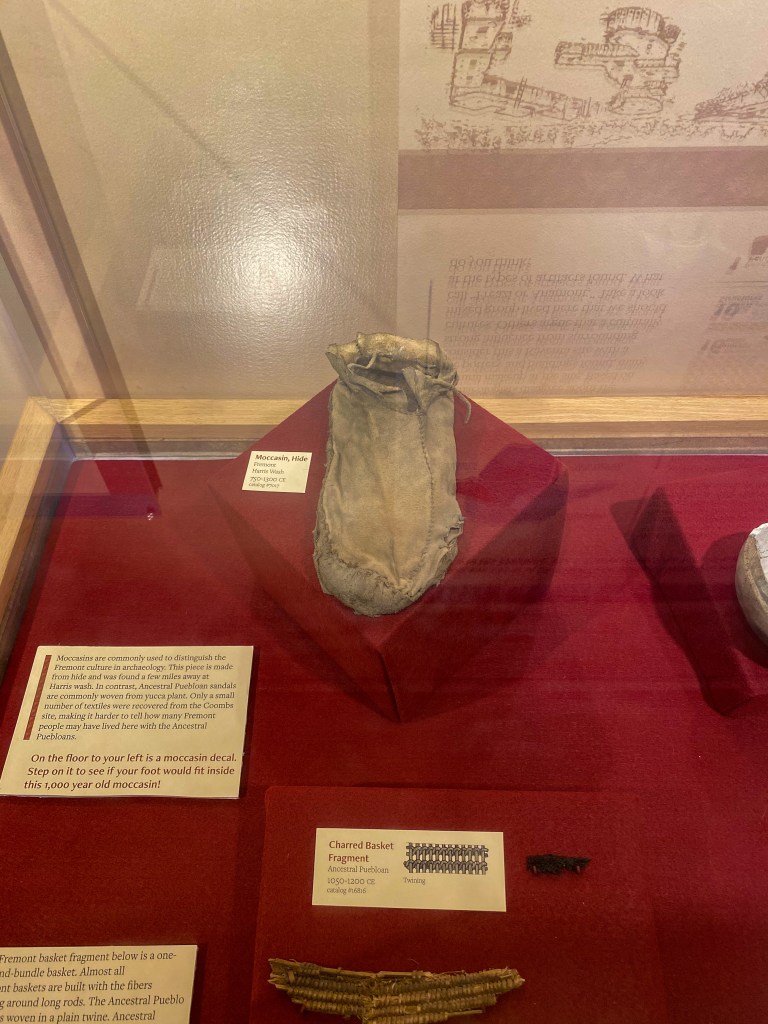
Moccasin from the Fremont people 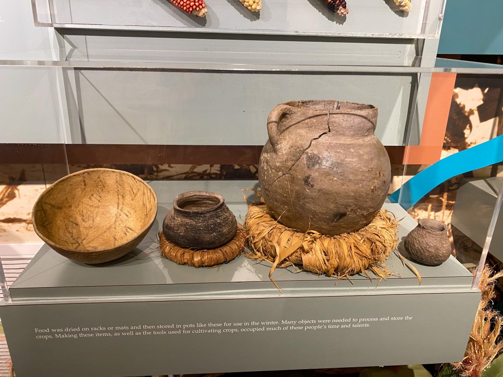
Pottery used for food storage 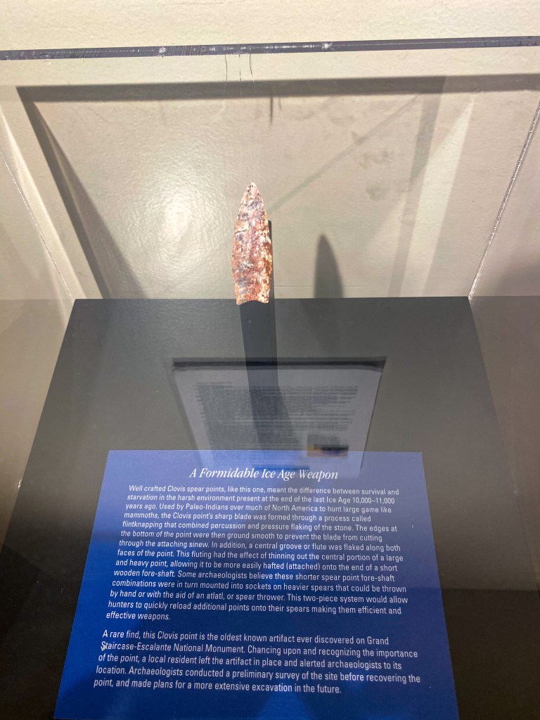
Oldest known artifact found in the Grand Staircase Escalante National Monument – Clovis spear point from the Ice Age
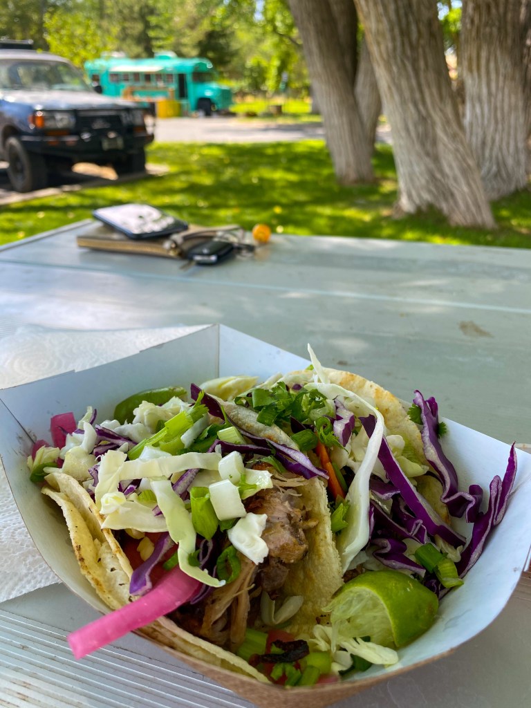
After walking through the museum, there was a food truck right outside – lunch time! The picnic tables next to the parking lot served as the perfect little spot to take in the mountain air and these yummy tacos!
On the way down the mountain, we passed through the town of Boulder (settled in 1894), as known as “the last frontier in Utah” – the settlement was so isolated that until 1935, mail was delivered by horseback and fresh milk (that often turned to butter) was delivered by mules to the nearby town of Escalante.
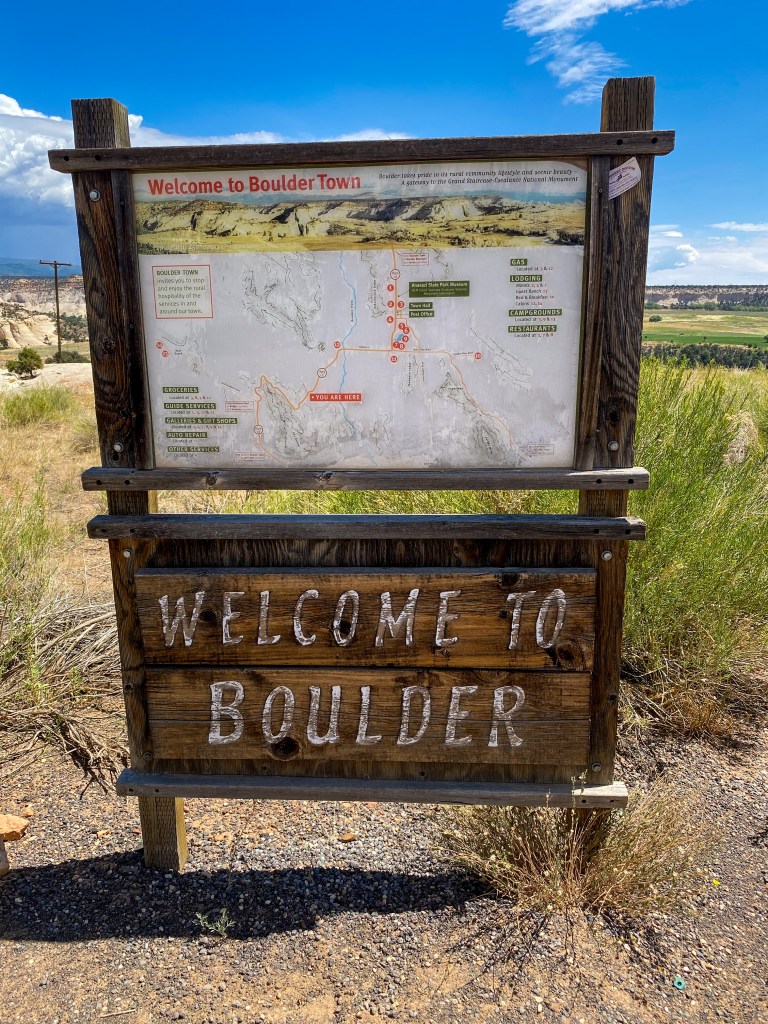
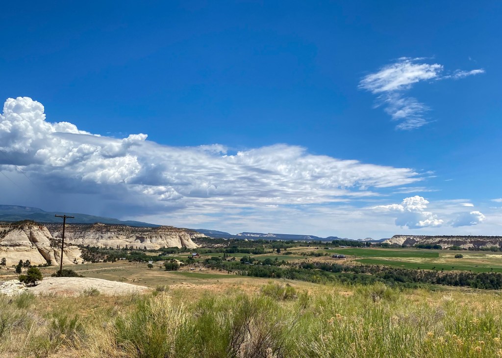
Town of Boulder is down there in the valley
After Boulder comes the internationally famous stretch of byway – The Hogsback. The funny thing about this stretch is that I read up on it beforehand, about how for 4 miles there’s steep drop-offs on both sides of the road with little to no shoulder and 14% grade. So both my mother and I were slightly nervous to drive this, but we were ready to take it slow and focus 100% on the road (she was driving; I took all the photos!).
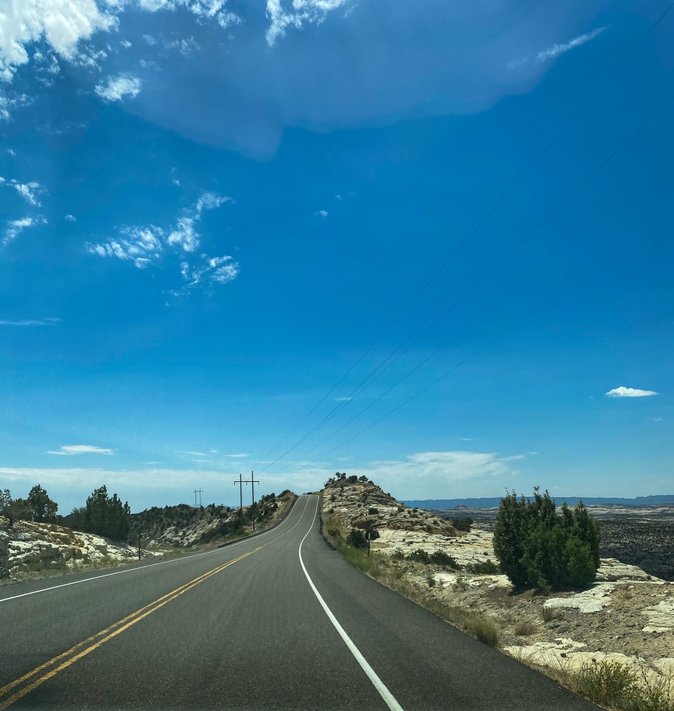
So it ended up being way less terrifying and pulse-raising than everyone said. There was definitely enough room, not to pull over per se but definitely enough to safely get across this ridge.
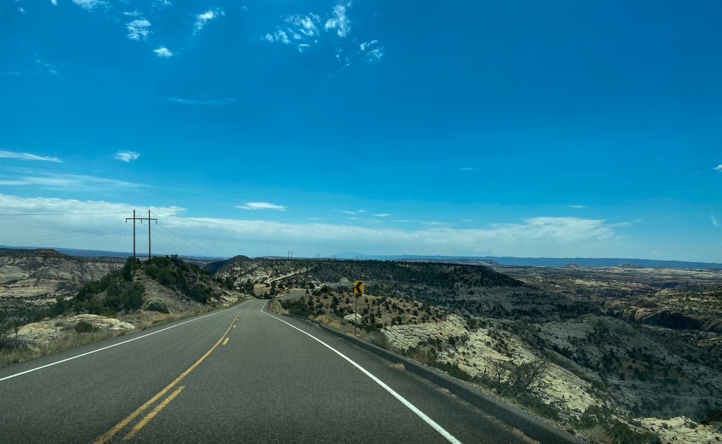
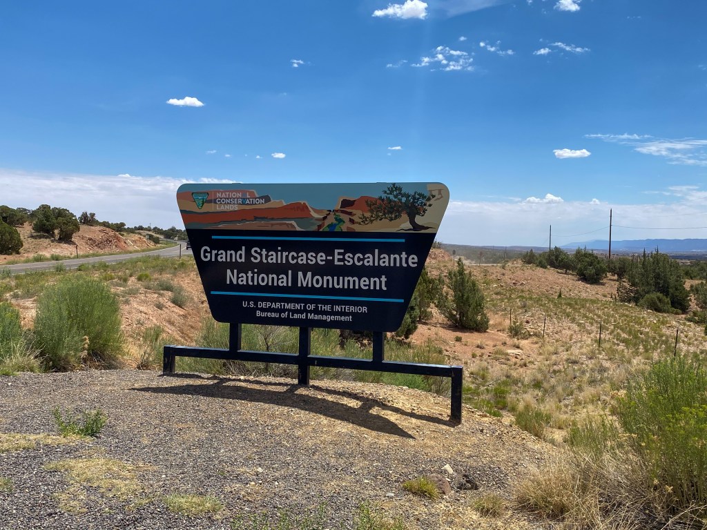
When we got across the tumultuous Hogsback, we start driving through the Grand Staircase – Escalante National Monument. The views are expansive and breathtaking. We were driving through the Escalante Canyons Unit, one of the three sections of the national monument.
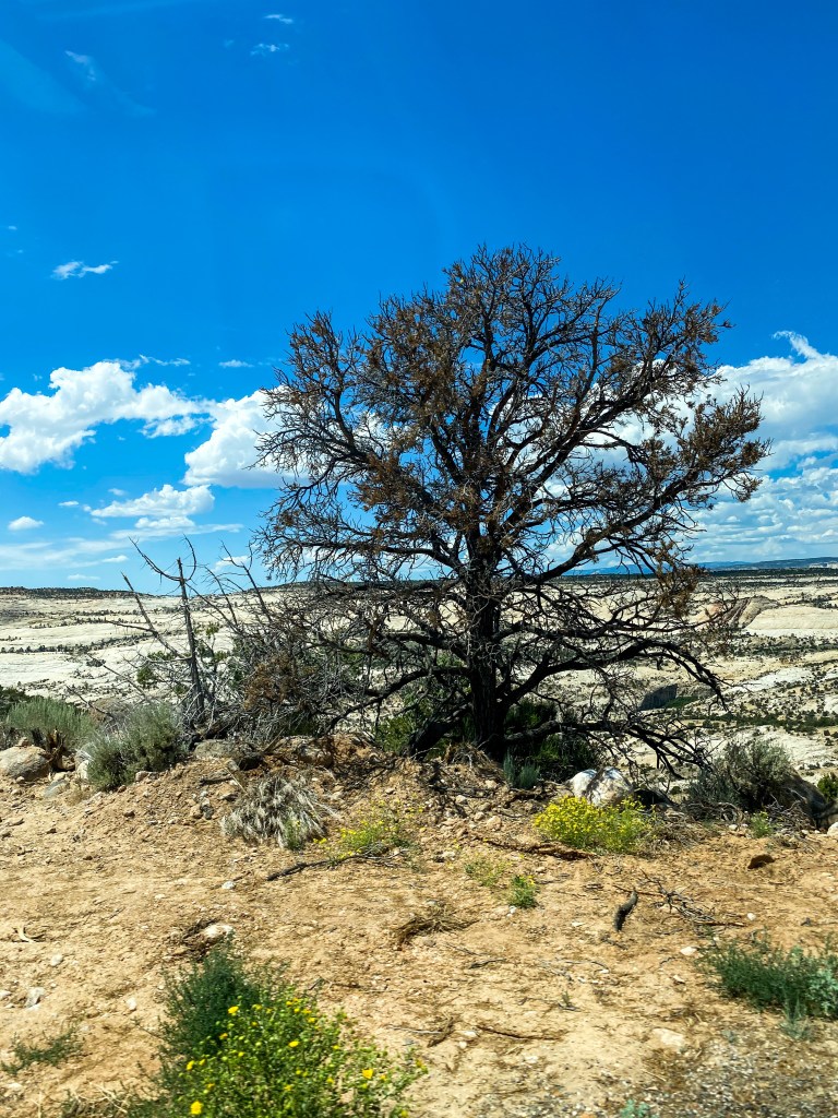
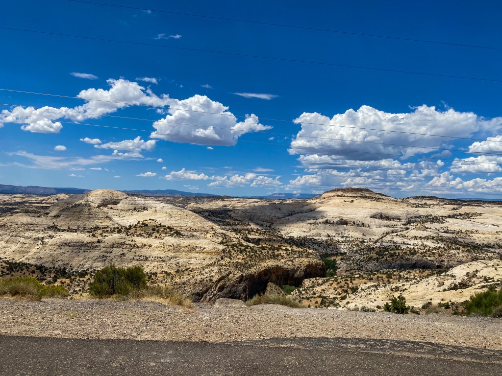
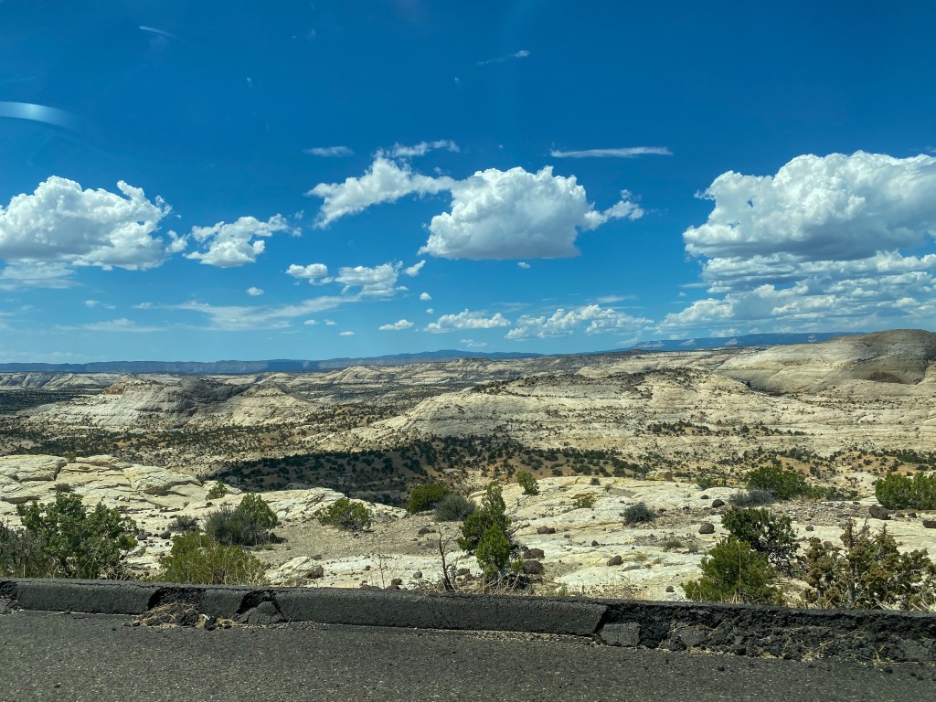
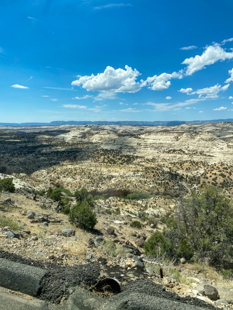
Boynton Overlook looks out over these canyons, as well as the twisting Escalante River (although you can’t really see it in this shot behind the trees).
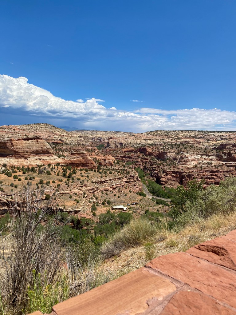
The Head of the Rocks Overlook gives us a grander look at the canyons, as well as those Henry Mountains again far off in the background.
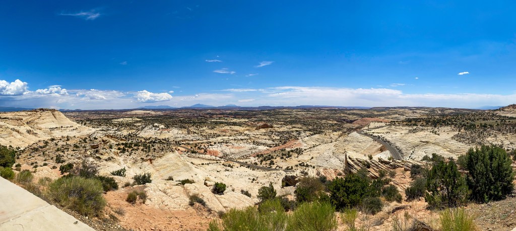
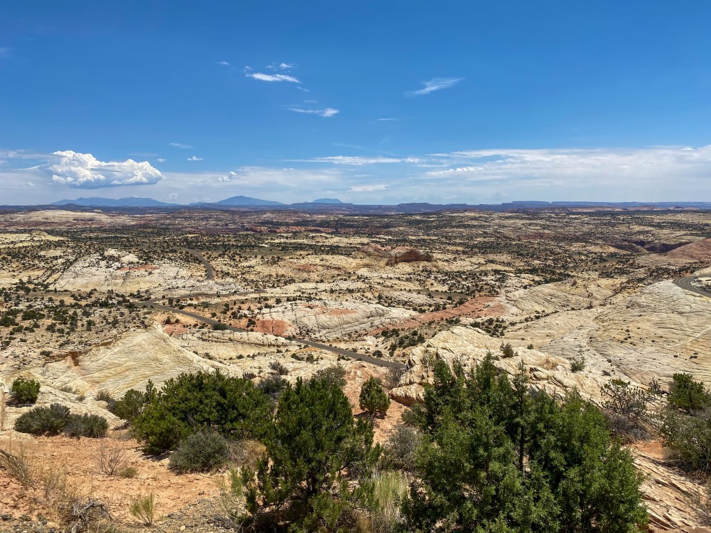
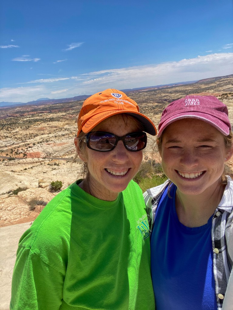
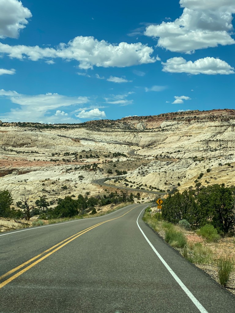
Fun fact about this road – the Civilian Conservation Corps (CCC) began building it in 1935. It took five years and a million dollars (which was A LOT back then), but they finally finished. Today, most of the pavement between Escalante and Boulder still rests on the original base that they put in place all those years ago.
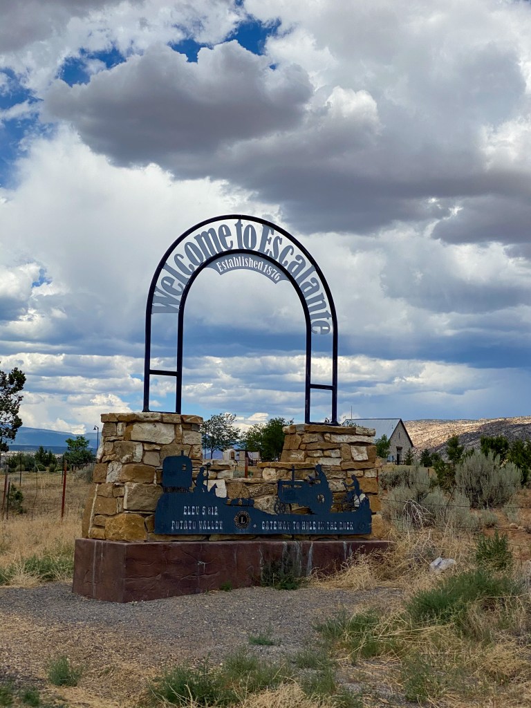
Speaking of Escalante, that was the next stop. We visited the outdoor museum “Hole-in-the-Rock” Heritage Center, telling the stories of the Mormon pioneers that made the long and treacherous expedition to settle the San Juan River region south of Escalante. What they thought would take six weeks took six months. The story is one of strength and courage. The below photos tell parts of the story – click on them to read more!
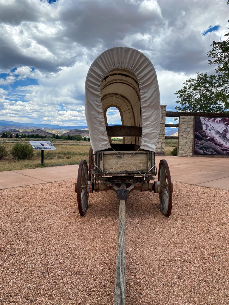
Model wagon the Mormon pioneers took on their expedition west 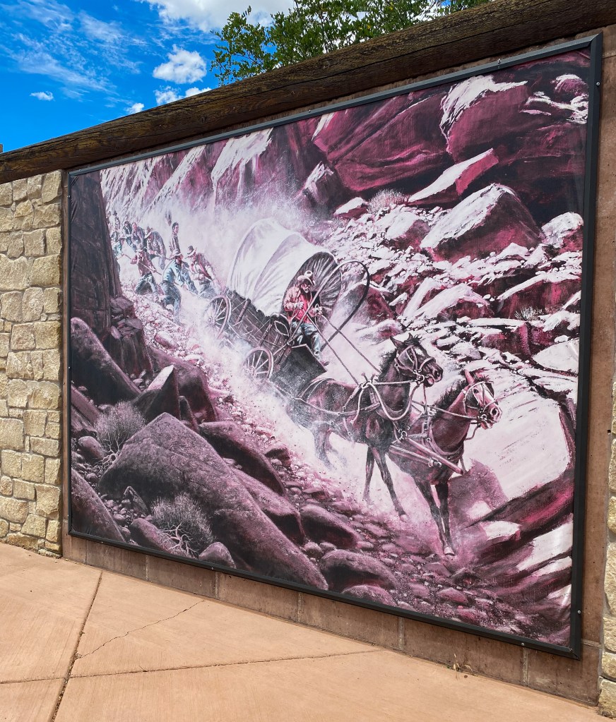
The Longest Mile Mural 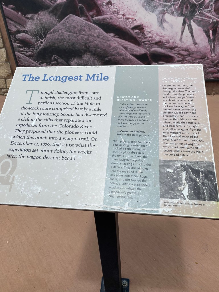
Click to read 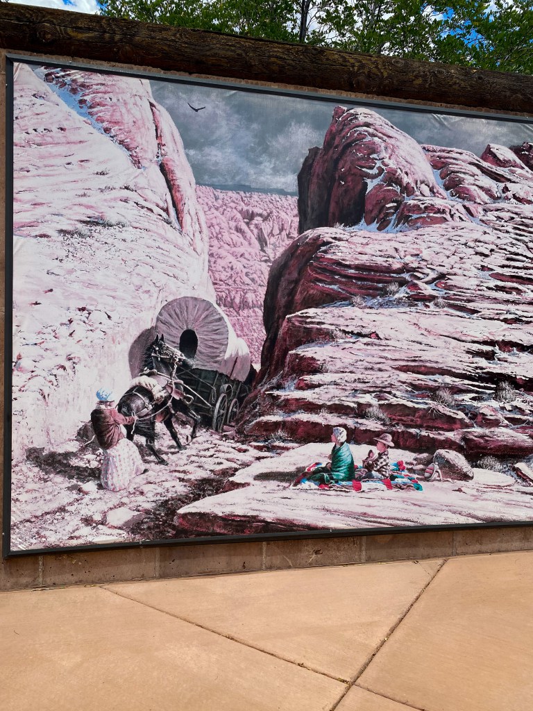
The Last Wagon Mural 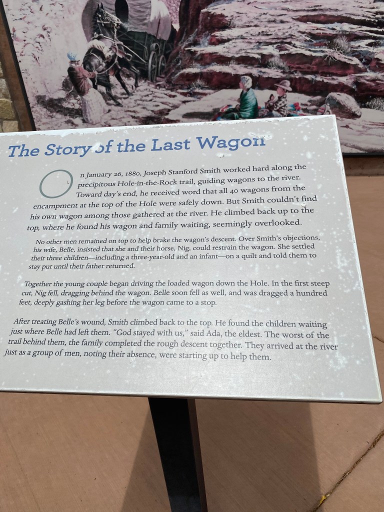
Click to read
While we were in Escalante, we stopped by the (closed) visitor center to pick up some brochures to see what else we could do in town.
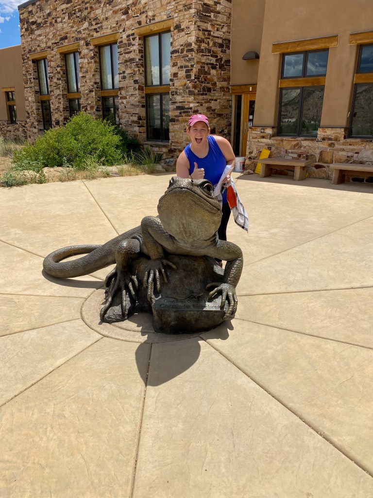
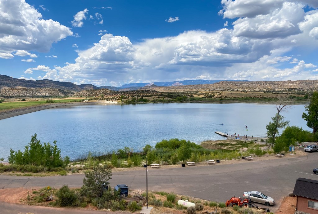
We decided to take a hike through the Escalante Petrified Forest State Park. Not only does the park offer a hike through one of Utah’s best displays of petrified wood, it also has the Wide Hollow Reservoir, which was gorgeous and looked so refreshing. We just stuck to the hike 200 feet to the top of a mesa that gave way to some of the most beautiful petrified wood.
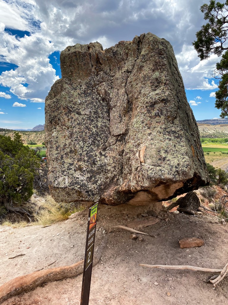
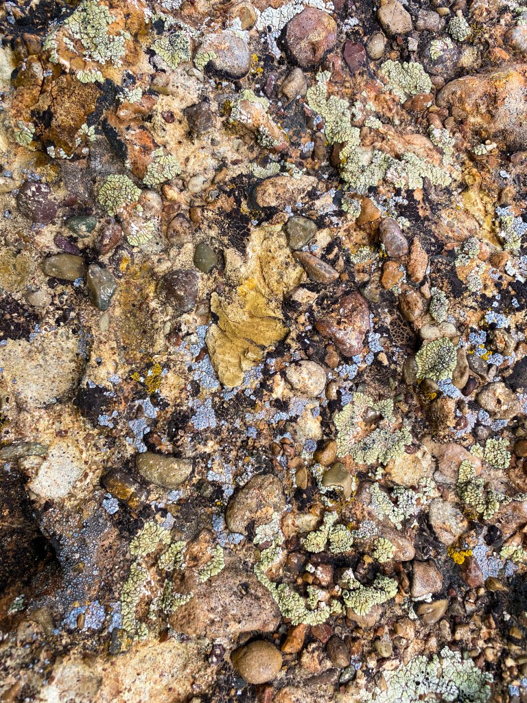
We found another balanced rock along the way. Also, the rock was a brilliant example of the vast array of lichen that grow here, some of them maybe being thousands of years old.
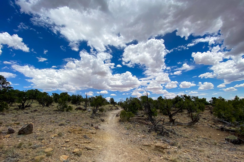
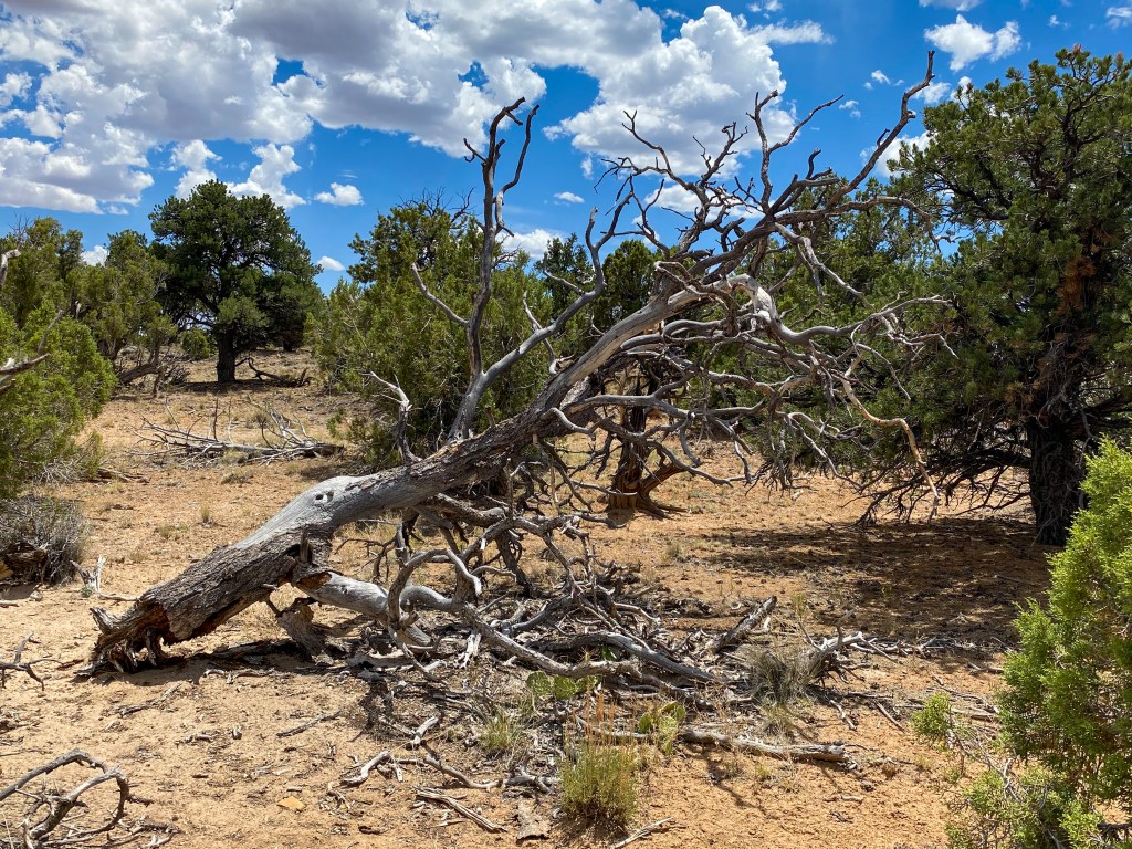
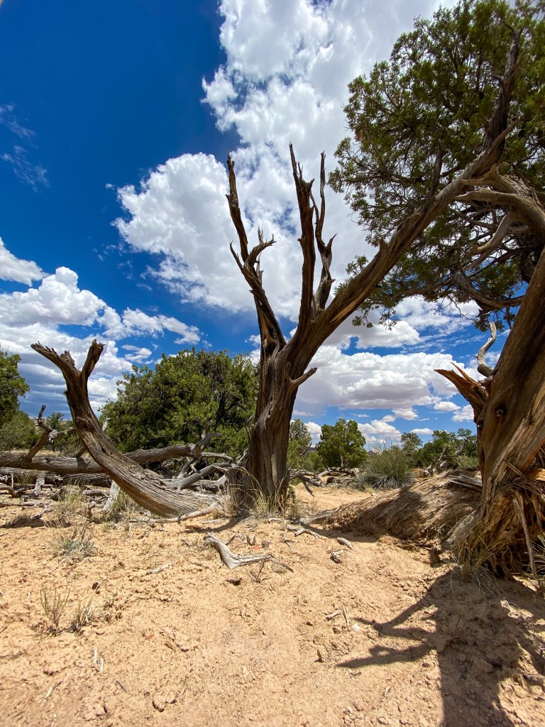
Large chunks of petrified wood are found all over this 1,400 acre park. 5 1/2 million tons of fossilized wood is exposed, with much of it looking almost like driftwood on the ground, but they are surrounded by these twisting, winding, distorted trees that we fell in love with, as you can see by all the pictures we took of them.
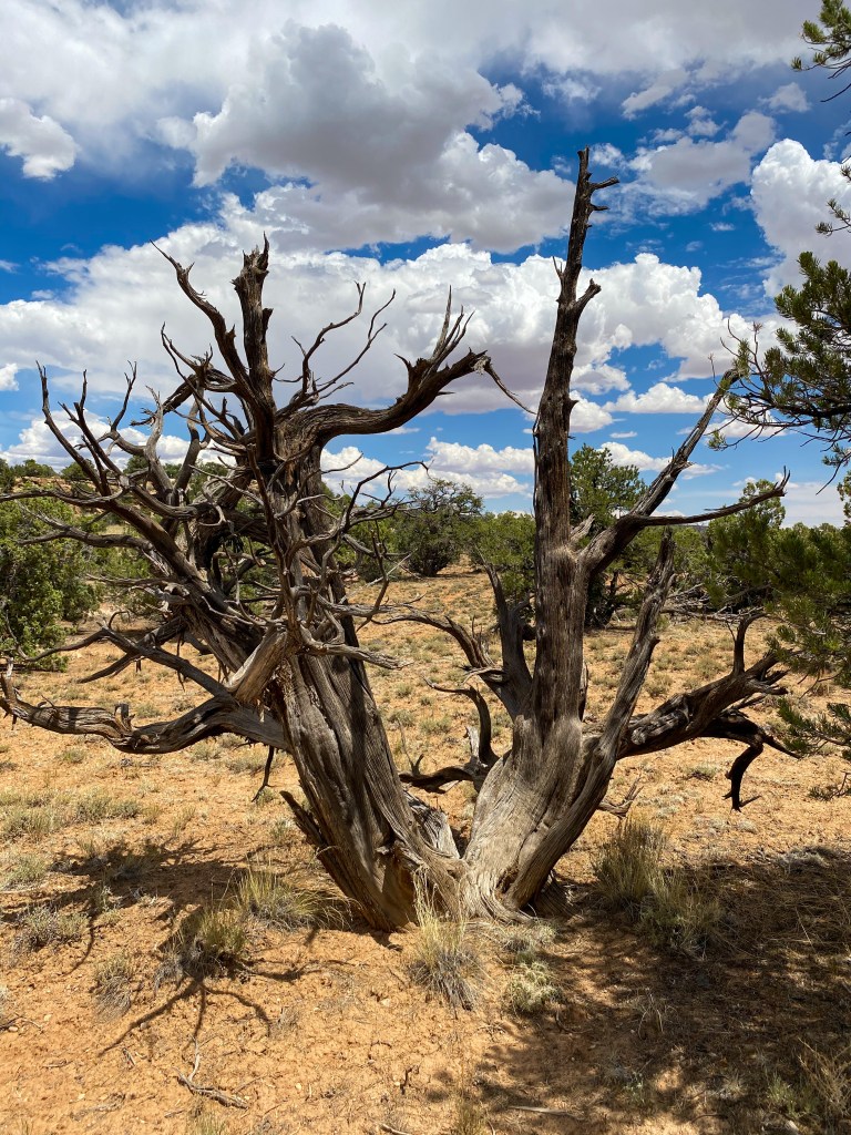
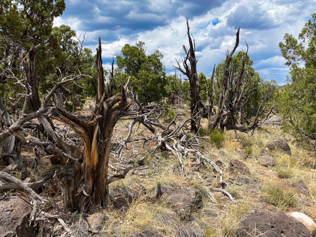
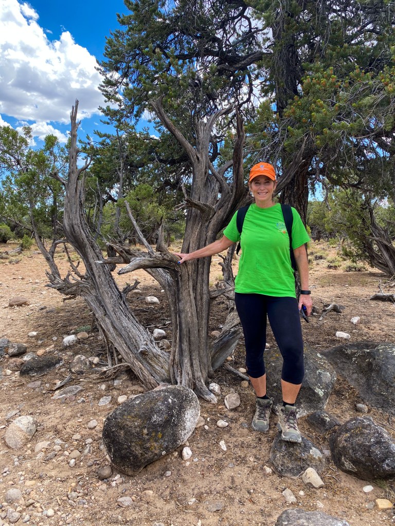
Below is one of the best examples of petrified wood in the park. The colors, the rings, the ‘bark’. This is believed to be a conifer tree more than 200 ft high and over 150 million years old.
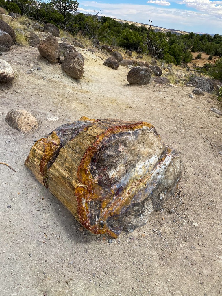
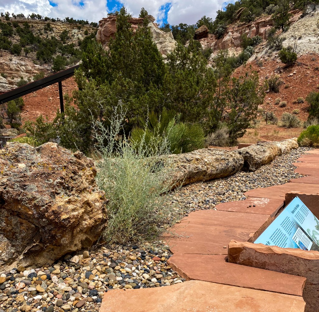
At the beginning of the trail, a 50 ft piece of petrified wood lays on display. It is one of the longest known from the Morrison Formation.
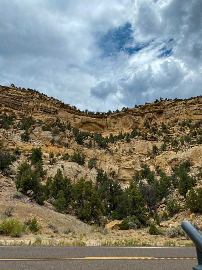
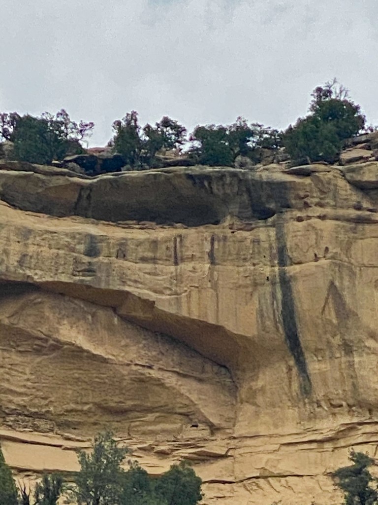
After leaving the forest, there were two more roadside stops on UT-12. The first were the Upper Valley Granaries tucked away into the cliff face above the road. These granaries were thought to be constructed by Ancient Puebloans and used for storing corn, grain, and other foods. Look closely, as it blends in well with the cliff.
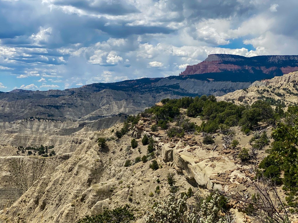
The second stop was the Blues / Powell Point Overlook. The Blues is a badland of grey-green shales from 80 million years ago when this area was an ocean (can you imagine??). Powell Point is the pink limestone ledges sitting at 10,188 feet in elevation. John Wesley Powell was the man who led the expeditions in the 1880s to map these last “blank spots on the map” in the US.
We finally make it to Tropic, UT, a pleasant little town outside of Bryce Canyon National Park. Instead of staying at one of the hotel/motels, we opted for the Bryce Canyon Inn – a log cabin! It was so fun pulling up and seeing our little cabin, and then we saw the inside!
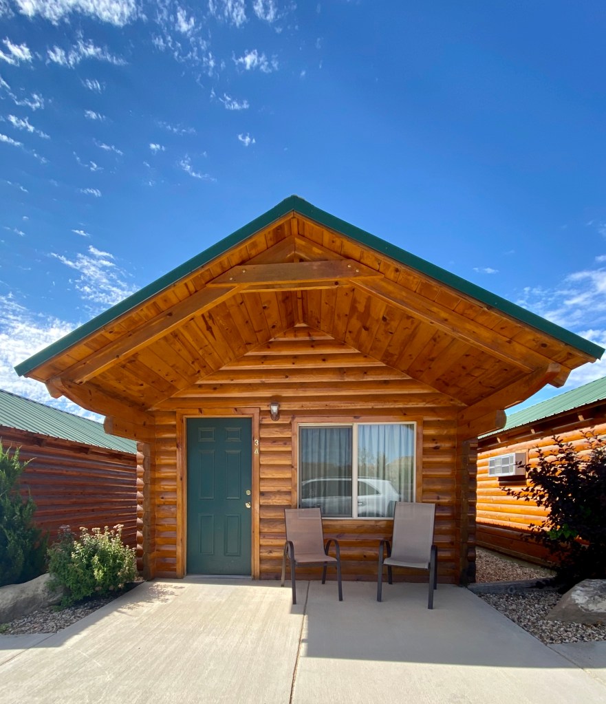
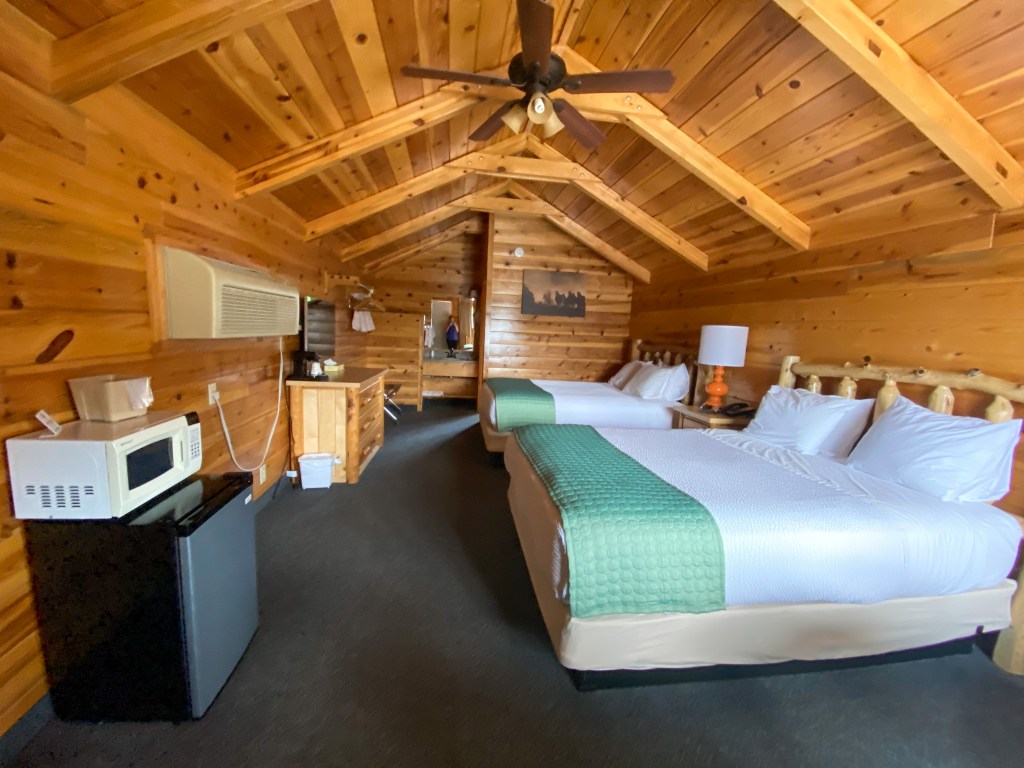
We got dinner from The Pizza Place next door, did some laundry, and headed to bed for a full day tomorrow at Bryce Canyon National Park!
MILES DRIVEN: 114 miles
STEPS: 16,142
HIKES YOU COULDN’T TAKE BECAUSE IT WAS AT THE END OF A DIRT ROAD THAT WAS MORE SAND THAN DIRT AND YOUR CAR COULDN’T MAKE IT UP THE SANDY HILL, SO YOU HAD TO TURN AROUND AND BE SAD FOR A BIT BUT IT WAS OKAY I GUESS: 1 (Willis Creek Slot Canyon looked like so much fun! If you have 4 wheel drive, go hike it!)


Dani, all your pictures are amazing!!! Love following you both on this incredible trip!!
LikeLike